Elevation of Philbrook Lake Campground, Magalia, CA, USA
Location: United States > California > Butte County > Magalia >
Longitude: -121.4671935
Latitude: 40.0276603
Elevation: 1698m / 5571feet
Barometric Pressure: 0KPa
Related Photos:

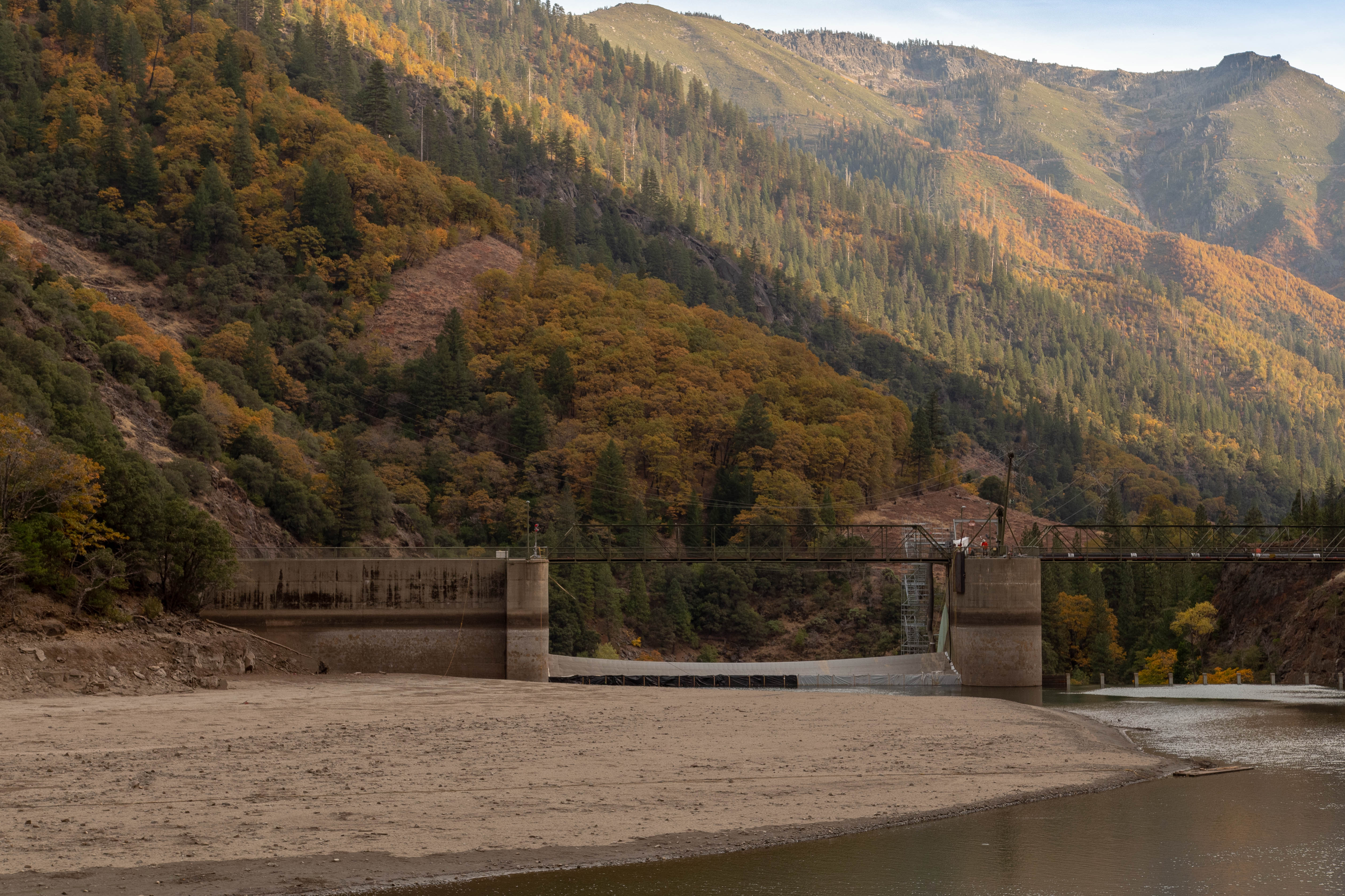
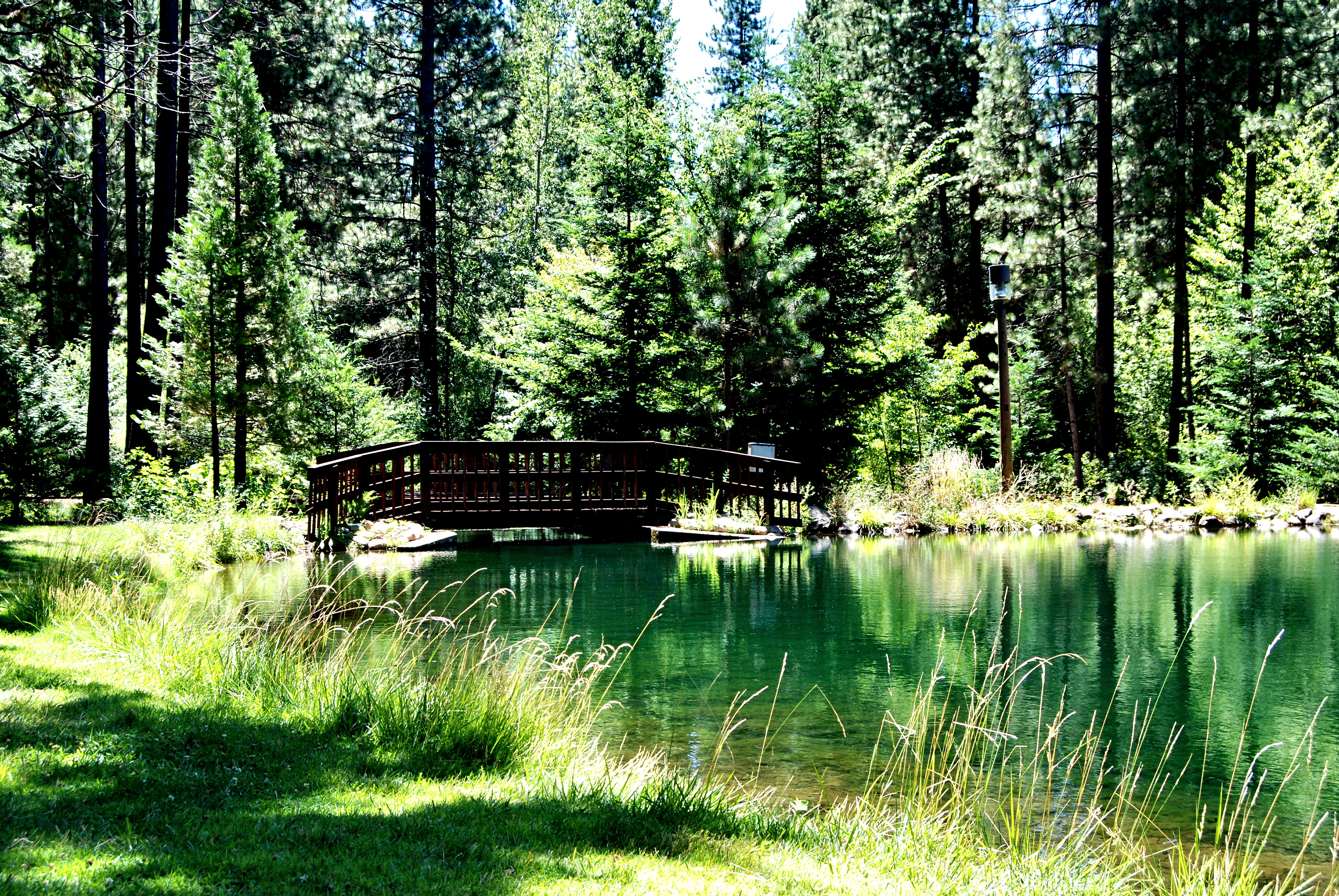
2017-06-19_10-20-36

L1020041.NEF
quincy-3028-8221-HDR.jpg
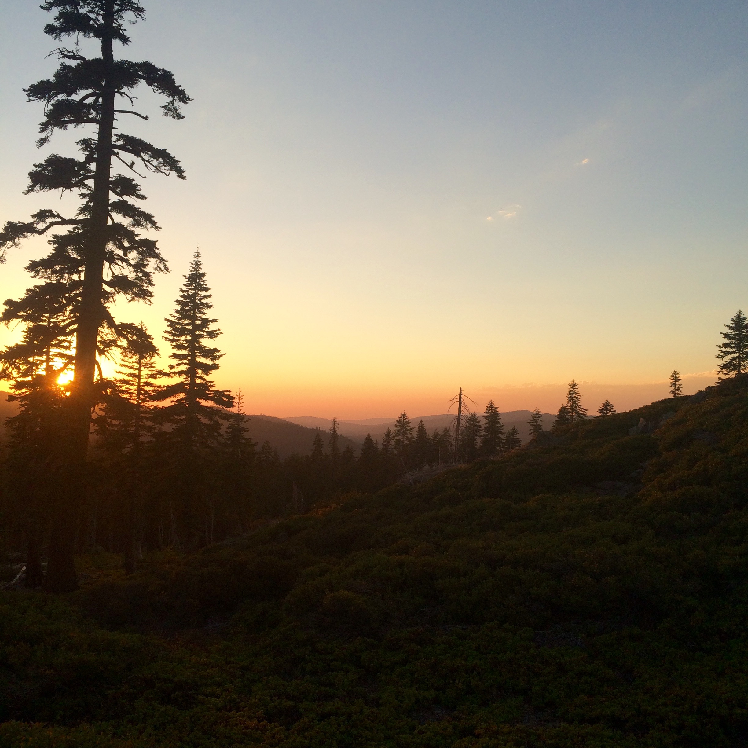
PCT from iPhone
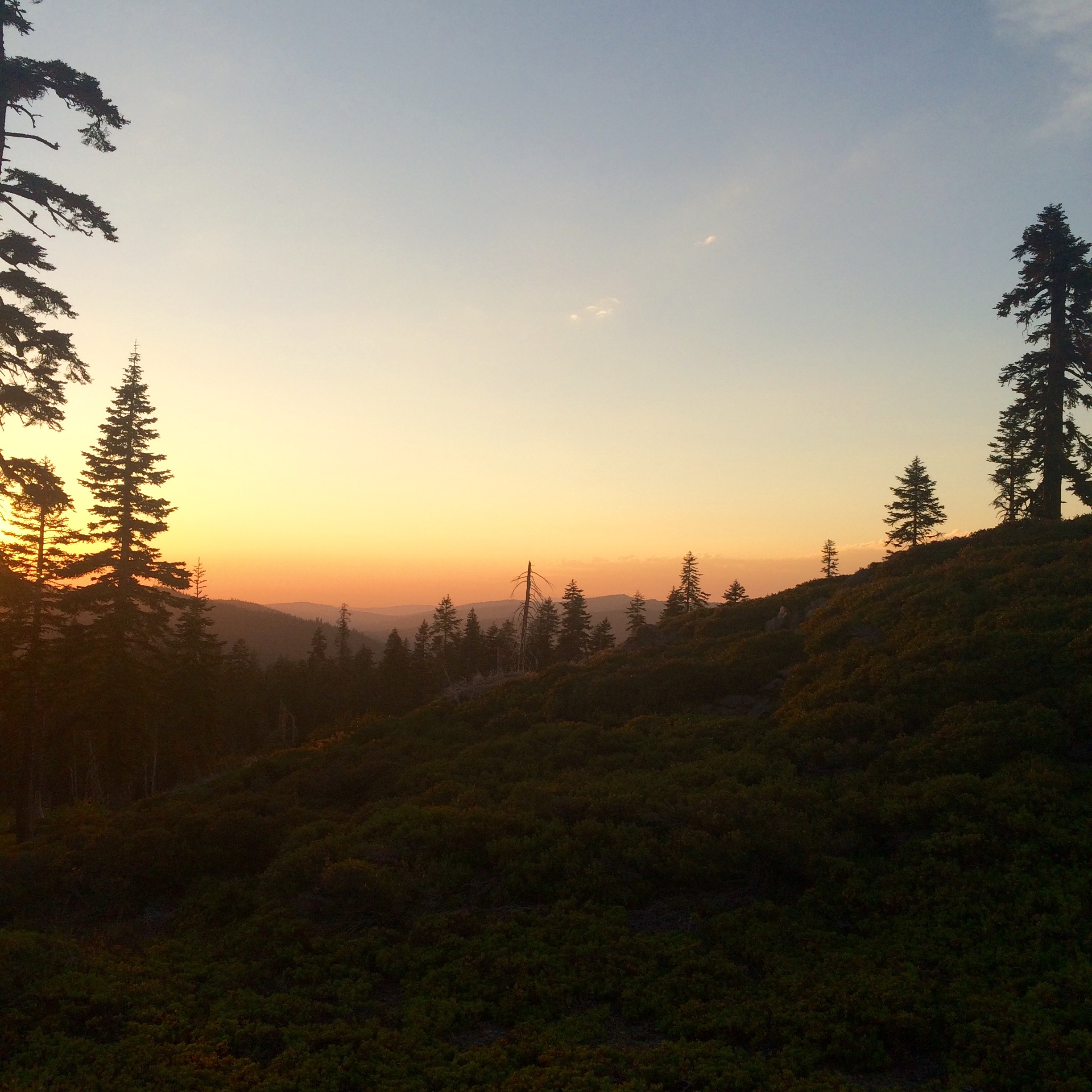
PCT from iPhone
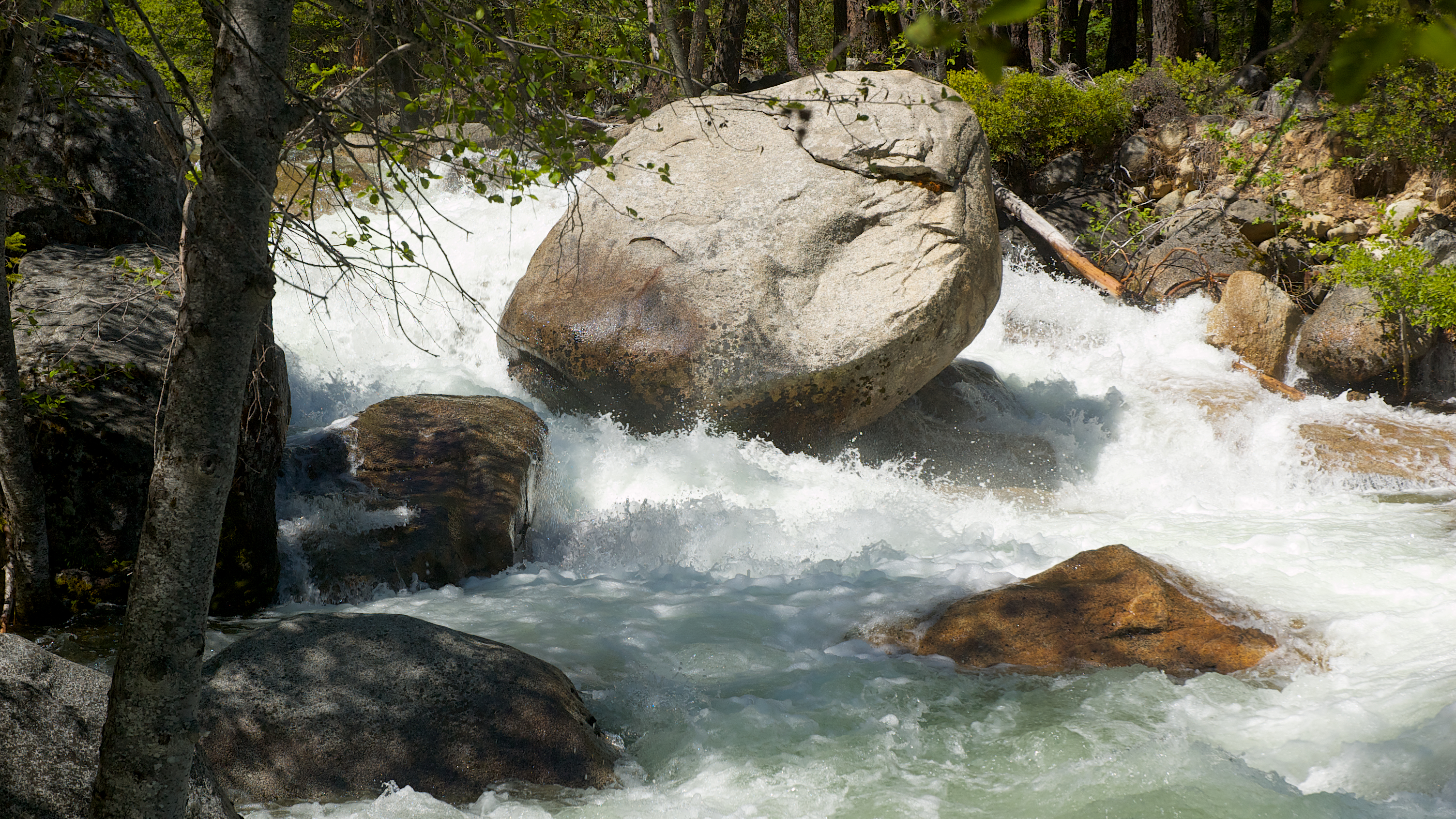
Rock Creek

Water!
O'B

Rock Creek
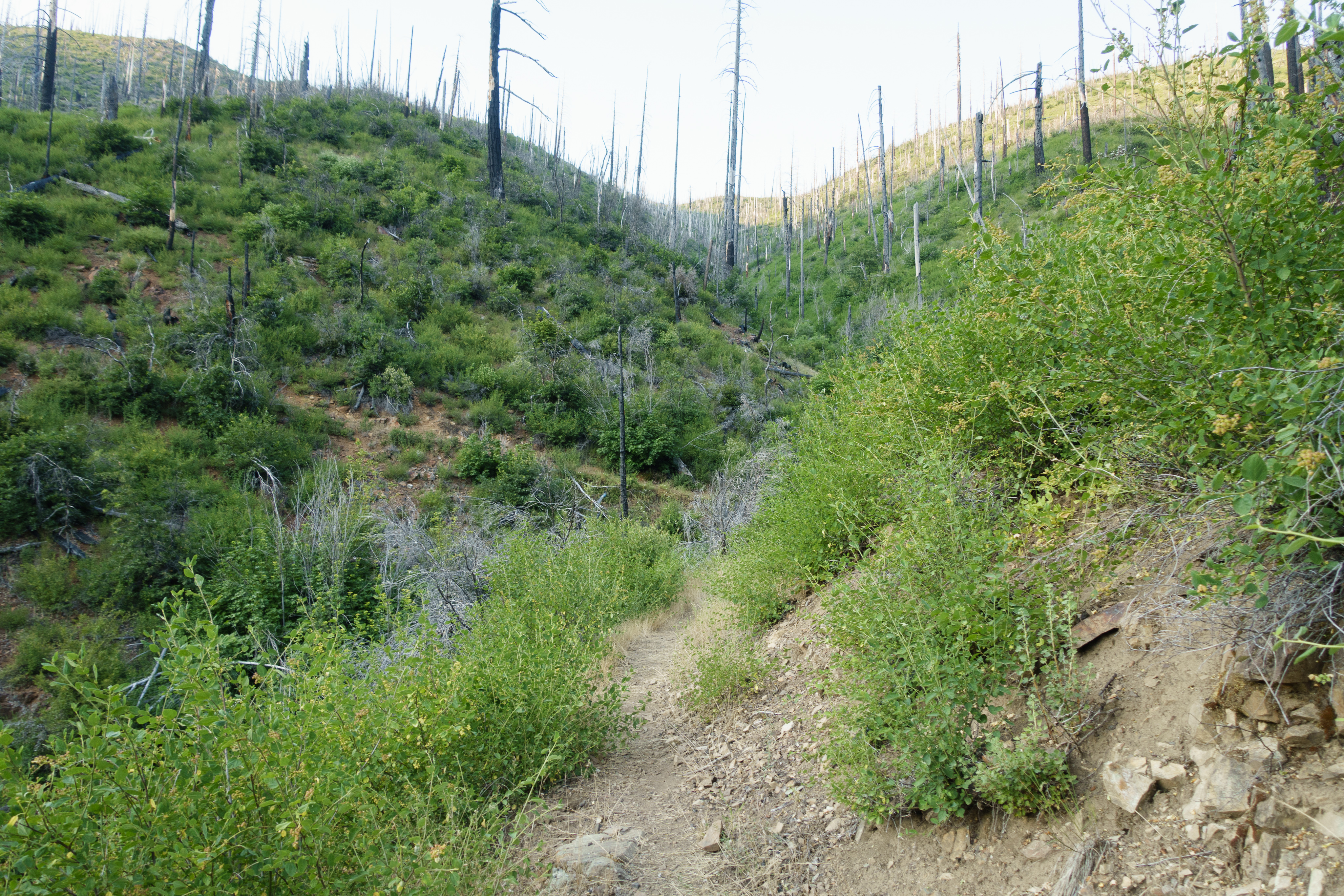
Not all the PCT is inspiring
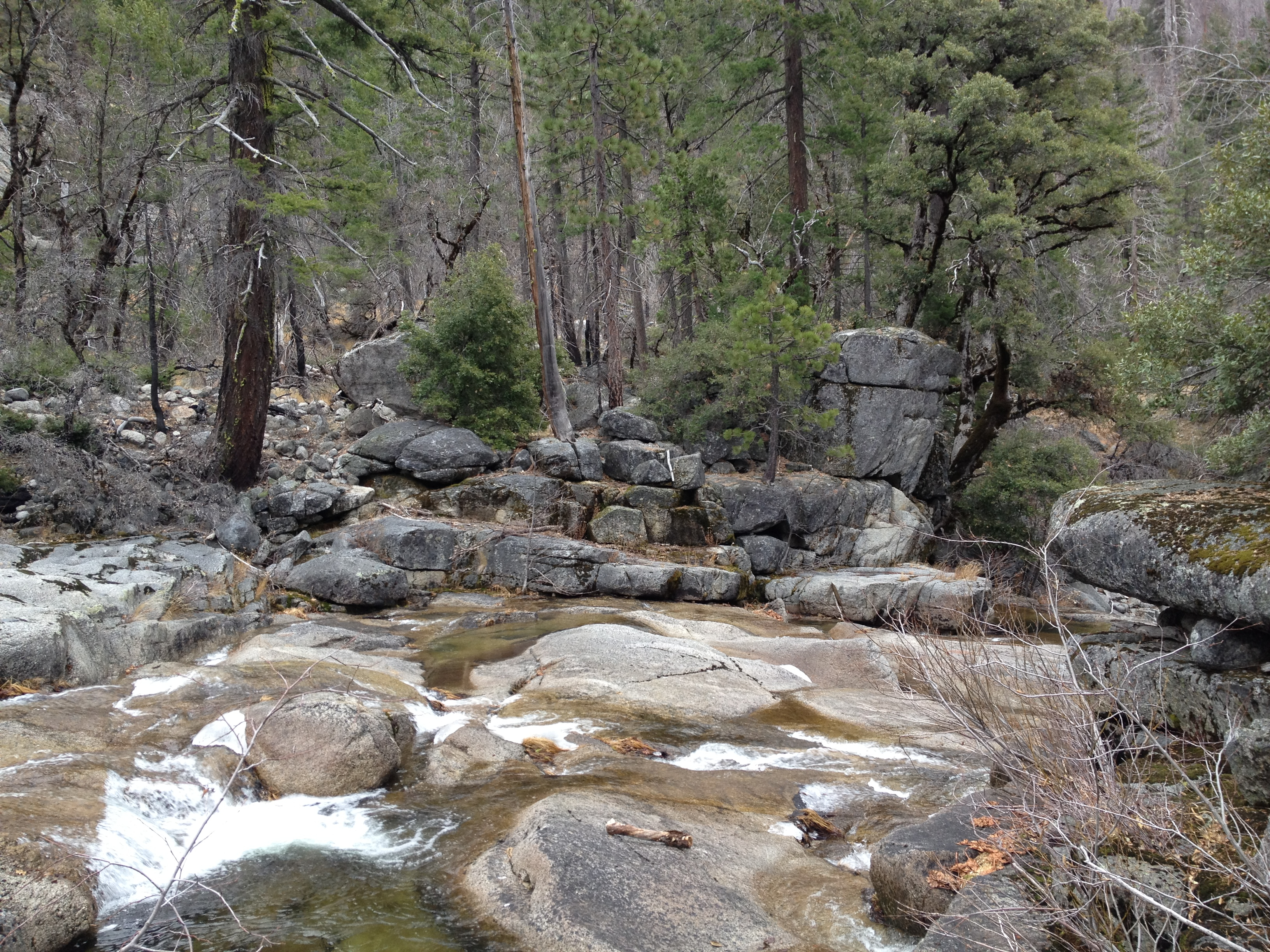
Low water Rock Creek
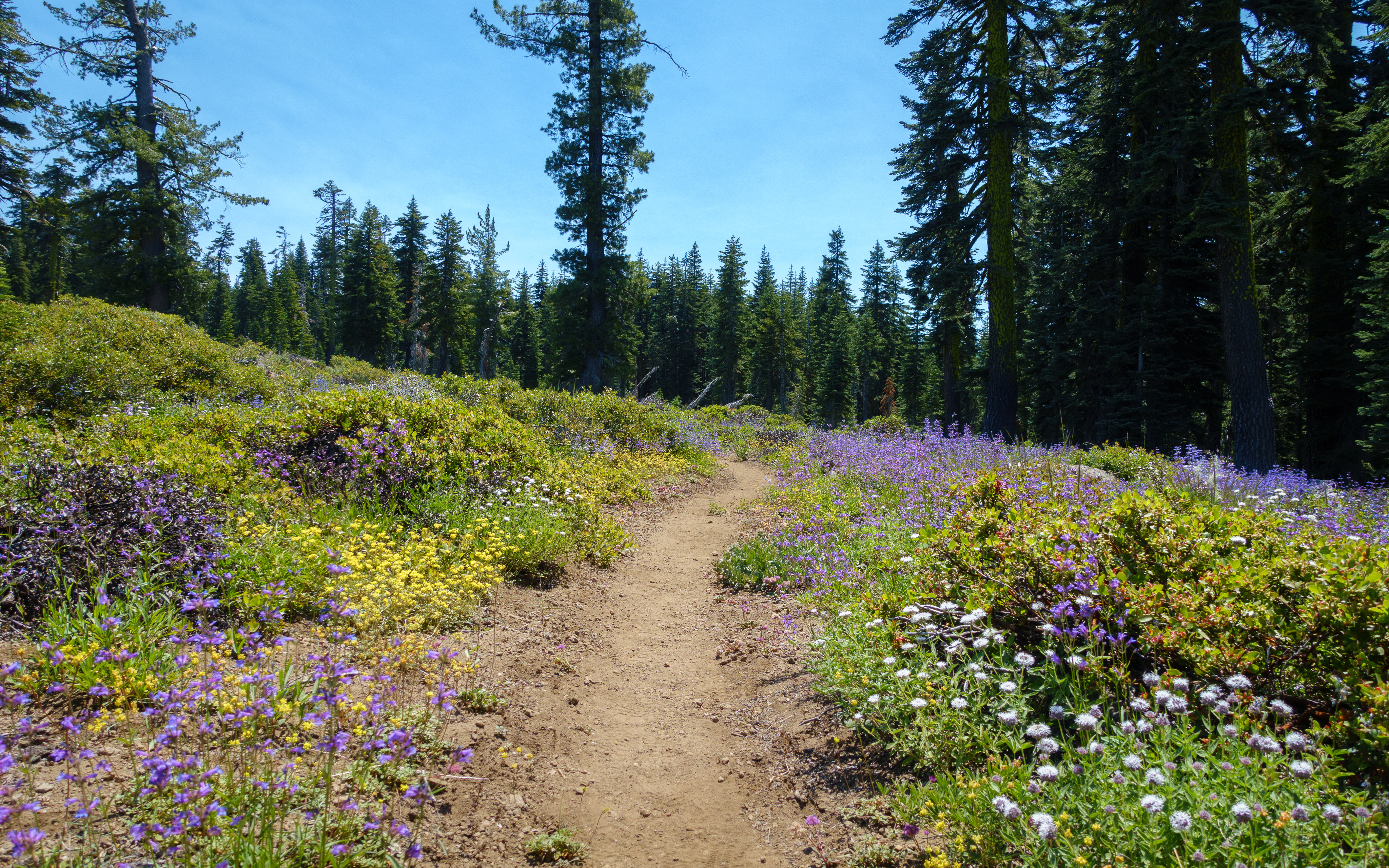
Frog Mountain flowers

Rock Creek

_7140016.NEF
Topographic Map of Philbrook Lake Campground, Magalia, CA, USA
Find elevation by address:

Places near Philbrook Lake Campground, Magalia, CA, USA:
Humbug Summit Rd, Stirling City, CA, USA
Inskip
Bambi Inn
Humboldt Rd, Butte Meadows, CA, USA
Butte Meadows
Stirling City
7877 Granite St
Lovelock Rd, Magalia, CA, USA
Lovelock
Coutolenc Rd, Magalia, CA, USA
CA-70, Storrie, CA, USA
Storrie
15939 Skyway
15750 Coutolenc Rd
15750 Coutolenc Rd
6671 Hupp Coutolenc Rd
6616 Hupp Coutolenc Rd
15251 Crystal Mountain Rd
Feather River Canyon
California 32
Recent Searches:
- Elevation of 24, Auburn Bay Crescent SE, Auburn Bay, Calgary, Alberta, T3M 0A6, Canada
- Elevation of Denver, 2314, Arapahoe Street, Five Points, Denver, Colorado, 80205, USA
- Elevation of Community of the Beatitudes, 2924, West 43rd Avenue, Sunnyside, Denver, Colorado, 80211, USA
- Elevation map of Litang County, Sichuan, China
- Elevation map of Madoi County, Qinghai, China
- Elevation of 3314, Ohio State Route 114, Payne, Paulding County, Ohio, 45880, USA
- Elevation of Sarahills Drive, Saratoga, Santa Clara County, California, 95070, USA
- Elevation of Town of Bombay, Franklin County, New York, USA
- Elevation of 9, Convent Lane, Center Moriches, Suffolk County, New York, 11934, USA
- Elevation of Saint Angelas Convent, 9, Convent Lane, Center Moriches, Suffolk County, New York, 11934, USA
- Elevation of 131st Street Southwest, Mukilteo, Snohomish County, Washington, 98275, USA
- Elevation of 304, Harrison Road, Naples, Cumberland County, Maine, 04055, USA
- Elevation of 2362, Timber Ridge Road, Harrisburg, Cabarrus County, North Carolina, 28075, USA
- Elevation of Ridge Road, Marshalltown, Marshall County, Iowa, 50158, USA
- Elevation of 2459, Misty Shadows Drive, Pigeon Forge, Sevier County, Tennessee, 37862, USA
- Elevation of 8043, Brightwater Way, Spring Hill, Williamson County, Tennessee, 37179, USA
- Elevation of Starkweather Road, San Luis, Costilla County, Colorado, 81152, USA
- Elevation of 5277, Woodside Drive, Baton Rouge, East Baton Rouge Parish, Louisiana, 70808, USA
- Elevation of 1139, Curtin Street, Shepherd Park Plaza, Houston, Harris County, Texas, 77018, USA
- Elevation of 136, Sellers Lane, Repton, Monroe County, Alabama, 36475, USA