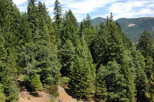
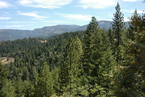
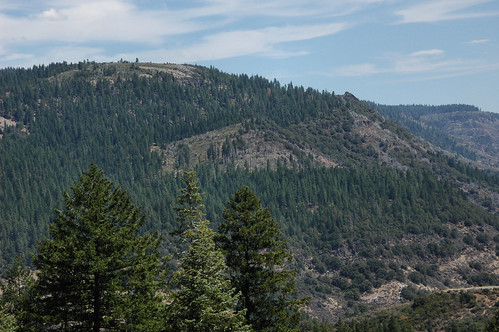
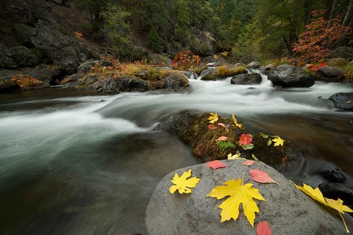
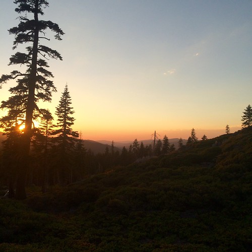
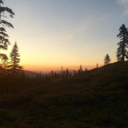
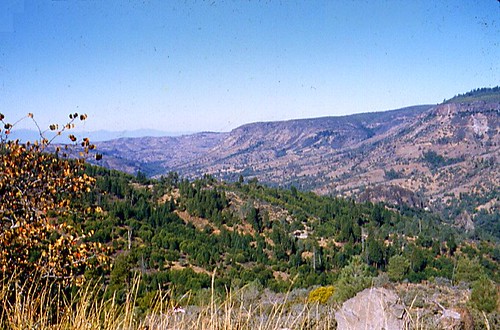
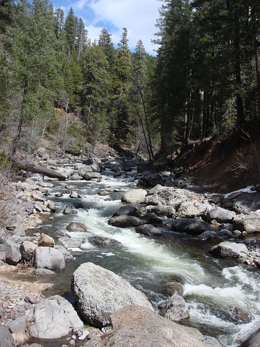
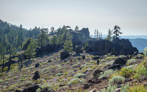
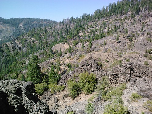
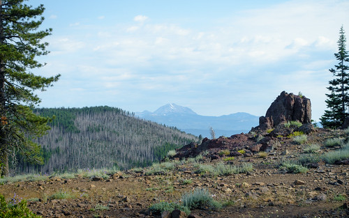
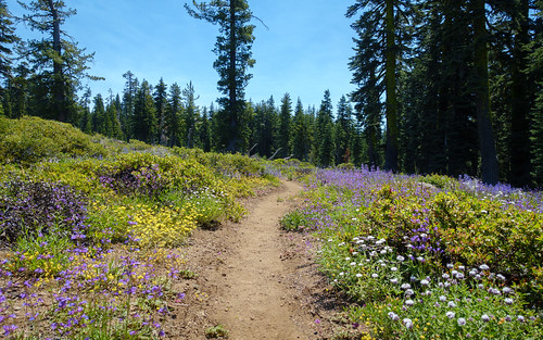
Elevation of Humboldt Rd, Butte Meadows, CA, USA
Location: United States > California > Butte County >
Longitude: -121.55076
Latitude: 40.081561
Elevation: 1323m / 4341feet
Barometric Pressure: 86KPa
Related Photos:
Topographic Map of Humboldt Rd, Butte Meadows, CA, USA
Find elevation by address:

Places near Humboldt Rd, Butte Meadows, CA, USA:
Butte Meadows
Bambi Inn
Humbug Summit Rd, Stirling City, CA, USA
Inskip
Philbrook Lake Campground
California 32
Lovelock Rd, Magalia, CA, USA
Stirling City
7877 Granite St
Ceejay Rd, Chico, CA, USA
5677 Royal Driftway
Lovelock
Coutolenc Rd, Magalia, CA, USA
15939 Skyway
15750 Coutolenc Rd
15750 Coutolenc Rd
6671 Hupp Coutolenc Rd
6616 Hupp Coutolenc Rd
Butt Mountain
123 Mud Creek Rd
Recent Searches:
- Elevation of Corso Fratelli Cairoli, 35, Macerata MC, Italy
- Elevation of Tallevast Rd, Sarasota, FL, USA
- Elevation of 4th St E, Sonoma, CA, USA
- Elevation of Black Hollow Rd, Pennsdale, PA, USA
- Elevation of Oakland Ave, Williamsport, PA, USA
- Elevation of Pedrógão Grande, Portugal
- Elevation of Klee Dr, Martinsburg, WV, USA
- Elevation of Via Roma, Pieranica CR, Italy
- Elevation of Tavkvetili Mountain, Georgia
- Elevation of Hartfords Bluff Cir, Mt Pleasant, SC, USA
