Elevation of Mud Creek Rd, Chico, CA, USA
Location: United States > California > Butte County > Chico >
Longitude: -121.71738
Latitude: 39.9464888
Elevation: 994m / 3261feet
Barometric Pressure: 90KPa
Elevation Map:
Satellite Map:
Related Photos:

02•52 • dog nose
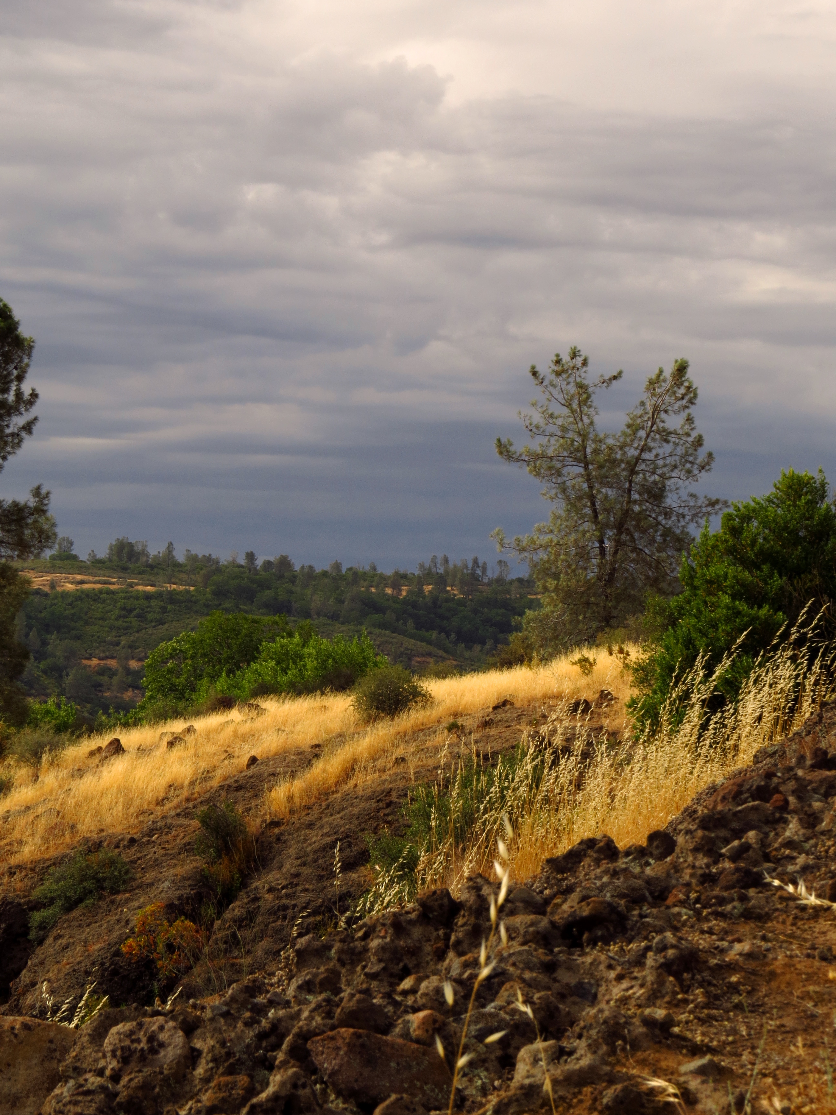
Gold and green
O'B (6)
Rock and Moss
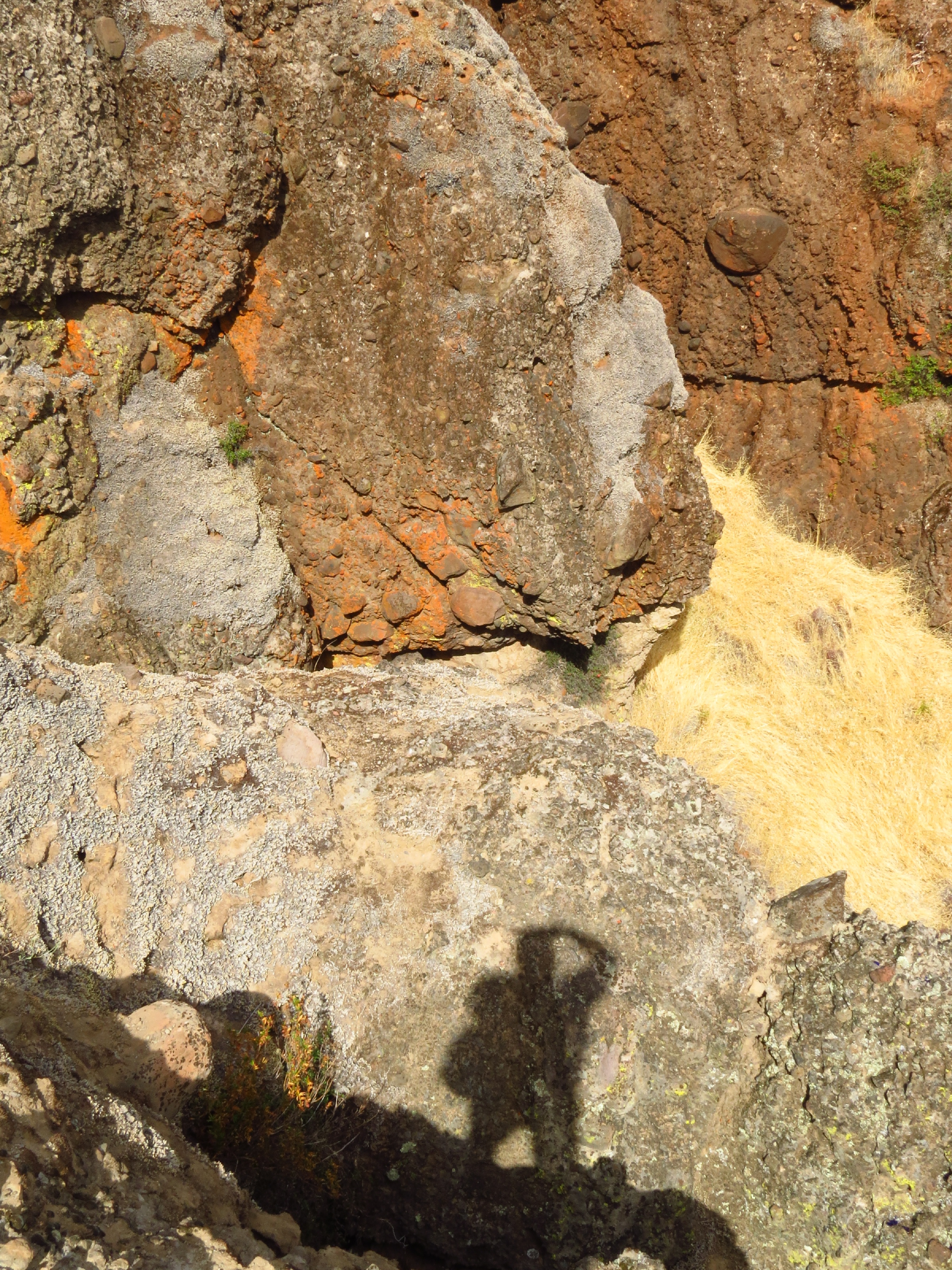
photographers shadow 2fer
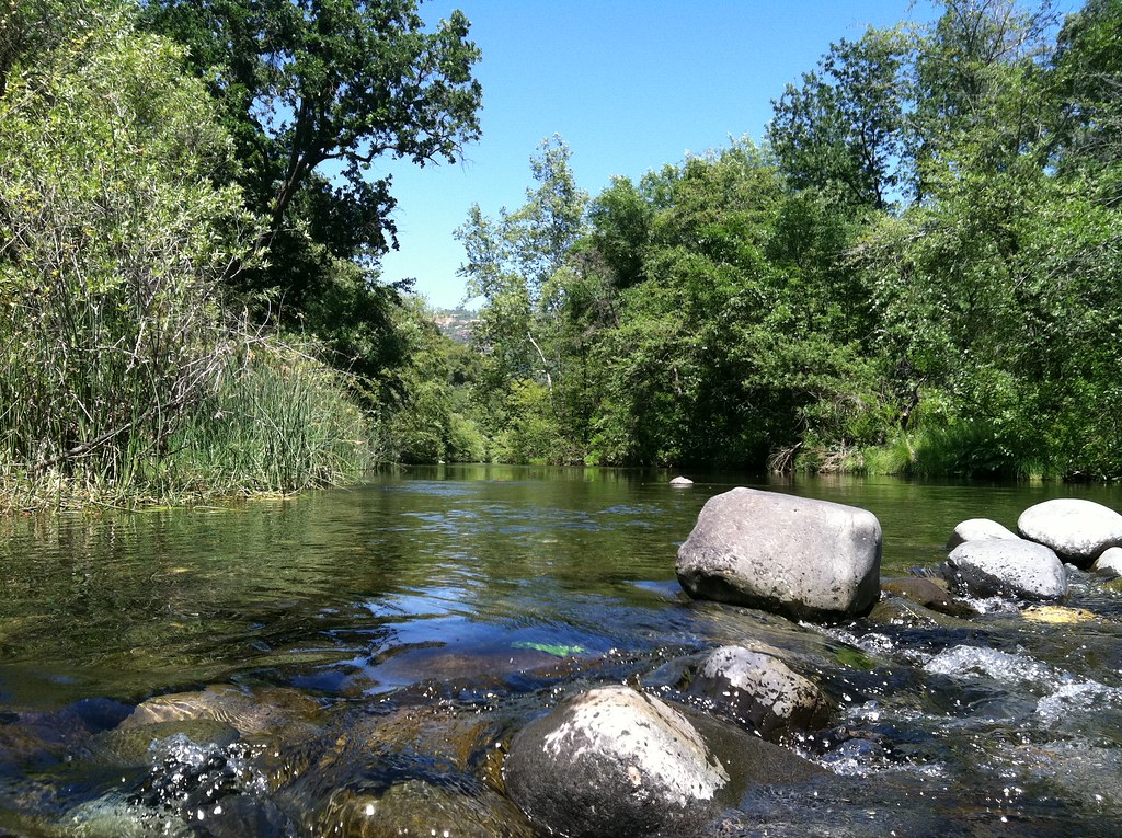
Big Chico Creek
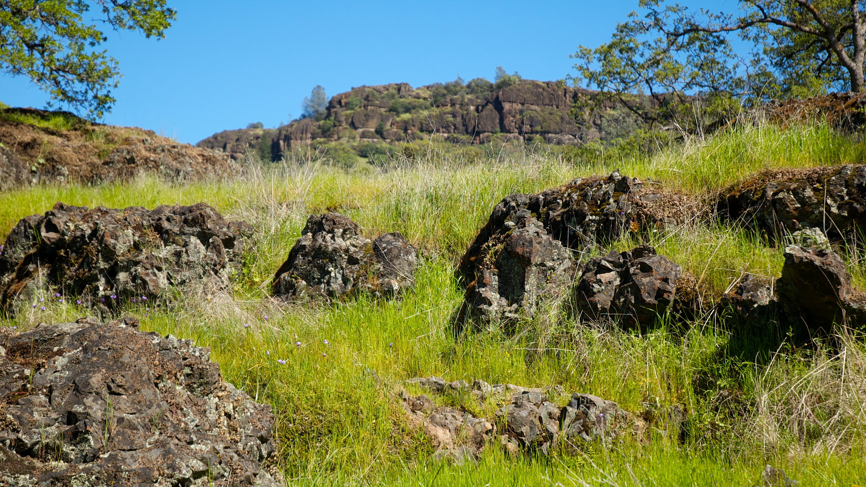
Basalt Rock

_7140008.NEF

Propaganda Chair
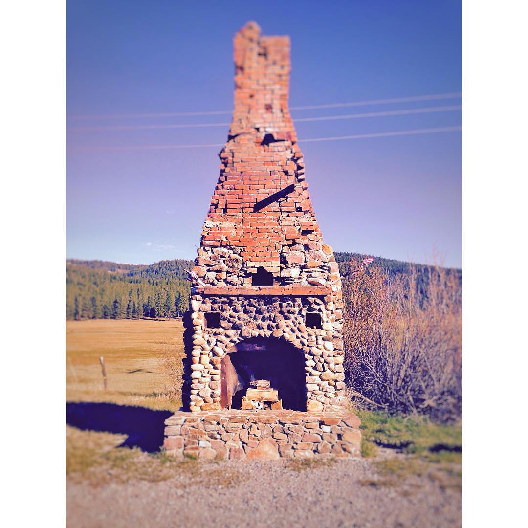
This is all that's left of a gas station (originally built by PG&E) turned restaurant in Forest Ranch. Due to a fire in the 1960's, the only thing left standing is this fireplace. #miniroadtrip @lumber_jak

Wedding Portraits: Jenni & Brett

Wedding Portraits: Jenni & Brett

Wedding Portraits: Brett

Wedding: Picture Time

2018-08-05_09-21-53
2018-08-05_09-20-38

2018-08-04_09-07-09
2018-08-04_06-12-04

Californie, Butte County - Stirling City - 1983

Californie, Butte County - Stirling City - 1983 (2)

Californie, Butte County - Stirling City - 1987
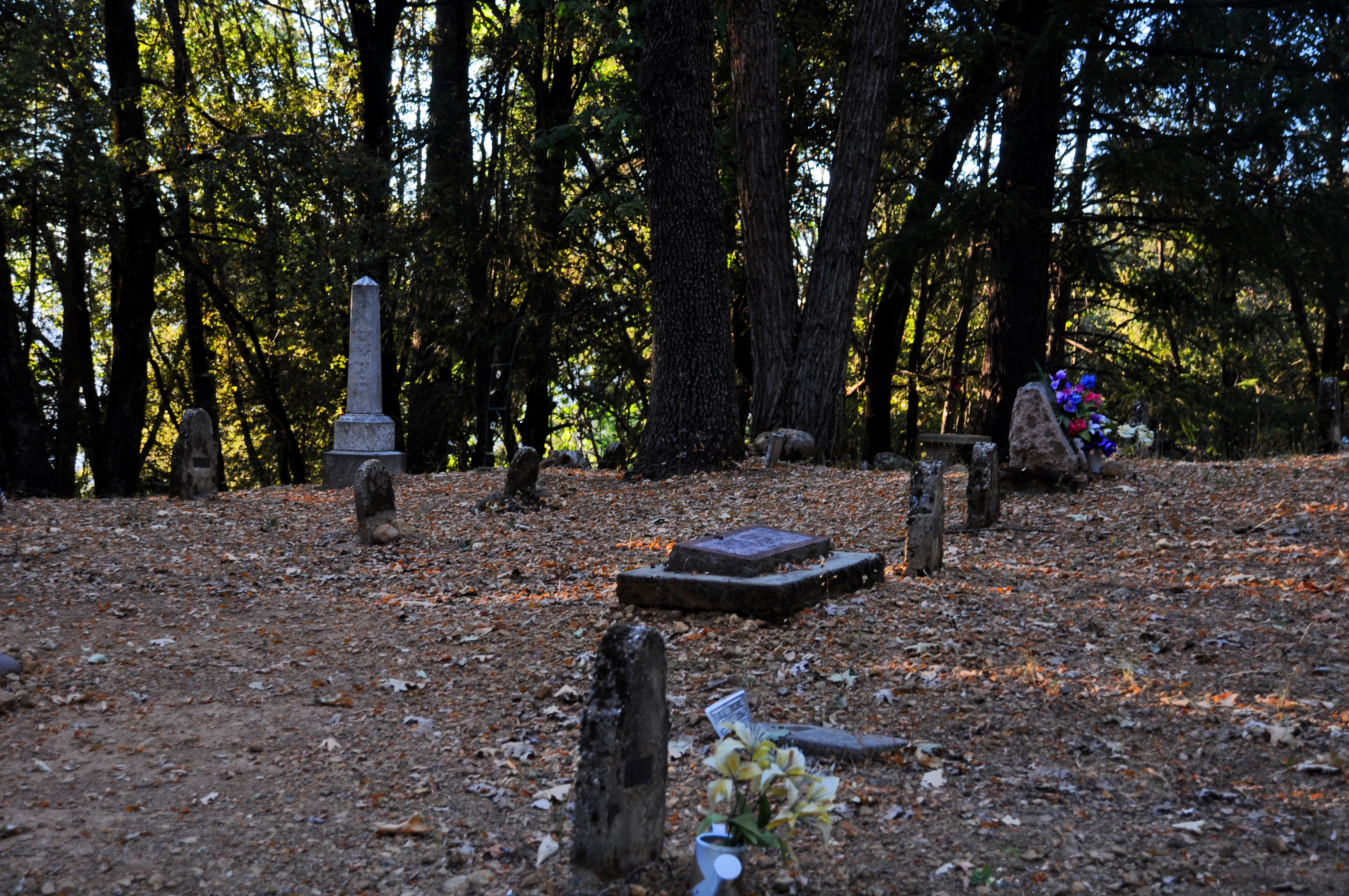
Forest Ranch Cemetery
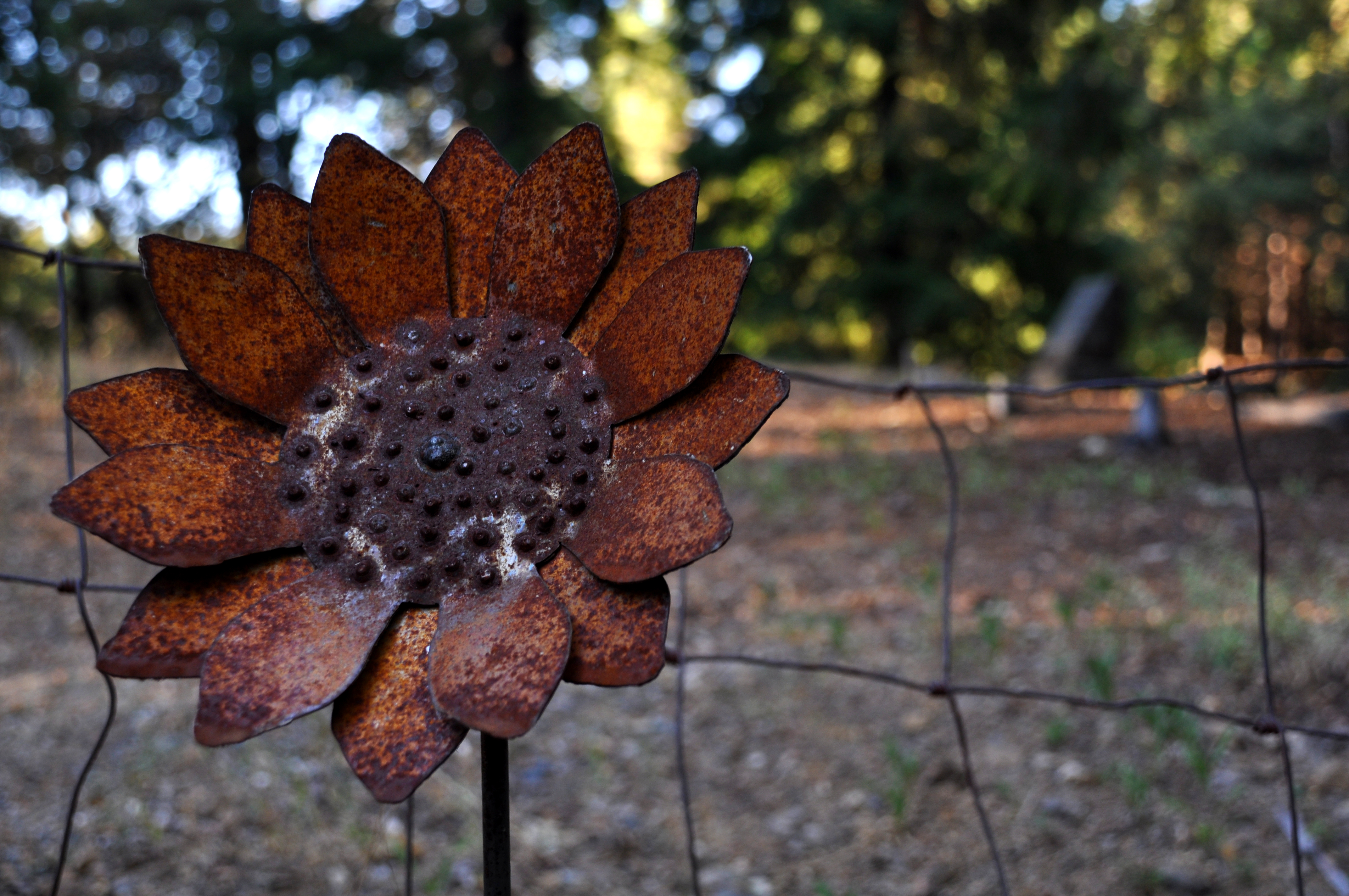
Rusty Sunflower, Forest Ranch Cemetery 2
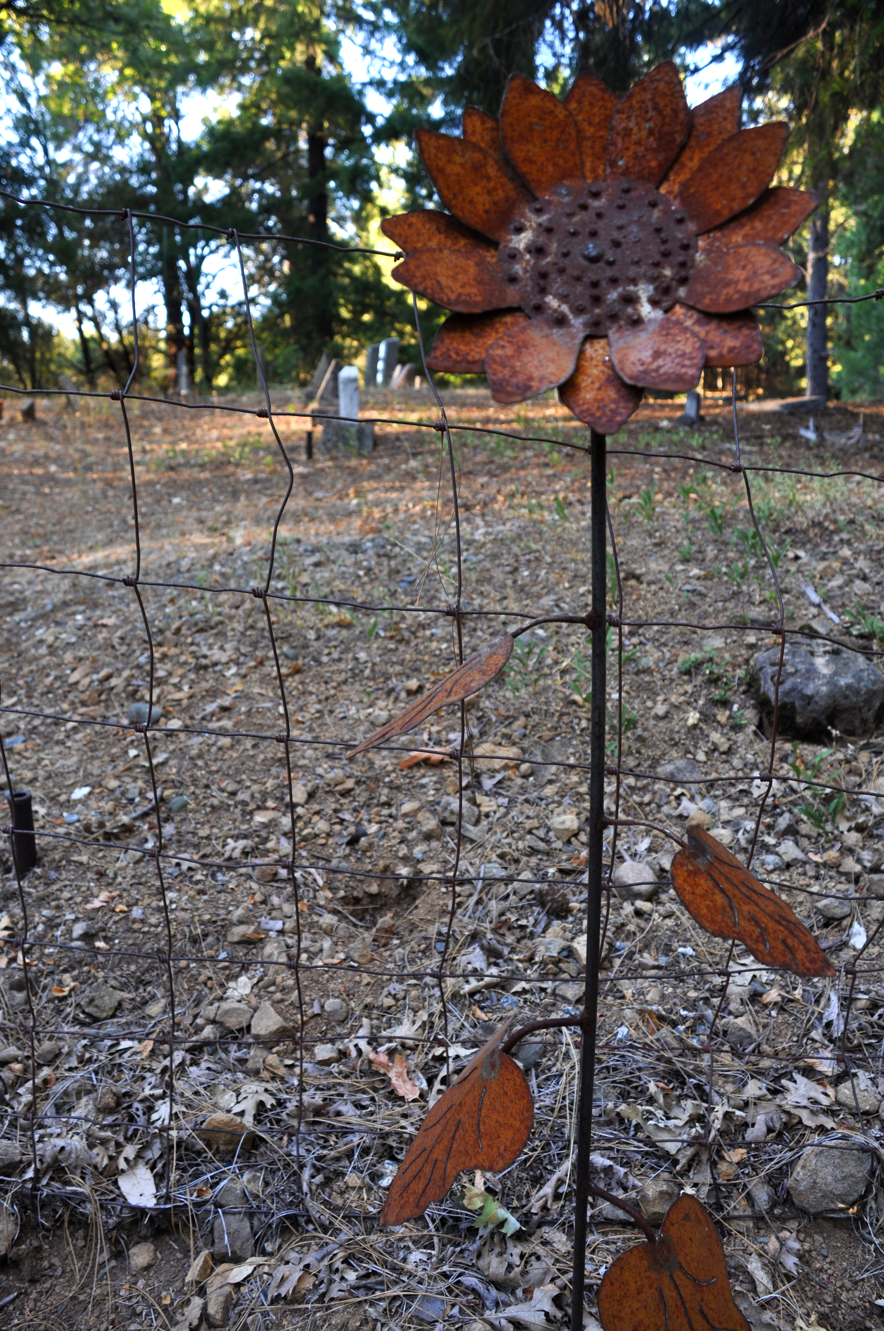
Rusty Sunflower, Forest Ranch Cemetery 1

_7140019.NEF
Efflorescence and lichens
Topographic Map of Mud Creek Rd, Chico, CA, USA
Find elevation by address:

Places near Mud Creek Rd, Chico, CA, USA:
110 Bull Creek Ln
Cohasset
146 Whispering Pines Cir
9640 Cohasset Rd
9460 Cohasset Rd
California 32
46 North Point Rd
16298 Forest Ranch Rd
4807 Schott Rd
5218 Pine Way
5218 Pine Way
Forest Ranch Rd, Forest Ranch, CA, USA
Ceejay Rd, Chico, CA, USA
Forest Ranch Way
4864 Tippytoe Ln
Forest Ranch
15283 Forest Ranch Way
5677 Royal Driftway
Richardson Springs Rd, Chico, CA, USA
De Sabla
Recent Searches:
- Elevation of Corso Fratelli Cairoli, 35, Macerata MC, Italy
- Elevation of Tallevast Rd, Sarasota, FL, USA
- Elevation of 4th St E, Sonoma, CA, USA
- Elevation of Black Hollow Rd, Pennsdale, PA, USA
- Elevation of Oakland Ave, Williamsport, PA, USA
- Elevation of Pedrógão Grande, Portugal
- Elevation of Klee Dr, Martinsburg, WV, USA
- Elevation of Via Roma, Pieranica CR, Italy
- Elevation of Tavkvetili Mountain, Georgia
- Elevation of Hartfords Bluff Cir, Mt Pleasant, SC, USA