Elevation of Forest Ranch Rd, Forest Ranch, CA, USA
Location: United States > California > Butte County > Forest Ranch >
Longitude: -121.66578
Latitude: 39.8956604
Elevation: 835m / 2739feet
Barometric Pressure: 92KPa
Elevation Map:
Satellite Map:
Related Photos:

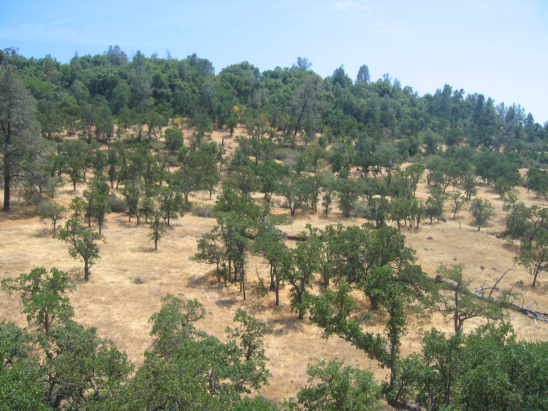
fungus among us... {Explore #62}

02•52 • dog nose

O'B (6)

View from Old Magalia

Her Spirit

diet coke and mentos

Gold and green

obey the earth

Christmas Nova Explosion in D Minor

Christmas Nova Explosion in D Major

spider webs of squirrels

June 12, 2008

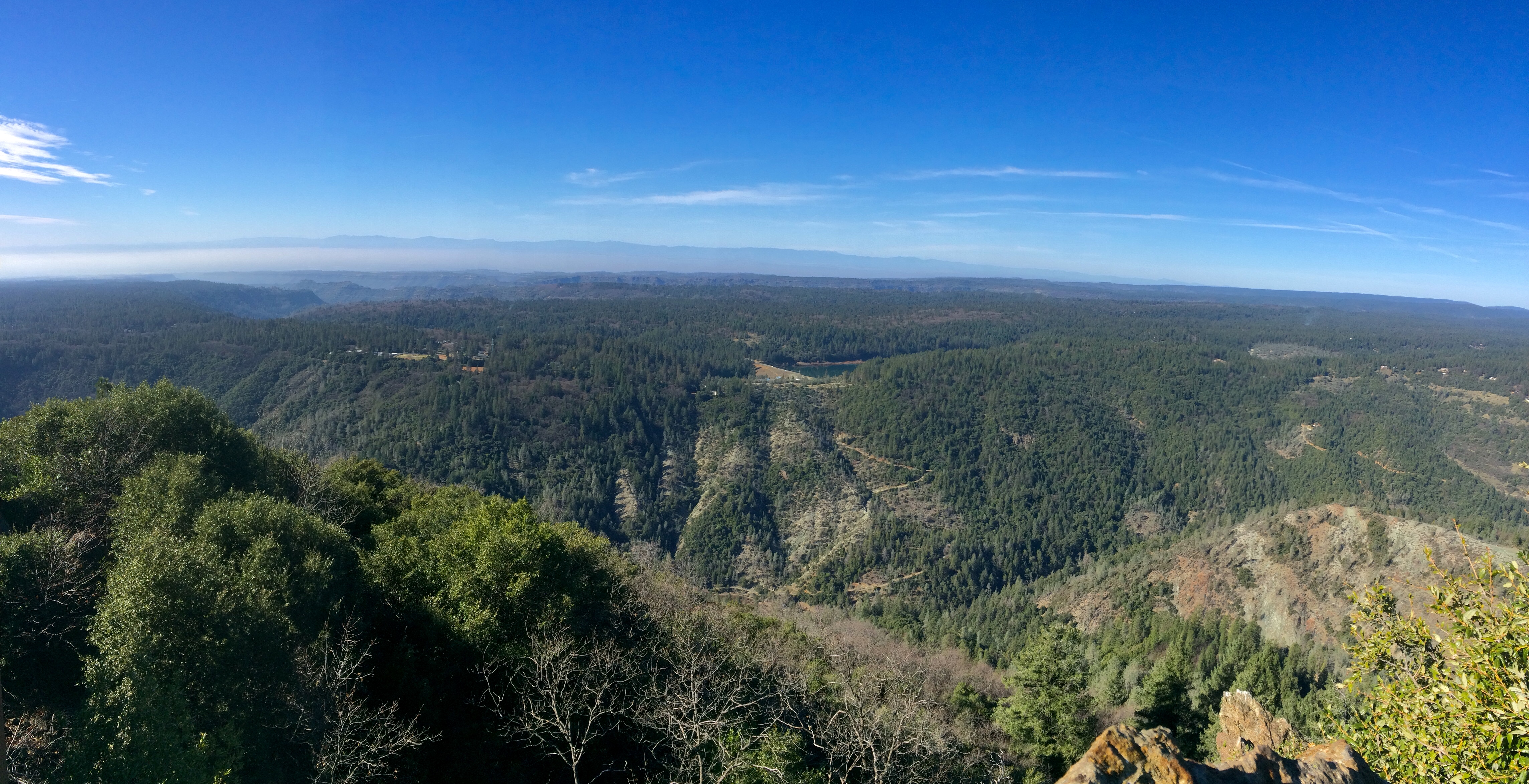
Enjoying the view

Canyon View
Back view...

Peregrine Point

Upper Bidwell Park Hike 2012

7 year itch...

Bear Hole Panoramic

Swimming Hole

Bear Hole - Bidwell Park

Bear Hole - Bidwell Park

Folded tissue
Sawmill Peak in February in shorts. 70 and sunny.
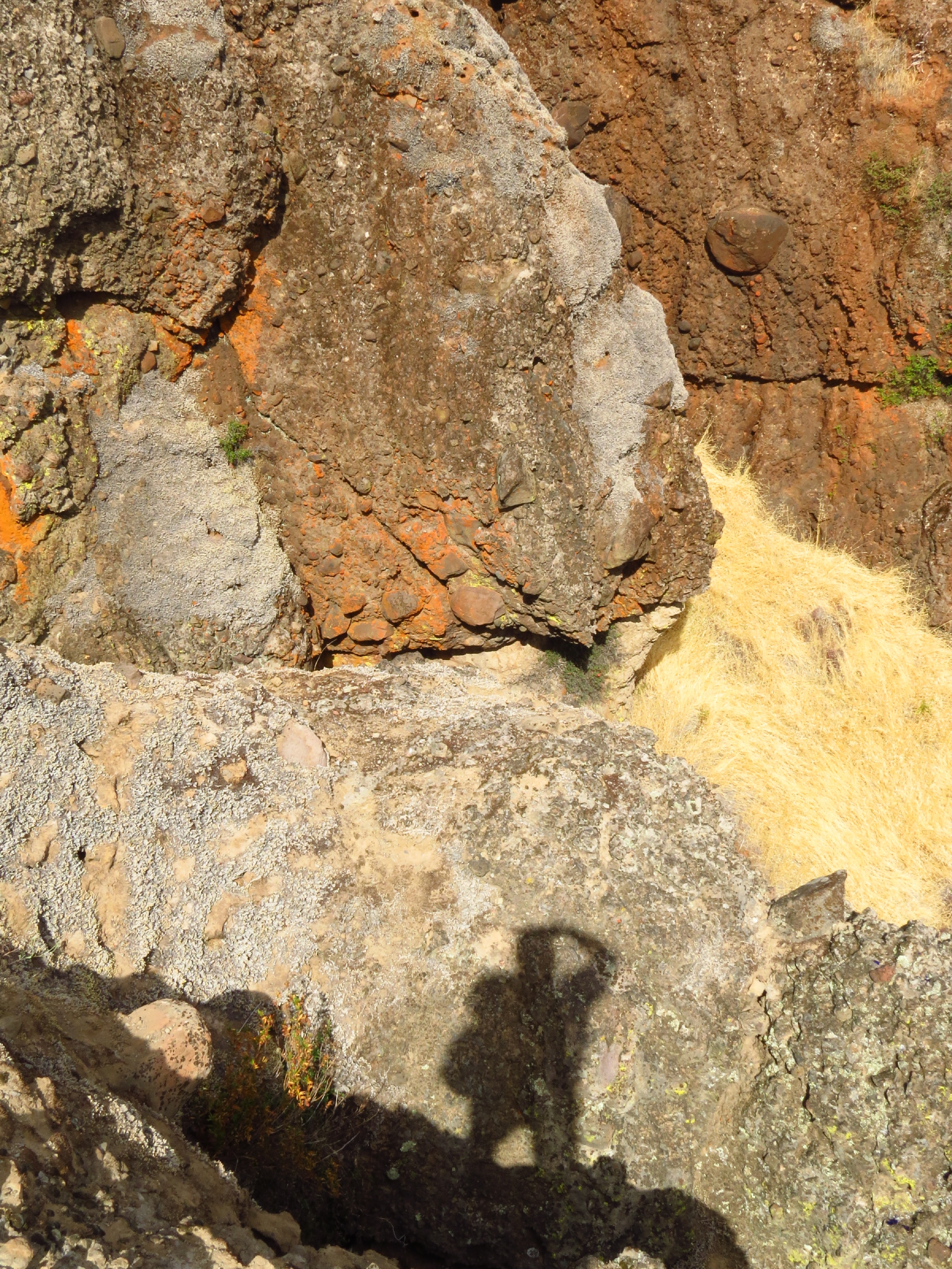
photographers shadow 2fer

The Last Stand

Near Salmon Hole, Upper Park

Bidwell Park - Bear Hole. Ticket time!

Bidwell Park - Bear Hole

_7150022.NEF

ParadiseView-2

Bear Hole, Big Chico Creek

Slow Sunrise

Near Honey Run Bridge

Bear Hole

Kimshew Falls
Topographic Map of Forest Ranch Rd, Forest Ranch, CA, USA
Find elevation by address:

Places near Forest Ranch Rd, Forest Ranch, CA, USA:
5218 Pine Way
5218 Pine Way
4807 Schott Rd
Forest Ranch Rd, Forest Ranch, CA, USA
4864 Tippytoe Ln
Forest Ranch
Forest Ranch Way
15283 Forest Ranch Way
Helltown Rd, Chico, CA, USA
46 North Point Rd
10444 Doe Mill Rd
Richardson Springs Rd, Chico, CA, USA
183 Redbud Dr
183 Redbud Dr
188 Redbud Dr
5125 Skyway
4758 Skyway Rd
4650 Skyway
4541 Skyway
11946 Castle Rock Ct
Recent Searches:
- Elevation of Corso Fratelli Cairoli, 35, Macerata MC, Italy
- Elevation of Tallevast Rd, Sarasota, FL, USA
- Elevation of 4th St E, Sonoma, CA, USA
- Elevation of Black Hollow Rd, Pennsdale, PA, USA
- Elevation of Oakland Ave, Williamsport, PA, USA
- Elevation of Pedrógão Grande, Portugal
- Elevation of Klee Dr, Martinsburg, WV, USA
- Elevation of Via Roma, Pieranica CR, Italy
- Elevation of Tavkvetili Mountain, Georgia
- Elevation of Hartfords Bluff Cir, Mt Pleasant, SC, USA