Elevation of Cohasset Rd, Cohasset, CA, USA
Location: United States > California > Butte County > Cohasset >
Longitude: -121.73491
Latitude: 39.9176895
Elevation: 797m / 2615feet
Barometric Pressure: 92KPa
Elevation Map:
Satellite Map:
Related Photos:

fungus among us... {Explore #62}

02•52 • dog nose

country drive
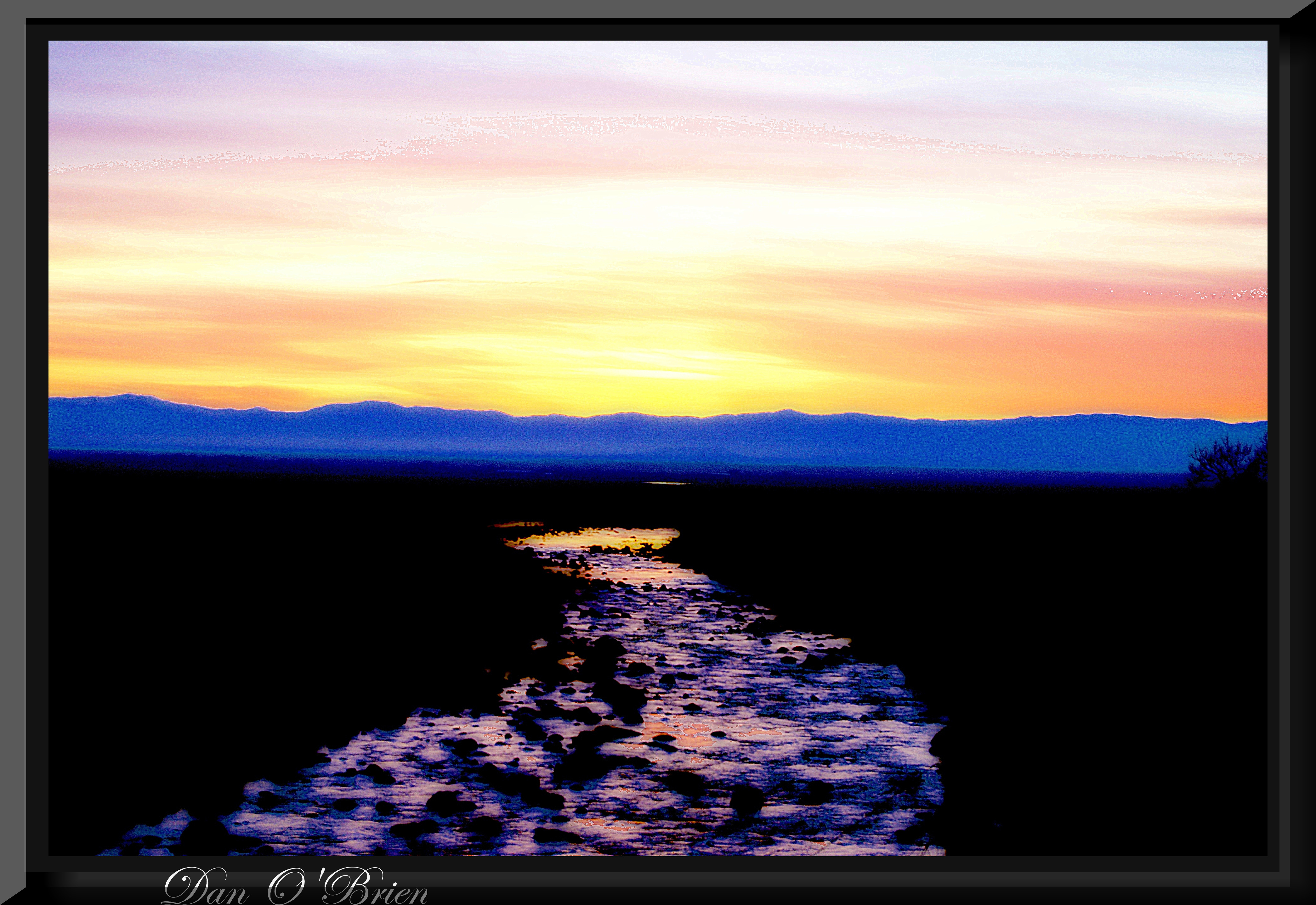
O'B27
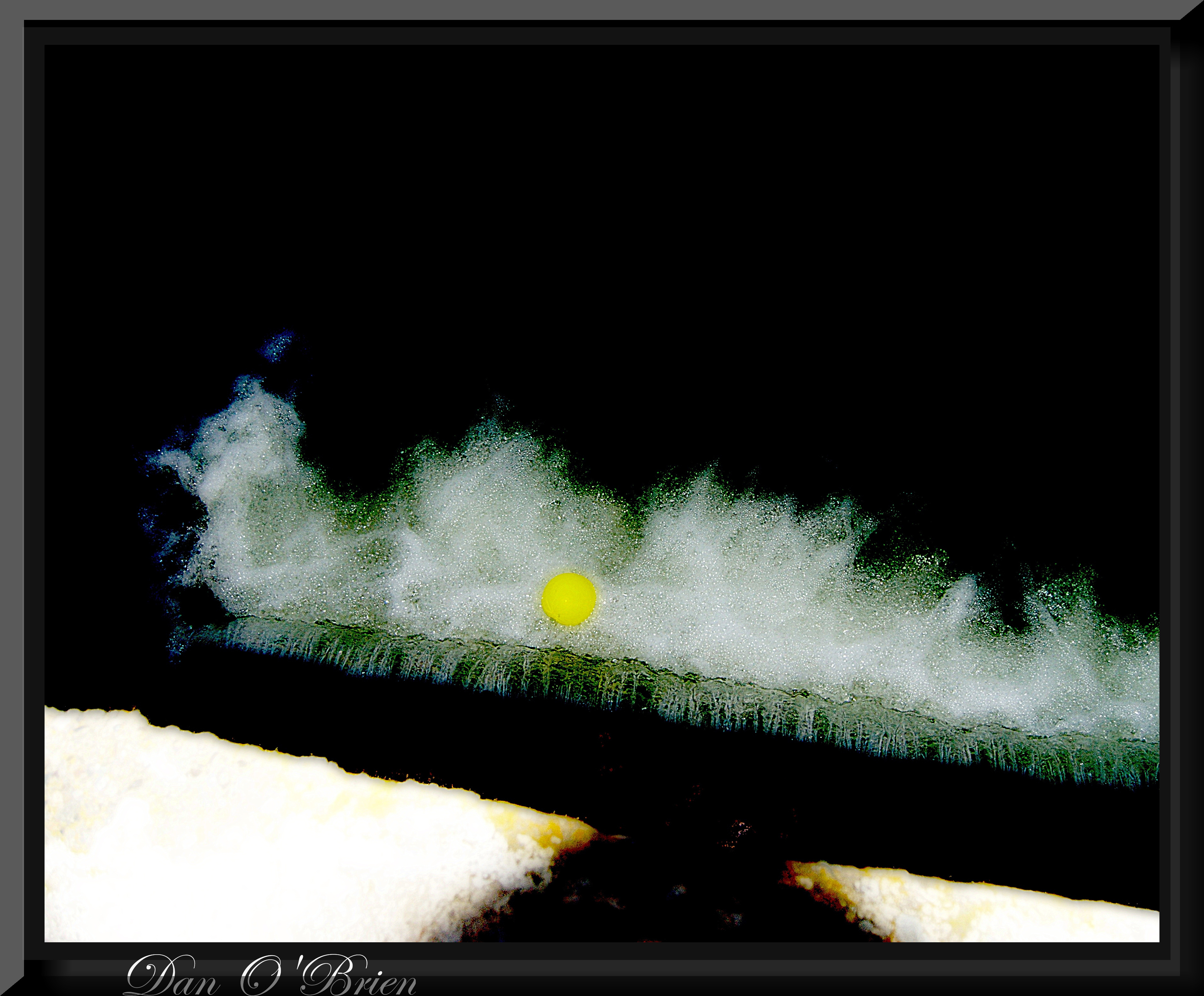
O'B28
O'B
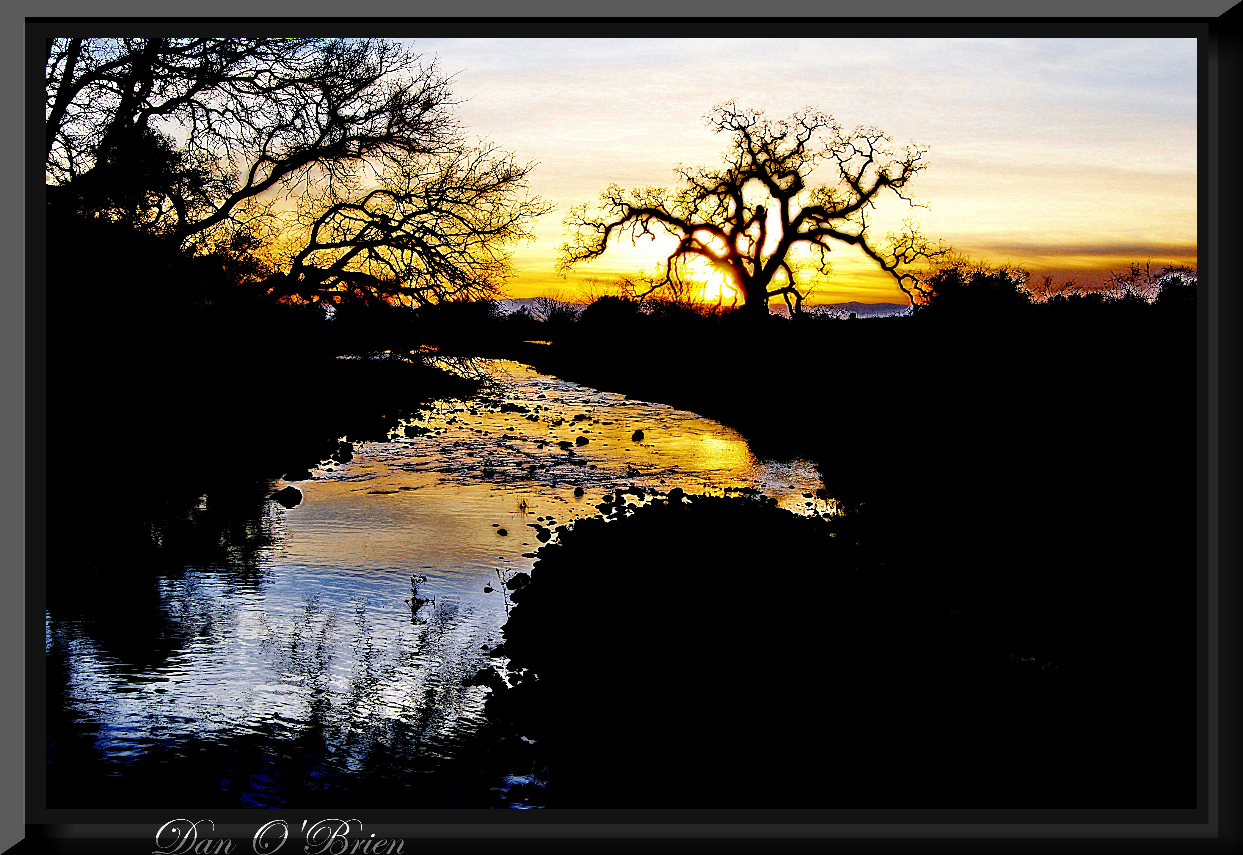
Gold and green
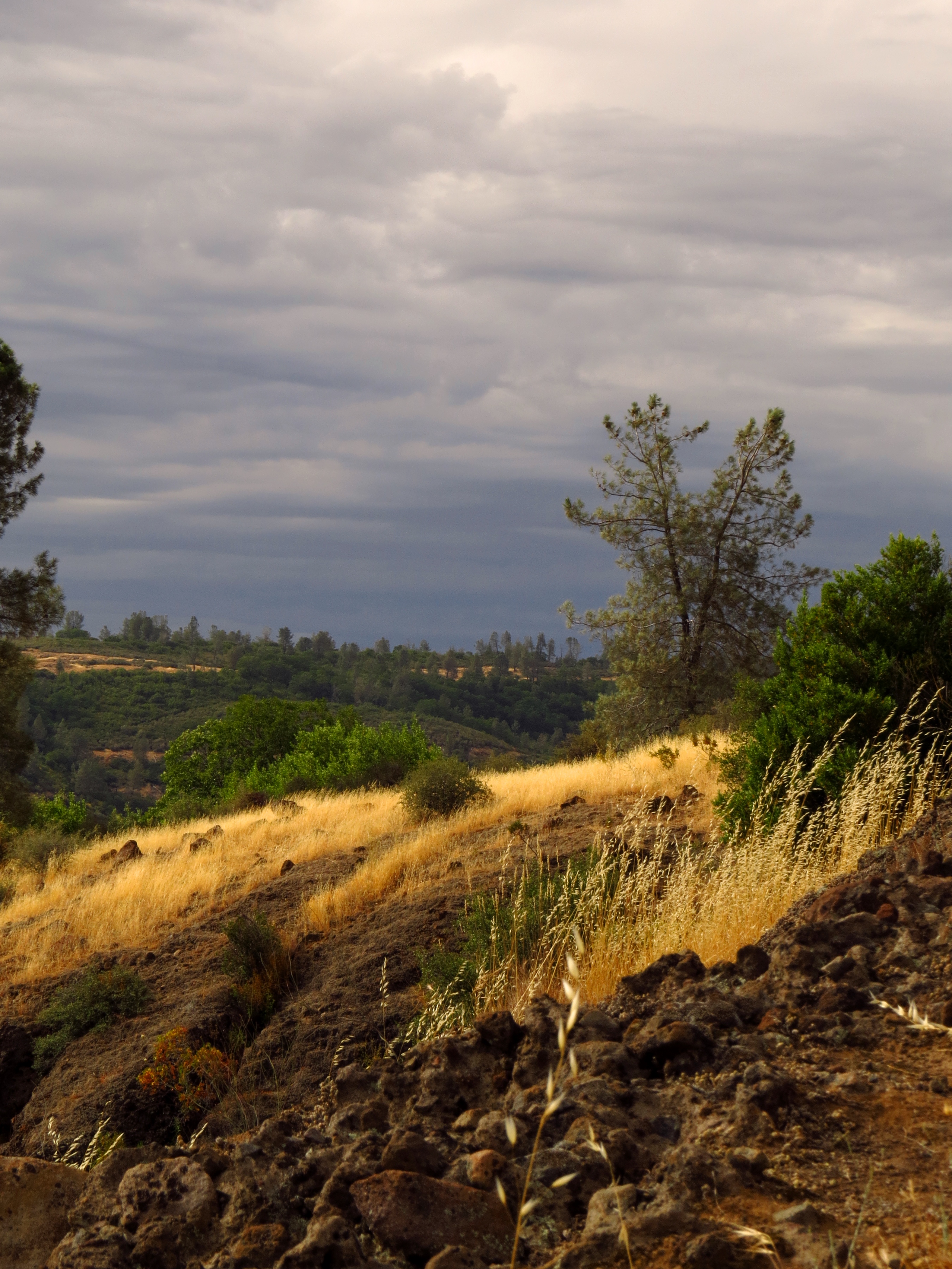
O'B25
O'B6
O'B

Her Spirit
Enjoying the view
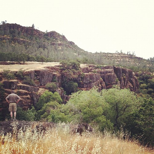
Canyon View
O'B (6)

The Last Stand
DSC_0785_HDR'ed
Bear Hole Area, Bidwell Park
Bidwell Park
Sooo blue
Clear Skies
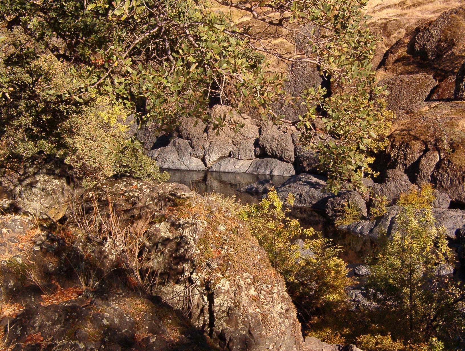
destination: swimmin' hole.

_8010160.NEF
photographers shadow 2fer
Chico Tree
Bidwell Park - Bear Hole
Near Honey Run Bridge

7 year itch...
At Diversion Dam, Bidwell Park
Big Chico Creek
Bear Hole Panoramic
Upper Bidwell Park Hike 2012
Swimming Hole
the lay of the land.

California Poppies
Topographic Map of Cohasset Rd, Cohasset, CA, USA
Find elevation by address:

Places near Cohasset Rd, Cohasset, CA, USA:
146 Whispering Pines Cir
9460 Cohasset Rd
Cohasset
110 Bull Creek Ln
123 Mud Creek Rd
46 North Point Rd
15283 Forest Ranch Way
Forest Ranch Way
Forest Ranch
4807 Schott Rd
Forest Ranch Rd, Forest Ranch, CA, USA
16298 Forest Ranch Rd
4864 Tippytoe Ln
5218 Pine Way
5218 Pine Way
Richardson Springs Rd, Chico, CA, USA
California 32
5677 Royal Driftway
Ceejay Rd, Chico, CA, USA
6237 Cohasset Rd
Recent Searches:
- Elevation of Corso Fratelli Cairoli, 35, Macerata MC, Italy
- Elevation of Tallevast Rd, Sarasota, FL, USA
- Elevation of 4th St E, Sonoma, CA, USA
- Elevation of Black Hollow Rd, Pennsdale, PA, USA
- Elevation of Oakland Ave, Williamsport, PA, USA
- Elevation of Pedrógão Grande, Portugal
- Elevation of Klee Dr, Martinsburg, WV, USA
- Elevation of Via Roma, Pieranica CR, Italy
- Elevation of Tavkvetili Mountain, Georgia
- Elevation of Hartfords Bluff Cir, Mt Pleasant, SC, USA