Elevation of Percy Rd, Stone Mills, ON K0K, Canada
Location: Canada > Ontario > Lennox And Addington County > Stone Mills >
Longitude: -76.817048
Latitude: 44.369097
Elevation: -10000m / -32808feet
Barometric Pressure: 295KPa
Elevation Map:
Satellite Map:
Related Photos:

NGC 7023 - The Iris Nebula

HMR2-09-35d
HMR2-09-35a

HMR2-09-35b
HMR2-09-35c
Leaf Me Alone

DSD_6786 View SW'ly along the Cataraqui Trail overpass over Harrowsmith Road

DSD_6793 View NE'ly along the Cataraqui Trail between Harrowsmith and Sydenham

Waterfall Tea Room

Infared view

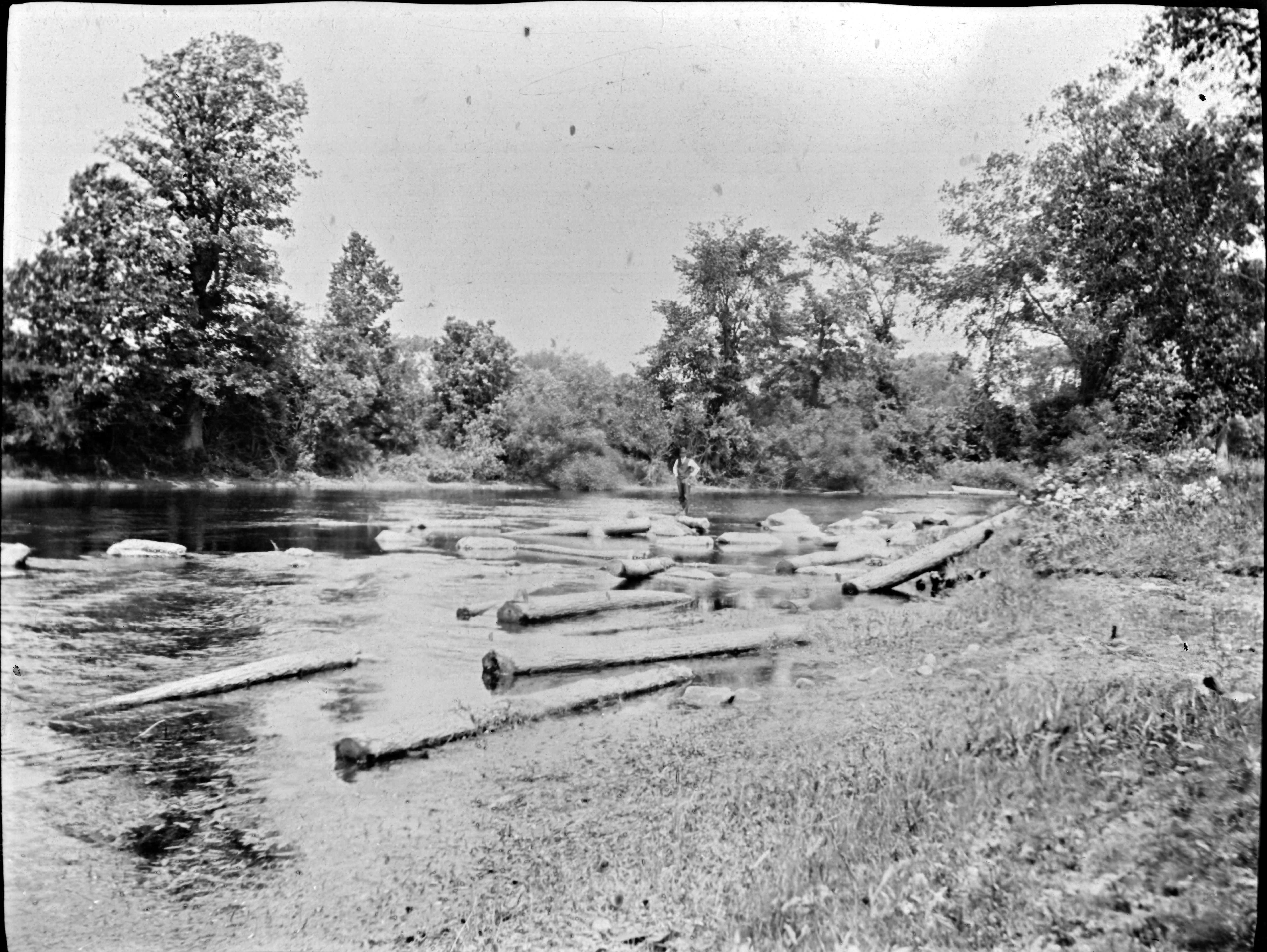
DSD_2859 Varty Creek

sky view
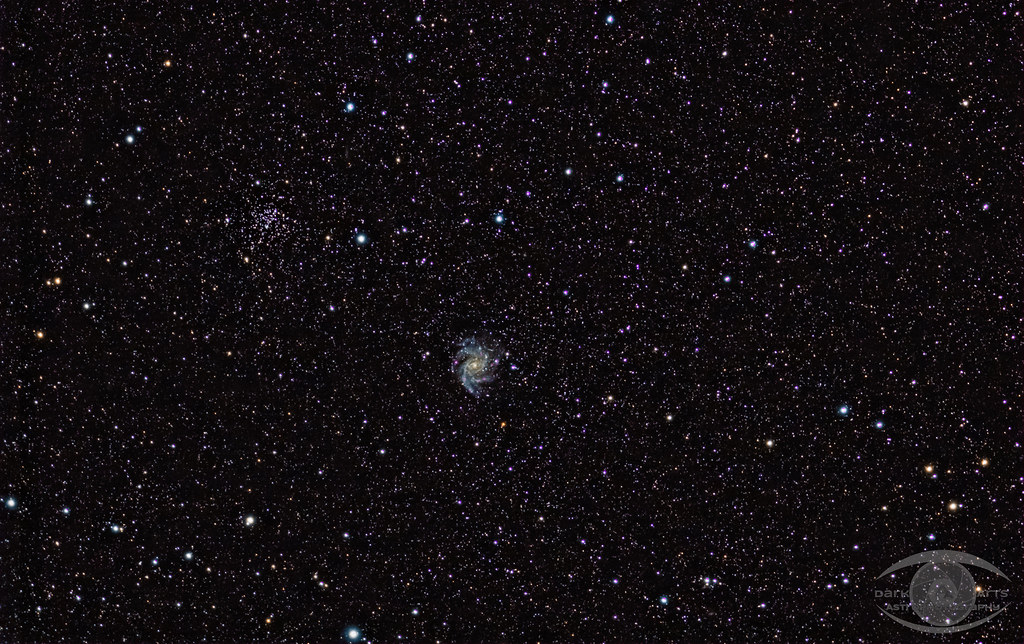
Fireworks Galaxy NGC 6946 and Open Cluster NGC 6939 Widefield

DSD_6784 Descending from Wilson Road West to the Cataraqui Trail

Babcock Mill Odessa, Ontario

Colebrook, Ontario

Blue Truck HTT

Yarker, Ontario

Yarker, Ontario
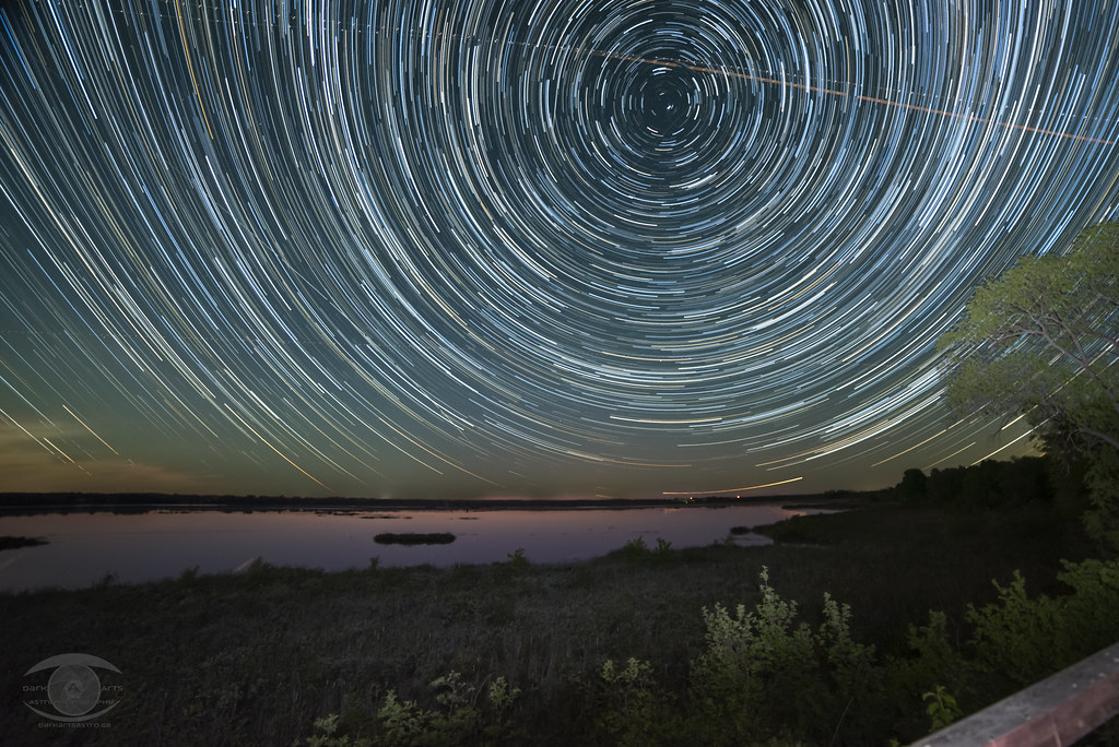
Star Trails over Camden Lake

Milky Way and Barn

Side Trail

Iceburg in the harbour.

Red Barn

old bike

The Woods

Gnarly Oak

Soy 1

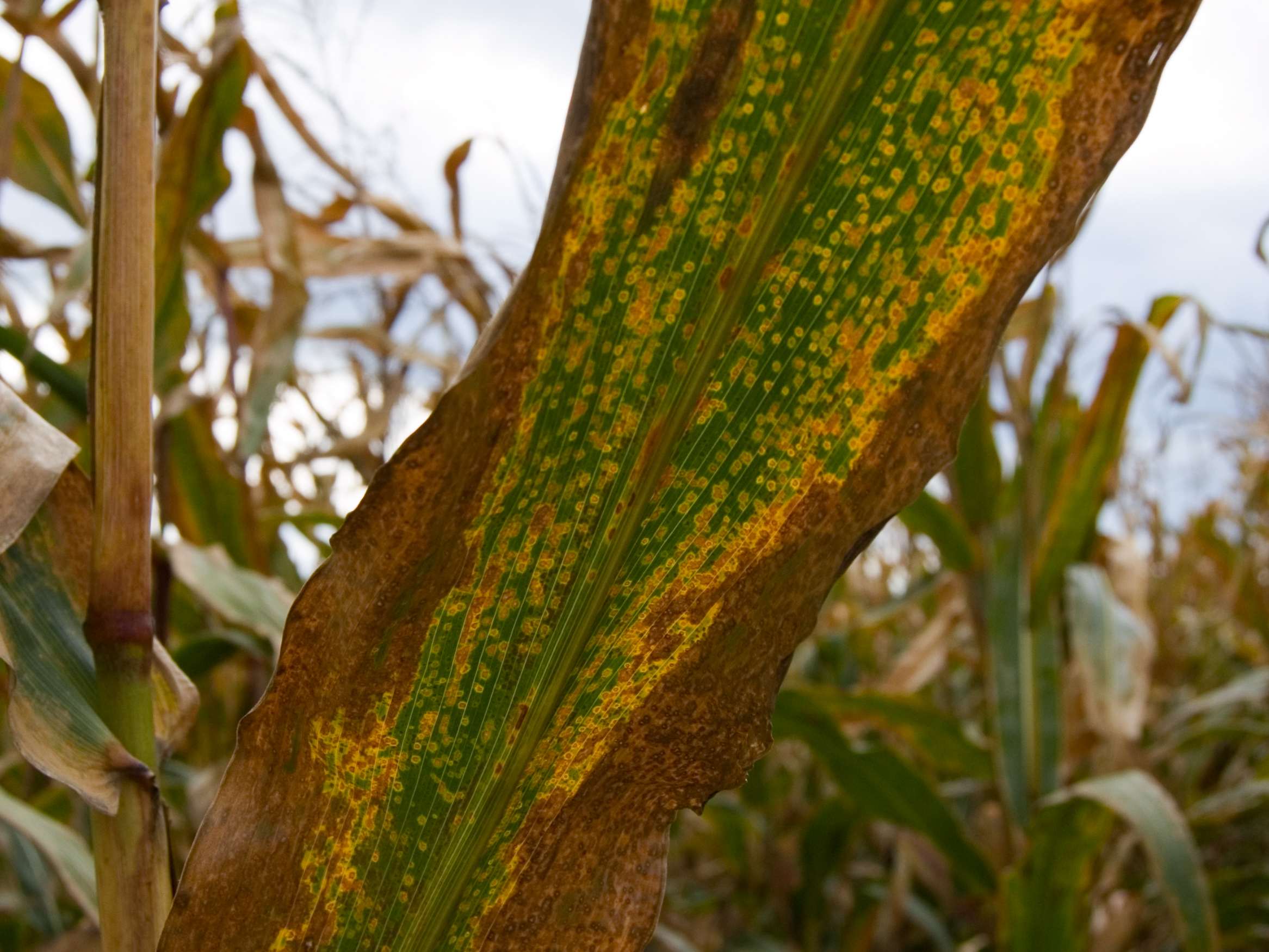
Sign of Season's Change
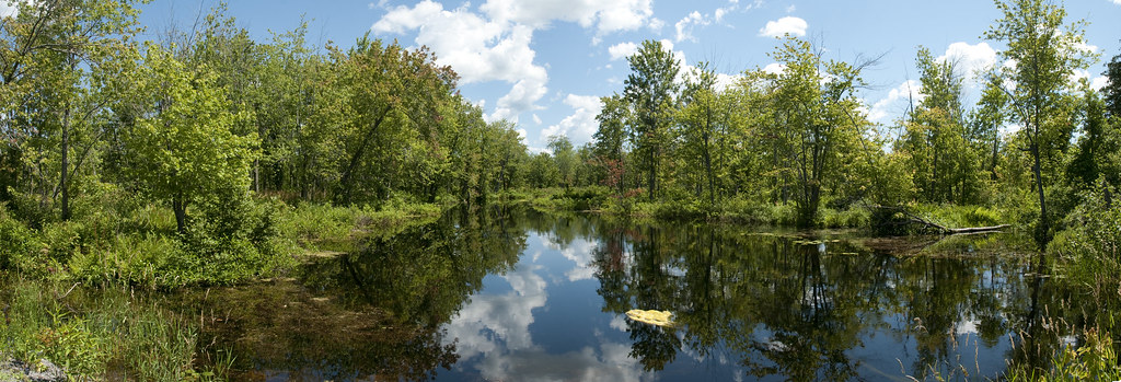
Napanee River

Mo Playing
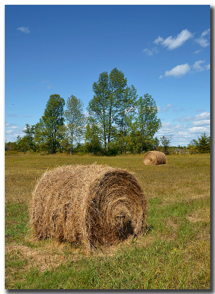
Hay Rolled up in Field

2018-010/11

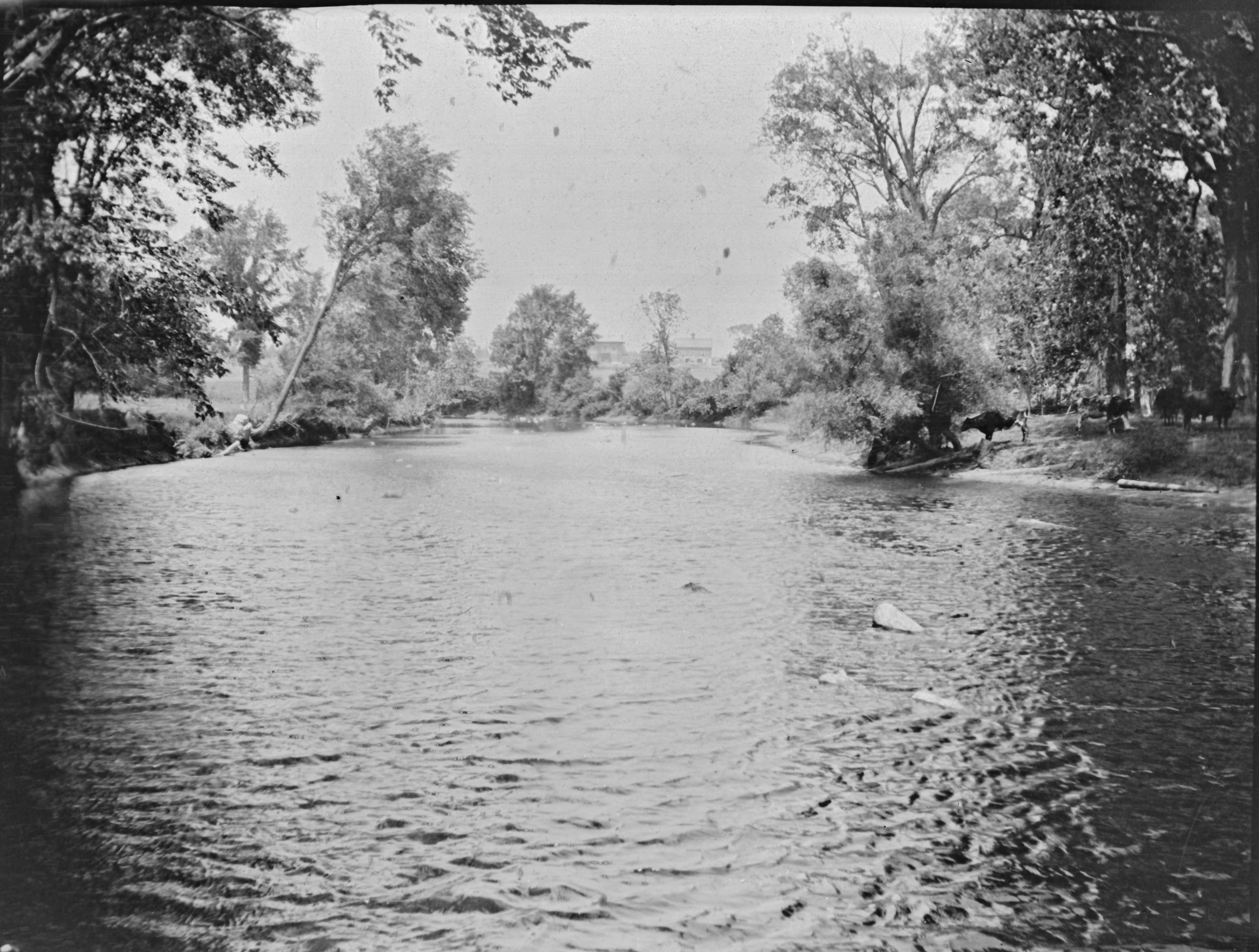
Napanee River

K & P Trail
Topographic Map of Percy Rd, Stone Mills, ON K0K, Canada
Find elevation by address:

Places near Percy Rd, Stone Mills, ON K0K, Canada:
1199 Bethel Rd
Yarker
Colebrook Rd, Yarker, ON K0K 3N0, Canada
206 Colebrook Rd
2176 6
Newburgh
Lennox And Addington County
1852 Centreville Rd
Mcconnell Road
3506 Mcconnell Rd
4857 County Rd 4
Enterprise
1529 Hinch Rd
Bellrock Rd, Verona, ON K0H 2W0, Canada
2, Loyalist, ON K7R 3K6, Canada
127 Saul St
Odessa
Loyalist
387 Marlin Rd
393 Perry Rd
Recent Searches:
- Elevation of Corso Fratelli Cairoli, 35, Macerata MC, Italy
- Elevation of Tallevast Rd, Sarasota, FL, USA
- Elevation of 4th St E, Sonoma, CA, USA
- Elevation of Black Hollow Rd, Pennsdale, PA, USA
- Elevation of Oakland Ave, Williamsport, PA, USA
- Elevation of Pedrógão Grande, Portugal
- Elevation of Klee Dr, Martinsburg, WV, USA
- Elevation of Via Roma, Pieranica CR, Italy
- Elevation of Tavkvetili Mountain, Georgia
- Elevation of Hartfords Bluff Cir, Mt Pleasant, SC, USA