Elevation of Marlin Rd, Enterprise, ON K0K 1Z0, Canada

Location: Canada > Ontario > Lennox And Addington County > Stone Mills > Enterprise >

Longitude: -76.945434

Latitude: 44.4278872

Elevation: 165m / 541feet

Barometric Pressure: 99KPa

Elevation Map:

elevation map of Marlin Rd, Enterprise, ON K0K 1Z0, Canada

Satellite Map:

Satellite map of Marlin Rd, Enterprise, ON K0K 1Z0, Canada

Related Photos:

astrophotography astronomy astrophotographyastronomy space sky stars star science milkyway night nature natur nebula nightsky ngc pelican northamerica ngc7000
North America and Pelican Nebula Region
astrophotography astronomy space sky stars star science nebula night nature natur nightsky ngc ngc7023 iris kingston kingstonist ygk zwo unspoiledla astrometrydotnet:id=nova3632819 astrometrydotnet:status=solved
NGC 7023 - The Iris Nebula
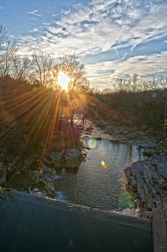
falls sunlight rays water salmonriver clouds easternontario
Southern View from top of the Barrier
astronomy astrophotography galaxy cluster ngc6939 ngc6946 fireworks fireworksgalaxy space stars sky star dso deep deepsky night nature natur astrometrydotnet:id=nova1670445 astrometrydotnet:status=solved
Fireworks Galaxy NGC 6946 and Open Cluster NGC 6939 Widefield
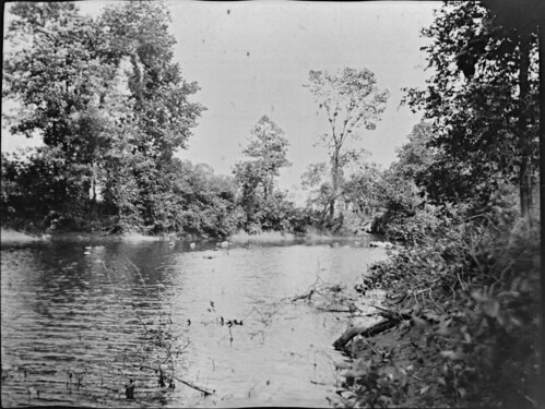
trees timber rivers 1900s
HMR2-09-35c
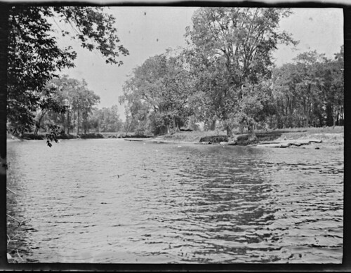
trees rivers 1900s
HMR2-09-35b
trees rivers 1900s
HMR2-09-35d
trees rivers 1900s
HMR2-09-35a
dandelion house infared manurespreader wagon
Infared view
ontario canada trails cataraqui yarker frontenaccounty
DSC_4696 Cataraqui Trail - Yarker
ontario canada trails cataraqui yarker frontenaccounty
DSC_4697 Cataraqui Trail - Yarker
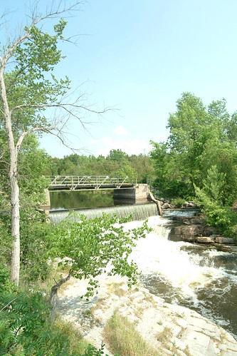
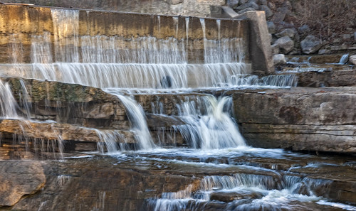
nature water view scenic falls
Forest Mills Falls
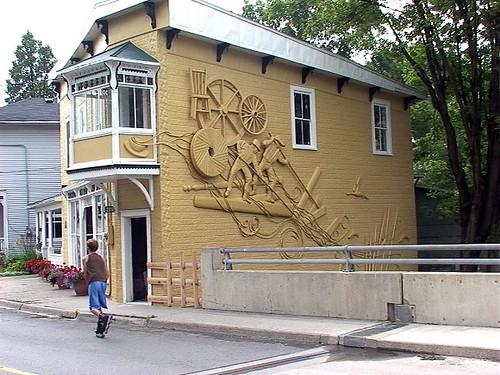
art work river town
Waterfall Tea Room
vartycreek
DSD_2859 Varty Creek
astrophotography astronomy aurora auroraborealis night nightscape northernlights kingston kingstonist ontario space stars sky nature natur
Aurora Borealis under a 90‰ full moon
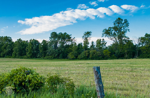
trees sky field clouds meadow
Sky & Meadow
landscape boats hdr beaverlake flickraward cans2s xdop 9tiffs
Beaver Lake Row Boat
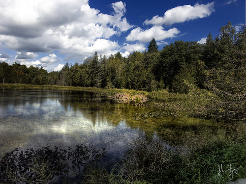
ontario canada pond beaver hdr beaverlodge 5xp cans2s xdop
Beaver Lodge
county water clouds landscape hwy41 lennoxaddington
Clare River
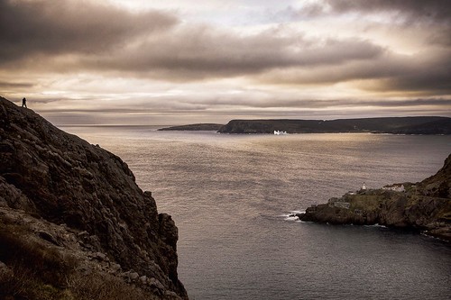
island rugged rock water cans2s morning cold dark wide discover travel newfoundland iceburg ocean atlantic can cdn canada
Iceburg in the harbour.
Farmyard Pals
astrophotography astronomy night nightscape nature natur nightsky space sky stars star science landscape lights lake longexposure kingston kingstonist ontario
Star Trails over Camden Lake
astrophotography astronomy space stars sky night nightscape aurora auroraborealis northernlights kingston ontario kingstonist
Aurora In the Moonlight
Morning fog over Napanee river...
astrophotography astronomy space stars sky star milkyway galaxy night nightscape landscape nature natur ygk kingston kingstonist ontario
Milky Way and Barn
water waterfall salmonriver ontario
Forest MIlls Falls
sunset sky ontario stars landscape nightscape space kingston
The Sky Over Camden Lake Just After Sunset
water trees clouds landscape river napanee panorama photomerge
Napanee River
ontario canada waterfall colebrook yarker
Colebrook, Ontario
sky nature natur landscape cloud clouds ygk kingston kingstonist ontario
The Unicorn's Horn
road winter ontario ice marsh bog bellrock
Long Swamp Road crossing Cameron Bog
winter sunlight ice water clouds river napaneeriver
Napanee River
space stars sky astrophotography astronomy star night nightscape nebula nature natur landscape kingston kingstonist ontario yellow orange
Laser to Infinity
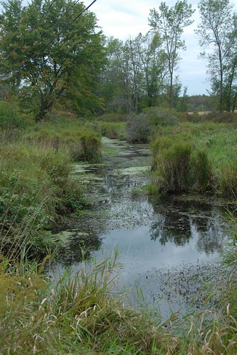
stream dandelion anniversery
The stream (and swamp)