Elevation of Centreville Rd, Centreville, ON K0K 1N0, Canada
Location: Canada > Ontario > Lennox And Addington County > Stone Mills >
Longitude: -76.914810
Latitude: 44.401786
Elevation: 150m / 492feet
Barometric Pressure: 100KPa
Elevation Map:
Satellite Map:
Related Photos:
Infared view
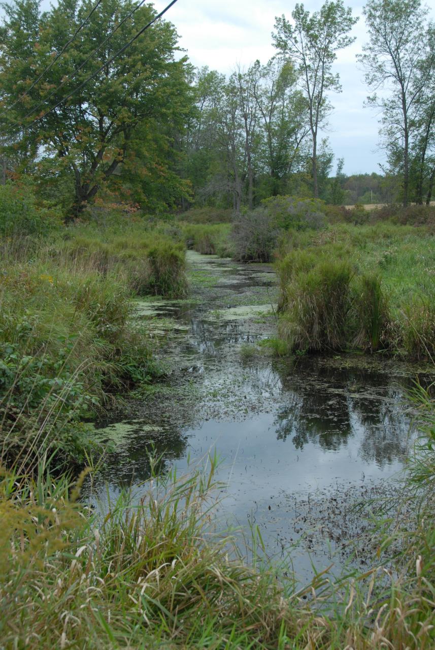
DSD_2859 Varty Creek
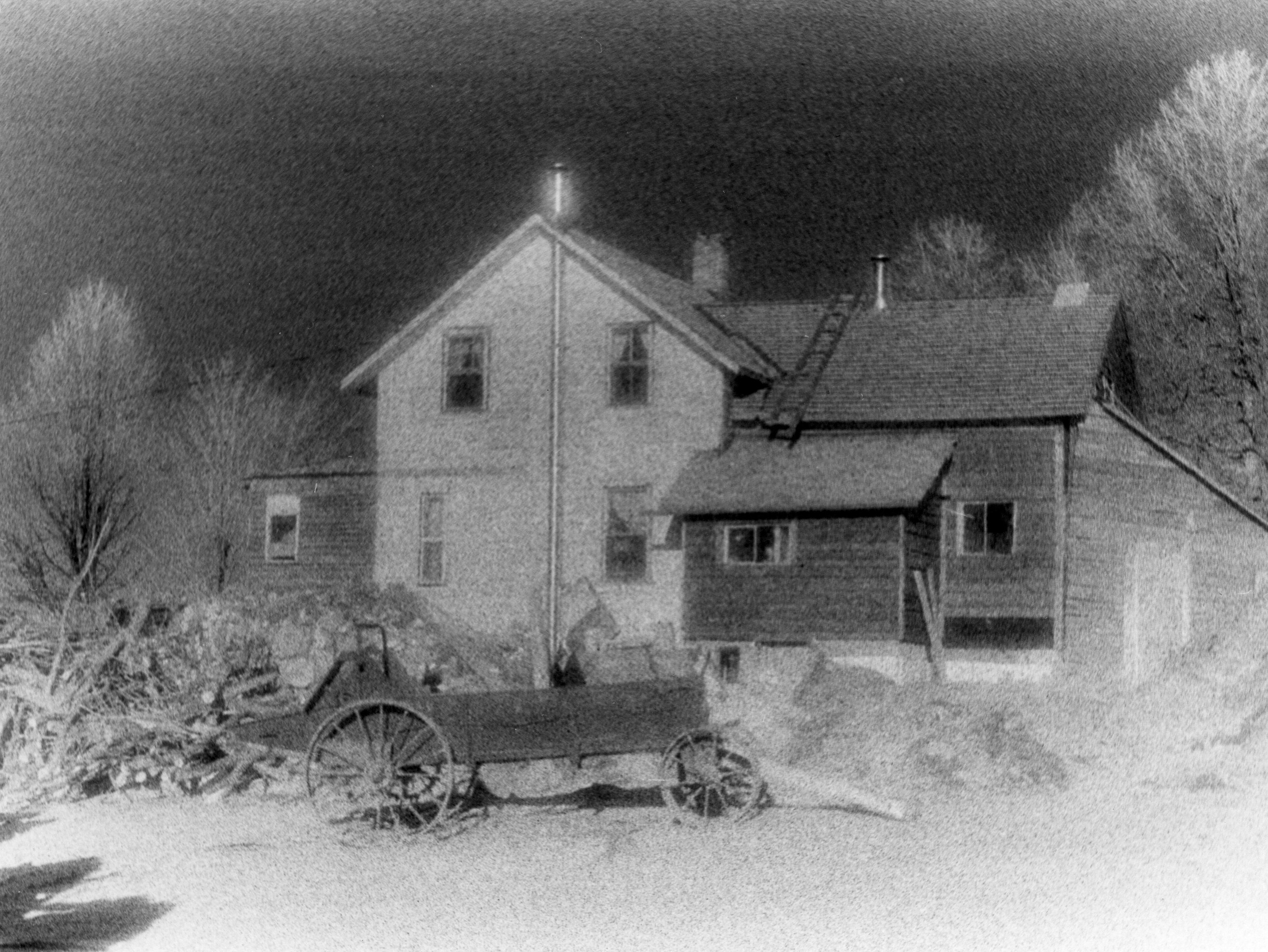
HMR2-09-35d
HMR2-09-35a
HMR2-09-35b
HMR2-09-35c

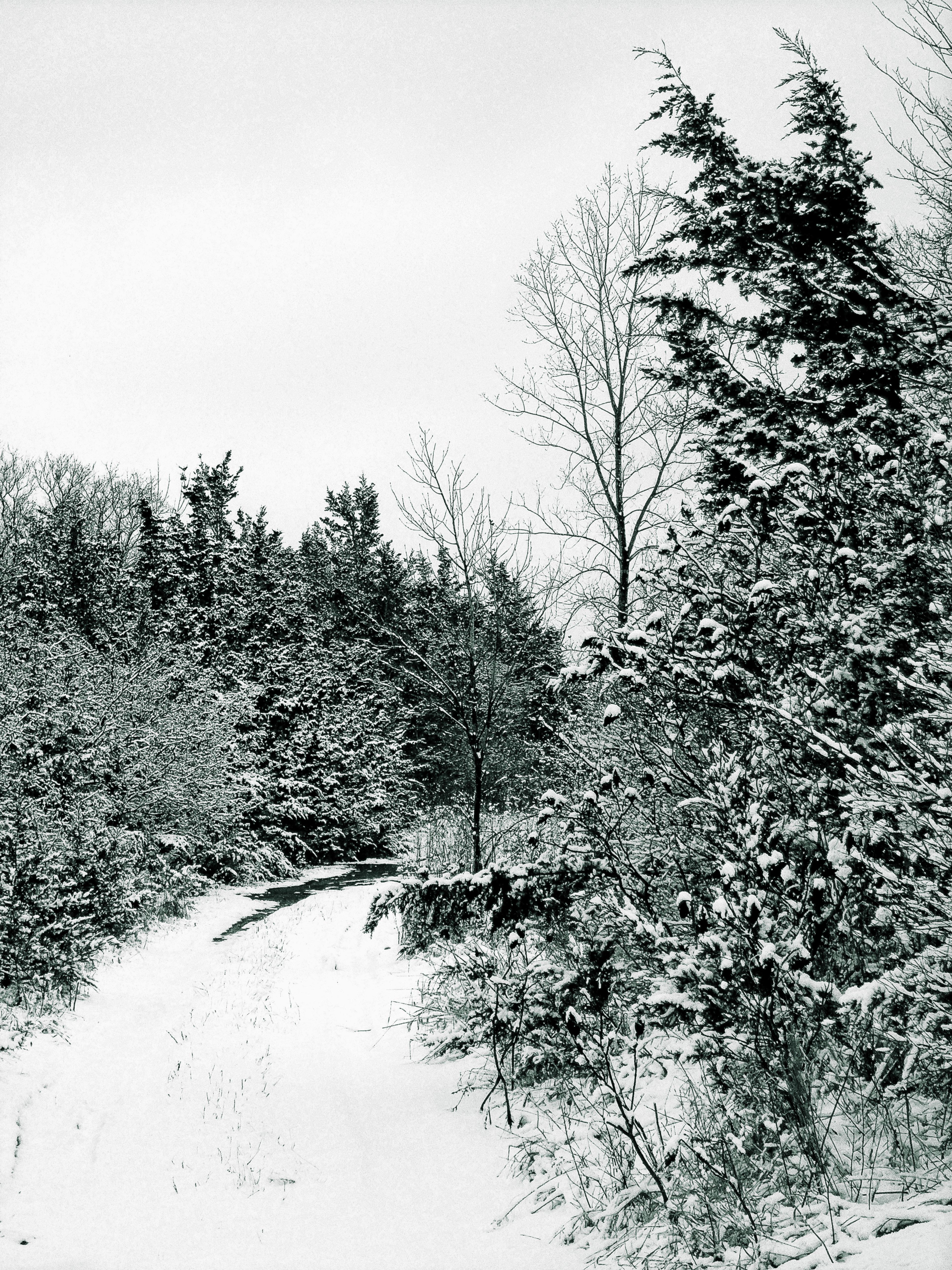
Leaf Me Alone
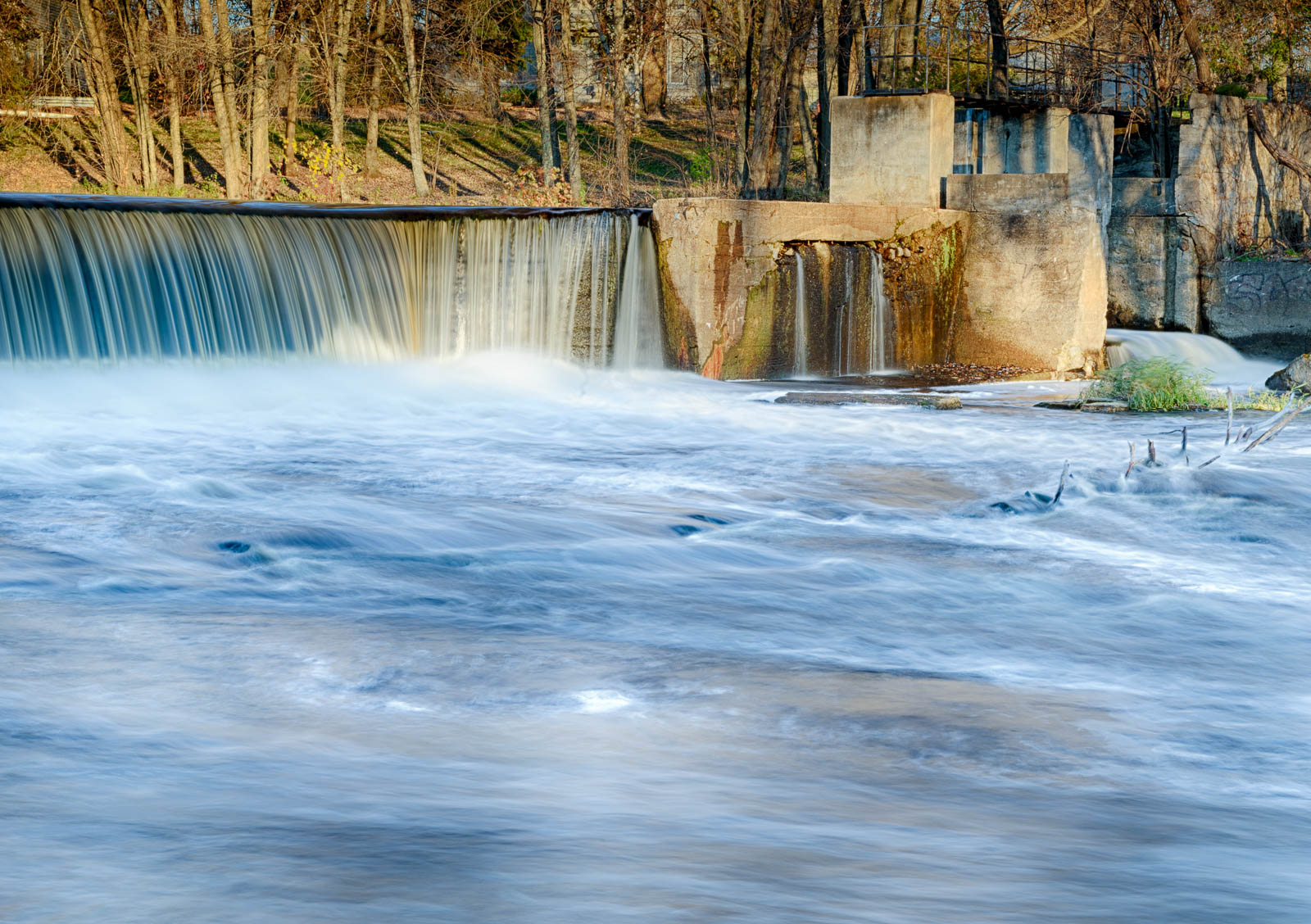
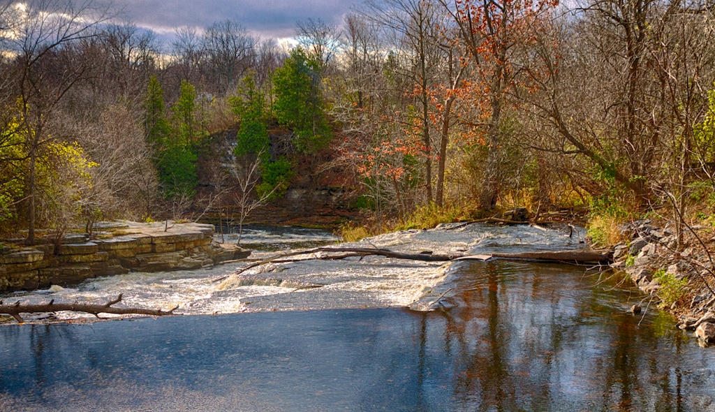
Forest Mills Falls
Waterfall Tea Room
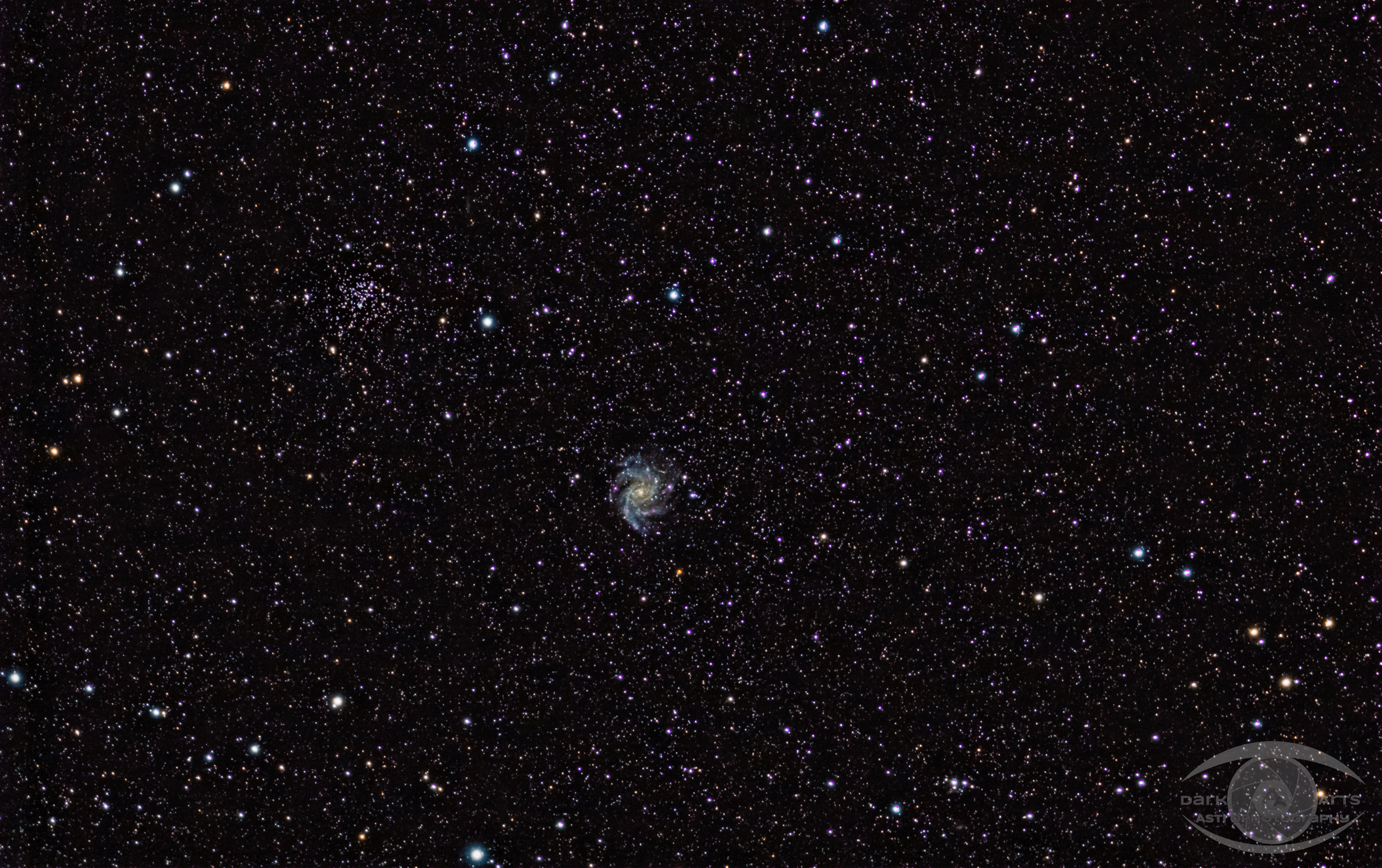
Fireworks Galaxy NGC 6946 and Open Cluster NGC 6939 Widefield
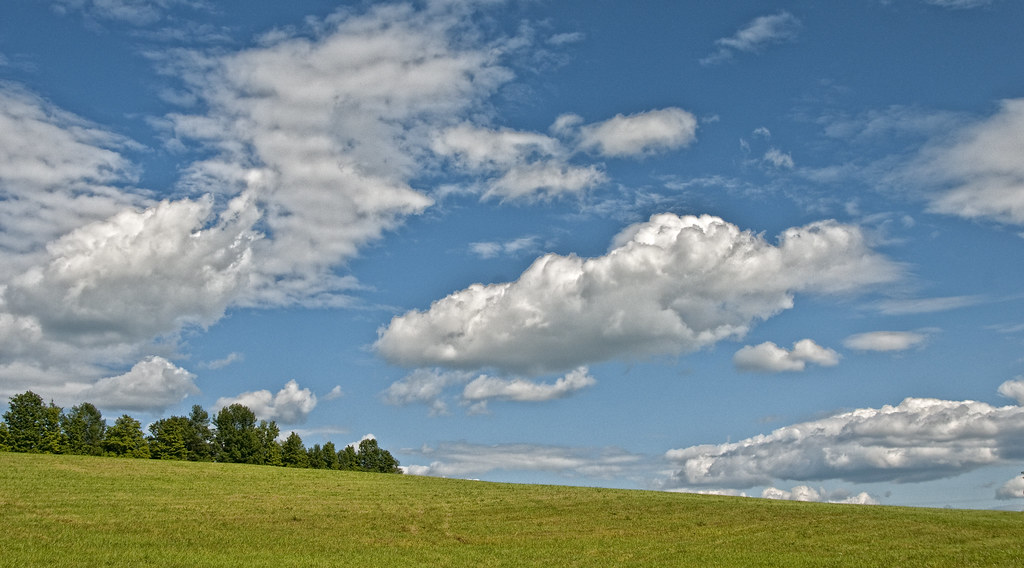
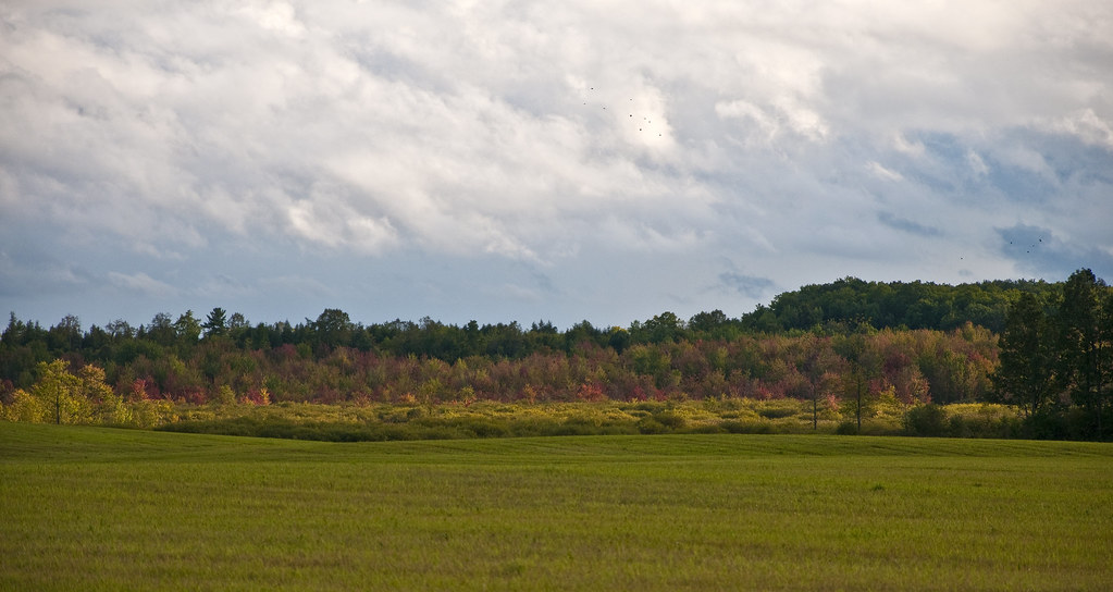
Sky & Meadow
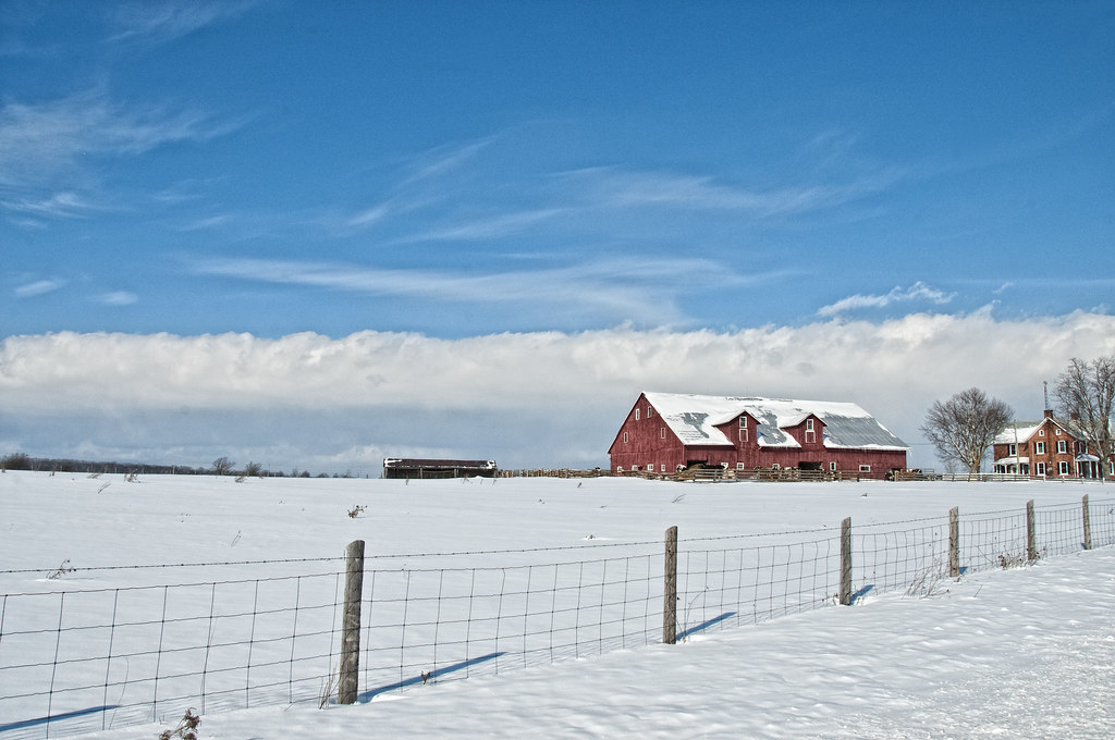
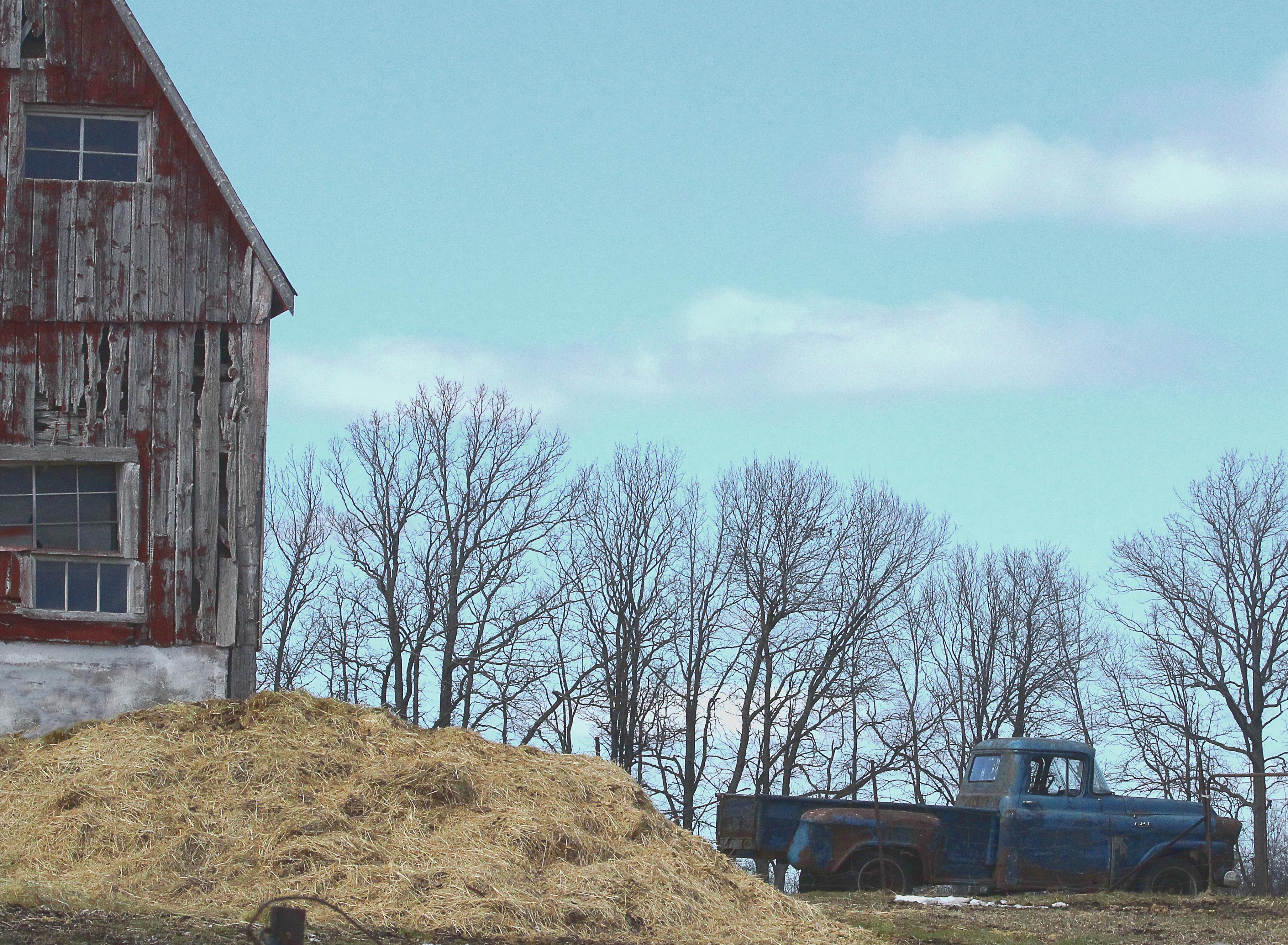
Red Barn
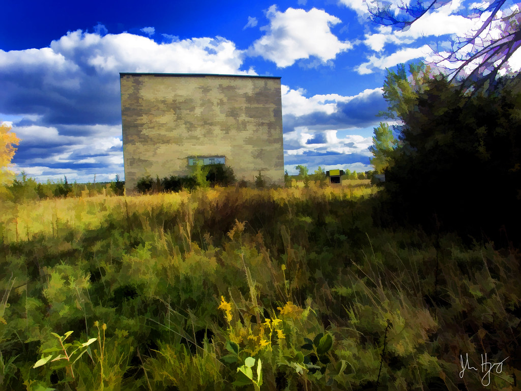
Drive-in Screen

Beaver Lake Row Boat
Side Trail
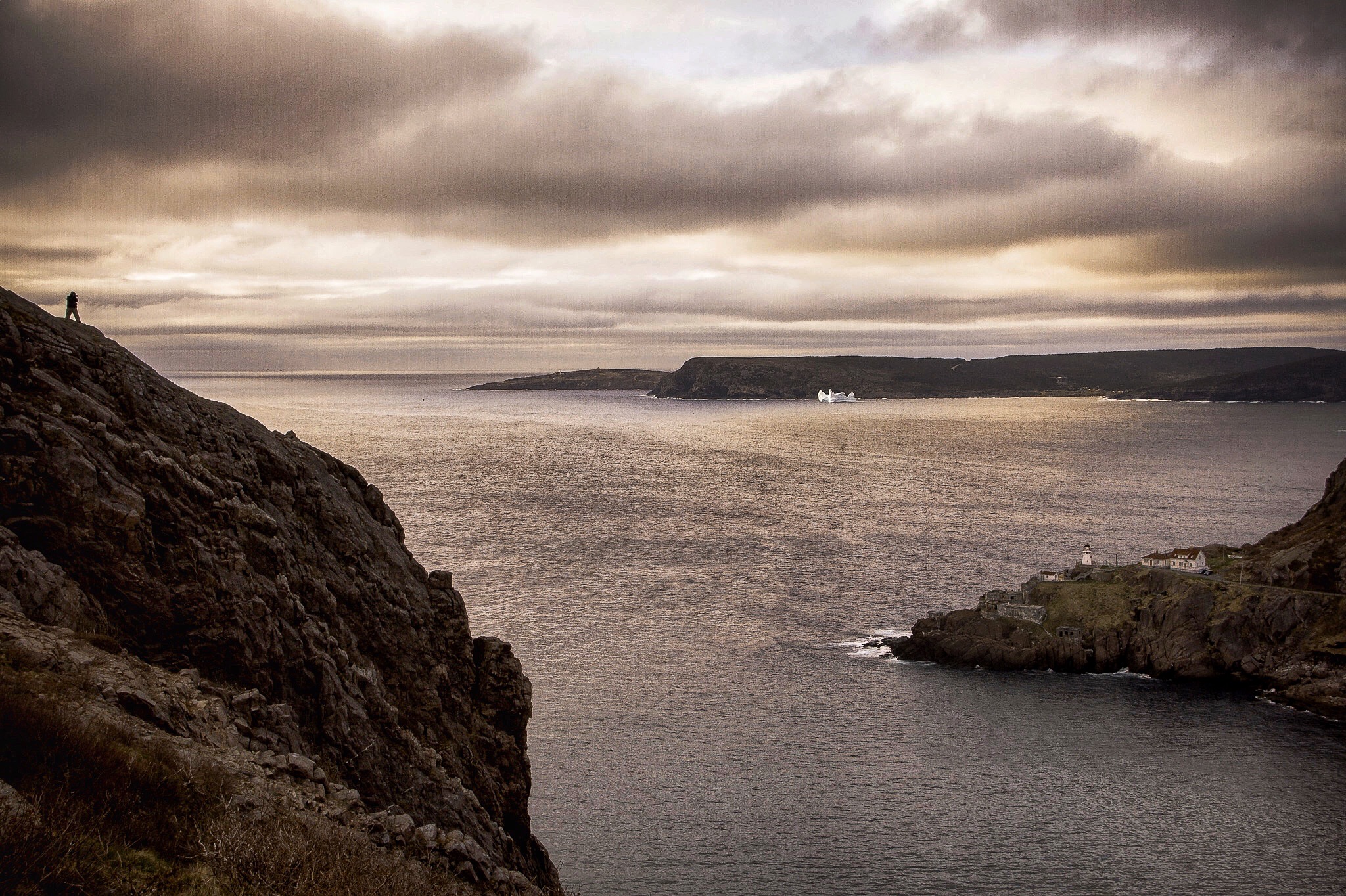
Iceburg in the harbour.
Colebrook, Ontario
Blue Truck HTT
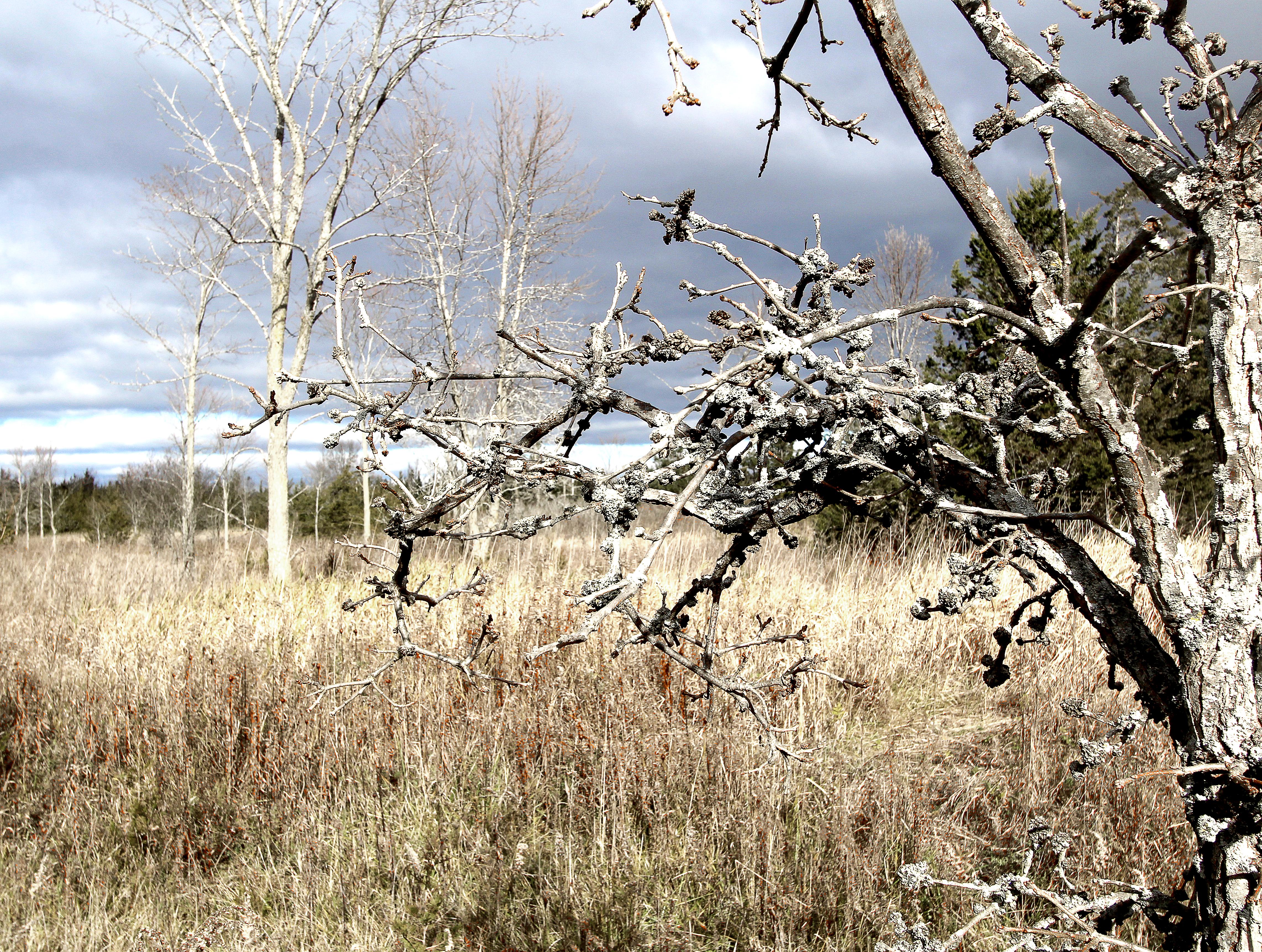
Gnarly Oak
Sign of Season's Change
The Sky Over Camden Lake Just After Sunset
Napanee River
Yarker, Ontario
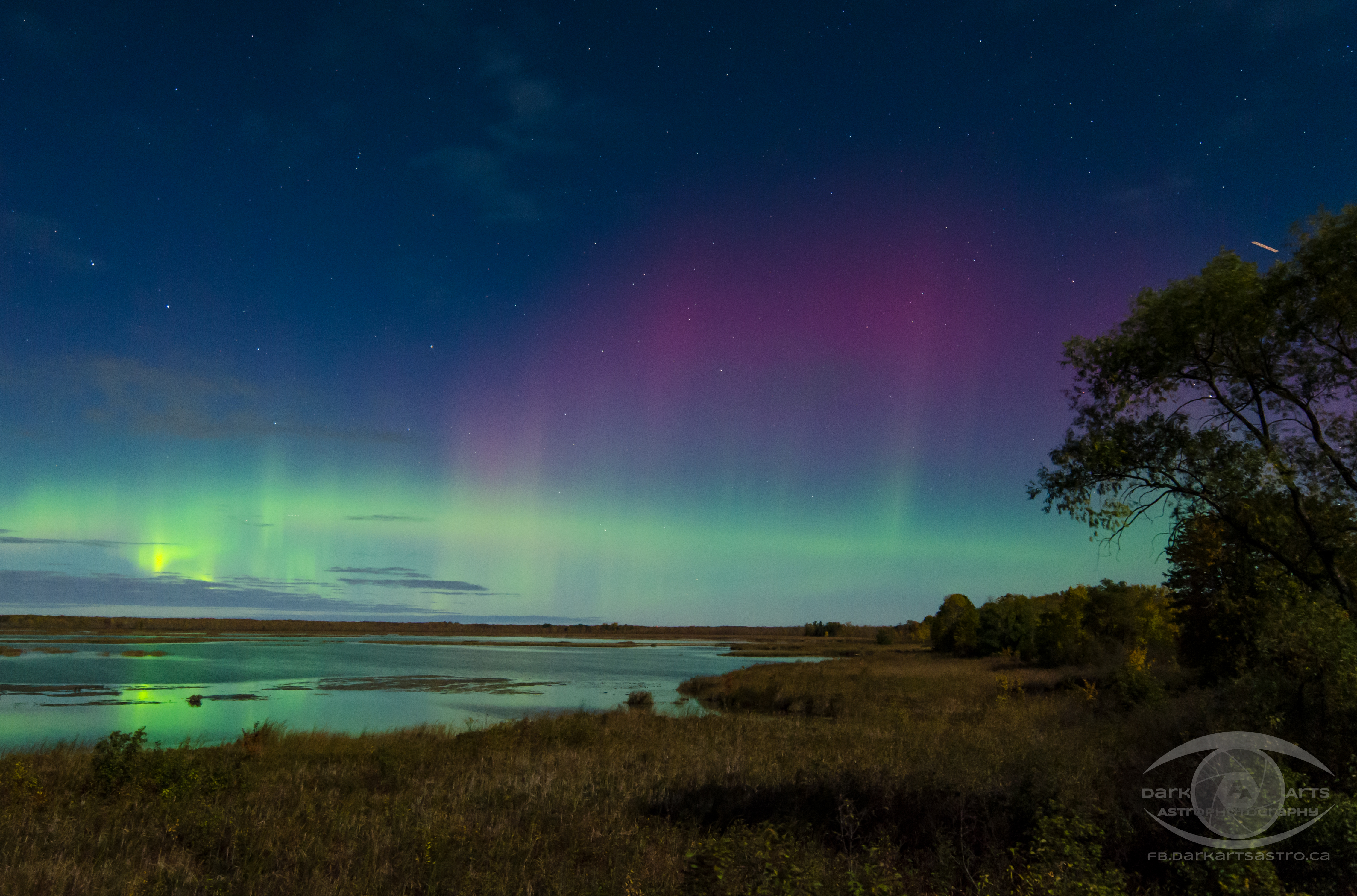
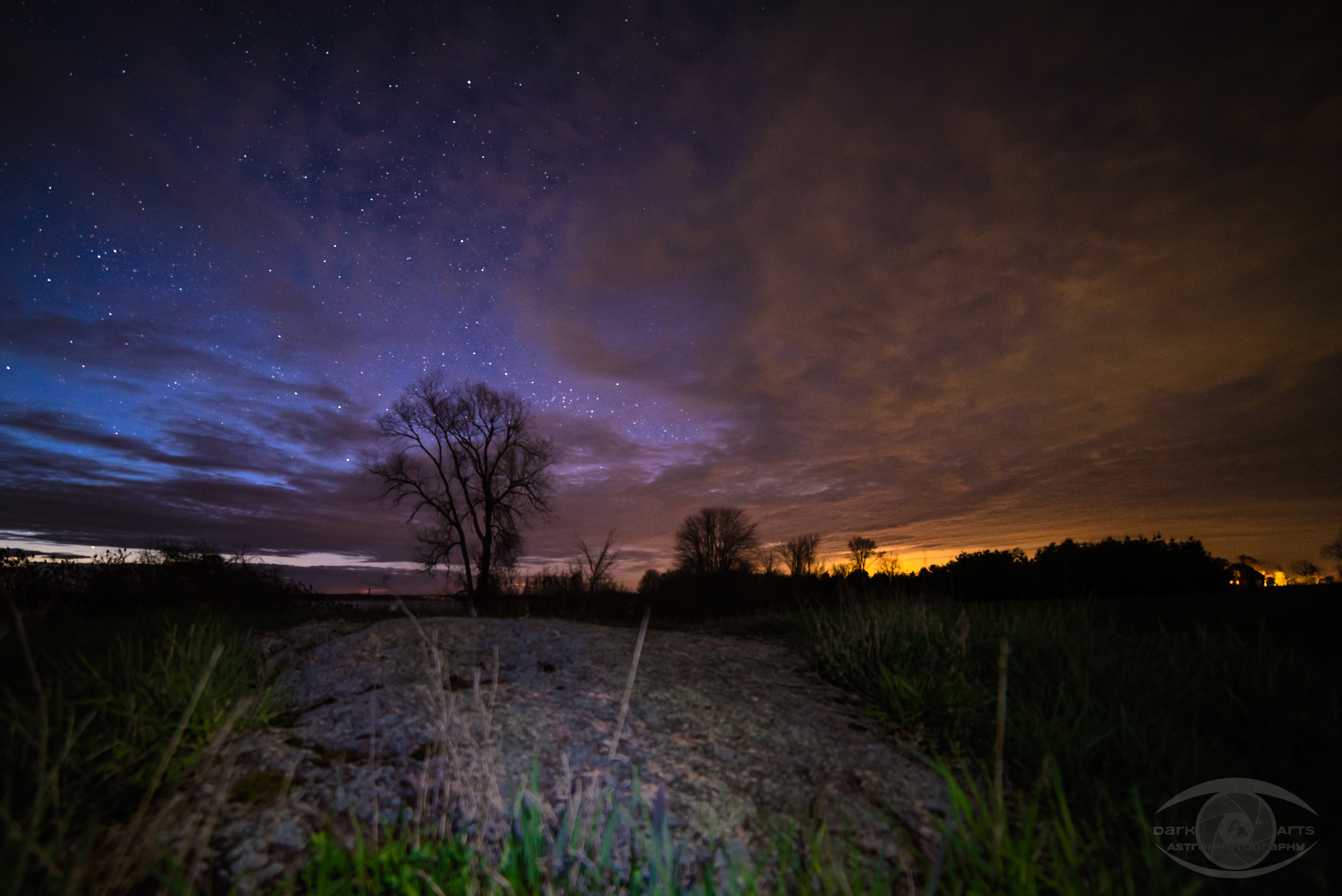
Aurora In the Moonlight
near Beaver Lake
Forest Mills Split Rail
2018-010/11

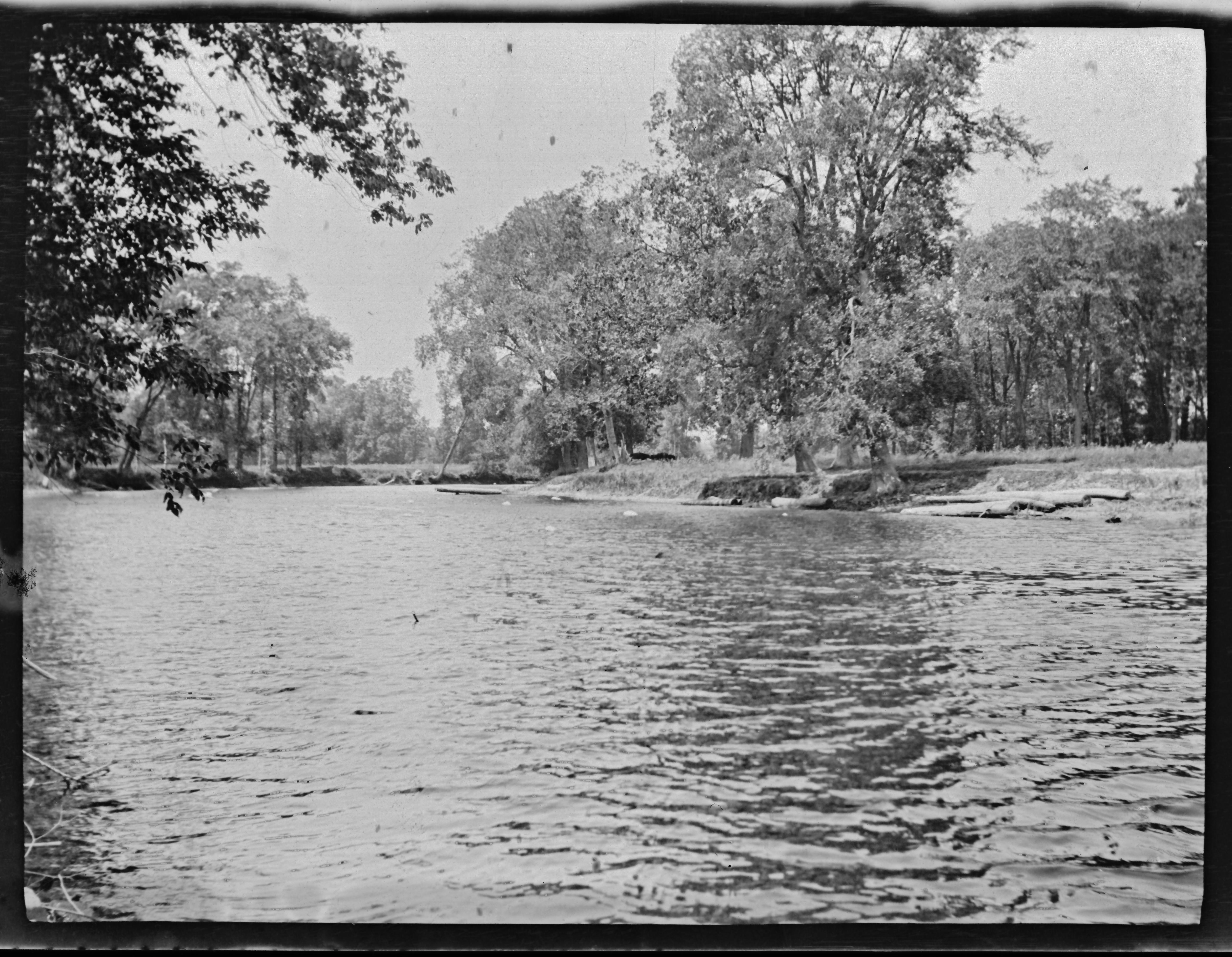
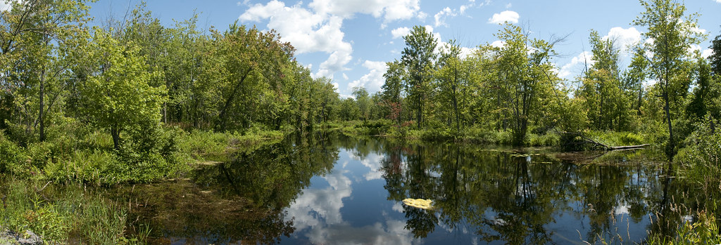
Napanee River
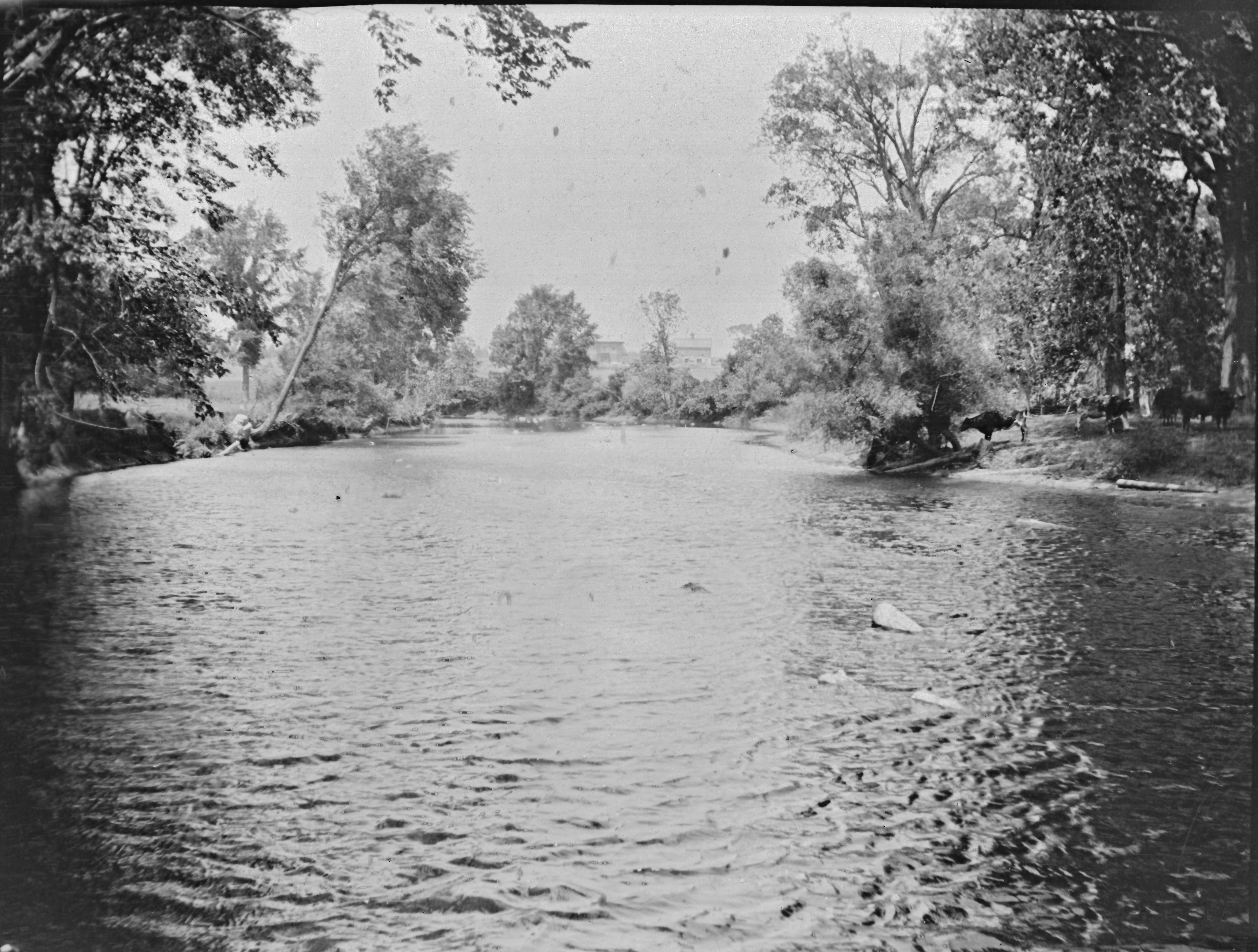
The Napanee River

Yarker Falls
Napanee Valley Farm
Topographic Map of Centreville Rd, Centreville, ON K0K 1N0, Canada
Find elevation by address:

Places near Centreville Rd, Centreville, ON K0K 1N0, Canada:
4857 County Rd 4
1529 Hinch Rd
387 Marlin Rd
Enterprise
Stone Mills
Newburgh
Lennox And Addington County
213 Percy Rd
1199 Bethel Rd
1047 California Rd
Colebrook Rd, Yarker, ON K0K 3N0, Canada
Yarker
206 Colebrook Rd
Market Square, Napanee, ON K7R 1J4, Canada
Napanee
Bellrock Rd, Verona, ON K0H 2W0, Canada
2176 6
393 Perry Rd
2, Loyalist, ON K7R 3K6, Canada
Greater Napanee
Recent Searches:
- Elevation of Corso Fratelli Cairoli, 35, Macerata MC, Italy
- Elevation of Tallevast Rd, Sarasota, FL, USA
- Elevation of 4th St E, Sonoma, CA, USA
- Elevation of Black Hollow Rd, Pennsdale, PA, USA
- Elevation of Oakland Ave, Williamsport, PA, USA
- Elevation of Pedrógão Grande, Portugal
- Elevation of Klee Dr, Martinsburg, WV, USA
- Elevation of Via Roma, Pieranica CR, Italy
- Elevation of Tavkvetili Mountain, Georgia
- Elevation of Hartfords Bluff Cir, Mt Pleasant, SC, USA