Elevation of Perry Rd, Napanee, ON K7R 3K6, Canada
Location: Canada > Ontario > Lennox And Addington County > Napanee >
Longitude: -76.864875
Latitude: 44.2295182
Elevation: 99m / 325feet
Barometric Pressure: 100KPa
Elevation Map:
Satellite Map:
Related Photos:

Swollen Napanee River

Oh Boy - Haven't Done This For A Long Time

Erwin 13/100

Window View

Alex 12/100

Eternal Sunflower

2015.13(15) 2

2011.25-33

Resistence - Comanche 42

Main Street, Deseronto, flooded

2010.31 (11)

DESCOM-13-03
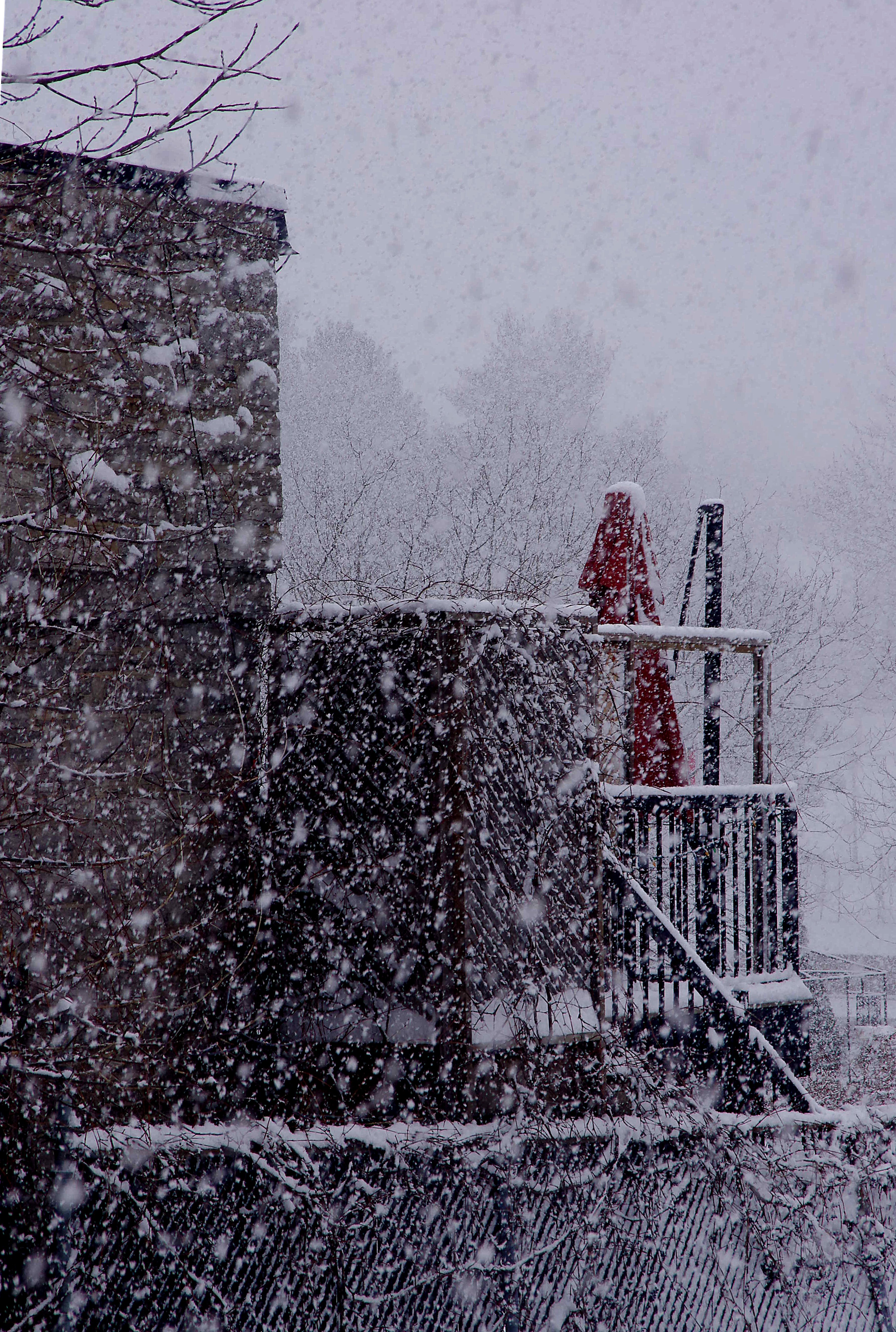
Balcony HFF

1998 05-17 0907 CN GP40-2LW-9450 E/B Napanee, ON

Chrome Rear View HTT

Tree Up, Tree Down

Window Reflection
River View HFF

Street View Window

Dundas St at John Street View East

V--

Field Edge

June Sunset

Low Level
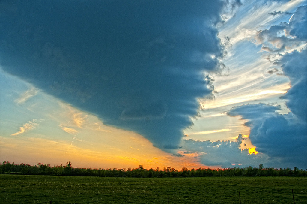
Clouded Sunset

Napanee River

My First Attempt at the Keith Shuley Method

Courtyard (Explored)

Glorious Summer Day

Farmland near Millhaven

My Tree

Iceburg in the harbour.

Morning Mist
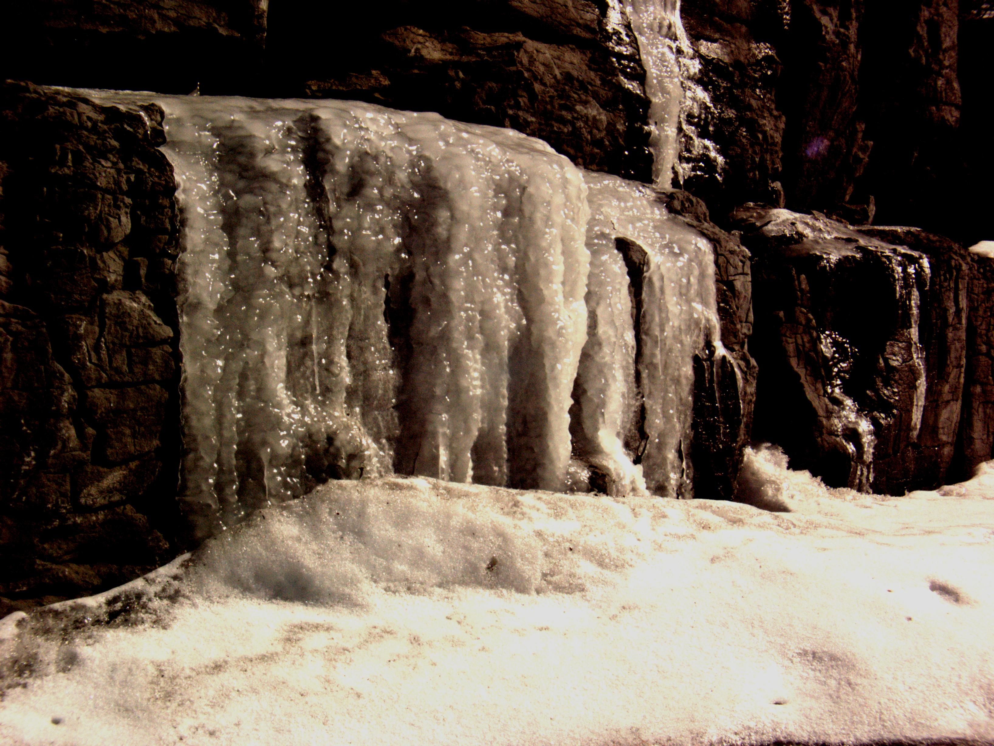
Ice Wall

Above the Dam

On My Walk

Dawn On The River

Hillside Moss

Morning Light

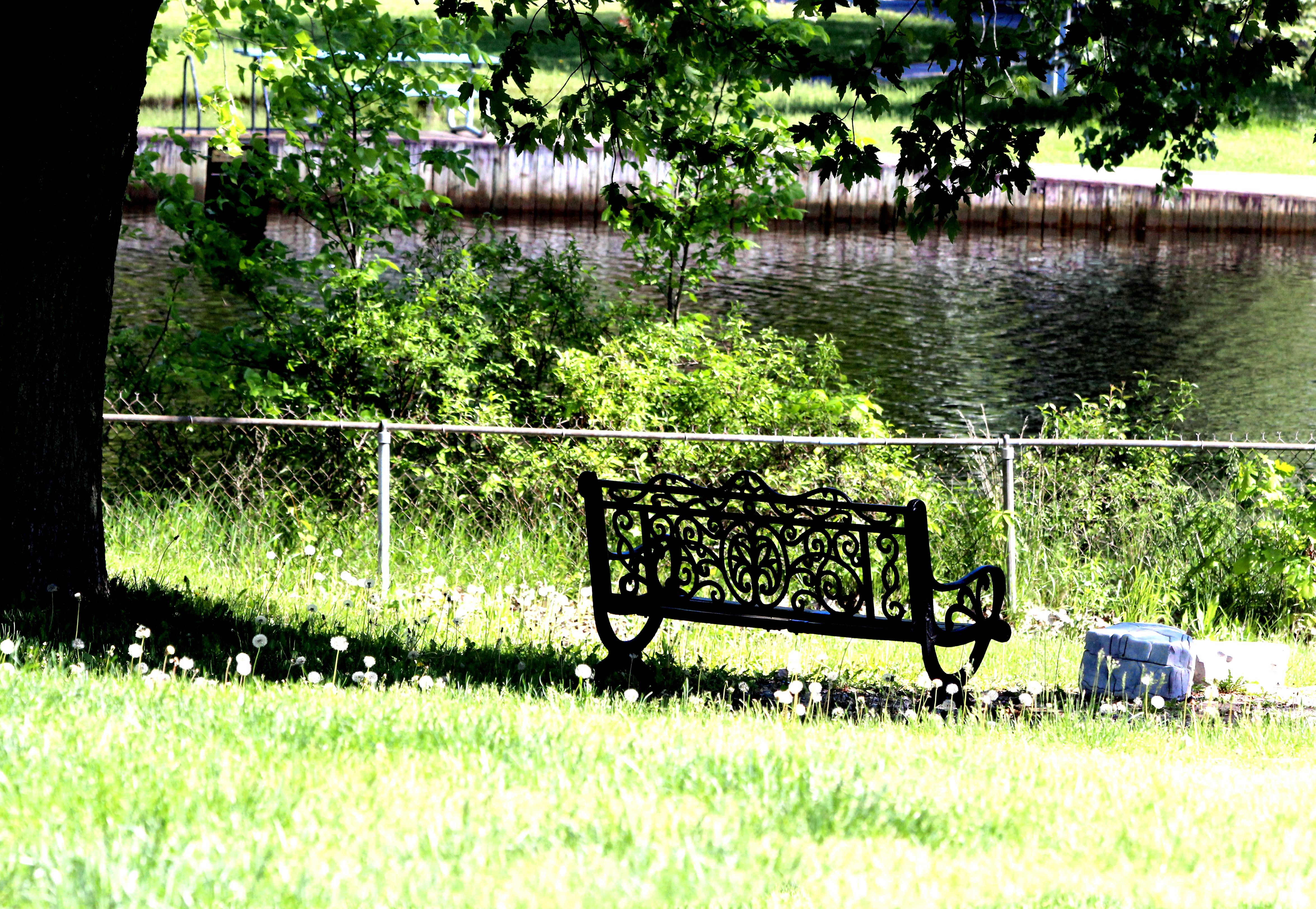
Fountain TT

Side Trail
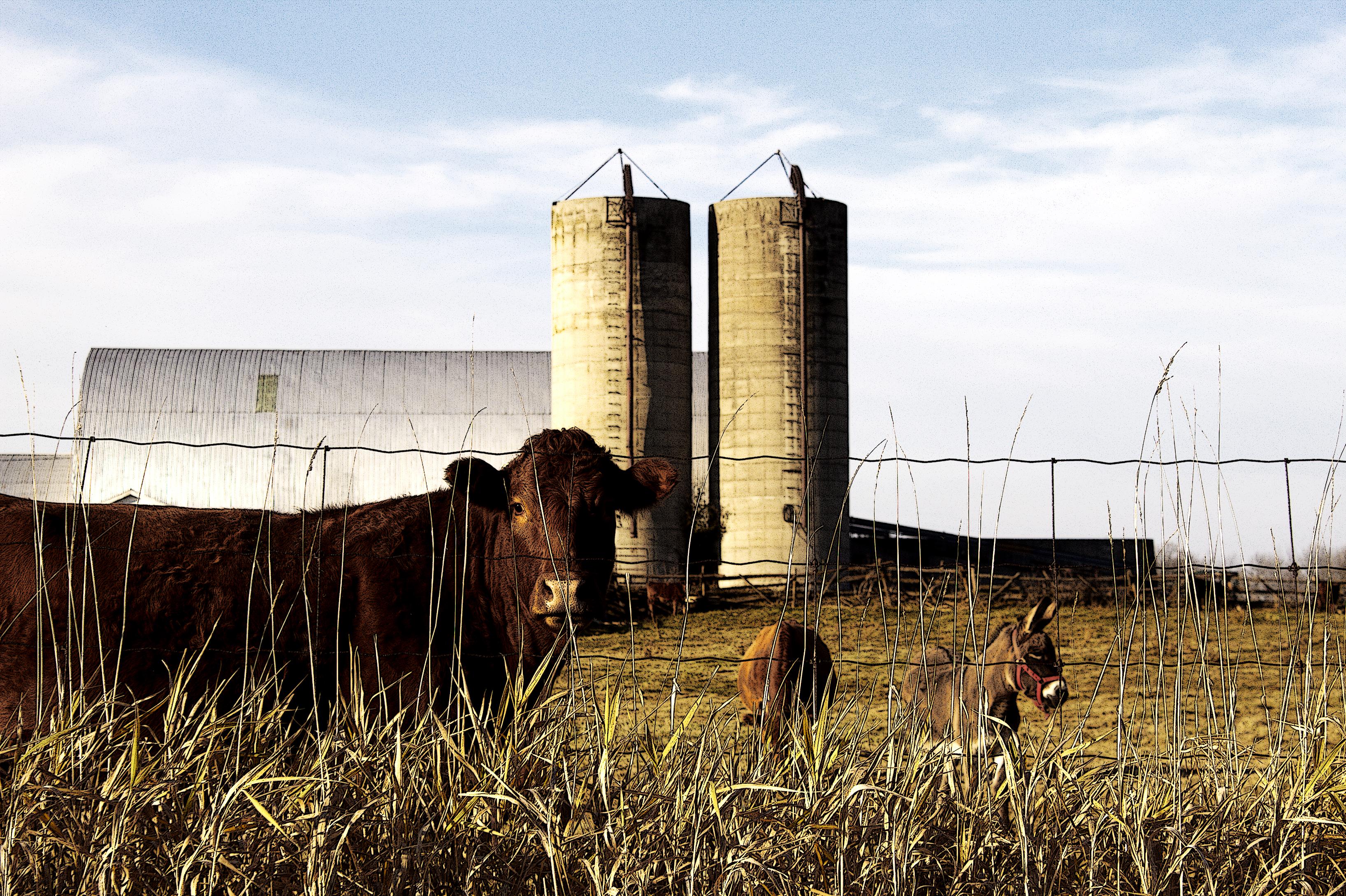
Farmyard Pals
Topographic Map of Perry Rd, Napanee, ON K7R 3K6, Canada
Find elevation by address:

Places near Perry Rd, Napanee, ON K7R 3K6, Canada:
1624 Galt St
2, Loyalist, ON K7R 3K6, Canada
Napanee Generating Station
Market Square, Napanee, ON K7R 1J4, Canada
7143 Loyalist Pkwy
259-267
7 Empire Ct
Napanee
6 Hawley Ct
Ontario 33
570 Main Street Bath
Finkle's Shore Park
Greater Napanee
329 Main Street Bath
Bath
Bayshore Drive
Doyle Rd, Bath, ON K0H 1G0, Canada
Lennox and Addington County Rd 9, Napanee, ON K7R 3K8, Canada
Loyalist
127 Saul St
Recent Searches:
- Elevation of Corso Fratelli Cairoli, 35, Macerata MC, Italy
- Elevation of Tallevast Rd, Sarasota, FL, USA
- Elevation of 4th St E, Sonoma, CA, USA
- Elevation of Black Hollow Rd, Pennsdale, PA, USA
- Elevation of Oakland Ave, Williamsport, PA, USA
- Elevation of Pedrógão Grande, Portugal
- Elevation of Klee Dr, Martinsburg, WV, USA
- Elevation of Via Roma, Pieranica CR, Italy
- Elevation of Tavkvetili Mountain, Georgia
- Elevation of Hartfords Bluff Cir, Mt Pleasant, SC, USA