Elevation of Ontario 33, ON-33, Bath, ON, Canada
Location: Canada > Ontario > Lennox And Addington County > Loyalist > Bath >
Longitude: -76.788565
Latitude: 44.1734922
Elevation: 77m / 253feet
Barometric Pressure: 100KPa
Elevation Map:
Satellite Map:
Related Photos:
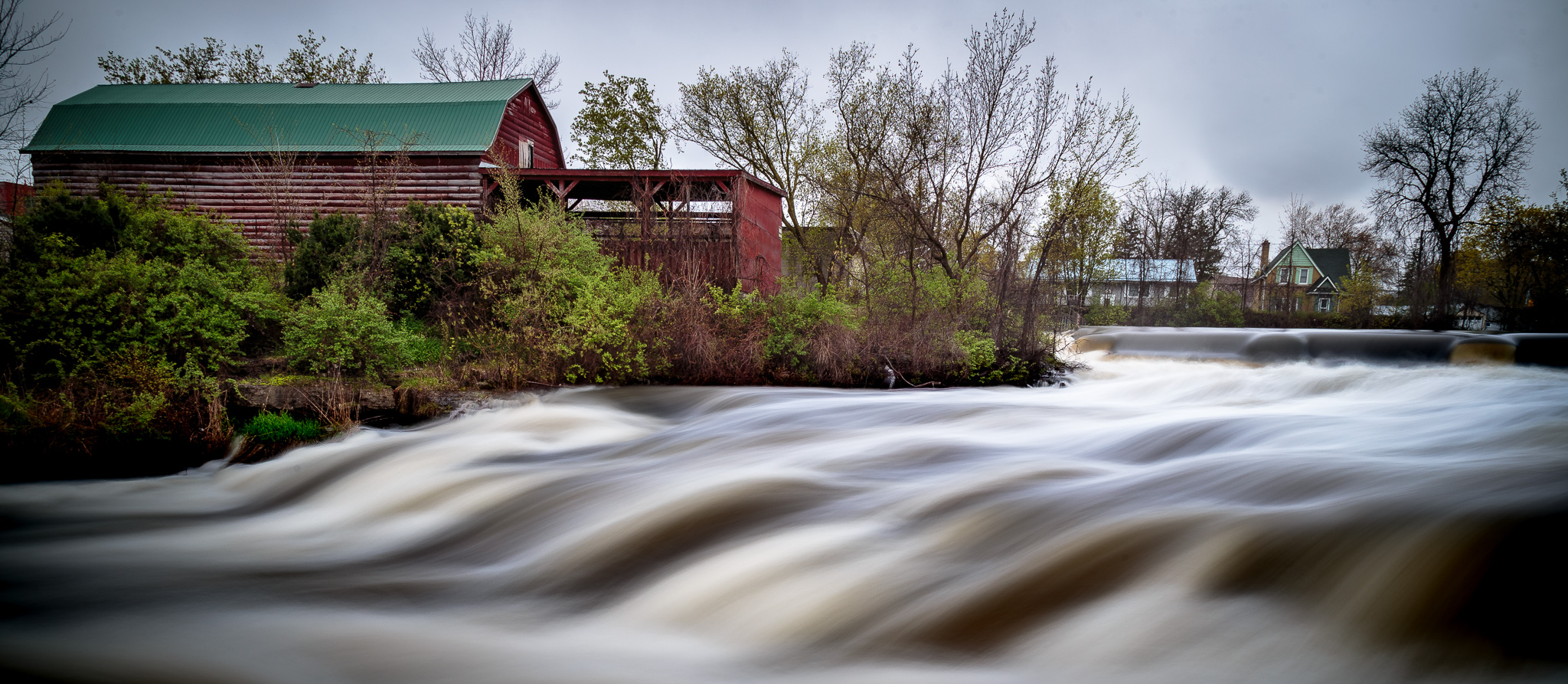
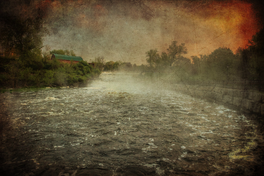
Swollen Napanee River
my new view ...
Low View

just a dusting of snow
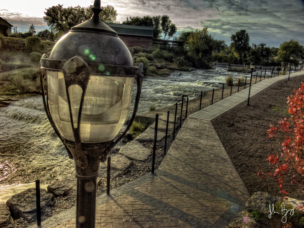
High Lamp View

Window View

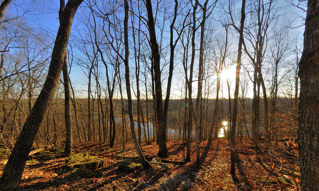
Lookout HTT

OWL OF THE WOODS
Train station and milkweed - Ernestown, Ontario
A Different VIew

Morning River View
Beautiful Day
A Touch of Green

Old Post Office
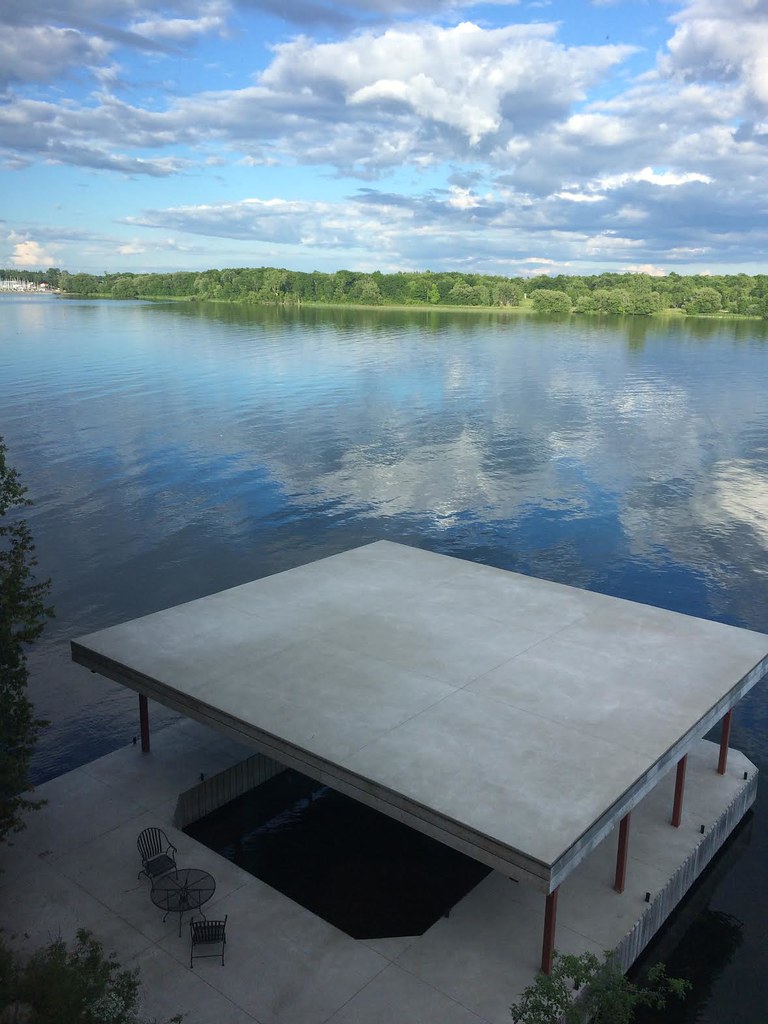
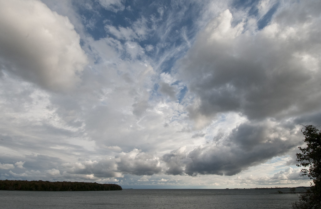
Water, Meet Sky
Dawn 4
Spring High Water Springside Park (Dawn 1)

Dawn 3
Dawn 2

Fast Fading From View

V--

June Sunset
A New Place to Walk
Confusion in the Skies

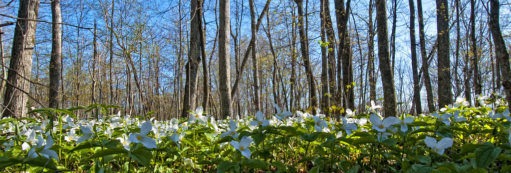
Sunlit Field
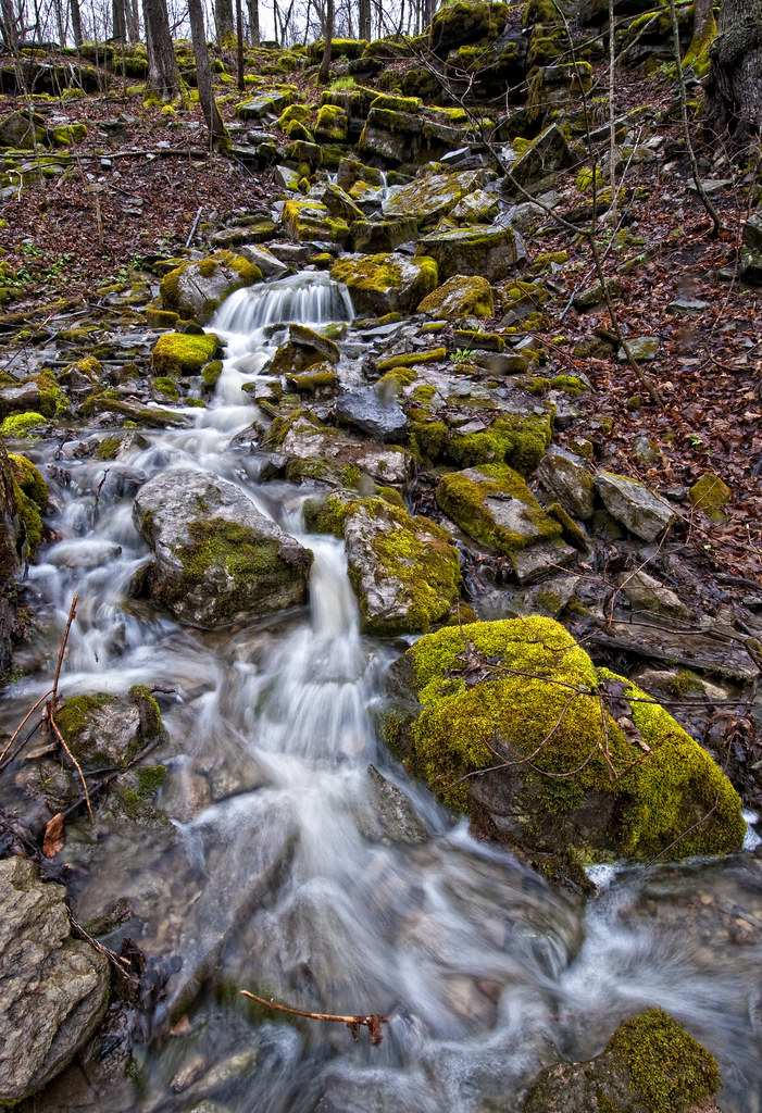
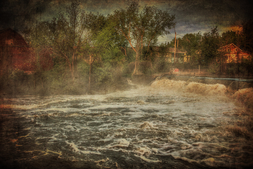
Falling Water
Passing Parade of Clouds on Sunday Morning
The Hill

Red Sky in Morning......

Warm Day, Mist, Ice
Week 49: Take A Flying Leap
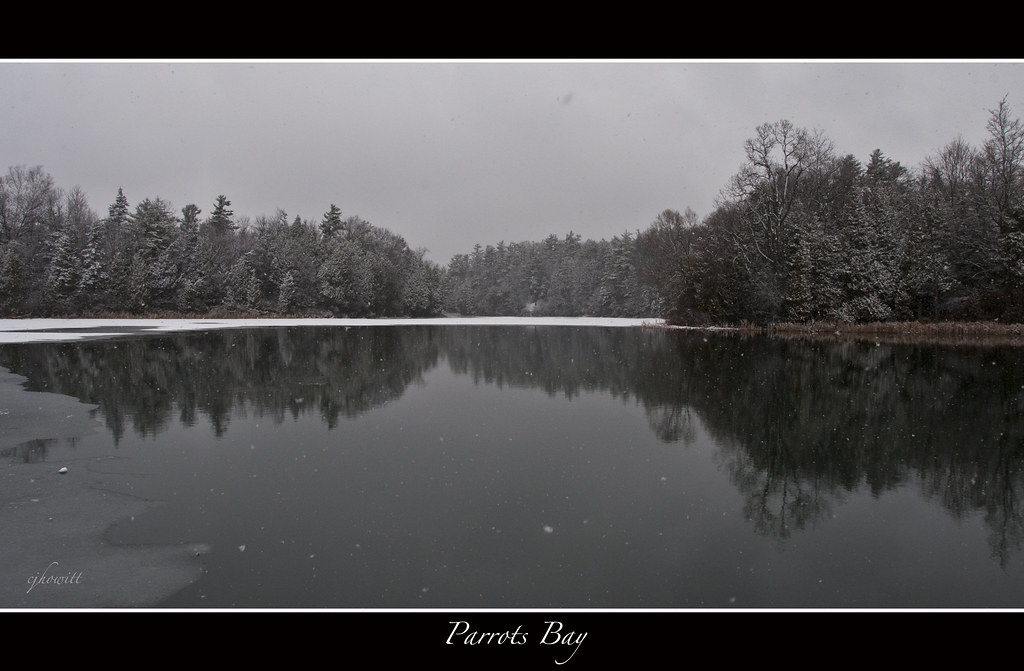
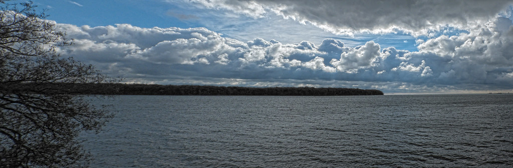
Parrot's Bay
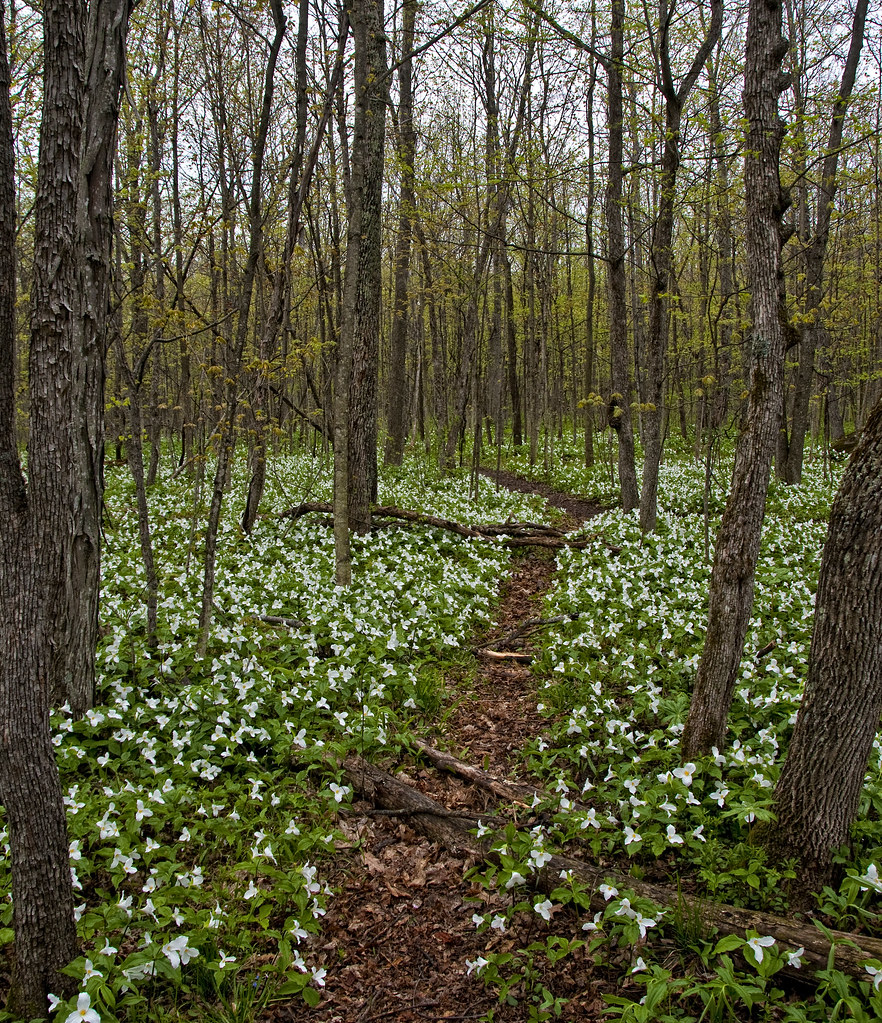
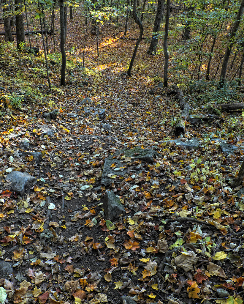
The Pathway Through
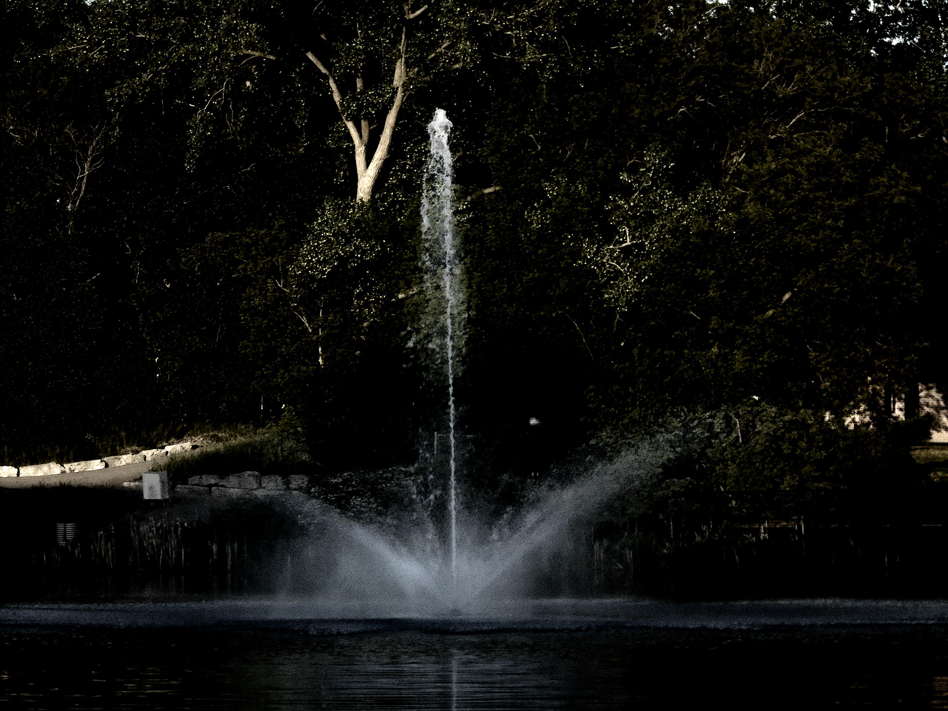
Fountain TT

Morning’s Promise
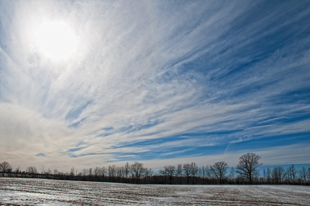
High Cirrus
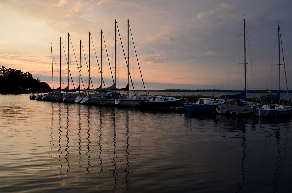
Sunrise, Loyalist Cove Marina

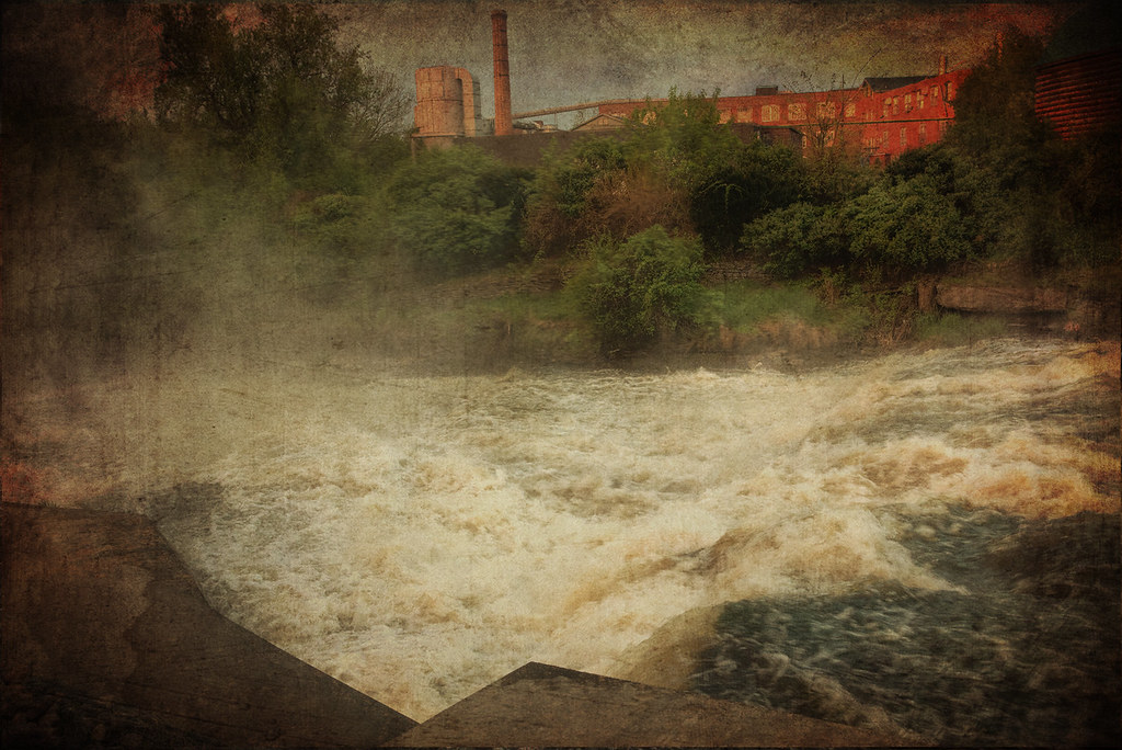
textured river

blue and white

railway bridge

Clouded Sunset
Topographic Map of Ontario 33, ON-33, Bath, ON, Canada
Find elevation by address:

Places near Ontario 33, ON-33, Bath, ON, Canada:
Finkle's Shore Park
570 Main Street Bath
6 Hawley Ct
7 Empire Ct
329 Main Street Bath
Bath
Bayshore Drive
Napanee Generating Station
Doyle Rd, Bath, ON K0H 1G0, Canada
2, Loyalist, ON K7R 3K6, Canada
7143 Loyalist Pkwy
Concession Rd 3, Stella, ON K0H 2S0, Canada
Stella
Loyalist
1624 Galt St
393 Perry Rd
4964 Bath Rd
4733 Taylor Kidd Blvd
127 Saul St
259-267
Recent Searches:
- Elevation of Corso Fratelli Cairoli, 35, Macerata MC, Italy
- Elevation of Tallevast Rd, Sarasota, FL, USA
- Elevation of 4th St E, Sonoma, CA, USA
- Elevation of Black Hollow Rd, Pennsdale, PA, USA
- Elevation of Oakland Ave, Williamsport, PA, USA
- Elevation of Pedrógão Grande, Portugal
- Elevation of Klee Dr, Martinsburg, WV, USA
- Elevation of Via Roma, Pieranica CR, Italy
- Elevation of Tavkvetili Mountain, Georgia
- Elevation of Hartfords Bluff Cir, Mt Pleasant, SC, USA