Elevation of Peach Rd, Saxton, PA, USA
Location: United States > Pennsylvania > Bedford County > Liberty Township > Saxton >
Longitude: -78.272997
Latitude: 40.2077363
Elevation: 327m / 1073feet
Barometric Pressure: 97KPa
Elevation Map:
Satellite Map:
Related Photos:

Fire Truck Fun

Daylily Garden - Birdseye view

Pilot's Point of View

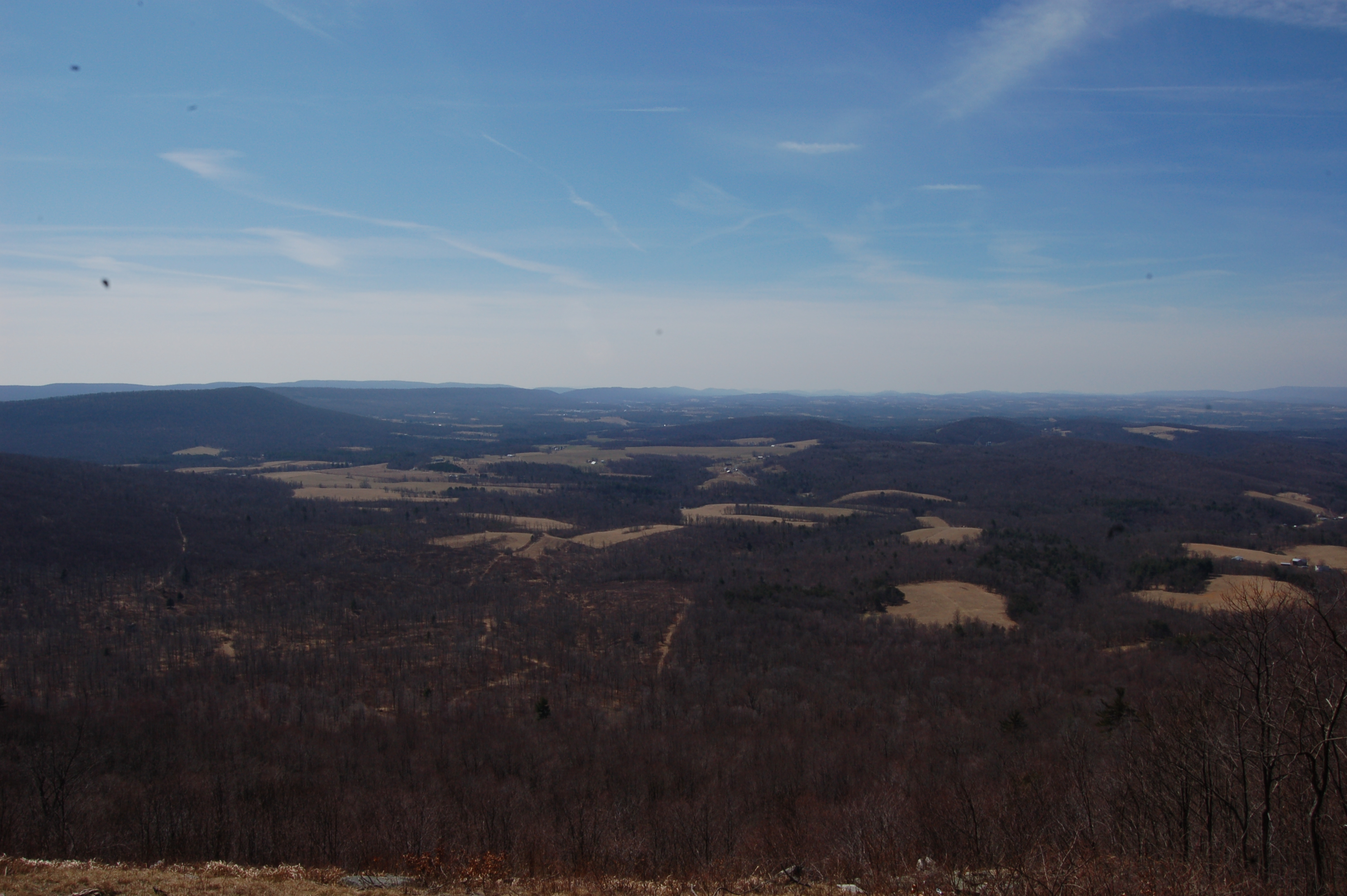
View from the hills
DSC_0556.JPG

DSC_0561.JPG

DSC_0560.JPG

SCENIC MORRISON'S COVE

Diehl's Crossroads Church of the Brethren

Peach Hill Trees are in full bloom

Raystown Lake

Six Mile Run, PA

Rabbit in the Asparagus patch

Juniata River

Cornfield sunset in the cove
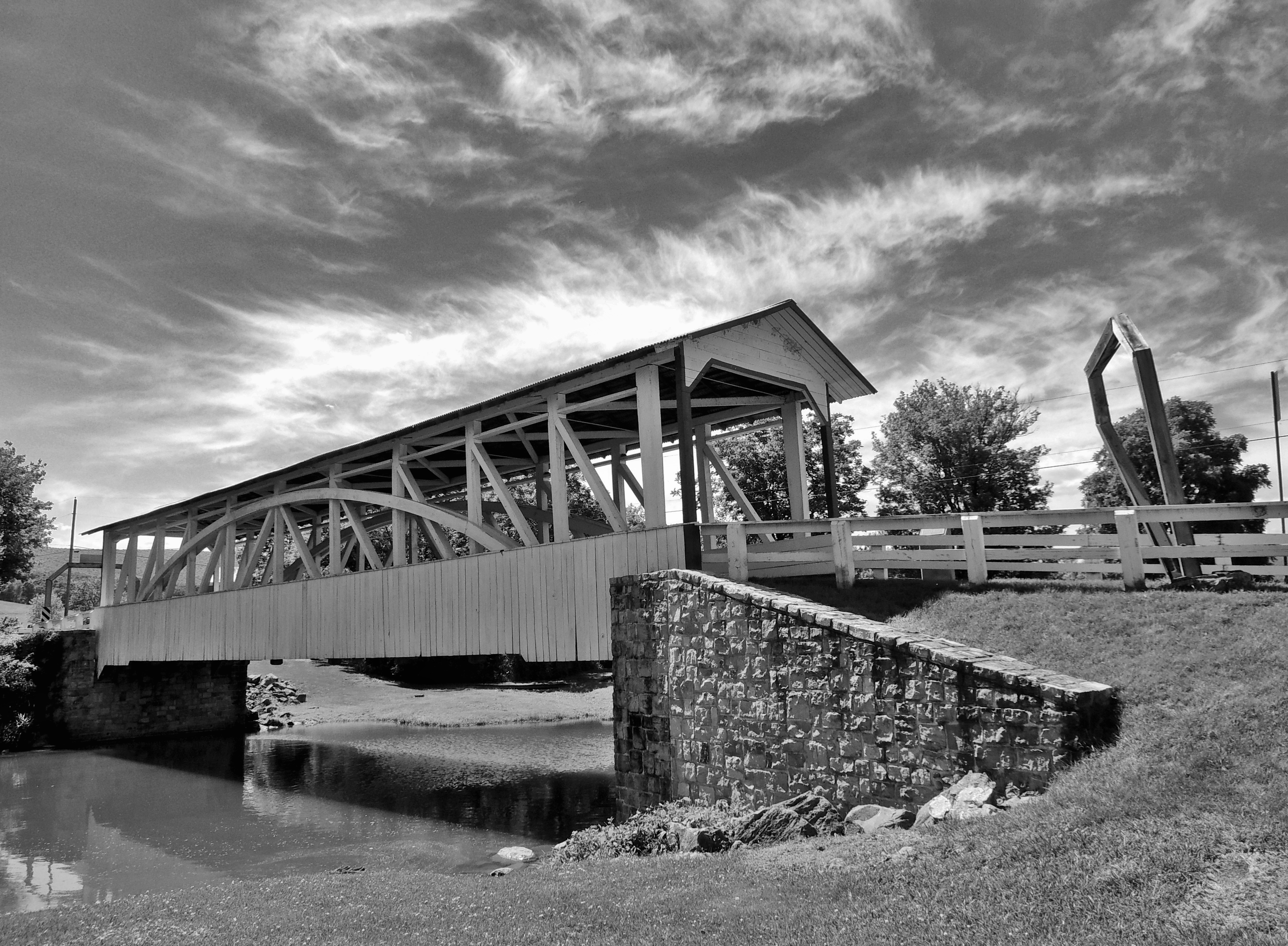
Halls Mill Covered Bridge

Halls Mill Covered Bridge

Yellow Buckeye fruit

Raystown Lake July 2016

Morrison's Cove

Blue Flowered Weed

Warriors Path State Park

Ginkgo - Maidenhair Tree

Dairy Farming
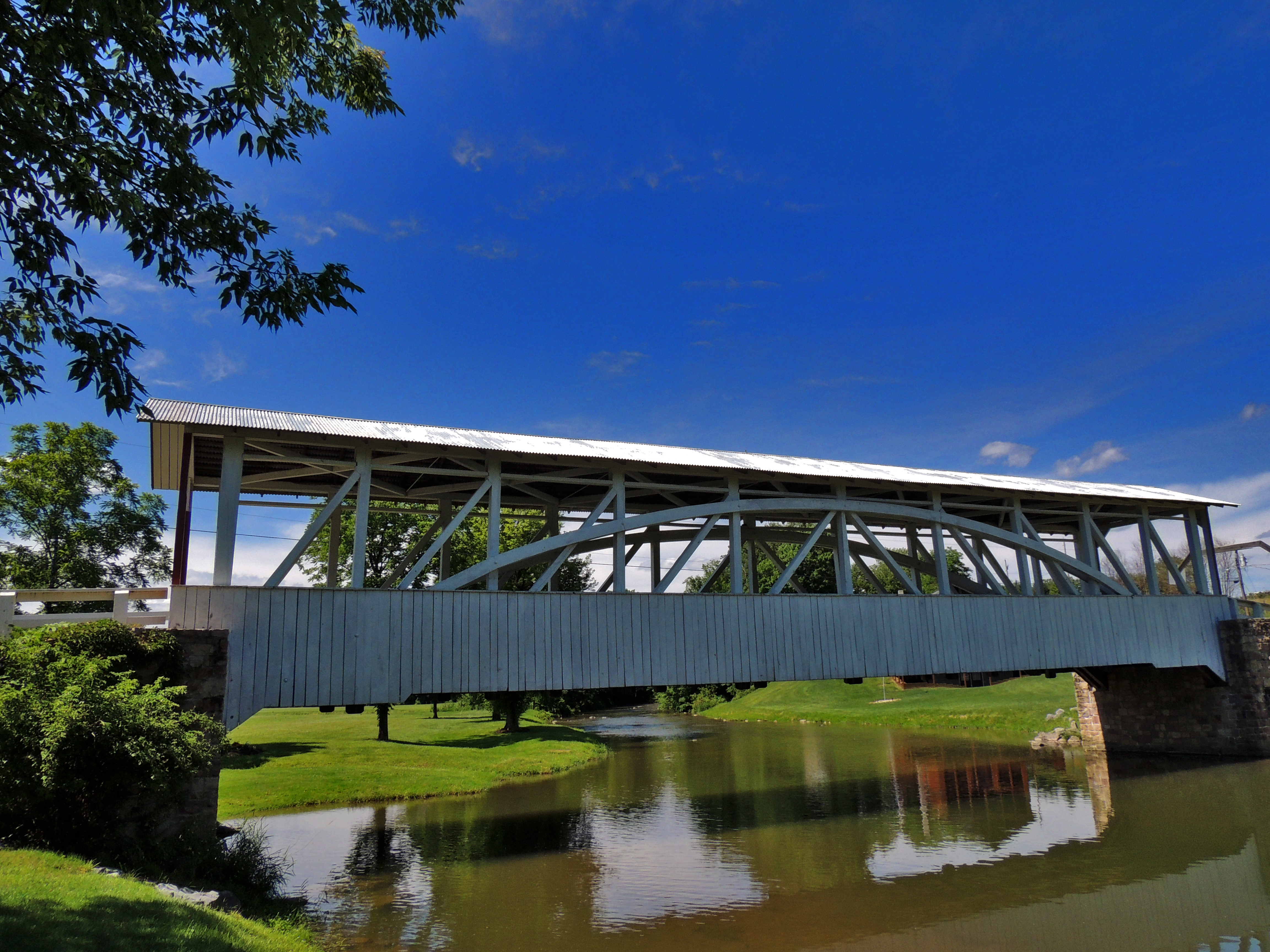
Halls Mill Covered Bridge

Halls Mill Covered Bridge
Topographic Map of Peach Rd, Saxton, PA, USA
Find elevation by address:

Places near Peach Rd, Saxton, PA, USA:
2568 Pinchot Rd
Liberty Township
100 Clark Rd
Saxton
Figard St, Saxton, PA, USA
Defiance
732 Mosquito Hollow Rd
209 Front St
209 Front St
Hopewell
642 Christian St
Hopewell Township
Broad Top Township
296 Yellow Creek Dr
Mill Street
Raystown Rd, Hopewell, PA, USA
147 T644
Loysburg
119 Red Fox Rd
Broad Top City
Recent Searches:
- Elevation of Corso Fratelli Cairoli, 35, Macerata MC, Italy
- Elevation of Tallevast Rd, Sarasota, FL, USA
- Elevation of 4th St E, Sonoma, CA, USA
- Elevation of Black Hollow Rd, Pennsdale, PA, USA
- Elevation of Oakland Ave, Williamsport, PA, USA
- Elevation of Pedrógão Grande, Portugal
- Elevation of Klee Dr, Martinsburg, WV, USA
- Elevation of Via Roma, Pieranica CR, Italy
- Elevation of Tavkvetili Mountain, Georgia
- Elevation of Hartfords Bluff Cir, Mt Pleasant, SC, USA