Elevation of Mill Street, Mill St, Woodbury, PA, USA

Location: United States > Pennsylvania > Bedford County >

Longitude: -78.365295

Latitude: 40.2227081

Elevation: 398m / 1306feet

Barometric Pressure: 97KPa

Elevation Map:

elevation map of Mill Street, Mill St, Woodbury, PA, USA

Satellite Map:

Satellite map of Mill Street, Mill St, Woodbury, PA, USA

Related Photos:

road smoke truck ev 260 house car chrysler 11 steam everettrailroad roaringspring pennsylvania unitedstates
Fast Times in Roaring Spring
action airplane altoona cityscape flying landscape lightning night pennsylvania skyscape spring storm sunset osterburg us cloud blair county bedford 10k plus astronomical event united states north america bedfordcounty astronomicalevent 10kplus unitedstates northamerica blaircounty websitenimbus
Somewhere Over Pennsylvania
2014 family pennsylvania saxton firestations 500views
Fire Truck Fun
county tarmac plane airplane airport pennsylvania hangar dash ii blair archer instruments altoona martinsburg
Pilot's Point of View
garden daylily birdseyeview daylilies daylilygarden
Daylily Garden - Birdseye view
bicycle america pennsylvania
View from the hills
nature outdoor landscape panorama light clouds sun expanse samsung mobilephotography
The Overlook
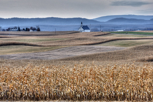
church andy rural landscape corn pennsylvania andrew fields tone aga hdri mapped photomatix highdynamicrangeimage aliferis diehlschurchofthebrethren
Diehl's Crossroads Church of the Brethren
SCENIC MORRISON'S COVE
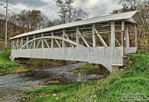
autumn fall rural landscape pennsylvania country scenic pa coveredbridge historicbridge bedfordcounty osterburg bedfordco bowsercoveredbridge burrtrussbridge
Bowser Covered Bridge spanning Bob's Creek, Osterburg Pennsylvania
family sunlight tree barn gold bokeh pennsylvania wheat shed jess ancestry coaldale sixmilerun ednamay ednamae broadtop petrohoy longsrunroad myrtlewright calvinfigard
Six Mile Run, PA
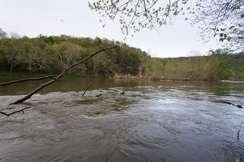
trees nature water pennsylvania juniatariver warriorspathstatepark
Juniata River
Cornfield sunset in the cove
bedfordcounty pennsylvania osterburg
Osterburg, PA
tree pa buckeye yellowbuckeye aesculusoctandra yellowbuckeyefruit
Yellow Buckeye fruit
blackwhite bw halls mill covered bridge bedford county pa pennsylvania scenic landscapes structures georgeneat patriotportraits neatroadtrips old historical
Halls Mill Covered Bridge
county sky cloud mountain field pennsylvania cove farm country valley blair morrisons martinsburg
Morrison's Cove
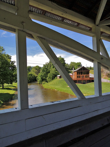
halls mill covered bridge yellow creek hopewell township twp bedford county pa pennsylvania structures transportation landscapes scenic scenery georgeneat patriotportraits neatroadtrips
Halls Mill Covered Bridge
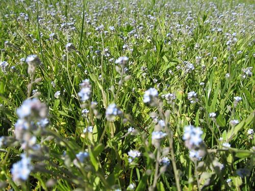
blue flower spring weed bluefloweredweed
Blue Flowered Weed
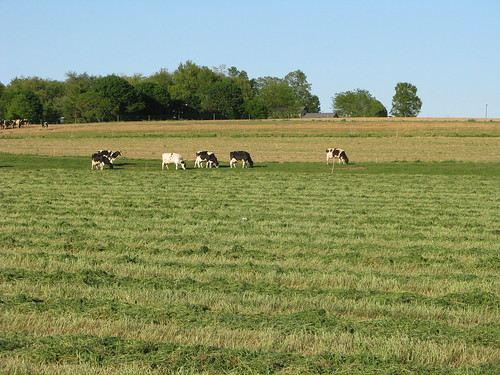
cows farm pa dairyfarming blaircountypa
Dairy Farming
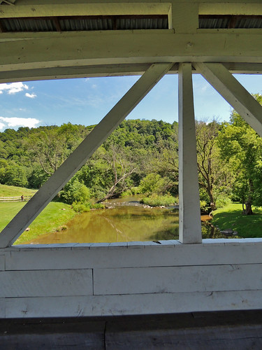
halls mill covered bridge yellow creek hopewell township twp bedford county pa pennsylvania structures transportation landscapes scenic scenery georgeneat patriotportraits neatroadtrips
Halls Mill Covered Bridge
blue flower spring weed bluefloweredweed
Blue Flowered Weed
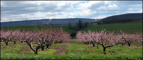
peachtree floweringtrees
Peach Hill Trees are in full bloom
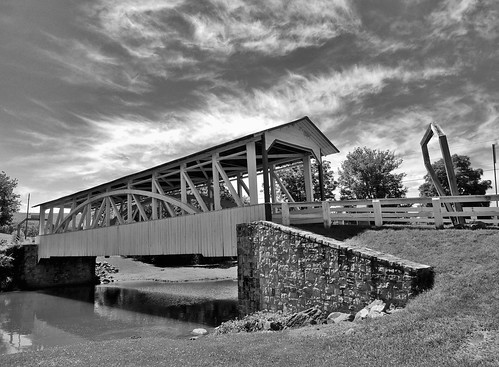
bowser covered bridge osterburg bedford county pa pennsylvania landscapes scenic structure old historical history georgeneat patriotportraits neatroadtrips blackwhite bw
Bowser Covered Bridge
summer rabbit bunny garden pa shade asparagus martinsburgpa asparaguspatch
Rabbit in the Asparagus patch
bowser covered bridge osterburg bedford county pa pennsylvania landscapes scenic structure old historical history georgeneat patriotportraits neatroadtrips
Bowser Covered Bridge