Elevation of Defiance, PA, USA
Location: United States > Pennsylvania > Bedford County > Broad Top Township >
Longitude: -78.229733
Latitude: 40.1611916
Elevation: 311m / 1020feet
Barometric Pressure: 98KPa
Elevation Map:
Satellite Map:
Related Photos:
DSC07661.JPG

Fire Truck Fun

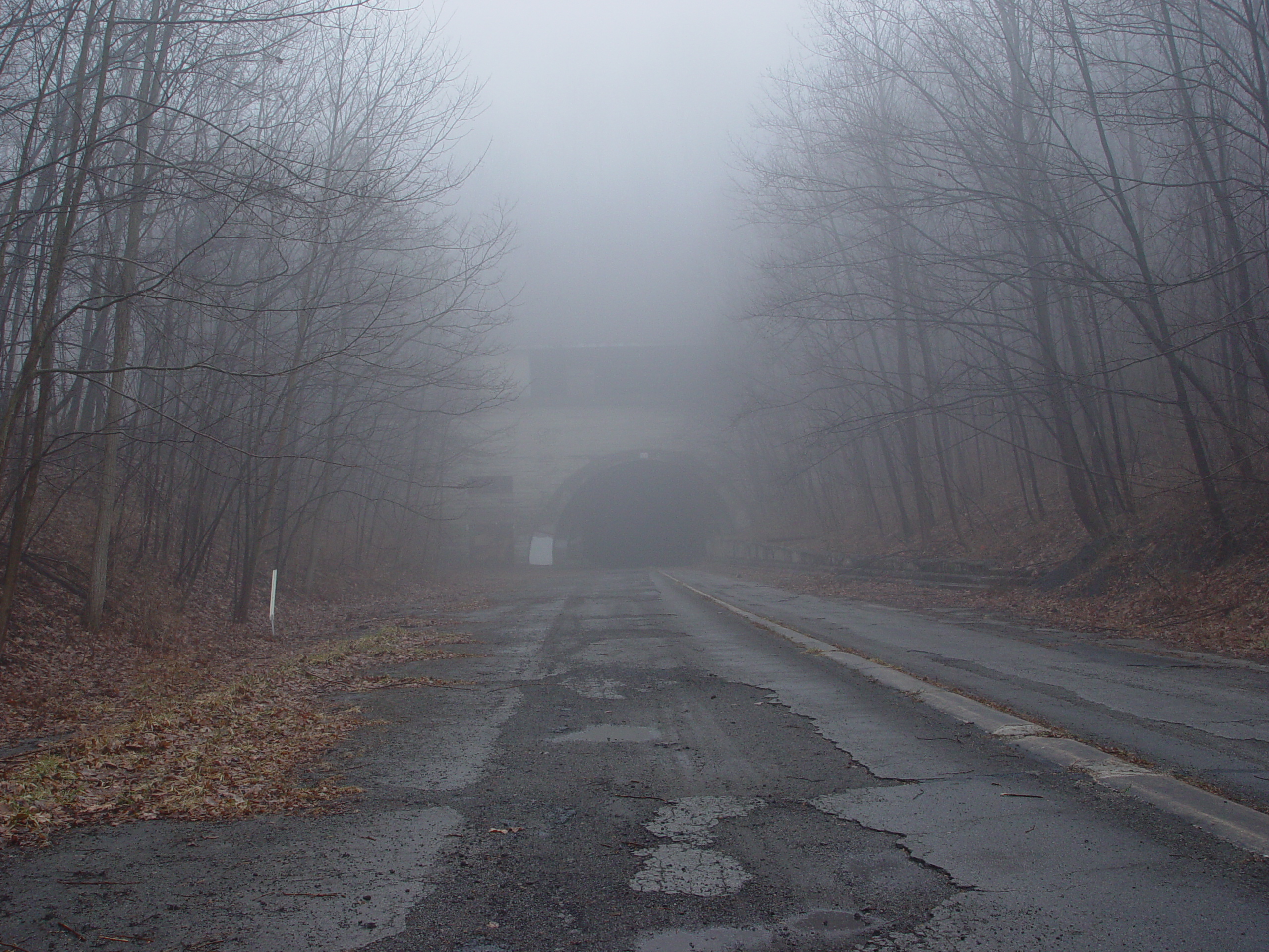
Outside the Tunnel

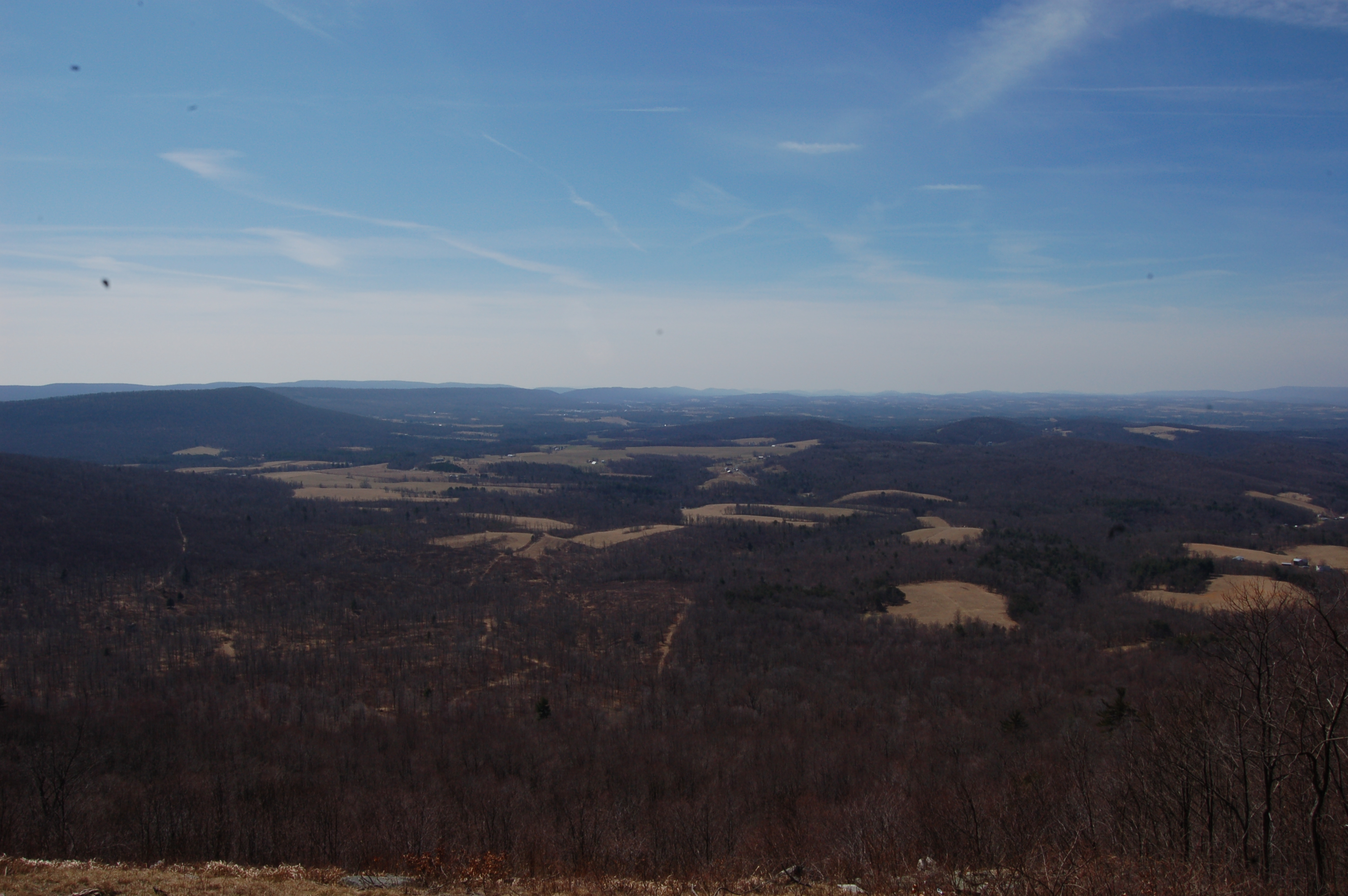
View from the hills
DSC_0556.JPG

DSC_0561.JPG

DSC_0560.JPG
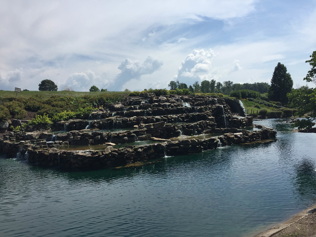
Nemacolin Woodlands Mini Golf
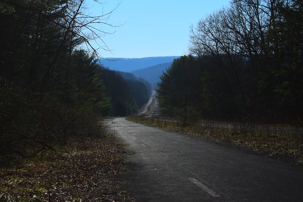
Abandoned Turnpike.

Diehl's Crossroads Church of the Brethren

Peach Hill Trees are in full bloom

Six Mile Run, PA

Markie Biking the Abandoned PA Turnpike

Juniata River
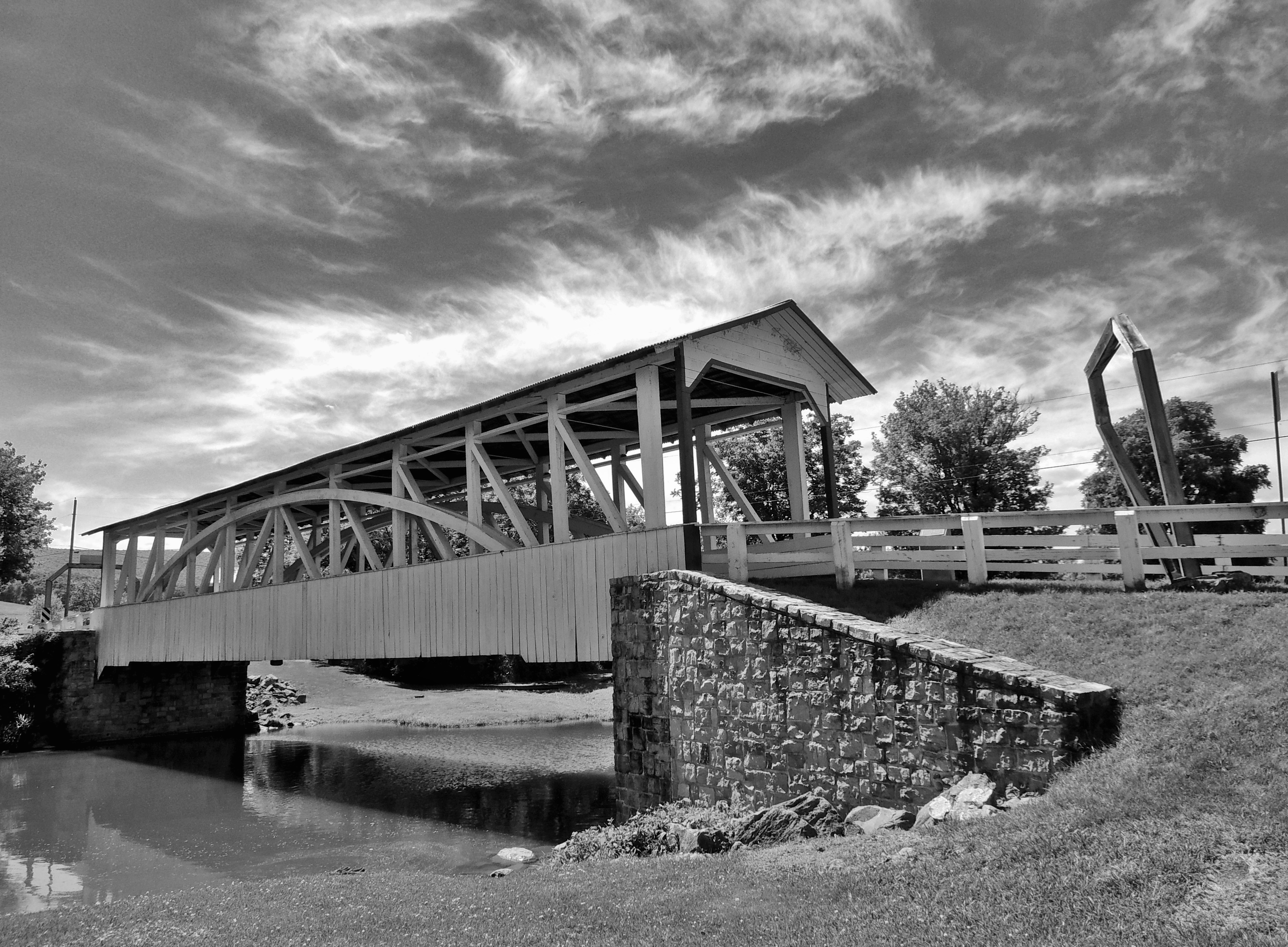
Halls Mill Covered Bridge

Halls Mill Covered Bridge

Raystown Lake July 2016

Weedy Divider

Breezewood Exit

Warriors Path State Park

It's starting to rain but I didn't come this far for nothing!

Dairy Farming
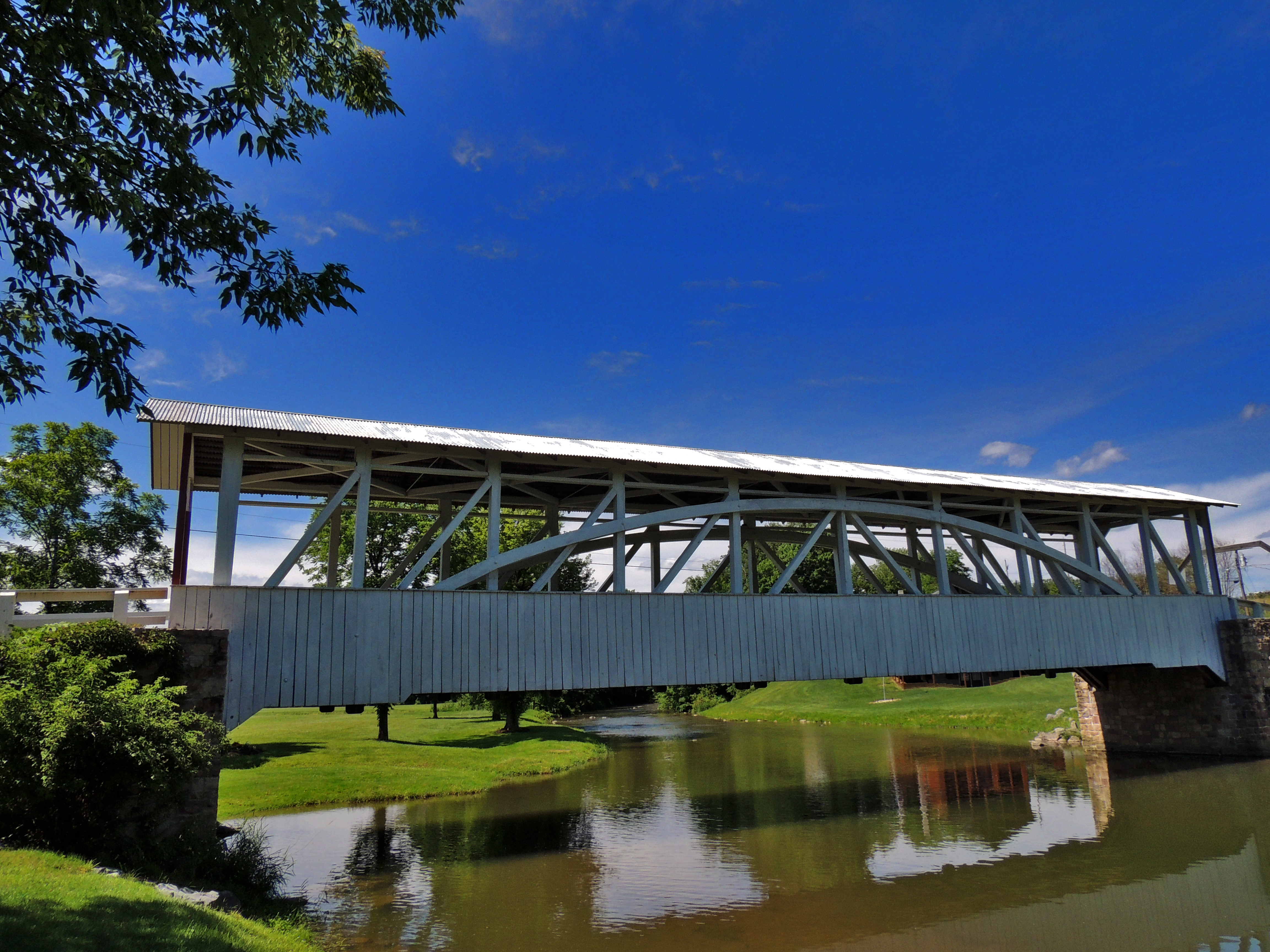
Halls Mill Covered Bridge

Halls Mill Covered Bridge

Wild Flowers on a misty evening

Raystown Lake July 2016
Topographic Map of Defiance, PA, USA
Find elevation by address:

Places near Defiance, PA, USA:
732 Mosquito Hollow Rd
Broad Top Township
209 Front St
209 Front St
642 Christian St
Hopewell
100 Clark Rd
Saxton
Figard St, Saxton, PA, USA
371 Peach Rd
2568 Pinchot Rd
Liberty Township
Hopewell Township
Wells Tannery
W Tannery Rd, Wells Tannery, PA, USA
119 Red Fox Rd
Broad Top City
296 Yellow Creek Dr
Raystown Rd, Hopewell, PA, USA
18 N Main St, Robertsdale, PA, USA
Recent Searches:
- Elevation of Corso Fratelli Cairoli, 35, Macerata MC, Italy
- Elevation of Tallevast Rd, Sarasota, FL, USA
- Elevation of 4th St E, Sonoma, CA, USA
- Elevation of Black Hollow Rd, Pennsdale, PA, USA
- Elevation of Oakland Ave, Williamsport, PA, USA
- Elevation of Pedrógão Grande, Portugal
- Elevation of Klee Dr, Martinsburg, WV, USA
- Elevation of Via Roma, Pieranica CR, Italy
- Elevation of Tavkvetili Mountain, Georgia
- Elevation of Hartfords Bluff Cir, Mt Pleasant, SC, USA