Elevation of Loysburg, PA, USA
Location: United States > Pennsylvania > Bedford County > South Woodbury Township >
Longitude: -78.376528
Latitude: 40.1611907
Elevation: 342m / 1122feet
Barometric Pressure: 97KPa
Elevation Map:
Satellite Map:
Related Photos:

Somewhere Over Pennsylvania
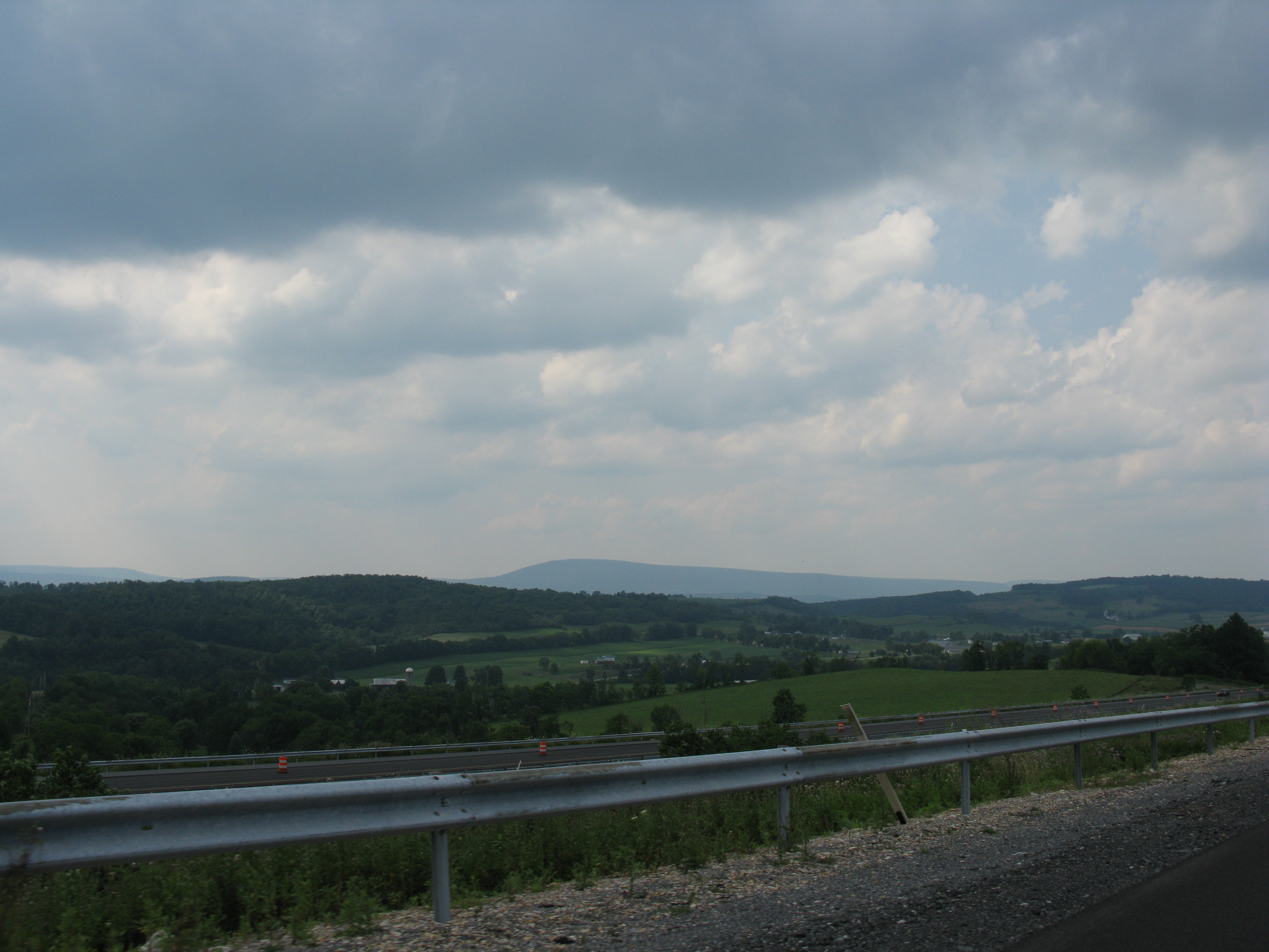
2008 07 26 - Imler - View from I99

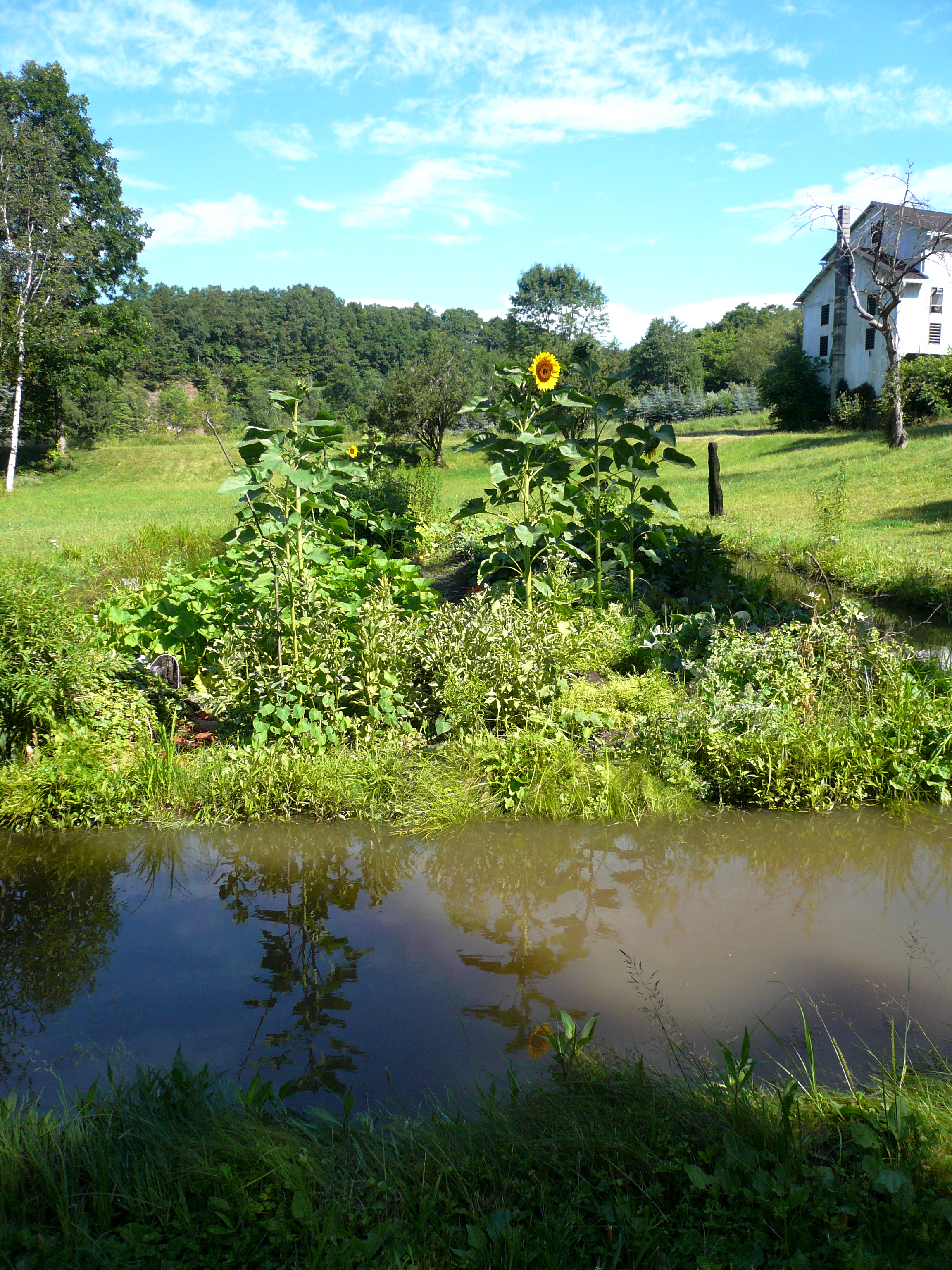
the garden from above, mid-june
DSC_0556.JPG
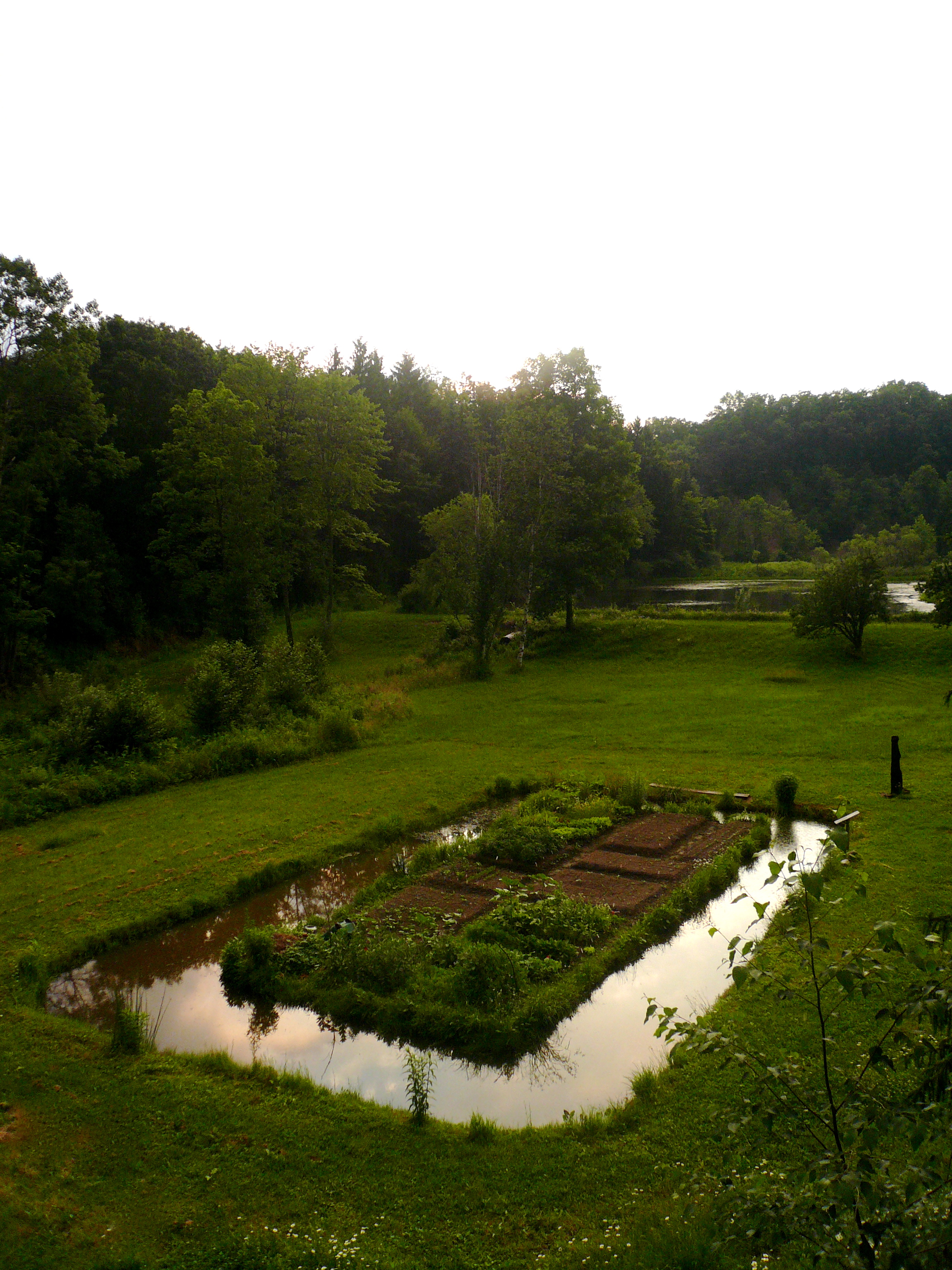
the garden from above, mid-june
DSC_0560.JPG

Pilot's Point of View

DSC_0561.JPG
floating beneath the clouds

Diehl's Crossroads Church of the Brethren

Peach Hill Trees are in full bloom

DSC_4066.JPG
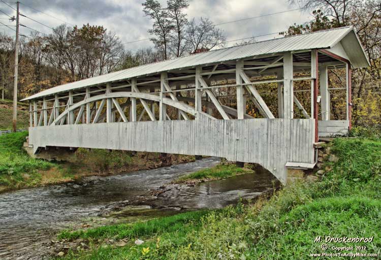
Bowser Covered Bridge spanning Bob's Creek, Osterburg Pennsylvania

DSC_4064.JPG

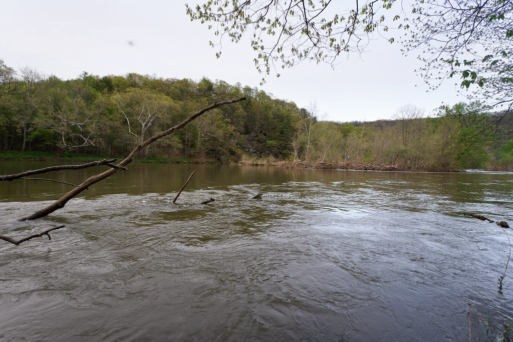
Six Mile Run, PA
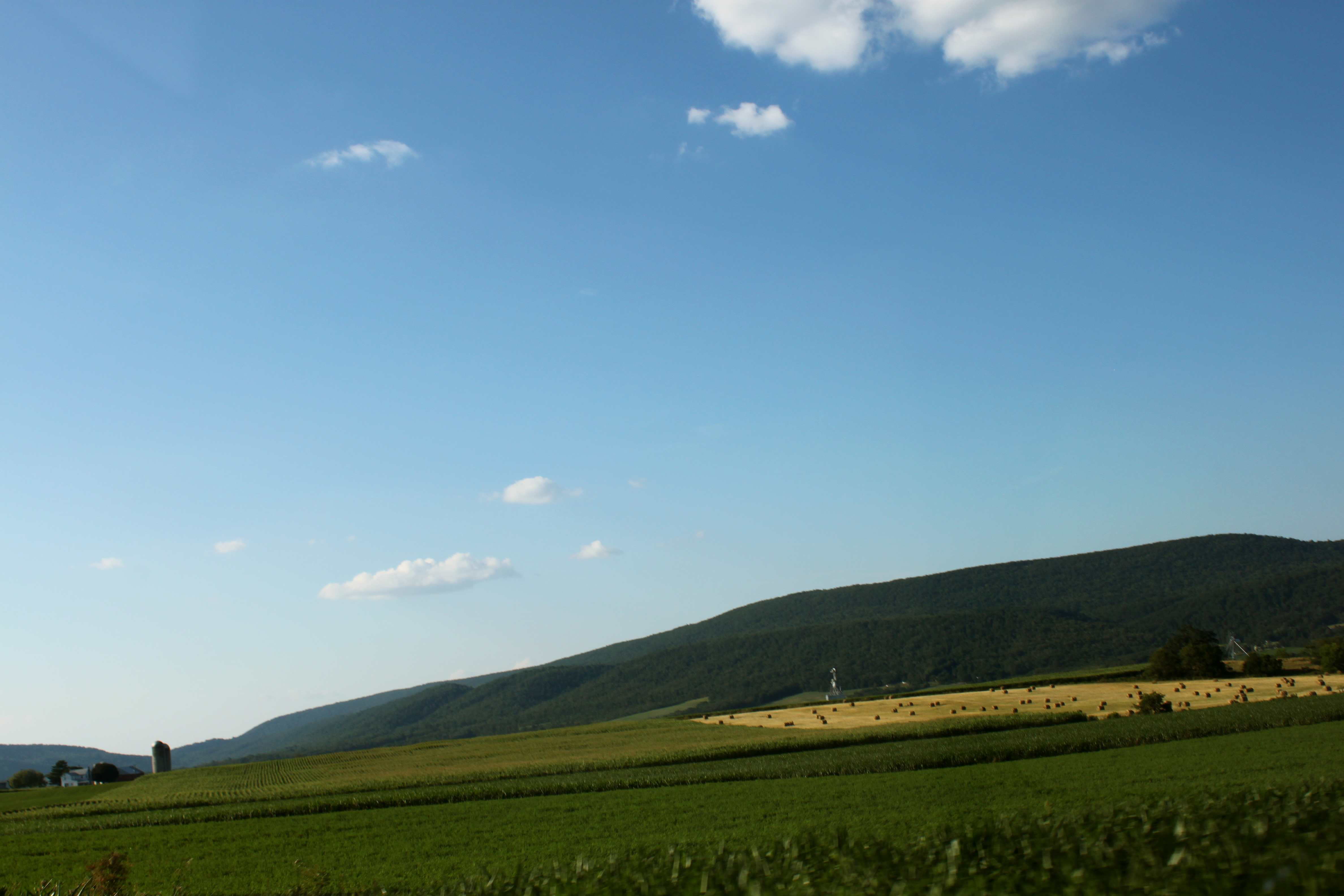
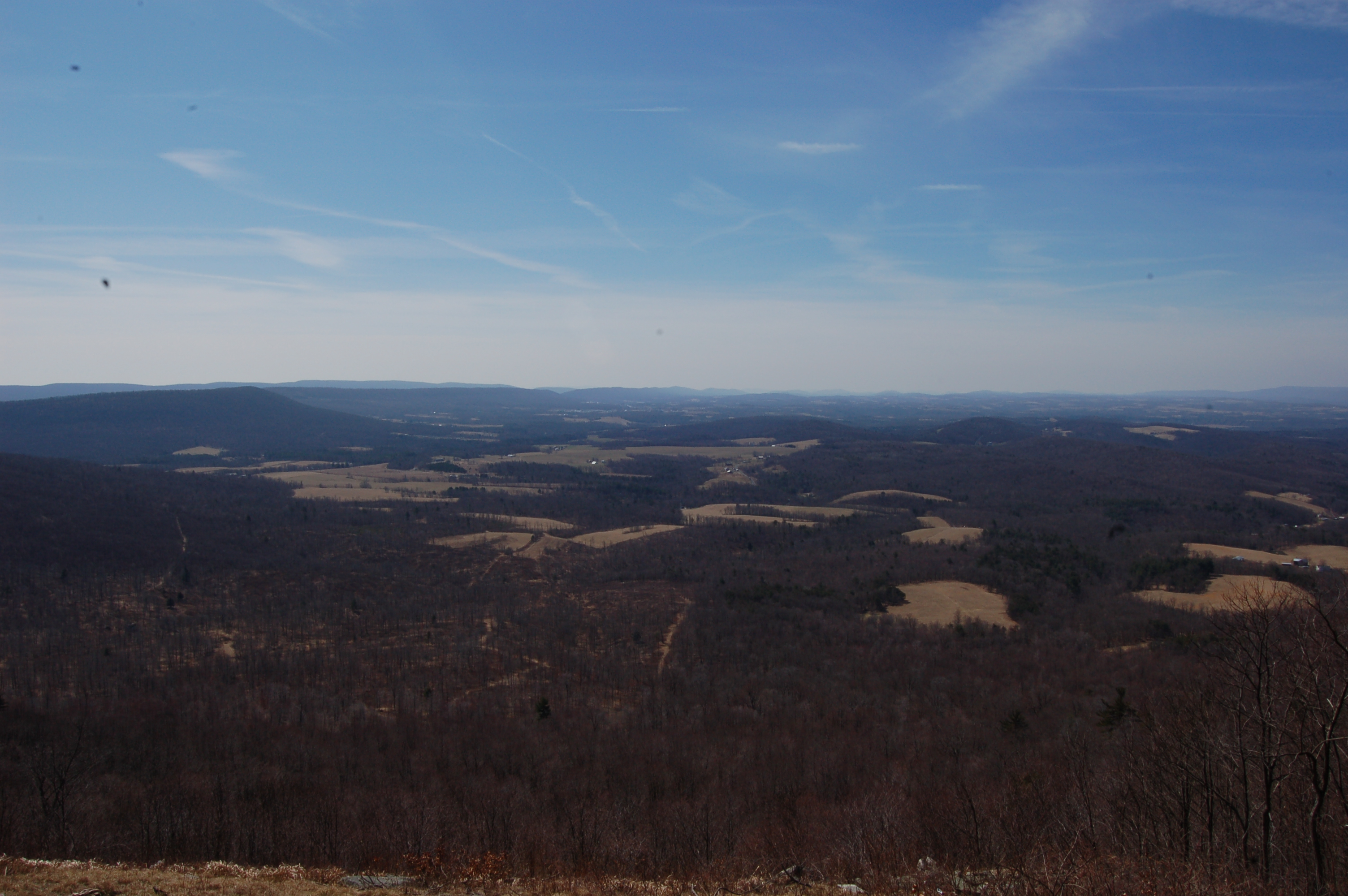
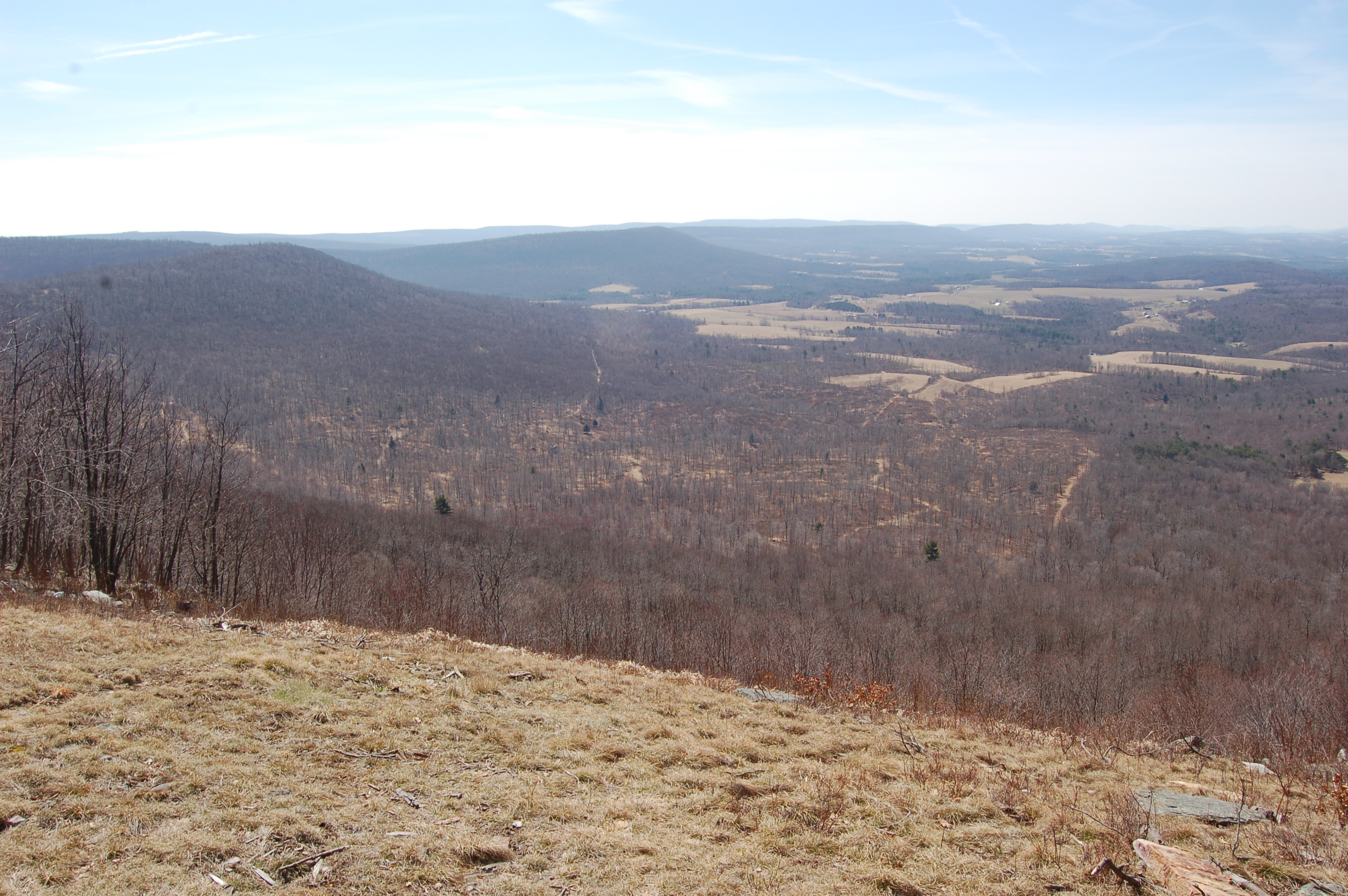
Morrison's Cove

when the plants were babehs
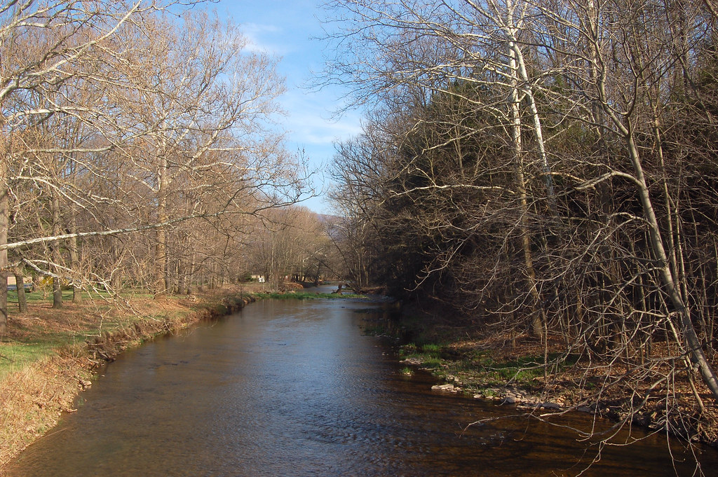
Country Creek

Morning at Yellow Creek
Warriors Path State Park
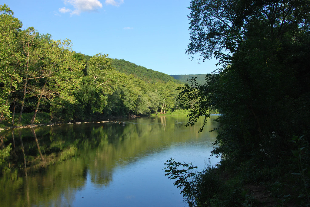
Juniata River
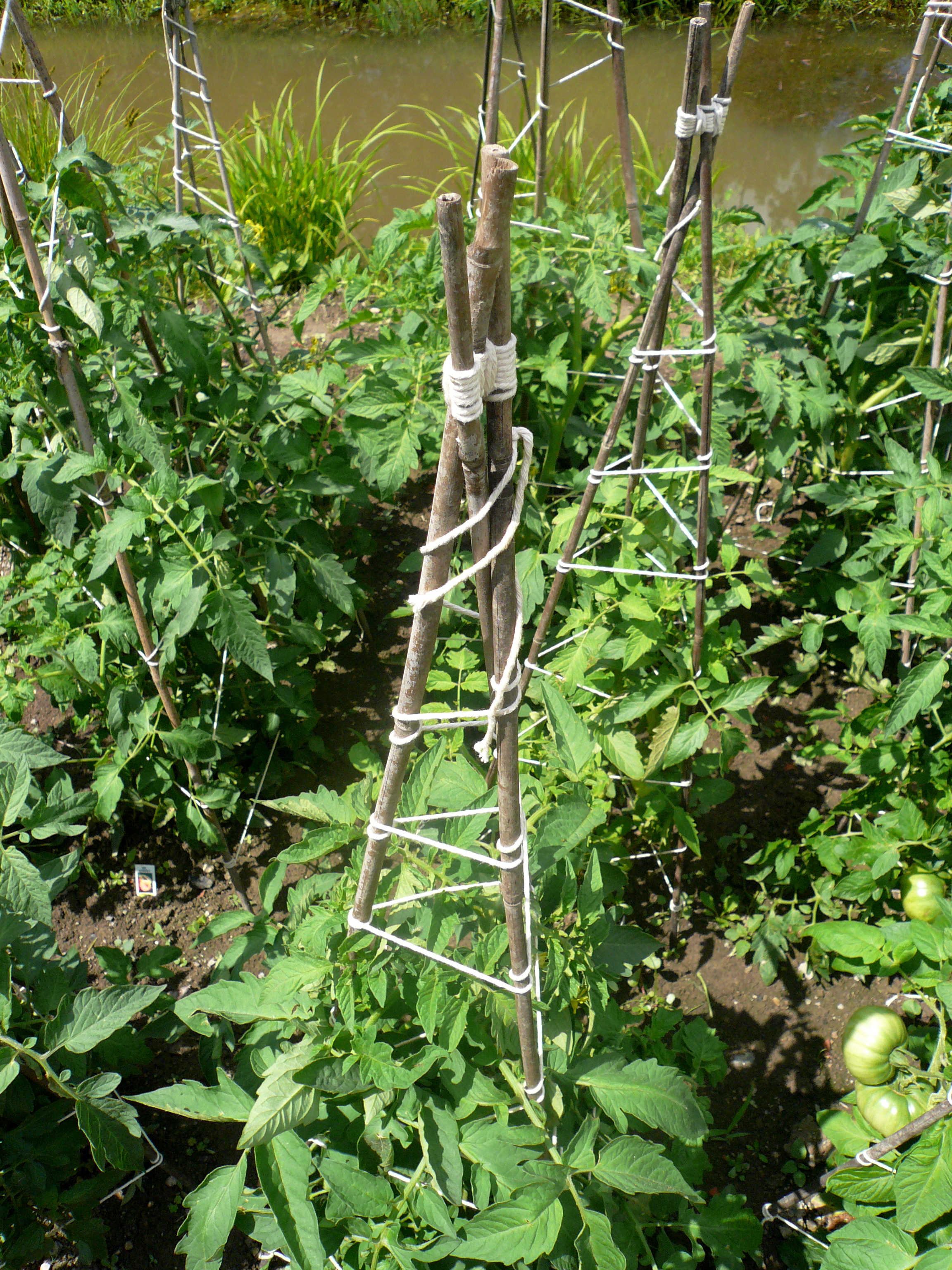
tomato bondage

vacation7months 030

vacation7months 012
Topographic Map of Loysburg, PA, USA
Find elevation by address:

Places near Loysburg, PA, USA:
Raystown Rd, Hopewell, PA, USA
296 Yellow Creek Dr
Mill Street
Hopewell Township
147 T644
119 Red Fox Rd
Liberty Township
209 Front St
209 Front St
Hopewell
2568 Pinchot Rd
642 Christian St
371 Peach Rd
100 Clark Rd
Saxton
Defiance
732 Mosquito Hollow Rd
Broad Top Township
Figard St, Saxton, PA, USA
W Tannery Rd, Wells Tannery, PA, USA
Recent Searches:
- Elevation of Corso Fratelli Cairoli, 35, Macerata MC, Italy
- Elevation of Tallevast Rd, Sarasota, FL, USA
- Elevation of 4th St E, Sonoma, CA, USA
- Elevation of Black Hollow Rd, Pennsdale, PA, USA
- Elevation of Oakland Ave, Williamsport, PA, USA
- Elevation of Pedrógão Grande, Portugal
- Elevation of Klee Dr, Martinsburg, WV, USA
- Elevation of Via Roma, Pieranica CR, Italy
- Elevation of Tavkvetili Mountain, Georgia
- Elevation of Hartfords Bluff Cir, Mt Pleasant, SC, USA