Elevation of Partridge Ave, Menlo Park, CA, USA
Location: United States > California > San Mateo County > Menlo Park >

Longitude: -122.17786

Latitude: 37.4461729

Elevation: 21m / 69feet

Barometric Pressure: 101KPa

Elevation Map:

elevation map of Partridge Ave, Menlo Park, CA, USA

Satellite Map:

Satellite map of Partridge Ave, Menlo Park, CA, USA
Related Photos:

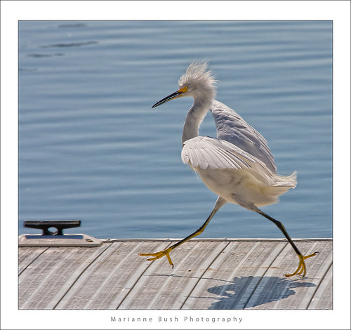
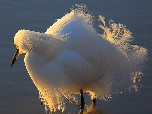
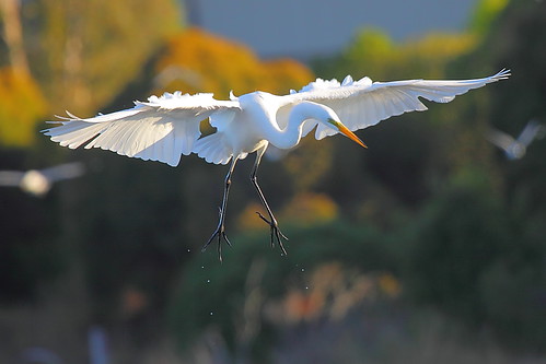
white bird interestingness bravo 11 explore egret strut snowyegret shorebird egrettathula naturesfinest 255 theintimidator specanimal impressedbeauty avianexcellence
Egret Strut
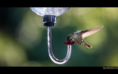
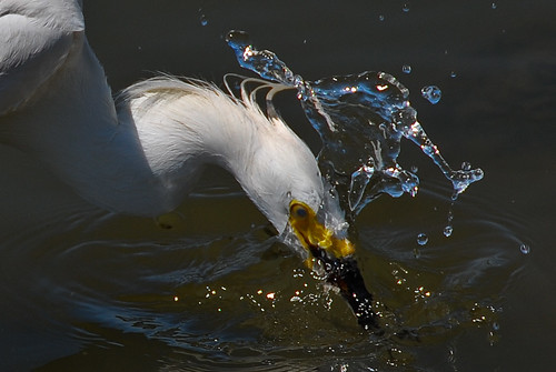
motion bird nature glass wings hummingbird fav50 bokeh beak feeder fav20 sugar nectar pajaro fav30 oiseau flutter uccello colibri zucchero nettare 1000v fav10 fav40 elmofoto lorenzomontezemolo flickrmarketplace flickrlicensing
sometimes you just need to wet your beak | atherton, ca
mountainview potd
On The Bike Path
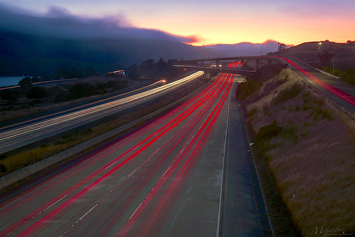
trafficlighttrails lighttrails interstate280 route92 sanmateo lowfog foginsf longexposure dusk seascape bay ngc bayarea wave ocean shore seaside coast california landscape outdoor clouds sky mountain rollinghills evening sunset traffictrails summer
On Their Way Home
pulgaswatertemple
Selestial Orbit
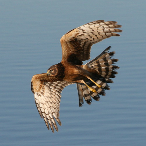
birds flying birdwatcher topshot northernharrier circuscyaneus charlestonslough naturescall featheryfriday top20birdshots mountainviewcalifornia specanimal anawesomeshot impressedbeauty avianexcellence goldwildlife treeofhonor bloggedtwe
Northern Harrier-IMG_1671-MV baylands-Crop
snowy egret
IMG_8090 Snowy Egret, Mountain View Shoreline Park, CA
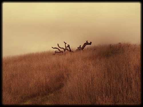
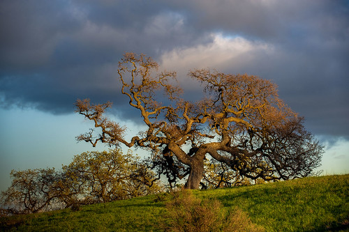
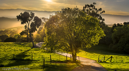
california ca sunset usa tree us oak day unitedstates cloudy paloalto hdr gnarled exposureblending photomatix dishtrail standforduniversity
Gnarled Oak
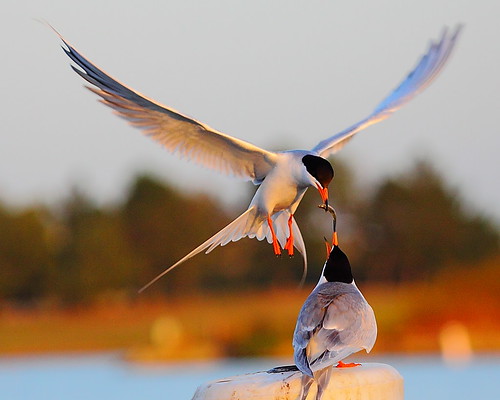
park mountain canon is view shoreline l usm tern 100400mm forsterstern forsters coth greatshots topshots specanimal photosandcalendar natureselegantshots panoramafotografico coth5 theoriginalgoldseal flickrsportal flickrportal ringexcellence dblringexcellence tplringexcellence eltringexcellence
IMG_1380 Let Me Feed You, Honey.
mountainview potd
Floor Cord
park mountain view shoreline tern forsterstern forsters ringexcellence dblringexcellence tplringexcellence eltringexcellence
IMG_2314 Forster's Tern
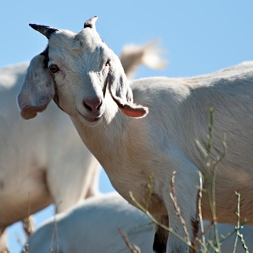
california sunnyvale goat september explore goats photoaday 2009 johnk explored d5000 sunnyvalewetlandspreserve johnkrzesinski randomok
What a cute kid :)
mountainview potd
Next To The Adobe
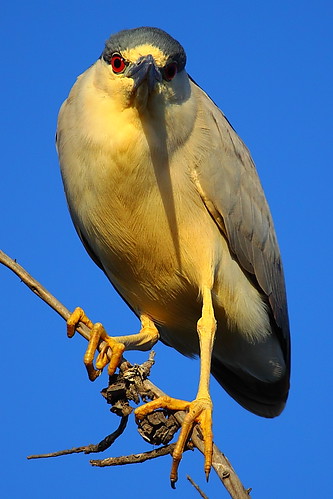
park mountain heron night view shoreline nightheron coth coth5
IMG_3580 Black-Crowned Night Heron
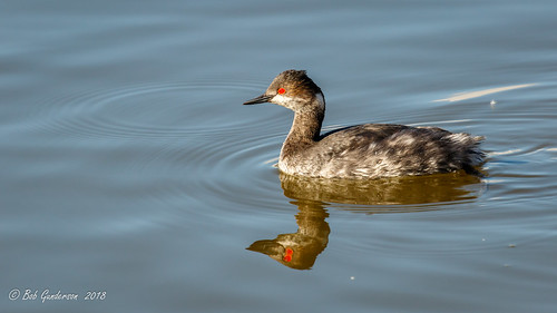
birds california earedgrebe grebes northerncalifornia podicepsnigricollis santaclaracounty shorelinelake southbay swimmingbirdsother
Eared Grebe with just a hint of the breeding plumage
mountainview potd
Mud Hat
park mountain view great shoreline explore egret greategret ringexcellence dblringexcellence tplringexcellence
IMG_0173 Here I Come! Mountain View Shoreline Park, CA
mountainview potd
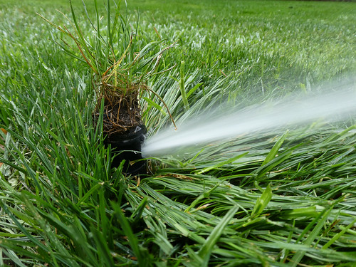
Cone Drips
ca sunset sky clouds square landscape evening bay hills squareformat paloalto hefe iphoneography instagramapp uploaded:by=instagram foursquare:venue=4b2881b9f964a520b99324e3
view from the Palo Alto hills down to the bay.
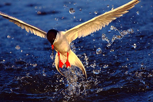
birds hiking shoreline mountainview
Fish On
mountainview potd
Wheels Up
sunset landscape trails d600 rockpaper stanforddishtrail californiaoaktrees
Closing Time
trees nature water fog landscape powerlines sanandreasfault marinelayer sanmateocounty portola crystalspringsreservoir weatherpatterns brightsunnydays d7000 galleryoffantasticshots
Power Meets Power
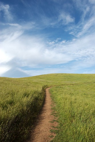
california sky grass clouds path trail bayarea april paloalto siliconvalley southbay arastradero arastraderopreserve
April Skies | Palo Alto
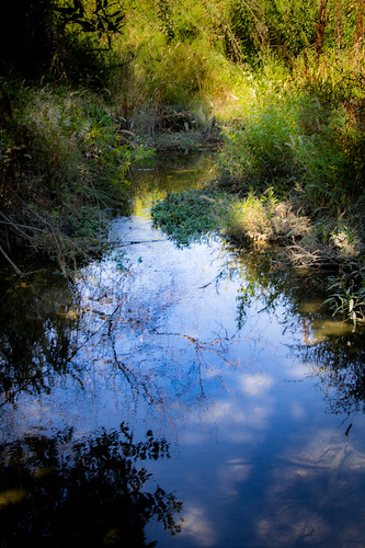
blue sky reflection green water clouds mountainview stevenscreektrail
Shade and reflections
california coyote tree nature field yellow square landscape spring fremont hills coyotehills hollingsworth iphone5 iphoneography hipstamatic uploaded:by=flickrmobile flickriosapp:filter=nofilter
Tree in Yellow Field
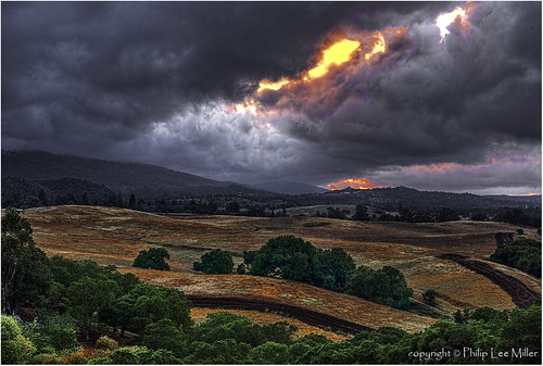
california sunset nature grass landscape woodside legacy hdr rollinghills stormclouds hypothetical sanmateocounty windingroads d7000 californiaoaktrees topazdetail galleryoffantasticshots trueexcellence1
And the wind cries Mary
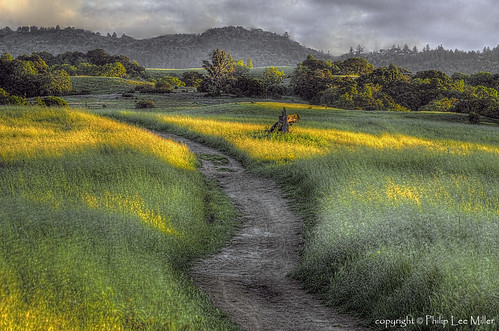
california trees nature grass clouds landscape trails sunsets hdr rollinghills fieldsofgold arastraderopreserve d7000 daarklands magicunicornmasterpiece topazdetail explored7000
Fields of Gold
california road trees grass afternoon dirt grasses grassland palo alto grasslands arastradero
Arastradero Pasture
wild sky nature yellow clouds landscape spring pretty mustard hollingsworth ellow firld iphone5 iphoneography uploaded:by=flickrmobile flickriosapp:filter=nofilter
Mustard field
ponds zengardens earlymarch californiagardens mygearandme ringexcellence waterinthegardens dinahsgardenhote
~~Garden of PEACE #2~~
Yesterday afternoon stroll.
Dumbarton Pier 06.jpg
california sanmateo purisimacreek blackandwhite fog
Purisima Creek
california trees fall grass landscape woodside hollingsworth huddartpark iphoneography
Huddart Park
Redwood Shores
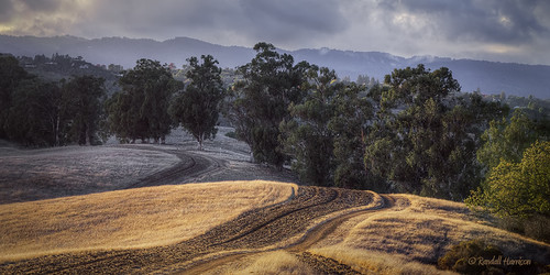
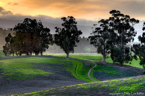
california nature grass landscape trails hdr rollinghills arastraderopreserve eucalyptustrees d7000 topazdetail rememberthatmomentlevel4 rememberthatmomentlevel1 rememberthatmomentlevel2 rememberthatmomentlevel3 rememberthatmomentlevel7 rememberthatmomentlevel5 rememberthatmomentlevel6
Gentle Afterglow
california trees sunset nature grass clouds landscape hdr coastalrange californiaoaks d7000 magicunicornverybest topazdetail galleryoffantasticshots
Trees and Rays
ranchosanantoniopark uploaded:by=flickrmobile flickriosapp:filter=salamander salamanderfilter
Spider Tree
square squareformat sutro iphoneography instagramapp uploaded:by=instagram foursquare:venue=4c65e5f3f7a80f4772c19c7a
Gold leaves and puffy #clouds at Redwood Shores #redwoodcity #california
sky 120 tlr film grass rolleiflex kodak hill trail utilitypole portra russianridge midpeninsularegionalopenspacedistrict 160nc
trail uphill
california sunset fremont coyotehills ebparksok
No Name Trail