Elevation of Derry Ln, Menlo Park, CA, USA
Location: United States > California > San Mateo County > Menlo Park >
Longitude: -122.18457
Latitude: 37.4549359
Elevation: 22m / 72feet
Barometric Pressure: 101KPa
Elevation Map:
Satellite Map:
Related Photos:

Gnarled Oak

Seed Pods

IMG_1380 Let Me Feed You, Honey.
Four In One

IMG_5922 Forster's Tern Hovering, Mountain View Shoreline Park, California

IMG_0173 Here I Come! Mountain View Shoreline Park, CA
The Road Less Travelled...
my own sunset strip | emerald lake, ca

Egret Strut

IMG_3580 Black-Crowned Night Heron

Eared Grebe with just a hint of the breeding plumage

Fish On
Shadow Bike

Break Chairs
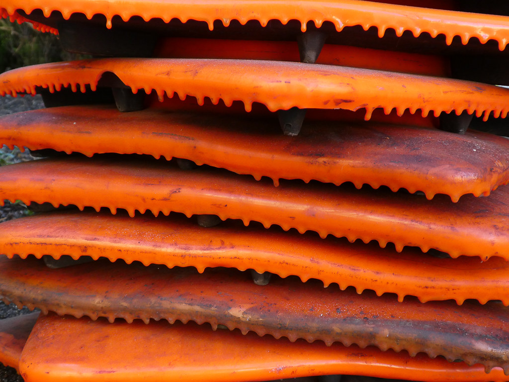
Cone Drips

Proficient dive bomber - Forster's Tern
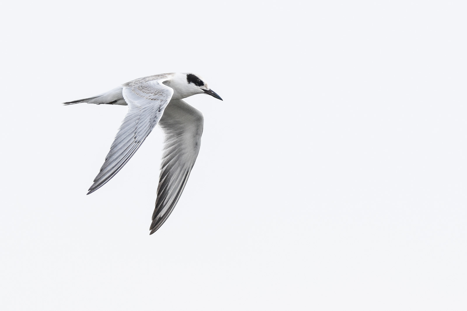
Forster's Tern (1st year)
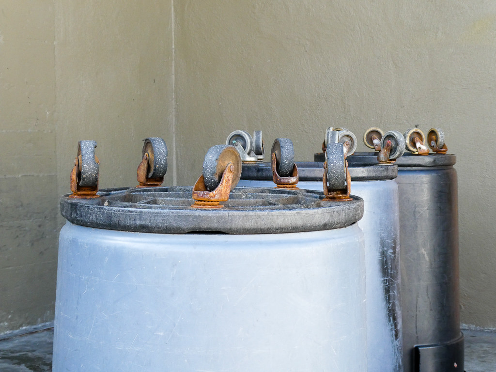
Wheels Up

DSC01246.JPG

IMG_6686 Great Egret, Mountain View Shoreline Park, CA

Red On Purple

Heavenly shades of night are falling, it's twilight time ...

Heavenly Shades of Night are Falling -- Reprise

Home on the Farm

Arastradero Pasture

Mustard field
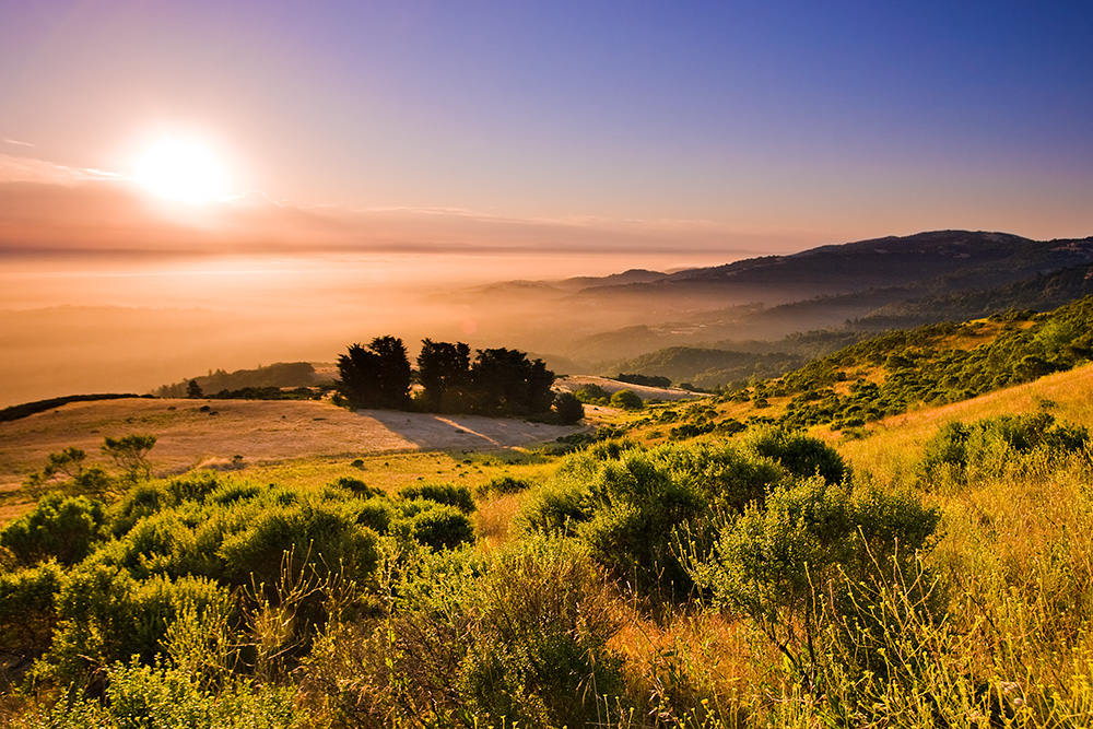
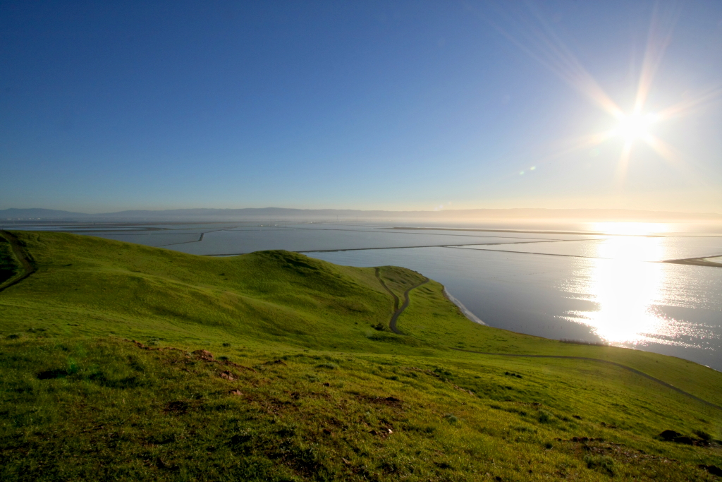
Skyline Sunrise

Alle Fotos-58
Purisima Creek
grassy hill

Redwood Shores

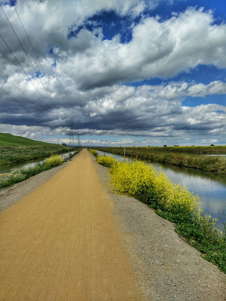
April Skies | Palo Alto
Power Meets Power

Gentle Afterglow
Luxury Real Estate at 12500 Corbetta Lane Los Altos Hills California
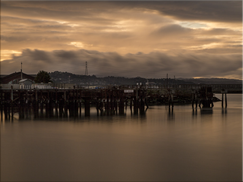
No Wake

Marsh Wren

Fields of Gold

Tree in Yellow Field
Cotoye Hills Regional Park 11.jpg

~~Garden of PEACE #2~~
Yesterday afternoon stroll.
Topographic Map of Derry Ln, Menlo Park, CA, USA
Find elevation by address:

Places near Derry Ln, Menlo Park, CA, USA:
1264 Mills St
Menlo Park
460 Ravenswood Ave
151 Stone Pine Ln
300 Arden Rd
24 De Bell Dr
856 Partridge Ave
905 San Mateo Dr
65 El Camino Real
Linfield Oaks
Atherton
2 Ashfield Rd, Atherton, CA, USA
47 Willow Rd
Stanford Shopping Center
Lindenwood
90 Lloyden Dr
542 Marsh Rd
West Atherton
32 Rosewood Dr
883 Fifteenth Ave
Recent Searches:
- Elevation of Corso Fratelli Cairoli, 35, Macerata MC, Italy
- Elevation of Tallevast Rd, Sarasota, FL, USA
- Elevation of 4th St E, Sonoma, CA, USA
- Elevation of Black Hollow Rd, Pennsdale, PA, USA
- Elevation of Oakland Ave, Williamsport, PA, USA
- Elevation of Pedrógão Grande, Portugal
- Elevation of Klee Dr, Martinsburg, WV, USA
- Elevation of Via Roma, Pieranica CR, Italy
- Elevation of Tavkvetili Mountain, Georgia
- Elevation of Hartfords Bluff Cir, Mt Pleasant, SC, USA