Elevation of Palm Ave, Anderson, CA, USA
Location: United States > California > Shasta County > Happy Valley >
Longitude: -122.40833
Latitude: 40.4469684
Elevation: 235m / 771feet
Barometric Pressure: 99KPa
Elevation Map:
Satellite Map:
Related Photos:

Self Portrait - 1
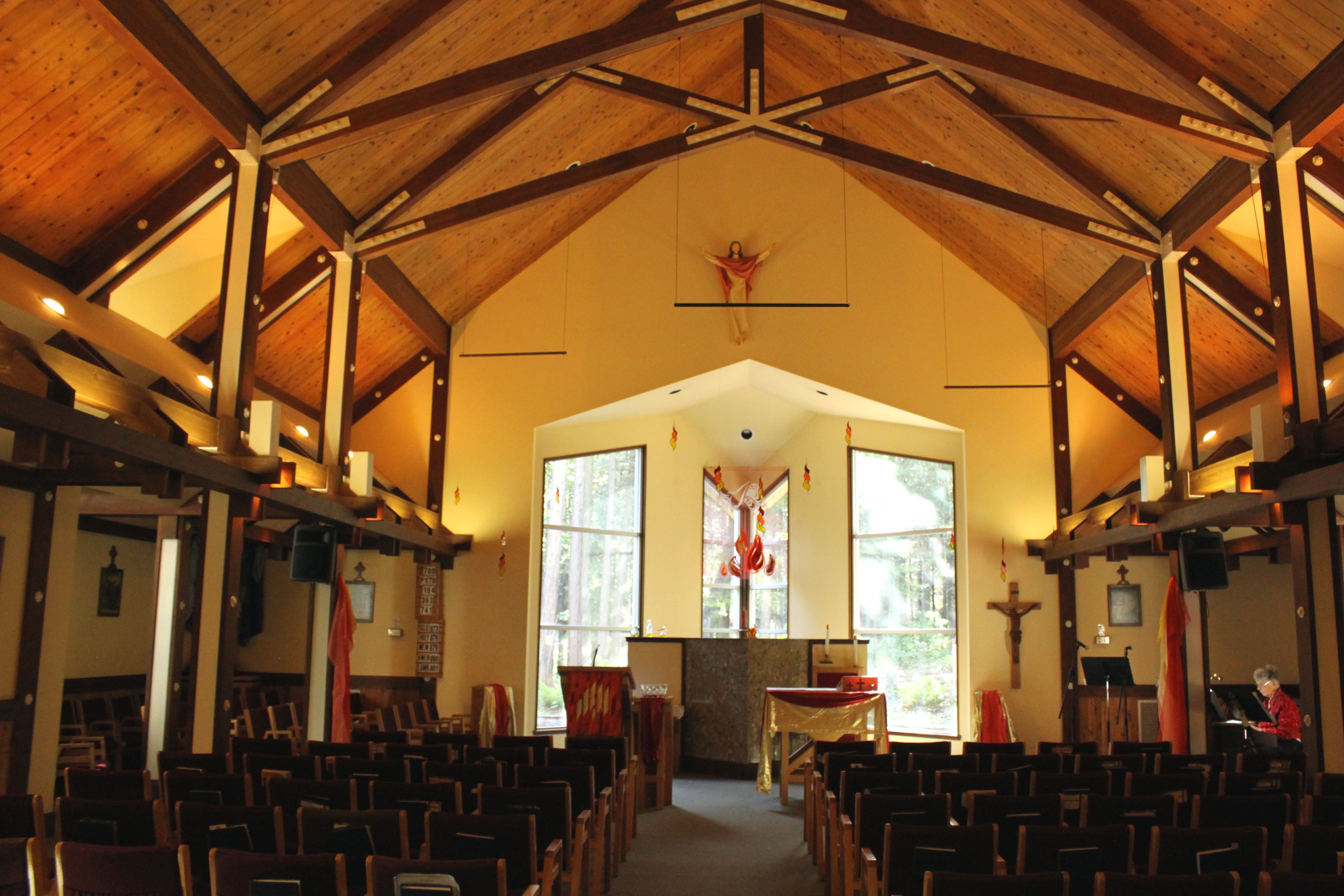
Our Lady of Mercy Parish

Self Portrait - 3
O'B (5)

Self Portrait - 2

UP9921-9900-9924

Redding, CASD59MX-UP 9900
O'B (7)

OZ (2)

View of mom's house as I left. #theknottyknitter
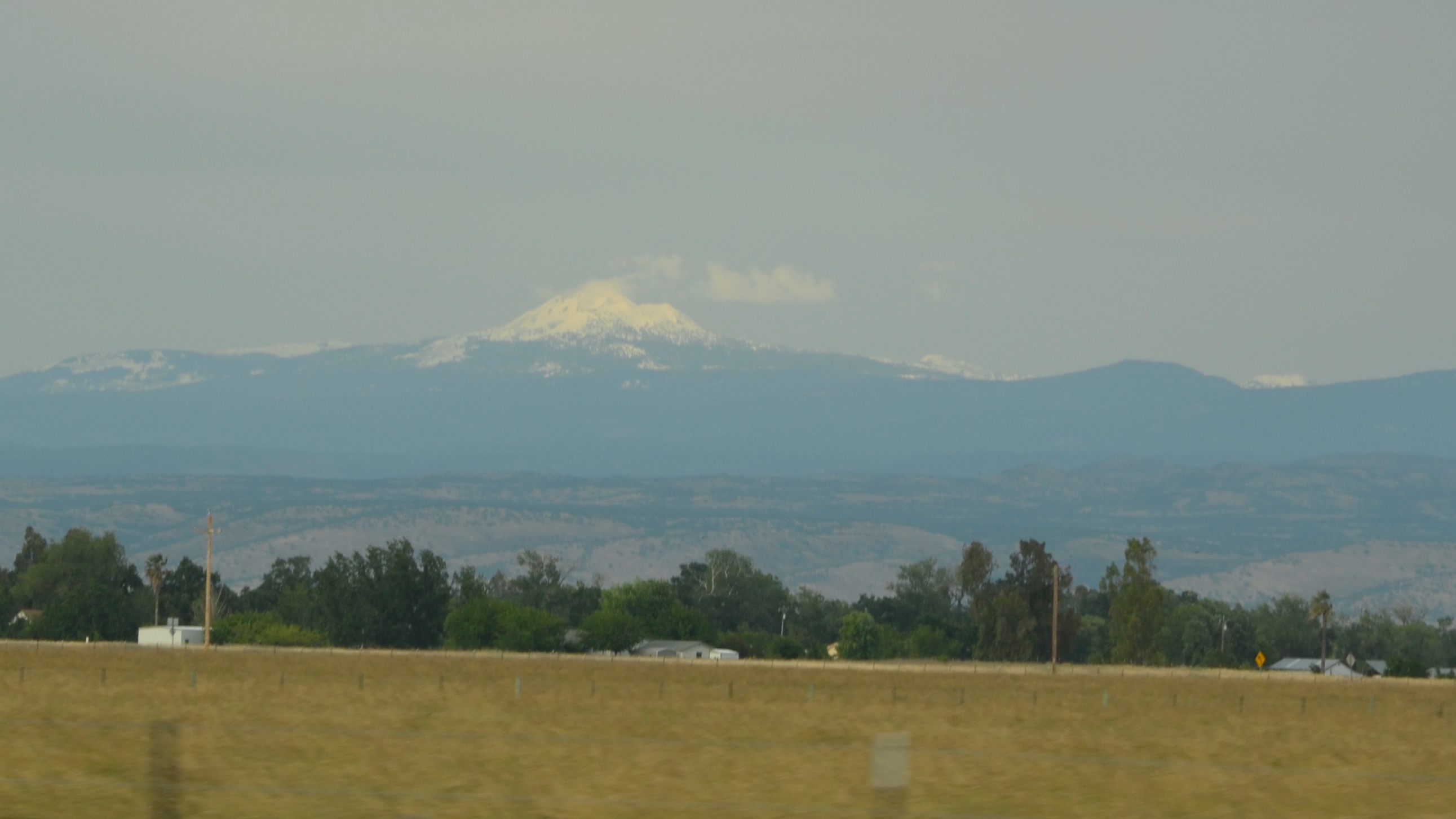
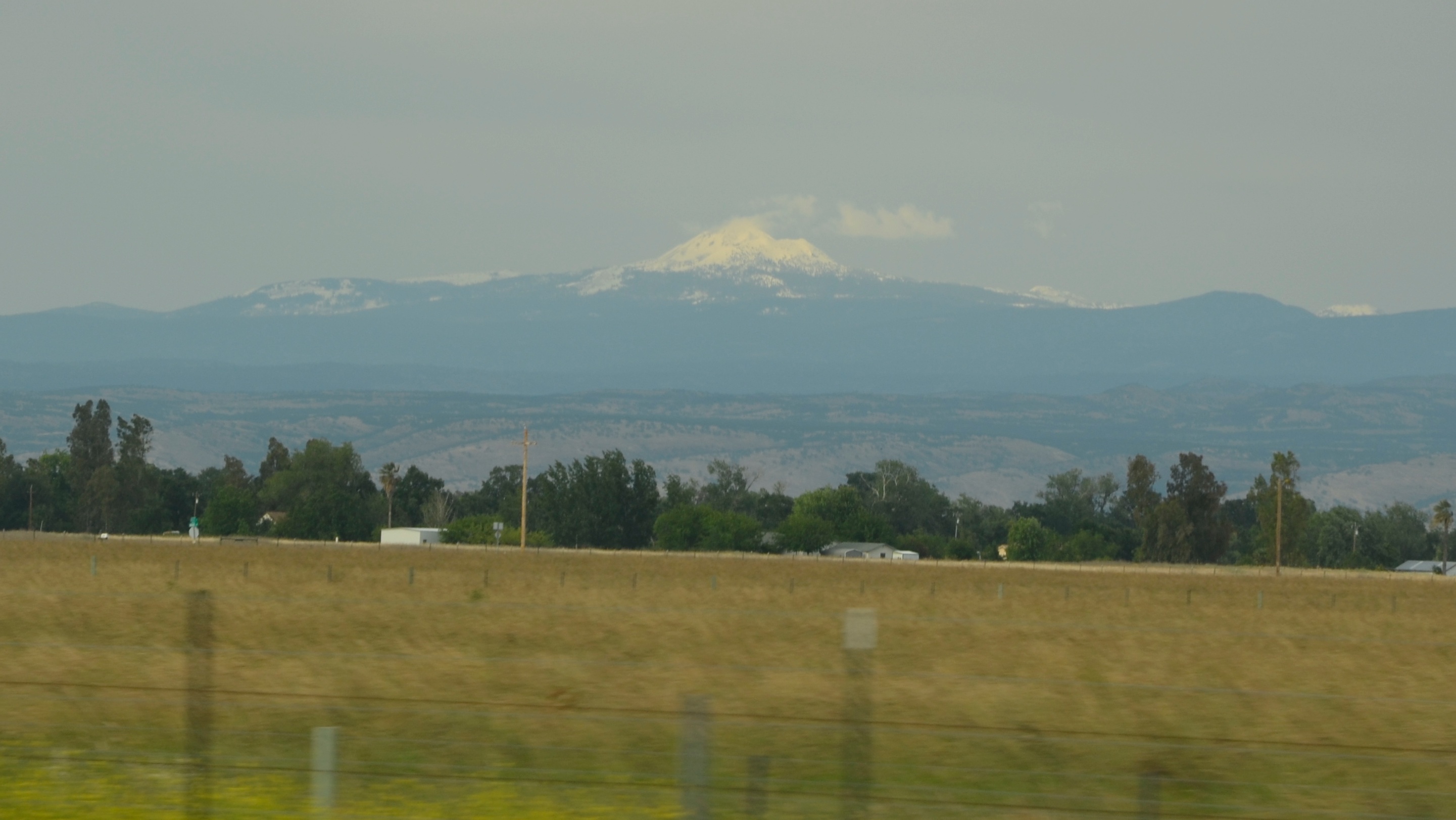
A perfect view of #MtShasta to end the weekend.

Redding,CA Fire Station 3

63/365: Redding Sun

Peace on the lake
Morning View
O'B (20)

View at Sweetie Cafe today. #theknottyknitter #logcabin #loghouse #gingerbreadhouse

Chiropractic First (530) 243-0889
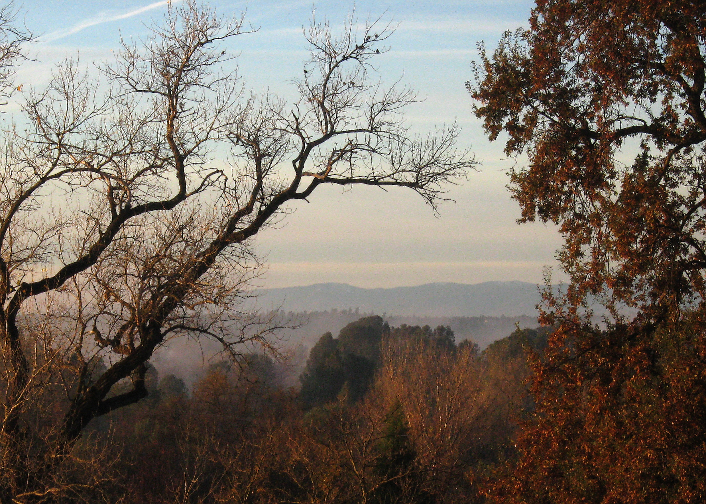
Redding morning

O'B (4)
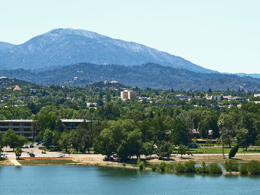
A View of Redding, California

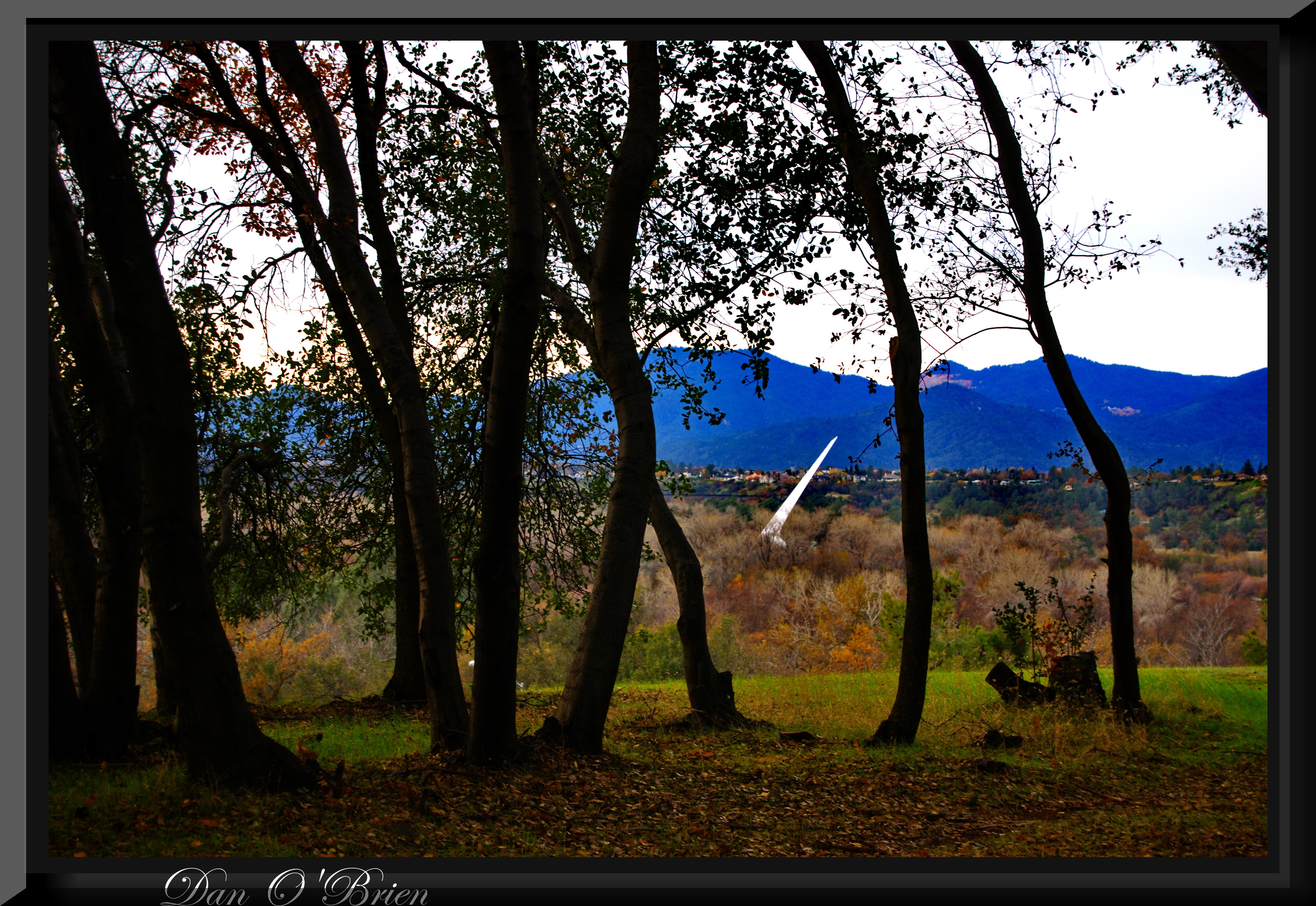
Sundial Bridge Detail

Redding-19

Sundial Bridge Detail
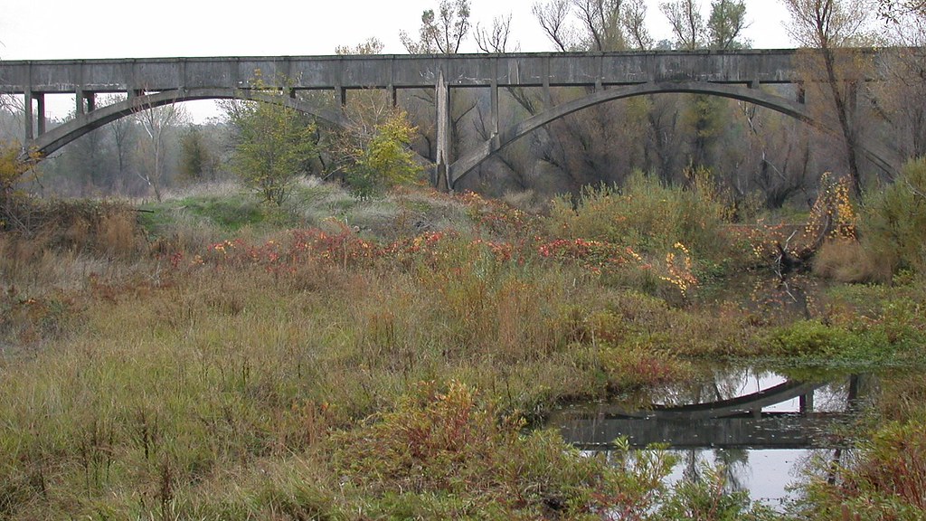
Clear Creek, near Redding

Corn field
Looking West in Redding
Clear Creek

Mylitta Crescent
Burney falls
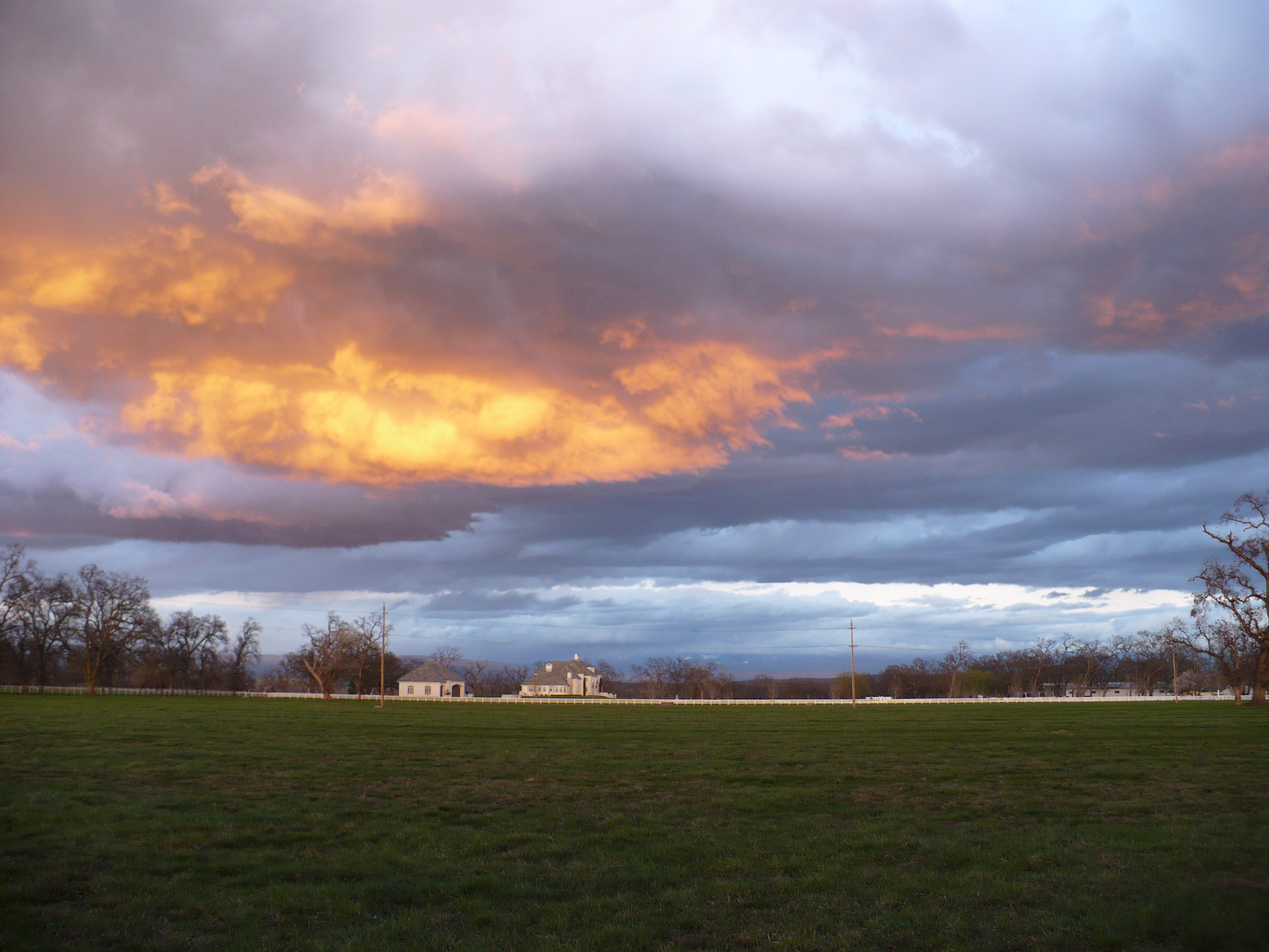
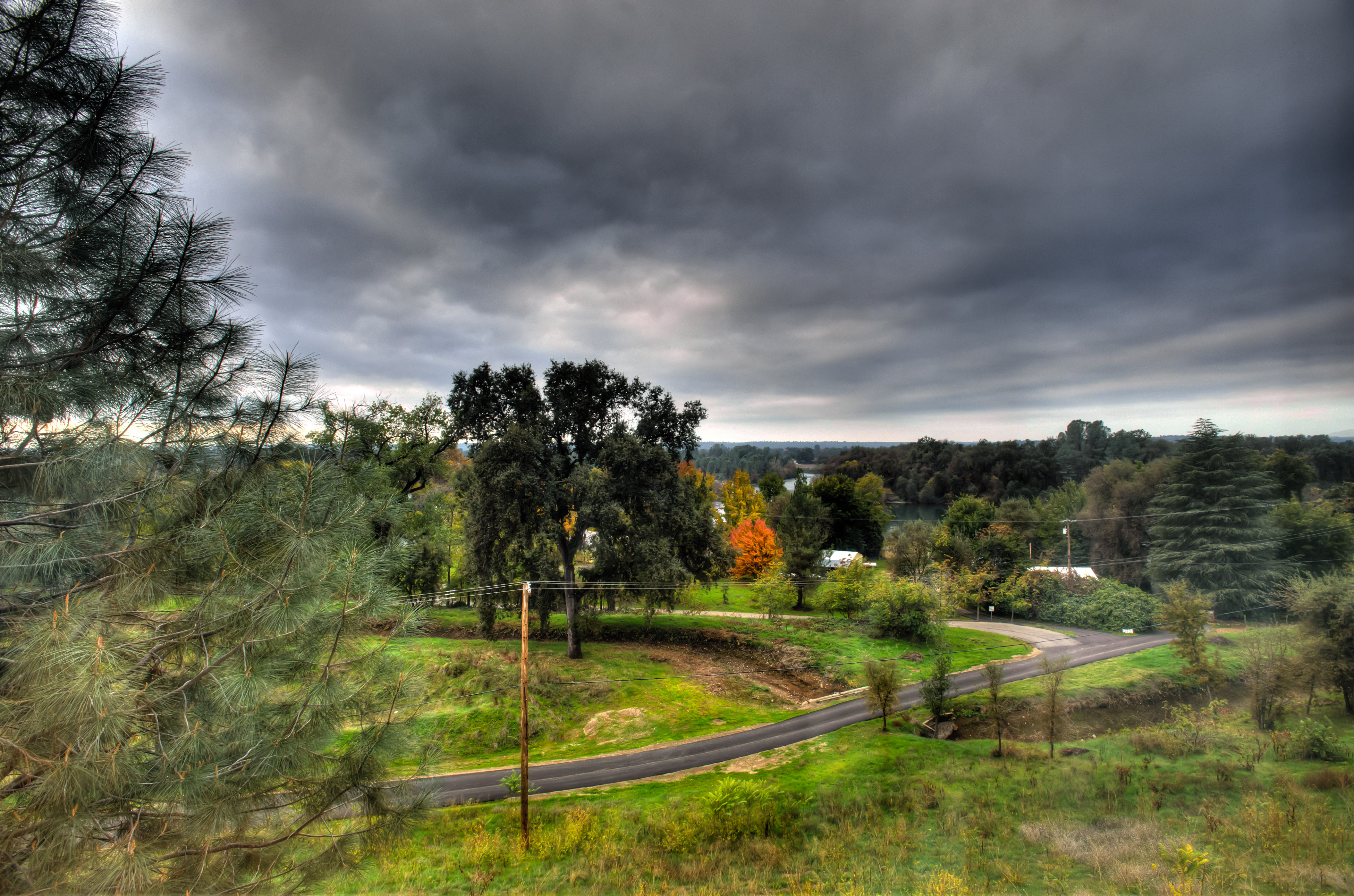
Passing storm

Greg Hawes

Historic Hawes Farms
Anderson Aquaduct_07
San Francisco 2011
San Francisco 2011
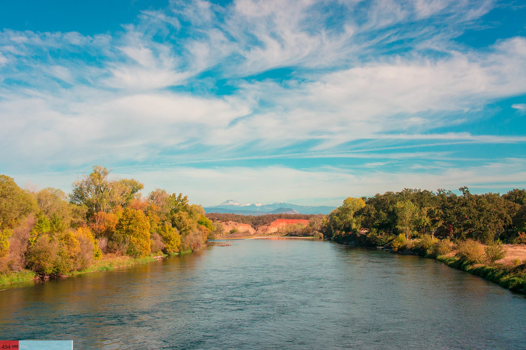
A Wispy River Tale

Greg Hawes
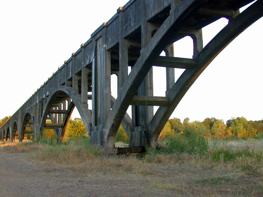
Anderson Aquaduct_03
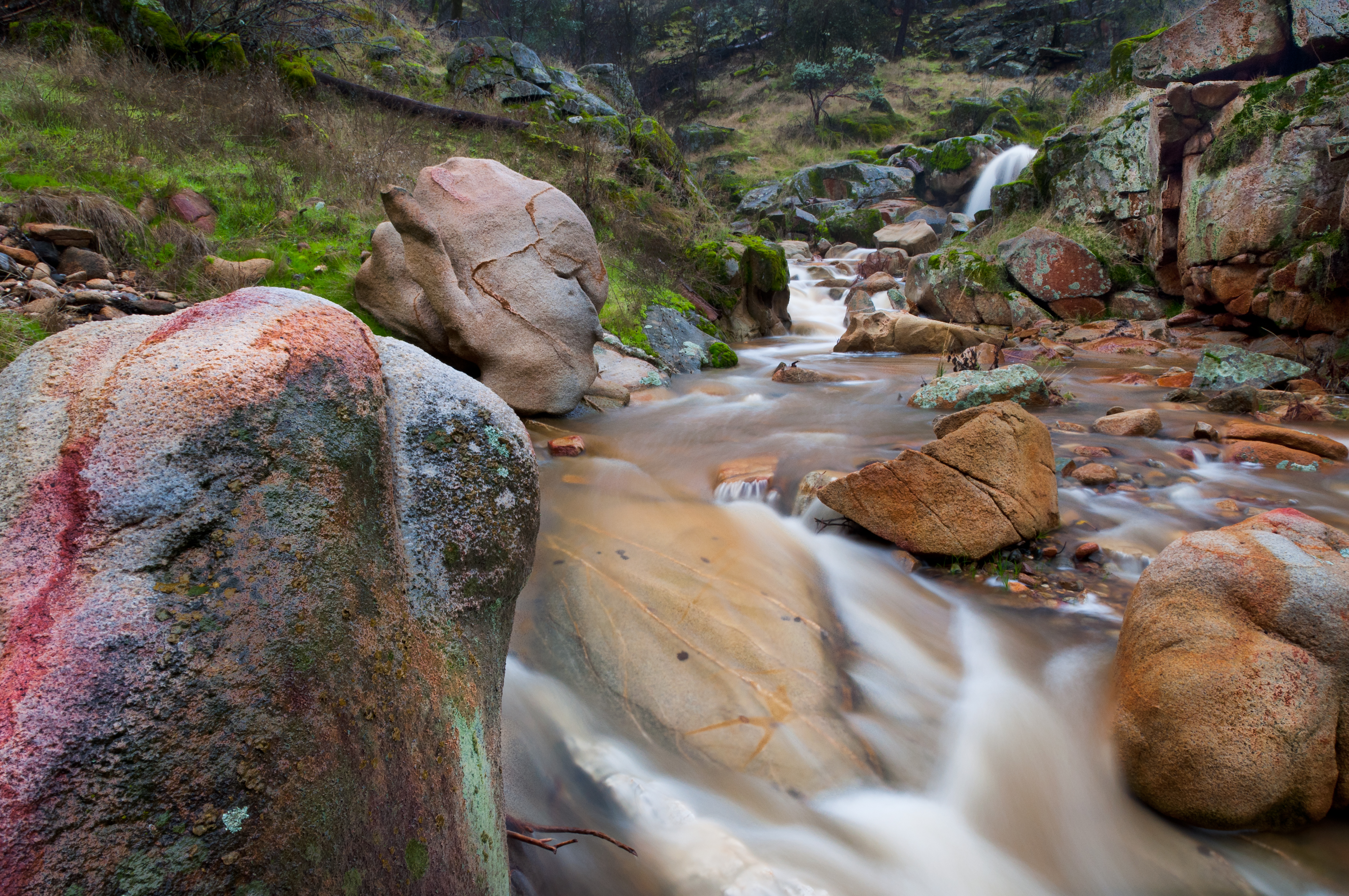
Colors of Piety Falls

Placer sunset
Topographic Map of Palm Ave, Anderson, CA, USA
Find elevation by address:

Places near Palm Ave, Anderson, CA, USA:
Happy Valley Rd, Anderson, CA, USA
Happy Valley
17625 Karin Ln
17693 Flowers Ln
5691 Olive St
16574 Palm Ave
6905 Happy Valley Rd
18744 Overland Dr
6438 Heavenly Valley Ln
5073 Nippy Ln
Gore Ranch
Eastside Rd, Redding, CA, USA
Sav•mor Foods
2098 Wilder Dr
Girvan
18091 Texas Springs Rd
20091 Texas Springs Rd
6339 Mullen Pkwy
7925 Deer Hollow Ct
Allen's Golf Course
Recent Searches:
- Elevation of Corso Fratelli Cairoli, 35, Macerata MC, Italy
- Elevation of Tallevast Rd, Sarasota, FL, USA
- Elevation of 4th St E, Sonoma, CA, USA
- Elevation of Black Hollow Rd, Pennsdale, PA, USA
- Elevation of Oakland Ave, Williamsport, PA, USA
- Elevation of Pedrógão Grande, Portugal
- Elevation of Klee Dr, Martinsburg, WV, USA
- Elevation of Via Roma, Pieranica CR, Italy
- Elevation of Tavkvetili Mountain, Georgia
- Elevation of Hartfords Bluff Cir, Mt Pleasant, SC, USA