Elevation of Heavenly Valley Ln, Anderson, CA, USA
Location: United States > California > Shasta County > Happy Valley >
Longitude: -122.46444
Latitude: 40.47162
Elevation: 264m / 866feet
Barometric Pressure: 98KPa
Elevation Map:
Satellite Map:
Related Photos:

Sundial Bridge at Turtle Bay (II)

Self Portrait - 3

Self Portrait - 2

Bald Eagle with Fish in Talons - This is "Liberty", the female of the nesting pair at Turtle Bay, Redding, California

Sundial Bridge at Turtle Bay
Sundial Bridge in September

Sundial Bridge Lightning, The Sundial Bridge, Redding, CA

Sunset over Sacramento River
O'B (5)

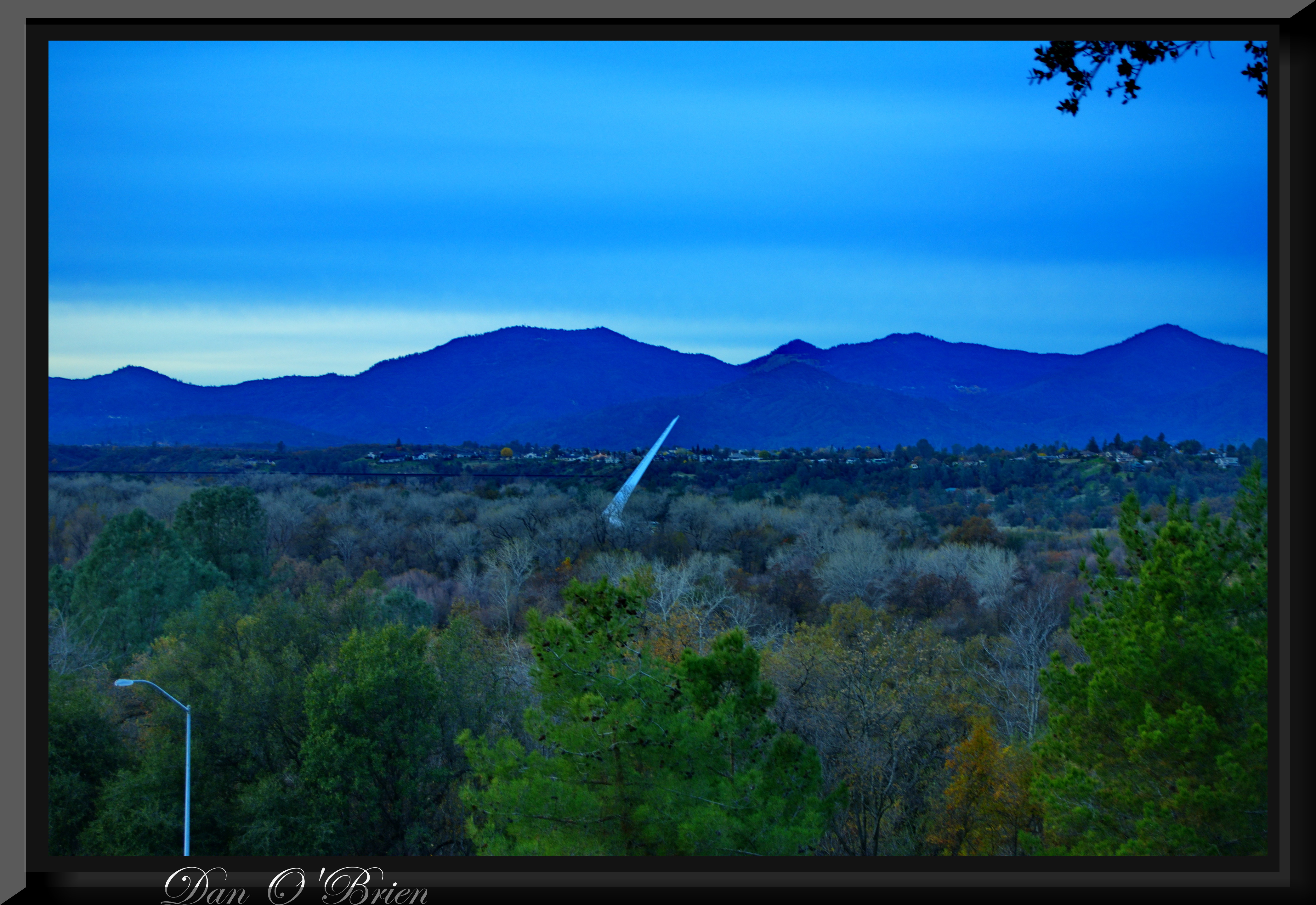
Sundial in Blue

Calatrava's Sundial Bridge, Redding, California

Self Portrait - 1

UP9921-9900-9924

Redding, CASD59MX-UP 9900

Sundial Bridge at Turtle Bay Exploration Park facing Sacramento River west view in Redding, California.
O'B (7)

Sundial Bridge at Turtle Bay Exploration Park facing southeast view in Redding, California.

Sundial Bridge at Turtle Bay Exploration Park facing west view in Redding, California.
A perfect view of #MtShasta to end the weekend.

Redding,CA Fire Station 3
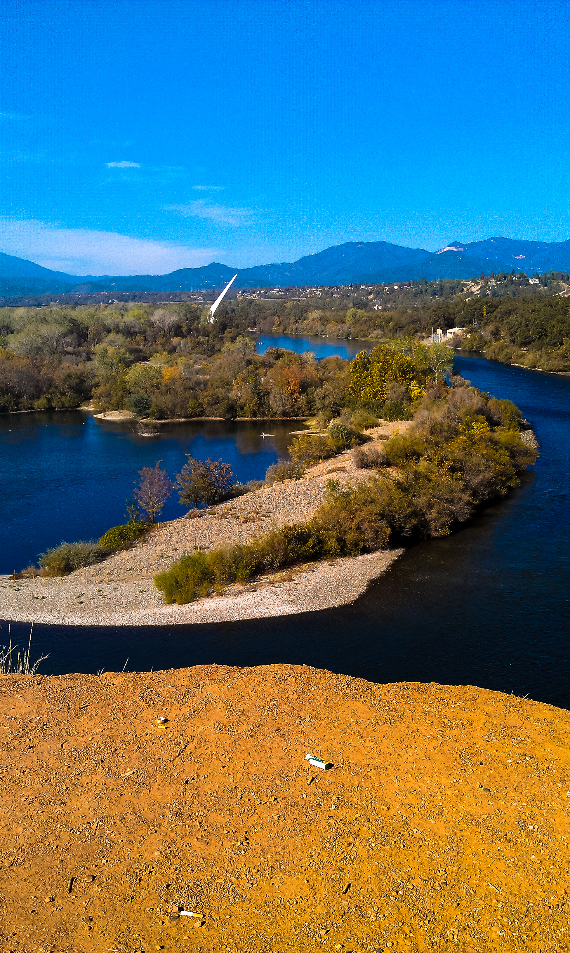
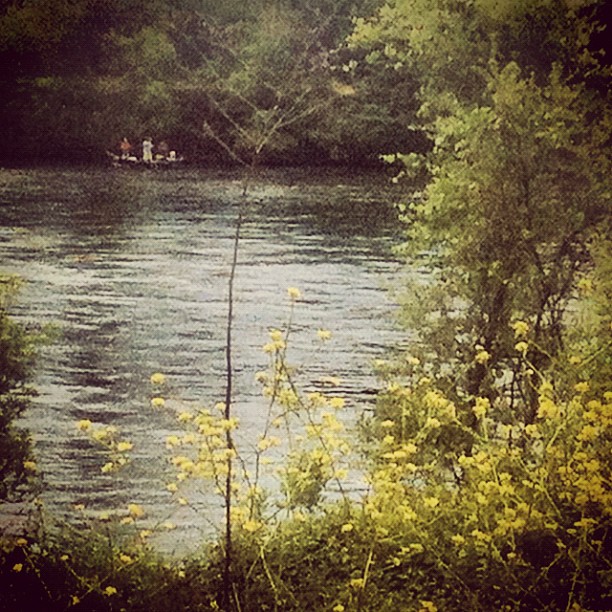
Sacramento River - Redding, CA
Sundial Bridge Redding Ca.
Clear Creek

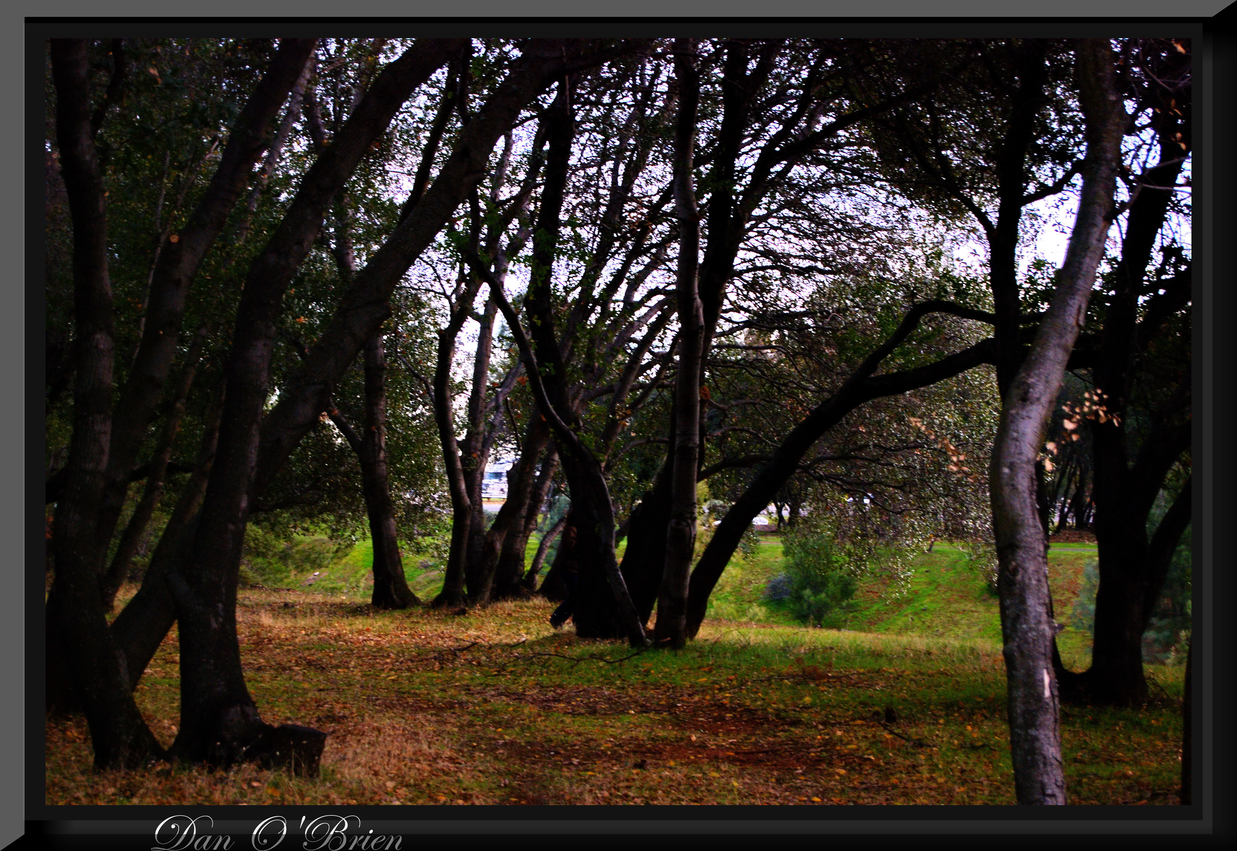
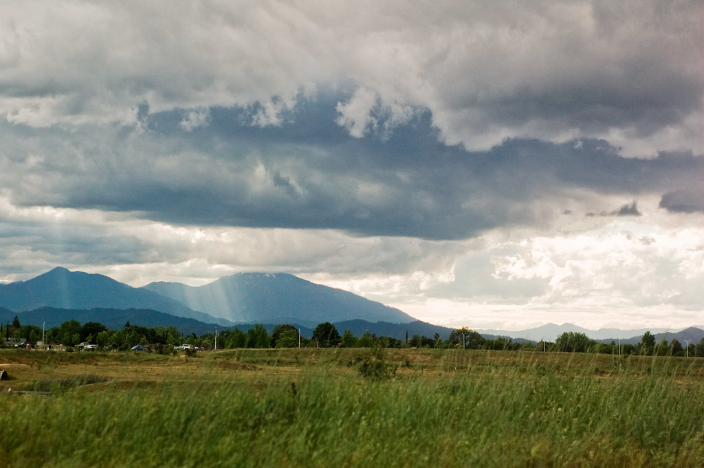
Trees and Field

Whiskeytown Lake Sunset [04.02.13]
Turtle Bay

Sunset at the Sundial Bridge
#redding #water #art #iphoneography #photooftheday #instagood #iphone #ig #california #jj #love #igers #sky #instagramhub #instamood #tweetagram #popular #bestoftheday #picofthegram #cute #photography #igdaily #me #sunrise #girl #instadaily #sunset #dog #

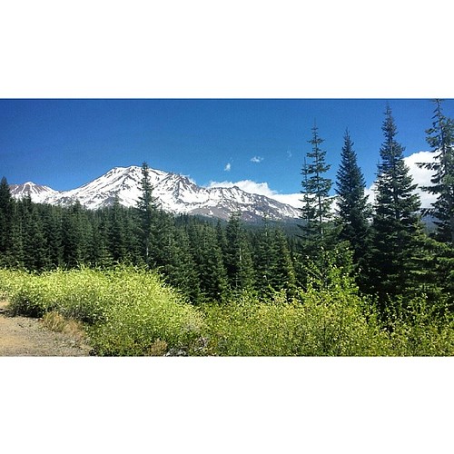
Mount Shasta

Red Along a River

Sundial Bridge Detail
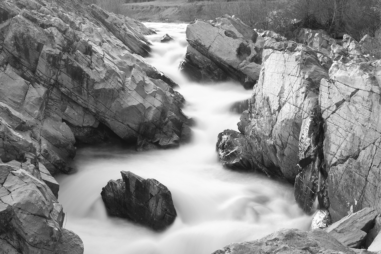
Clear Creek, near Redding

Redding-19

Whiskeytown Lake Panorama [04.02.13]

Flower Save the Hours
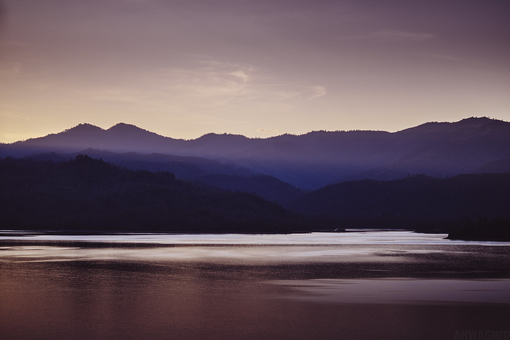
Whiskeytown Lake Sunset [04.02.13]
Looking West in Redding

Sundial Bridge.-70
Topographic Map of Heavenly Valley Ln, Anderson, CA, USA
Find elevation by address:

Places near Heavenly Valley Ln, Anderson, CA, USA:
15237 Cloverdale Rd
16574 Palm Ave
5691 Olive St
15140 Diggins Way
14824 Cloverdale Rd
16091 Texas Springs Rd
14850 Small Farms Rd
7925 Deer Hollow Ct
7933 Deer Hollow Ct
15819 Texas Springs Rd
14677 Small Farms Dr
15711 Texas Springs Rd
15068 Diggins Way
15068 Diggins Way
15068 Diggins Way
8213 Kramer Ct
15957 Montgomery Ranch Rd
14388 Cloverdale Rd
8309 Muscat Ct
Grant
Recent Searches:
- Elevation of Corso Fratelli Cairoli, 35, Macerata MC, Italy
- Elevation of Tallevast Rd, Sarasota, FL, USA
- Elevation of 4th St E, Sonoma, CA, USA
- Elevation of Black Hollow Rd, Pennsdale, PA, USA
- Elevation of Oakland Ave, Williamsport, PA, USA
- Elevation of Pedrógão Grande, Portugal
- Elevation of Klee Dr, Martinsburg, WV, USA
- Elevation of Via Roma, Pieranica CR, Italy
- Elevation of Tavkvetili Mountain, Georgia
- Elevation of Hartfords Bluff Cir, Mt Pleasant, SC, USA