| Latitude: | 40.5268078 |
|---|---|
| Longitude: | -122.4874538 |
| Elevation: | 321 meters / 1053 feet |
| Barometric Pressure | 975KPa |
Related Photos

Shasta Trinity National Forest

Shasta_0138d

Redding Trestle Heritage

SundialBridge_4871
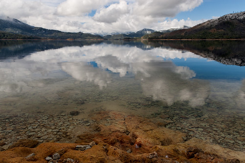
Heaven Came Down
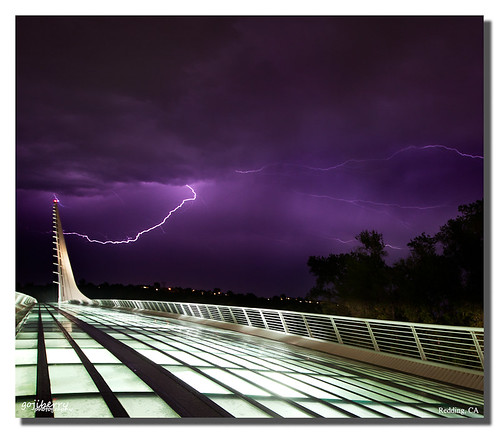
Sundial Bridge Lightning, The Sundial Bridge, Redding, CA

LunaEclipse_4802
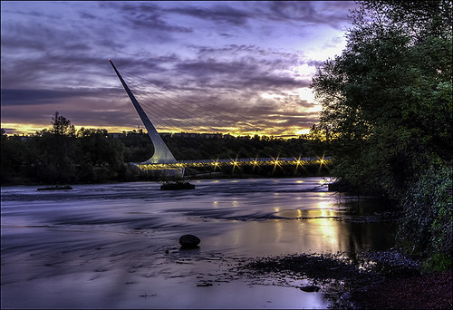
Calatrava's Sundial Bridge, Redding, California

LunaEclipse_4839
![Brandy Creek Falls [04.02.13], california ca trees mountains nature water pine creek forest canon landscape eos waterfall woods pretty wide scenic falls clear national waterfalls valley norcal westcoast f28 recreational ultrawideangle 14mm 14l f28l areanational 5dmkiii 5dmk3 5d3 5dmarkiii 5dmark3 anglewhiskeytown arearecreational areawhiskeytown lakewhiskeytownbrandy creekbrandy](https://live.staticflickr.com/7409/8730318506_1ba9c4d363.jpg)
Brandy Creek Falls [04.02.13]

Learning to Glow

Chiropractic First (530) 243-0889
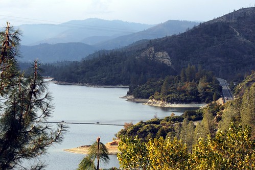
Whiskeytown Lake
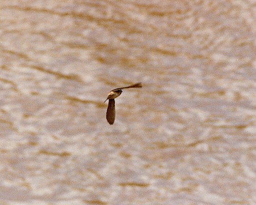
Cliff Swallow Redding 1991 7

Outcast

Lauren

Mt. Shasta
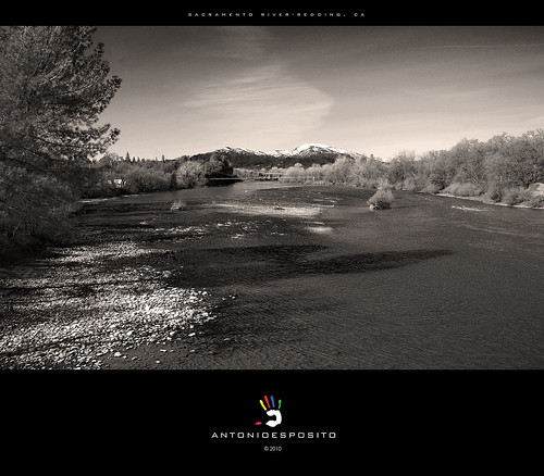
Sacramento River - Redding, CA

View at Sweetie Cafe today. #theknottyknitter #logcabin #loghouse #gingerbreadhouse

California Winter

Aerial, Clear Creek Phase 3C
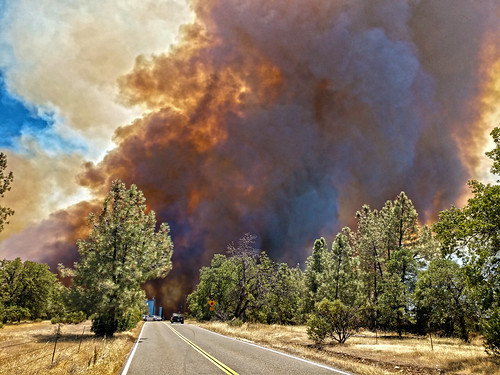
Smoke!
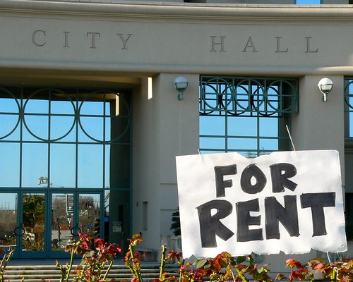
OFFICE SPACE AVAILABLE

FOOTBALL SEASON ON THE LOWER SACRAMENTO RIVER
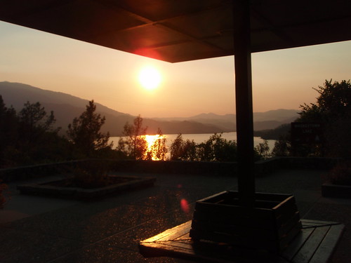
Whiskeytown Lake

Sundial Bridge walking platform from below

View from Sundial Bridge.

Interstate 5 Northbound Shasta Valley Freeway - Cascade Wonderland Highway approaches at Exit 680 - State Highway Junction Route CA-299 Lake Blvd. (Exit Ramp 50 MPH - Intersection Traffic Signal Lights Ahead at this Exit Off-Ramp) followed by

State Highway Junction Route CA-44 Eastbound Redding Freeway EAST Palo Cedro, Shingletown, Lassen National Park and Susanville Keep Left approaching Exit 2A - Interstate 5 Shasta Valley Freeway - Cascade Wonderland Highway SOUTH Sacramento Keep Right

After the Storm - Downtown Redding, California, USA

Carr Fire View from Downtown Redding Panorama
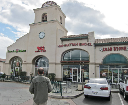
California - Viewed by an Oregonian
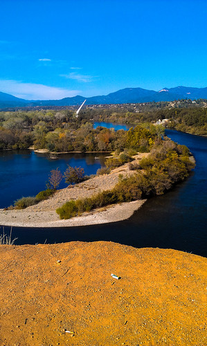
Sundial Bridge in September
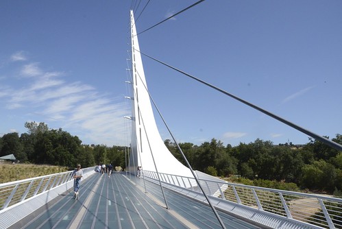
Redding: Sundial Bridge

State Highway Junction Route CA-44 Eastbound Redding Freeway EAST Palo Cedro, Shingletown, Lassen National Park and Susanville Keep Left approaches at Exit 2A - Interstate 5 Shasta Valley Freeway - Cascade Wonderland Highway SOUTH Sacramento Keep Right

State Highway Junction Route CA-44 Eastbound Redding Freeway EAST Palo Cedro and Shingletown Keep Left approaches at Exit 2B - Interstate 5 Shasta Valley Freeway - Cascade Wonderland Highway NORTH Weed, Yreka California, Portland Oregon (Exit Ramp 25 MPH)

FootBridge Over The Sacramento River
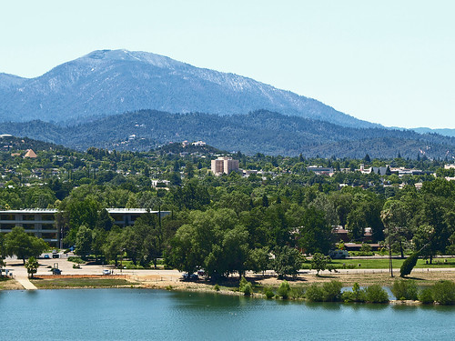
A View of Redding, California

Interstate 5 Southbound Shasta Valley Freeway - Cascade Wonderland Highway approaches at Exit 681B - State Highway Junction Route CA-273 Market Street SOUTH Downtown Redding followed by Exit 681A - Twin View Blvd. Next Right Exit 1/2 = 0.5 Mile Ahead

Carr Fire Plume from Downtown Redding

Sacramento River Late Afternoon
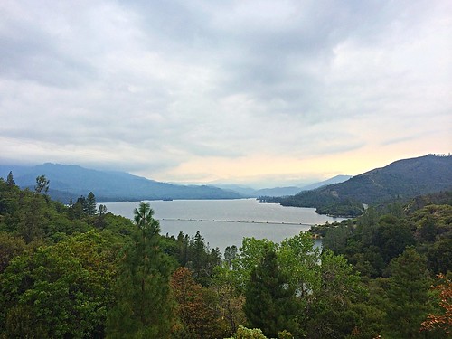
Whiskeytown Lake, California

UPAC-2080-1931-1980-1453

Park Lake

Whiskeytown Lake, California, USA

171124 Black Friday gold-001J

Lights/abstract
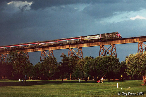
Almost there

There we go (Brandy Creek)
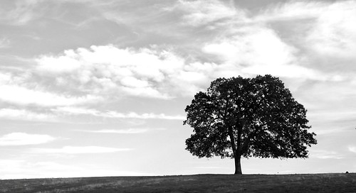
Tree silhouette