Elevation of Palestine, KS, USA
Location: United States > Kansas > Sumner County >
Longitude: -97.211360
Latitude: 37.3657109
Elevation: 361m / 1184feet
Barometric Pressure: 97KPa
Elevation Map:
Satellite Map:
Related Photos:
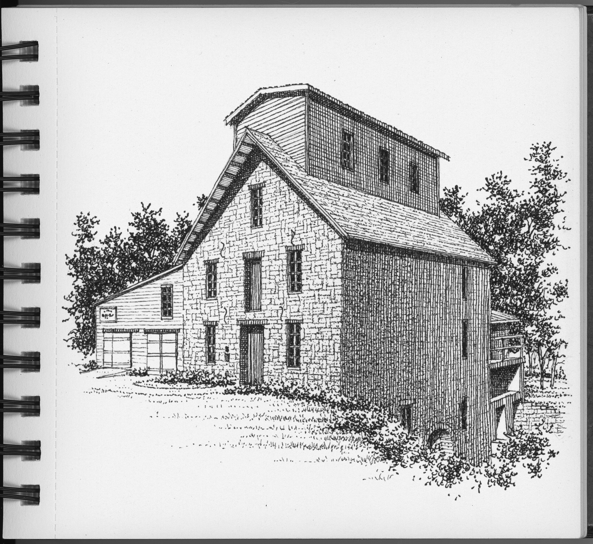
The Old Oxford Mill
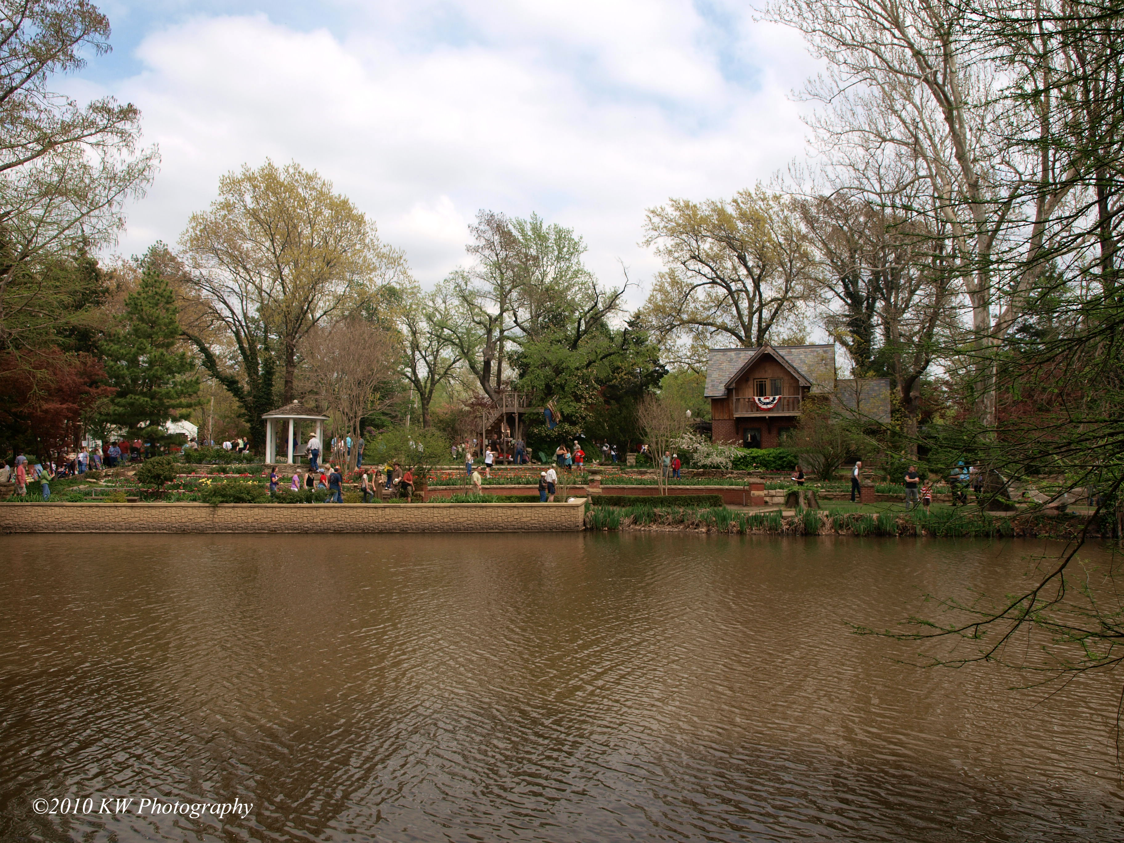
P4118195 copy
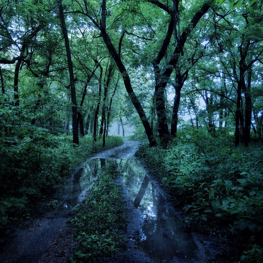
The Woods by the Old Mill
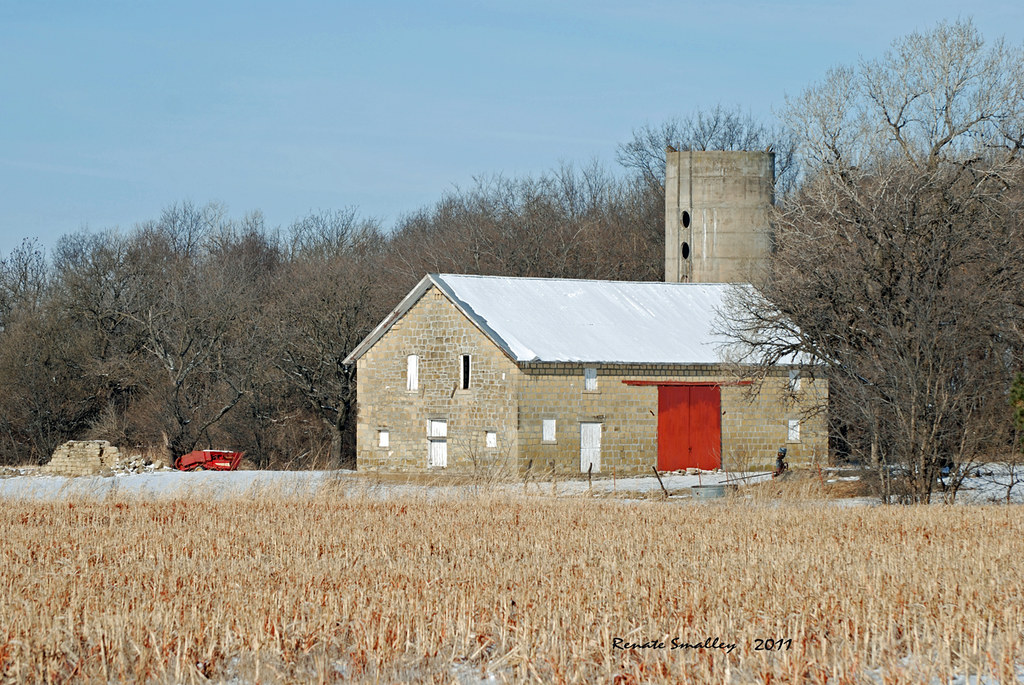
Limestone Barn
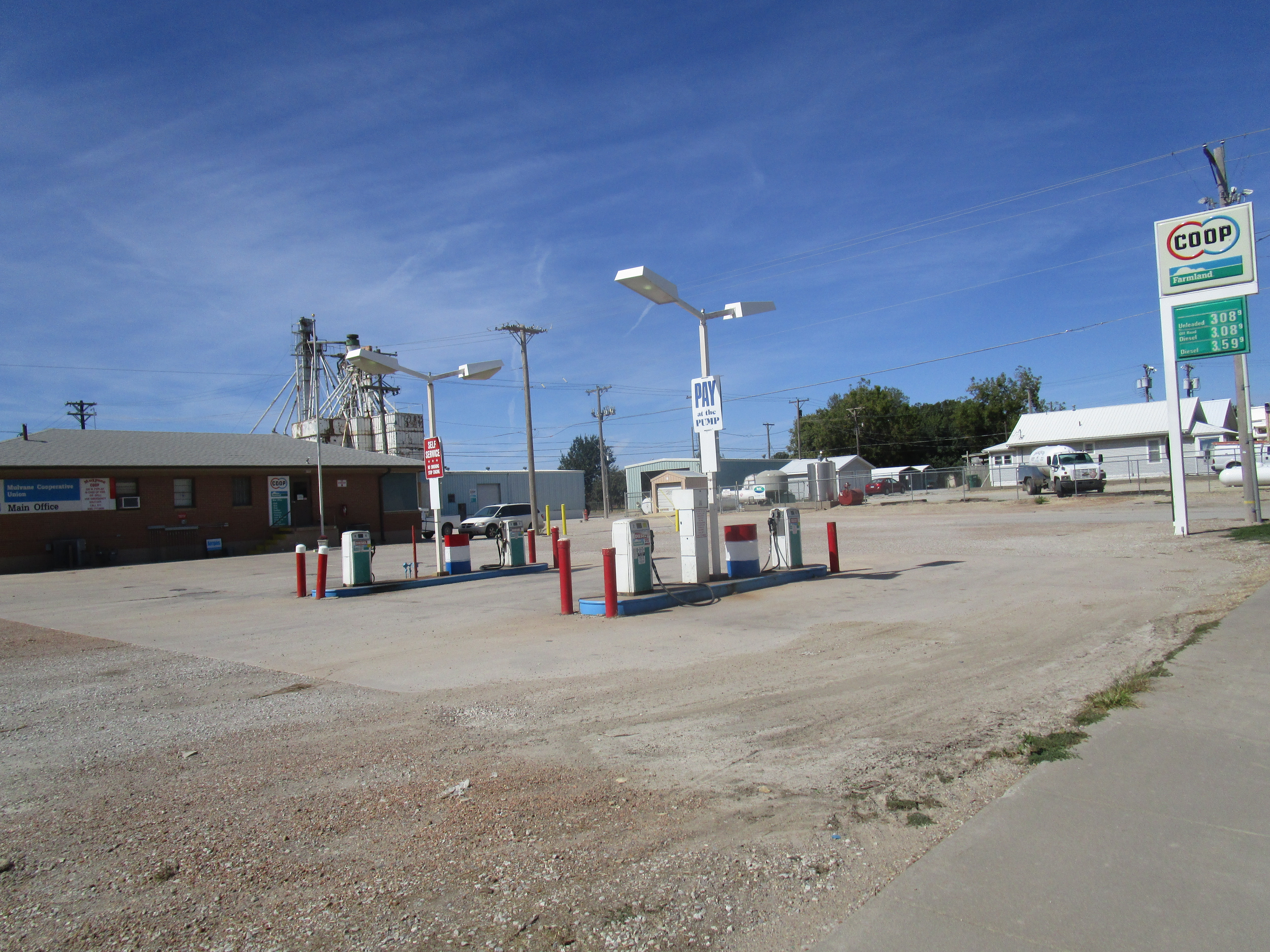
Mulvane Co-op
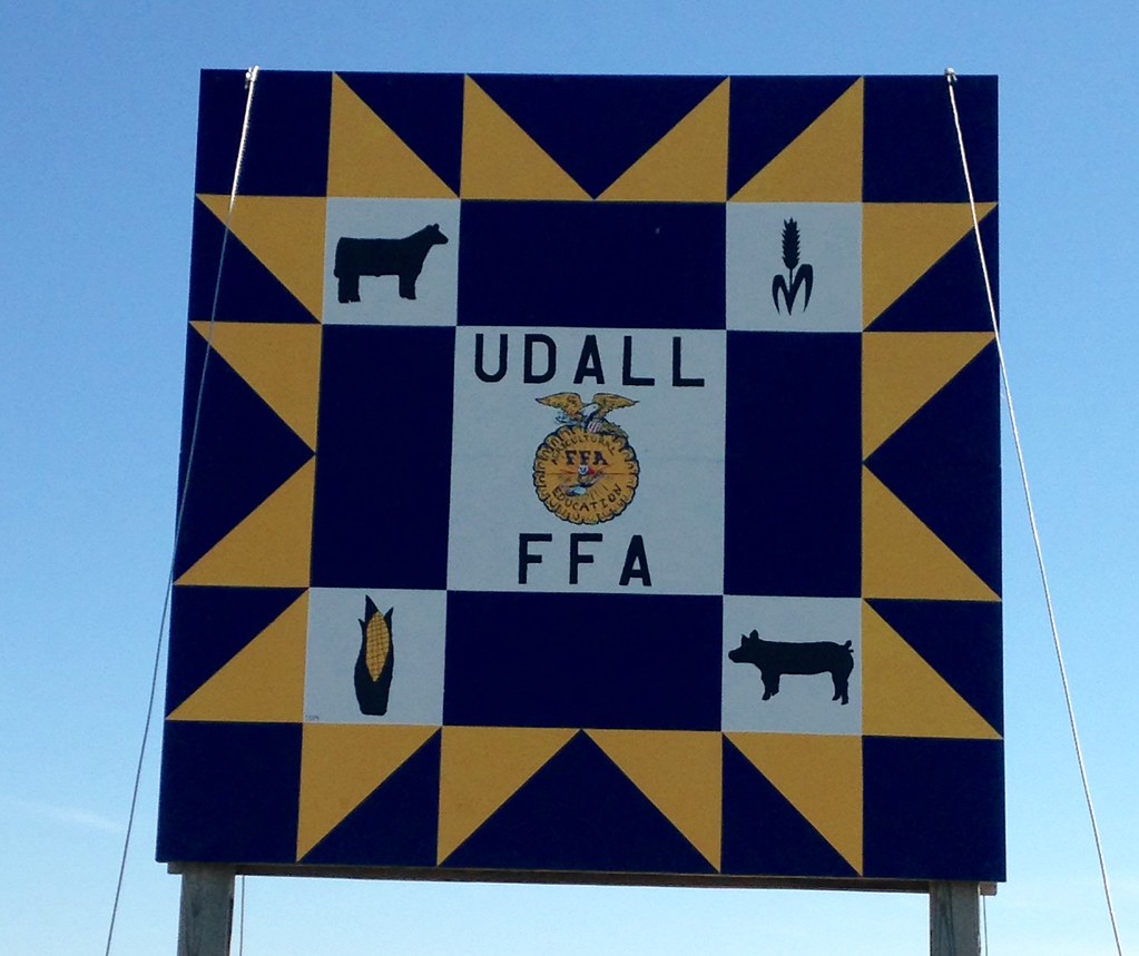
“Udall FFA”

2015 10 11 Sunday
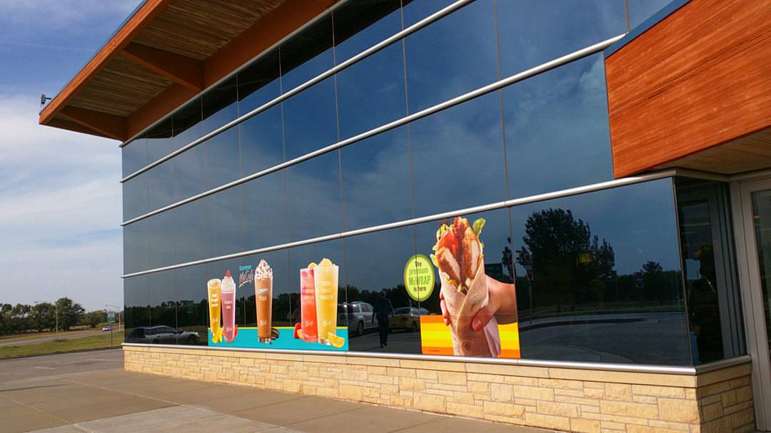
The fanciest McDonalds I've ever seen. #McDonalds #fancy #architcture
2015-08-23_15-04-31_0103
2015-08-23_15-03-51_0100
2015-08-23_15-03-47_0097

BNSF 6635 East

BNSF 8599 West
Wait. What? Did I miss the sequel? #sowrong
BNSF intermodal approaches Mulvane KS

Chisholm Trail in Sumner County Marker (Sumner County, Kansas)

Chisholm Trail in Sumner County Marker (Sumner County, Kansas)
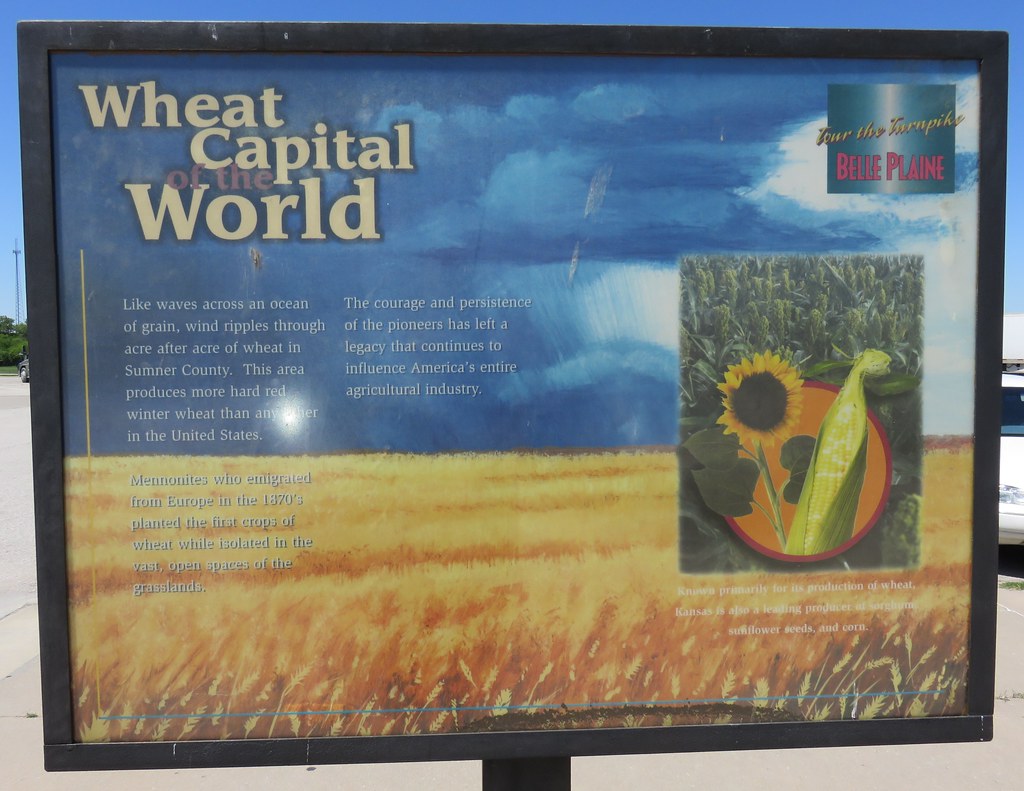
Wheat Capital of the World Marker (Sumner County, Kansas)
Little To Show
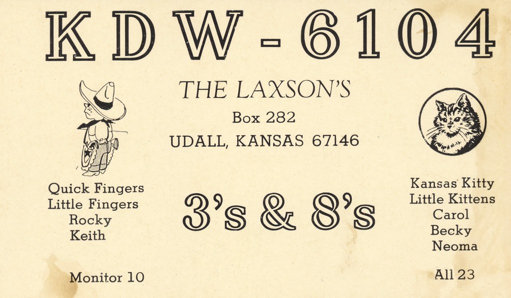
The Laxsos - Udall, Kansas
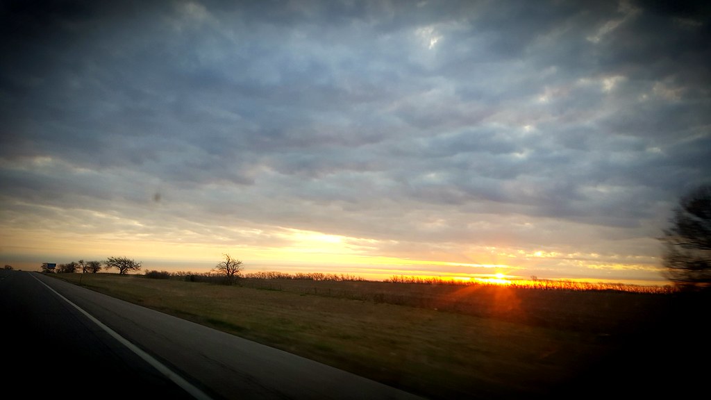
Going to Wichita
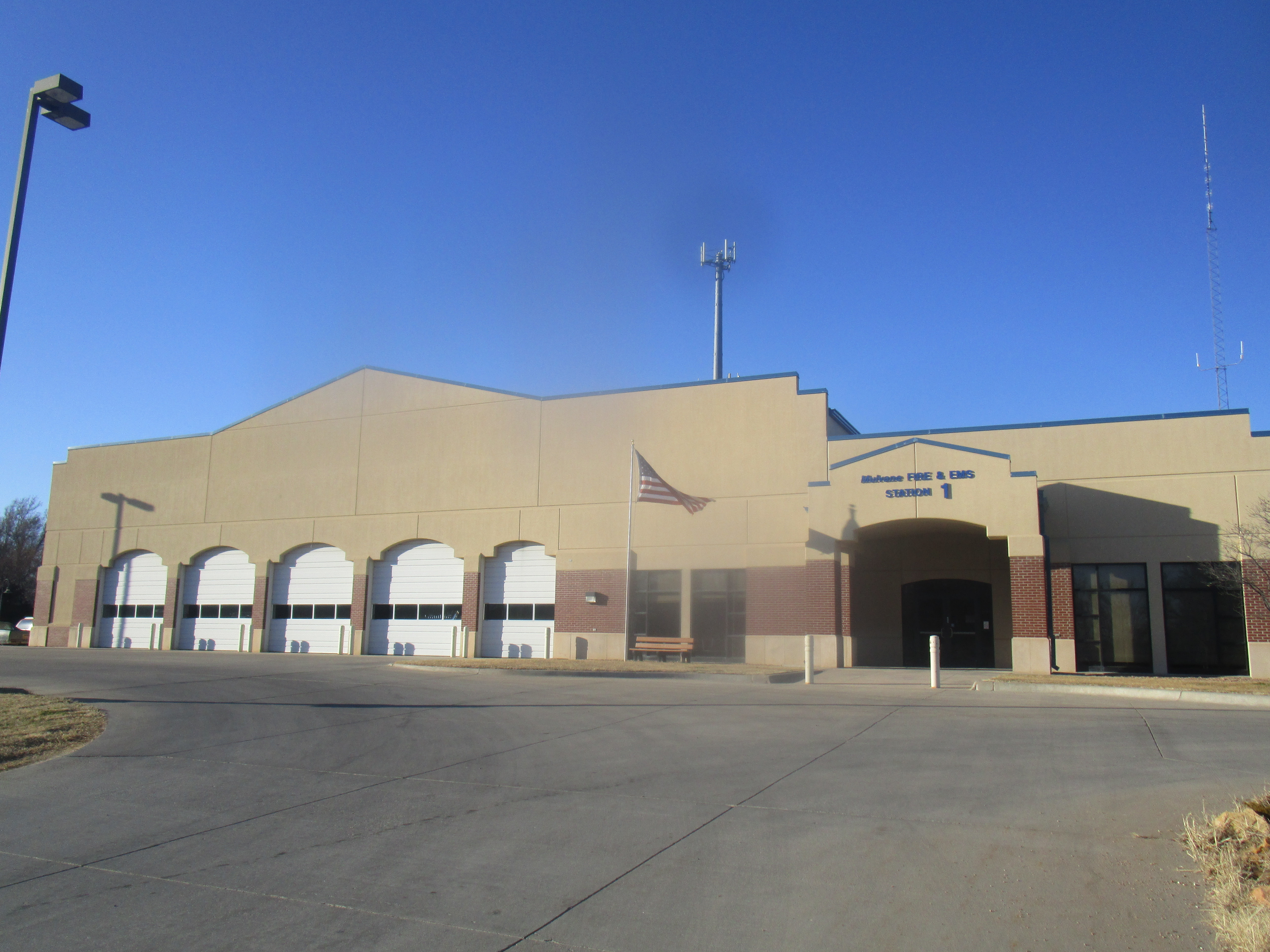
Mulvane Firehouse 1
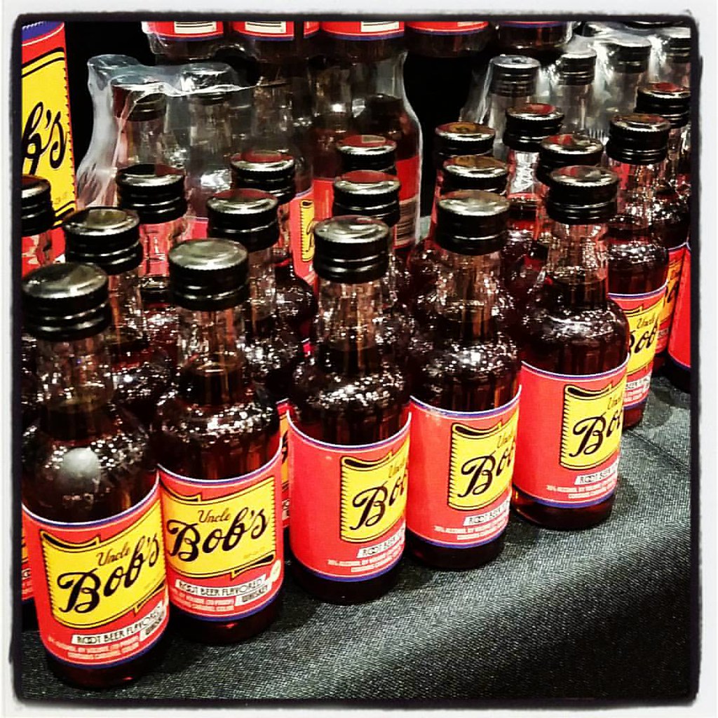
is in a room full of booze and this is my favorite so far! @UncleBobsWhiskey
Topographic Map of Palestine, KS, USA
Find elevation by address:

Places in Palestine, KS, USA:
Places near Palestine, KS, USA:
E 50th Ave N, Belle Plaine, KS, USA
1390 E 30th Ave N
N Merchant St, Belle Plaine, KS, USA
Belle Plaine
Oxford
Ninnescah
Udall
Oxford
Belle Plaine Township
Mulvane
East Louis Boulevard
1224 Louis Dr
1226 Louis Dr
1228 Louis Dr
1441 Autumn Valley
634 N Seneca Rd
23rd Rd, Winfield, KS, USA
Hampton Inn & Suites I-35/mulvane
Rockford
th Rd, Udall, KS, USA
Recent Searches:
- Elevation of Corso Fratelli Cairoli, 35, Macerata MC, Italy
- Elevation of Tallevast Rd, Sarasota, FL, USA
- Elevation of 4th St E, Sonoma, CA, USA
- Elevation of Black Hollow Rd, Pennsdale, PA, USA
- Elevation of Oakland Ave, Williamsport, PA, USA
- Elevation of Pedrógão Grande, Portugal
- Elevation of Klee Dr, Martinsburg, WV, USA
- Elevation of Via Roma, Pieranica CR, Italy
- Elevation of Tavkvetili Mountain, Georgia
- Elevation of Hartfords Bluff Cir, Mt Pleasant, SC, USA