Elevation of Mulvane, KS, USA
Location: United States > Kansas > Sedgwick County > Salem >
Longitude: -97.243932
Latitude: 37.474464
Elevation: 376m / 1234feet
Barometric Pressure: 97KPa
Elevation Map:
Satellite Map:
Related Photos:
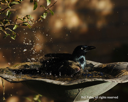
Common Grackle Bath _MG_0681R

beer bike
P4118195 copy
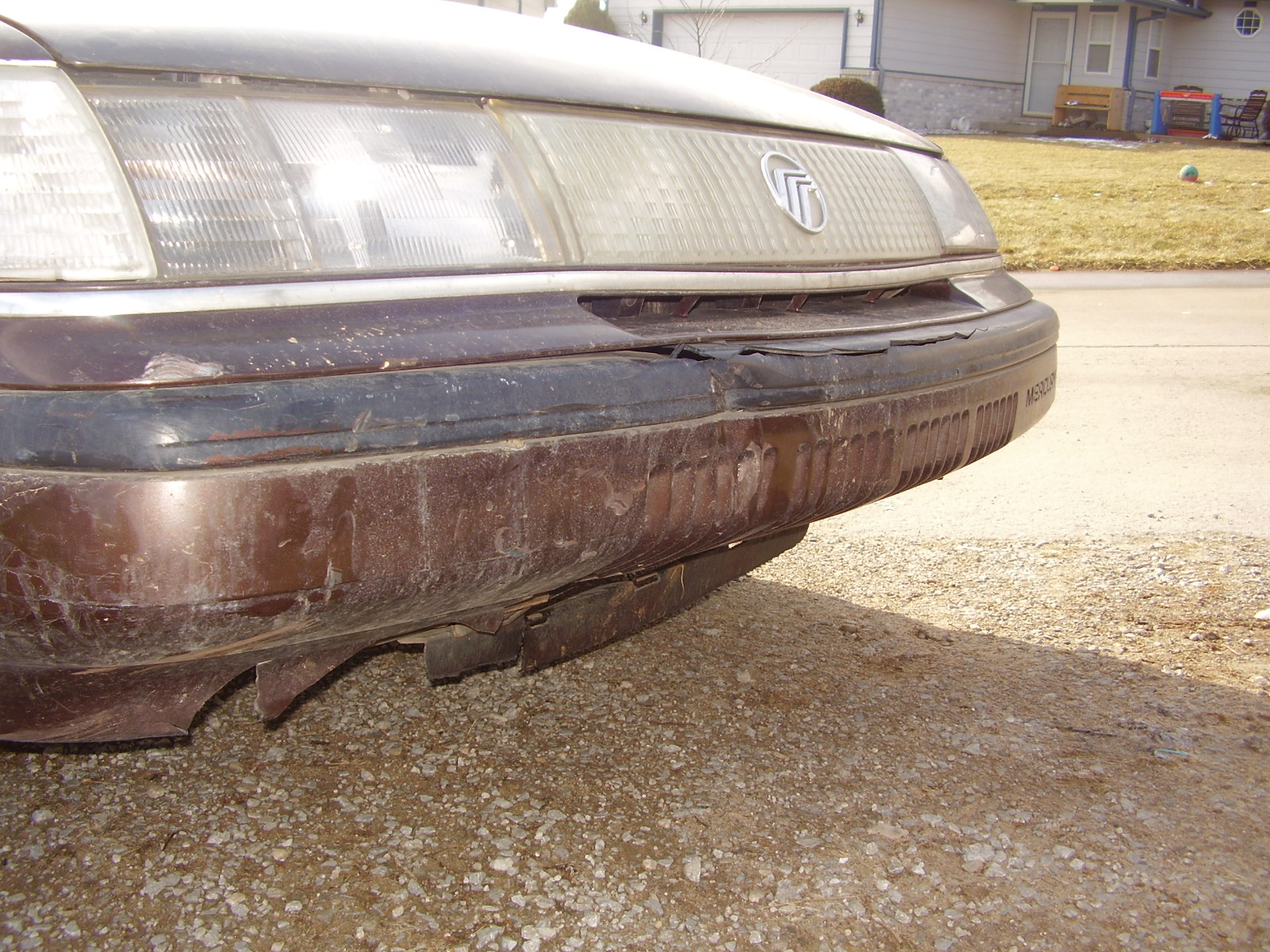
from this view the damage dosn't look so bad
Heage Windmill, Derby

Sunrise Reflections R

A Sight to Behold R
Melissa Kelly Imagery
Storm Clouds _MG_5852R

Goose Flock at Sunrise IMG_0556 R
ARKANSAS RIVER
Day 160 - Original

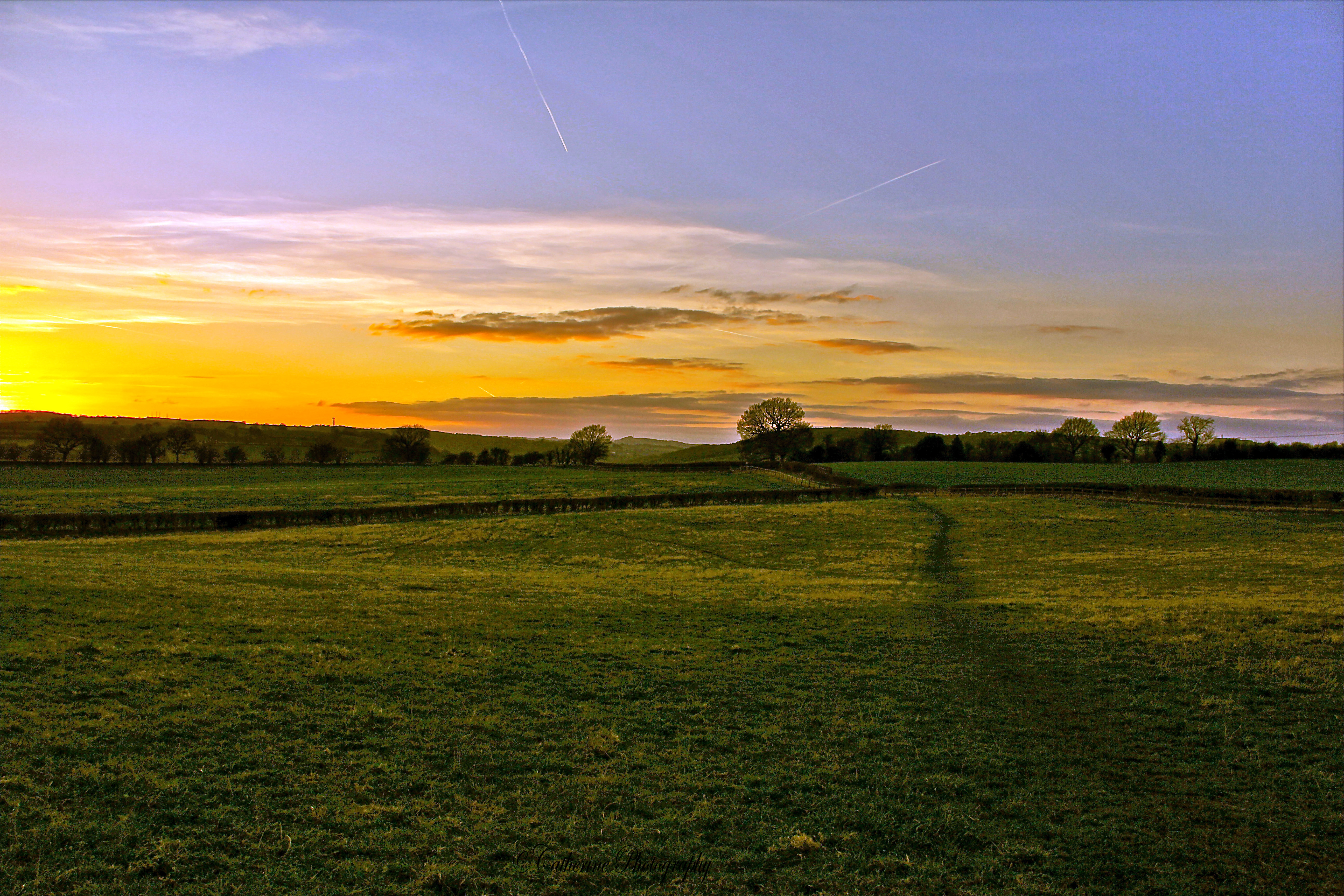
Sunrise colors HDR2 R
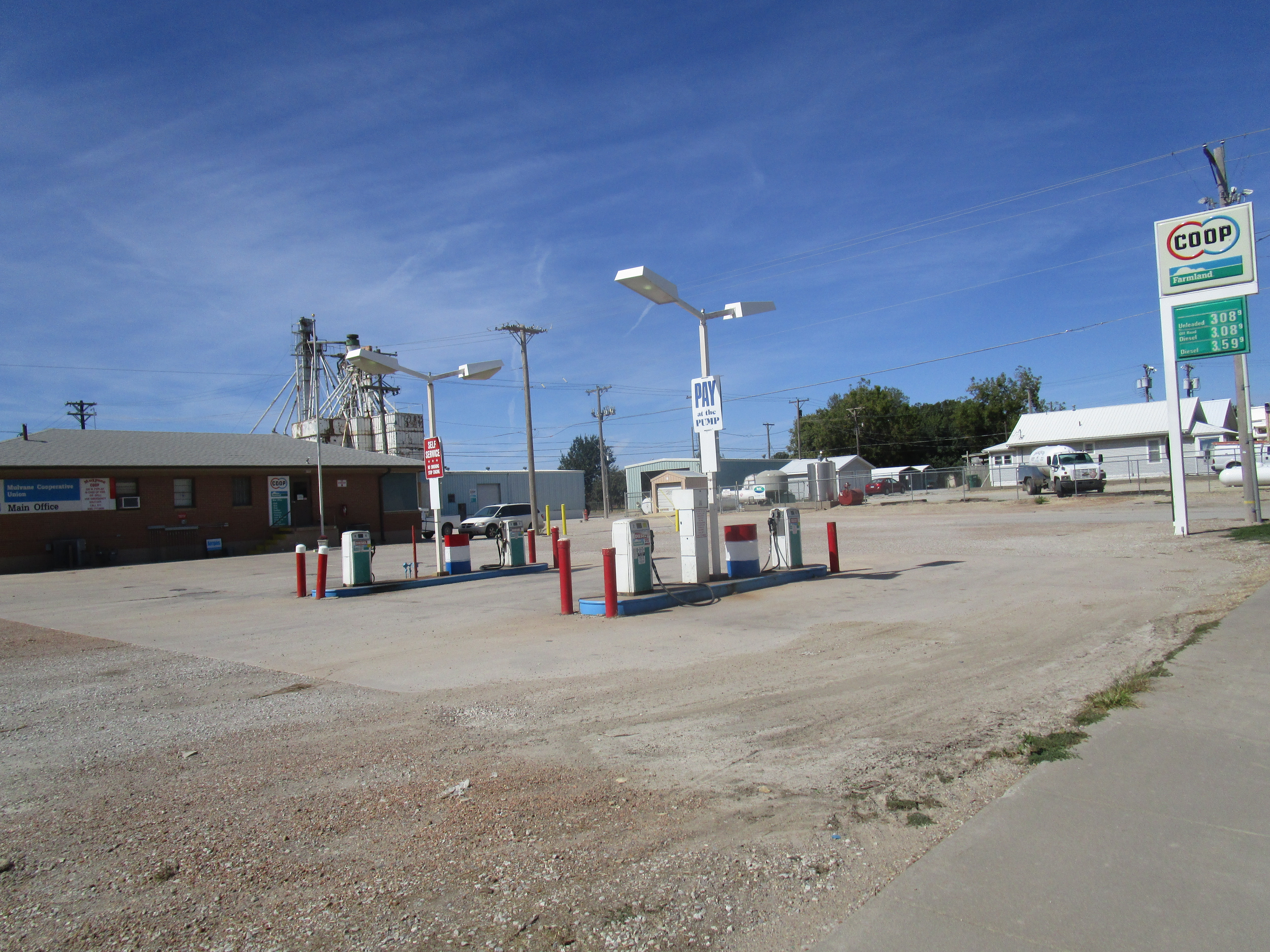
Mulvane Co-op
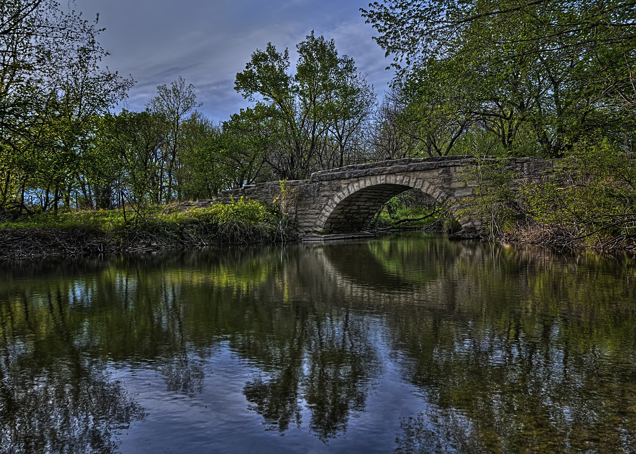
Bridge Over Pole Cat Creek
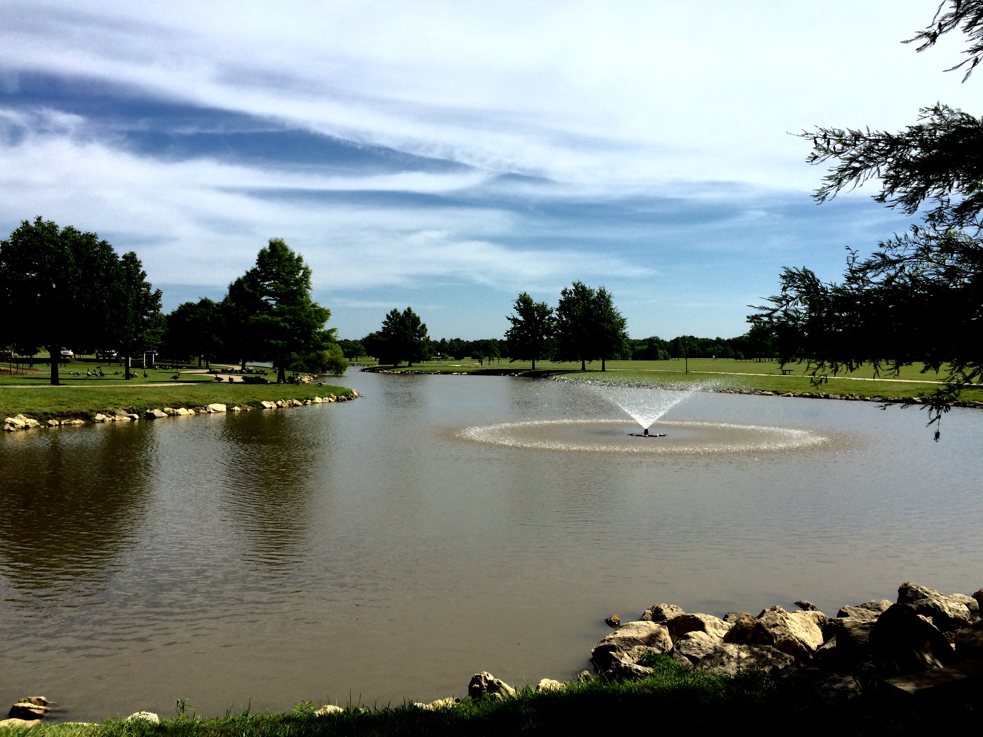
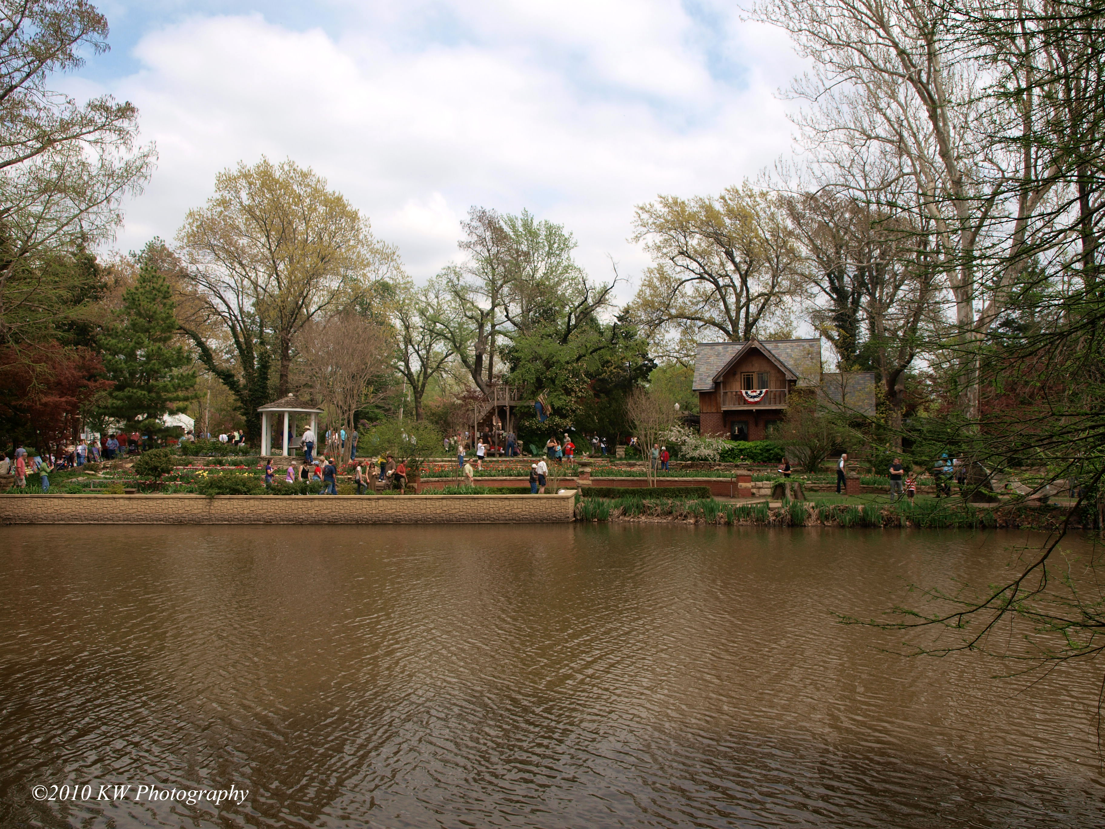
Derby park
Topographic Map of Mulvane, KS, USA
Find elevation by address:

Places in Mulvane, KS, USA:
Places near Mulvane, KS, USA:
East Louis Boulevard
1224 Louis Dr
1226 Louis Dr
1228 Louis Dr
1441 Autumn Valley
3548 E 103rd St Ct S
Rockford
Derby
621 N River St
Rock River Rapids Aquatic Park
Hampton Inn & Suites I-35/mulvane
1701 Overlook Dr
Salem
Vapor 100 - Derby
10611 S Broadway
E 95th St S, Haysville, KS, USA
14545 E 79th St S
Riverside
200 W Patriot Ave
Hidden Lakes Golf Course
Recent Searches:
- Elevation of Corso Fratelli Cairoli, 35, Macerata MC, Italy
- Elevation of Tallevast Rd, Sarasota, FL, USA
- Elevation of 4th St E, Sonoma, CA, USA
- Elevation of Black Hollow Rd, Pennsdale, PA, USA
- Elevation of Oakland Ave, Williamsport, PA, USA
- Elevation of Pedrógão Grande, Portugal
- Elevation of Klee Dr, Martinsburg, WV, USA
- Elevation of Via Roma, Pieranica CR, Italy
- Elevation of Tavkvetili Mountain, Georgia
- Elevation of Hartfords Bluff Cir, Mt Pleasant, SC, USA