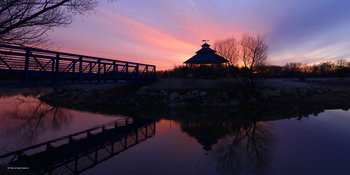
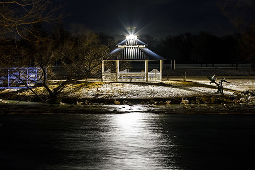
Elevation of Louis Dr, Mulvane, KS, USA
Location: United States > Kansas > Sedgwick County > Salem > Mulvane >
Longitude: -97.243984
Latitude: 37.4875417
Elevation: 388m / 1273feet
Barometric Pressure: 97KPa
Related Photos:
Topographic Map of Louis Dr, Mulvane, KS, USA
Find elevation by address:

Places near Louis Dr, Mulvane, KS, USA:
1226 Louis Dr
1224 Louis Dr
1441 Autumn Valley
East Louis Boulevard
Mulvane
3548 E 103rd St Ct S
Rockford
Derby
621 N River St
Rock River Rapids Aquatic Park
1701 Overlook Dr
Vapor 100 - Derby
Hampton Inn & Suites I-35/mulvane
Salem
Riverside
200 W Patriot Ave
E 95th St S, Haysville, KS, USA
14545 E 79th St S
10611 S Broadway
Hidden Lakes Golf Course
Recent Searches:
- Elevation of Corso Fratelli Cairoli, 35, Macerata MC, Italy
- Elevation of Tallevast Rd, Sarasota, FL, USA
- Elevation of 4th St E, Sonoma, CA, USA
- Elevation of Black Hollow Rd, Pennsdale, PA, USA
- Elevation of Oakland Ave, Williamsport, PA, USA
- Elevation of Pedrógão Grande, Portugal
- Elevation of Klee Dr, Martinsburg, WV, USA
- Elevation of Via Roma, Pieranica CR, Italy
- Elevation of Tavkvetili Mountain, Georgia
- Elevation of Hartfords Bluff Cir, Mt Pleasant, SC, USA
