Elevation of Oxford, KS, USA
Location: United States > Kansas > Sumner County > Oxford >
Longitude: -97.1689296
Latitude: 37.2741908
Elevation: 363m / 1191feet
Barometric Pressure: 0KPa
Related Photos:

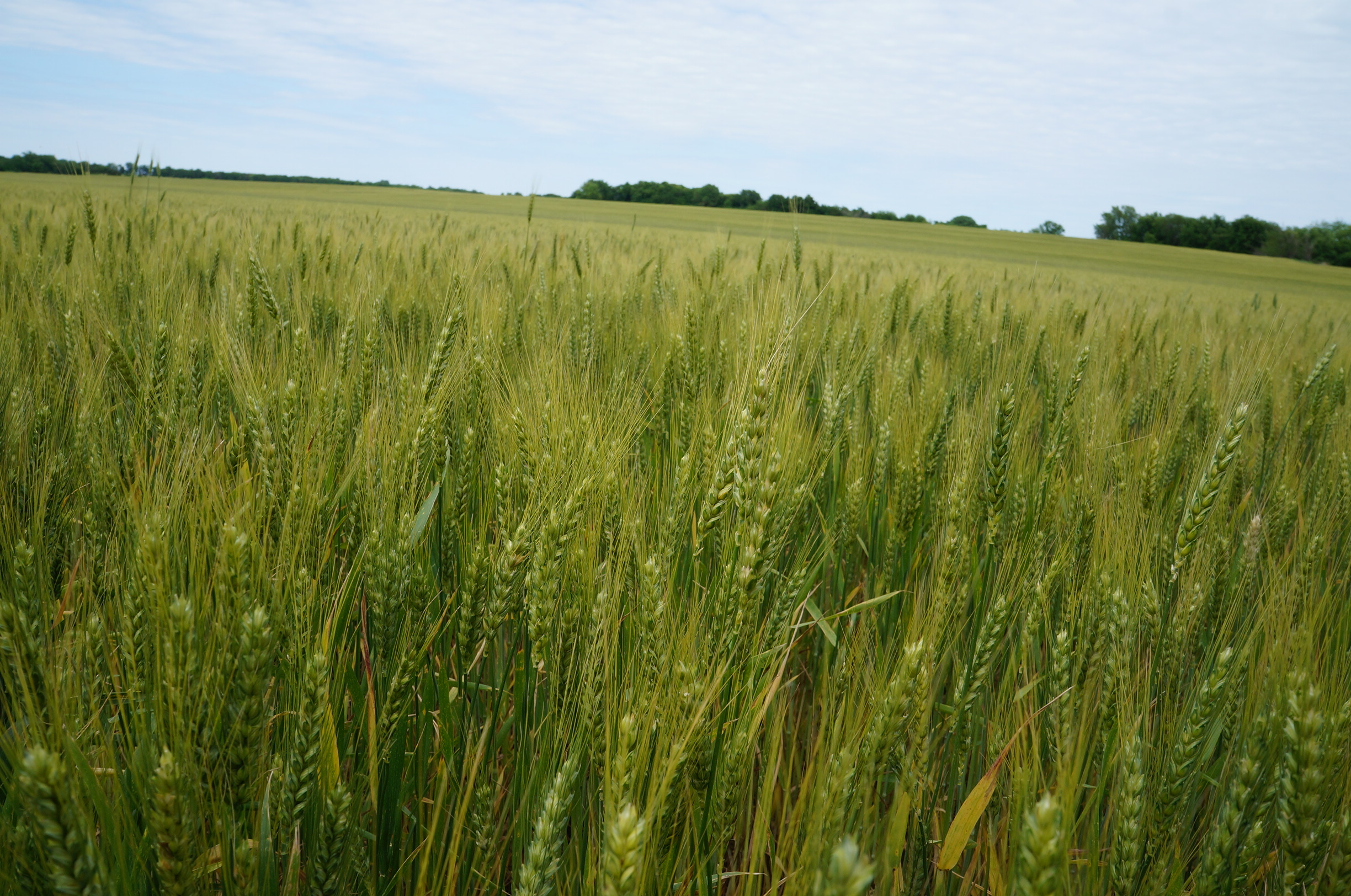
Greetings From Kansas

Corn field view of sunset

View of festival from grandstand

Blue Reflection
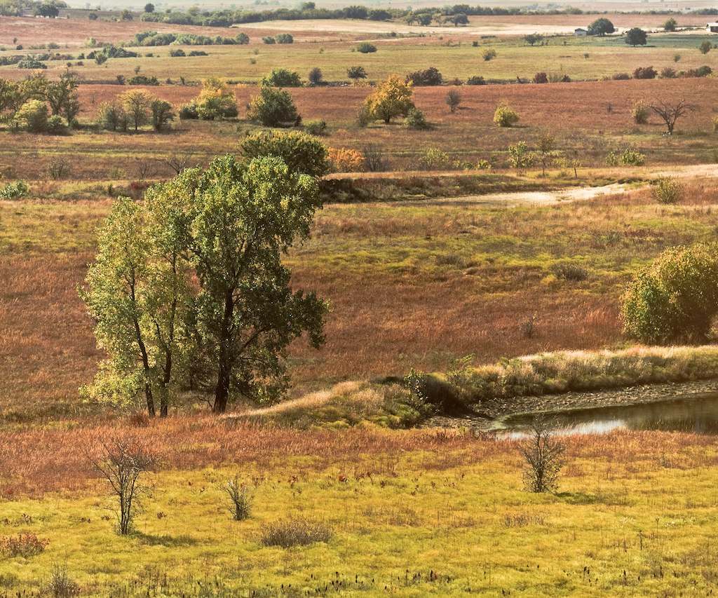
Kansas Prairie

Storm cloud over wheat field
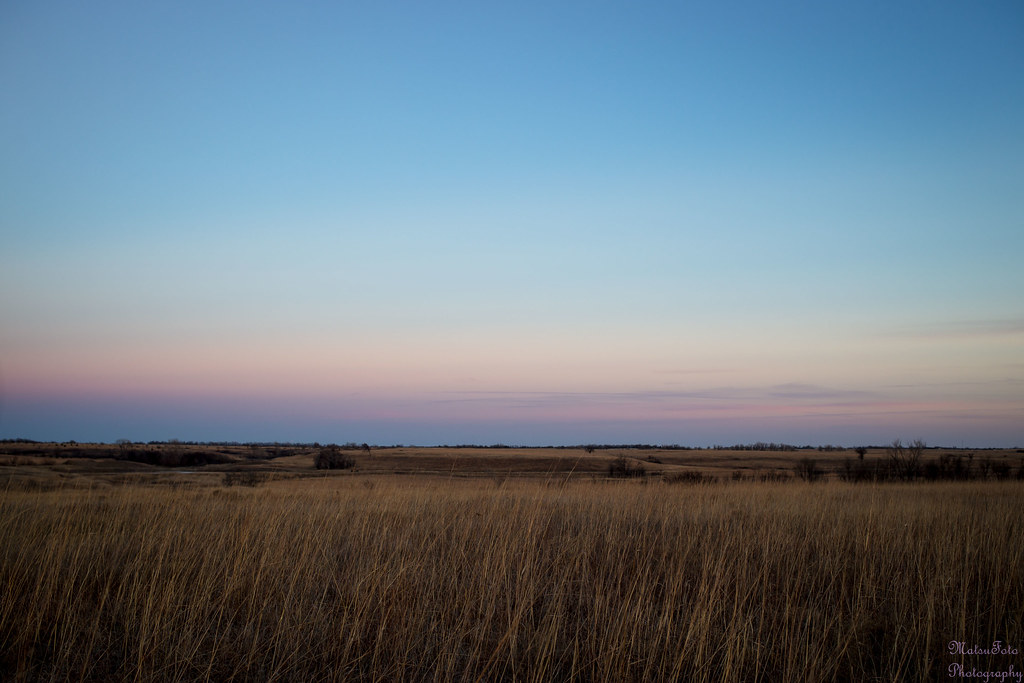
Tallgrass Prairie after sunset

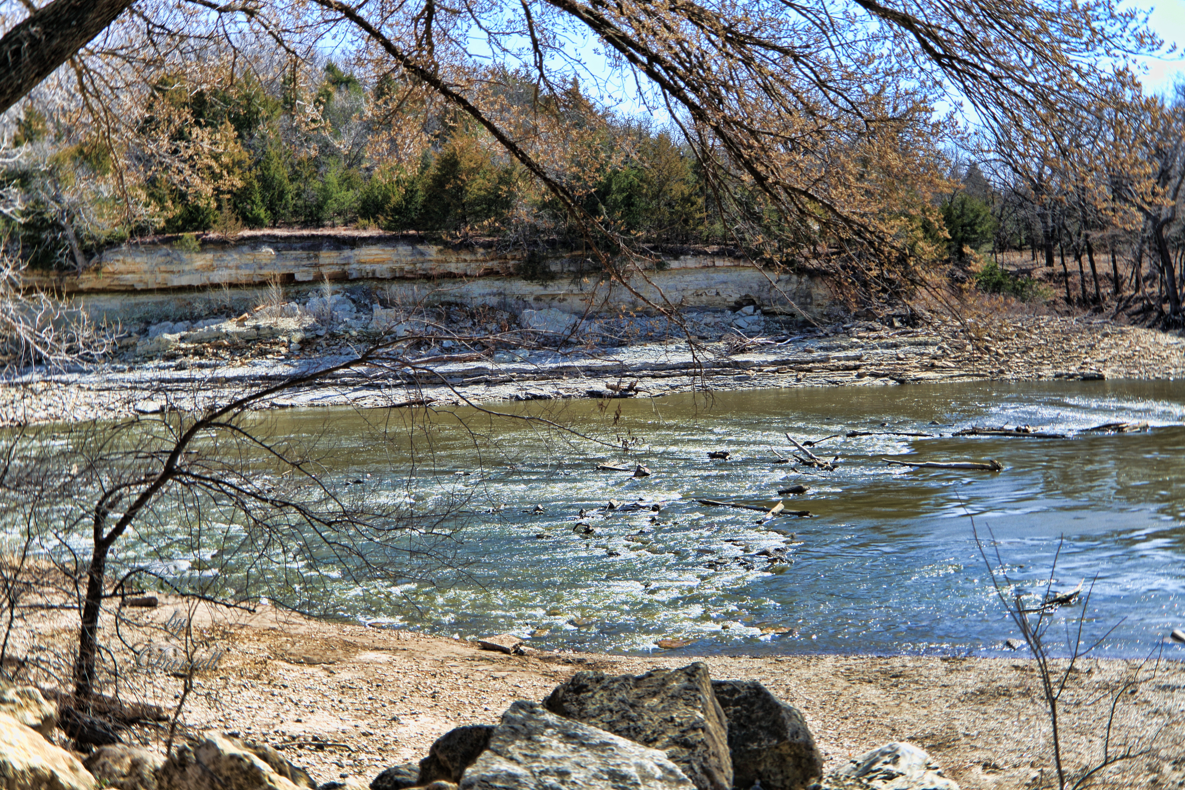
Arkansas River, near Geuda Springs, KS
first 076

Old Oxford Mill

Black-Eyed Susan

The Woods by the Old Mill
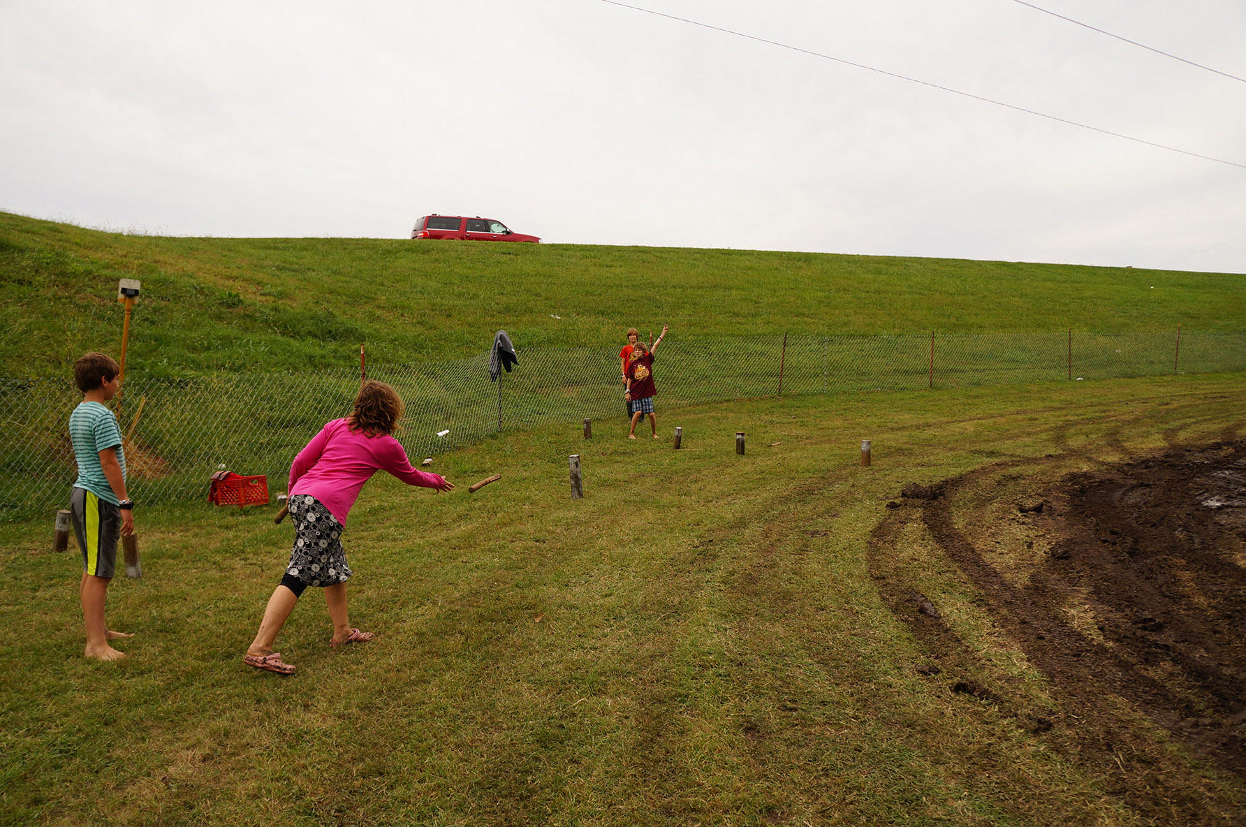
Kuub in the campground

Sunset over corn field
Holman farm
Topographic Map of Oxford, KS, USA
Find elevation by address:

Places near Oxford, KS, USA:
Oxford
E 50th Ave N, Belle Plaine, KS, USA
23rd Rd, Winfield, KS, USA
1390 E 30th Ave N
Vernon
Beaver
Palestine
Ninnescah
nd Rd, Geuda Springs, KS, USA
Udall
th Rd, Udall, KS, USA
N Merchant St, Belle Plaine, KS, USA
Belle Plaine
Greene
634 N Seneca Rd
Wellington Koa Holiday
nd Rd, Arkansas City, KS, USA
Belle Plaine Township
Wellington
Mulvane
Recent Searches:
- Elevation of 24, Auburn Bay Crescent SE, Auburn Bay, Calgary, Alberta, T3M 0A6, Canada
- Elevation of Denver, 2314, Arapahoe Street, Five Points, Denver, Colorado, 80205, USA
- Elevation of Community of the Beatitudes, 2924, West 43rd Avenue, Sunnyside, Denver, Colorado, 80211, USA
- Elevation map of Litang County, Sichuan, China
- Elevation map of Madoi County, Qinghai, China
- Elevation of 3314, Ohio State Route 114, Payne, Paulding County, Ohio, 45880, USA
- Elevation of Sarahills Drive, Saratoga, Santa Clara County, California, 95070, USA
- Elevation of Town of Bombay, Franklin County, New York, USA
- Elevation of 9, Convent Lane, Center Moriches, Suffolk County, New York, 11934, USA
- Elevation of Saint Angelas Convent, 9, Convent Lane, Center Moriches, Suffolk County, New York, 11934, USA
- Elevation of 131st Street Southwest, Mukilteo, Snohomish County, Washington, 98275, USA
- Elevation of 304, Harrison Road, Naples, Cumberland County, Maine, 04055, USA
- Elevation of 2362, Timber Ridge Road, Harrisburg, Cabarrus County, North Carolina, 28075, USA
- Elevation of Ridge Road, Marshalltown, Marshall County, Iowa, 50158, USA
- Elevation of 2459, Misty Shadows Drive, Pigeon Forge, Sevier County, Tennessee, 37862, USA
- Elevation of 8043, Brightwater Way, Spring Hill, Williamson County, Tennessee, 37179, USA
- Elevation of Starkweather Road, San Luis, Costilla County, Colorado, 81152, USA
- Elevation of 5277, Woodside Drive, Baton Rouge, East Baton Rouge Parish, Louisiana, 70808, USA
- Elevation of 1139, Curtin Street, Shepherd Park Plaza, Houston, Harris County, Texas, 77018, USA
- Elevation of 136, Sellers Lane, Repton, Monroe County, Alabama, 36475, USA