Elevation of Ozu, Ehime Prefecture, Japan
Location: Japan > Ehime Prefecture >
Longitude: 132.544508
Latitude: 33.5061936
Elevation: 16m / 52feet
Barometric Pressure: 101KPa
Elevation Map:
Satellite Map:
Related Photos:
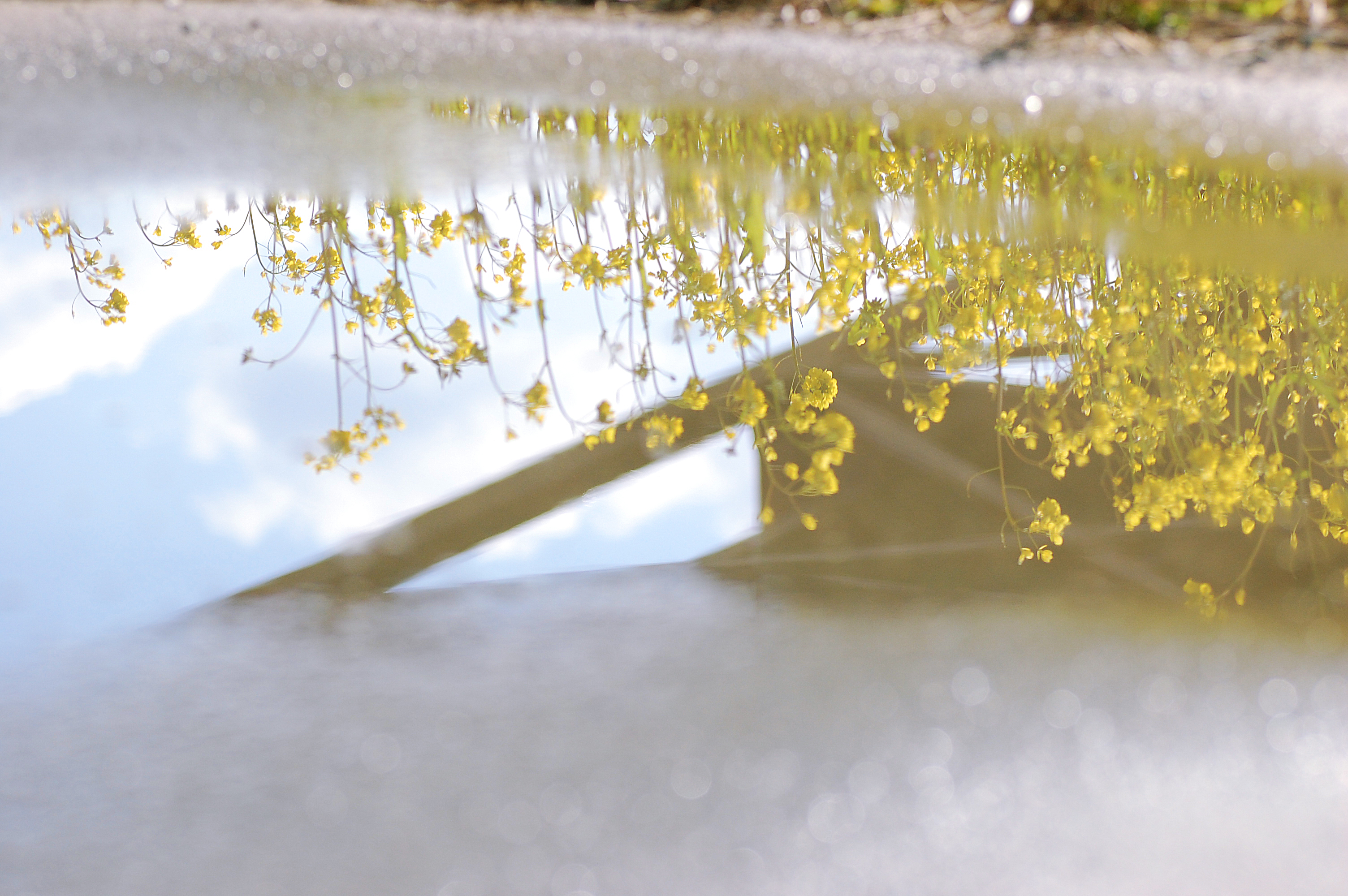
Spring view of the puddle
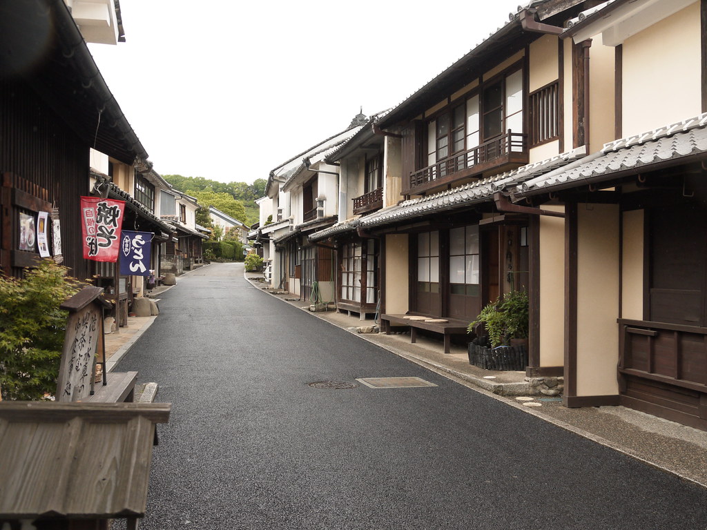
street view@Uchiko,Ehime,Japan

A view from the bridge

秋影
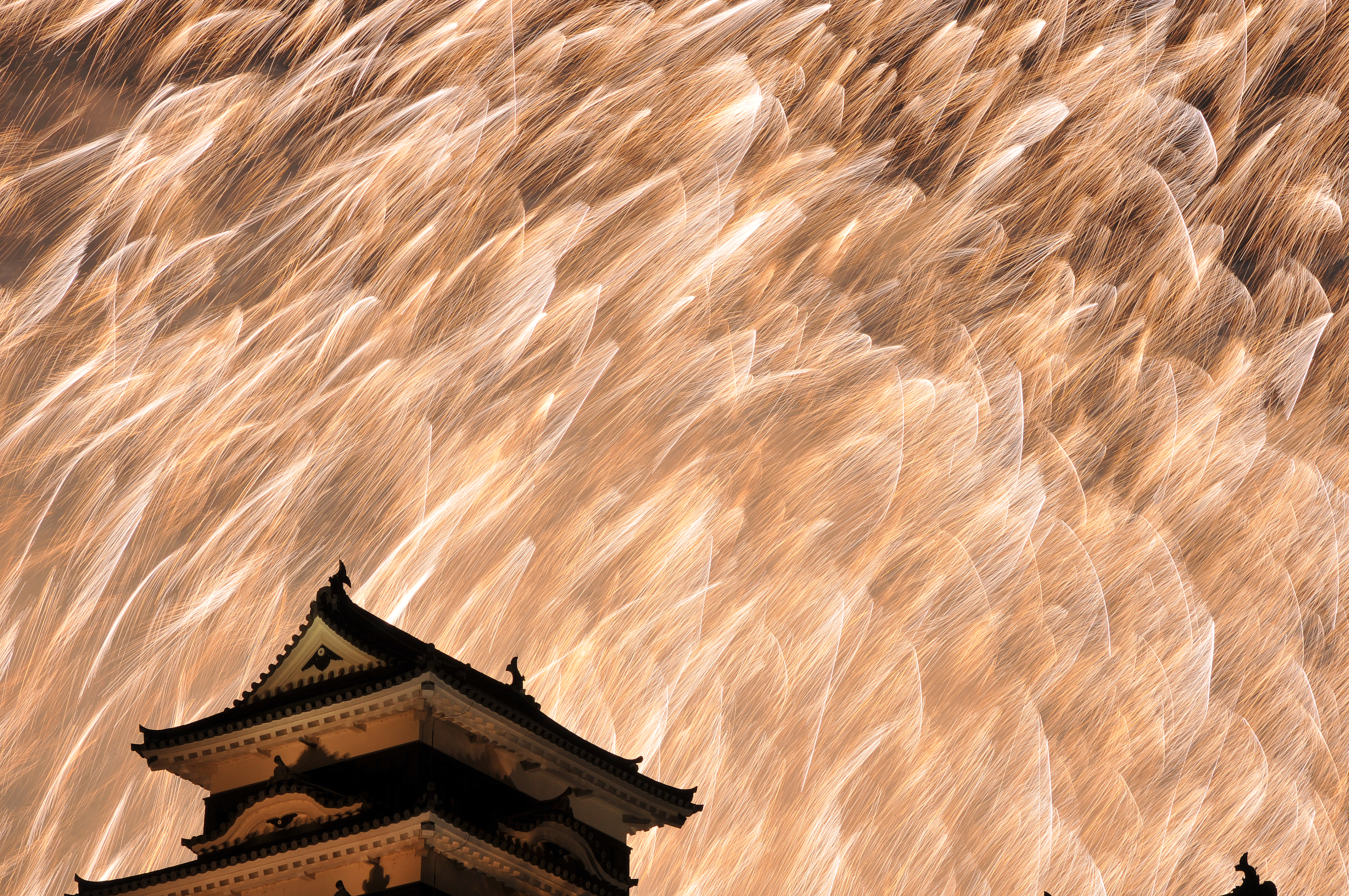
Japanese fireworks #2
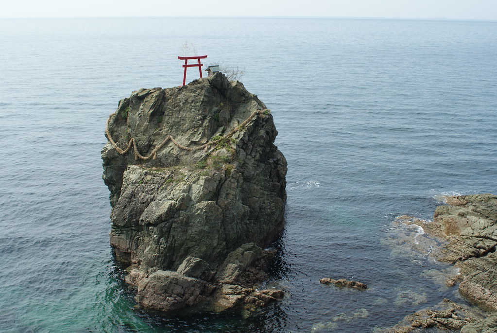
Tsunakake Iwa (綱掛け岩)
Summer in Ozu #4

Spring day #7

串8・Kushi Village
2013/6/22
大洲城5.6.7・Ozu Castle

Oozu Castle
肱川2・Hiji River
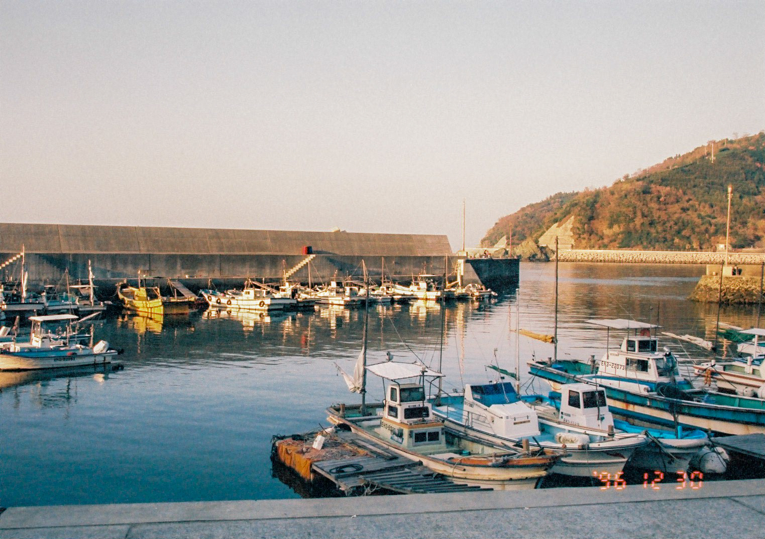
漁村
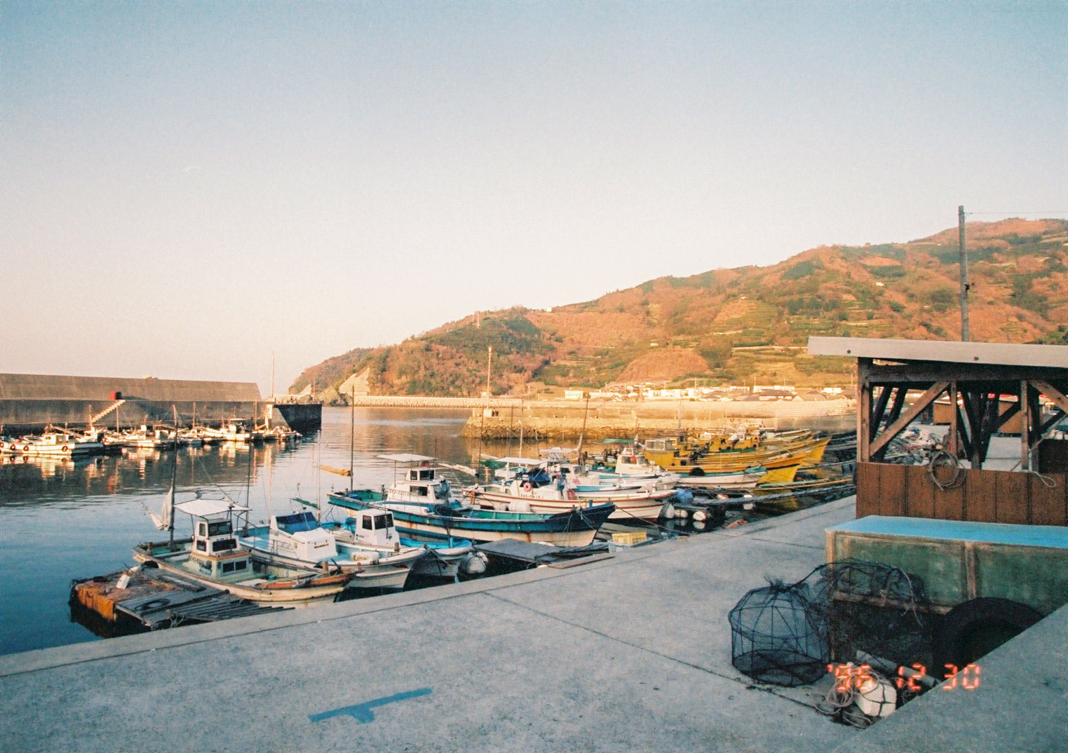
漁村
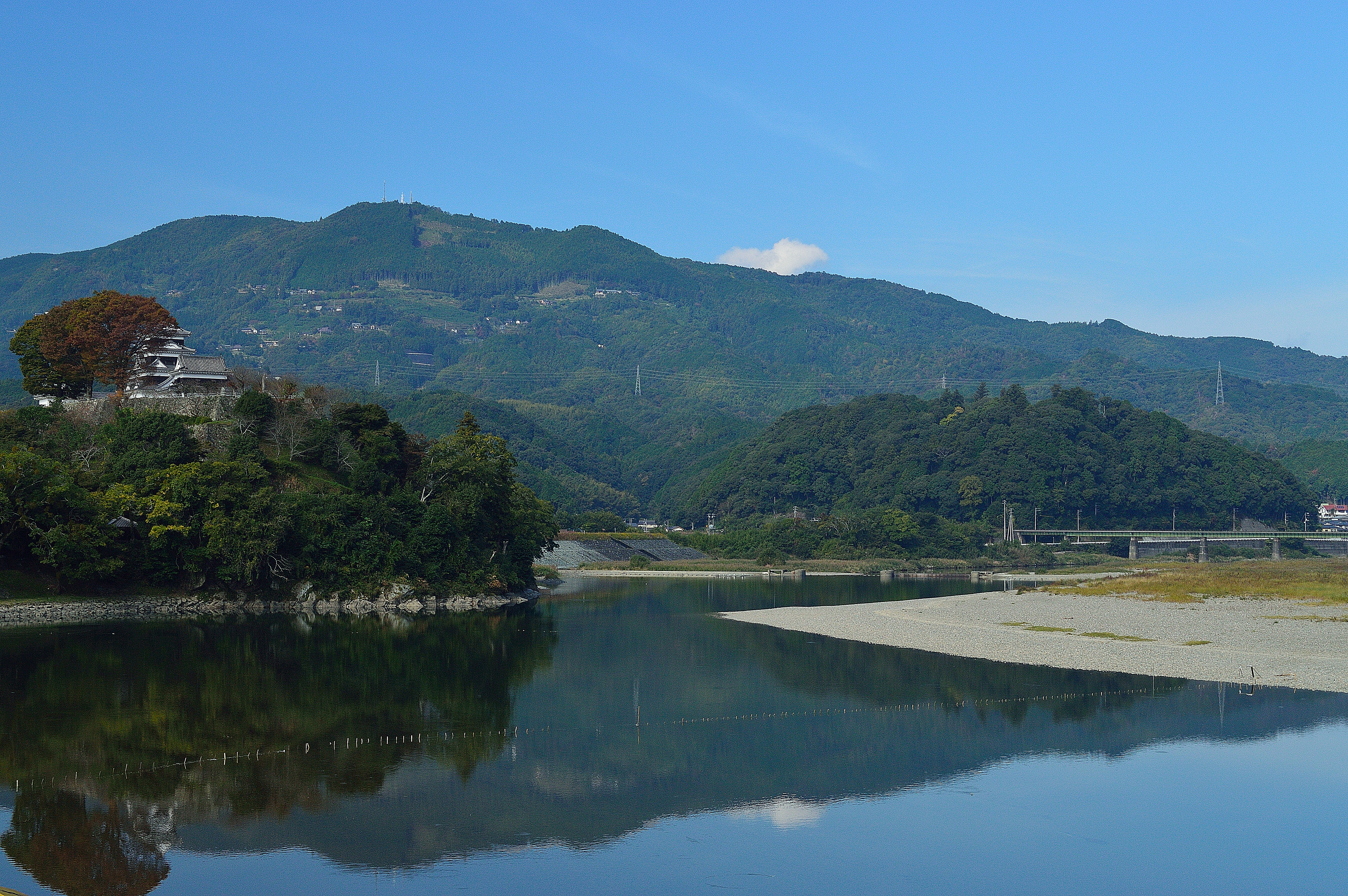
大洲城4・Ozu Castle

Spring day #5
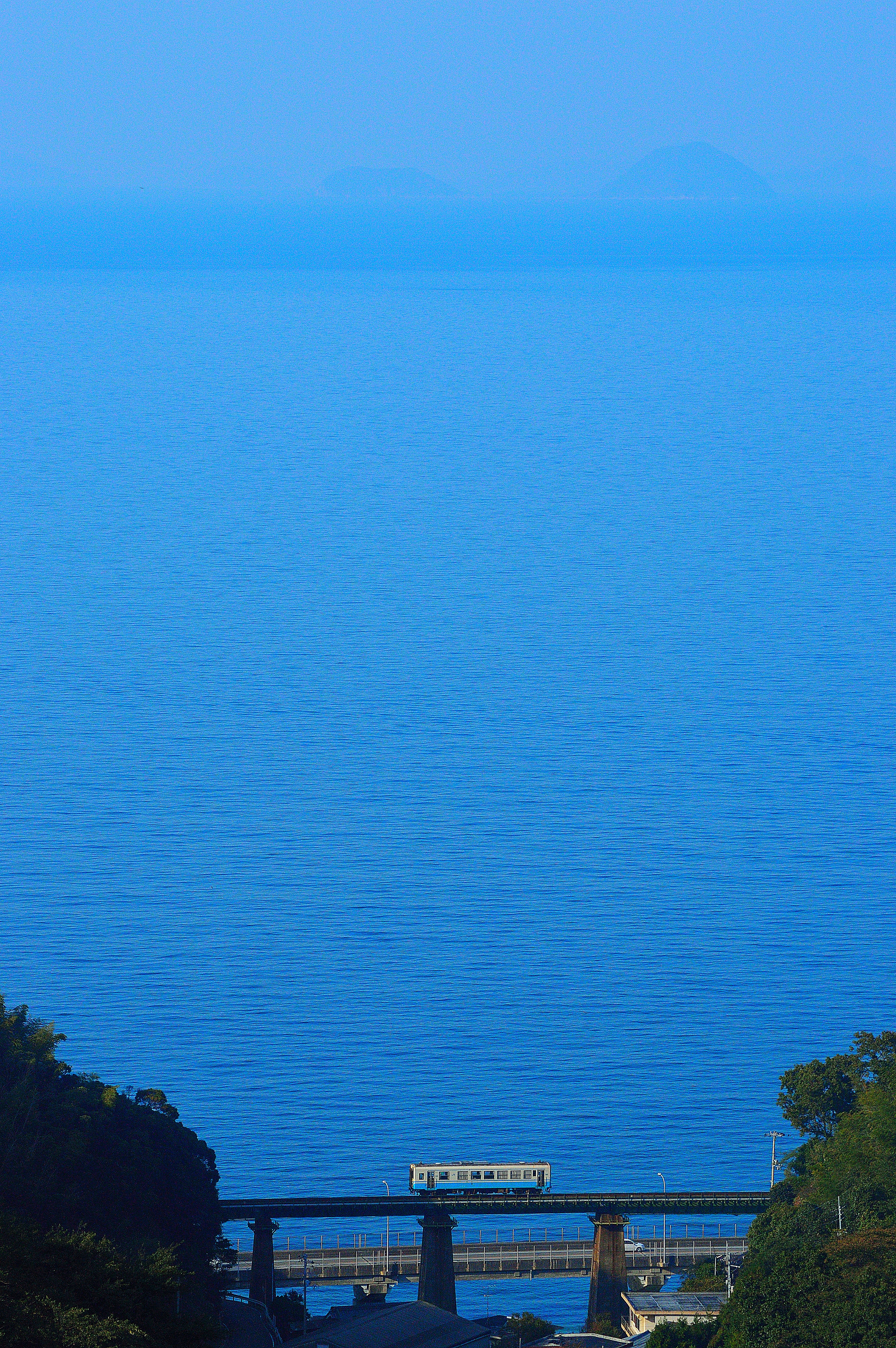
予讃線1・Yosan Line

Spring has come

予讃線4・Yosan Line
大洲城3・Ozu Castle

串6・Kushi Village

予讃線5・Yosan Line
Leaving Yahatahama
Topographic Map of Ozu, Ehime Prefecture, Japan
Find elevation by address:

Places in Ozu, Ehime Prefecture, Japan:
Places near Ozu, Ehime Prefecture, Japan:
Ozu
Ozu Castle
-3 Nakamura, Ōzu-shi, Ehime-ken -, Japan
Uchiko, Uchiko-chō, Kita-gun, Ehime-ken -, Japan
Uchiko
Yawatahama
モビーディック
1460-11 (sonota)
Seiyo
3 Chome- Uwachō Unomachi, Seiyo-shi, Ehime-ken -, Japan
Ikata
Kita District
Nakayamacho Izubuchi
Tateishi, Uchiko-chō, Kita-gun, Ehime-ken -, Japan
甲106
Nagahamachō Aoshima, Ōzu-shi, Ehime-ken -, Japan
Yoshidachō Asakawa, Uwajima-shi, Ehime-ken -, Japan
Yoshidachō Nagimi, Uwajima-shi, Ehime-ken -, Japan
4- Yoshidachō Chinaga, Uwajima-shi, Ehime-ken -, Japan
Kitauwa District
Recent Searches:
- Elevation of Corso Fratelli Cairoli, 35, Macerata MC, Italy
- Elevation of Tallevast Rd, Sarasota, FL, USA
- Elevation of 4th St E, Sonoma, CA, USA
- Elevation of Black Hollow Rd, Pennsdale, PA, USA
- Elevation of Oakland Ave, Williamsport, PA, USA
- Elevation of Pedrógão Grande, Portugal
- Elevation of Klee Dr, Martinsburg, WV, USA
- Elevation of Via Roma, Pieranica CR, Italy
- Elevation of Tavkvetili Mountain, Georgia
- Elevation of Hartfords Bluff Cir, Mt Pleasant, SC, USA