Elevation of 4- Yoshidachō Chinaga, Uwajima-shi, Ehime-ken -, Japan
Location: Japan > Ehime Prefecture > Uwajima >
Longitude: 132.544586
Latitude: 33.2617858
Elevation: 10m / 33feet
Barometric Pressure: 101KPa
Elevation Map:
Satellite Map:
Related Photos:
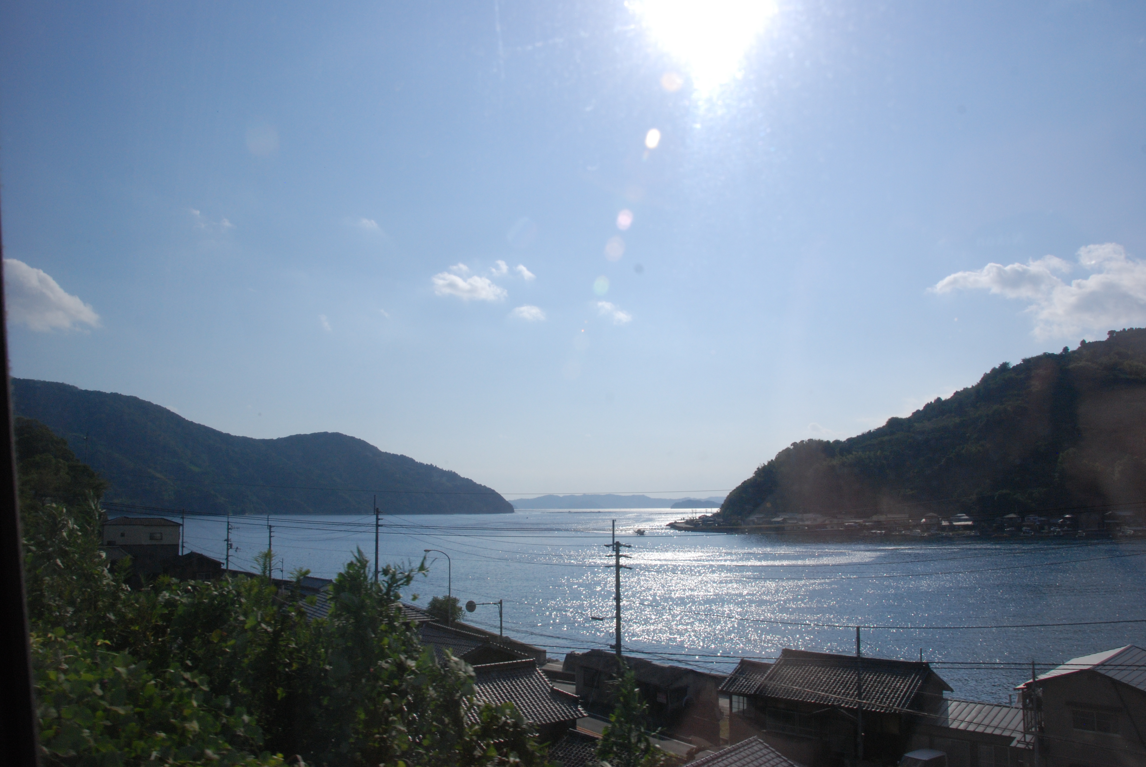
View from the train

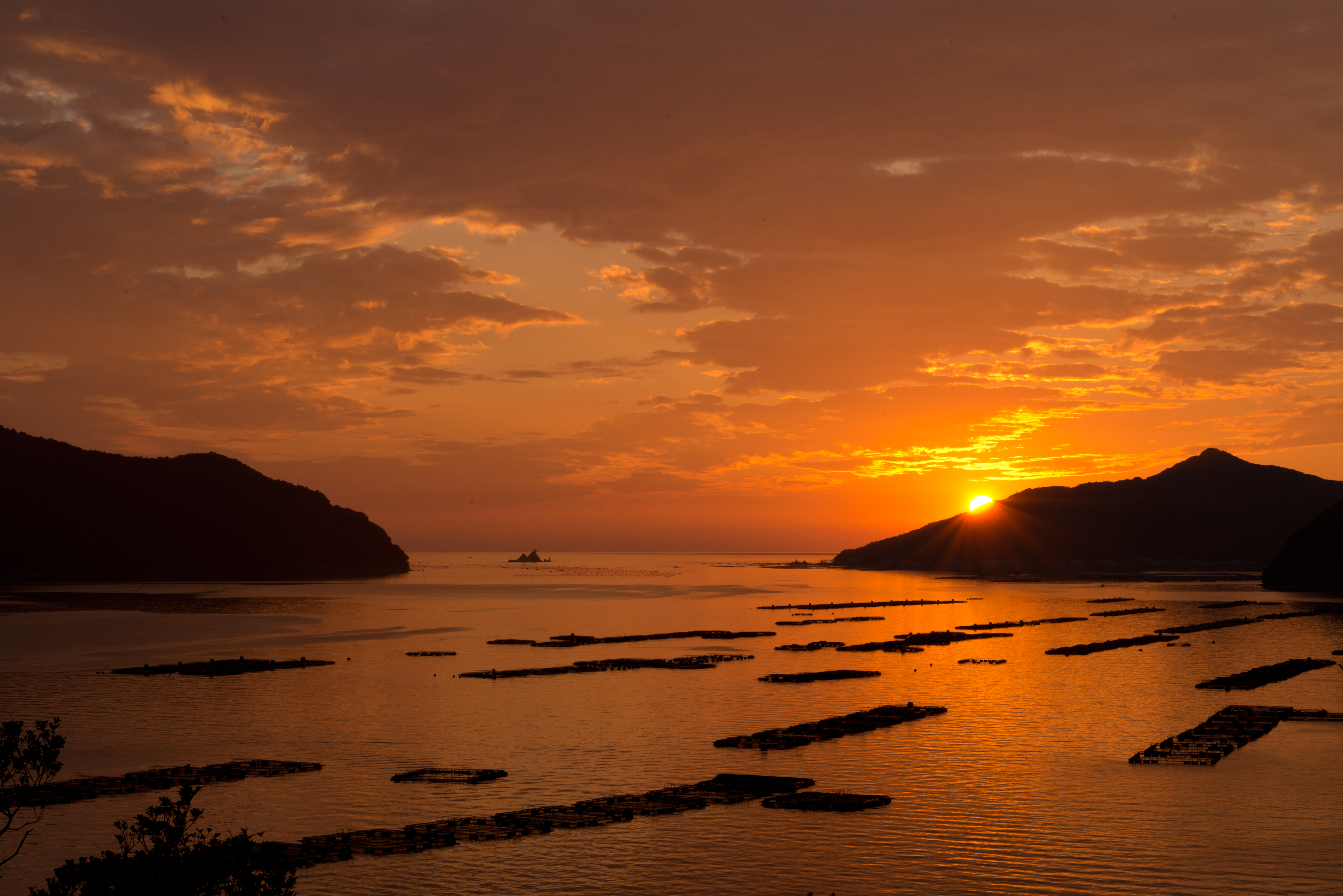
黄昏色に染まる真珠筏
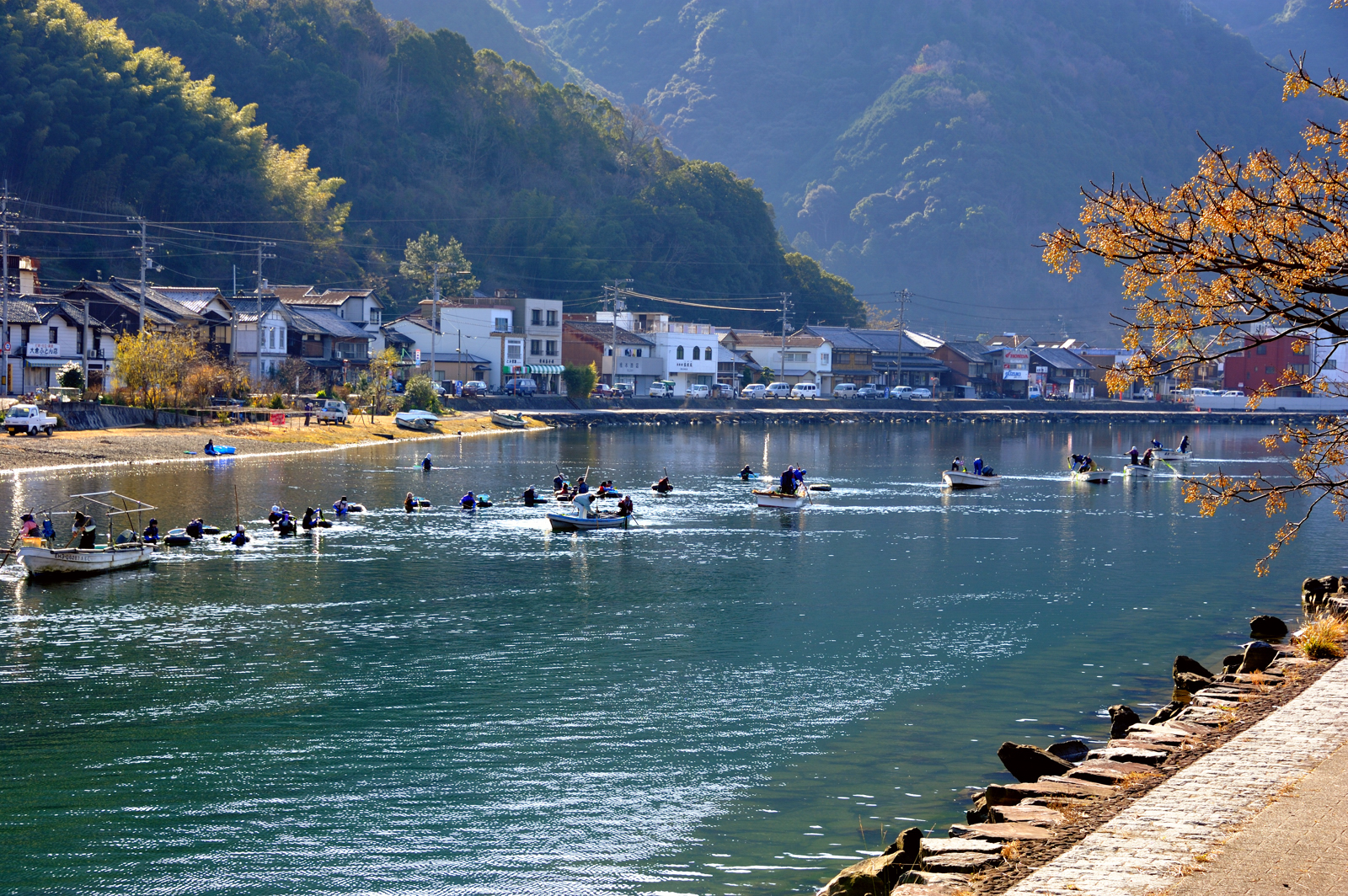
Harvest laver 川海苔 採り
Sunset at the camp
明浜
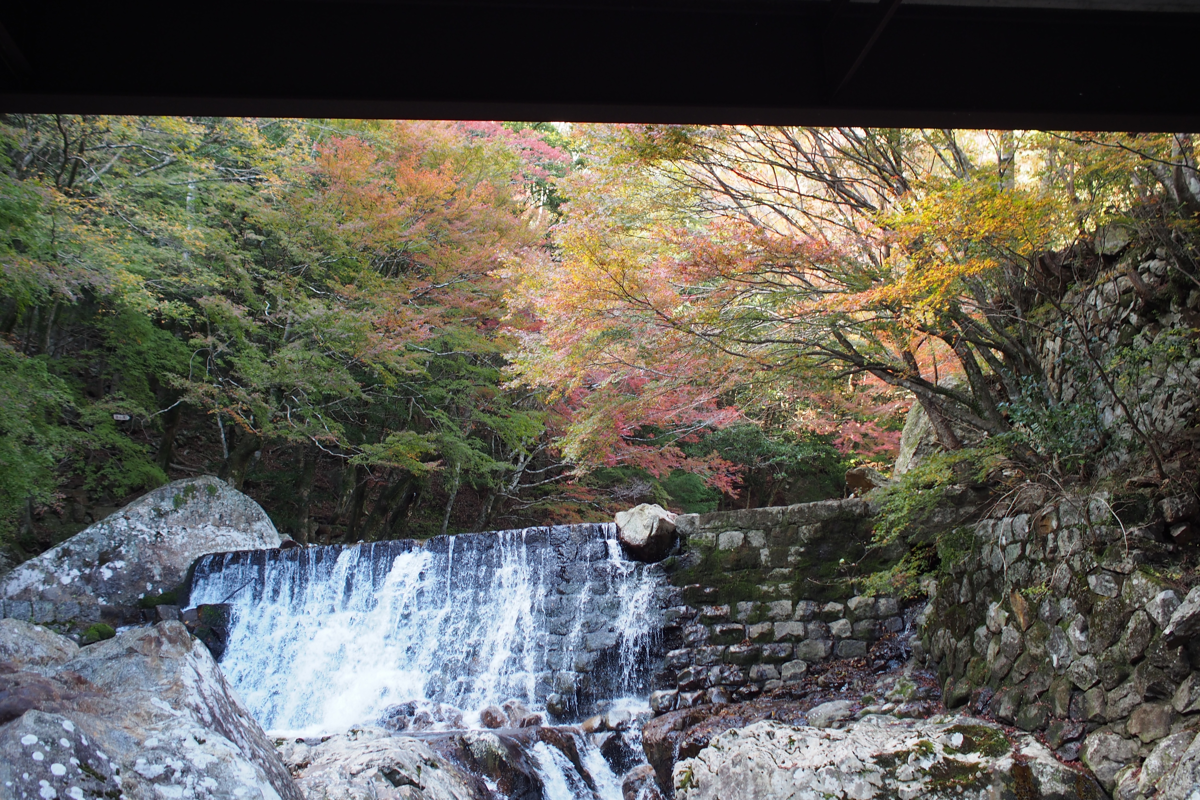
黒尊川の紅葉
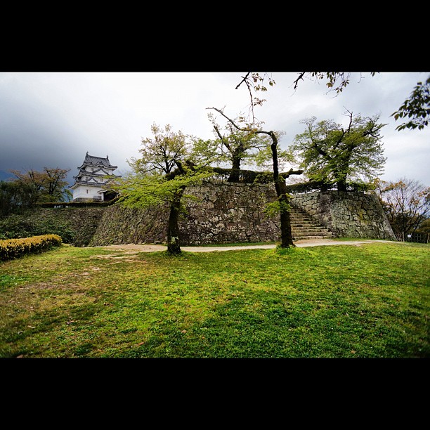
宇和島城6 #castle
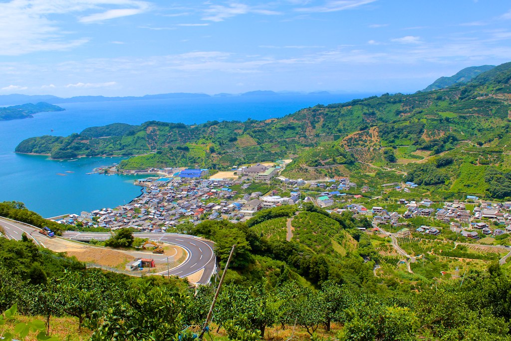
明浜
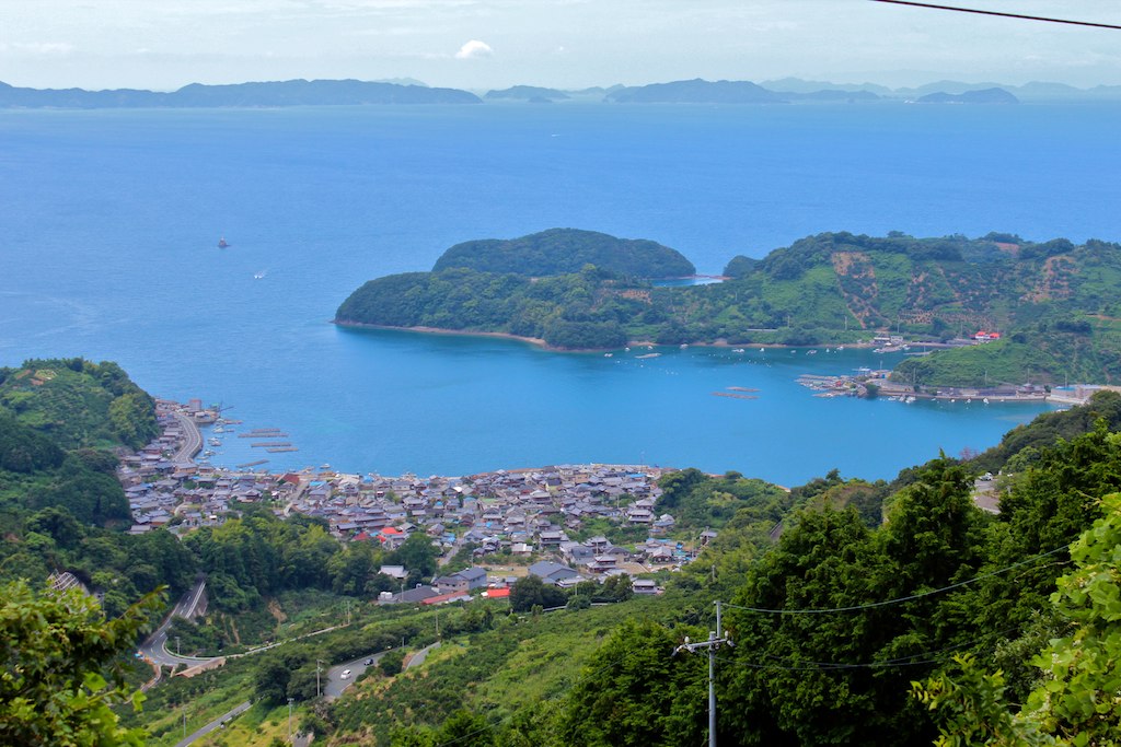
明浜
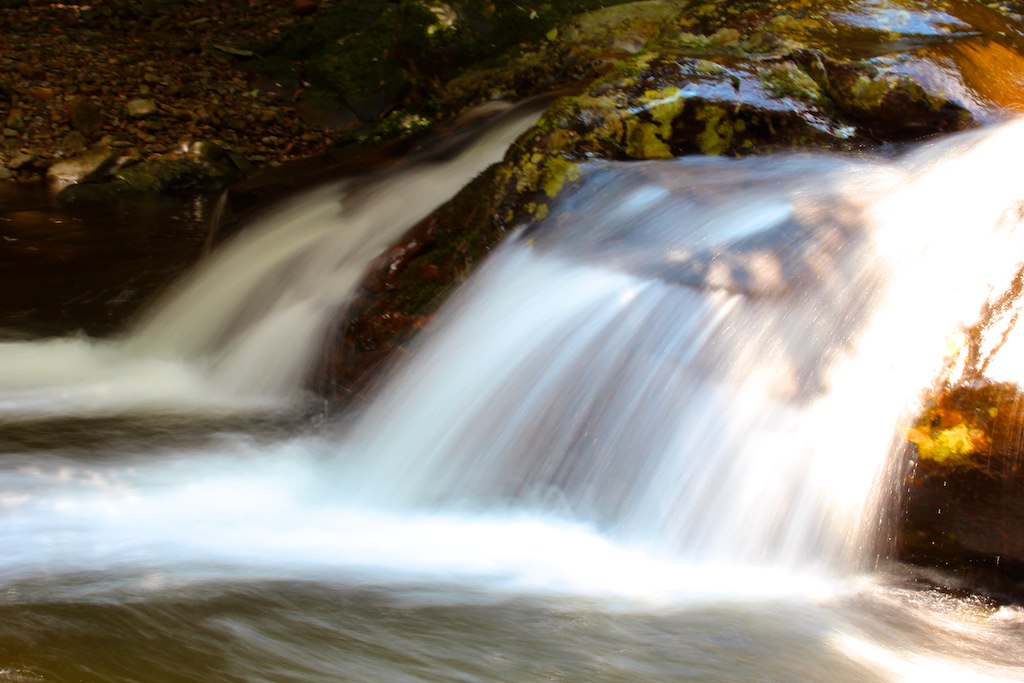
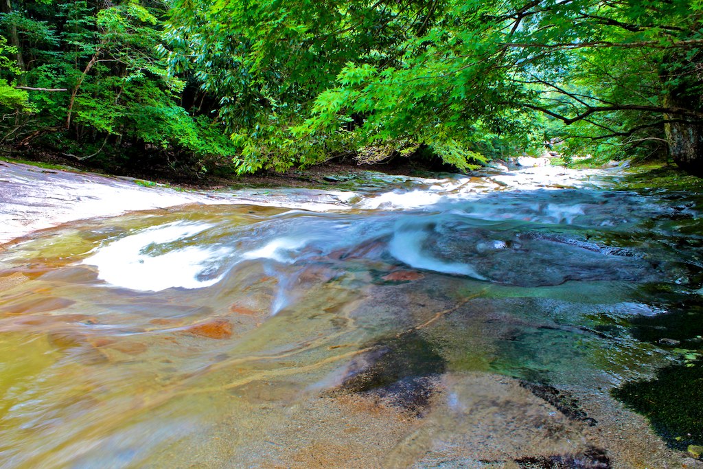
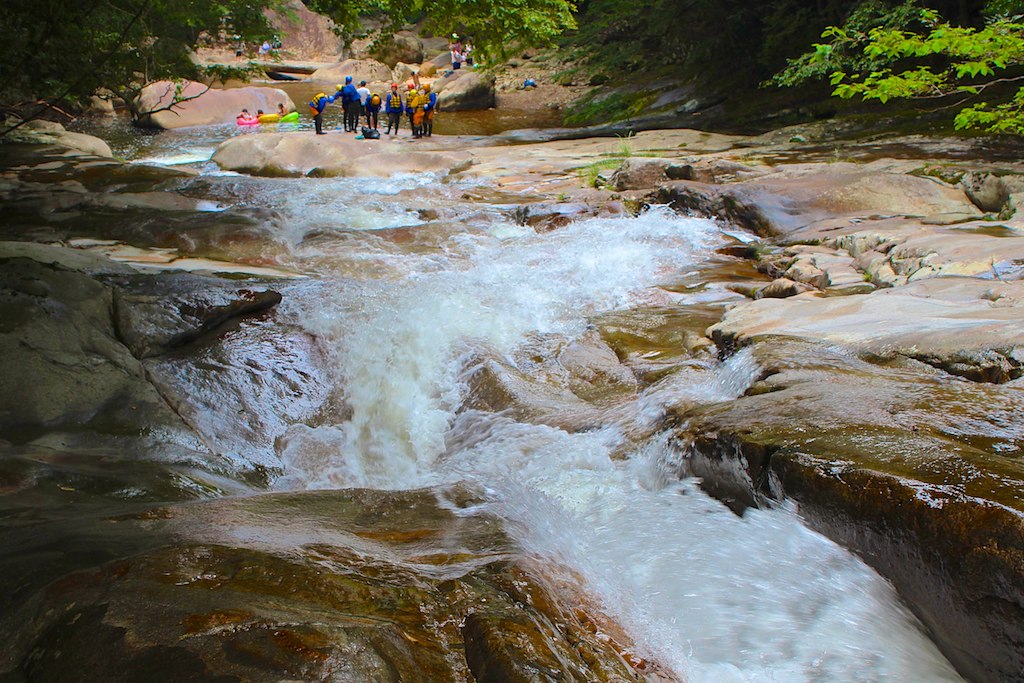
滑床渓谷
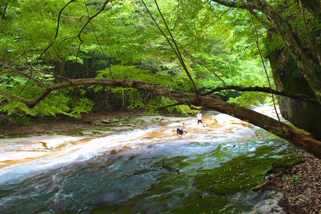
滑床渓谷
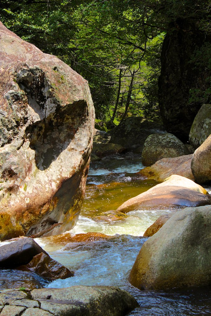
滑床渓谷
Cold morning !
滑床渓谷
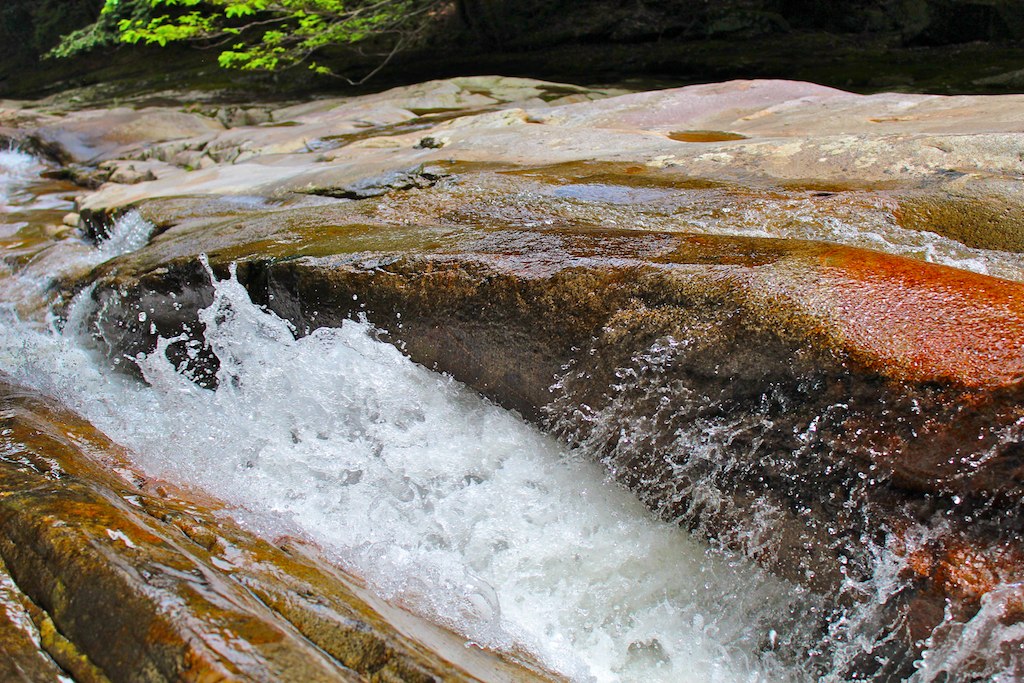
滑床渓谷
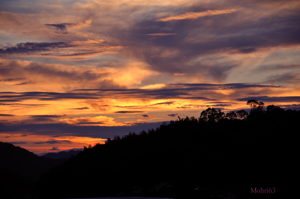
Sunset clouds
滑床渓谷
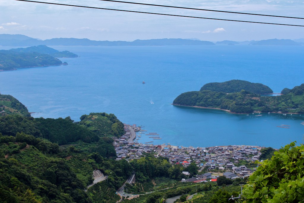
明浜
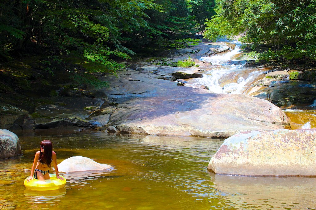
滑床渓谷
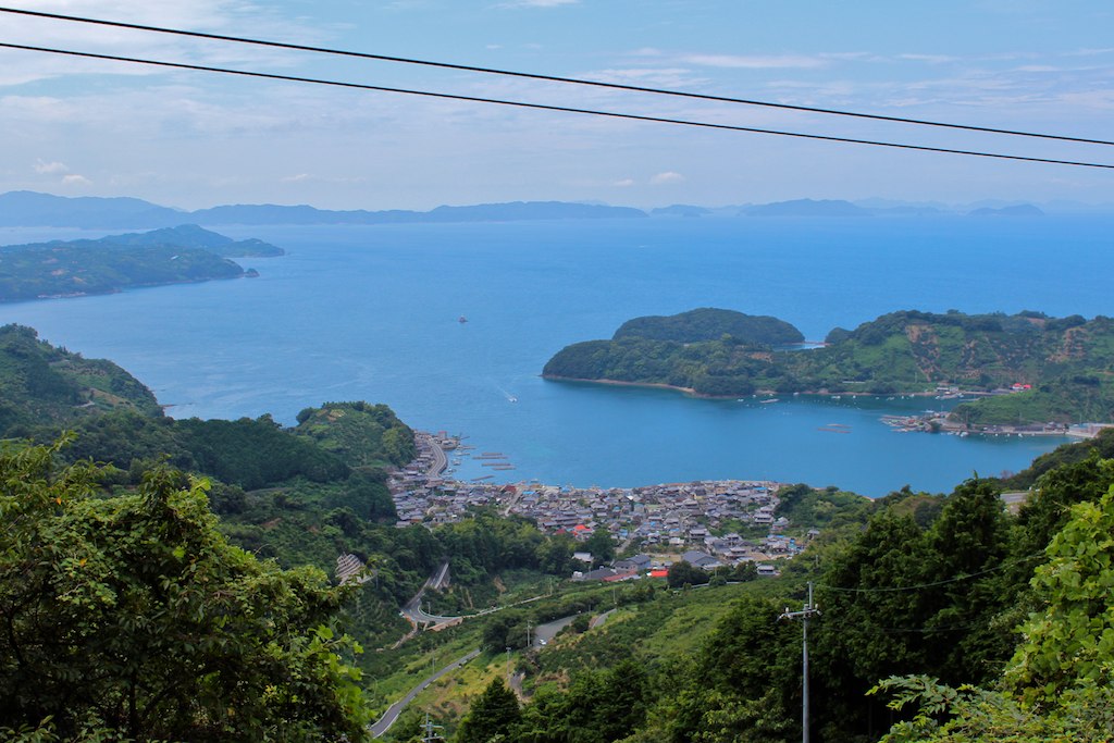
明浜
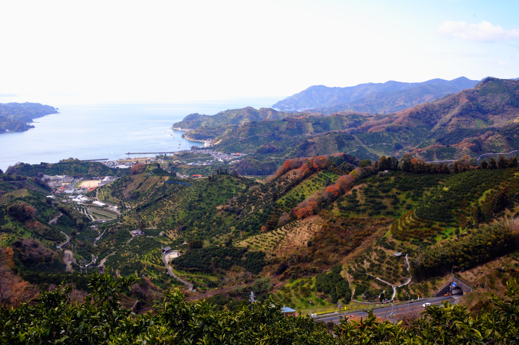
Orange field
Topographic Map of 4- Yoshidachō Chinaga, Uwajima-shi, Ehime-ken -, Japan
Find elevation by address:

Places near 4- Yoshidachō Chinaga, Uwajima-shi, Ehime-ken -, Japan:
Yoshidachō Asakawa, Uwajima-shi, Ehime-ken -, Japan
甲106
Yoshidachō Nagimi, Uwajima-shi, Ehime-ken -, Japan
Uwajima
Uwajima Castle
1 Chome-3 Marunouchi
3 Chome- Uwachō Unomachi, Seiyo-shi, Ehime-ken -, Japan
Seiyo
Kihoku
Izume, Kihoku-chō, Kitauwa-gun, Ehime-ken -, Japan
Nobinono, Matsuno-chō, Kitauwa-gun, Ehime-ken -, Japan
Matsuno
Kitauwa District
Nobukawa, Kihoku-chō, Kitauwa-gun, Ehime-ken -, Japan
モビーディック
1460-11 (sonota)
Yawatahama
Ozu
Ozu
Ozu Castle
Recent Searches:
- Elevation of Corso Fratelli Cairoli, 35, Macerata MC, Italy
- Elevation of Tallevast Rd, Sarasota, FL, USA
- Elevation of 4th St E, Sonoma, CA, USA
- Elevation of Black Hollow Rd, Pennsdale, PA, USA
- Elevation of Oakland Ave, Williamsport, PA, USA
- Elevation of Pedrógão Grande, Portugal
- Elevation of Klee Dr, Martinsburg, WV, USA
- Elevation of Via Roma, Pieranica CR, Italy
- Elevation of Tavkvetili Mountain, Georgia
- Elevation of Hartfords Bluff Cir, Mt Pleasant, SC, USA