Elevation of Matsuno, Kitauwa District, Ehime Prefecture, Japan
Location: Japan > Ehime Prefecture > Kitauwa District >
Longitude: 132.7107986
Latitude: 33.2271893
Elevation: 87m / 285feet
Barometric Pressure: 0KPa
Related Photos:
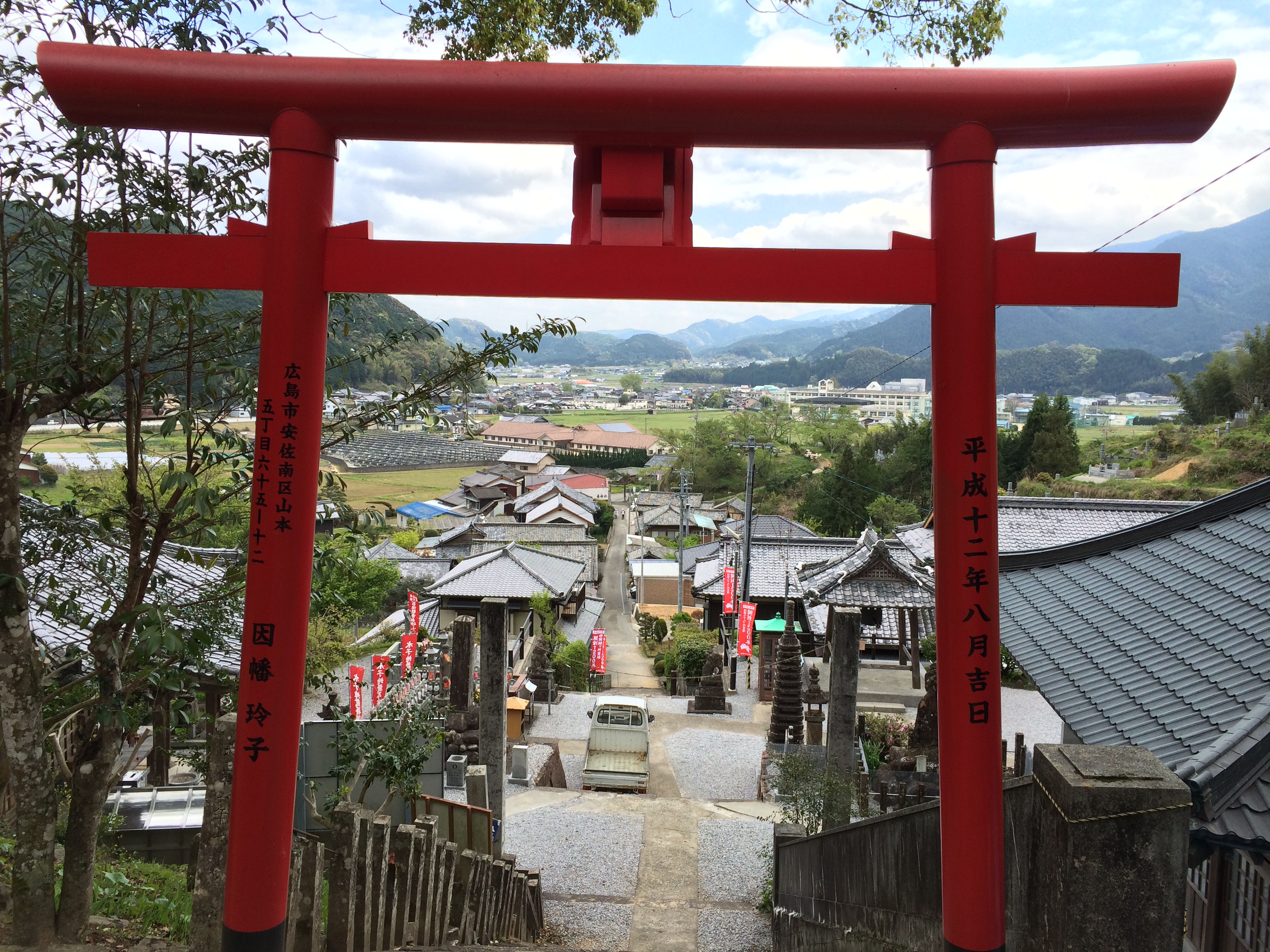
IMG_2142
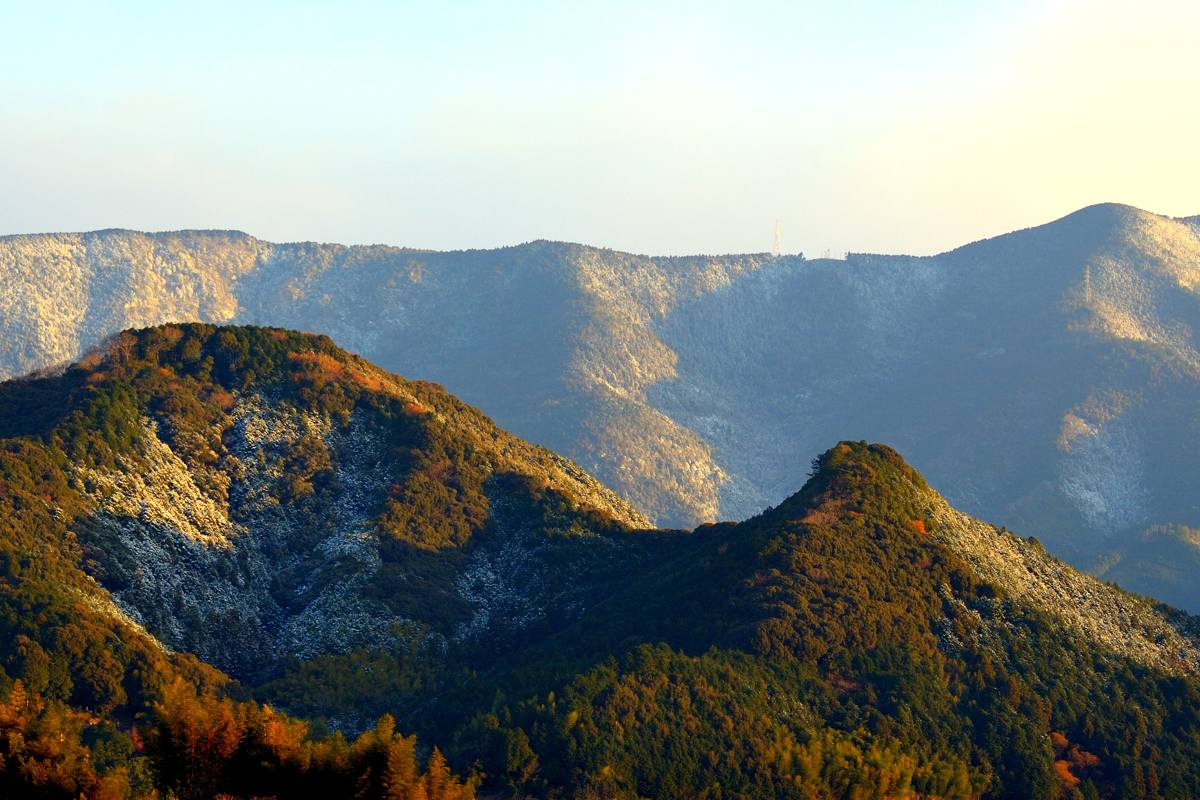
黒尊川の紅葉
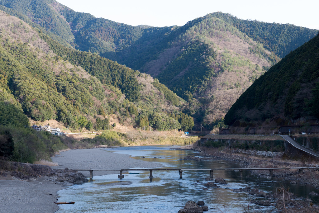
長生沈下橋
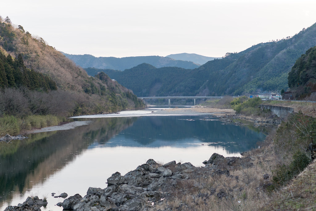
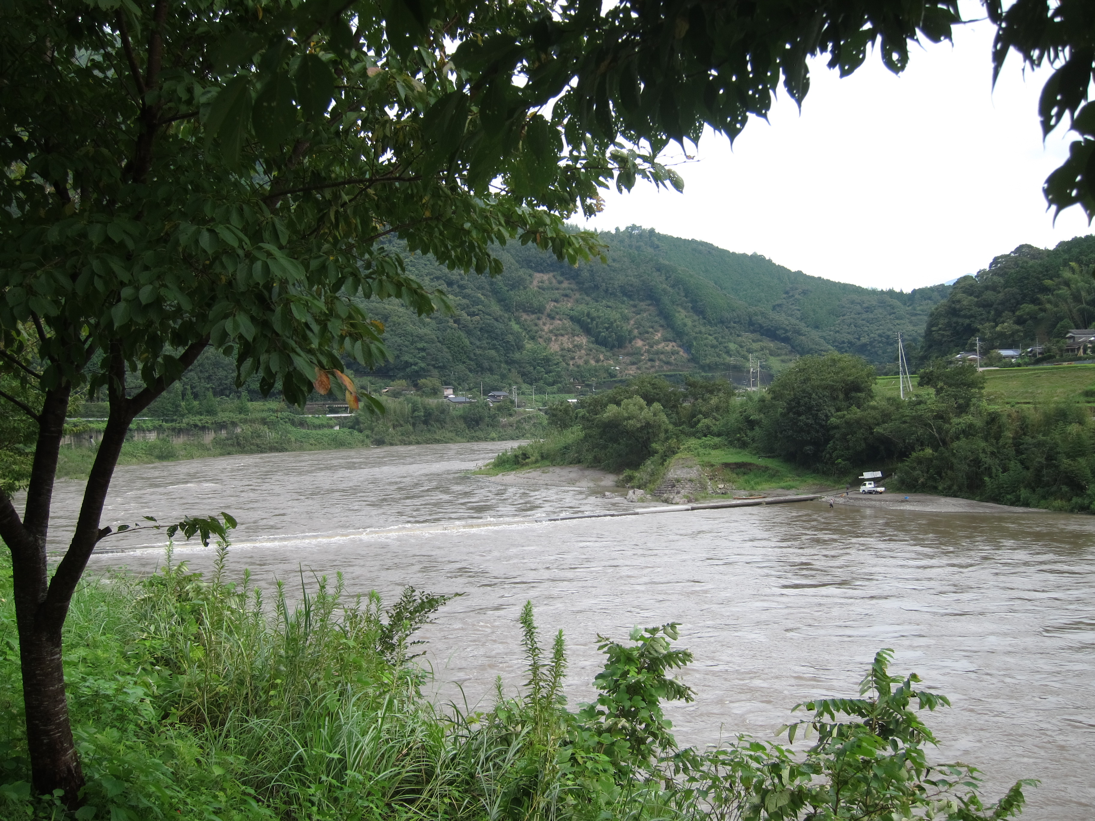
四万十川
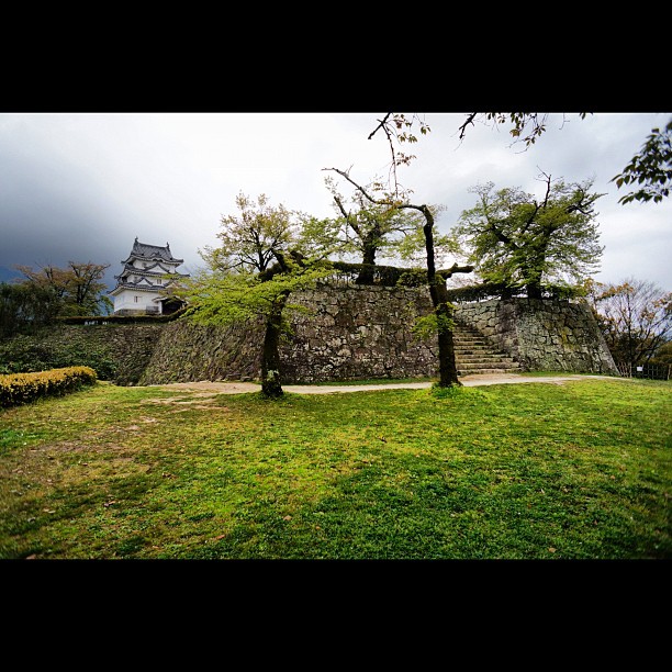
宇和島城6 #castle
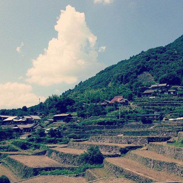
遊鶴羽の棚田。まだまだ夏の雲。
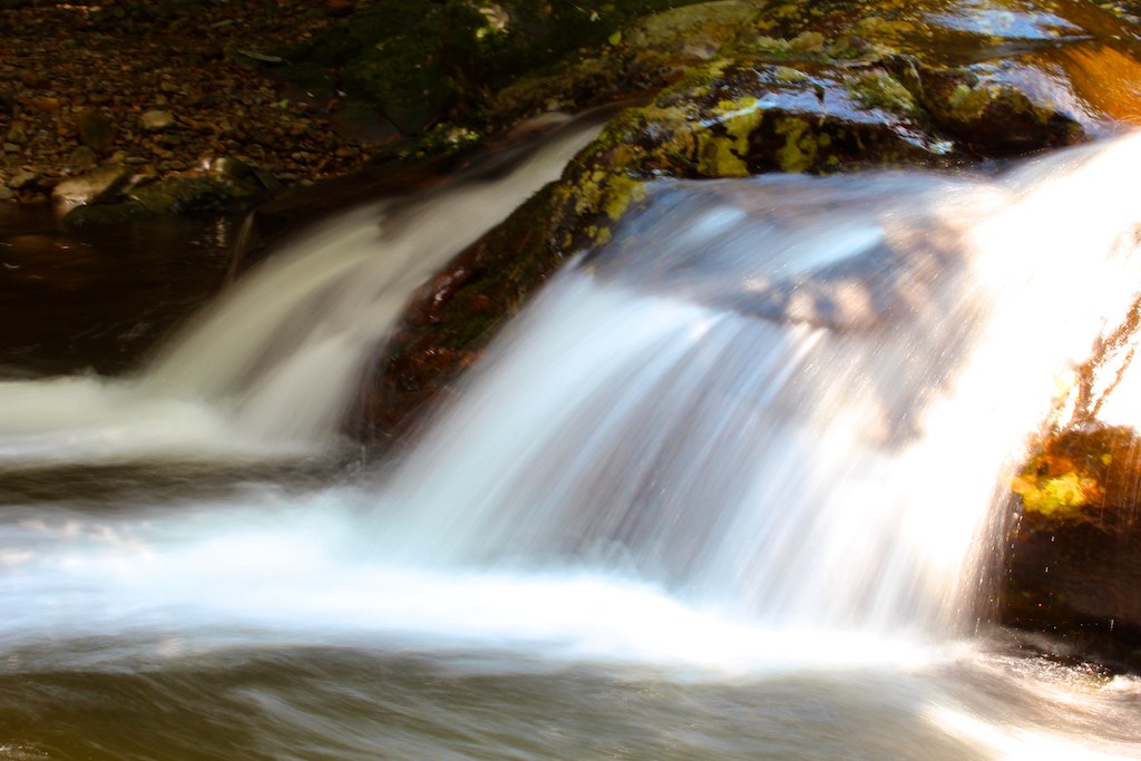
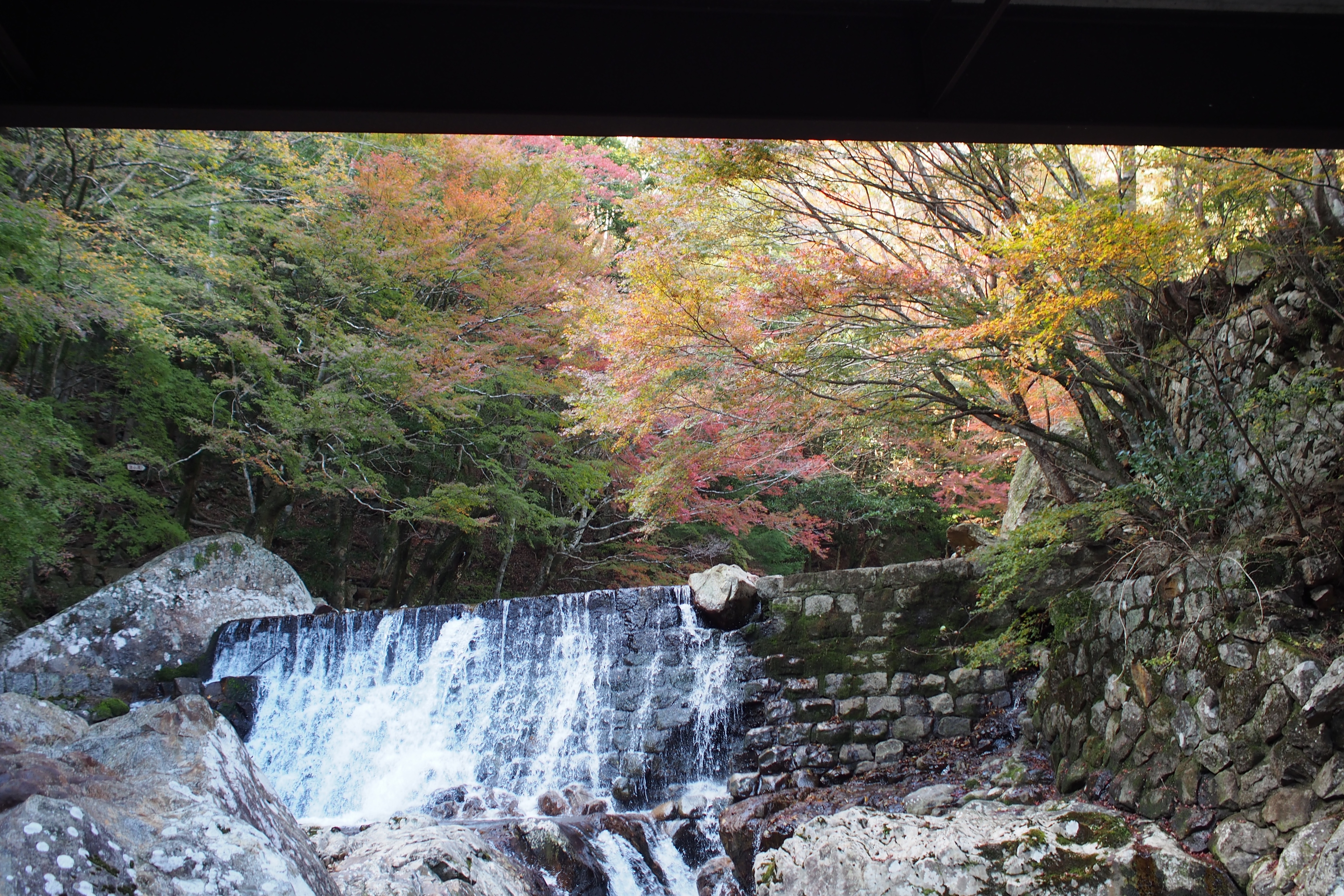
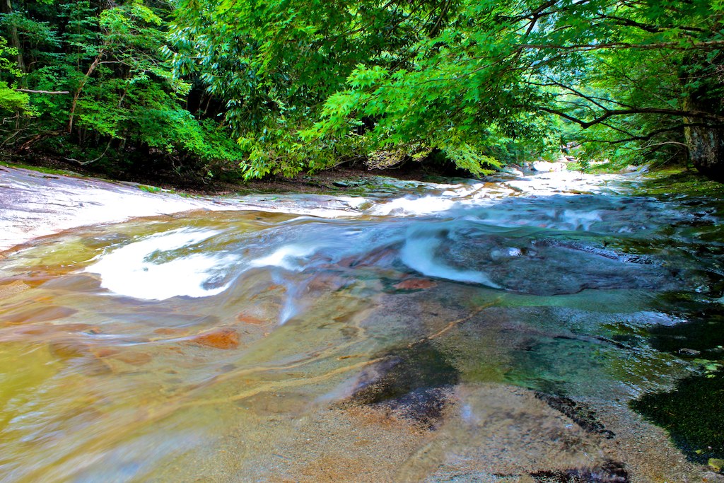
滑床渓谷

黒尊川
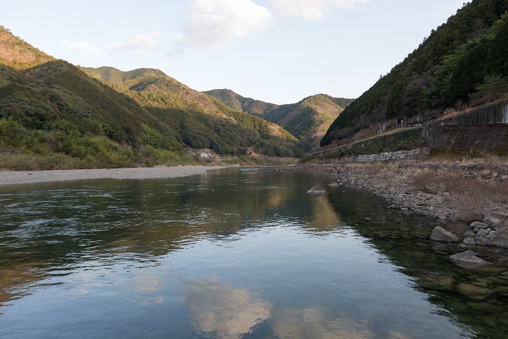
四万十川
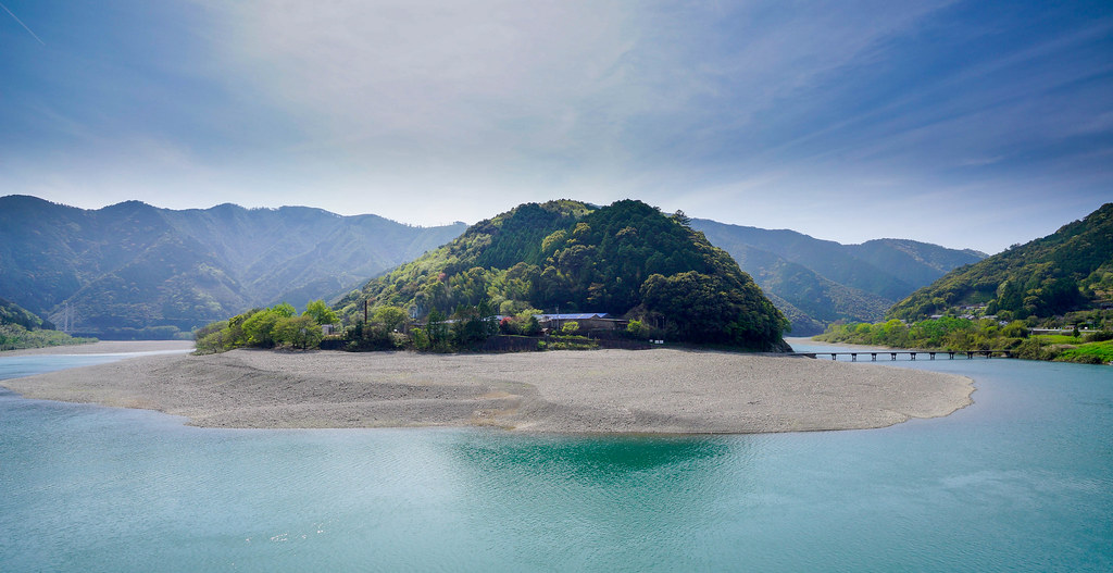
Shimanto River (Kochi, Japan)
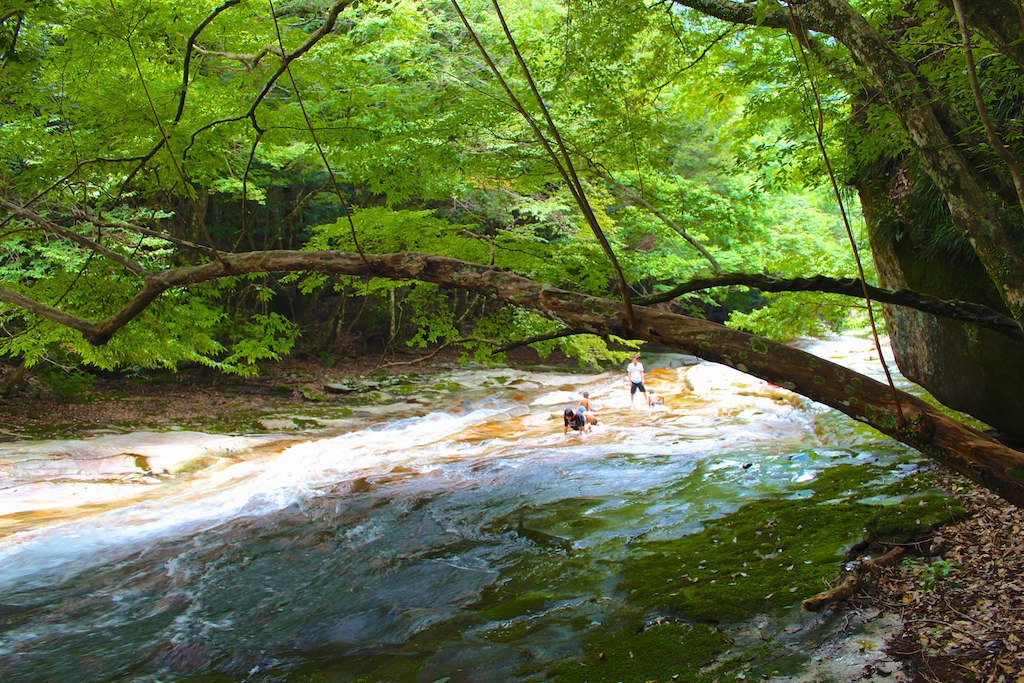
滑床渓谷

Shimanto-river
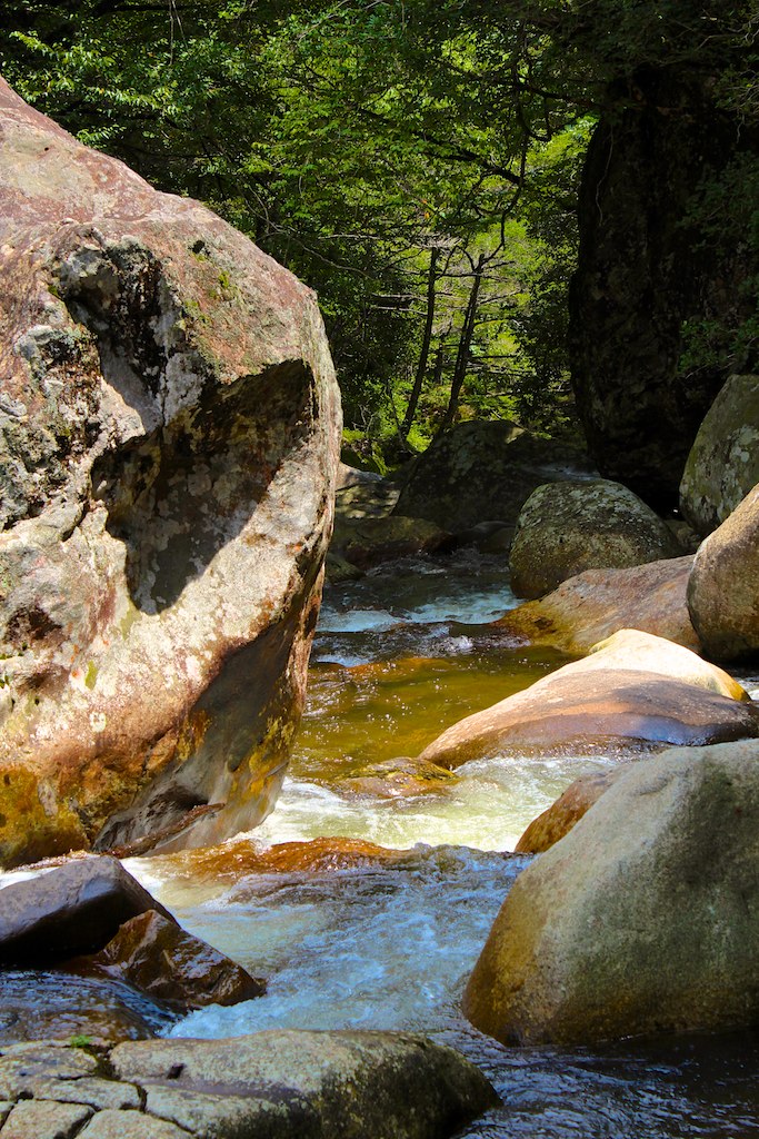
滑床渓谷
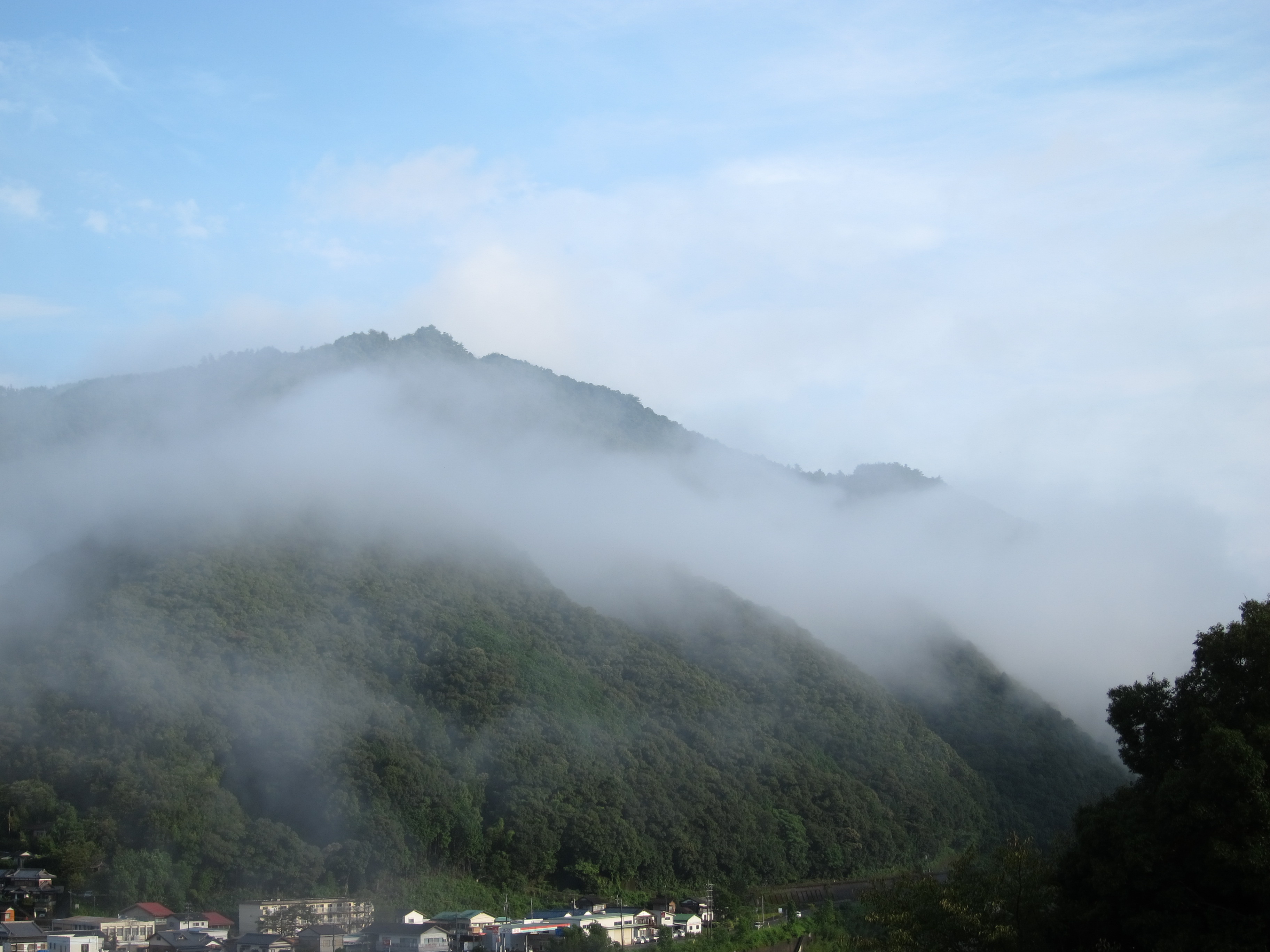
Cold morning !
滑床渓谷
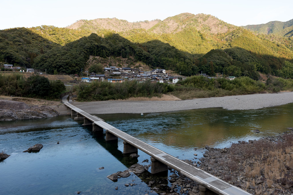
長生沈下橋
IMG_9790.jpg
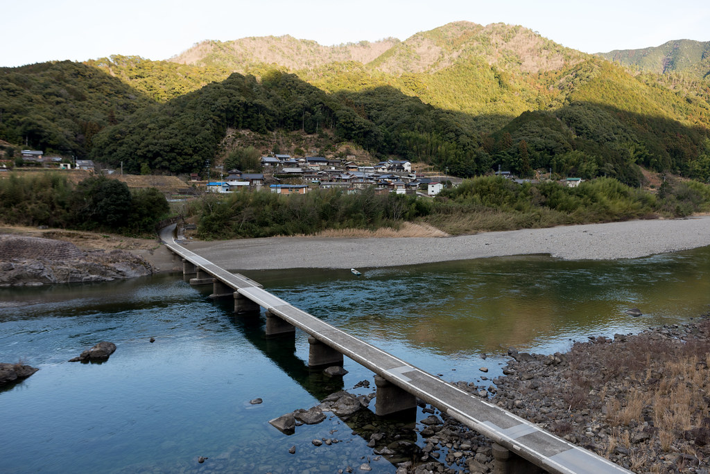
長生沈下橋
IMG_9799.jpg
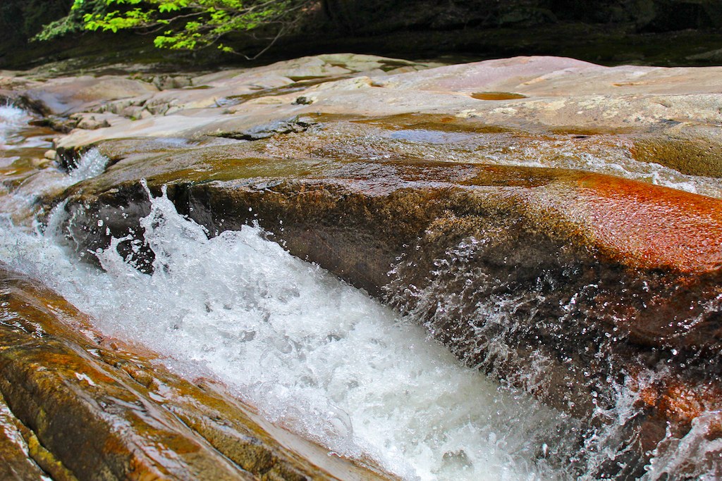
滑床渓谷
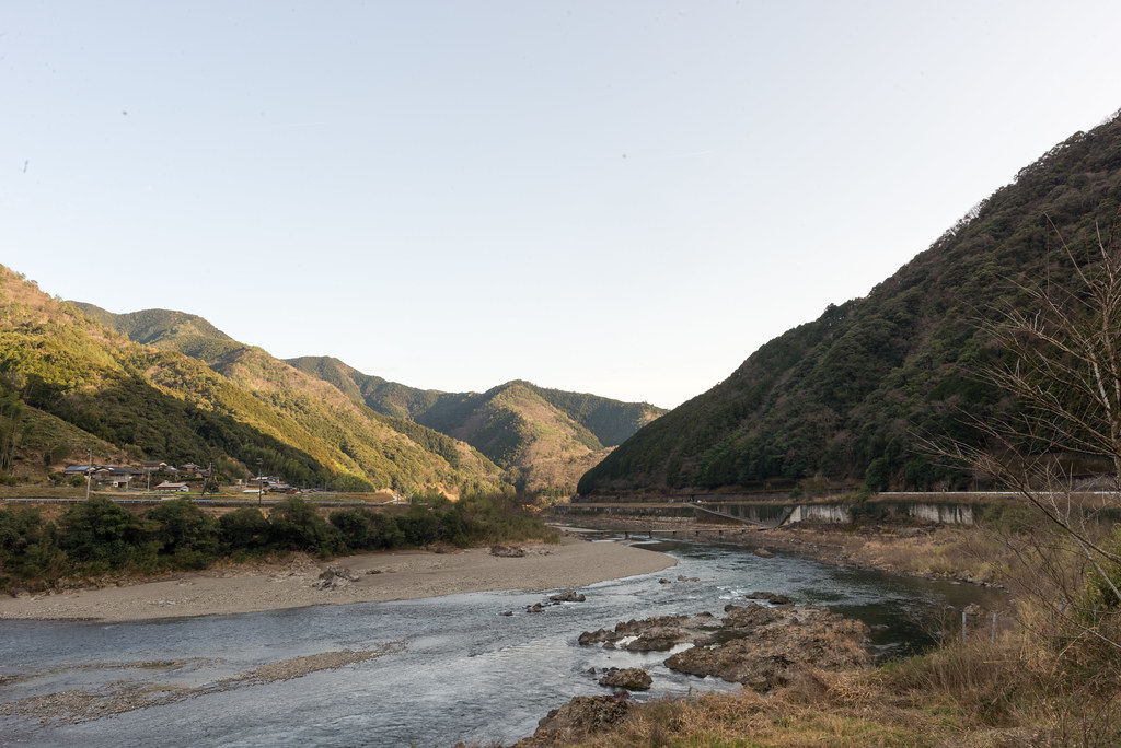
四万十川
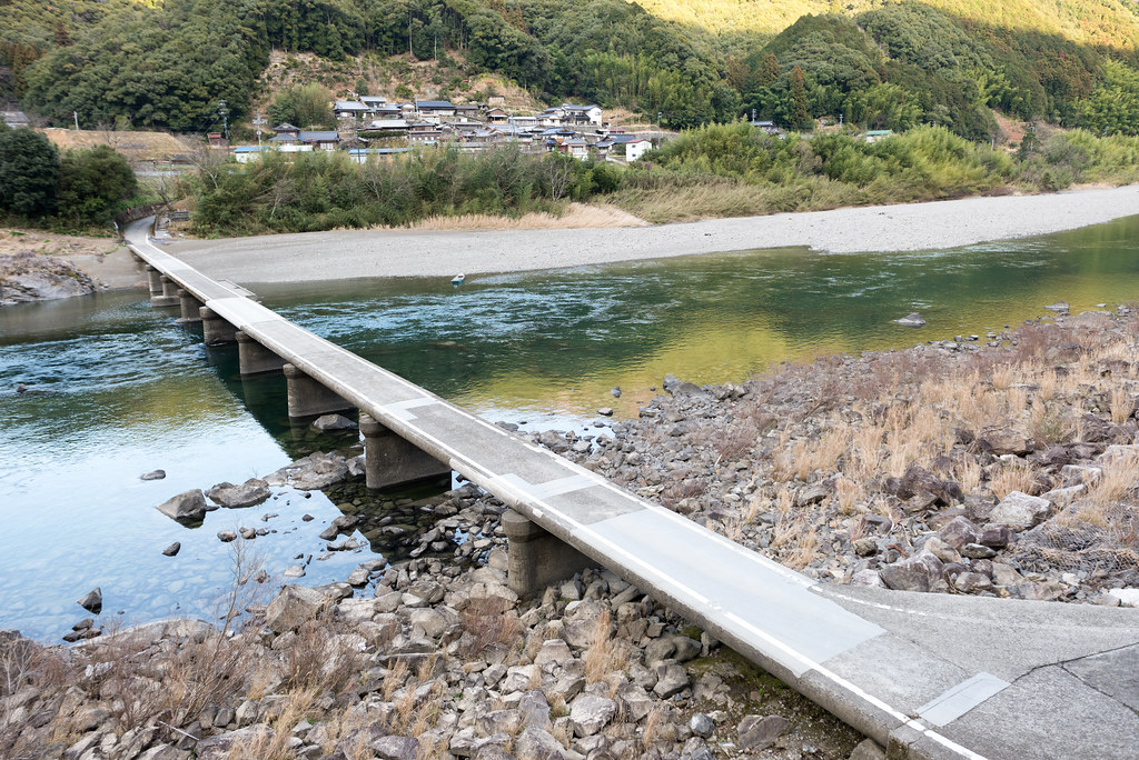
長生沈下橋
Topographic Map of Matsuno, Kitauwa District, Ehime Prefecture, Japan
Find elevation by address:

Places in Matsuno, Kitauwa District, Ehime Prefecture, Japan:
Places near Matsuno, Kitauwa District, Ehime Prefecture, Japan:
Nobinono, Matsuno-chō, Kitauwa-gun, Ehime-ken -, Japan
Izume, Kihoku-chō, Kitauwa-gun, Ehime-ken -, Japan
Kihoku
Kitauwa District
Nobukawa, Kihoku-chō, Kitauwa-gun, Ehime-ken -, Japan
1 Chome-3 Marunouchi
Uwajima Castle
Uwajima
4- Yoshidachō Chinaga, Uwajima-shi, Ehime-ken -, Japan
甲106
Yoshidachō Asakawa, Uwajima-shi, Ehime-ken -, Japan
Yoshidachō Nagimi, Uwajima-shi, Ehime-ken -, Japan
3 Chome- Uwachō Unomachi, Seiyo-shi, Ehime-ken -, Japan
Seiyo
Taishō, Shimanto-chō, Takaoka-gun, Kōchi-ken -, Japan
Midoriotsu, Ainan-chō, Minamiuwa-gun, Ehime-ken -, Japan
Minamiuwa District
Iibo, Yusuhara-chō, Takaoka-gun, Kōchi-ken -, Japan
Yusuhara
Yusuhara
Recent Searches:
- Elevation of 908, Northwood Drive, Bridge Field, Chesapeake, Virginia, 23322, USA
- Elevation map of Nagano Prefecture, Japan
- Elevation of 587, Bascule Drive, Oakdale, Stanislaus County, California, 95361, USA
- Elevation of Stadion Wankdorf, Sempachstrasse, Breitfeld, Bern, Bern-Mittelland administrative district, Bern, 3014, Switzerland
- Elevation of Z024, 76, Emil-von-Behring-Straße, Marbach, Marburg, Landkreis Marburg-Biedenkopf, Hesse, 35041, Germany
- Elevation of Gaskill Road, Hunts Cross, Liverpool, England, L24 9PH, United Kingdom
- Elevation of Speke, Liverpool, England, L24 9HD, United Kingdom
- Elevation of Seqirus, 475, Green Oaks Parkway, Holly Springs, Wake County, North Carolina, 27540, USA
- Elevation of Pasing, Munich, Bavaria, 81241, Germany
- Elevation of 24, Auburn Bay Crescent SE, Auburn Bay, Calgary, Alberta, T3M 0A6, Canada
- Elevation of Denver, 2314, Arapahoe Street, Five Points, Denver, Colorado, 80205, USA
- Elevation of Community of the Beatitudes, 2924, West 43rd Avenue, Sunnyside, Denver, Colorado, 80211, USA
- Elevation map of Litang County, Sichuan, China
- Elevation map of Madoi County, Qinghai, China
- Elevation of 3314, Ohio State Route 114, Payne, Paulding County, Ohio, 45880, USA
- Elevation of Sarahills Drive, Saratoga, Santa Clara County, California, 95070, USA
- Elevation of Town of Bombay, Franklin County, New York, USA
- Elevation of 9, Convent Lane, Center Moriches, Suffolk County, New York, 11934, USA
- Elevation of Saint Angelas Convent, 9, Convent Lane, Center Moriches, Suffolk County, New York, 11934, USA
- Elevation of 131st Street Southwest, Mukilteo, Snohomish County, Washington, 98275, USA