Elevation of Tateishi, Uchiko-chō, Kita-gun, Ehime-ken -, Japan
Location: Japan > Ehime Prefecture > Kita District > Uchiko >
Longitude: 132.761117
Latitude: 33.5727299
Elevation: 287m / 942feet
Barometric Pressure: 98KPa
Elevation Map:
Satellite Map:
Related Photos:
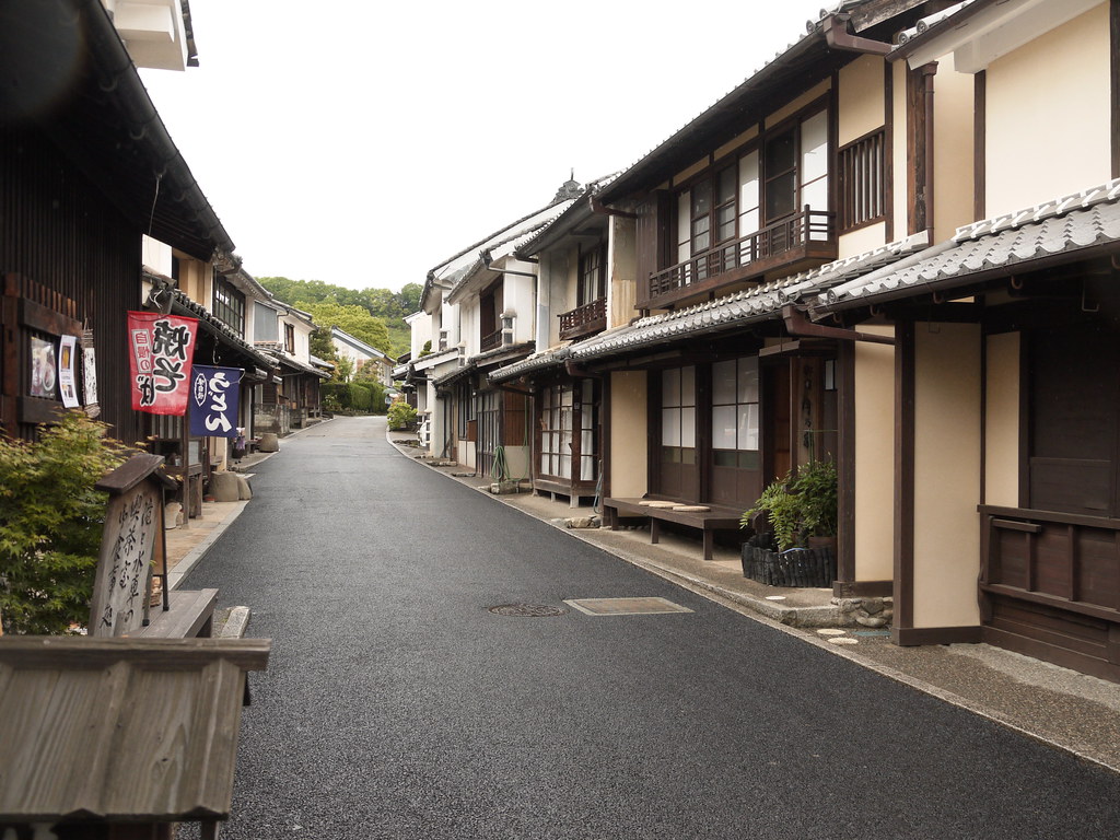
street view@Uchiko,Ehime,Japan
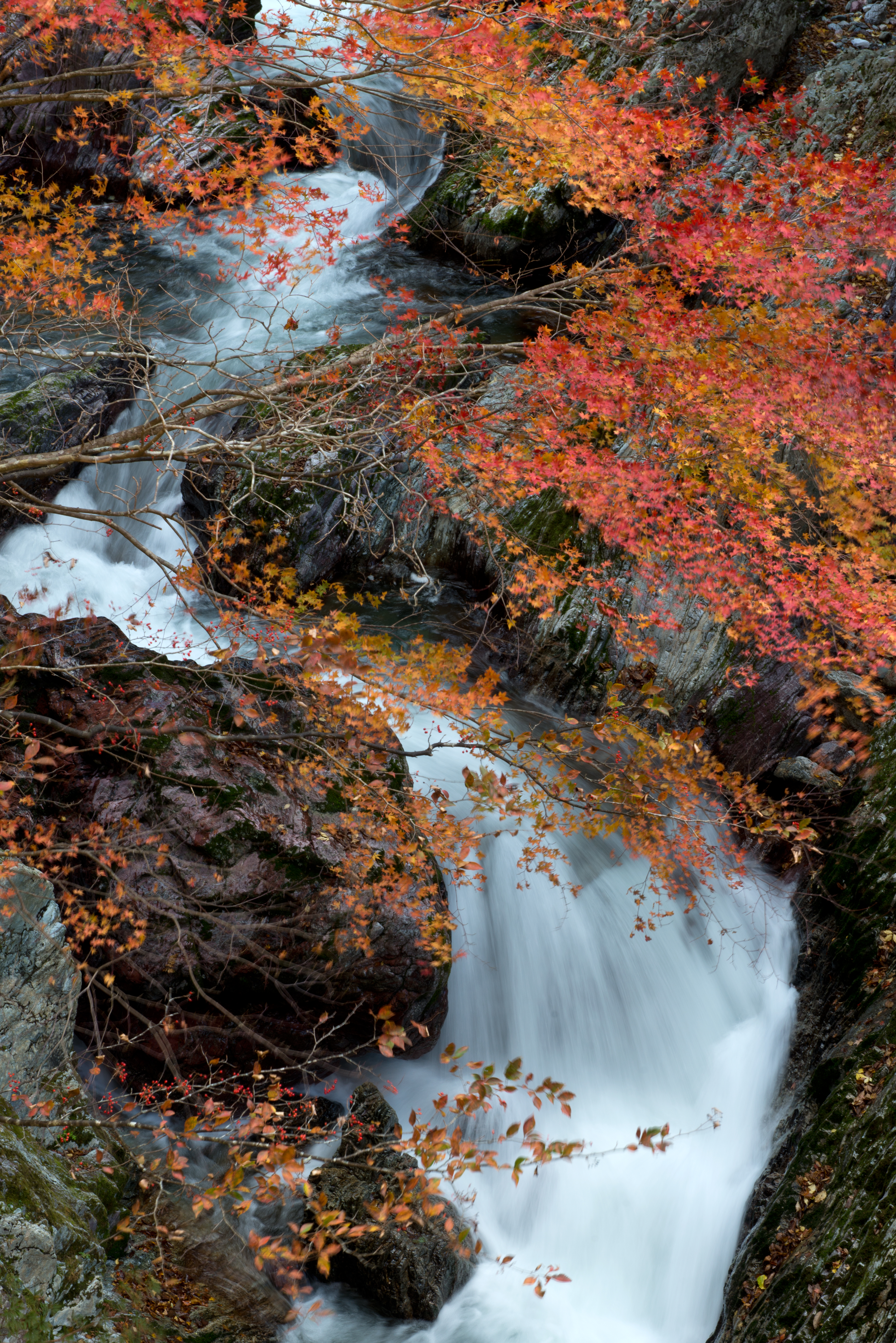
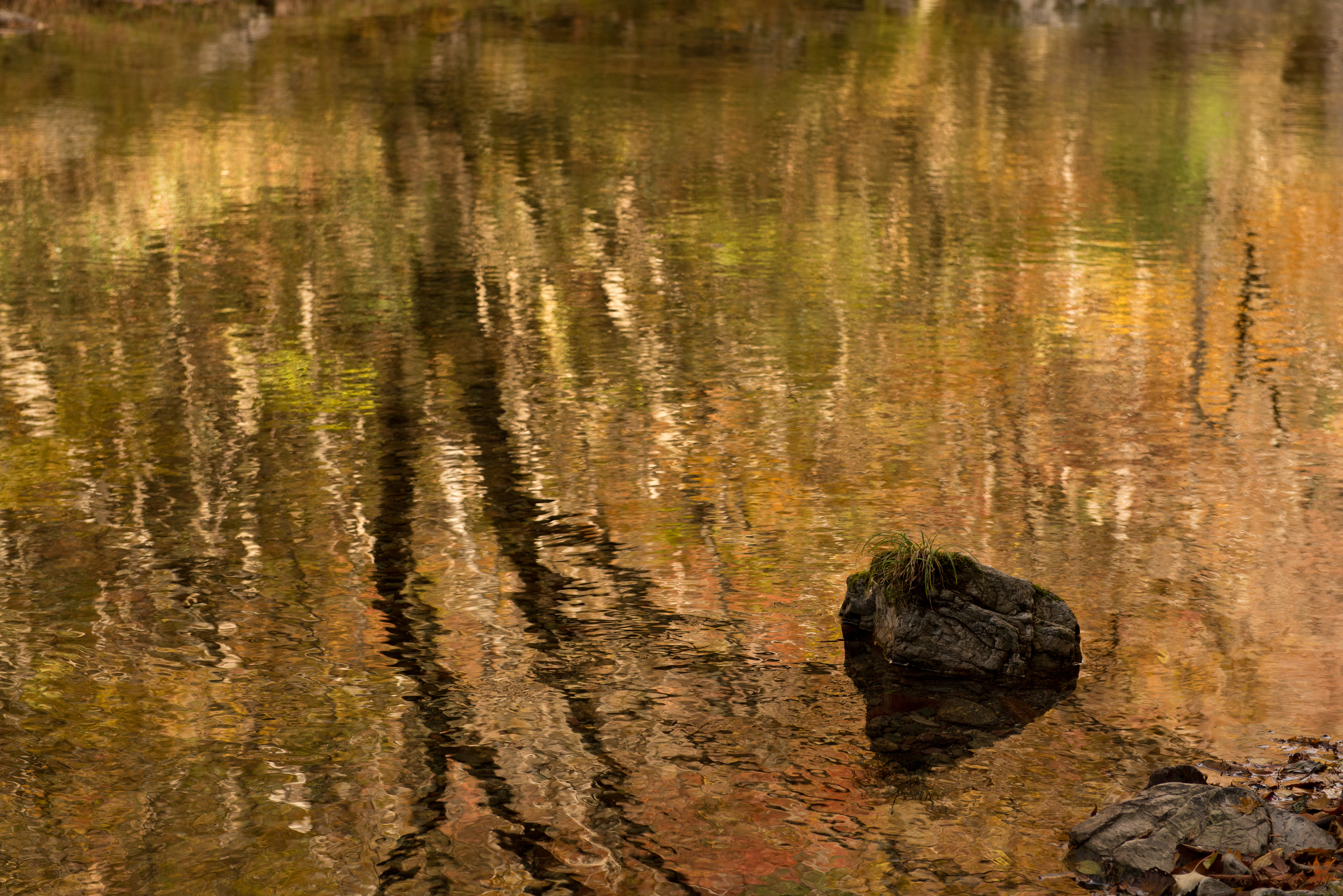
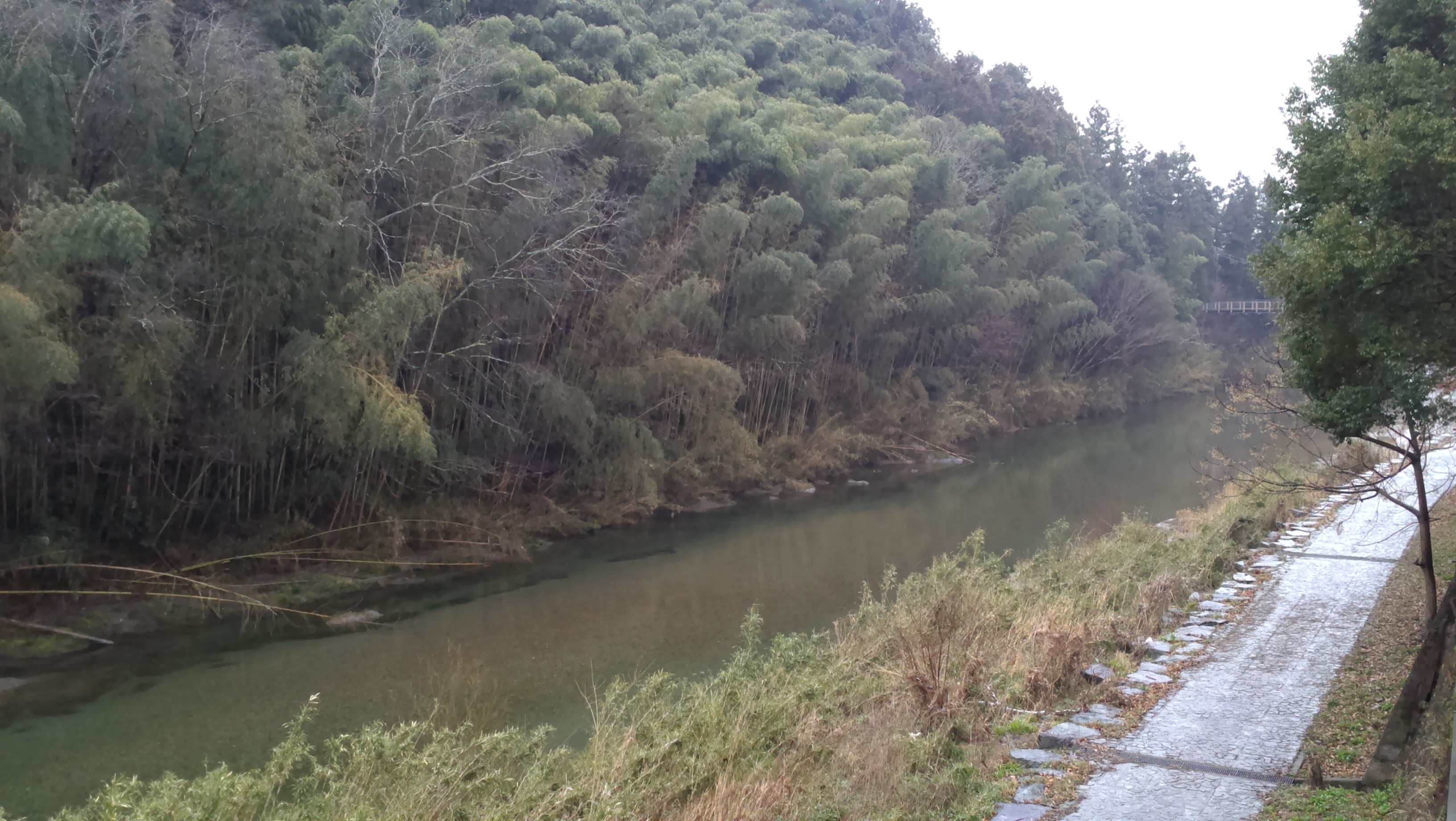
秋流るる
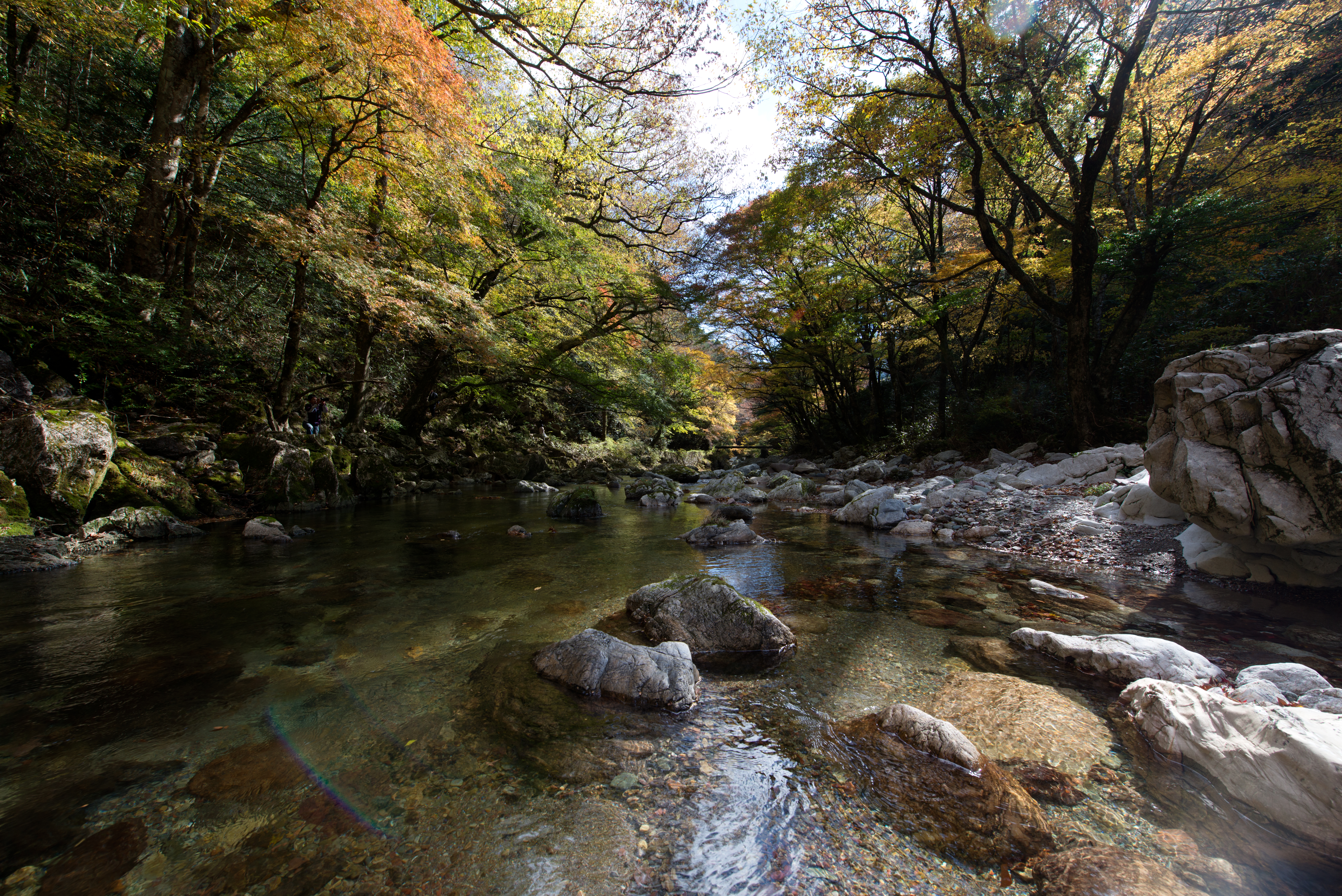
秋光浴
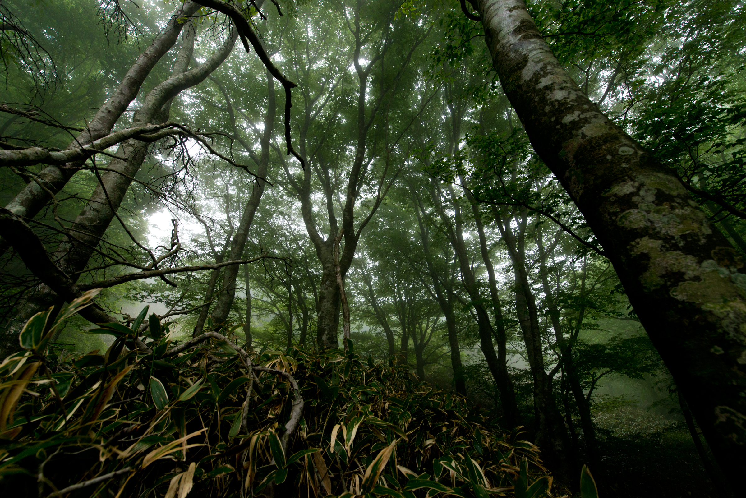
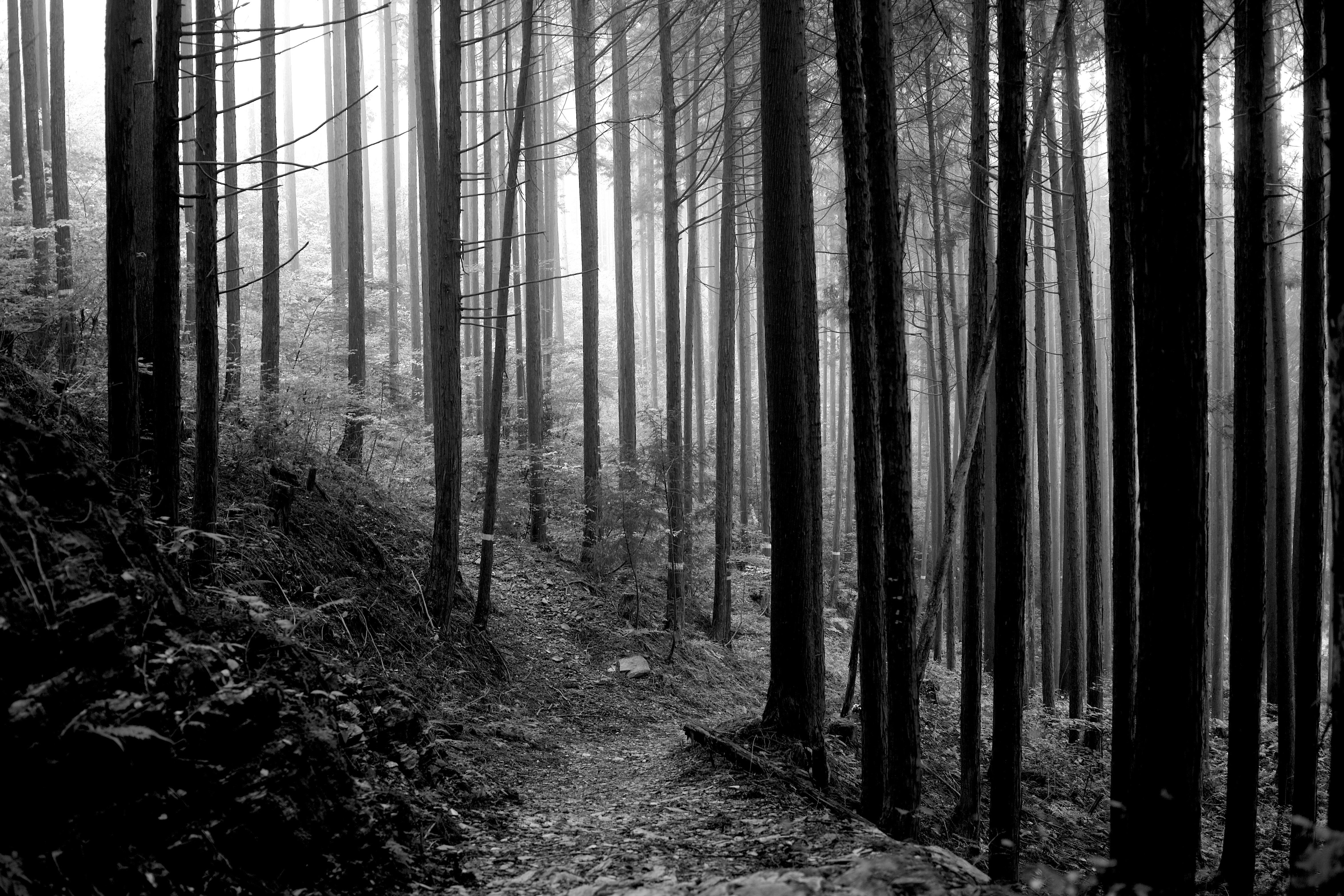
霧立ち込めるブナの森
夢絵巻

秋への架け橋
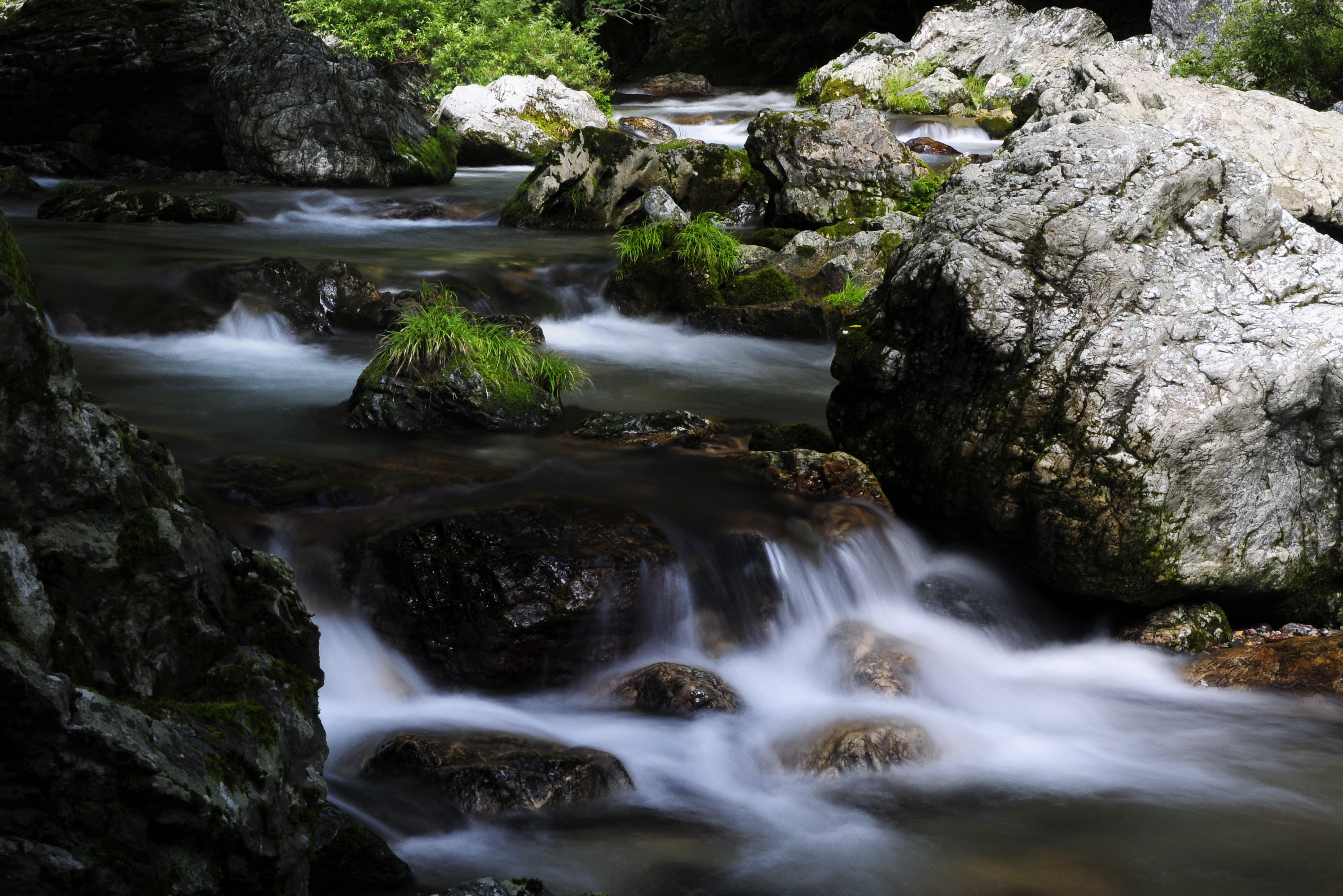
silent woods
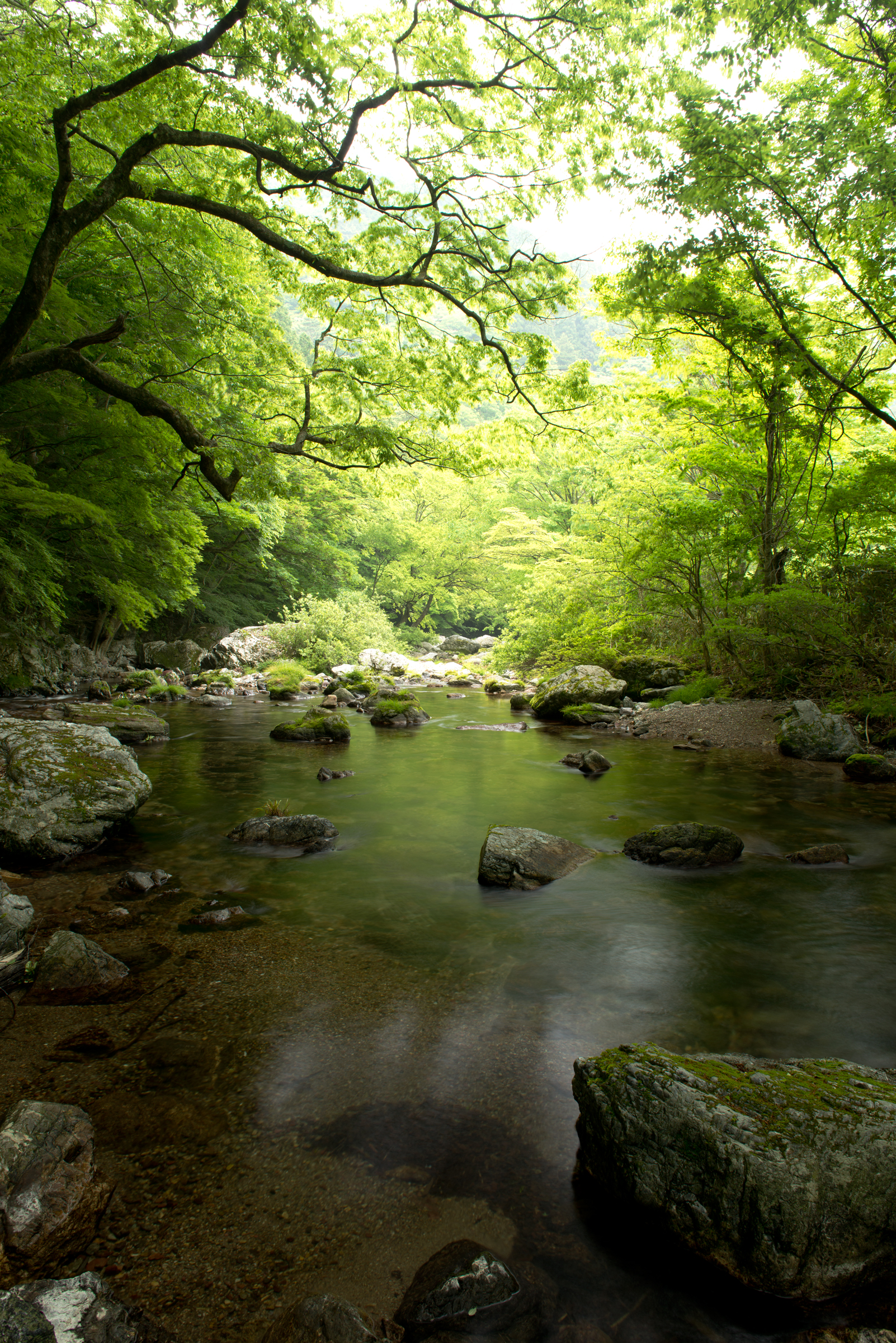
新緑薫る
Cool place

空の上
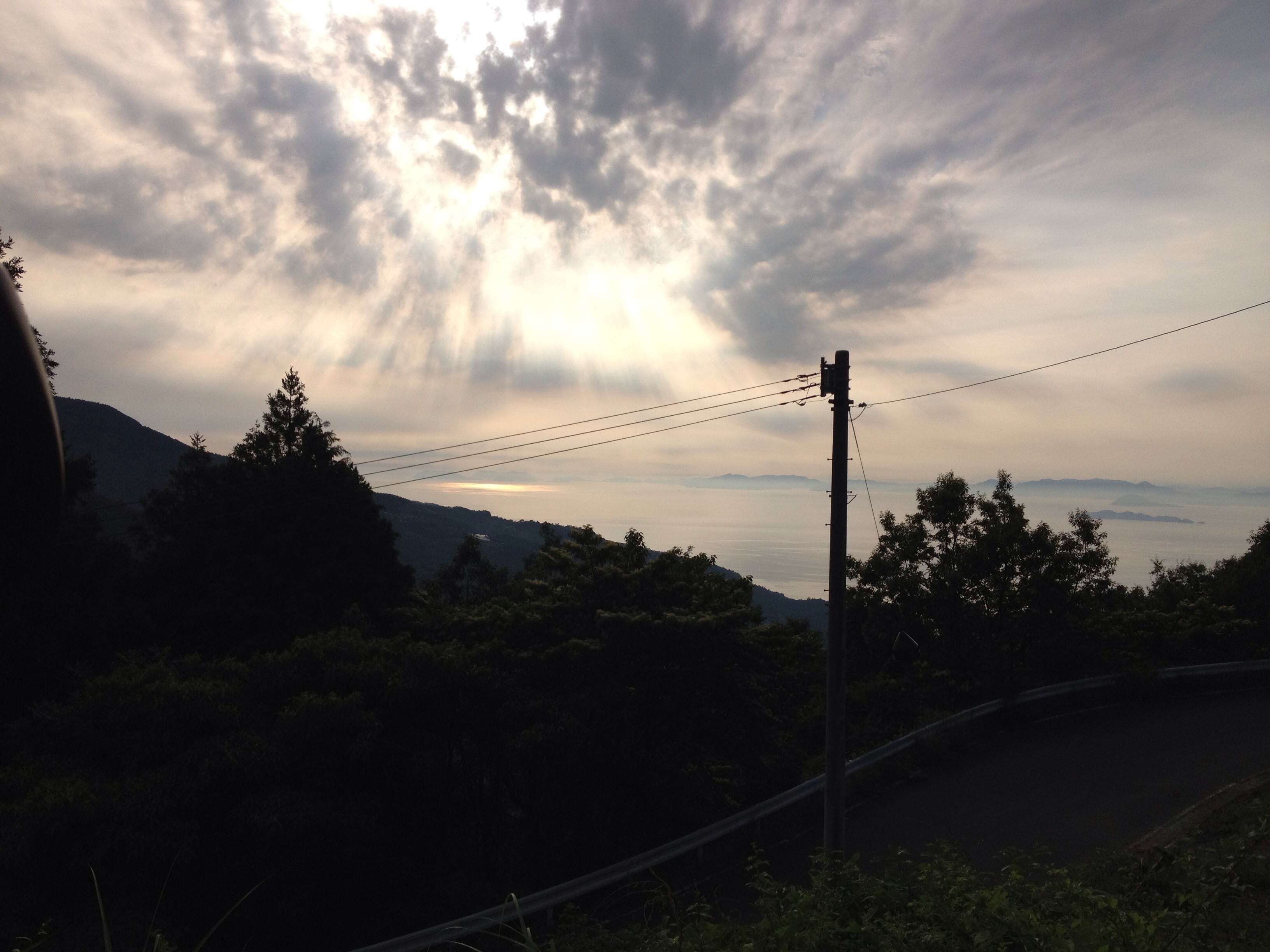
2013/6/22
P1070960 - バージョン 2
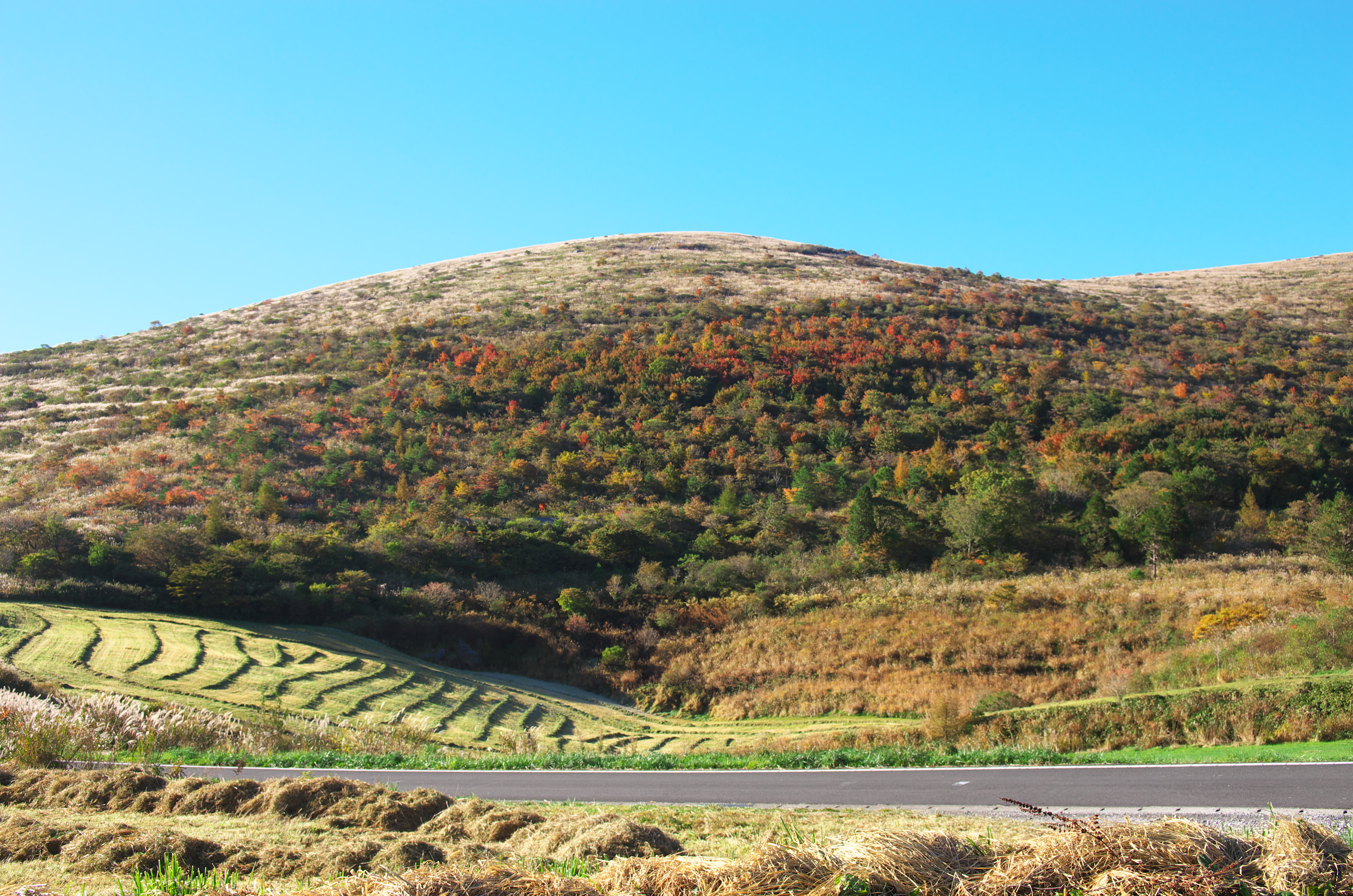
Highland in Shikoku
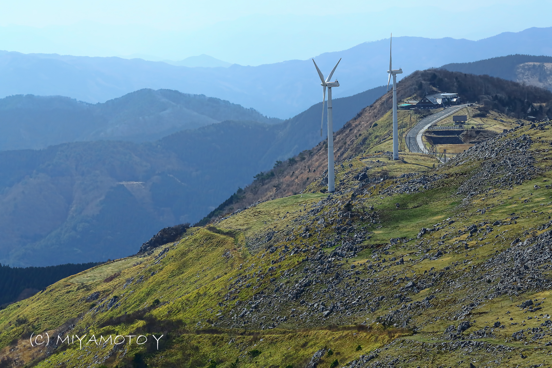
2013/6/22

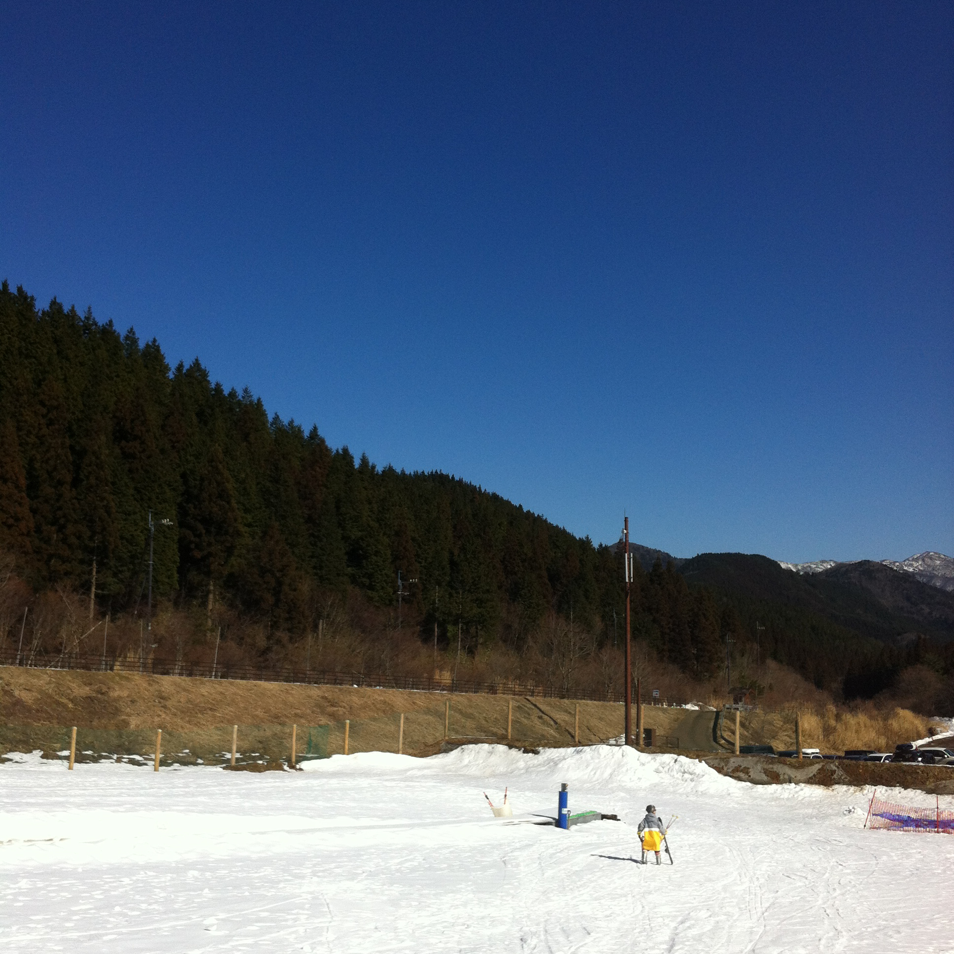
Plana skiing ground, skicenter
IMG_0642.jpg

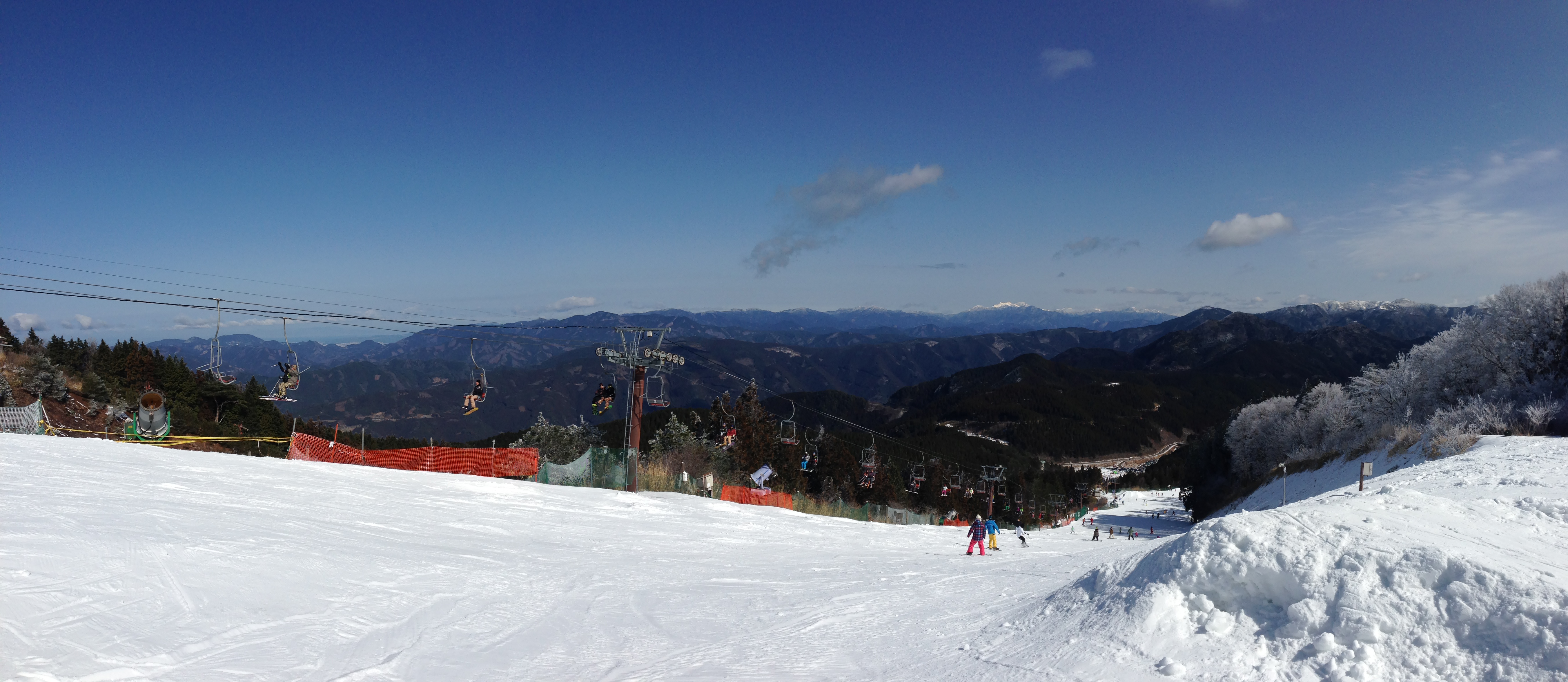
Solfa Oda skiing ground No.2 chairlift, Mt.topstation

Plana skiing ground, overview
SOLFA ODA
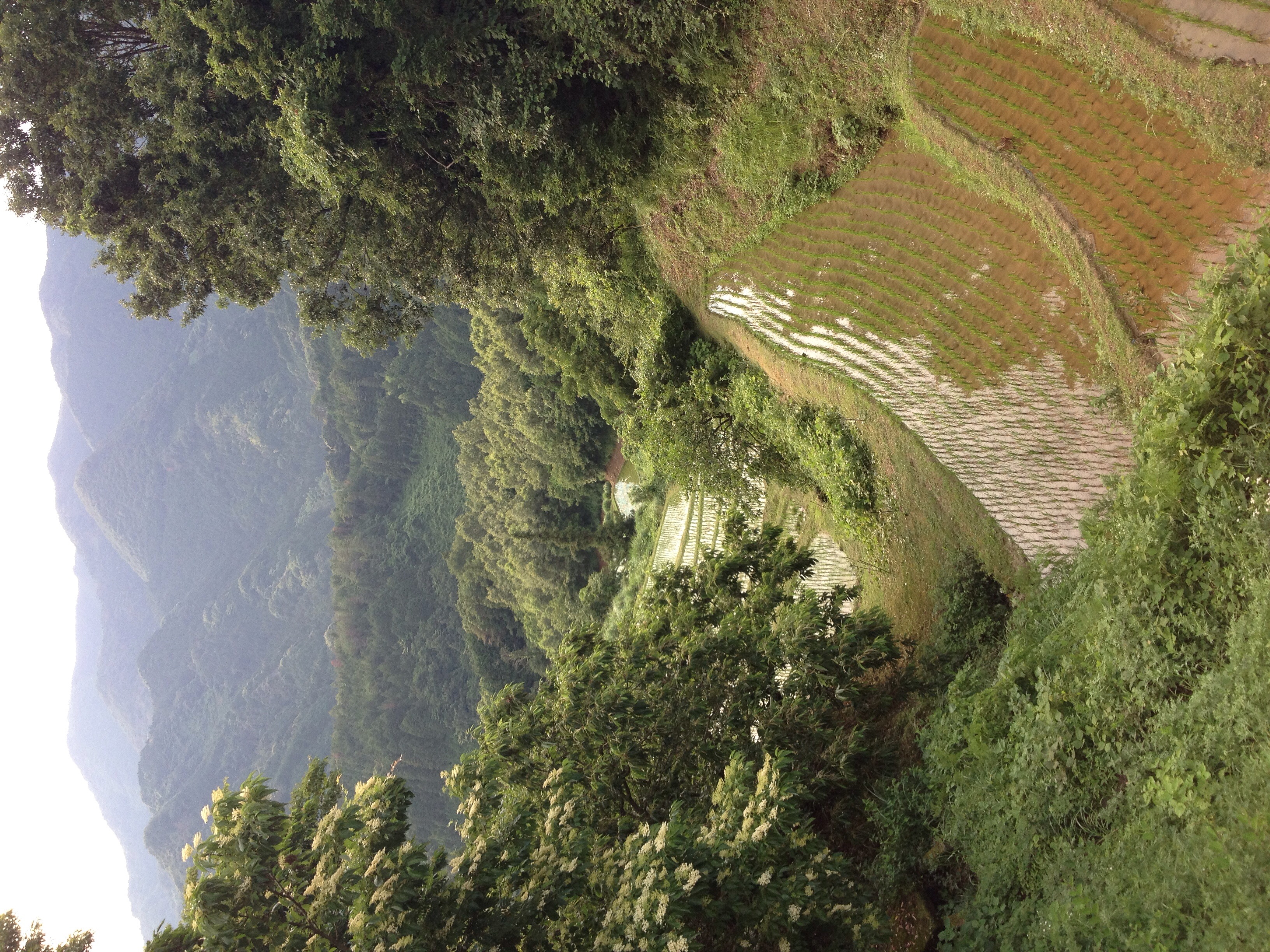
あぐり亭
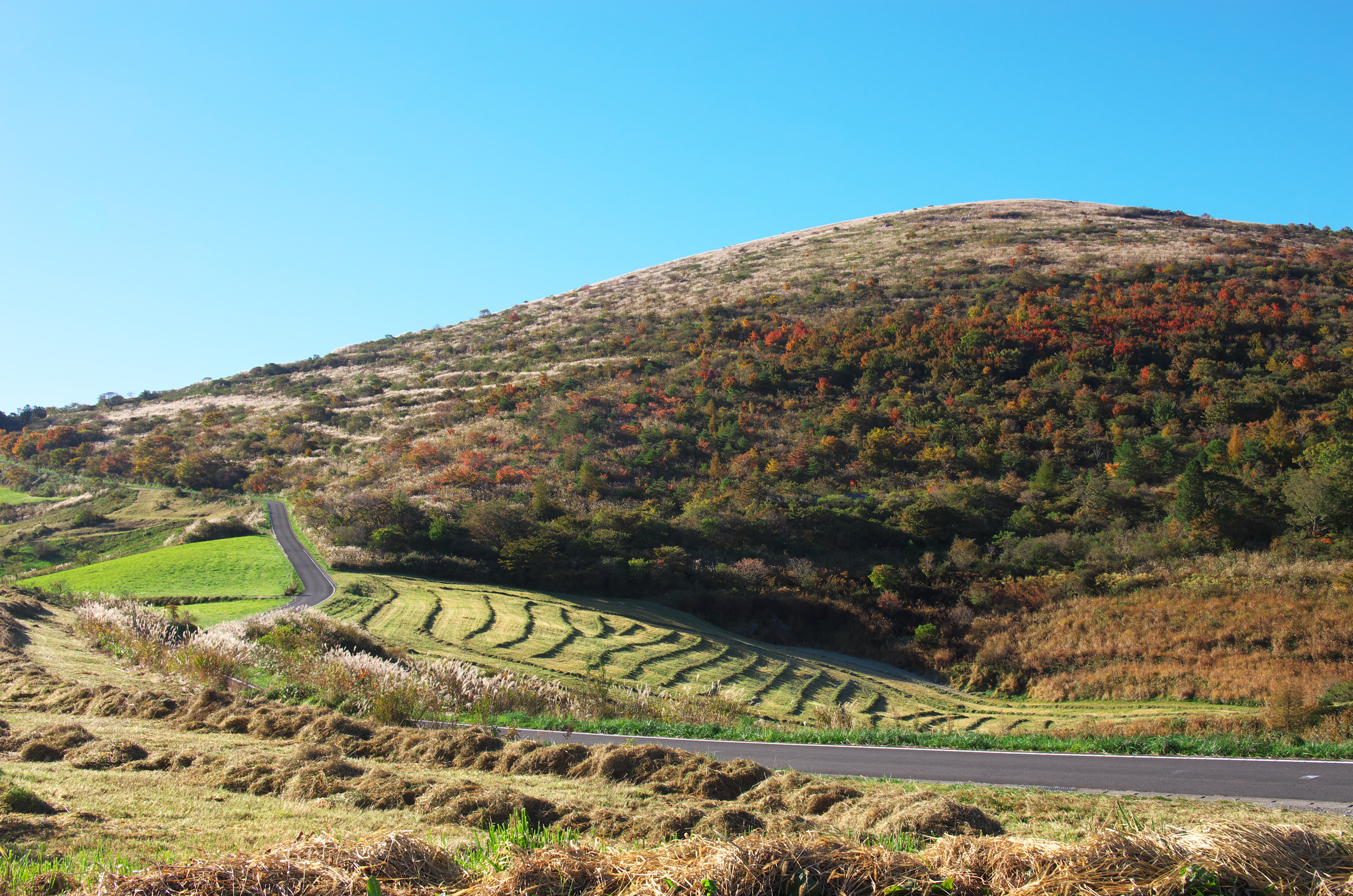
四国カルスト
四国カルスト
Topographic Map of Tateishi, Uchiko-chō, Kita-gun, Ehime-ken -, Japan
Find elevation by address:

Places near Tateishi, Uchiko-chō, Kita-gun, Ehime-ken -, Japan:
Kita District
Ōhira, Uchiko-chō, Kita-gun, Ehime-ken -, Japan
Nakayamacho Izubuchi
Uchiko
Uchiko, Uchiko-chō, Kita-gun, Ehime-ken -, Japan
Mannen, Tobe-chō, Iyo-gun, Ehime-ken -, Japan
Iyo District
Kumakogen
-2 Kuma, Kumakōgen-chō, Kamiukena-gun, Ehime-ken -, Japan
ふじ団地集会所
198 Kitakawage
Tobe
Kutanimachi, Matsuyama-shi, Ehime-ken -, Japan
Kubonomachi, Matsuyama-shi, Ehime-ken -, Japan
Kamiukena District
-3 Nakamura, Ōzu-shi, Ehime-ken -, Japan
Ozu
Ozu
Ozu Castle
Nanatori, Kumakōgen-chō, Kamiukena-gun, Ehime-ken -, Japan
Recent Searches:
- Elevation of Corso Fratelli Cairoli, 35, Macerata MC, Italy
- Elevation of Tallevast Rd, Sarasota, FL, USA
- Elevation of 4th St E, Sonoma, CA, USA
- Elevation of Black Hollow Rd, Pennsdale, PA, USA
- Elevation of Oakland Ave, Williamsport, PA, USA
- Elevation of Pedrógão Grande, Portugal
- Elevation of Klee Dr, Martinsburg, WV, USA
- Elevation of Via Roma, Pieranica CR, Italy
- Elevation of Tavkvetili Mountain, Georgia
- Elevation of Hartfords Bluff Cir, Mt Pleasant, SC, USA