Elevation of Ozark County, MO, USA
Location: United States > Missouri >
Longitude: -92.381362
Latitude: 36.6720061
Elevation: 281m / 922feet
Barometric Pressure: 98KPa
Elevation Map:
Satellite Map:
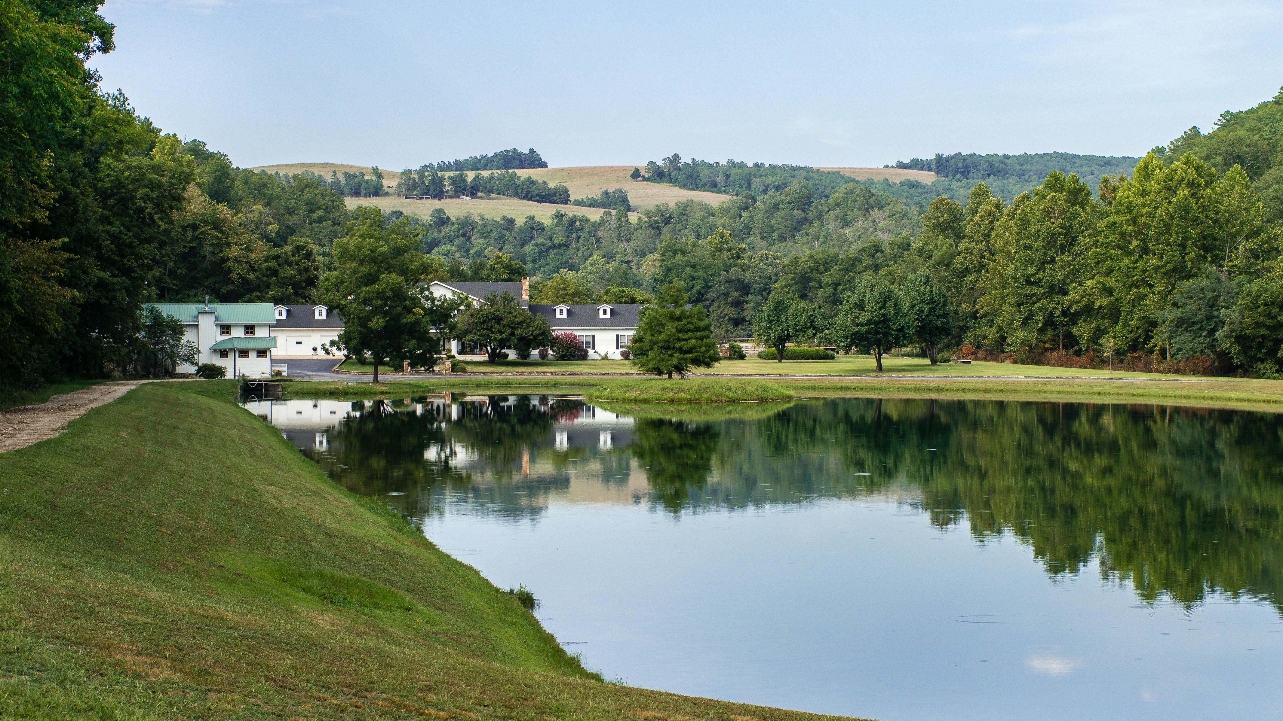
Related Photos:

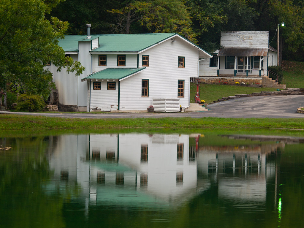
Rockbridge Grist Mill

Bryant Creek
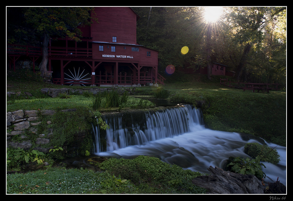
Hodgson Water Mill - Sunburst through the Trees
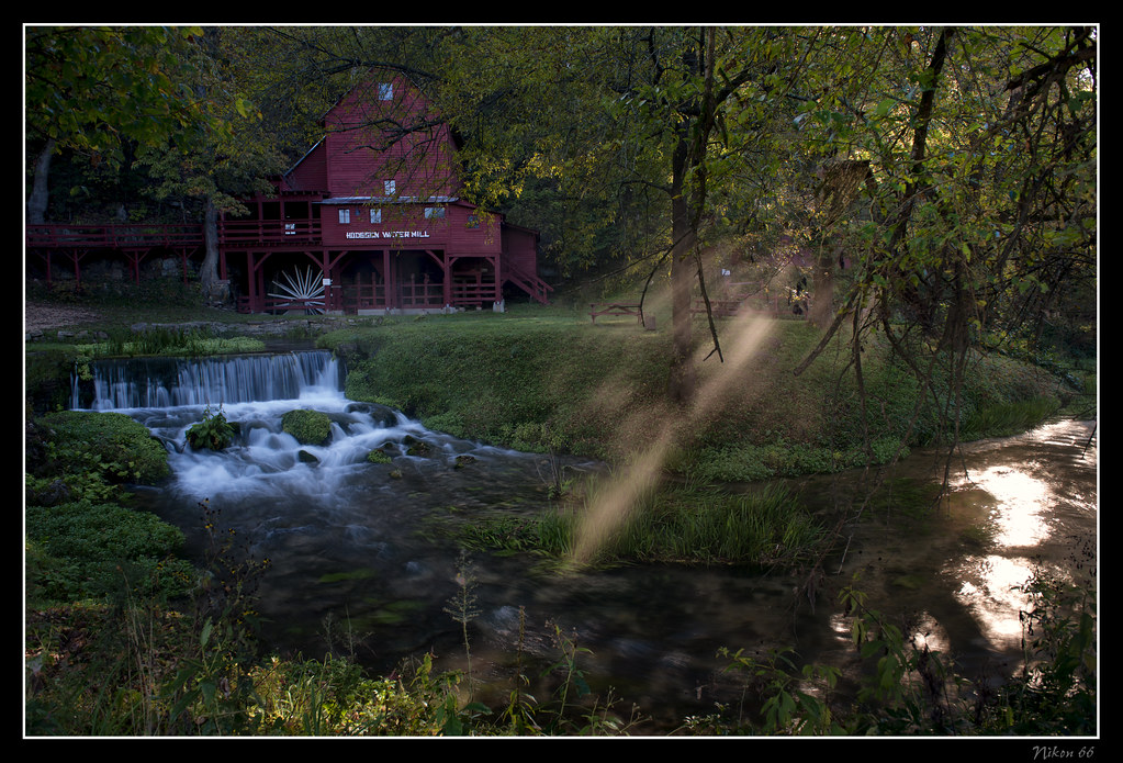
Hodgson Water Mill - Sunbeams through the Trees

Hodgson Water Mill - No. 2

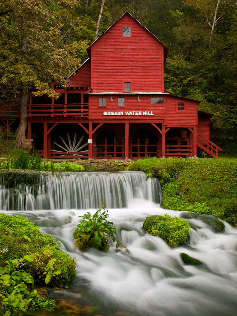
Hodgson Water Mill

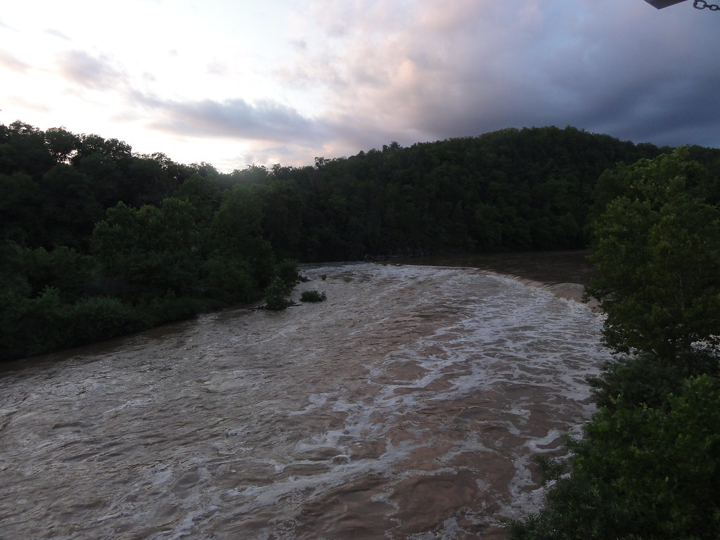
White River

Luna Moth 2
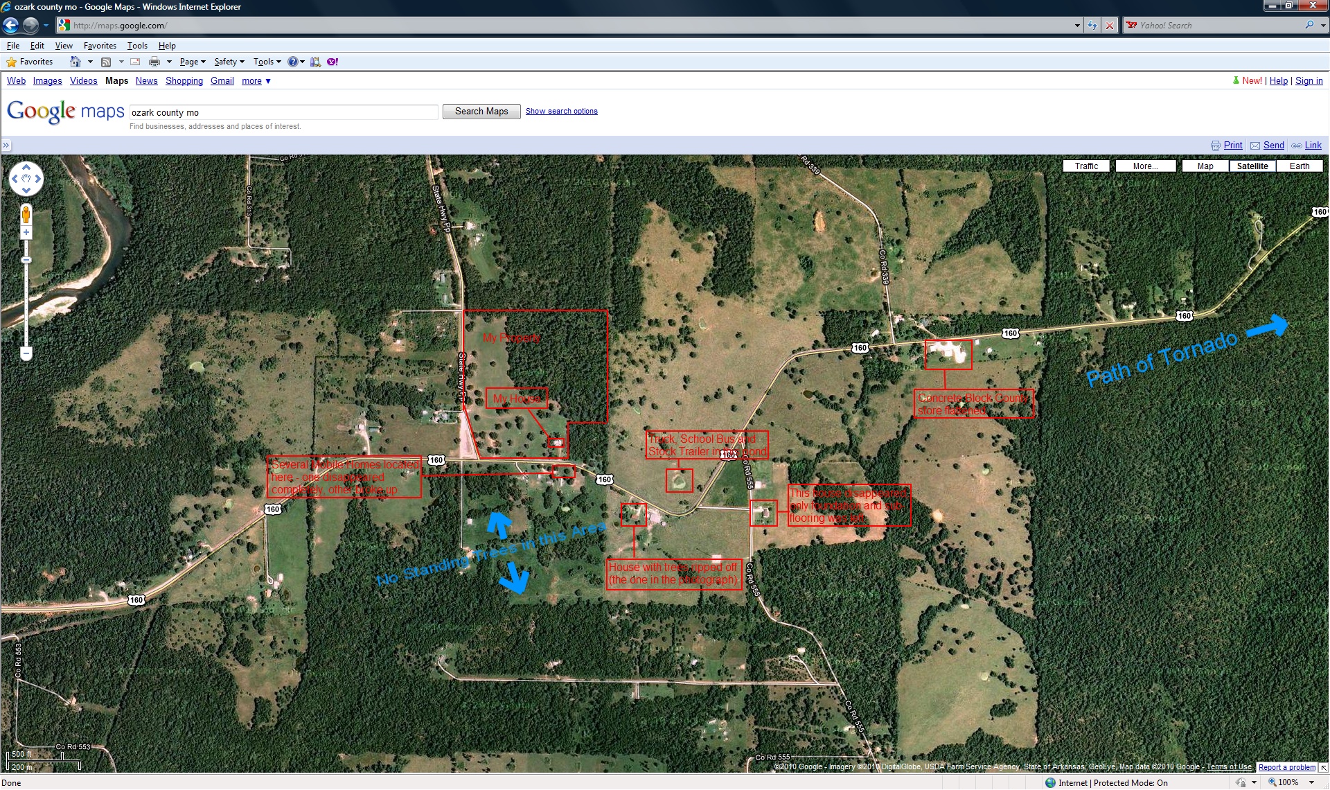
closer view of where the tornado was and my location

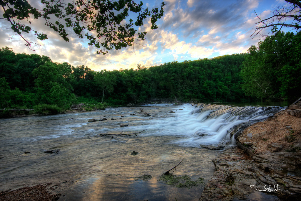
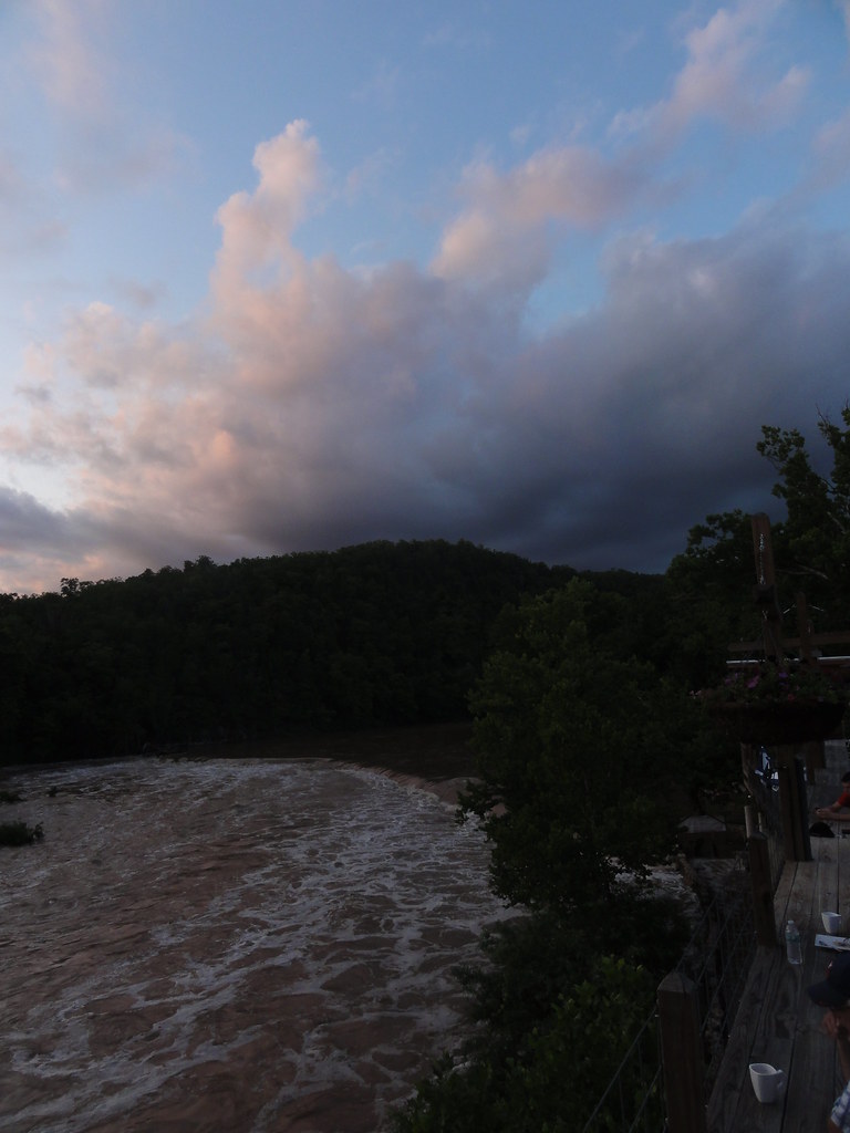
Dawt Mill Morning

Dawt Mill Morning
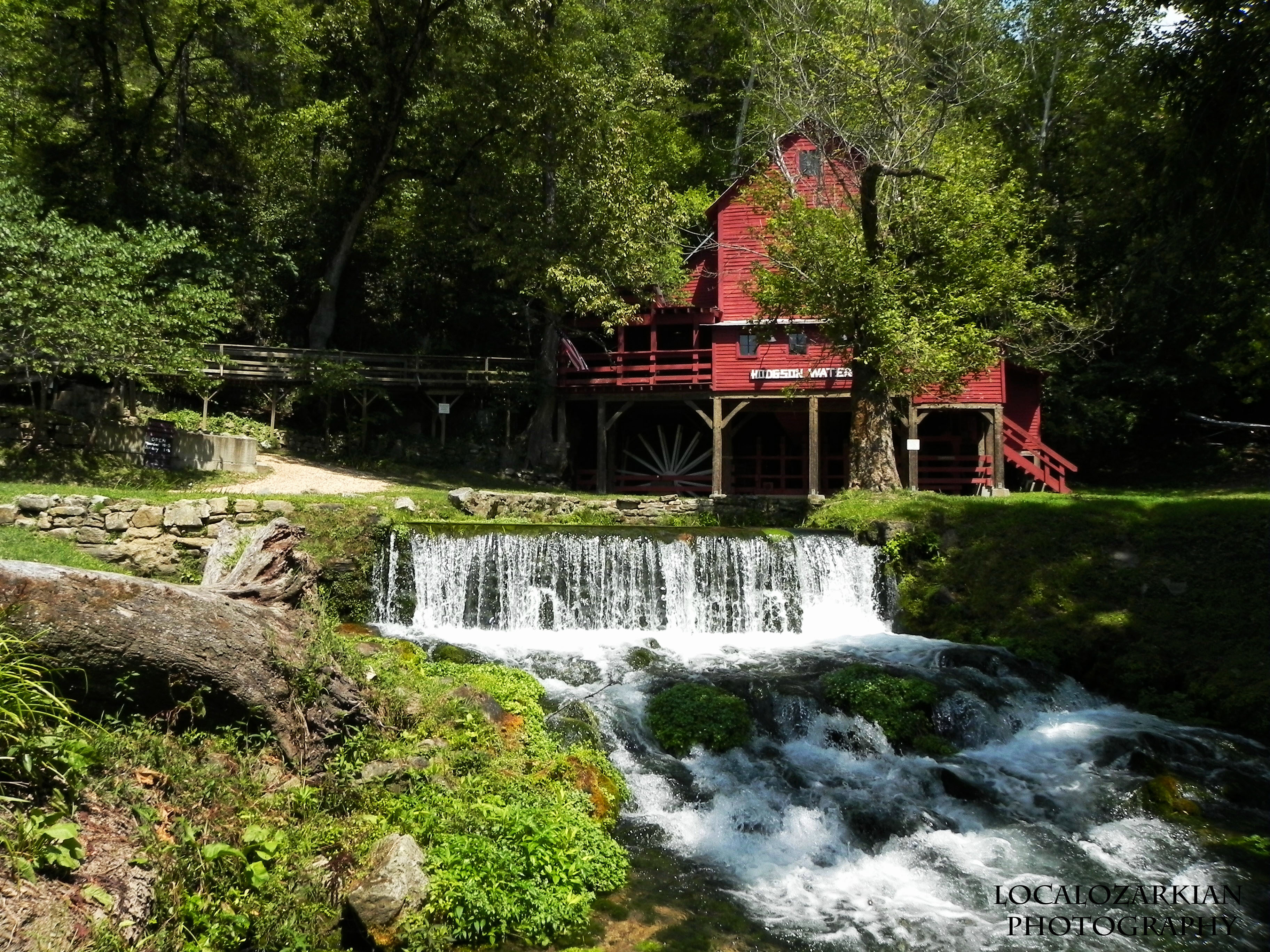
Hodgson Mill

Hodgson Mill

Hodgson Mill

Hodgson Mill Ozark County Mo
Zanoni Mill
Rockbridge Mill, Ozark County

Hodgson Mill
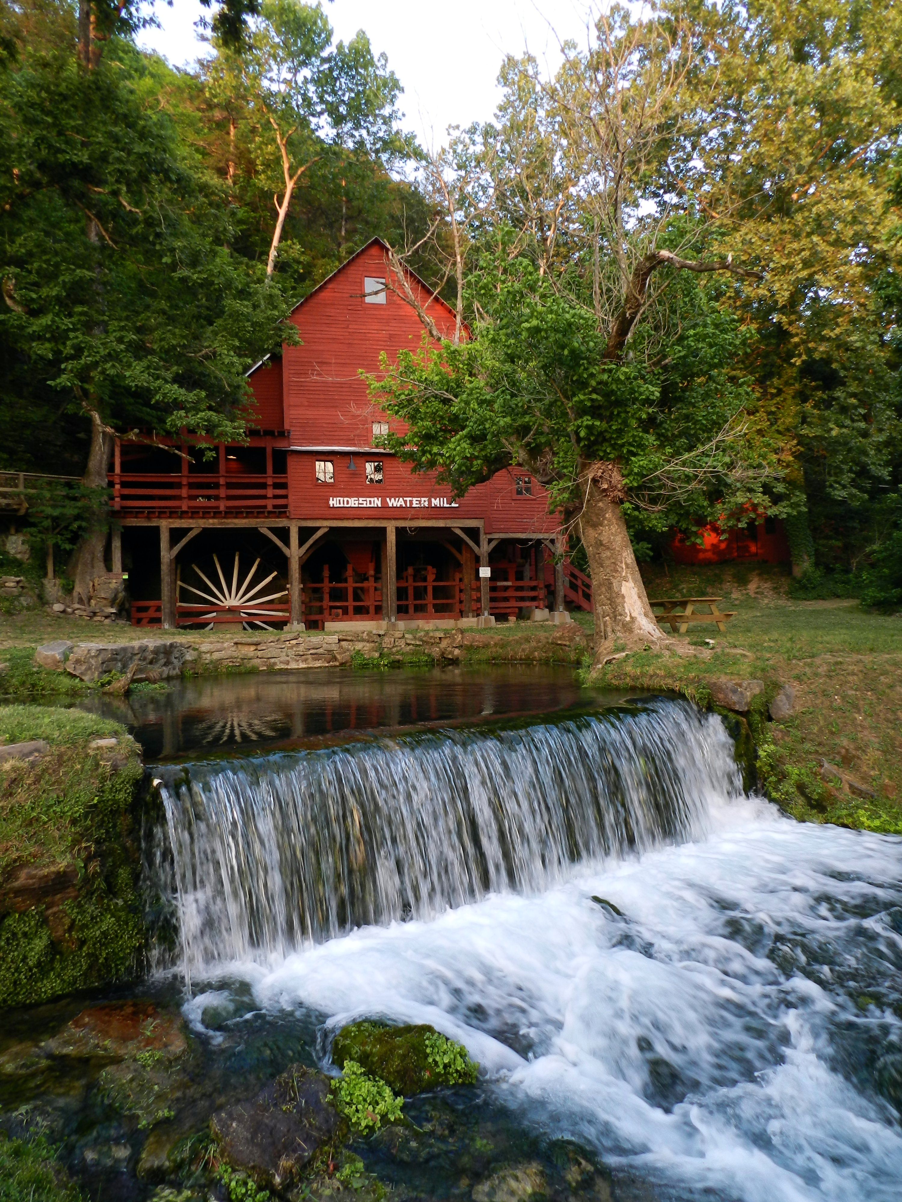
Hodgson Mill
Hodgson Mill

Hodgson Mill
Hodgson Mill
DSC03562.JPG

Dawt Mill, Tecumseh
Dawt MIll - North Fork of the White River

Dawt Mill, Tecumseh
DSC03564.JPG
In Ozark County
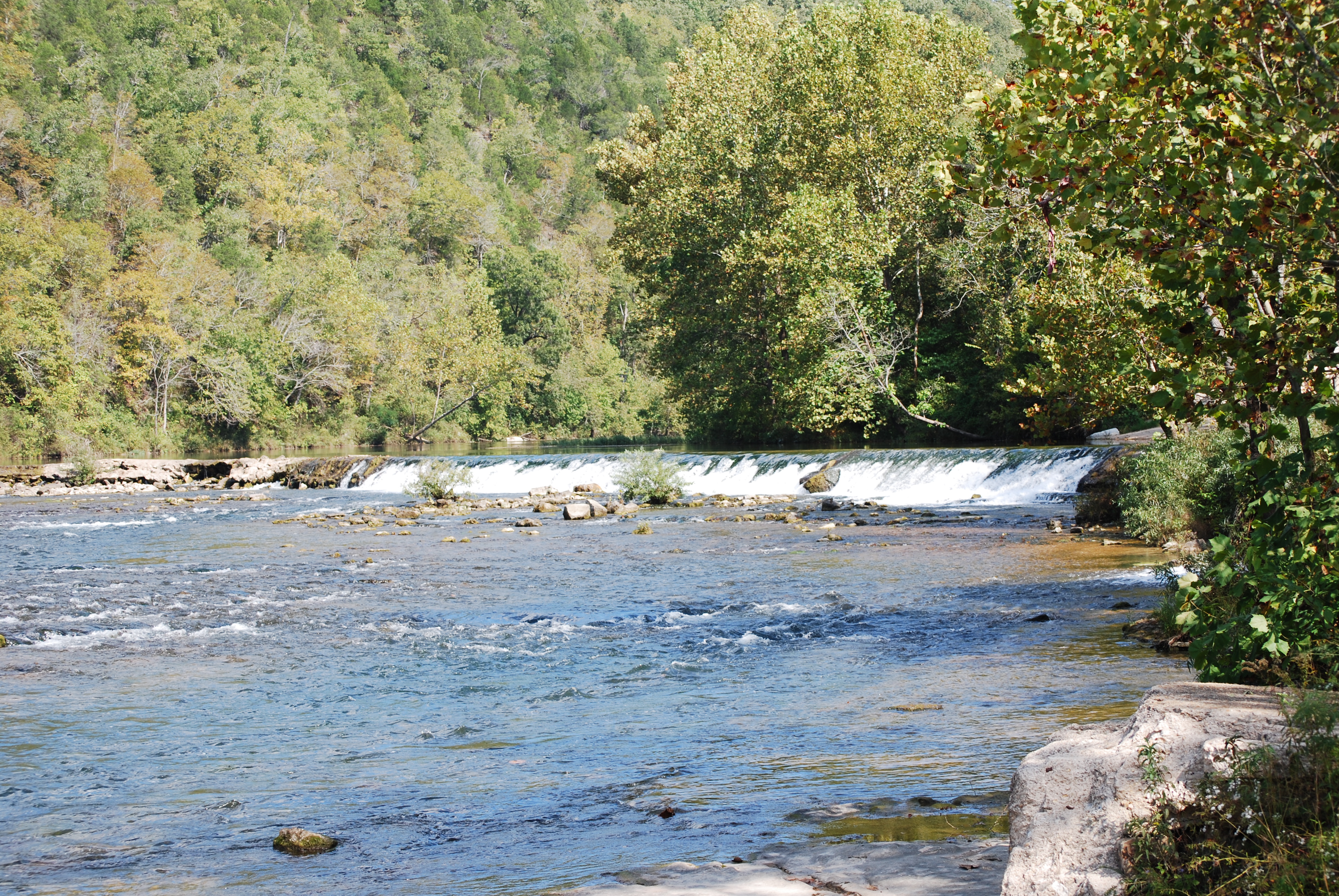
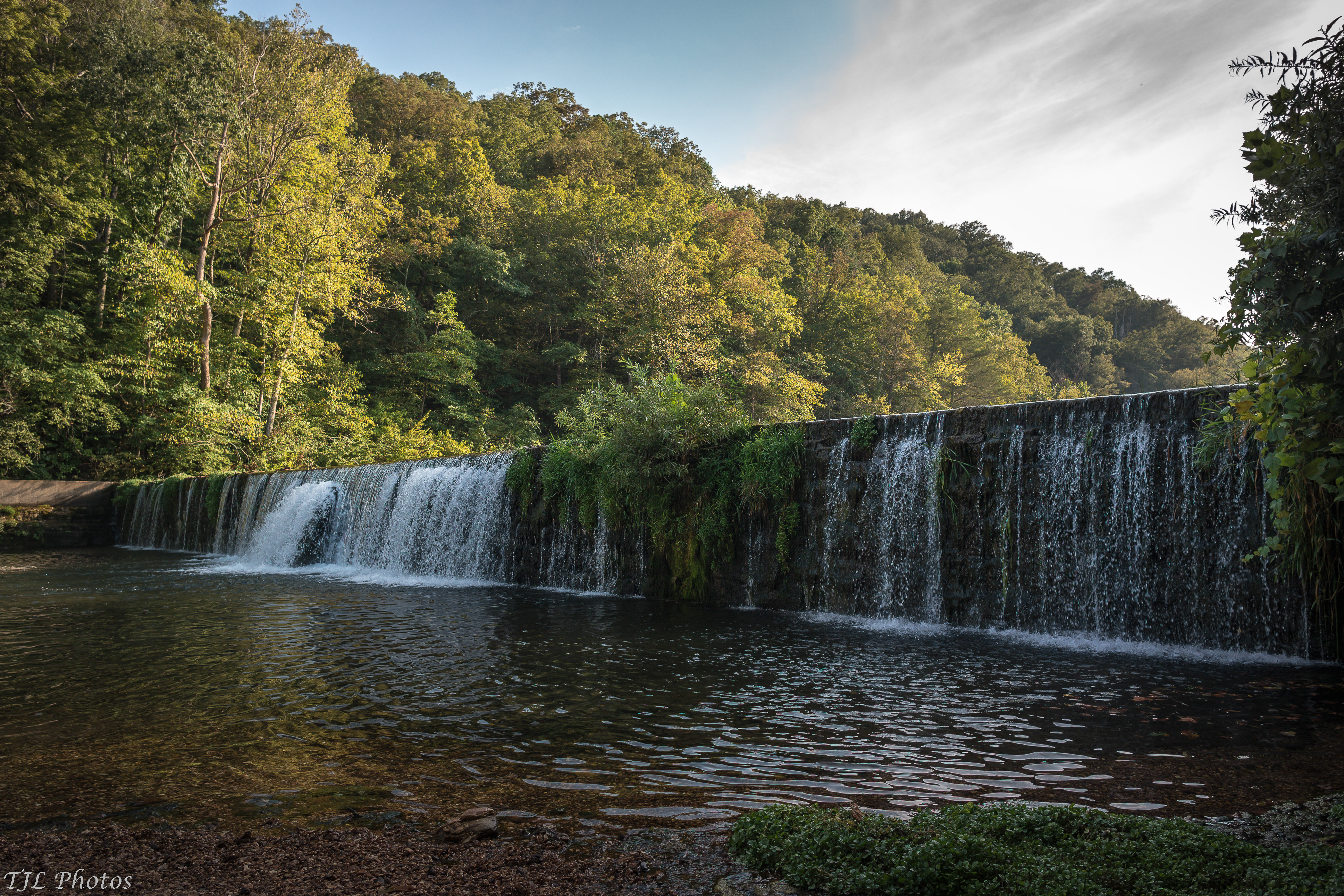
Dawt Mill Dam
Topographic Map of Ozark County, MO, USA
Find elevation by address:

Places in Ozark County, MO, USA:
Bayou I Township
Richland Township
Pine Creek Township
Bridges Township
Tecumseh
Theodosia
Noble Township
Jasper Township
Bayou Ii Township
West Bridges Township
Dawt Township
Barren Fork Township
County Road 145
Nottinghill Township
Places near Ozark County, MO, USA:
Pine Creek Township
Gainesville
Hardenville, MO, USA
County Road 145
45 Trigger Ln
County Road 328
1065 Co Rd 806
Bridges Township
29584 Us-160
29584 Us-160
506 Hansen Ln
County Road 113
Tecumseh
State Highway Pp
Dawt Township
5972 State Hwy H
401 County Rd 113
320 Stone Mountain Dr
Barren Fork Township
Jackson Township
Recent Searches:
- Elevation of Corso Fratelli Cairoli, 35, Macerata MC, Italy
- Elevation of Tallevast Rd, Sarasota, FL, USA
- Elevation of 4th St E, Sonoma, CA, USA
- Elevation of Black Hollow Rd, Pennsdale, PA, USA
- Elevation of Oakland Ave, Williamsport, PA, USA
- Elevation of Pedrógão Grande, Portugal
- Elevation of Klee Dr, Martinsburg, WV, USA
- Elevation of Via Roma, Pieranica CR, Italy
- Elevation of Tavkvetili Mountain, Georgia
- Elevation of Hartfords Bluff Cir, Mt Pleasant, SC, USA