Elevation of Barren Fork Township, MO, USA
Location: United States > Missouri > Ozark County >
Longitude: -92.5197932
Latitude: 36.7338315
Elevation: 348m / 1142feet
Barometric Pressure: 0KPa
Related Photos:
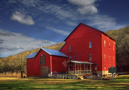
Rockbridge Grist Mill

Rockbridge Mill, Ozark County

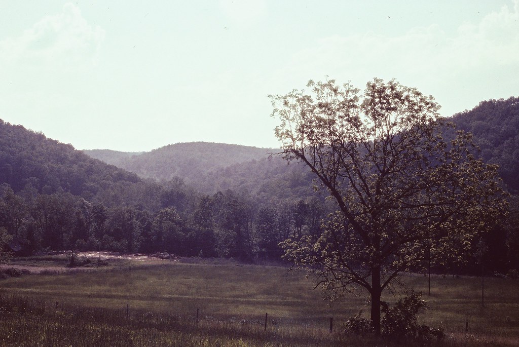
Ozarks Farm (Ozark County, Missouri)

1981 05 may ii _0009 wp1

1981 05 may 01

1981 05 may ii _0001

1980 08 aug 16 bal1

1981 05 may i _0012

1981 05 may ii _0018 ac
0462959-R1-E003

1981 01 jan ii 33

1981 05 may i _0003 a ac

b19 IMG_2509 ac

b17 IMG_2507 ac

1981 01 jan ii 12

b01 IMG_2502 ac

DSC03608.JPG

Dry Orchard

1981 01 jan 23

1981 01 jan 20

1981 01 jan 26
Topographic Map of Barren Fork Township, MO, USA
Find elevation by address:

Places near Barren Fork Township, MO, USA:
320 Stone Mountain Dr
401 County Rd 113
County Road 113
Wasola
Nottinghill
Noble Township
County Road 145
Nottinghill Township
1065 Co Rd 806
Walls Township
Ozark County
County Road P-305
County Road P-305
Squires
Gainesville
County Road 417
Isabella
County Road 618
Jackson Township
Pine Creek Township
Recent Searches:
- Elevation map of Greenland, Greenland
- Elevation of Sullivan Hill, New York, New York, 10002, USA
- Elevation of Morehead Road, Withrow Downs, Charlotte, Mecklenburg County, North Carolina, 28262, USA
- Elevation of 2800, Morehead Road, Withrow Downs, Charlotte, Mecklenburg County, North Carolina, 28262, USA
- Elevation of Yangbi Yi Autonomous County, Yunnan, China
- Elevation of Pingpo, Yangbi Yi Autonomous County, Yunnan, China
- Elevation of Mount Malong, Pingpo, Yangbi Yi Autonomous County, Yunnan, China
- Elevation map of Yongping County, Yunnan, China
- Elevation of North 8th Street, Palatka, Putnam County, Florida, 32177, USA
- Elevation of 107, Big Apple Road, East Palatka, Putnam County, Florida, 32131, USA
- Elevation of Jiezi, Chongzhou City, Sichuan, China
- Elevation of Chongzhou City, Sichuan, China
- Elevation of Huaiyuan, Chongzhou City, Sichuan, China
- Elevation of Qingxia, Chengdu, Sichuan, China
- Elevation of Corso Fratelli Cairoli, 35, Macerata MC, Italy
- Elevation of Tallevast Rd, Sarasota, FL, USA
- Elevation of 4th St E, Sonoma, CA, USA
- Elevation of Black Hollow Rd, Pennsdale, PA, USA
- Elevation of Oakland Ave, Williamsport, PA, USA
- Elevation of Pedrógão Grande, Portugal