Elevation of Hansen Ln, Gainesville, MO, USA
Location: United States > Missouri > Ozark County > West Bridges Township > Gainesville >
Longitude: -92.3486175
Latitude: 36.5654154
Elevation: 229m / 751feet
Barometric Pressure: 0KPa
Related Photos:
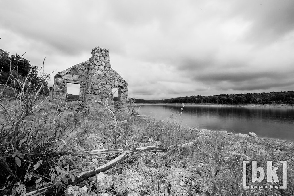
Riverfront fixer-upper with a view.
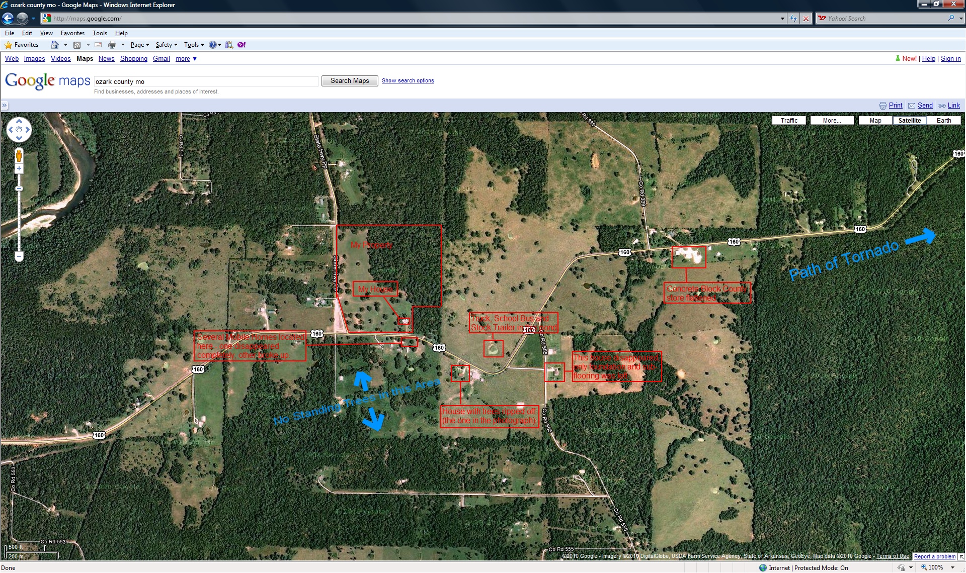
closer view of where the tornado was and my location

Hodgson Water Mill

Dawt Mill Morning

Pier on Lake Norfork
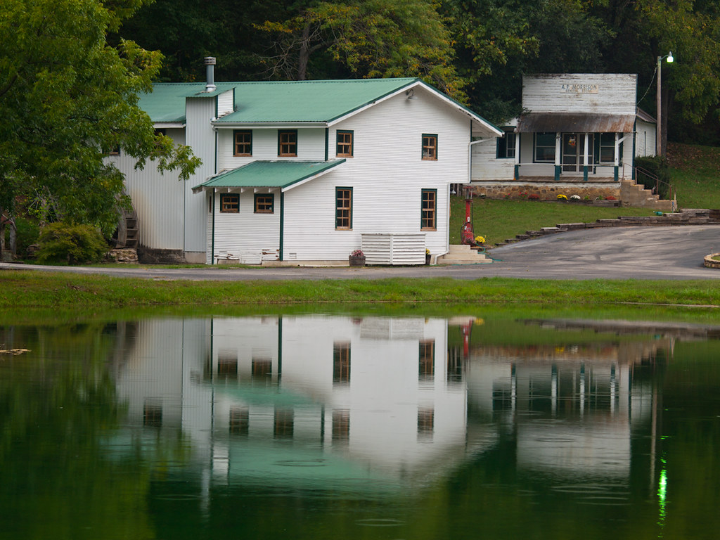
Zanoni Mill

In Ozark County
DSC03562.JPG

DSC03564.JPG
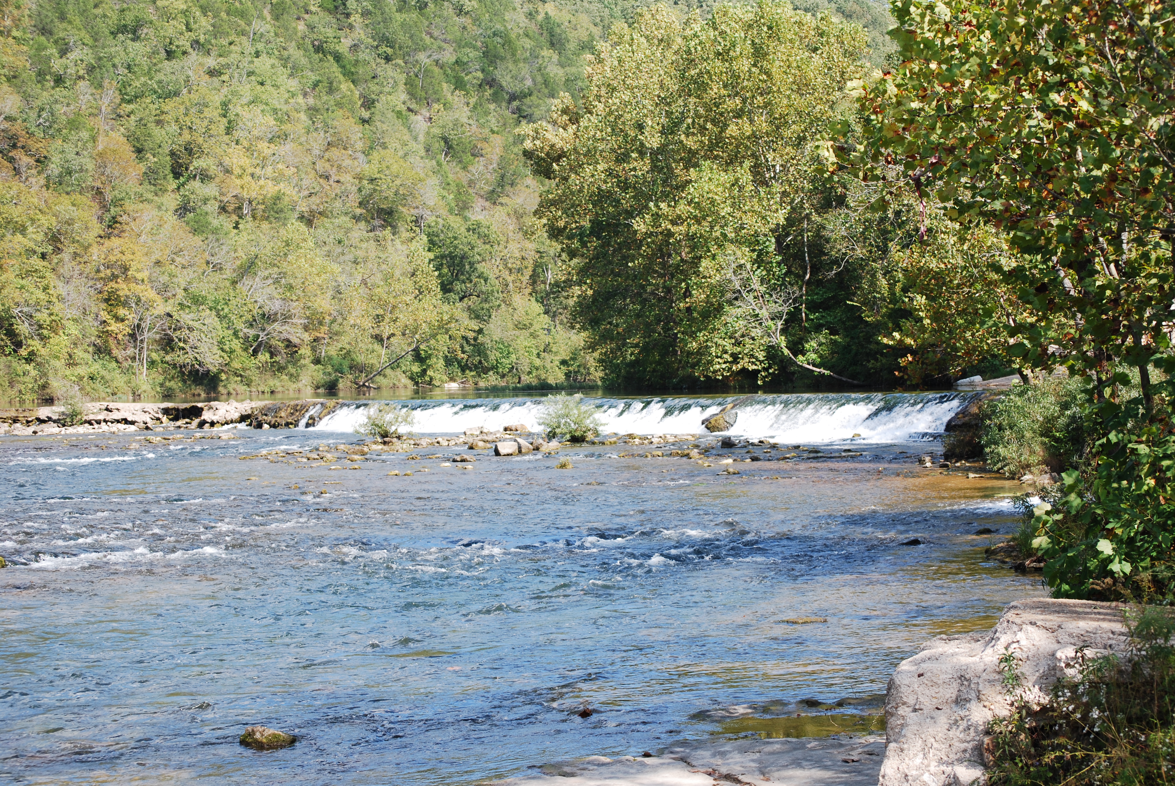
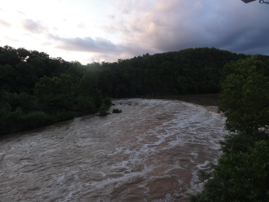
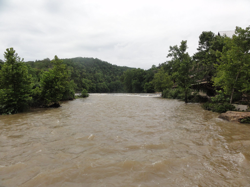
Dawt Mill Dam

Ice creek
DSC03579.JPG
Topographic Map of Hansen Ln, Gainesville, MO, USA
Find elevation by address:

Places near Hansen Ln, Gainesville, MO, USA:
Hardenville, MO, USA
29584 Us-160
29584 Us-160
Bridges Township
Tecumseh
Dawt Township
Gainesville
State Highway Pp
Ozark County
1065 Co Rd 806
Pine Creek Township
45 Trigger Ln
1129 Co Rd 544
County Road 328
5972 State Hwy H
545 Co Rd 345
Bayou Ii Township
County Road 113
County Road 145
Richland Township
Recent Searches:
- Elevation of Pasing, Munich, Bavaria, 81241, Germany
- Elevation of 24, Auburn Bay Crescent SE, Auburn Bay, Calgary, Alberta, T3M 0A6, Canada
- Elevation of Denver, 2314, Arapahoe Street, Five Points, Denver, Colorado, 80205, USA
- Elevation of Community of the Beatitudes, 2924, West 43rd Avenue, Sunnyside, Denver, Colorado, 80211, USA
- Elevation map of Litang County, Sichuan, China
- Elevation map of Madoi County, Qinghai, China
- Elevation of 3314, Ohio State Route 114, Payne, Paulding County, Ohio, 45880, USA
- Elevation of Sarahills Drive, Saratoga, Santa Clara County, California, 95070, USA
- Elevation of Town of Bombay, Franklin County, New York, USA
- Elevation of 9, Convent Lane, Center Moriches, Suffolk County, New York, 11934, USA
- Elevation of Saint Angelas Convent, 9, Convent Lane, Center Moriches, Suffolk County, New York, 11934, USA
- Elevation of 131st Street Southwest, Mukilteo, Snohomish County, Washington, 98275, USA
- Elevation of 304, Harrison Road, Naples, Cumberland County, Maine, 04055, USA
- Elevation of 2362, Timber Ridge Road, Harrisburg, Cabarrus County, North Carolina, 28075, USA
- Elevation of Ridge Road, Marshalltown, Marshall County, Iowa, 50158, USA
- Elevation of 2459, Misty Shadows Drive, Pigeon Forge, Sevier County, Tennessee, 37862, USA
- Elevation of 8043, Brightwater Way, Spring Hill, Williamson County, Tennessee, 37179, USA
- Elevation of Starkweather Road, San Luis, Costilla County, Colorado, 81152, USA
- Elevation of 5277, Woodside Drive, Baton Rouge, East Baton Rouge Parish, Louisiana, 70808, USA
- Elevation of 1139, Curtin Street, Shepherd Park Plaza, Houston, Harris County, Texas, 77018, USA