Elevation of Theodosia, MO, USA
Location: United States > Missouri > Ozark County >
Longitude: -92.676000
Latitude: 36.5828412
Elevation: 274m / 899feet
Barometric Pressure: 98KPa
Elevation Map:
Satellite Map:
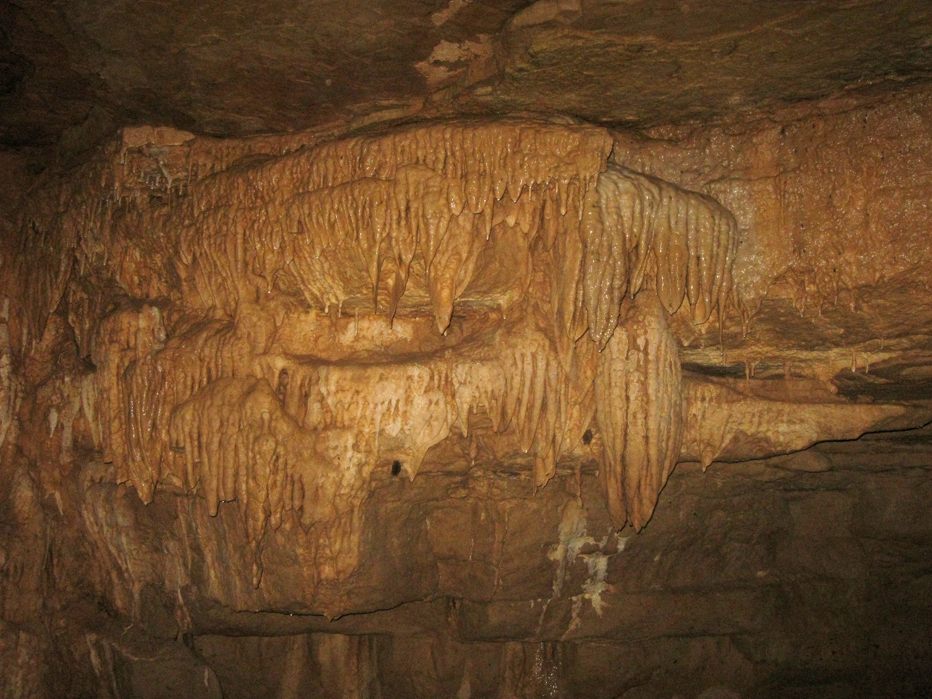
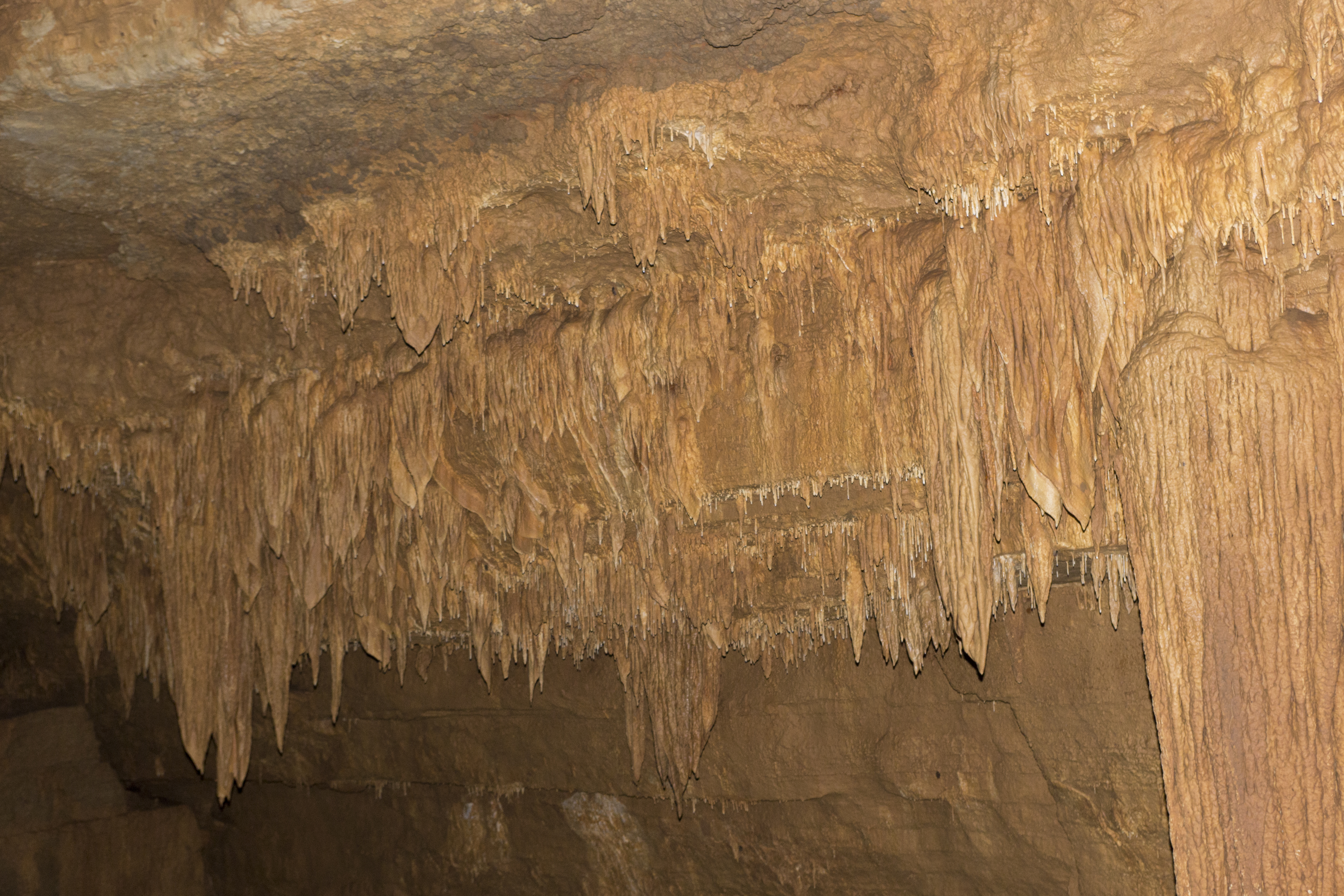
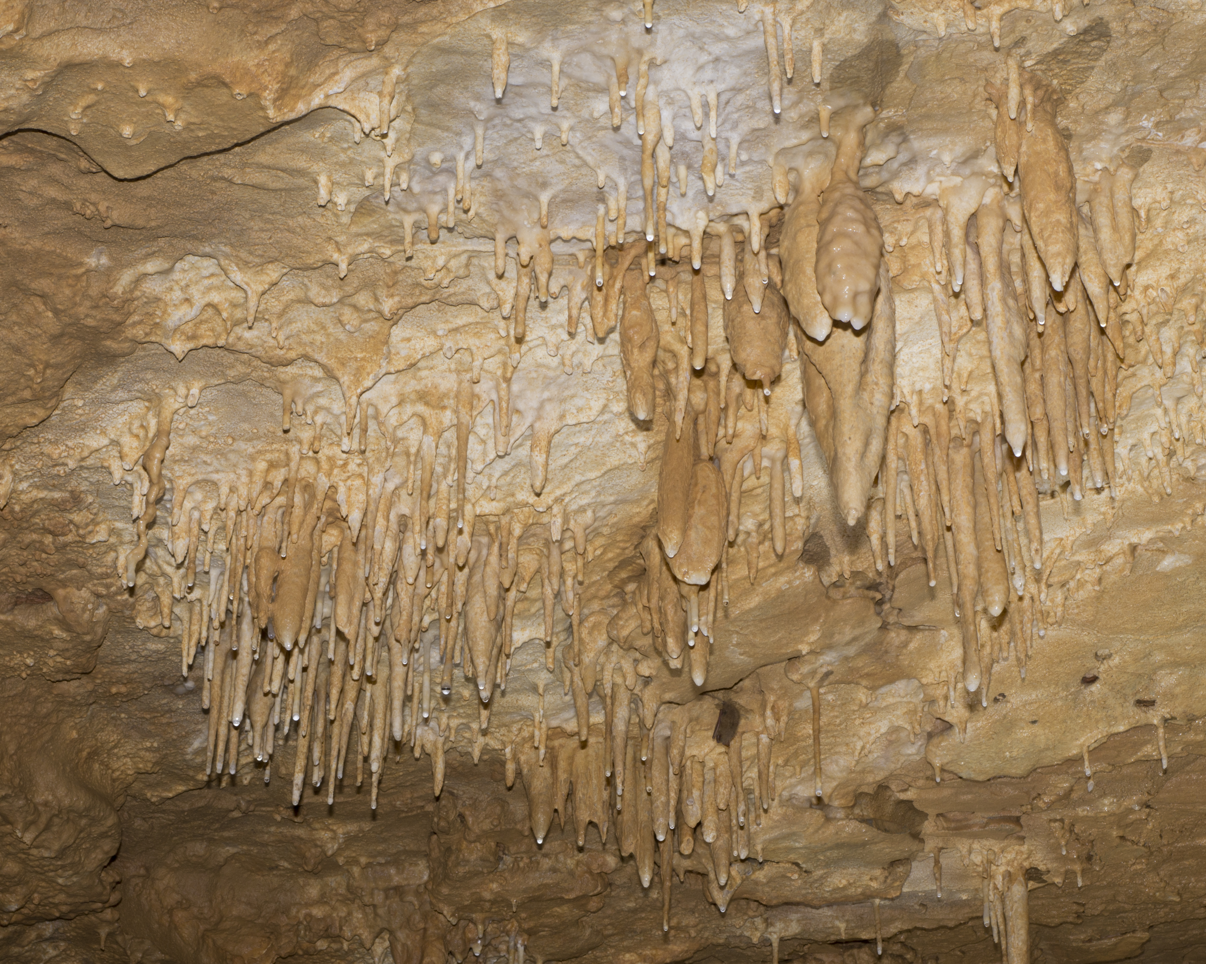
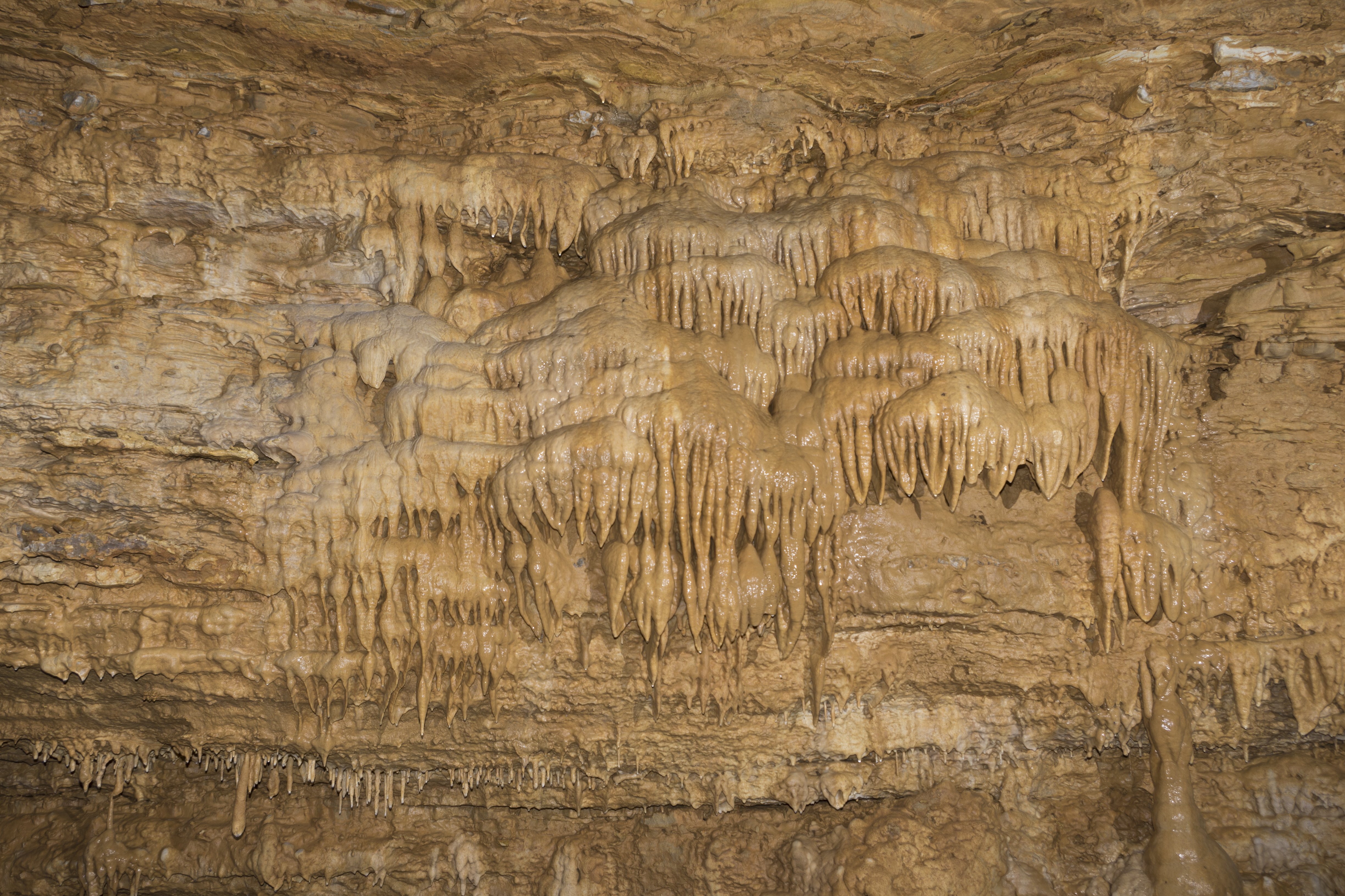
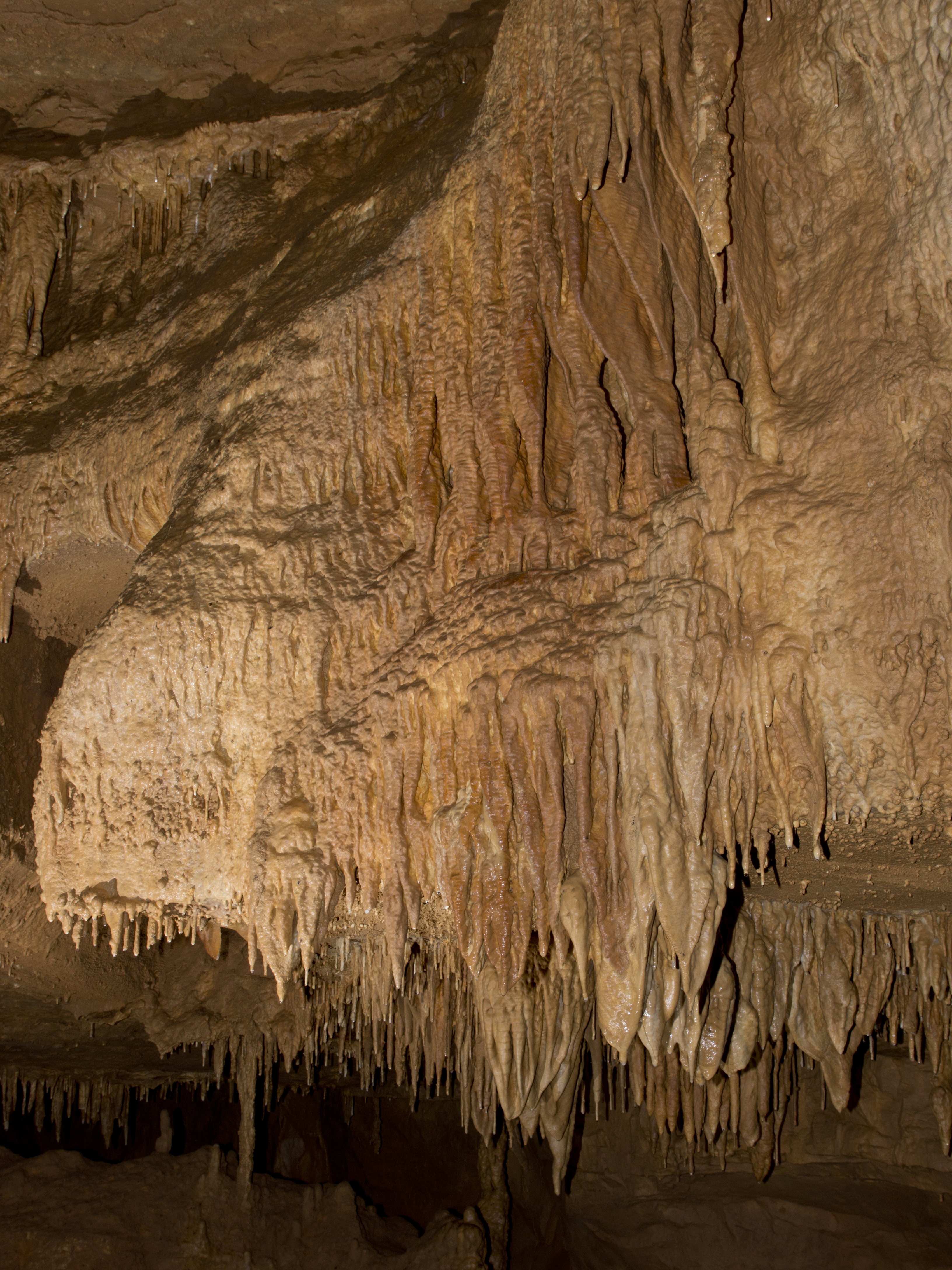
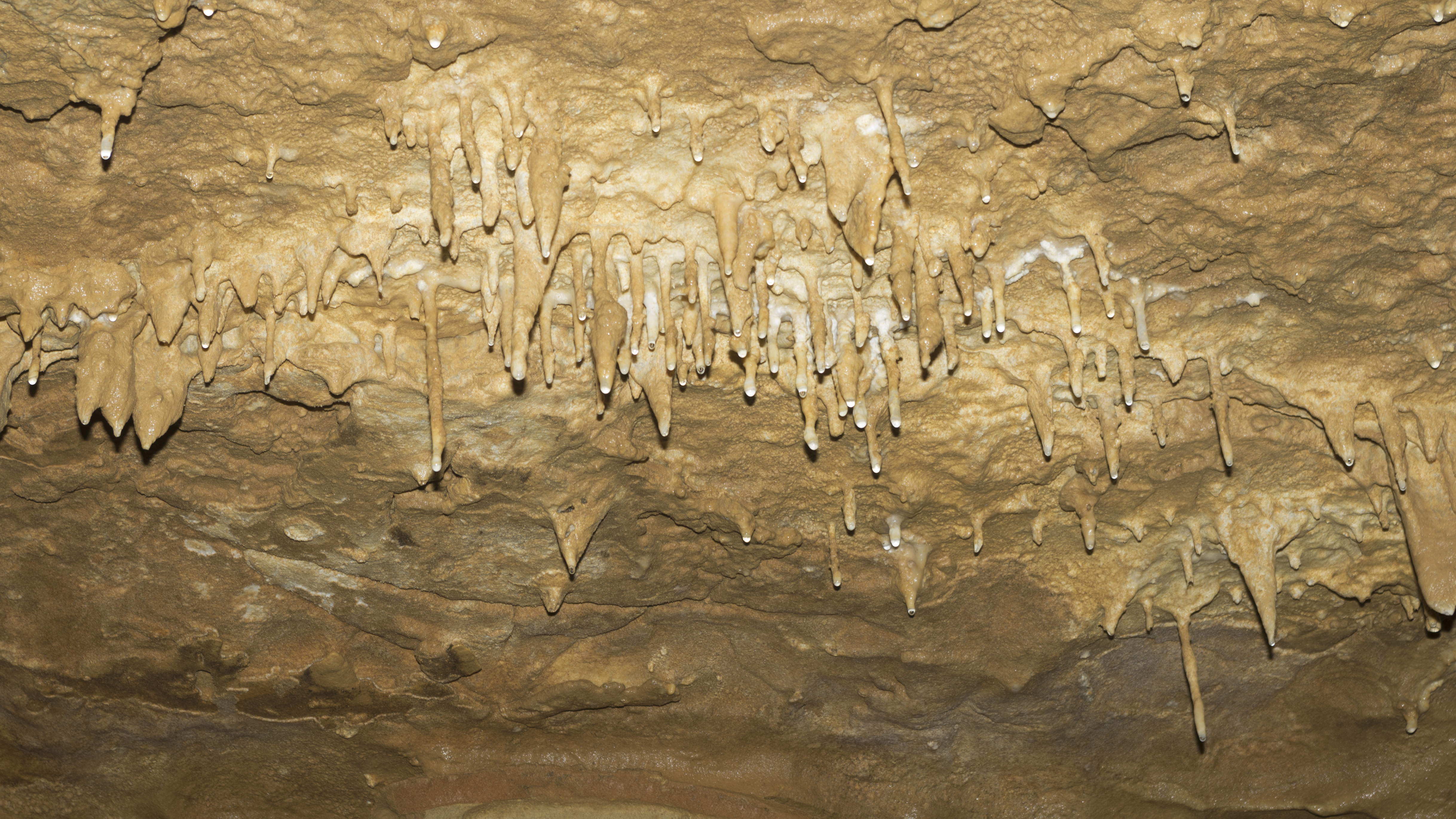
Related Photos:
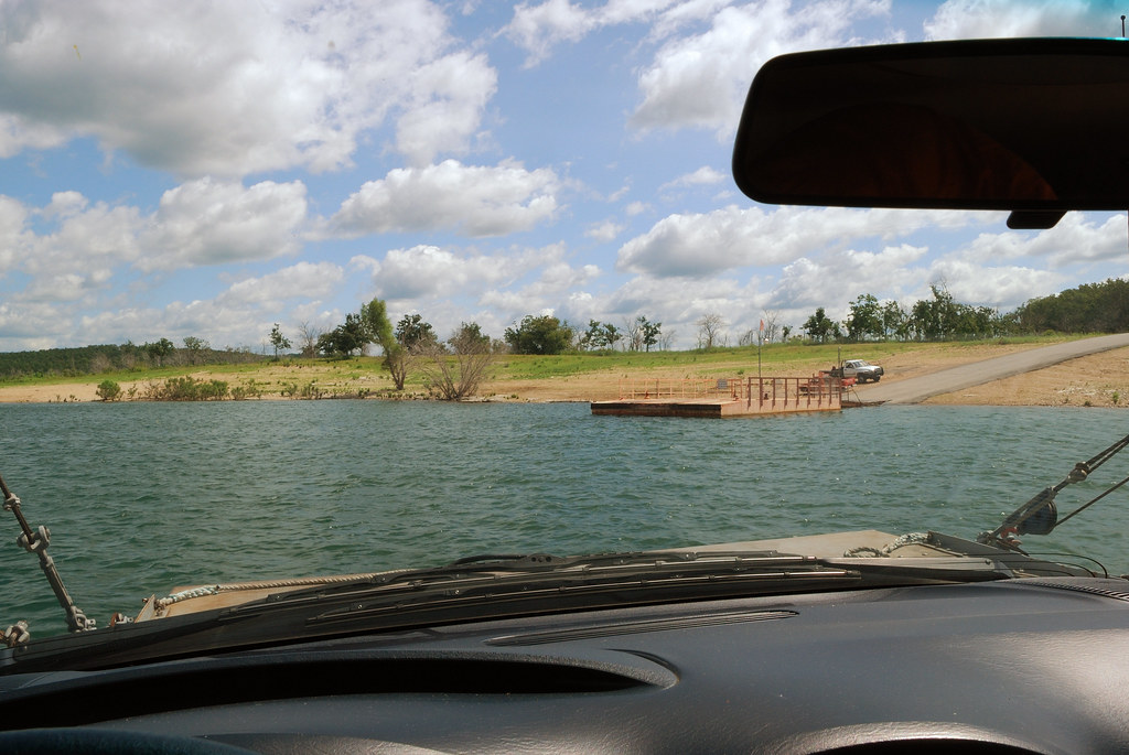
Final approach
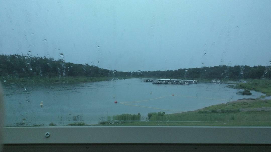
Current camper view. Rainy afternoon. Perfect for a nap before I cook some fresh caught trout. #camping #rain #naptime #awesomeday #binkysadventures #binkyvacation2016
DJT04936

DJT_1247

DJT_1283
IMG_4337

DJT_1215

DJT_1184

DJT_1082

DJT_1167
IMG_4261

DJT_1306
DJT_0994

DJT_1250
DJT_1044

DJT_1353

DJT_1881

DJT_1248
DJT_1110

DJT_1252

DJT_1363
DJT_0941
DJT_1927
Topographic Map of Theodosia, MO, USA
Find elevation by address:

Places near Theodosia, MO, USA:
Isabella
County Road 618
Nottinghill
Nottinghill Township
401 County Rd 113
County Road 113
Noble Township
1065 Co Rd 806
Barren Fork Township
320 Stone Mountain Dr
Wasola
Gainesville
Squires
Bridges Township
Spring Creek Township
County Road 417
Walls Township
County Road P-305
County Road P-305
County Road 145
Recent Searches:
- Elevation of Corso Fratelli Cairoli, 35, Macerata MC, Italy
- Elevation of Tallevast Rd, Sarasota, FL, USA
- Elevation of 4th St E, Sonoma, CA, USA
- Elevation of Black Hollow Rd, Pennsdale, PA, USA
- Elevation of Oakland Ave, Williamsport, PA, USA
- Elevation of Pedrógão Grande, Portugal
- Elevation of Klee Dr, Martinsburg, WV, USA
- Elevation of Via Roma, Pieranica CR, Italy
- Elevation of Tavkvetili Mountain, Georgia
- Elevation of Hartfords Bluff Cir, Mt Pleasant, SC, USA