Elevation of Overlook Mountain, California, USA
Location: United States > California > Inyokern >
Longitude: -118.37203
Latitude: 36.3338281
Elevation: 3048m / 10000feet
Barometric Pressure: 70KPa
Elevation Map:
Satellite Map:
Related Photos:
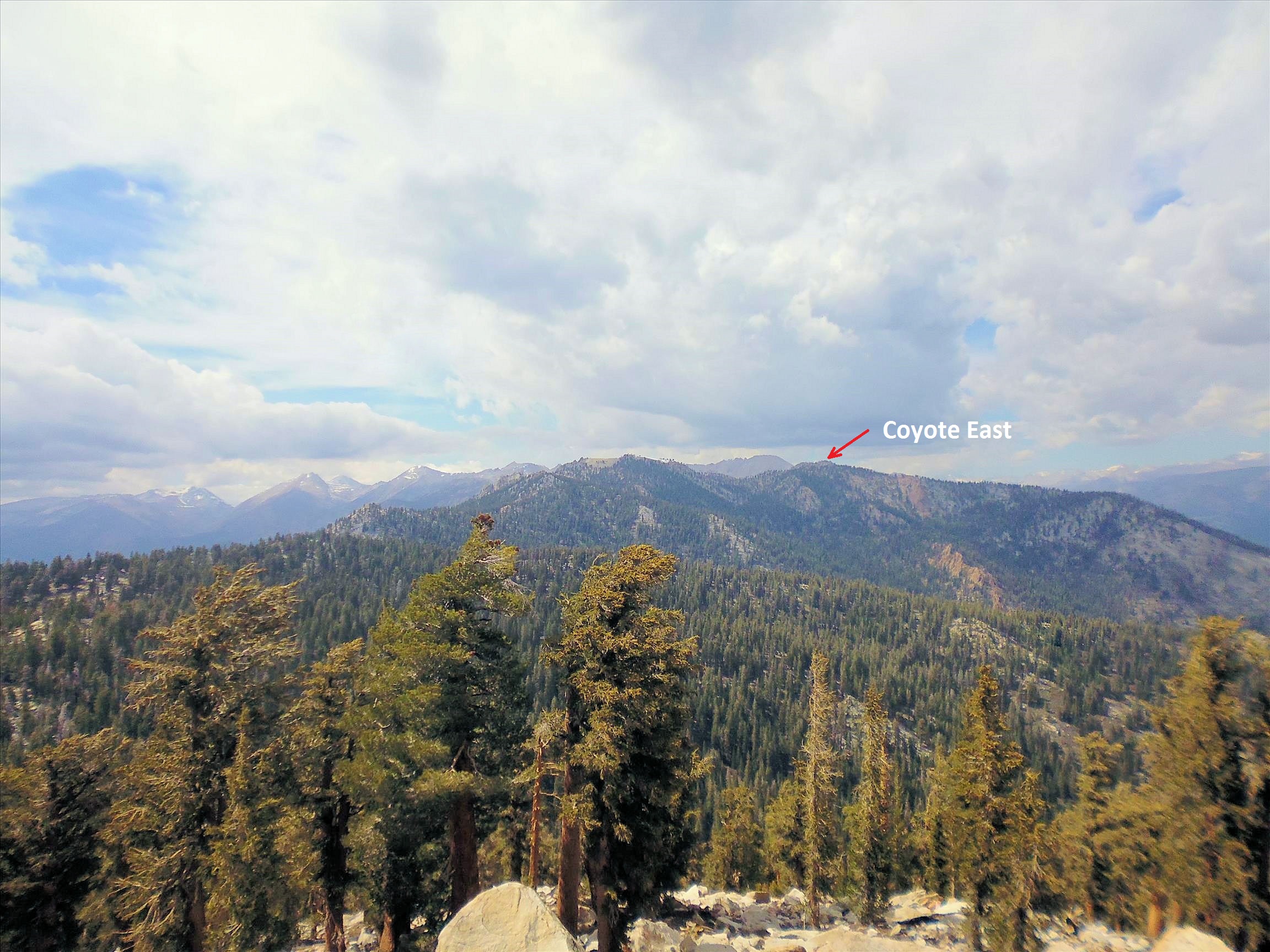
70 Views back to Coyote Peaks
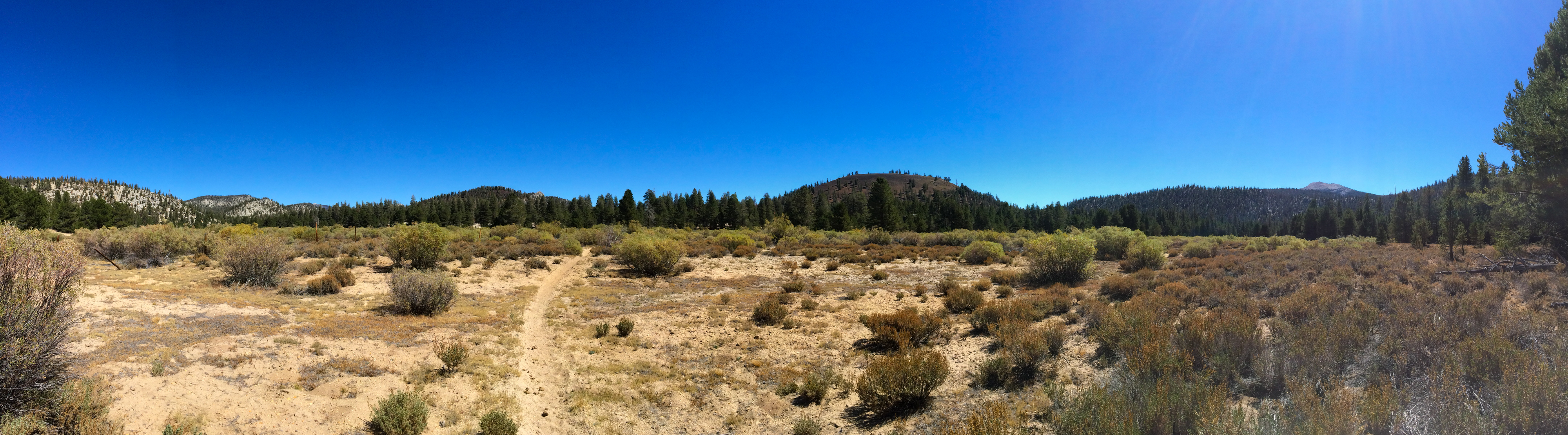
Meadow South of the Tunnel View Ranger Station
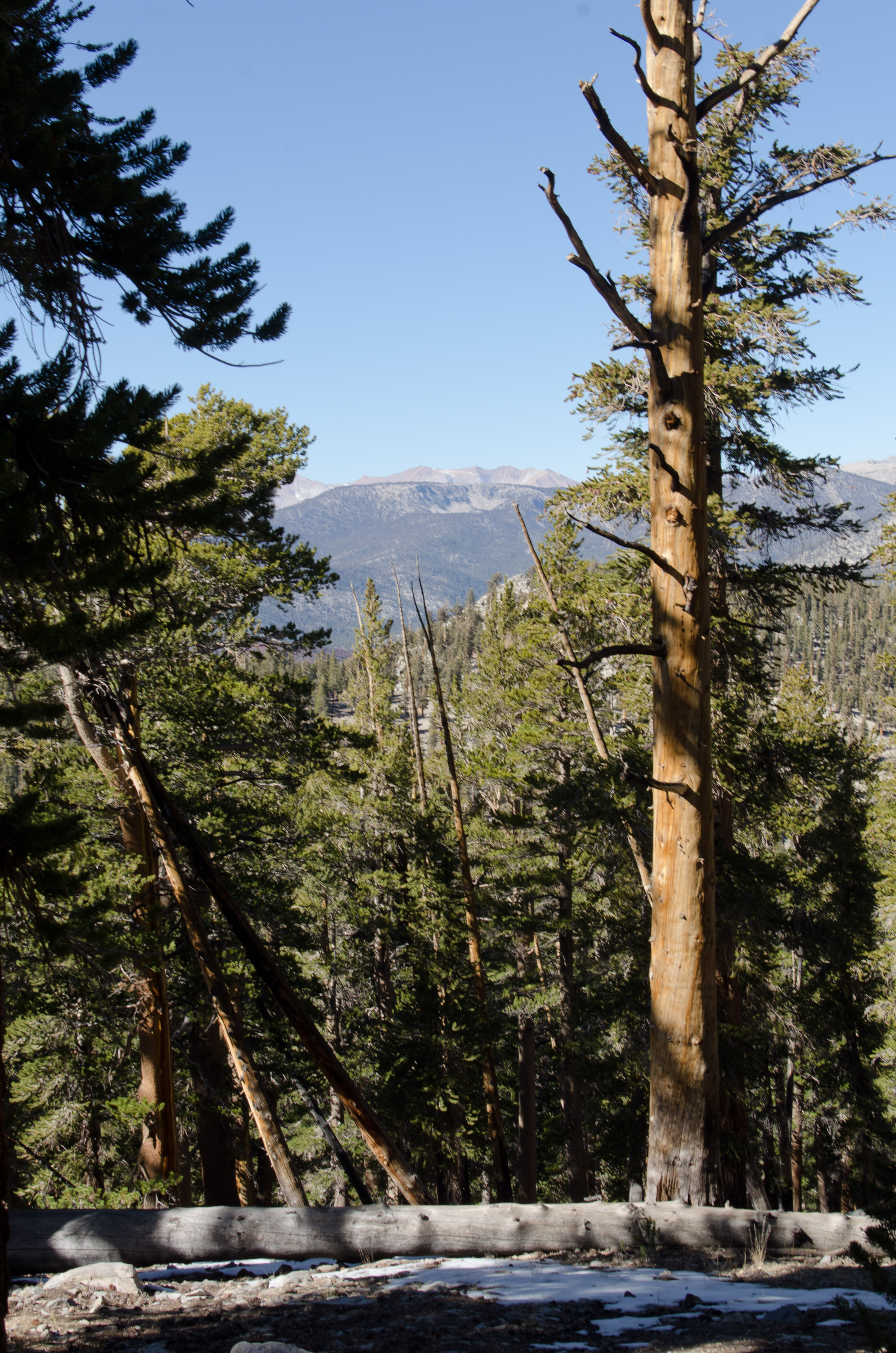
View from where we stopped
Topographic Map of Overlook Mountain, California, USA
Find elevation by address:

Places near Overlook Mountain, California, USA:
Kern Peak
Johnson Peak
Hockett Peak
Templeton Mountain
Cottonwood Pass
Needham Mountain
Mount Pickering
Vandever Mountain
Cottonwood Lakes
Mount Langley
Second Kaweah
Horseshoe Meadow Equestrian Camp
Sequoia National Park
Lippincott Mountain
Lone Pine Peak
57716 Fox Dr
Fox Dr, Springville, CA, USA
51840 Ca-190
Sequoia Dr, Springville, CA, USA
56755 Aspen Dr
Recent Searches:
- Elevation of Corso Fratelli Cairoli, 35, Macerata MC, Italy
- Elevation of Tallevast Rd, Sarasota, FL, USA
- Elevation of 4th St E, Sonoma, CA, USA
- Elevation of Black Hollow Rd, Pennsdale, PA, USA
- Elevation of Oakland Ave, Williamsport, PA, USA
- Elevation of Pedrógão Grande, Portugal
- Elevation of Klee Dr, Martinsburg, WV, USA
- Elevation of Via Roma, Pieranica CR, Italy
- Elevation of Tavkvetili Mountain, Georgia
- Elevation of Hartfords Bluff Cir, Mt Pleasant, SC, USA