Elevation of Hockett Peak, California, USA
Location: United States > California > Inyokern >
Longitude: -118.38869
Latitude: 36.221608
Elevation: 2484m / 8150feet
Barometric Pressure: 75KPa
Elevation Map:
Satellite Map:
Related Photos:
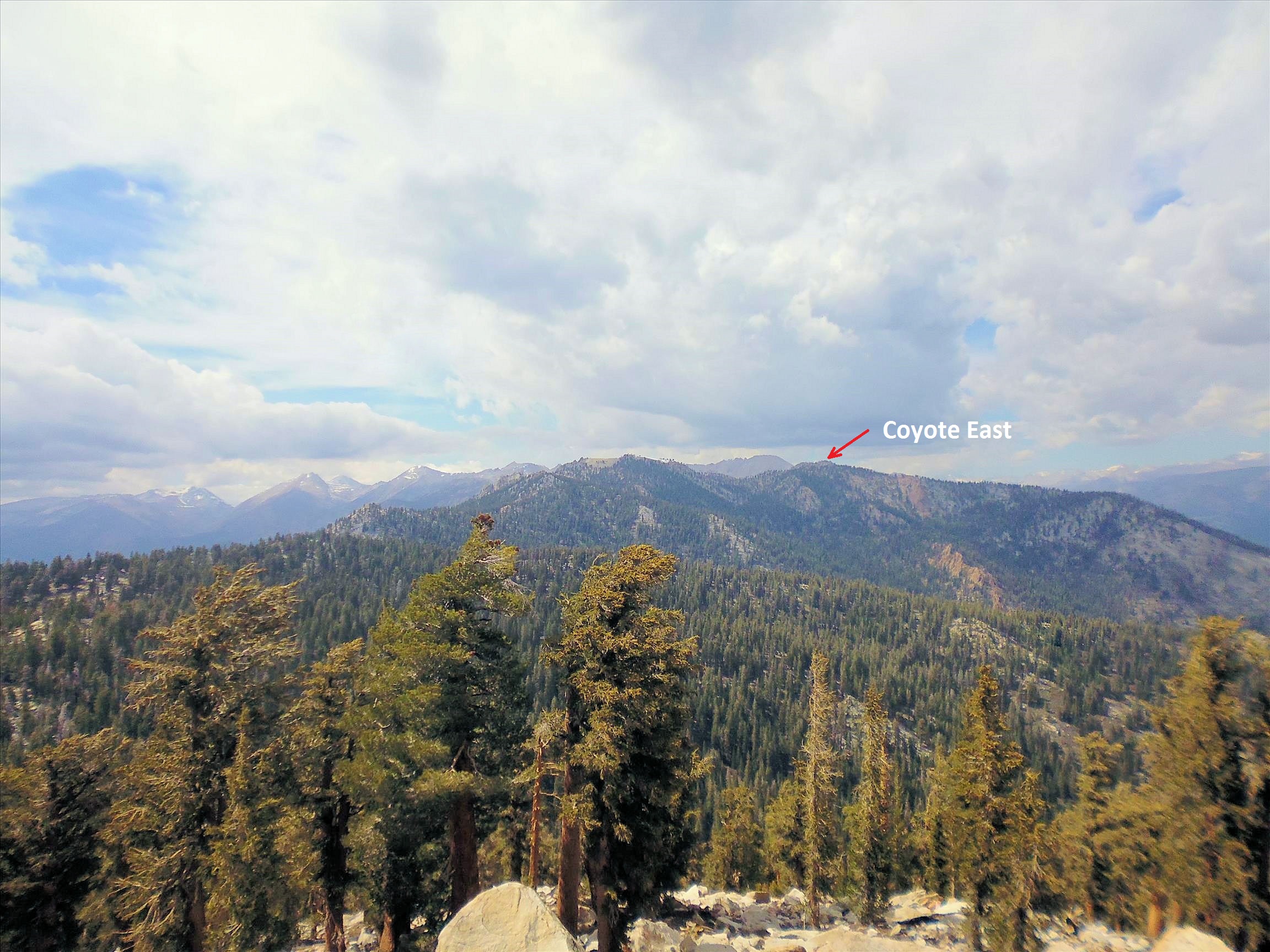
70 Views back to Coyote Peaks
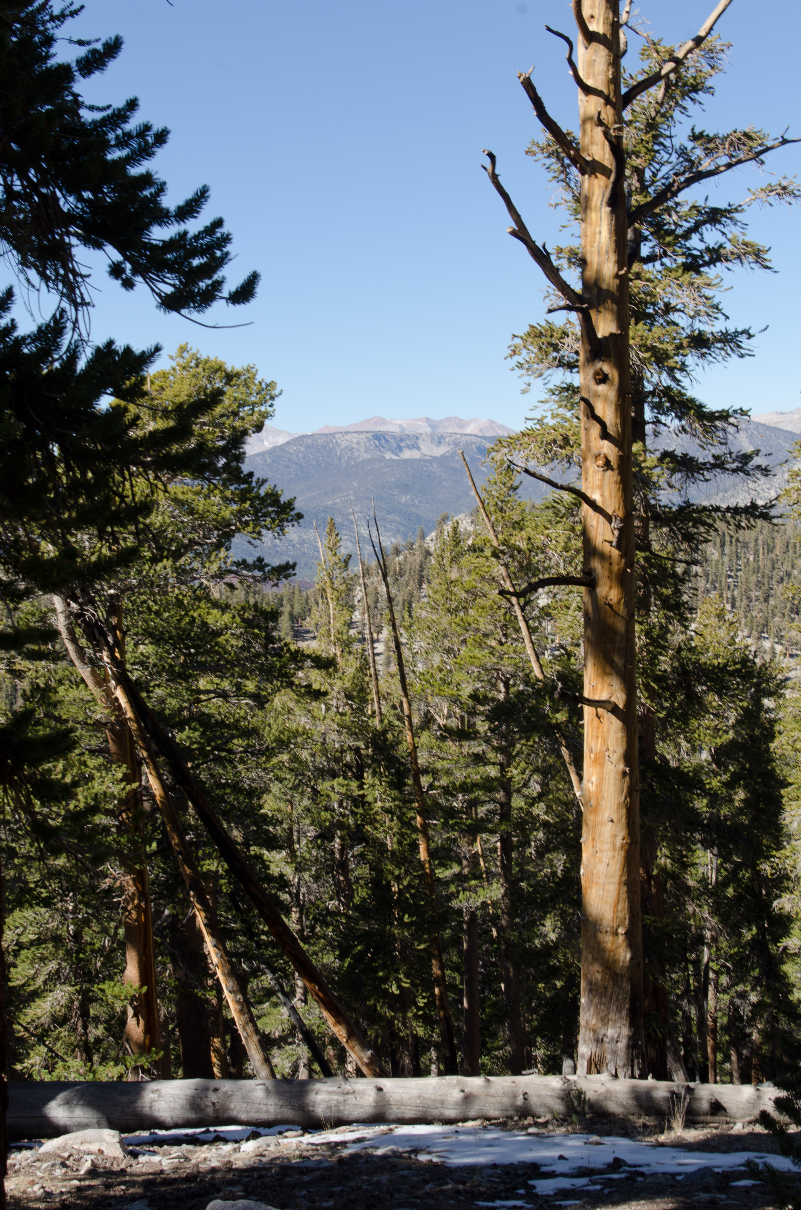
View from where we stopped
Topographic Map of Hockett Peak, California, USA
Find elevation by address:

Places near Hockett Peak, California, USA:
Overlook Mountain
Kern Peak
57716 Fox Dr
Fox Dr, Springville, CA, USA
56755 Aspen Dr
Quaker Meadow
51840 Ca-190
Templeton Mountain
Sequoia Dr, Springville, CA, USA
Johnson Peak
Slate Mountain
Camp Nelson
54862 Ponderosa Dr
1380 Ca-190
25 Easy Ct
386 John Lewis Dr
Pearsonville, CA, USA
Vandever Mountain
Chase Ave, Springville, CA, USA
Needham Mountain
Recent Searches:
- Elevation of Corso Fratelli Cairoli, 35, Macerata MC, Italy
- Elevation of Tallevast Rd, Sarasota, FL, USA
- Elevation of 4th St E, Sonoma, CA, USA
- Elevation of Black Hollow Rd, Pennsdale, PA, USA
- Elevation of Oakland Ave, Williamsport, PA, USA
- Elevation of Pedrógão Grande, Portugal
- Elevation of Klee Dr, Martinsburg, WV, USA
- Elevation of Via Roma, Pieranica CR, Italy
- Elevation of Tavkvetili Mountain, Georgia
- Elevation of Hartfords Bluff Cir, Mt Pleasant, SC, USA