Elevation of Otanomomo, New Zealand
Location: New Zealand > Otago >
Longitude: 169.742177
Latitude: -46.296929
Elevation: 3m / 10feet
Barometric Pressure: 101KPa
Elevation Map:
Satellite Map:
Related Photos:

Hotel South Otago.

Bad weather?

Nugget Point Lighthouse at Night

Creature From The Deep, Kaka Point, New Zealand

Road to Jacks Blowhole, Otago, New Zealand.

Road to the sea
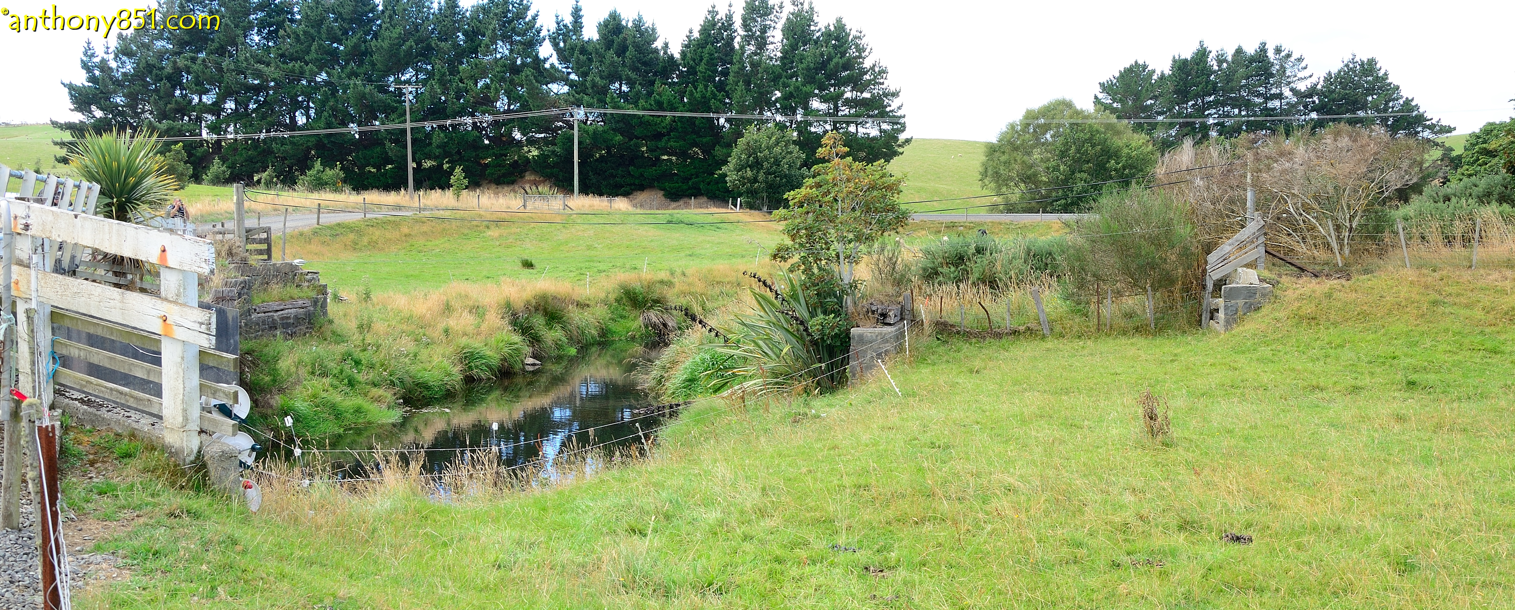
Twine Mill Road 3
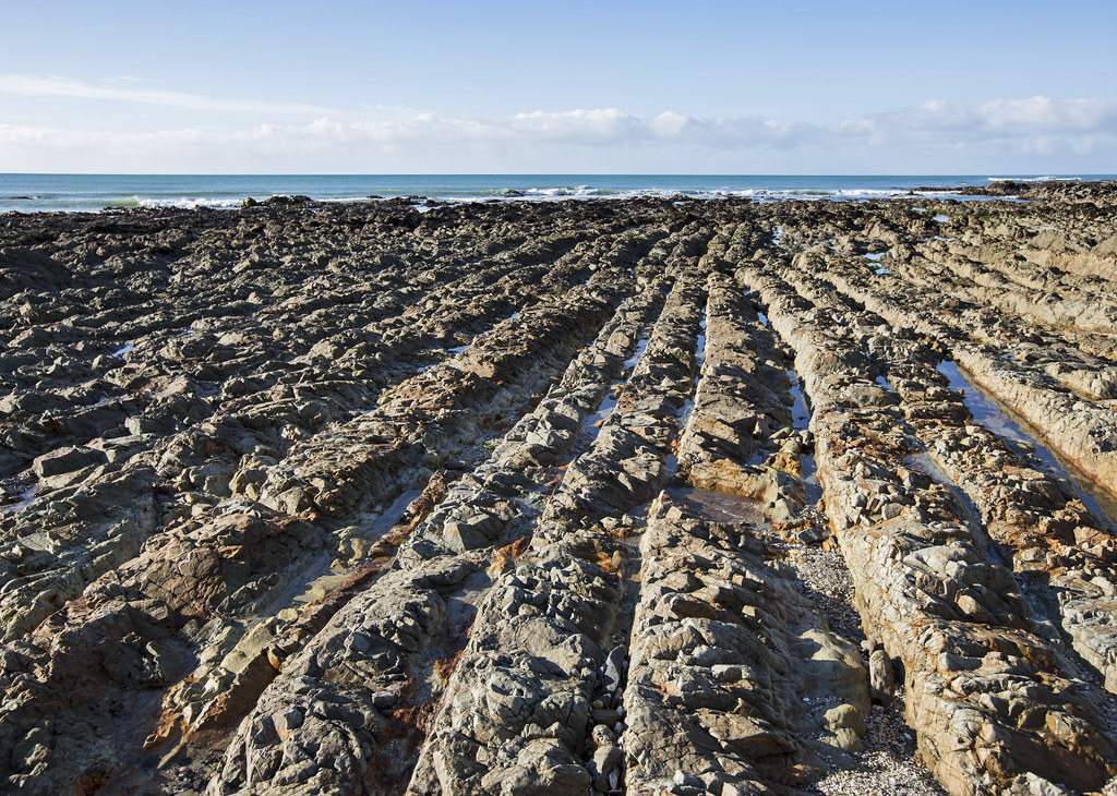
Kaka Point Rock Rows

Clutha River Overflow
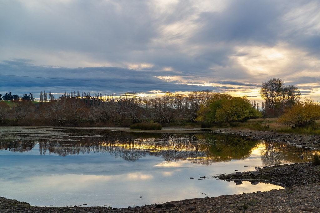
Balclutha Scene

Morning Reeds
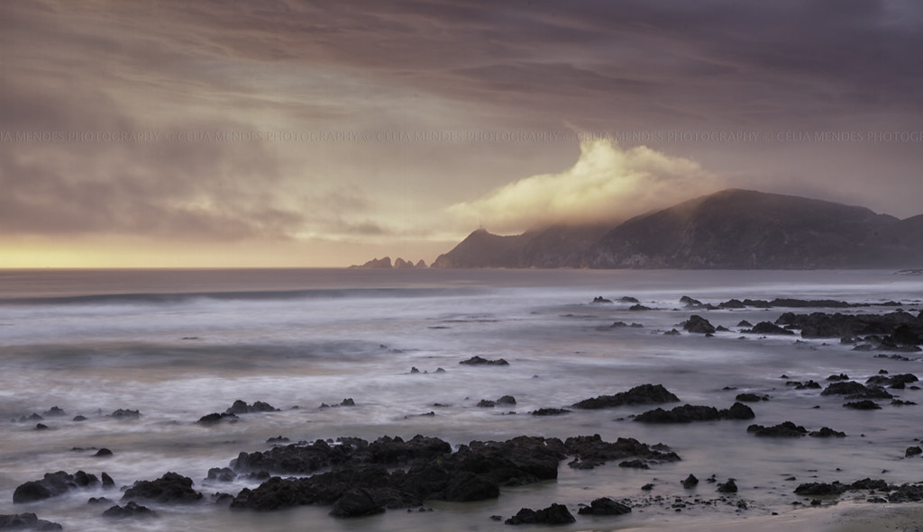
Sunrise over Nugget Point seen from Kaimataitai, Otago, New Zealand, Oct 2013

Molyneux Bay

The Nuggets, Catlins, New Zealand

Driftwood sculptures

Rural South-Otago

Rural South-Otago

Rural South-Otago

Turn back, you'll never make it!

The Nuggets, Catlins, New Zealand

Twine Mill Road 2

Coast at Kaka Point

Nuggets' Point
Topographic Map of Otanomomo, New Zealand
Find elevation by address:

Places near Otanomomo, New Zealand:
498 Owaka Hwy
23 Clifford St
304 Kaitangata Hwy
Stirling
Balclutha
12 Gormack St
13 Moir Street
Monterey Drive
33 Clyde Terrace
2 Tarata St
Kaitangata
31 Exmouth St
Clutha District
1223 Hunt Rd
Owaka Valley
4 Cross Street
Milton
14 Helensbrook Rd
419 Lawrence-waitahuna Highway
Forsyth
Recent Searches:
- Elevation of Corso Fratelli Cairoli, 35, Macerata MC, Italy
- Elevation of Tallevast Rd, Sarasota, FL, USA
- Elevation of 4th St E, Sonoma, CA, USA
- Elevation of Black Hollow Rd, Pennsdale, PA, USA
- Elevation of Oakland Ave, Williamsport, PA, USA
- Elevation of Pedrógão Grande, Portugal
- Elevation of Klee Dr, Martinsburg, WV, USA
- Elevation of Via Roma, Pieranica CR, Italy
- Elevation of Tavkvetili Mountain, Georgia
- Elevation of Hartfords Bluff Cir, Mt Pleasant, SC, USA