Elevation of Balclutha, New Zealand
Location: New Zealand > Otago >
Longitude: 169.746016
Latitude: -46.234384
Elevation: 15m / 49feet
Barometric Pressure: 101KPa
Elevation Map:
Satellite Map:
Related Photos:

Hotel South Otago.

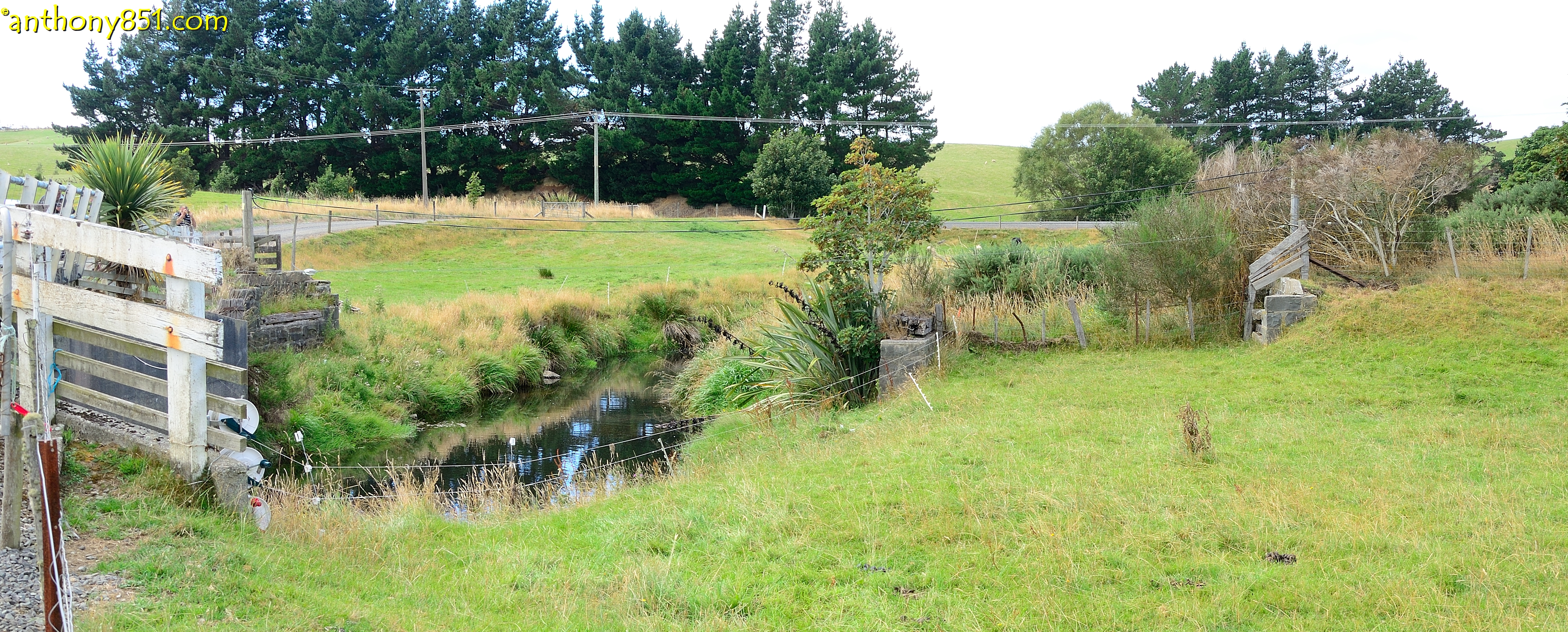
Clutha River Overflow
Balclutha Scene

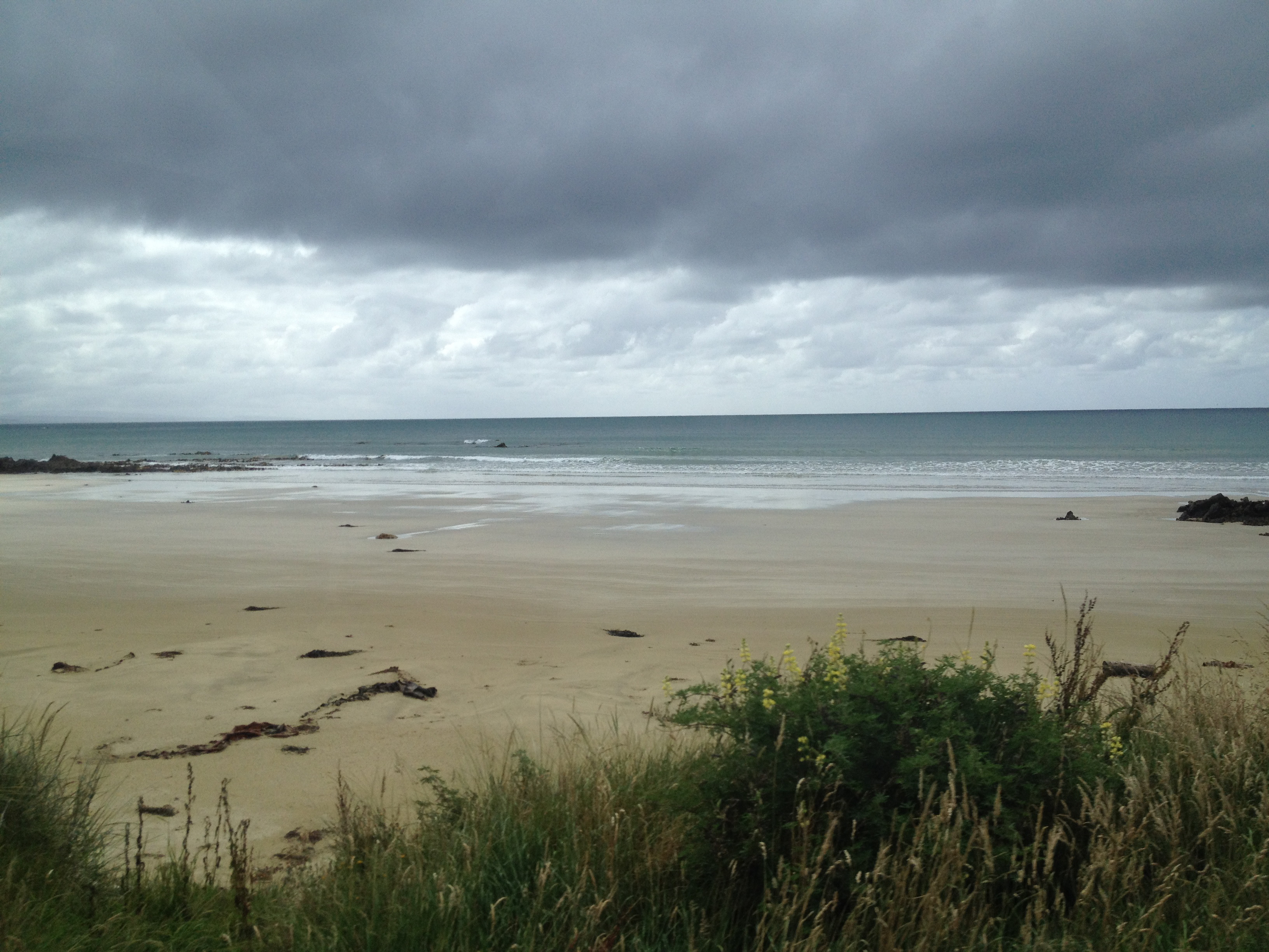
Rural South-Otago

Rural South-Otago

Rural South-Otago

Turn back, you'll never make it!
Twine Mill Road 3

Twine Mill Road 2

Nuggets' Point

At the very top

2017 New Zealand P10 3577

2017 New Zealand P10 3579

Bull at Kaka Point

2017 New Zealand P10 3574
IMG_5183.jpg

2017 New Zealand P10 3578

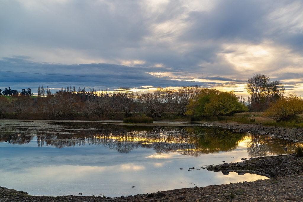
Sunrise, Balclutha
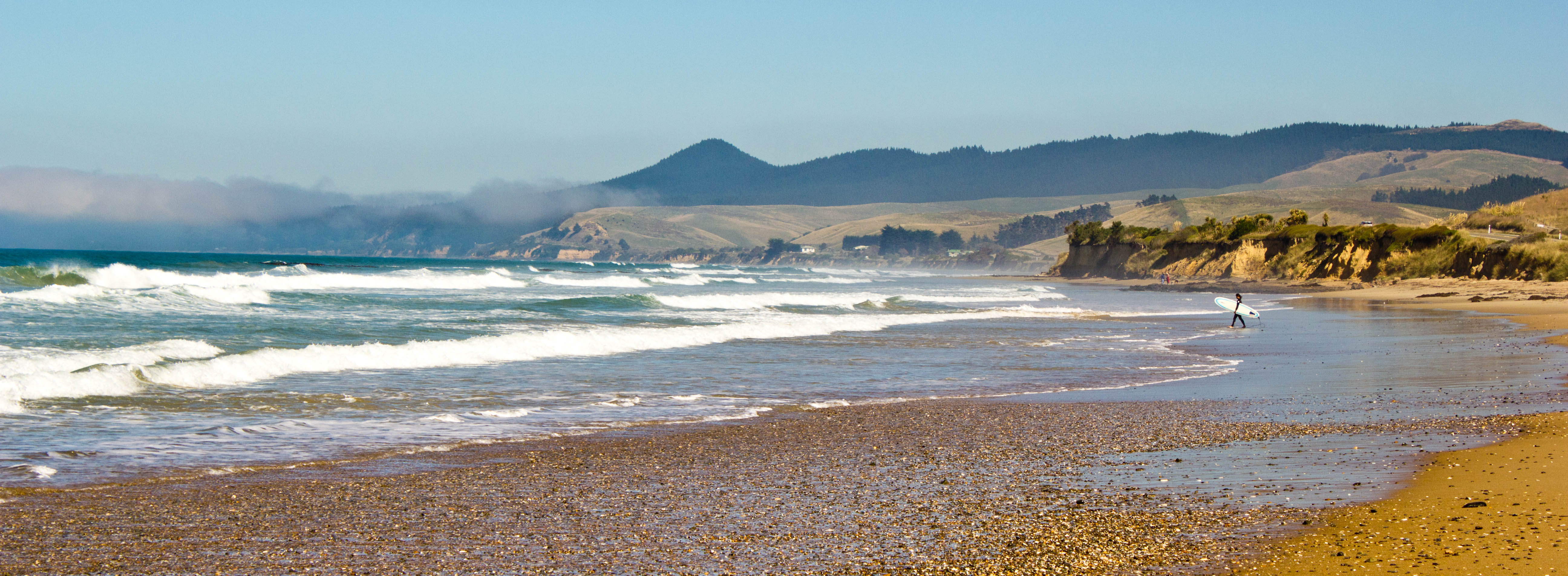
In the water the rest of the world means nothing

Sunrise Balcllutha

IMG_1469.jpg

2017 New Zealand P10 3567
Topographic Map of Balclutha, New Zealand
Find elevation by address:

Places in Balclutha, New Zealand:
Places near Balclutha, New Zealand:
12 Gormack St
13 Moir Street
Monterey Drive
23 Clifford St
Stirling
304 Kaitangata Hwy
498 Owaka Hwy
Otanomomo
33 Clyde Terrace
Kaitangata
31 Exmouth St
Clutha District
2 Tarata St
1223 Hunt Rd
4 Cross Street
Milton
14 Helensbrook Rd
Owaka Valley
419 Lawrence-waitahuna Highway
Forsyth
Recent Searches:
- Elevation of Corso Fratelli Cairoli, 35, Macerata MC, Italy
- Elevation of Tallevast Rd, Sarasota, FL, USA
- Elevation of 4th St E, Sonoma, CA, USA
- Elevation of Black Hollow Rd, Pennsdale, PA, USA
- Elevation of Oakland Ave, Williamsport, PA, USA
- Elevation of Pedrógão Grande, Portugal
- Elevation of Klee Dr, Martinsburg, WV, USA
- Elevation of Via Roma, Pieranica CR, Italy
- Elevation of Tavkvetili Mountain, Georgia
- Elevation of Hartfords Bluff Cir, Mt Pleasant, SC, USA