Elevation of Kaitangata Hwy, Stirling, New Zealand
Location: New Zealand > Otago > Stirling >
Longitude: 169.783515
Latitude: -46.253567
Elevation: 11m / 36feet
Barometric Pressure: 101KPa
Elevation Map:
Satellite Map:
Related Photos:

Hotel South Otago.

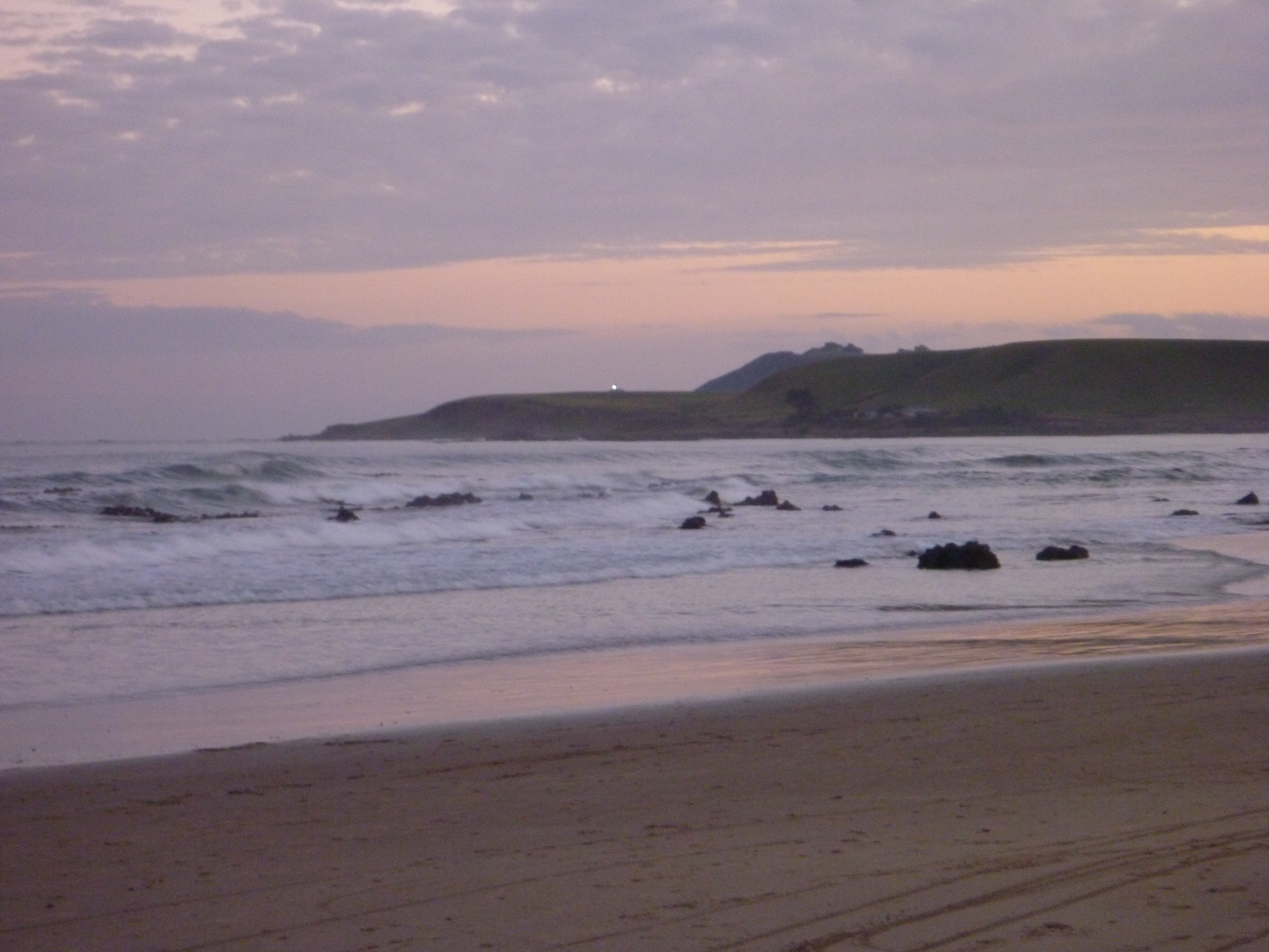
Nugget Point Lighthouse at Night
Bad weather?

Kaka Point Rock Rows

Clutha River Overflow
Clutha River Overflow

2010 Nouvelle Zélande
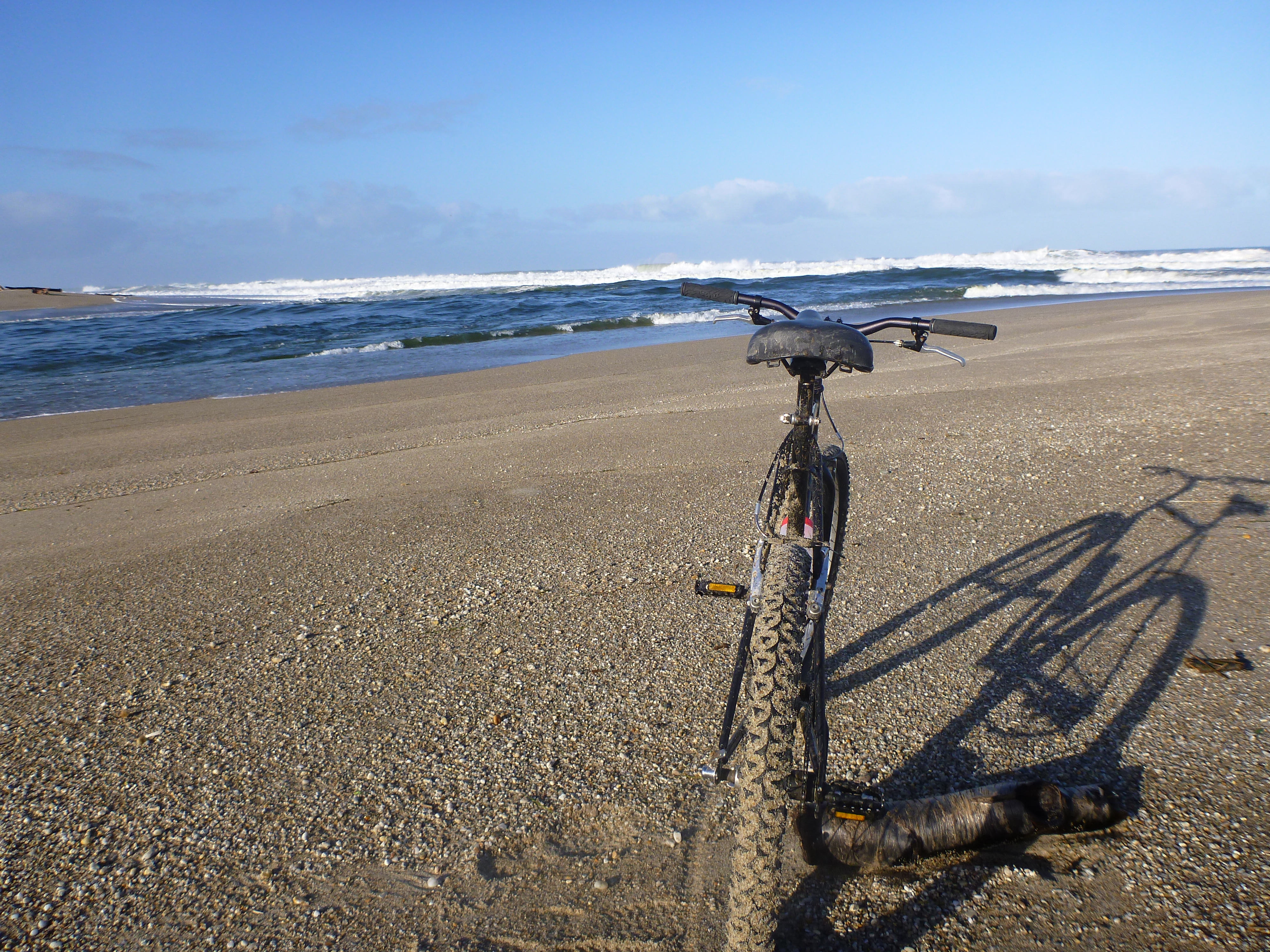
Last few kms.mvc
IMG_5175.jpg

In the water the rest of the world means nothing
Turn back, you'll never make it!
Kaka Point

Kaka Point
Cycle NZ_59

The Catlins
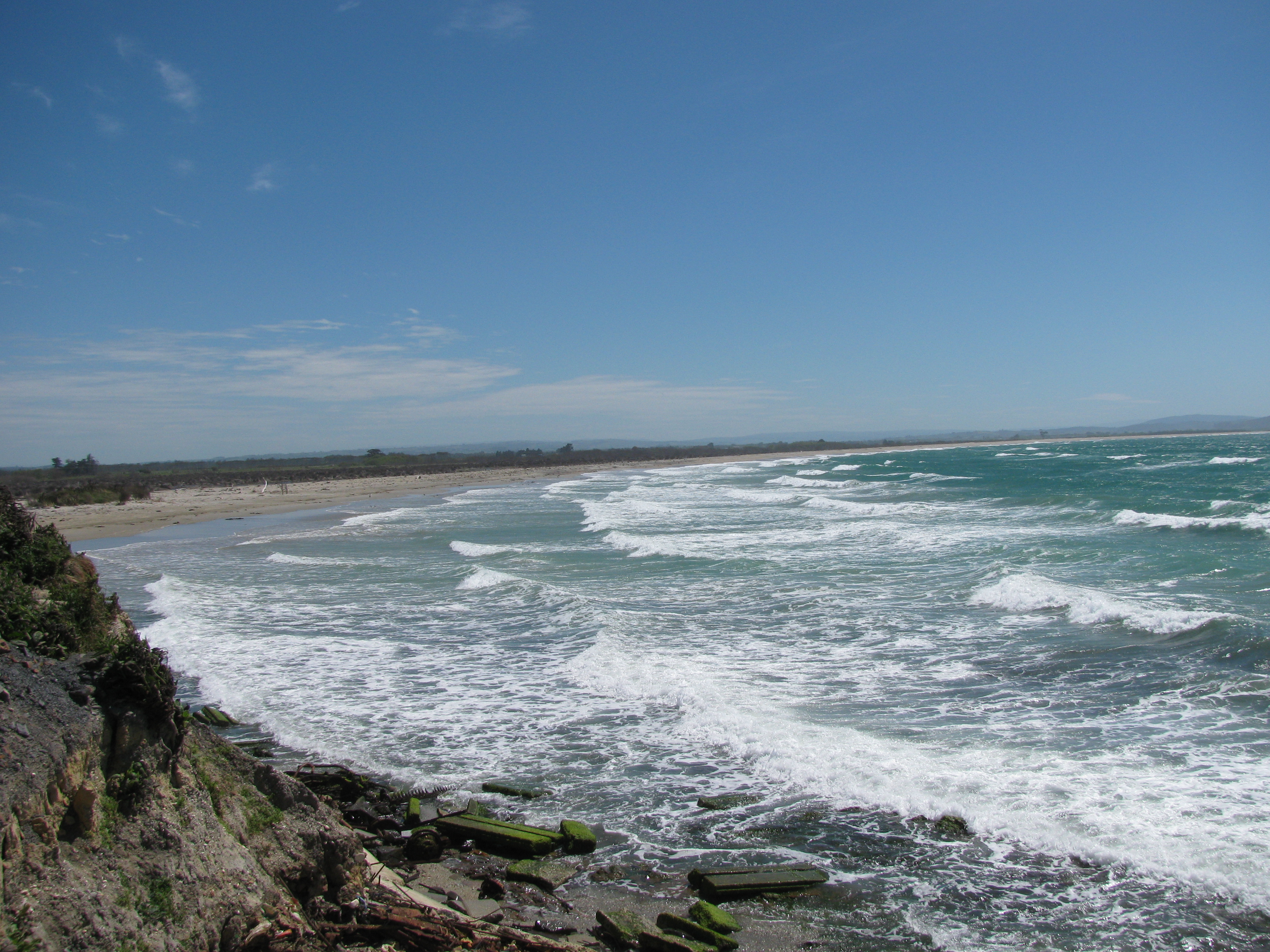
Coast at Kaka Point
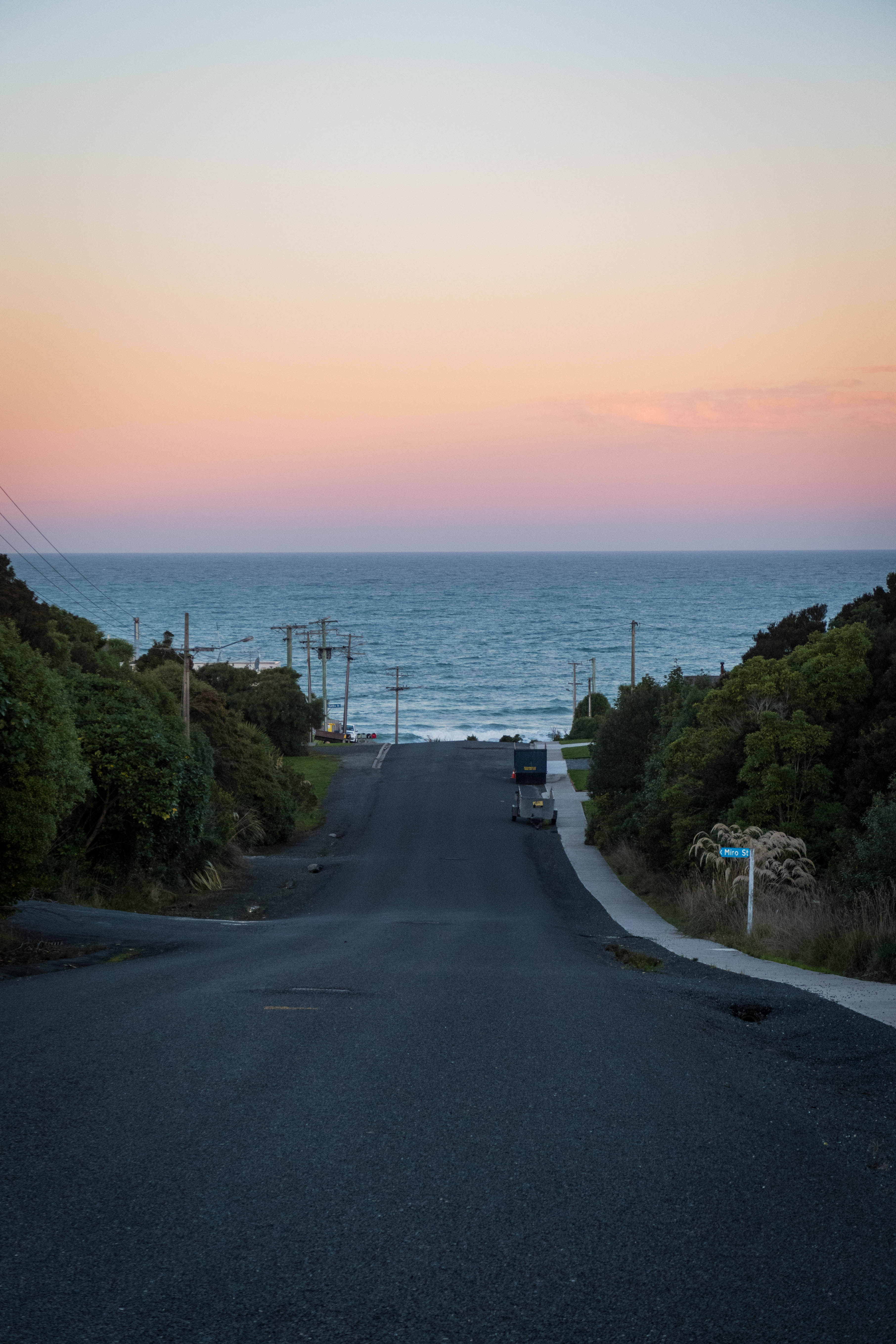
Road to the sea

Bull at Kaka Point
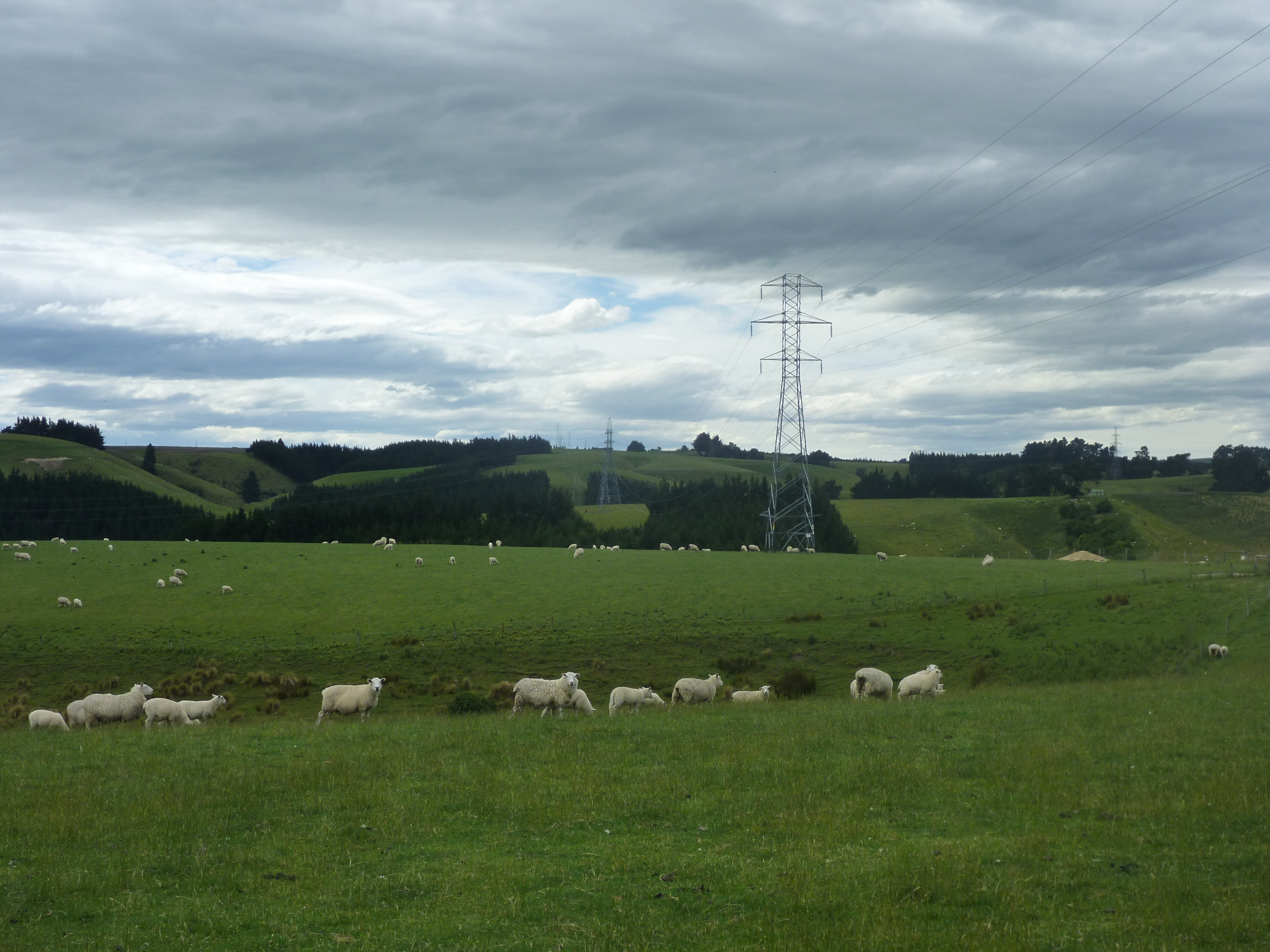
Sheepies and electrons...

Sunrise Balcllutha

The Catlins

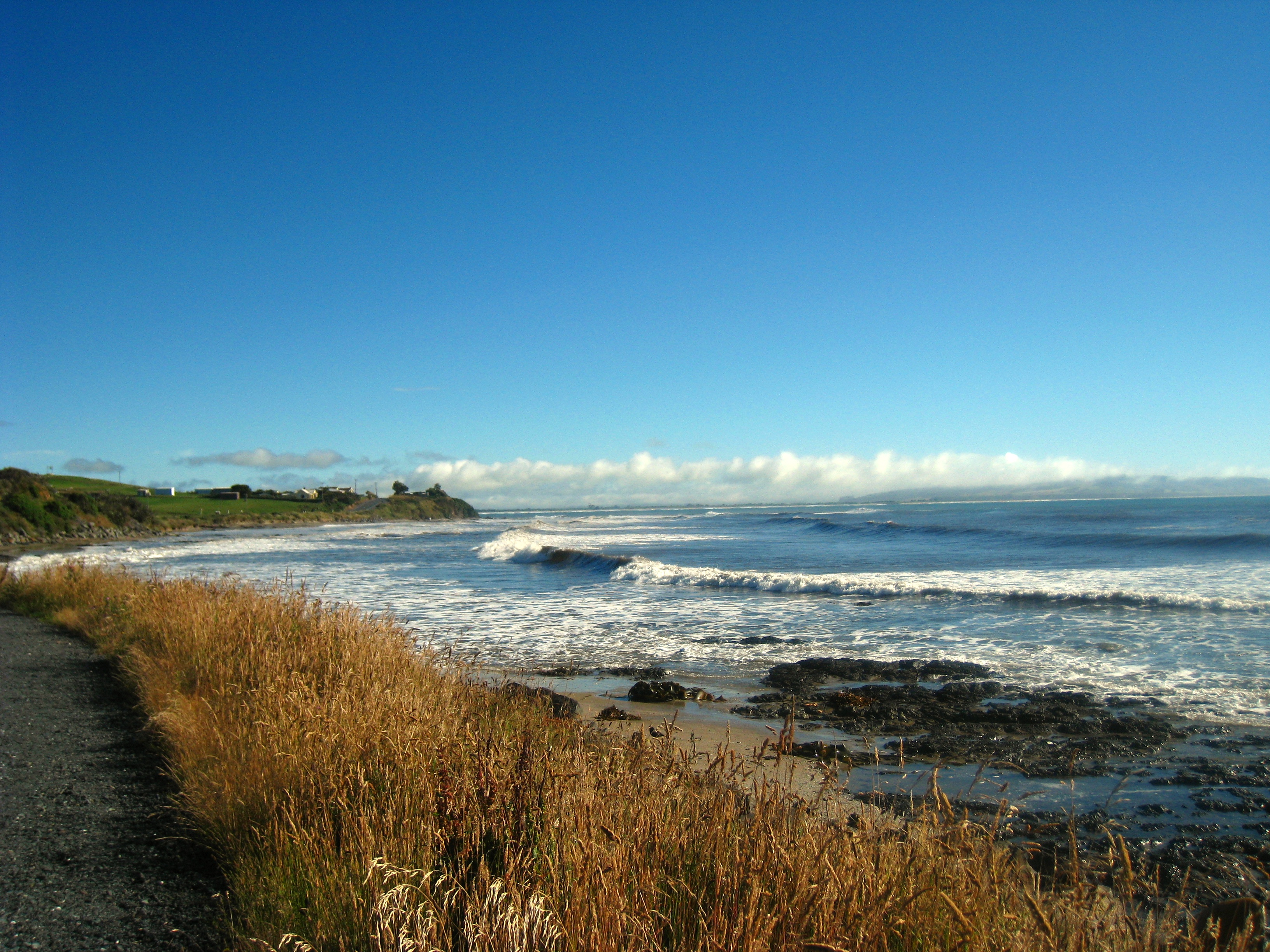
Molyneux Bay
Topographic Map of Kaitangata Hwy, Stirling, New Zealand
Find elevation by address:

Places near Kaitangata Hwy, Stirling, New Zealand:
Stirling
12 Gormack St
Balclutha
Monterey Drive
13 Moir Street
33 Clyde Terrace
23 Clifford St
Otanomomo
498 Owaka Hwy
Kaitangata
31 Exmouth St
2 Tarata St
Clutha District
4 Cross Street
Milton
14 Helensbrook Rd
1223 Hunt Rd
Owaka Valley
419 Lawrence-waitahuna Highway
Forsyth
Recent Searches:
- Elevation of Corso Fratelli Cairoli, 35, Macerata MC, Italy
- Elevation of Tallevast Rd, Sarasota, FL, USA
- Elevation of 4th St E, Sonoma, CA, USA
- Elevation of Black Hollow Rd, Pennsdale, PA, USA
- Elevation of Oakland Ave, Williamsport, PA, USA
- Elevation of Pedrógão Grande, Portugal
- Elevation of Klee Dr, Martinsburg, WV, USA
- Elevation of Via Roma, Pieranica CR, Italy
- Elevation of Tavkvetili Mountain, Georgia
- Elevation of Hartfords Bluff Cir, Mt Pleasant, SC, USA