Elevation of Forsyth, New Zealand
Location: New Zealand > Otago >
Longitude: 169.836932
Latitude: -45.942948
Elevation: 321m / 1053feet
Barometric Pressure: 98KPa
Elevation Map:
Satellite Map:
Related Photos:

St Patrick's Church, School & Hall, Lawrence #3 Front of building

View through the Window

Manuka Tunnel

Mahinerangi Hillscape
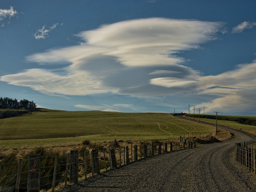
Lenticular, Mahinerangi Rd

Forest Light

Waipori Falls River

A rock in my stream

Crystal Falls

End of Autumn

Lovely rustic old bridge

Waitahuna Rail Station & Goods Shed c1877

Clyde-Roxburgh Trip-25

Clyde-Roxburgh Trip-22
Topographic Map of Forsyth, New Zealand
Find elevation by address:

Places near Forsyth, New Zealand:
419 Lawrence-waitahuna Highway
2 Iona Street
33 Ross Pl
Lawrence
4 Cross Street
Milton
14 Helensbrook Rd
Clarendon
Baker Road
Clutha District
Waihola
24 Nore St
Outram
Monterey Drive
13 Moir Street
12 Gormack St
Balclutha
Stirling
304 Kaitangata Hwy
23 Clifford St
Recent Searches:
- Elevation of Corso Fratelli Cairoli, 35, Macerata MC, Italy
- Elevation of Tallevast Rd, Sarasota, FL, USA
- Elevation of 4th St E, Sonoma, CA, USA
- Elevation of Black Hollow Rd, Pennsdale, PA, USA
- Elevation of Oakland Ave, Williamsport, PA, USA
- Elevation of Pedrógão Grande, Portugal
- Elevation of Klee Dr, Martinsburg, WV, USA
- Elevation of Via Roma, Pieranica CR, Italy
- Elevation of Tavkvetili Mountain, Georgia
- Elevation of Hartfords Bluff Cir, Mt Pleasant, SC, USA