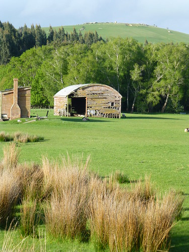
Elevation of 2 Iona Street, Lawrence, New Zealand
Location: New Zealand > Otago > Lawrence >
Longitude: 169.686749
Latitude: -45.917160
Elevation: 132m / 433feet
Barometric Pressure: 100KPa
Related Photos:
Topographic Map of 2 Iona Street, Lawrence, New Zealand
Find elevation by address:

Places near 2 Iona Street, Lawrence, New Zealand:
Lawrence
33 Ross Pl
419 Lawrence-waitahuna Highway
Forsyth
Clutha District
Monterey Drive
13 Moir Street
12 Gormack St
Balclutha
23 Clifford St
4 Cross Street
Milton
Stirling
14 Helensbrook Rd
304 Kaitangata Hwy
Rankleburn
498 Owaka Hwy
Clarendon
Millers Flat
Millers Flat Holiday Park
Recent Searches:
- Elevation of Corso Fratelli Cairoli, 35, Macerata MC, Italy
- Elevation of Tallevast Rd, Sarasota, FL, USA
- Elevation of 4th St E, Sonoma, CA, USA
- Elevation of Black Hollow Rd, Pennsdale, PA, USA
- Elevation of Oakland Ave, Williamsport, PA, USA
- Elevation of Pedrógão Grande, Portugal
- Elevation of Klee Dr, Martinsburg, WV, USA
- Elevation of Via Roma, Pieranica CR, Italy
- Elevation of Tavkvetili Mountain, Georgia
- Elevation of Hartfords Bluff Cir, Mt Pleasant, SC, USA


