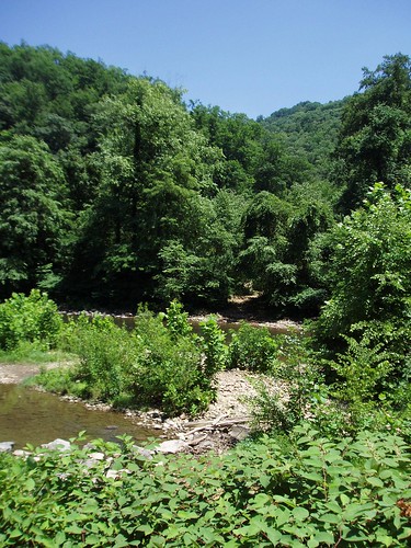
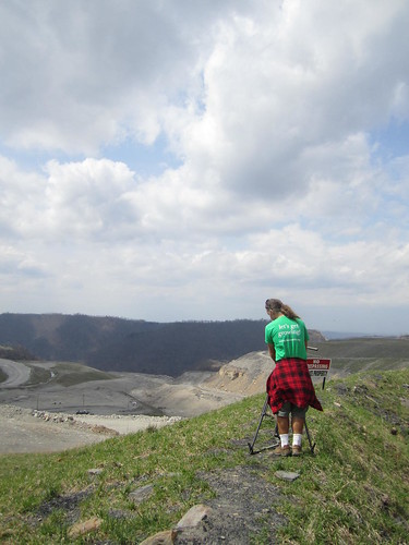
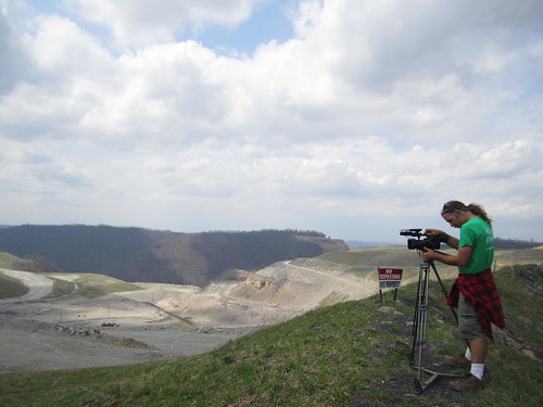
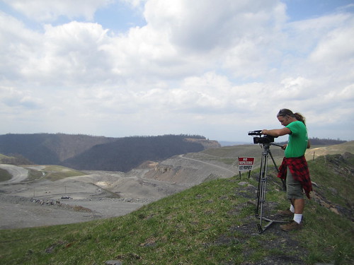
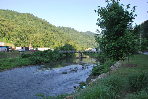
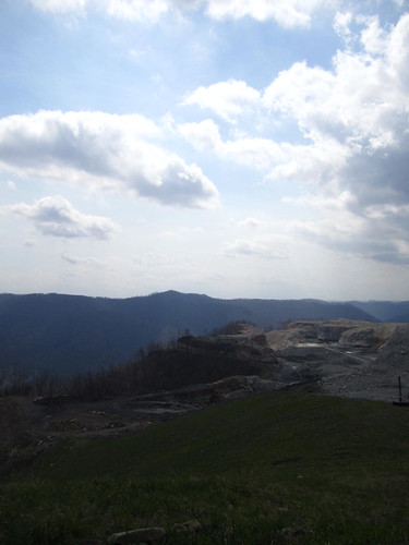
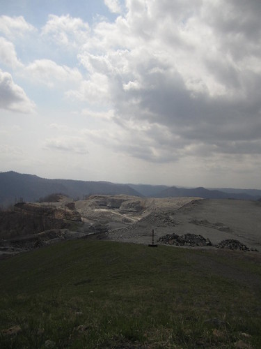
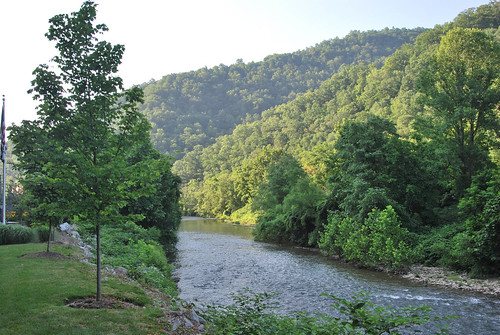
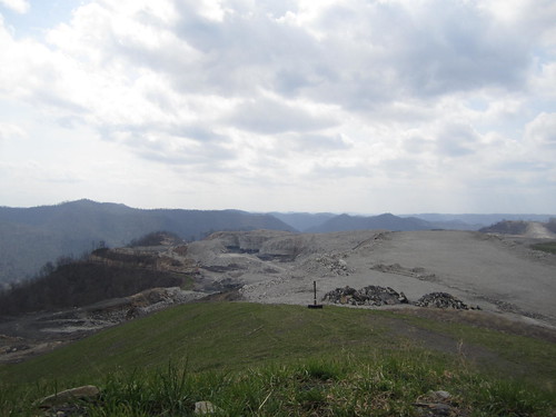
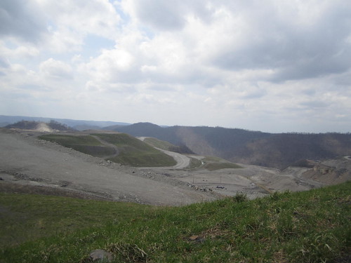
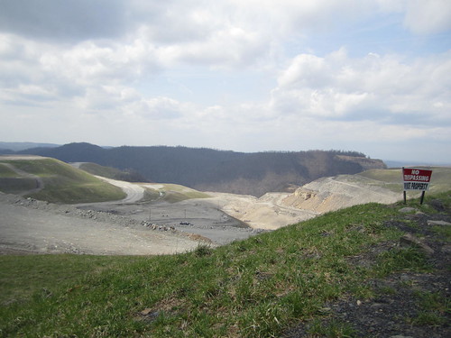
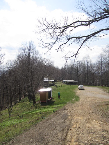
Elevation of Orgas, WV, USA
Location: United States > West Virginia > Boone County > >
Longitude: -81.572337
Latitude: 38.0584382
Elevation: 227m / 745feet
Barometric Pressure: 99KPa
Related Photos:
Topographic Map of Orgas, WV, USA
Find elevation by address:

Places in Orgas, WV, USA:
Places near Orgas, WV, USA:
River St, Orgas, WV, USA
E Fork Rd, Seth, WV, USA
1, WV, USA
Seth
Peytona
Middle White Oak Road
Woodland Ct, Van, WV, USA
Van
187 Van High School Rd
2, WV, USA
Boone County
Big Laurel Creek Rd, Madison, WV, USA
Madison
Kiah Creek Rd, Danville, WV, USA
Danville
Damron Branch Rd, Julian, WV, USA
3, WV, USA
3, WV, USA
3, WV, USA
3, WV, USA
Recent Searches:
- Elevation of Corso Fratelli Cairoli, 35, Macerata MC, Italy
- Elevation of Tallevast Rd, Sarasota, FL, USA
- Elevation of 4th St E, Sonoma, CA, USA
- Elevation of Black Hollow Rd, Pennsdale, PA, USA
- Elevation of Oakland Ave, Williamsport, PA, USA
- Elevation of Pedrógão Grande, Portugal
- Elevation of Klee Dr, Martinsburg, WV, USA
- Elevation of Via Roma, Pieranica CR, Italy
- Elevation of Tavkvetili Mountain, Georgia
- Elevation of Hartfords Bluff Cir, Mt Pleasant, SC, USA
