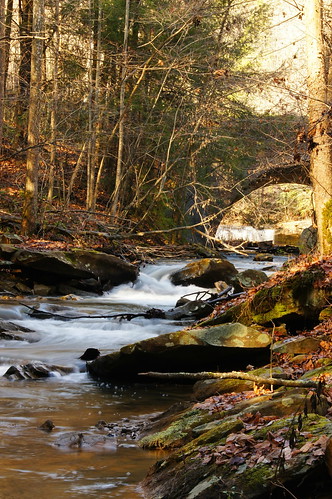
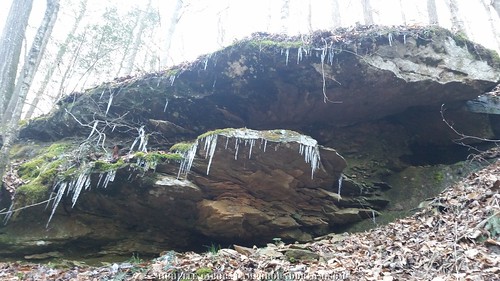
Elevation of Middle White Oak Road, Co Hwy /01, West Virginia, USA
Location: United States > West Virginia > Boone County > Peytona >
Longitude: -81.704413
Latitude: 38.1356357
Elevation: 248m / 814feet
Barometric Pressure: 98KPa
Related Photos:
Topographic Map of Middle White Oak Road, Co Hwy /01, West Virginia, USA
Find elevation by address:

Places near Middle White Oak Road, Co Hwy /01, West Virginia, USA:
Peytona
Seth
1, WV, USA
E Fork Rd, Seth, WV, USA
Damron Branch Rd, Julian, WV, USA
Madison
499-101,2-298
Big Laurel Creek Rd, Madison, WV, USA
Danville
3, WV, USA
3, WV, USA
3, WV, USA
3, WV, USA
3, WV, USA
3, WV, USA
3, WV, USA
3, WV, USA
3, WV, USA
3, WV, USA
3, WV, USA
Recent Searches:
- Elevation of Corso Fratelli Cairoli, 35, Macerata MC, Italy
- Elevation of Tallevast Rd, Sarasota, FL, USA
- Elevation of 4th St E, Sonoma, CA, USA
- Elevation of Black Hollow Rd, Pennsdale, PA, USA
- Elevation of Oakland Ave, Williamsport, PA, USA
- Elevation of Pedrógão Grande, Portugal
- Elevation of Klee Dr, Martinsburg, WV, USA
- Elevation of Via Roma, Pieranica CR, Italy
- Elevation of Tavkvetili Mountain, Georgia
- Elevation of Hartfords Bluff Cir, Mt Pleasant, SC, USA

