Elevation of E Fork Rd, Seth, WV, USA
Location: United States > West Virginia > Boone County > > Seth >
Longitude: -81.604467
Latitude: 38.0924102
Elevation: 214m / 702feet
Barometric Pressure: 99KPa
Elevation Map:
Satellite Map:
Related Photos:
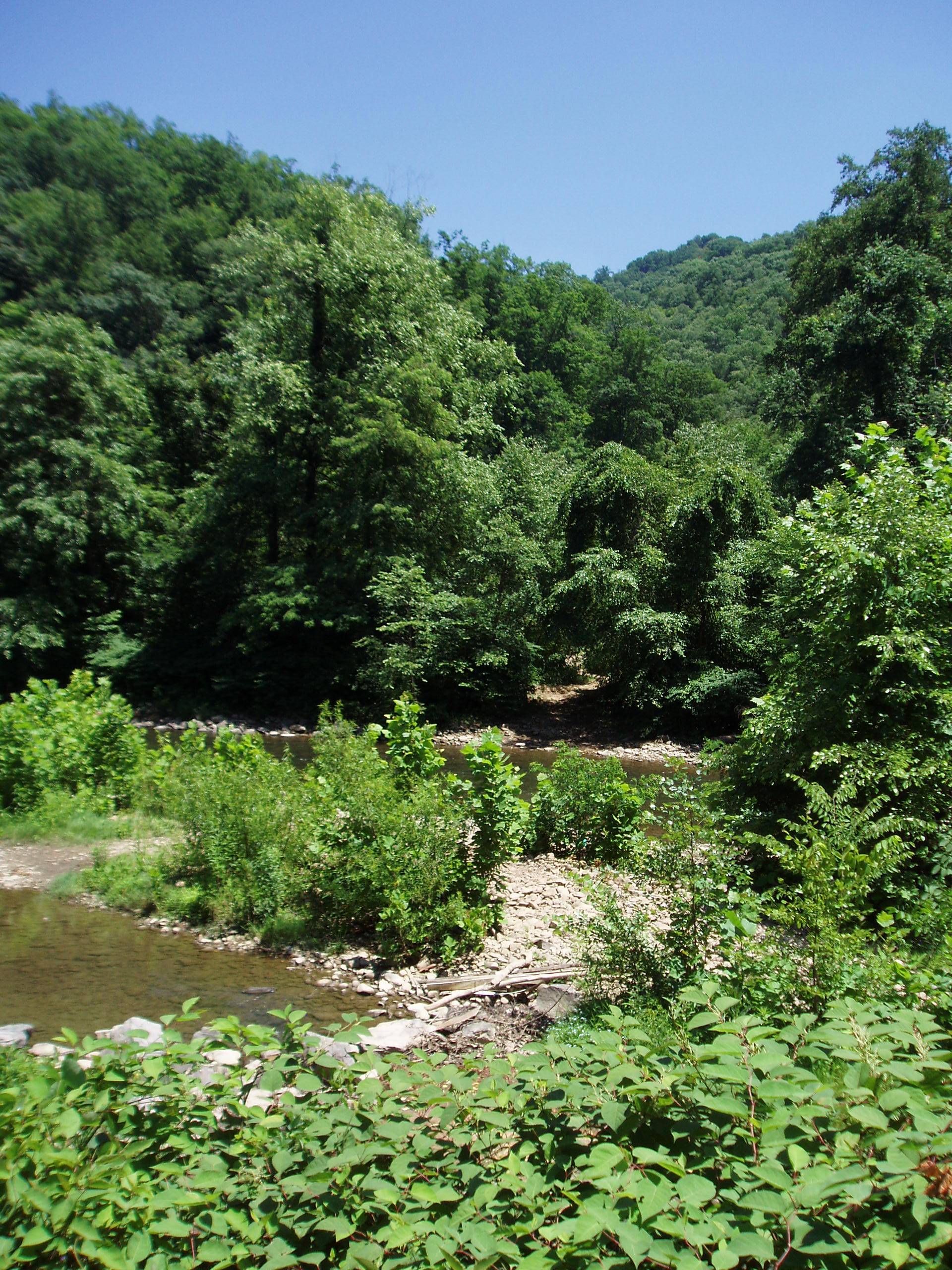
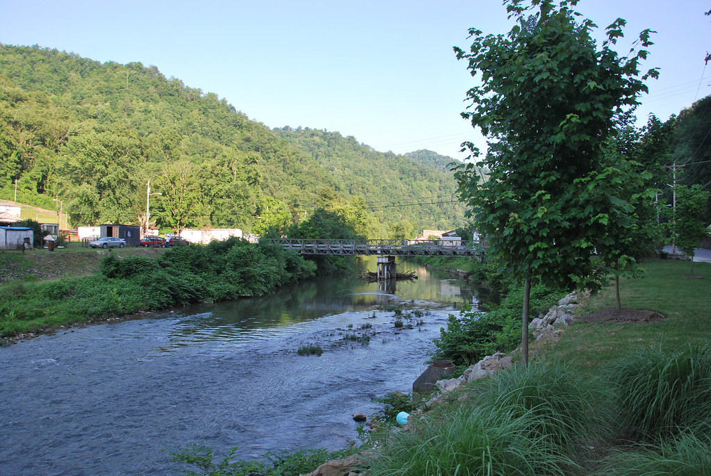
Near Whitesville WV: Near the headwaters of the Coal River
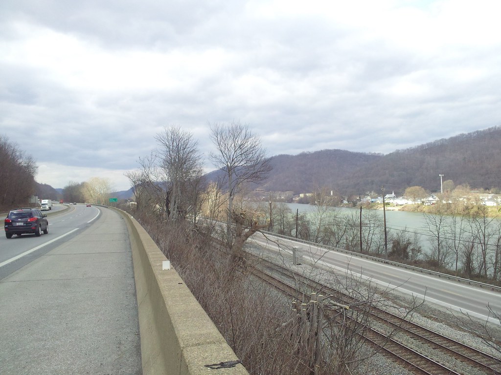
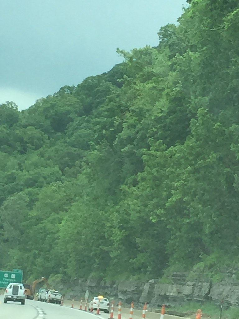
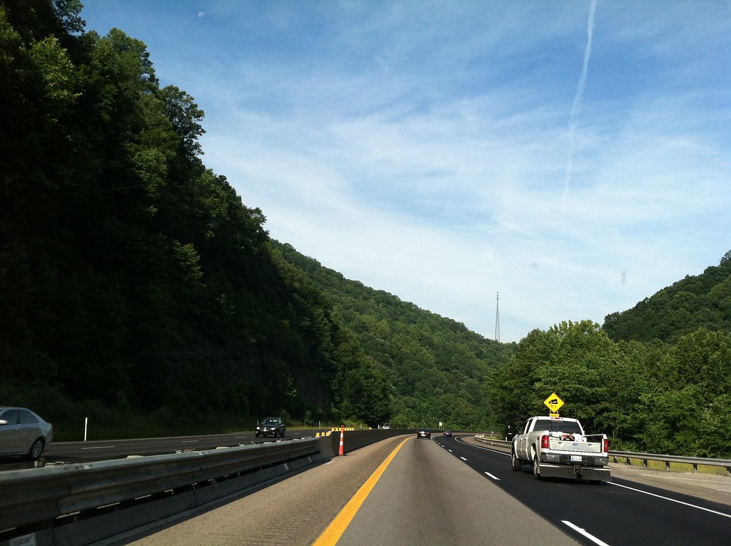
Kanawha River from I64
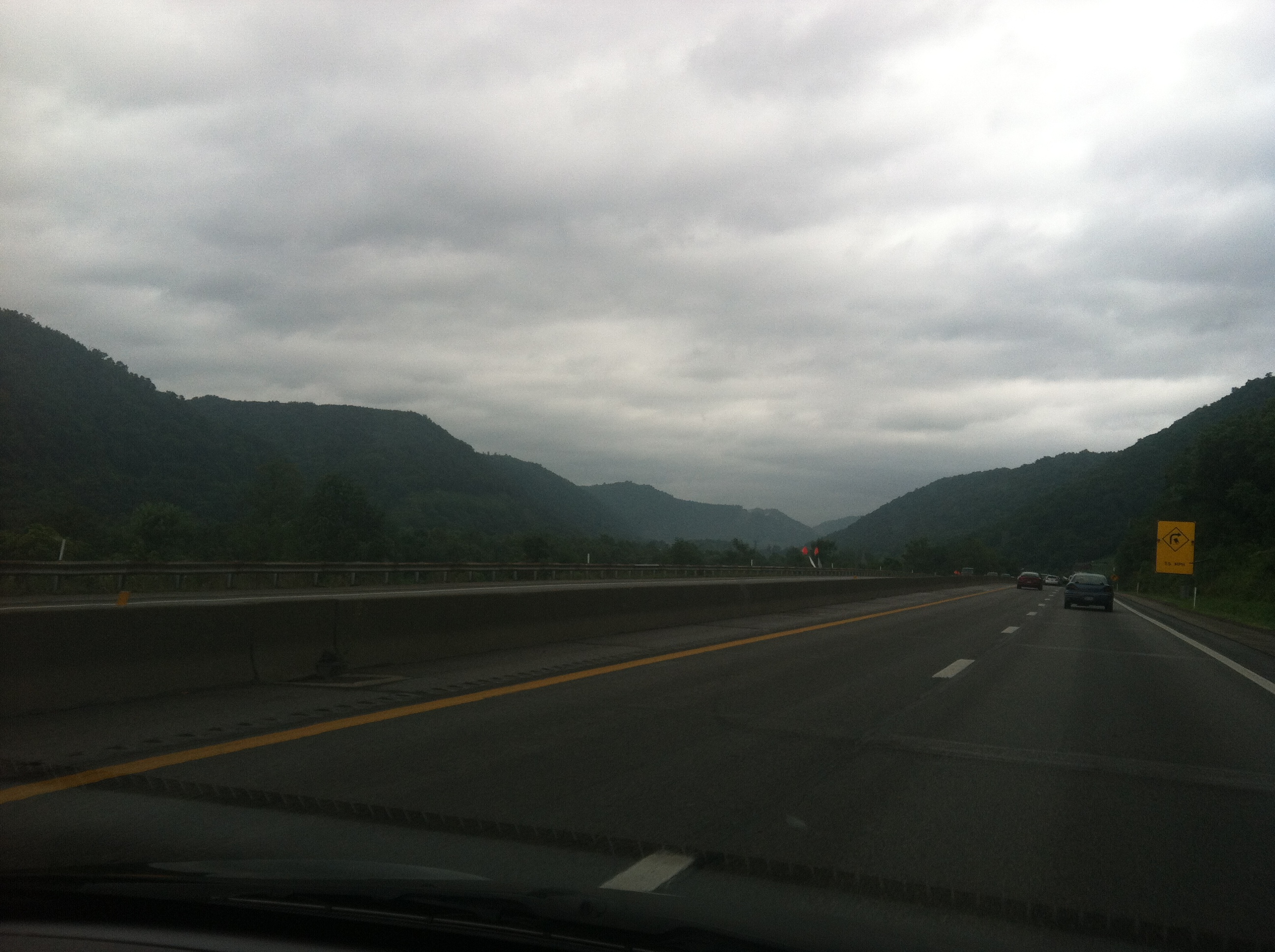
WV 3 Near Marfork Image 2 2-24-2007 Photo
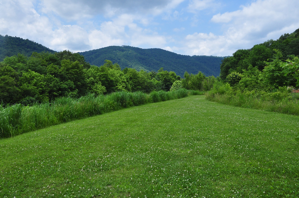
New River Gorge National River

11 11 25 Dawdry Falls Seth WV 02
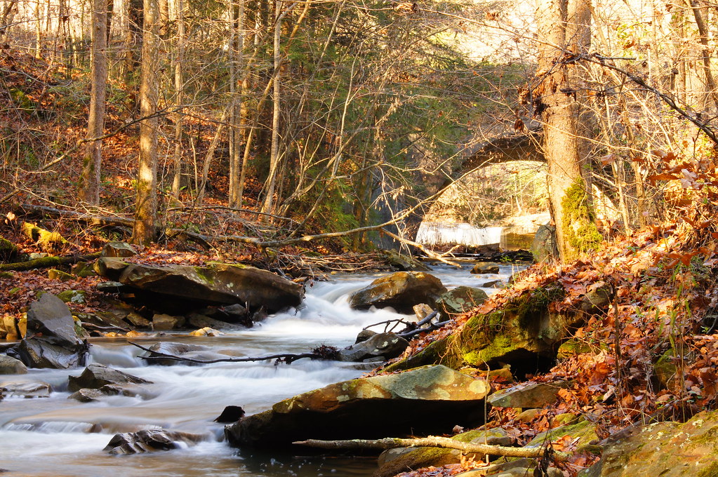
11 11 25 Dawdry Falls Seth WV 03
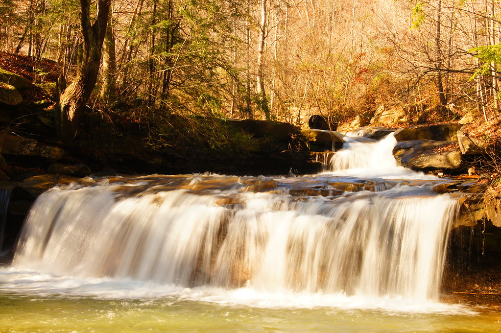
11 11 25 Dawdry Falls Seth WV 01

Bridge 911-04
East Coast Trip 2013
West Virginia: Drawdy Falls
6-6-15 163
East Coast Trip 2013
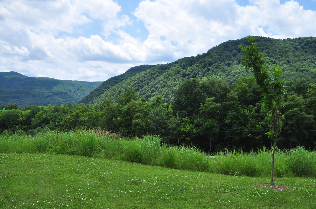
New River Gorge National River
New River Gorge National River
Upper Big Branch Miners Memorial

6-6-15 185

West Virginia - 6
West Virginia - 5

Upper Big Branch Miners Memorial
6-6-15 186
Topographic Map of E Fork Rd, Seth, WV, USA
Find elevation by address:

Places near E Fork Rd, Seth, WV, USA:
1, WV, USA
Seth
River St, Orgas, WV, USA
Orgas
Peytona
Middle White Oak Road
Woodland Ct, Van, WV, USA
Van
187 Van High School Rd
2, WV, USA
Boone County
Big Laurel Creek Rd, Madison, WV, USA
Madison
Damron Branch Rd, Julian, WV, USA
Danville
Kiah Creek Rd, Danville, WV, USA
499-101,2-298
3, WV, USA
3, WV, USA
3, WV, USA
Recent Searches:
- Elevation of Corso Fratelli Cairoli, 35, Macerata MC, Italy
- Elevation of Tallevast Rd, Sarasota, FL, USA
- Elevation of 4th St E, Sonoma, CA, USA
- Elevation of Black Hollow Rd, Pennsdale, PA, USA
- Elevation of Oakland Ave, Williamsport, PA, USA
- Elevation of Pedrógão Grande, Portugal
- Elevation of Klee Dr, Martinsburg, WV, USA
- Elevation of Via Roma, Pieranica CR, Italy
- Elevation of Tavkvetili Mountain, Georgia
- Elevation of Hartfords Bluff Cir, Mt Pleasant, SC, USA