Elevation of Big Laurel Creek Rd, Madison, WV, USA
Location: United States > West Virginia > Boone County > > Madison >
Longitude: -81.807090
Latitude: 38.0432767
Elevation: 228m / 748feet
Barometric Pressure: 99KPa
Elevation Map:
Satellite Map:
Related Photos:
11 11 25 Dawdry Falls Seth WV 02
11 11 25 Dawdry Falls Seth WV 03
11 11 25 Dawdry Falls Seth WV 01

Bridge 1056-15

Day 6: I might as well become a plant photographer.
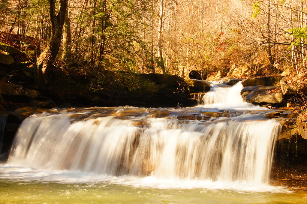
West Virginia: Drawdy Falls

Bridge 1058-04

Bridge 1058A-06
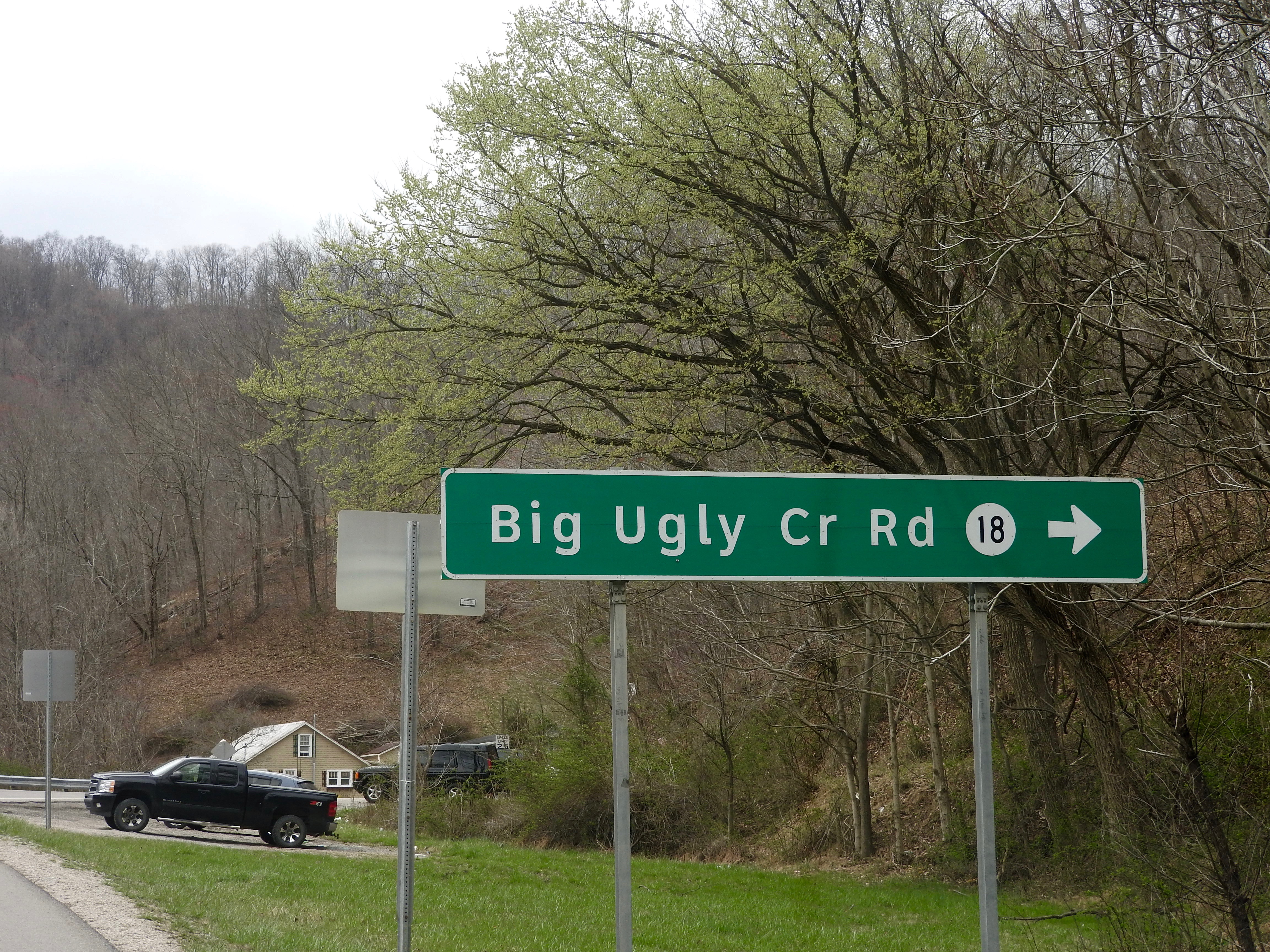
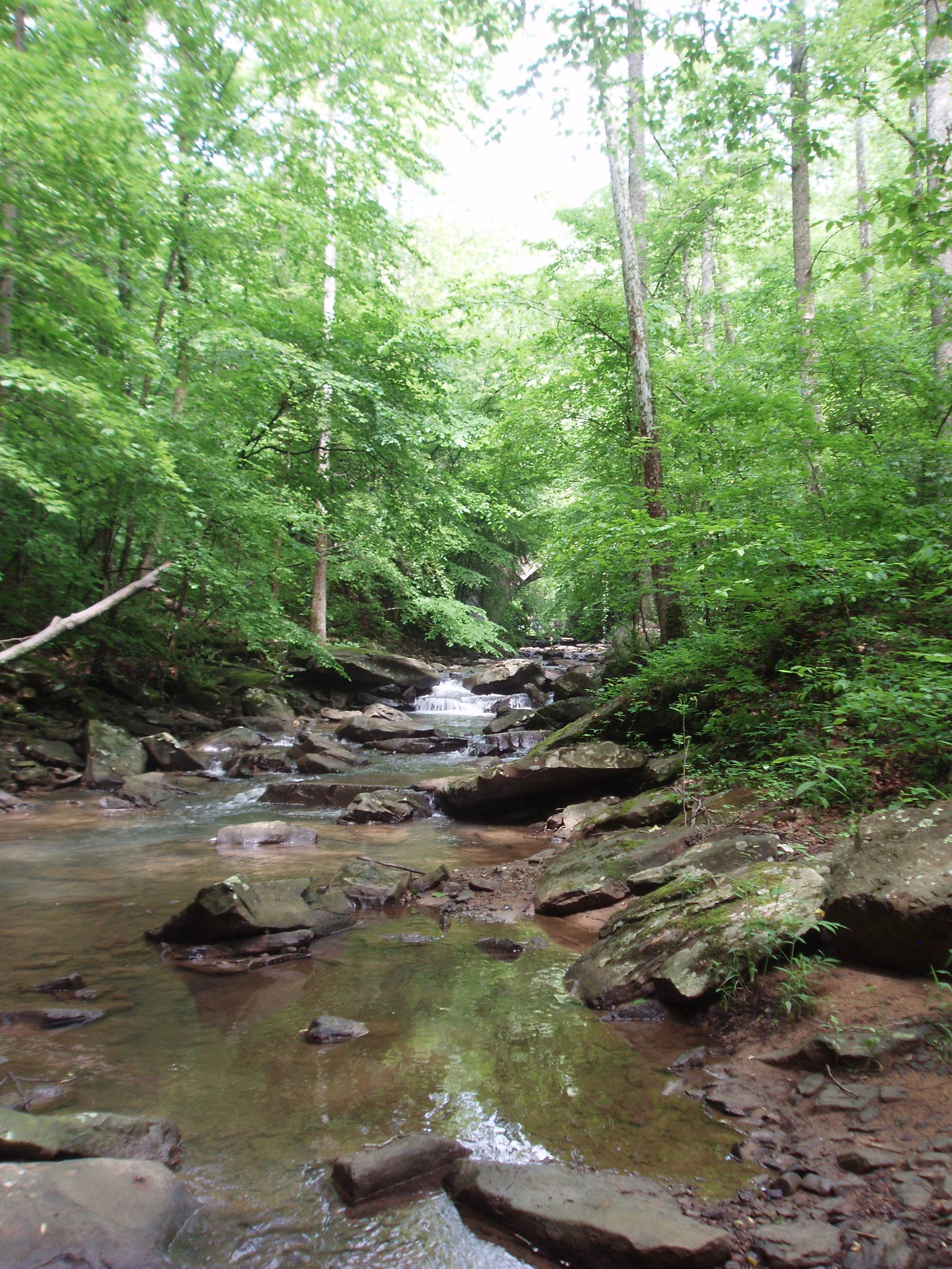
Big Ugly Creek
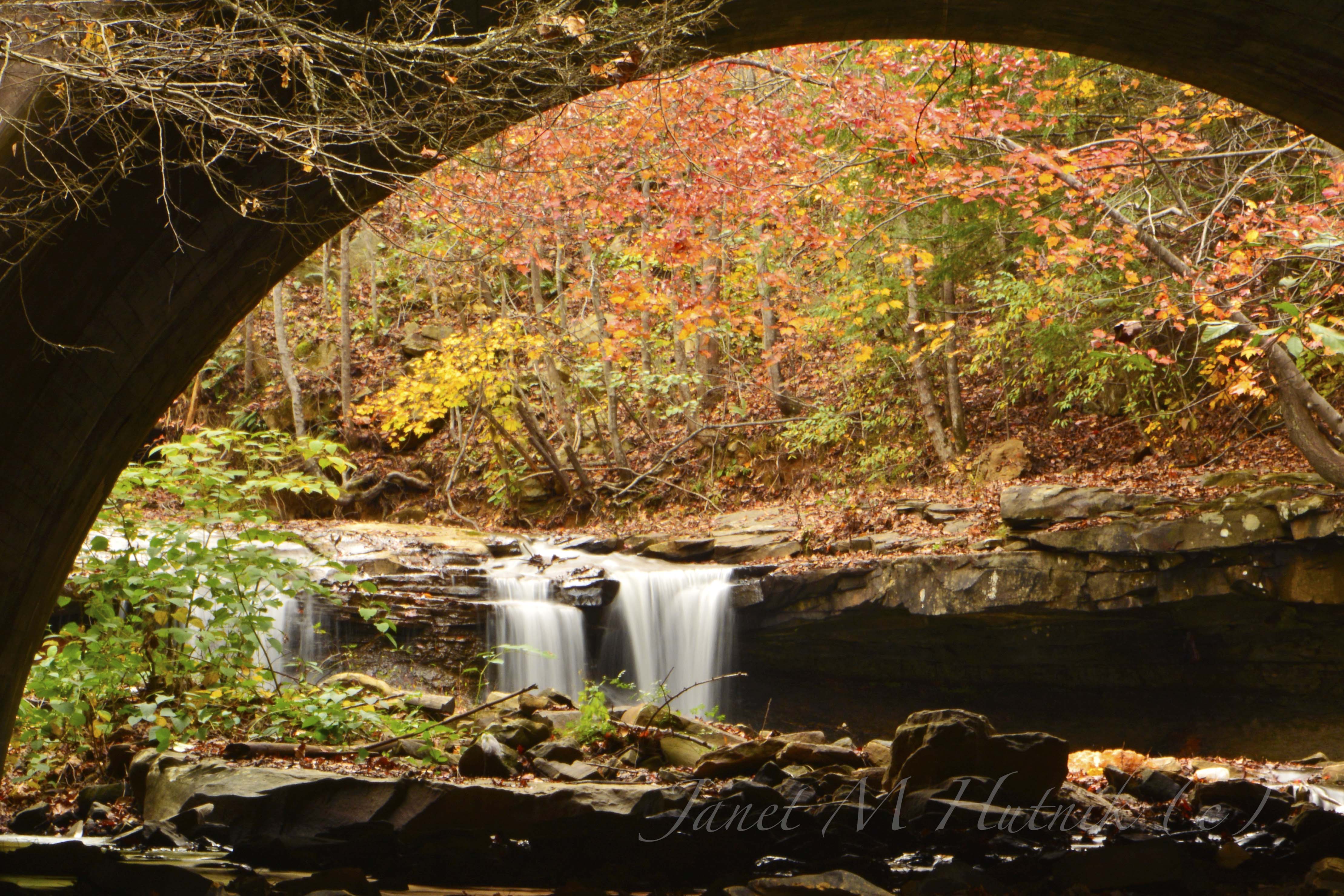
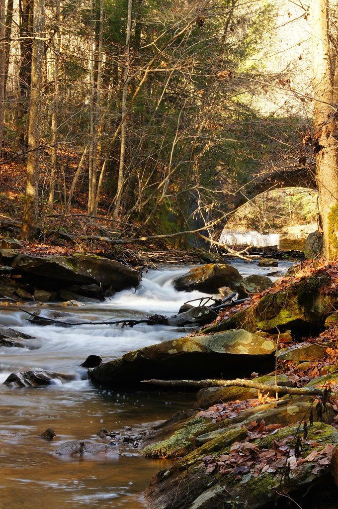
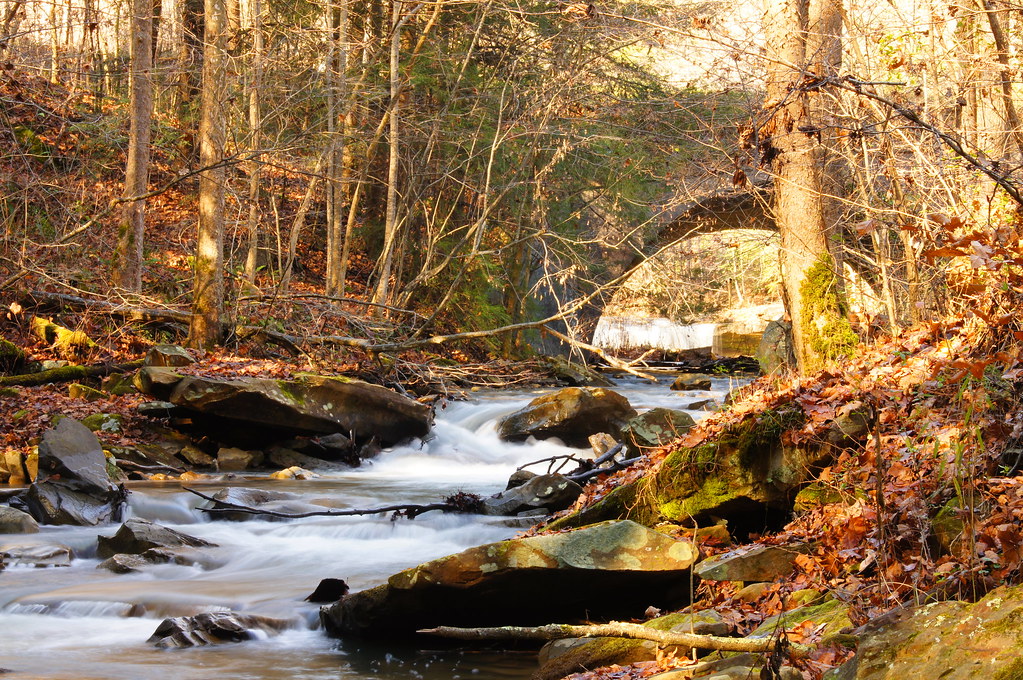
Drawdy Falls

Drawdy Falls
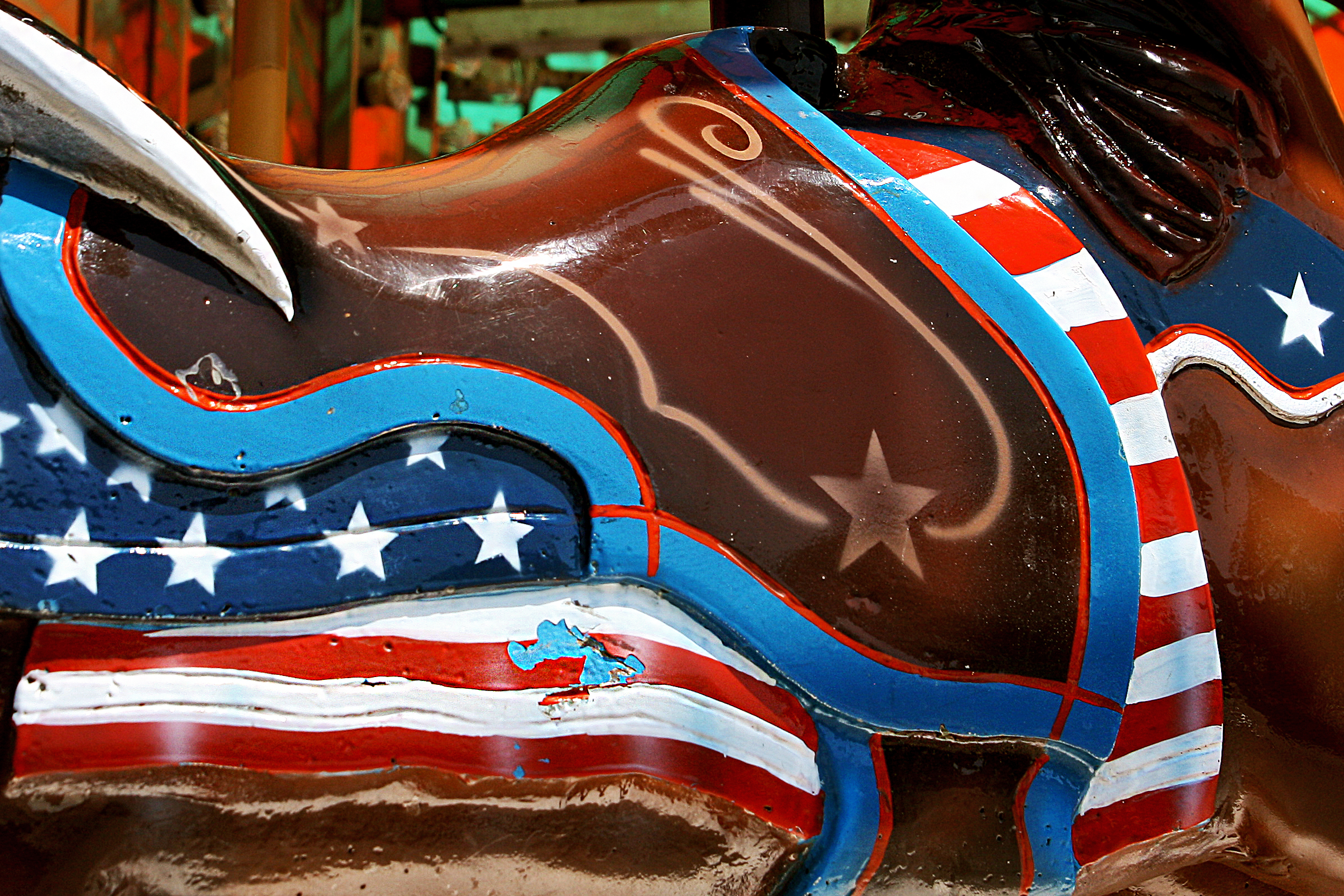
Patriotic pony

Bridge 1059-01

Bridge 1058A-01

Bridge 1058-01

Boone County Courthouse Madison WV #courthouse

#wrestling #friends #fun Austin & I. Great evening!
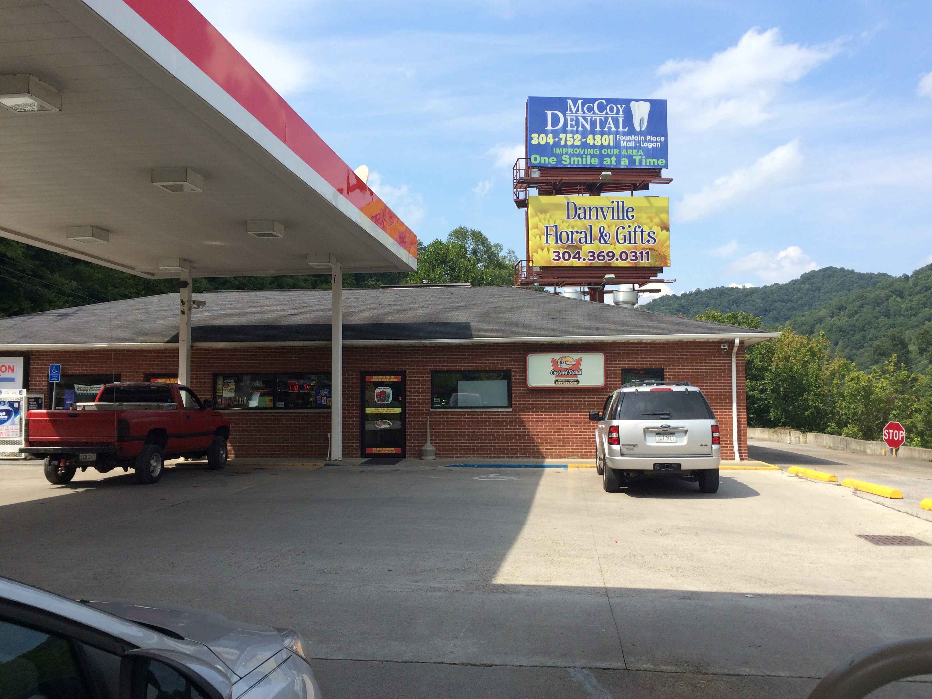
Danville Custard Stand
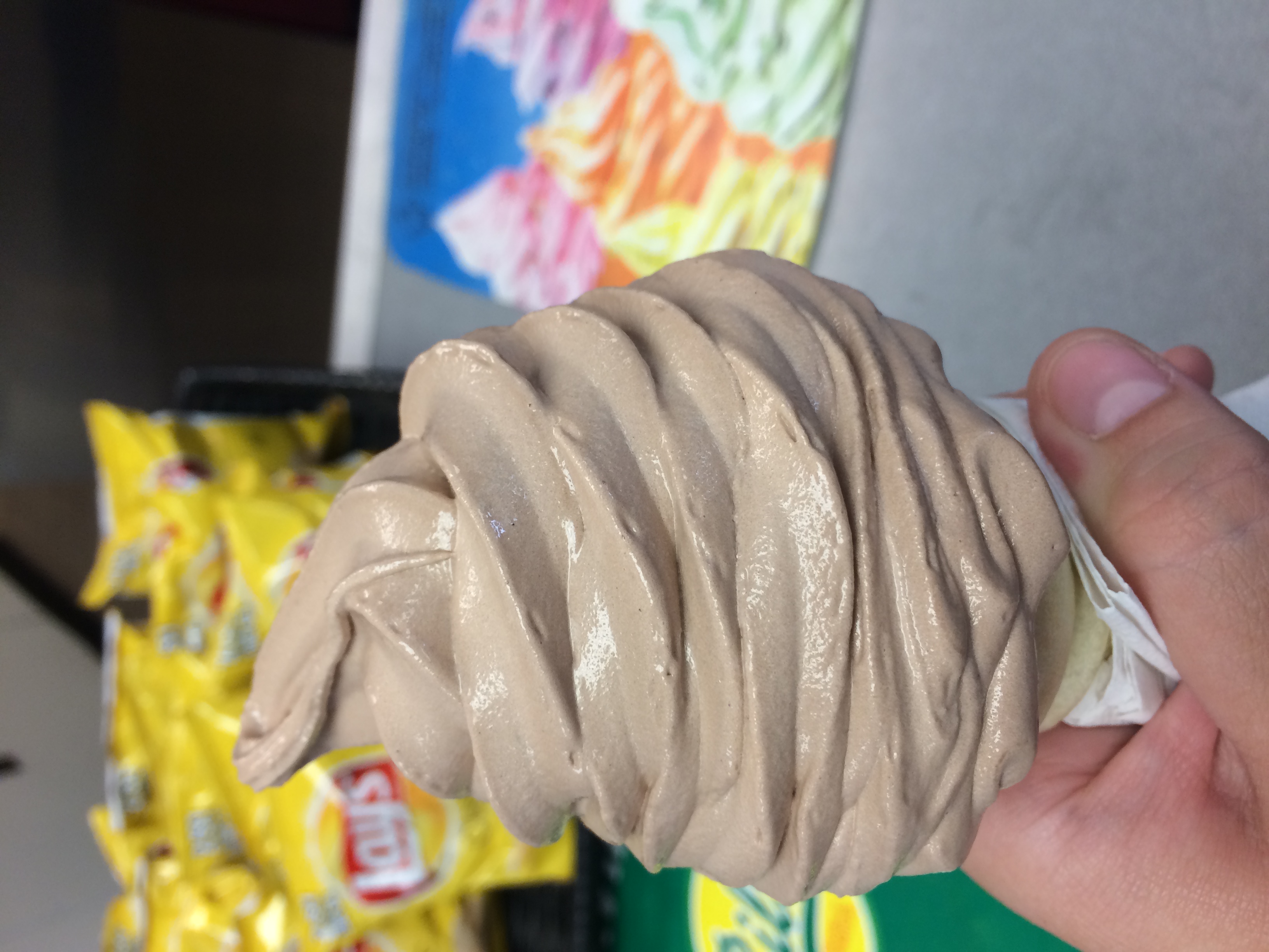
Danville Custard Stand

Danville Custard Stand

Danville Custard Stand
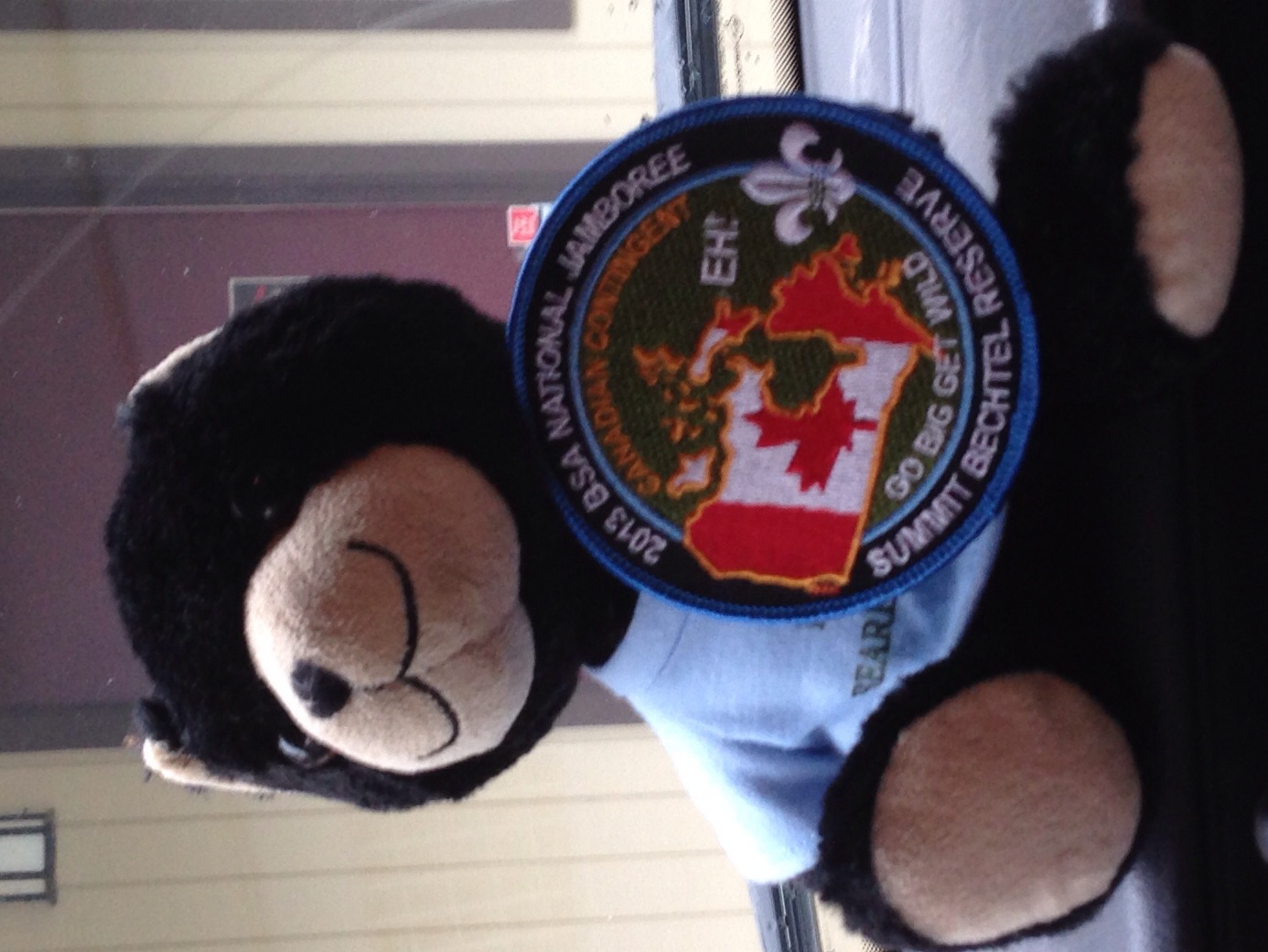
2013 BSA Jamboree

2013 BSA Jamboree

Bridge 1059-02

Bridge 1059-03

Bridge 1059-04

Bridge 1059-05
Topographic Map of Big Laurel Creek Rd, Madison, WV, USA
Find elevation by address:

Places near Big Laurel Creek Rd, Madison, WV, USA:
Madison
Danville
Kiah Creek Rd, Danville, WV, USA
3, WV, USA
3, WV, USA
3, WV, USA
3, WV, USA
3, WV, USA
3, WV, USA
3, WV, USA
3, WV, USA
3, WV, USA
3, WV, USA
3, WV, USA
3, WV, USA
3, WV, USA
3, WV, USA
3, WV, USA
3, WV, USA
3, WV, USA
Recent Searches:
- Elevation of Corso Fratelli Cairoli, 35, Macerata MC, Italy
- Elevation of Tallevast Rd, Sarasota, FL, USA
- Elevation of 4th St E, Sonoma, CA, USA
- Elevation of Black Hollow Rd, Pennsdale, PA, USA
- Elevation of Oakland Ave, Williamsport, PA, USA
- Elevation of Pedrógão Grande, Portugal
- Elevation of Klee Dr, Martinsburg, WV, USA
- Elevation of Via Roma, Pieranica CR, Italy
- Elevation of Tavkvetili Mountain, Georgia
- Elevation of Hartfords Bluff Cir, Mt Pleasant, SC, USA