Elevation of Orange County, VA, USA
Location: United States > Virginia >
Longitude: -77.973865
Latitude: 38.2426674
Elevation: 137m / 449feet
Barometric Pressure: 100KPa
Elevation Map:
Satellite Map:
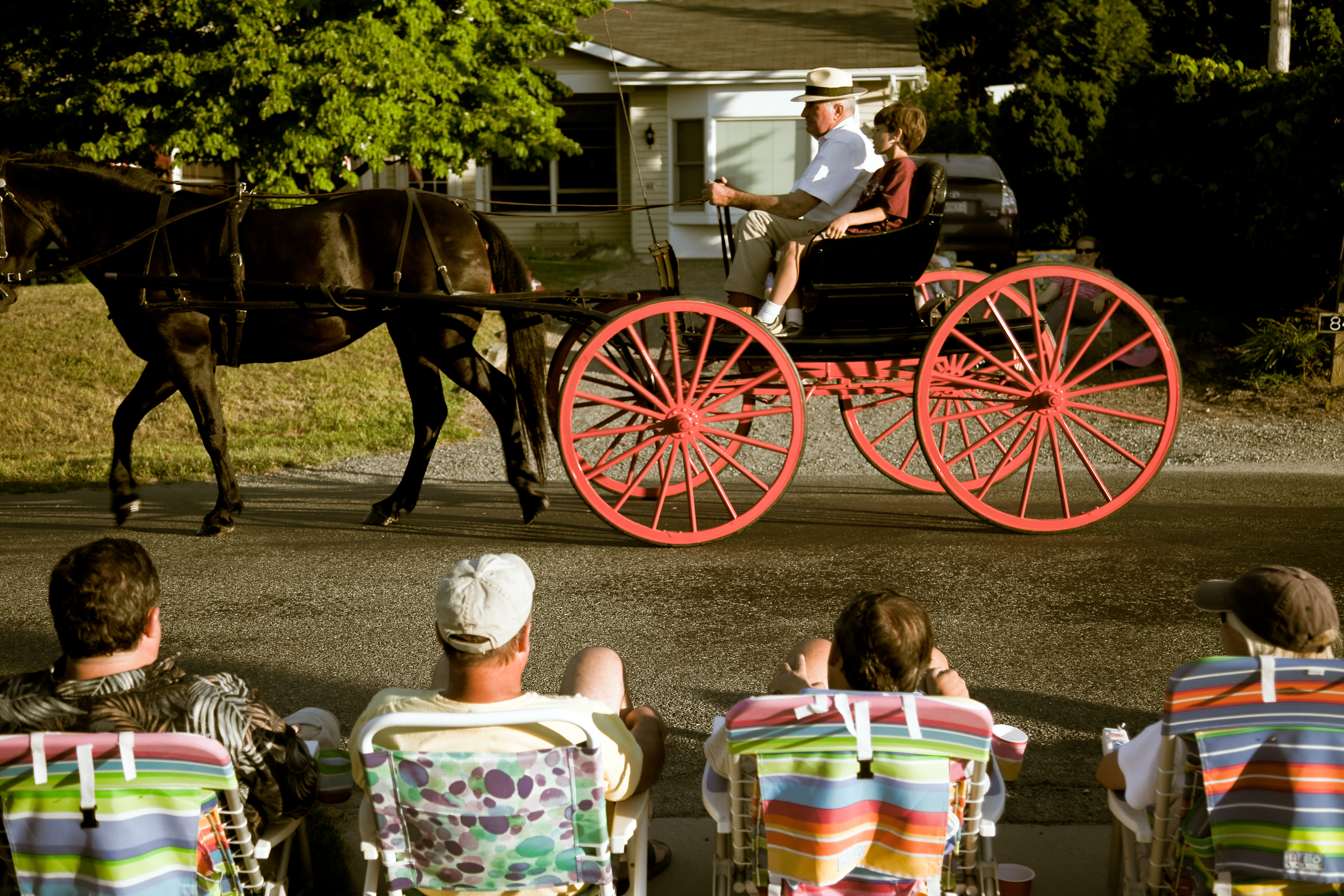
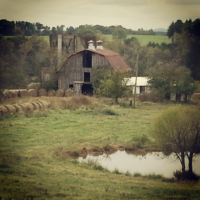
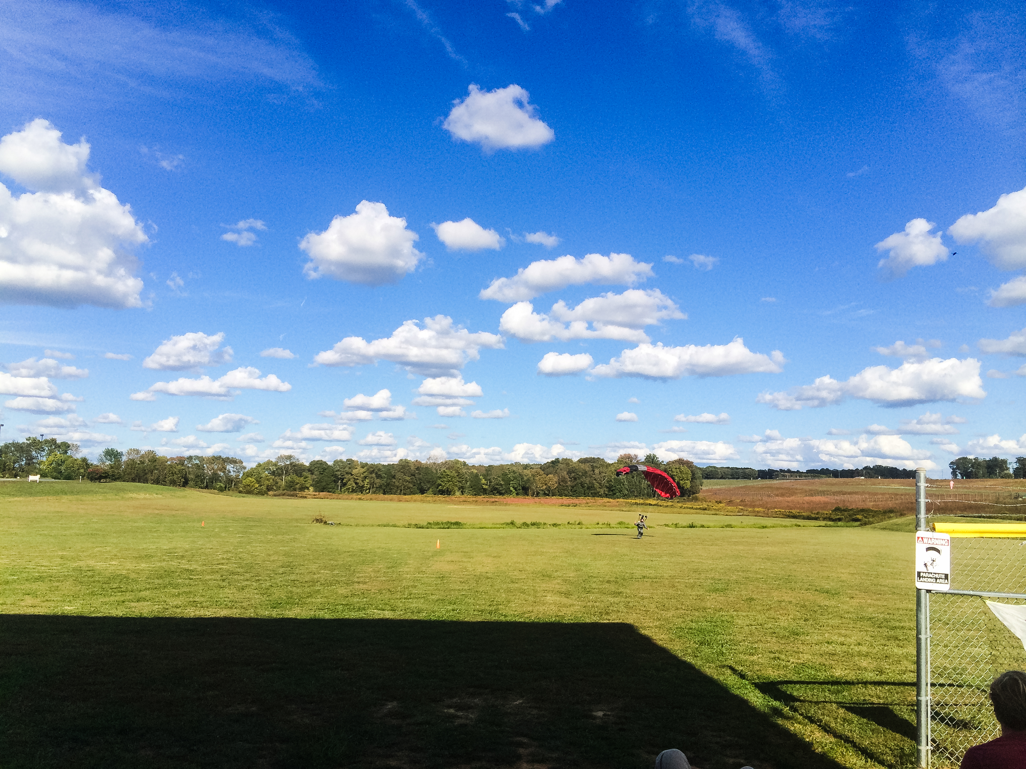
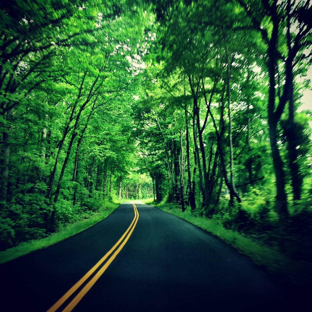
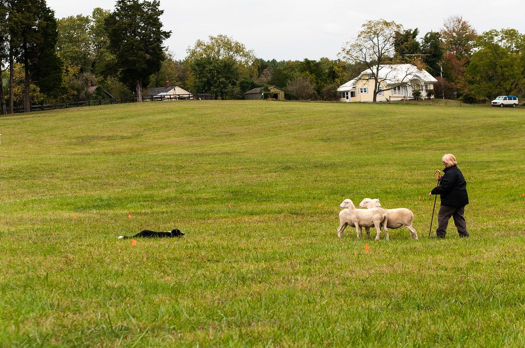
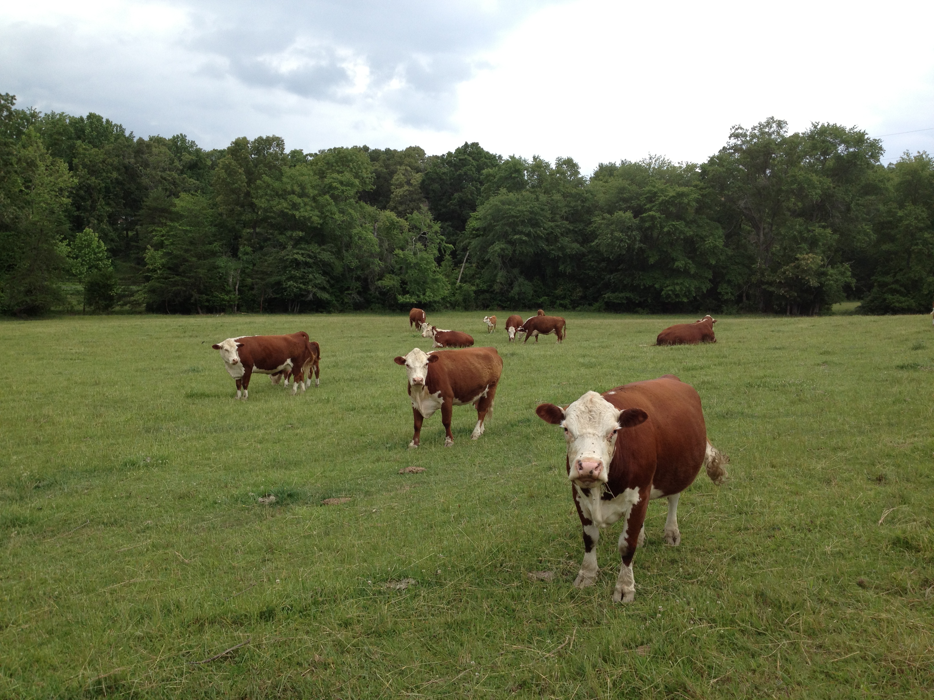
Related Photos:

an other view lahore fort lahore.
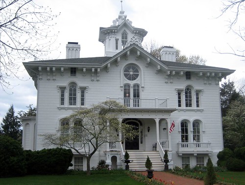
Mayhurst Inn, Orange (Orange County), VA

Former Safeway Interior 1 - Orange, VA

Former Safeway Interior 2 - Orange, VA
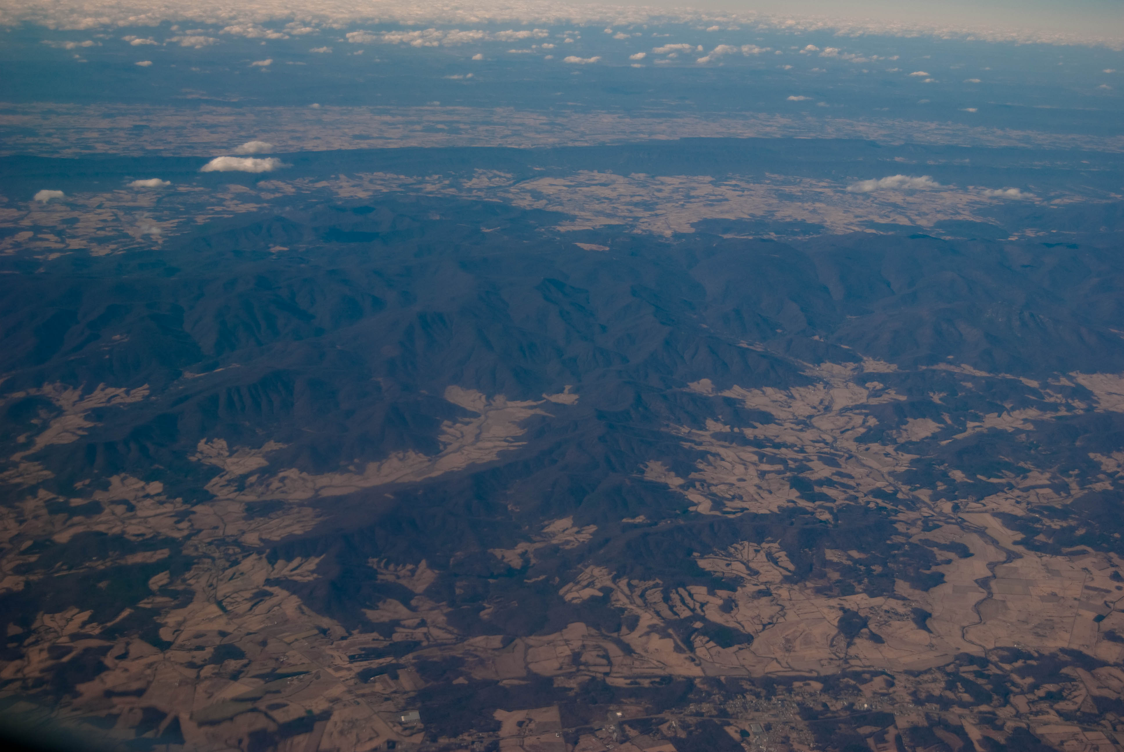
View out the airplane window
Virginia: Gordonsville
side view.

jake showed me how to do this!
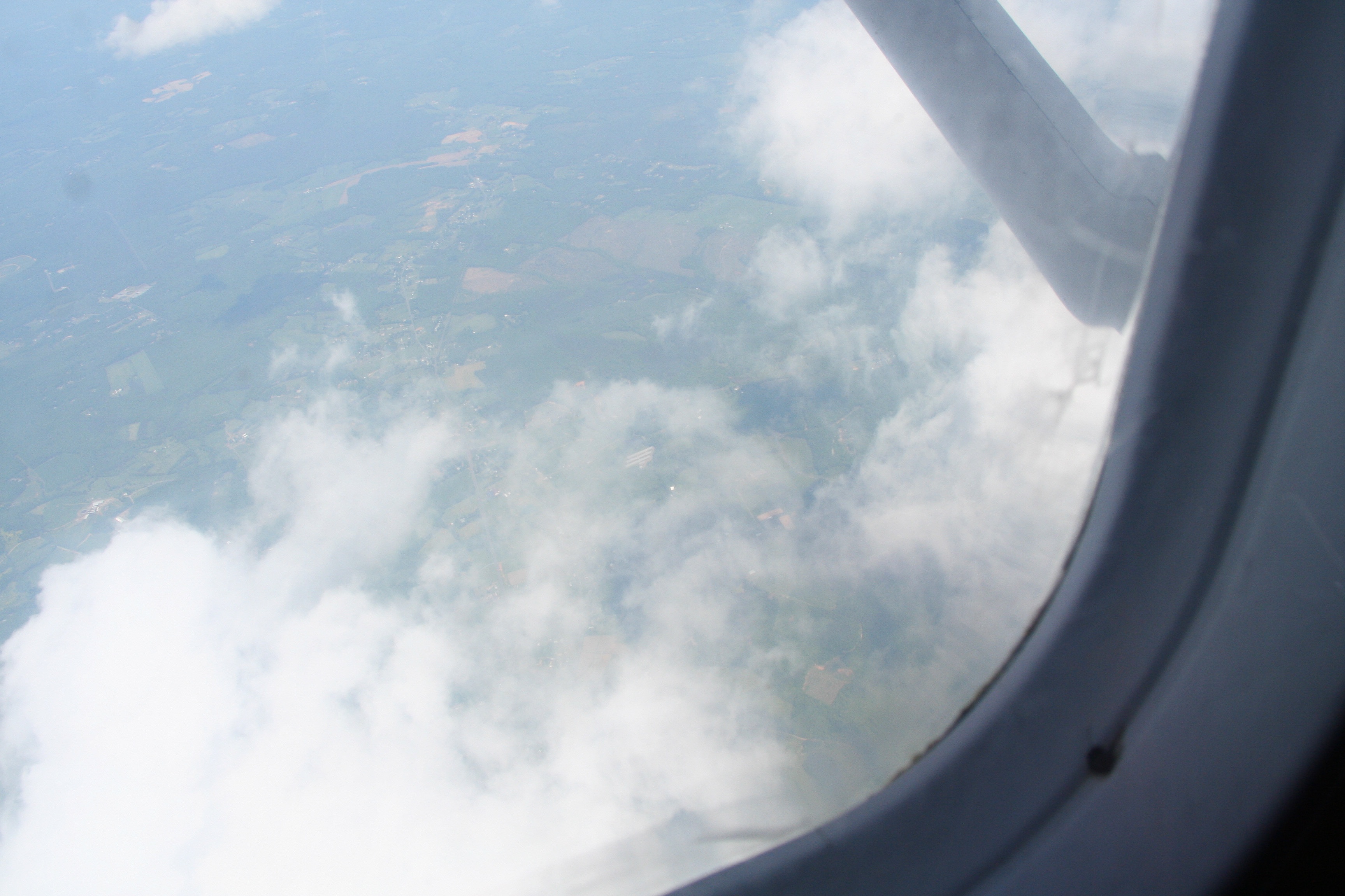
View out the airplane window

the bottom of the can
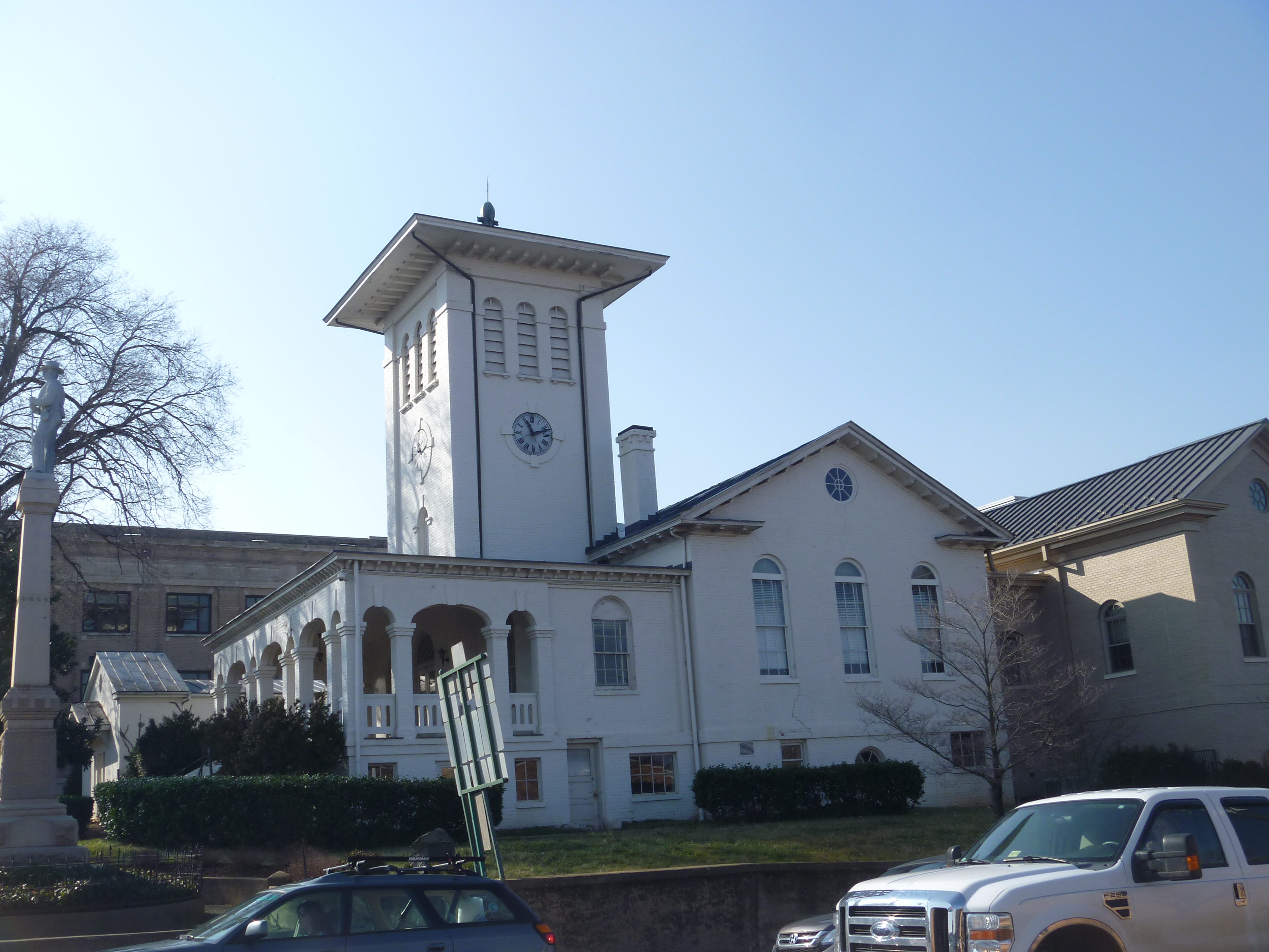
Old Orange County Courthouse,Eastern View, Orange VA
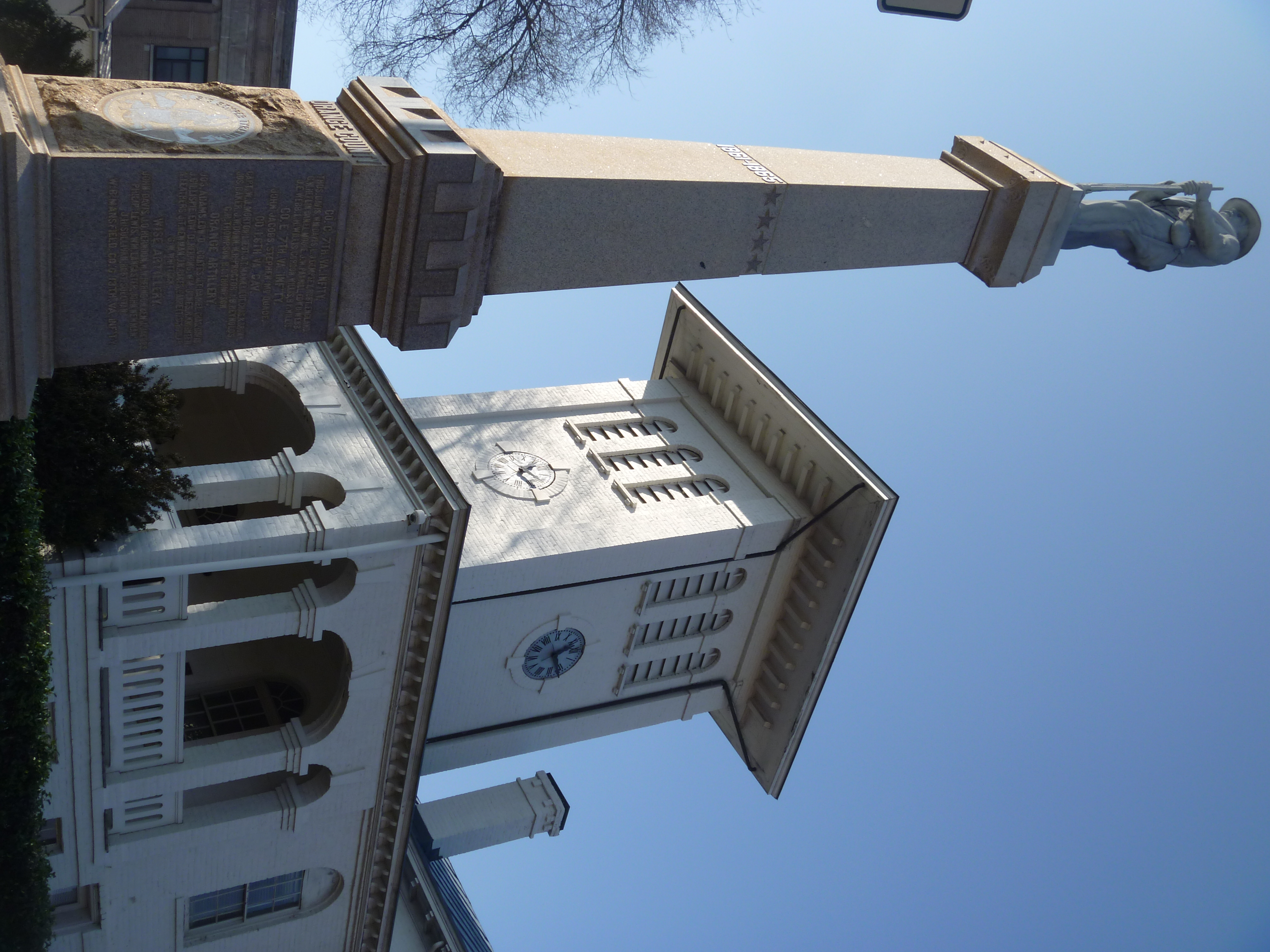
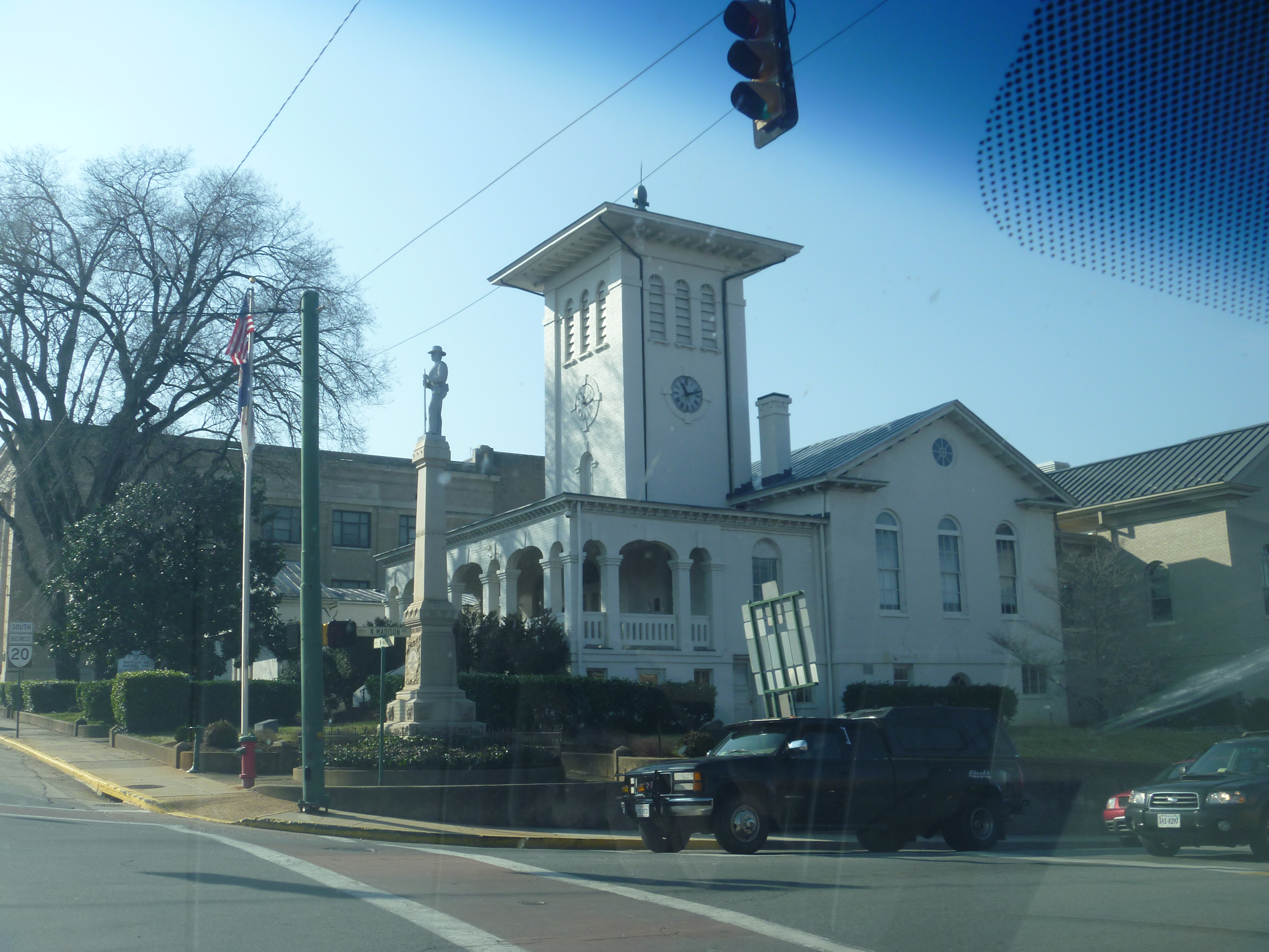
Eastern View Of The Old Orange County Courthouse And Confederate Memorial
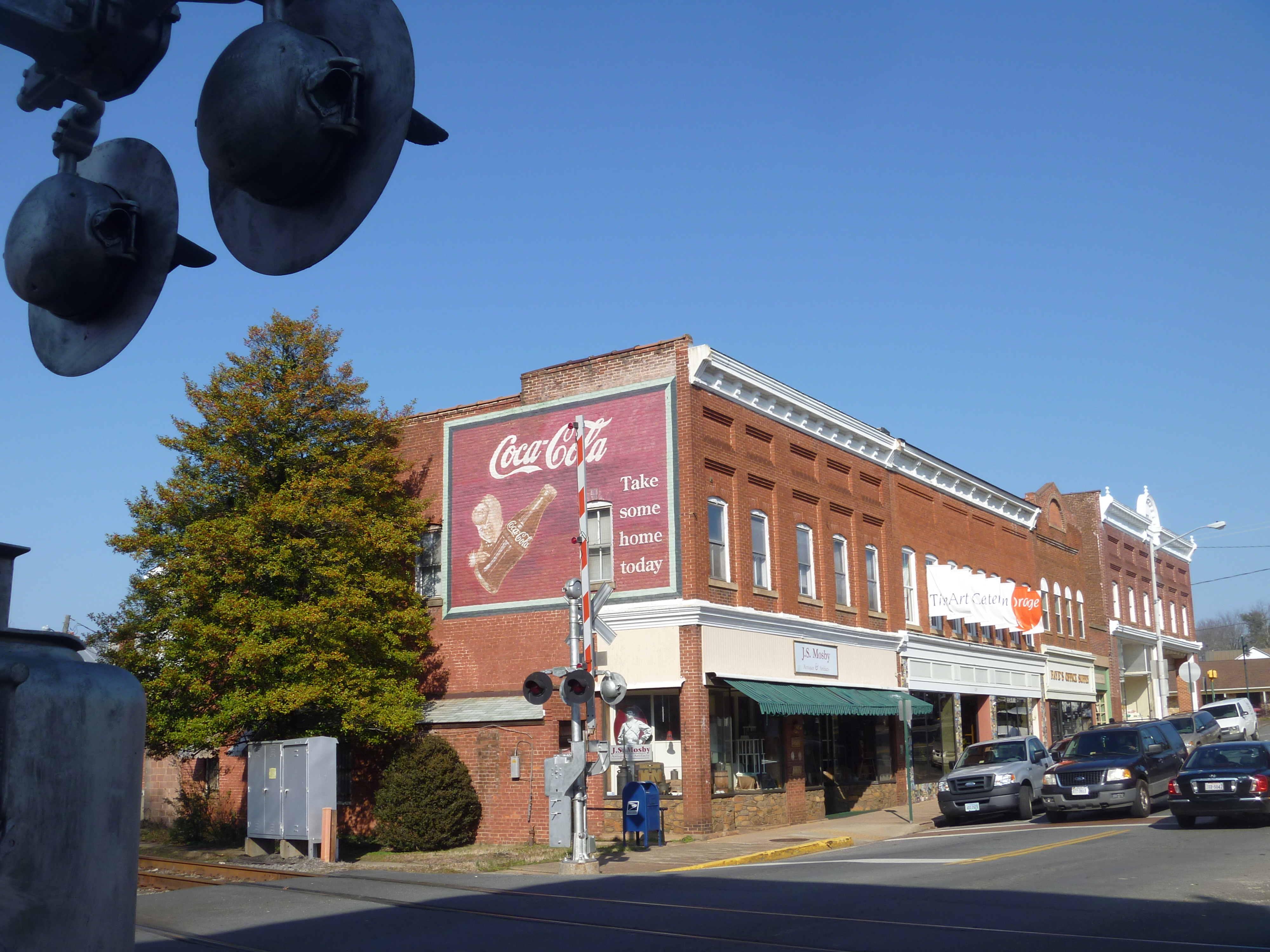
Eastern View Of Main Street In Orange VA
back view, cannon ae-1.

side view cannon ae-1.
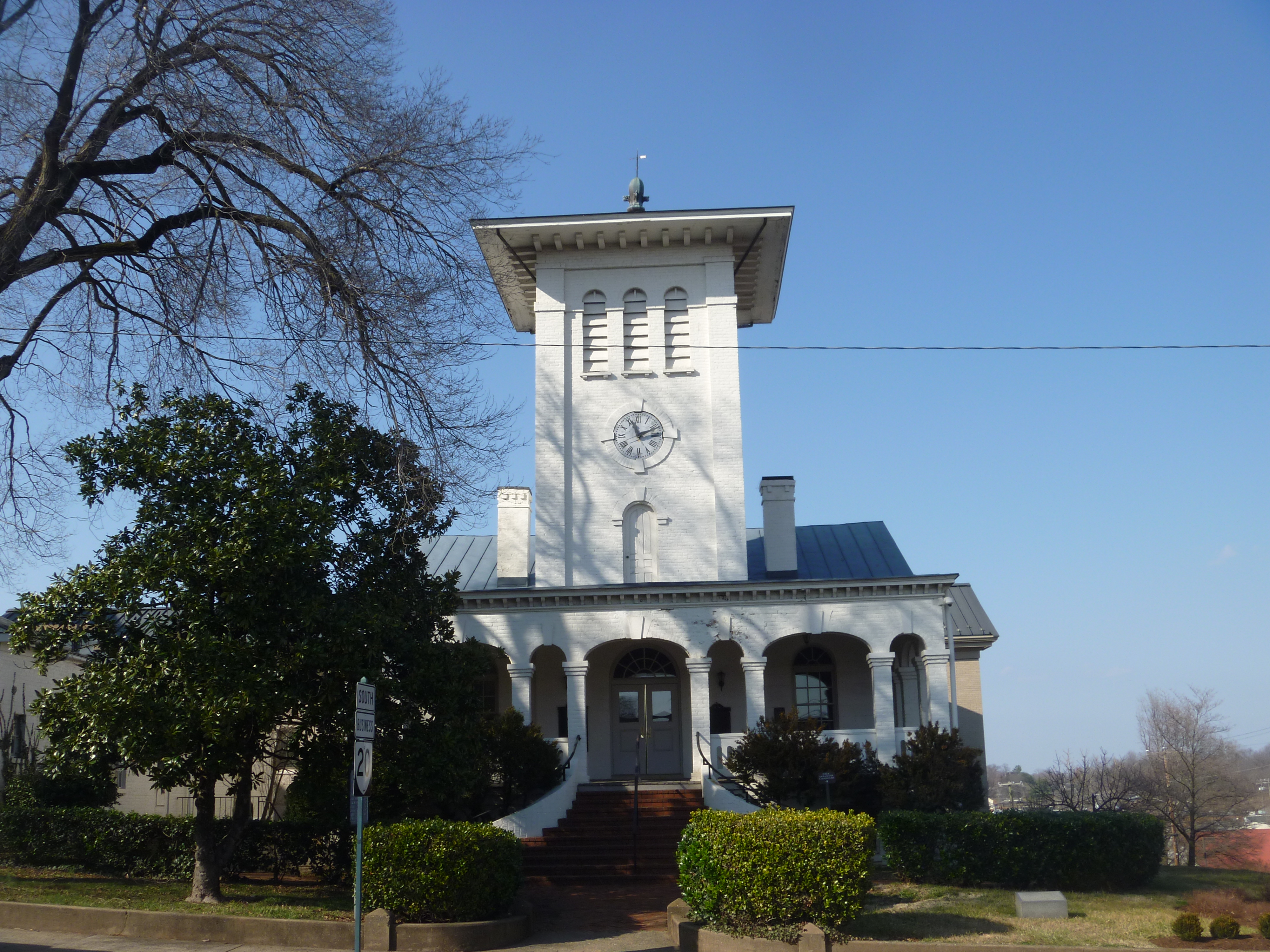
Front View Of The Old Orange County Courthouse, Orange VA
Parting View Of The Old Orange County Courthouse, Orange VA
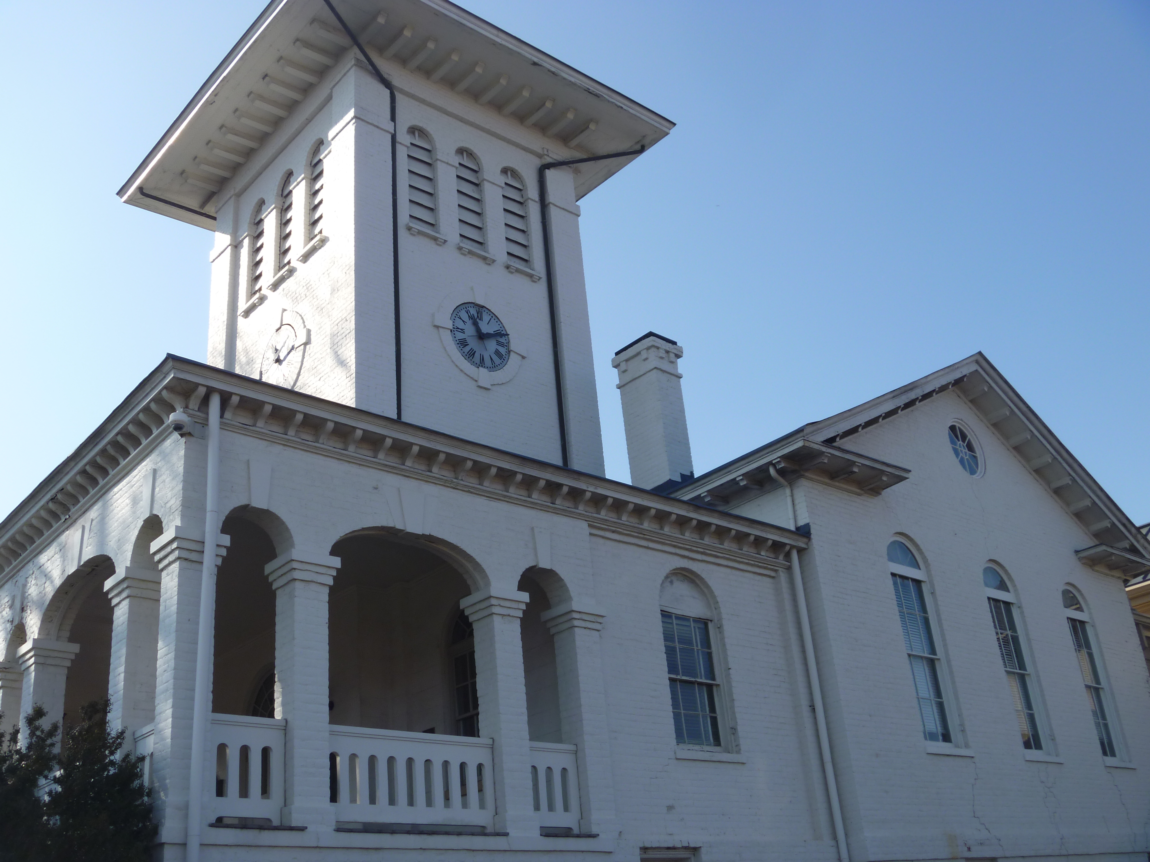
Eastern View, Old Orange County Courthouse

Mitchells Grocery
Viewing Americana

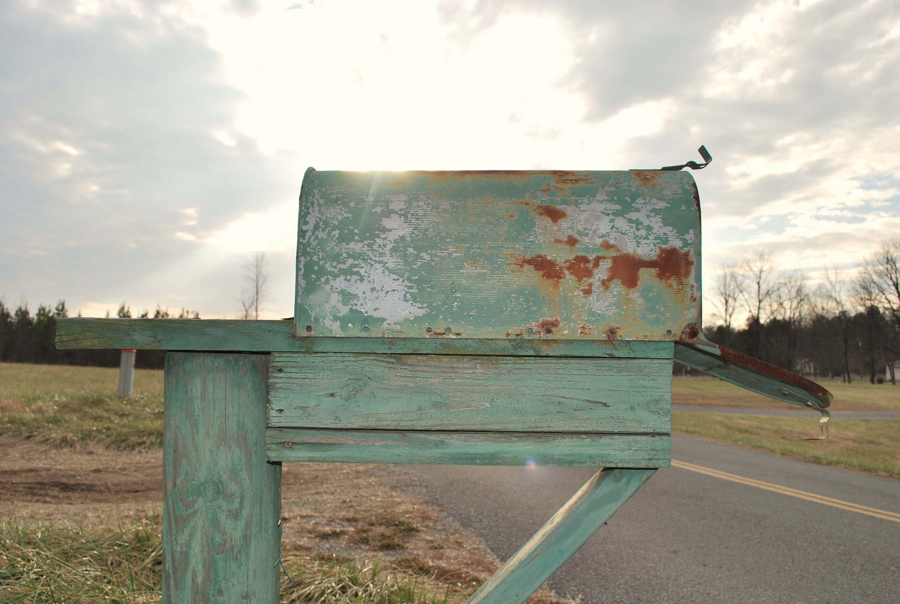
Sunset mailbox [Explored]
Gloomy country days
IMG_0085.jpg
Heading back to the land of high speed Internet!

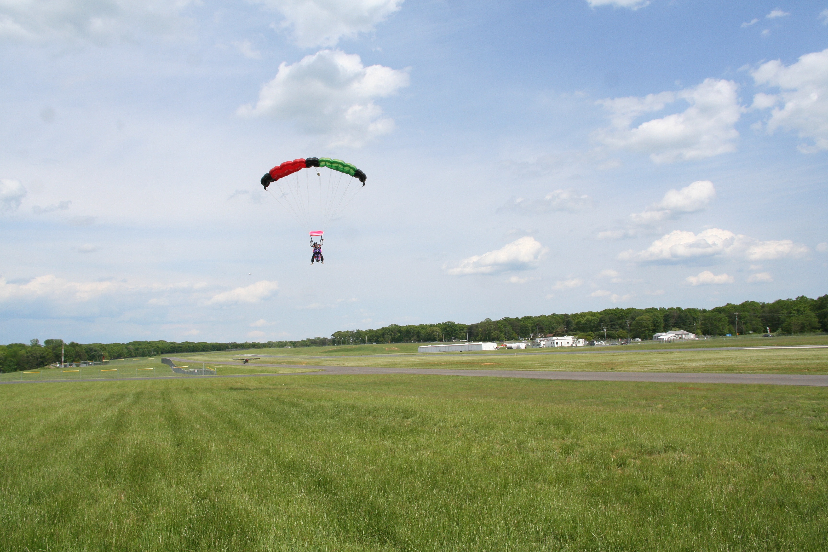
Green, Red, White, and Blue
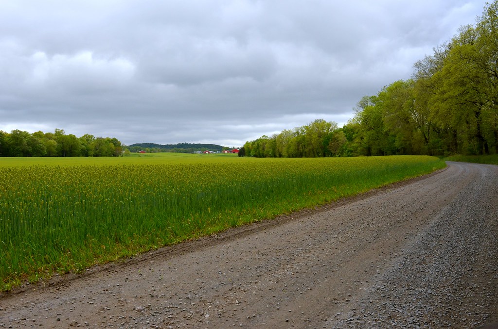
Floodplain Soy Field
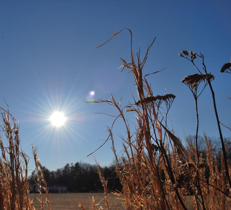
shining sun.
Hoops and Linda

_IGP7753.jpg

Murky Day
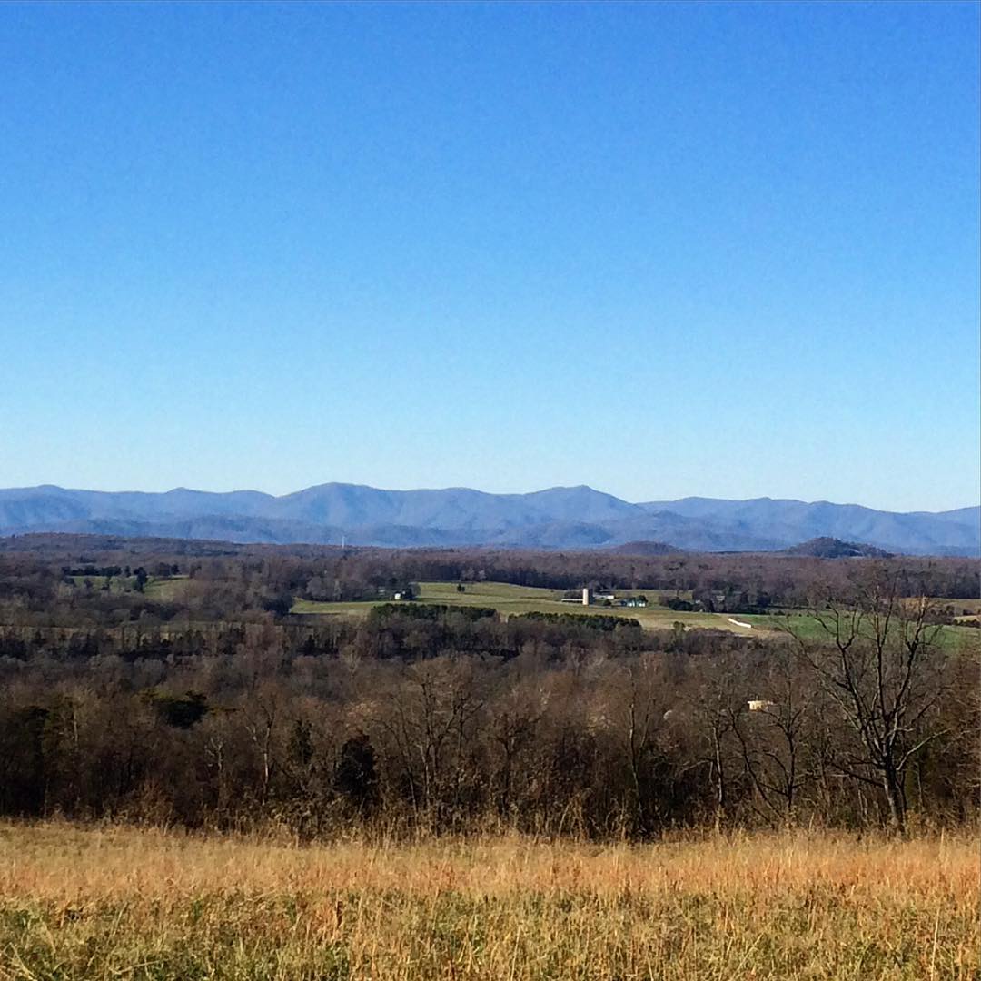
Blue Ridge Mountains.
_IGP7762.jpg
@spectacleandmirth and a facade ghost town. There is a ruined house behind this facade. #ruinporn #weird #landscape #fake #roadside #piedmont

Hills of Virginia
Blue Ridge Mountains
Reynolds and Lauri
_IGP7755.jpg

Orange Co Jan 12 08 181
Welcome to Orange County, Virginia

Nosy Cat

Montpelier Orange Virginia
Topographic Map of Orange County, VA, USA
Find elevation by address:

Places in Orange County, VA, USA:
Places near Orange County, VA, USA:
Constitution Hwy, Unionville, VA, USA
11201 Tower Rd
7551 Moormont Rd
3, VA, USA
Thornhill Rd, Orange, VA, USA
2, VA, USA
Old Office Road
Old Office Road
Old Office Road
4, VA, USA
29482 Hicks Rd
Locust Grove
Post Oak Rd, Spotsylvania Courthouse, VA, USA
Post Oak Rd, Spotsylvania Courthouse, VA, USA
W Catharpin Rd, Spotsylvania Courthouse, VA, USA
Orange Plank Rd, Locust Grove, VA, USA
9641 Nottoway Ln
11205 Preswick Ln
11300 Longstreet Dr
W Catharpin Rd, Spotsylvania Courthouse, VA, USA
Recent Searches:
- Elevation of Corso Fratelli Cairoli, 35, Macerata MC, Italy
- Elevation of Tallevast Rd, Sarasota, FL, USA
- Elevation of 4th St E, Sonoma, CA, USA
- Elevation of Black Hollow Rd, Pennsdale, PA, USA
- Elevation of Oakland Ave, Williamsport, PA, USA
- Elevation of Pedrógão Grande, Portugal
- Elevation of Klee Dr, Martinsburg, WV, USA
- Elevation of Via Roma, Pieranica CR, Italy
- Elevation of Tavkvetili Mountain, Georgia
- Elevation of Hartfords Bluff Cir, Mt Pleasant, SC, USA