Elevation of Moormont Rd, Rapidan, VA, USA
Location: United States > Virginia > Culpeper County > Cedar Mountain > Rapidan >
Longitude: -78.009303
Latitude: 38.2996125
Elevation: 183m / 600feet
Barometric Pressure: 99KPa
Elevation Map:
Satellite Map:
Related Photos:

same building, different view

an other view lahore fort lahore.
same building, different view
Mayhurst Inn, Orange (Orange County), VA
The Rapidan River in Virginia
Virginia: Gordonsville: A view from Amtrak's The Cardinal

the bottom of the can
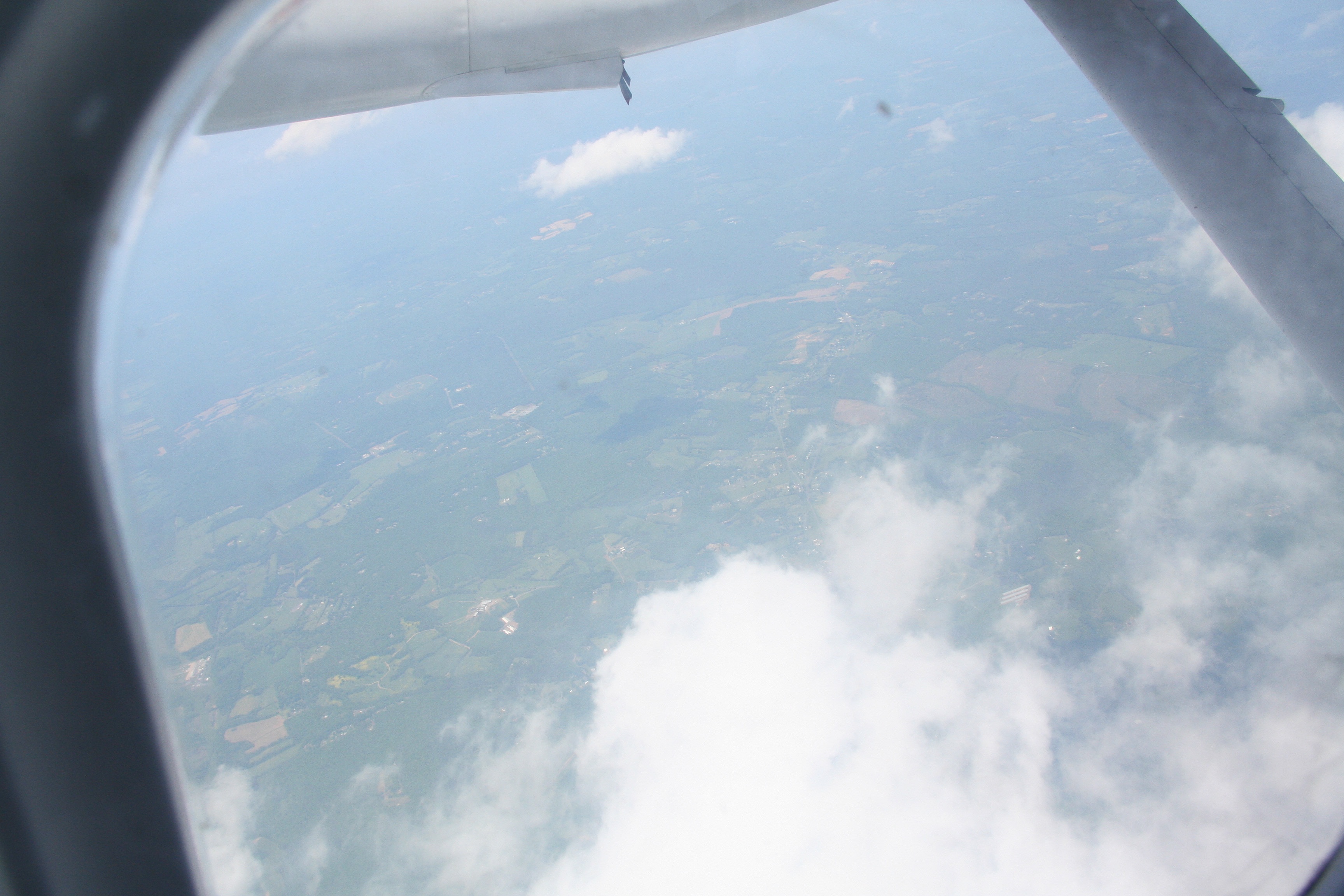
View out the airplane window
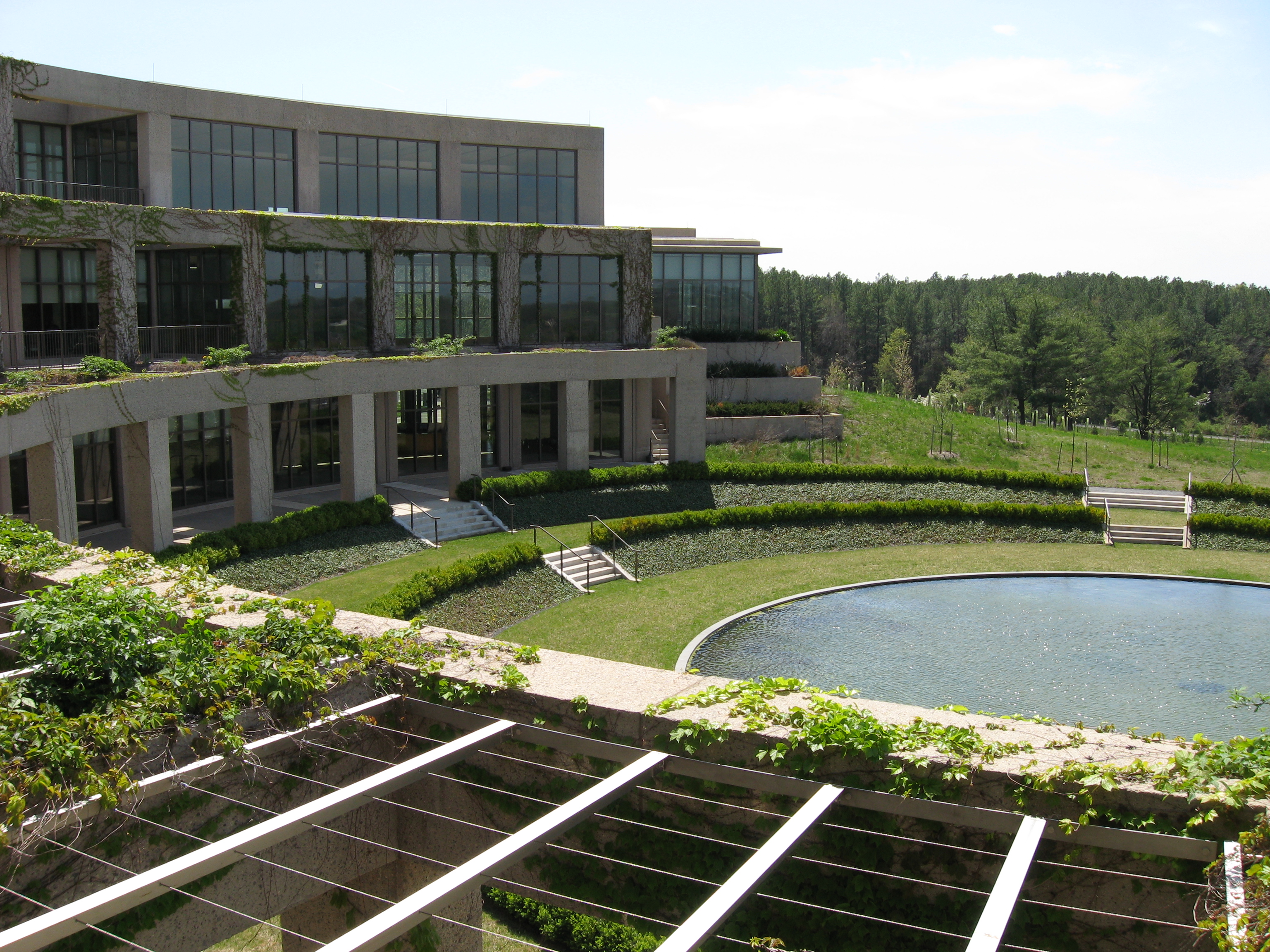
View of the Reflecting Pool
View out the airplane window
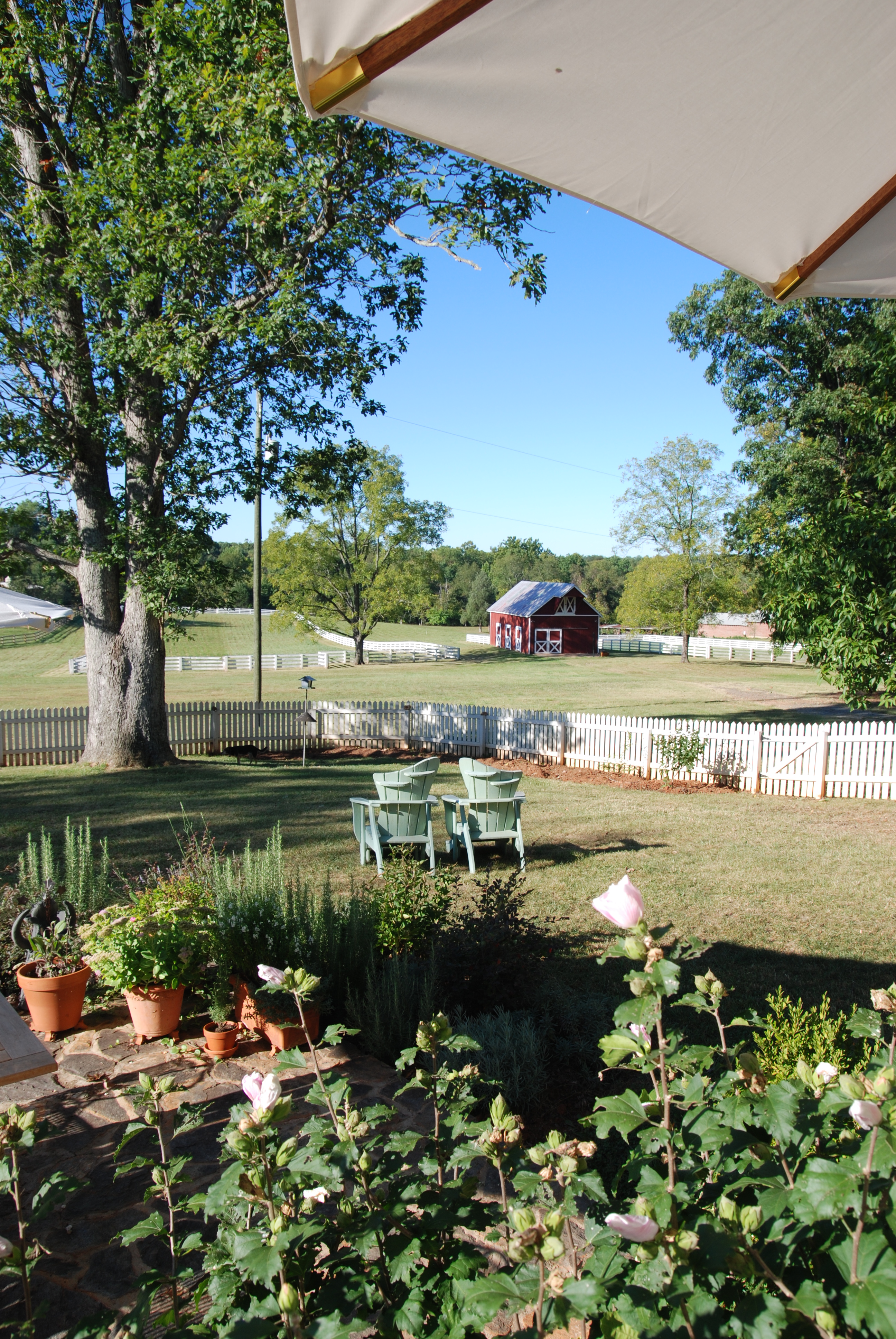
Our back view
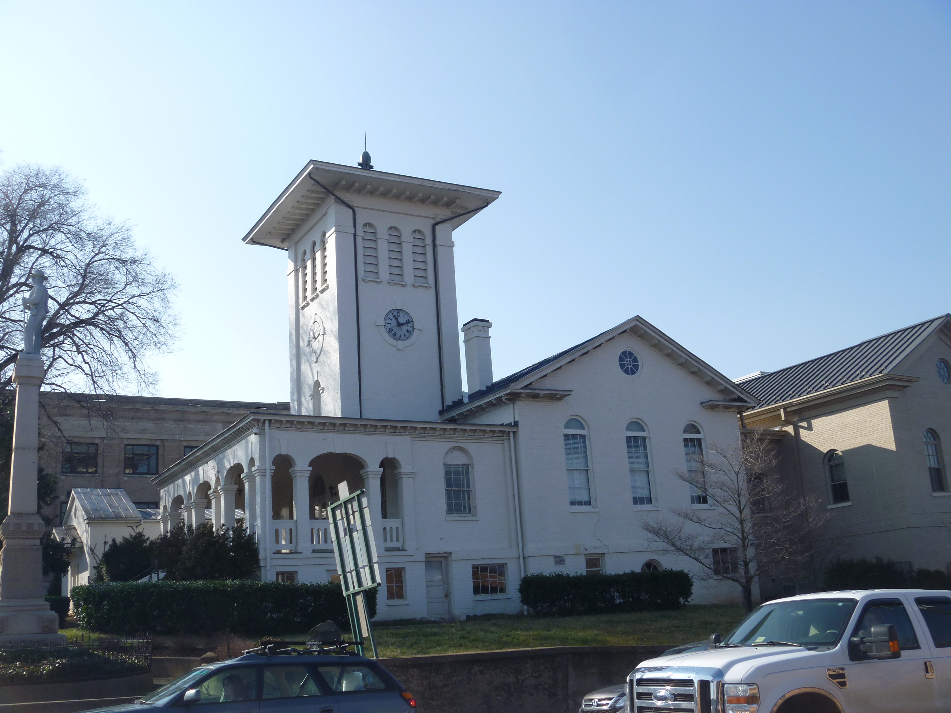
Old Orange County Courthouse,Eastern View, Orange VA
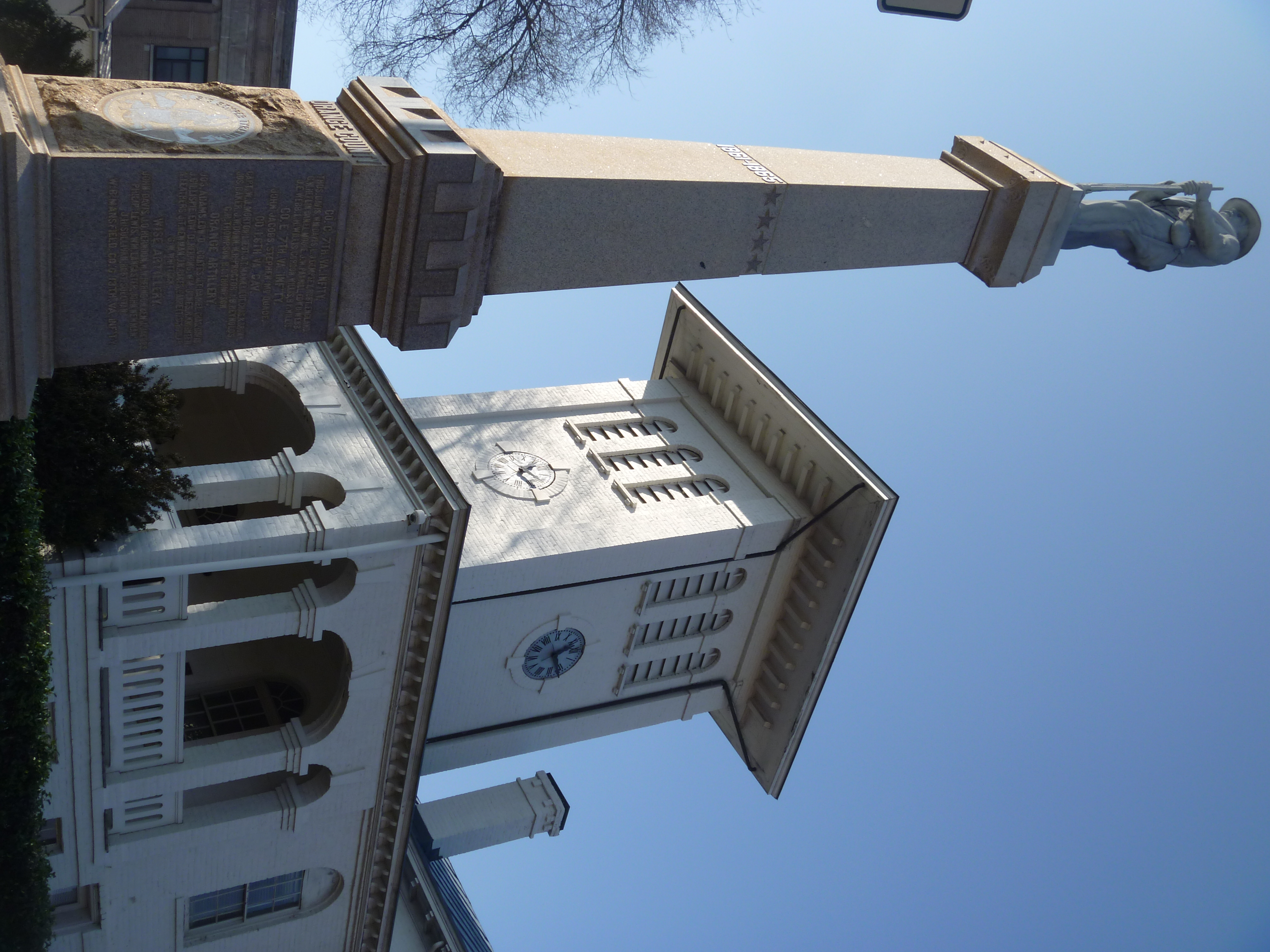
Eastern View Of The Old Orange County Courthouse And Confederate Memorial
Summer Day
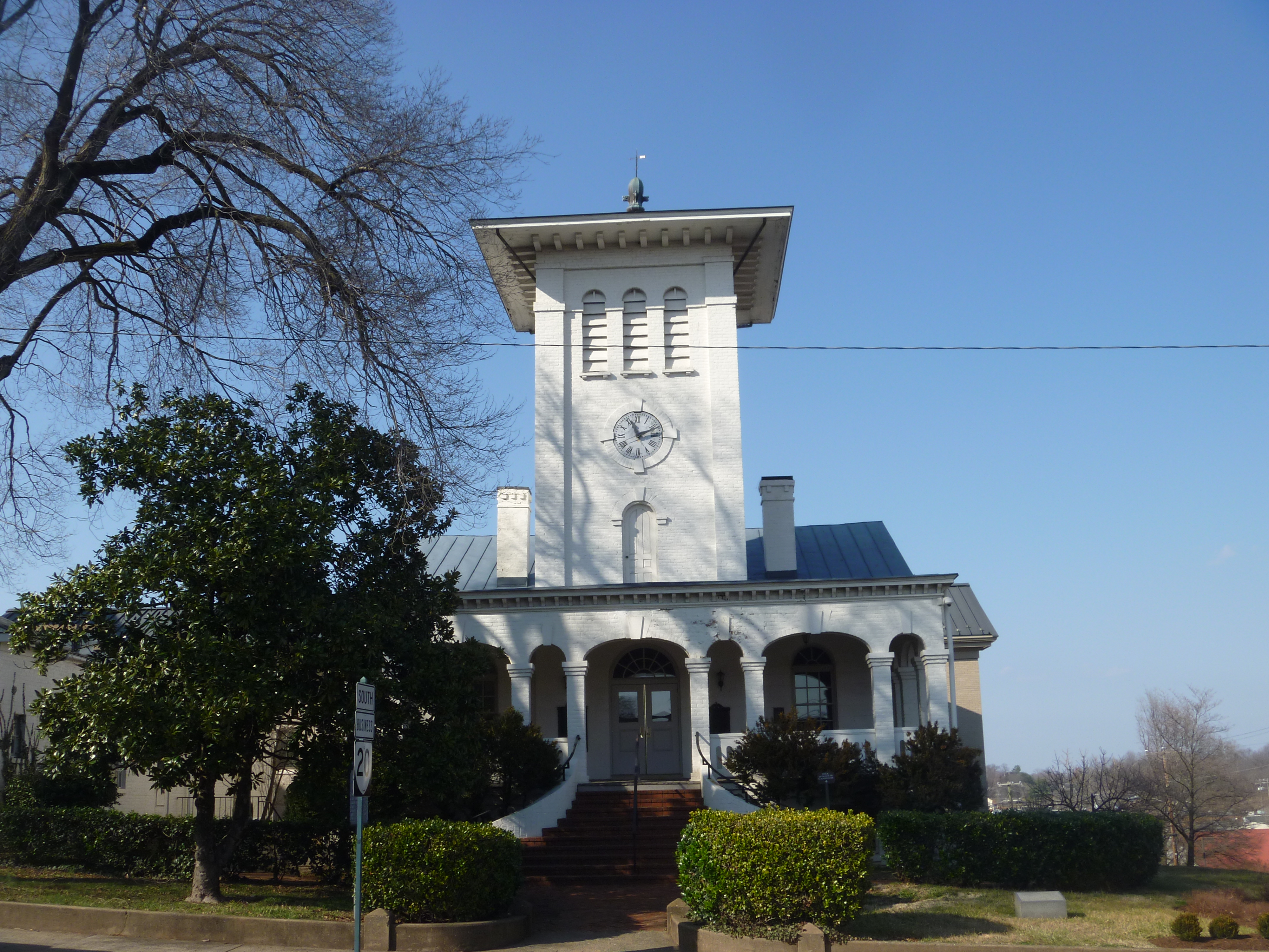
Front View Of The Old Orange County Courthouse, Orange VA
Eastern View, Old Orange County Courthouse
Orange VA: The Buckingham Branch Railroad
View from the Inn at Meander Plantation
View from the dining room
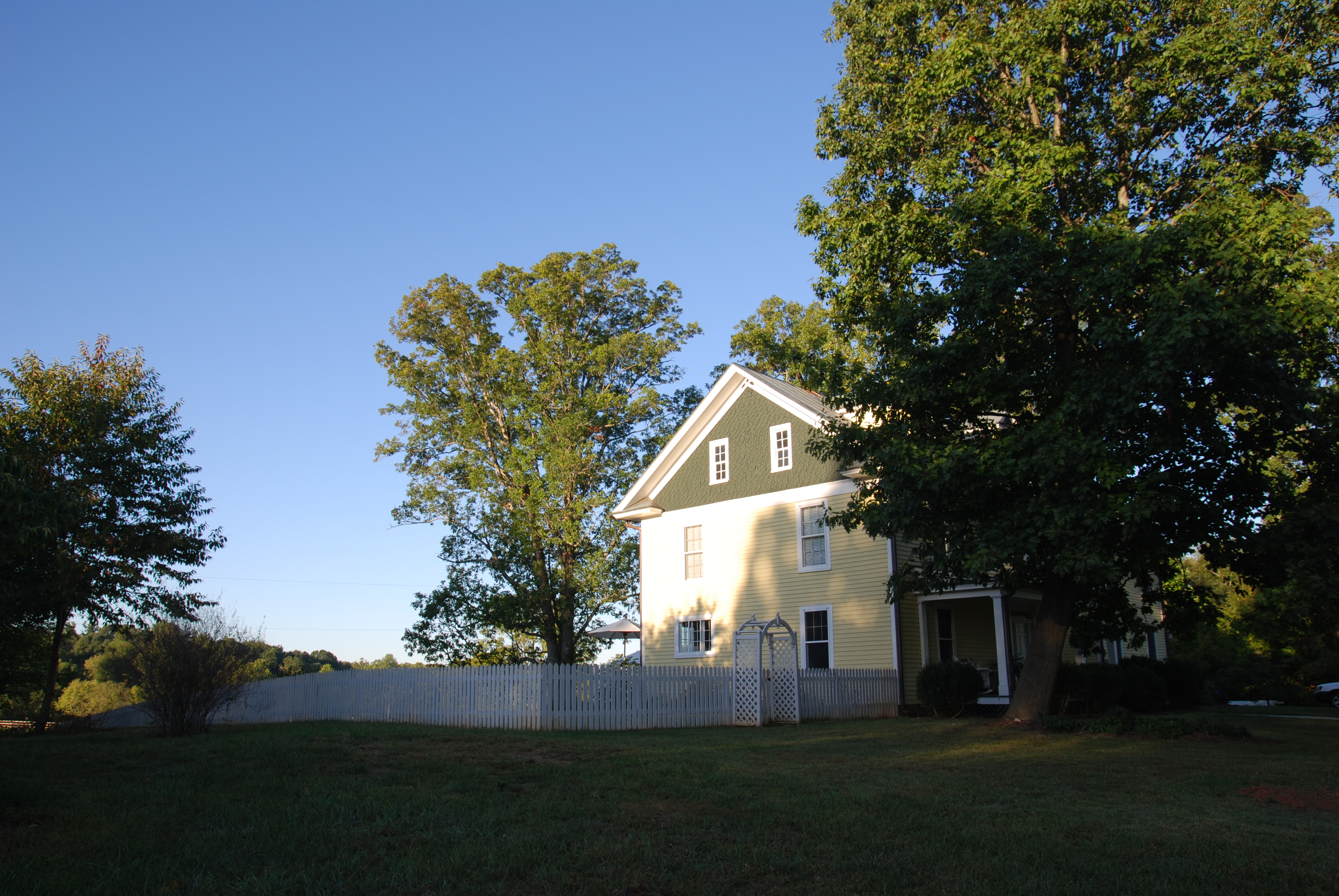
East side view
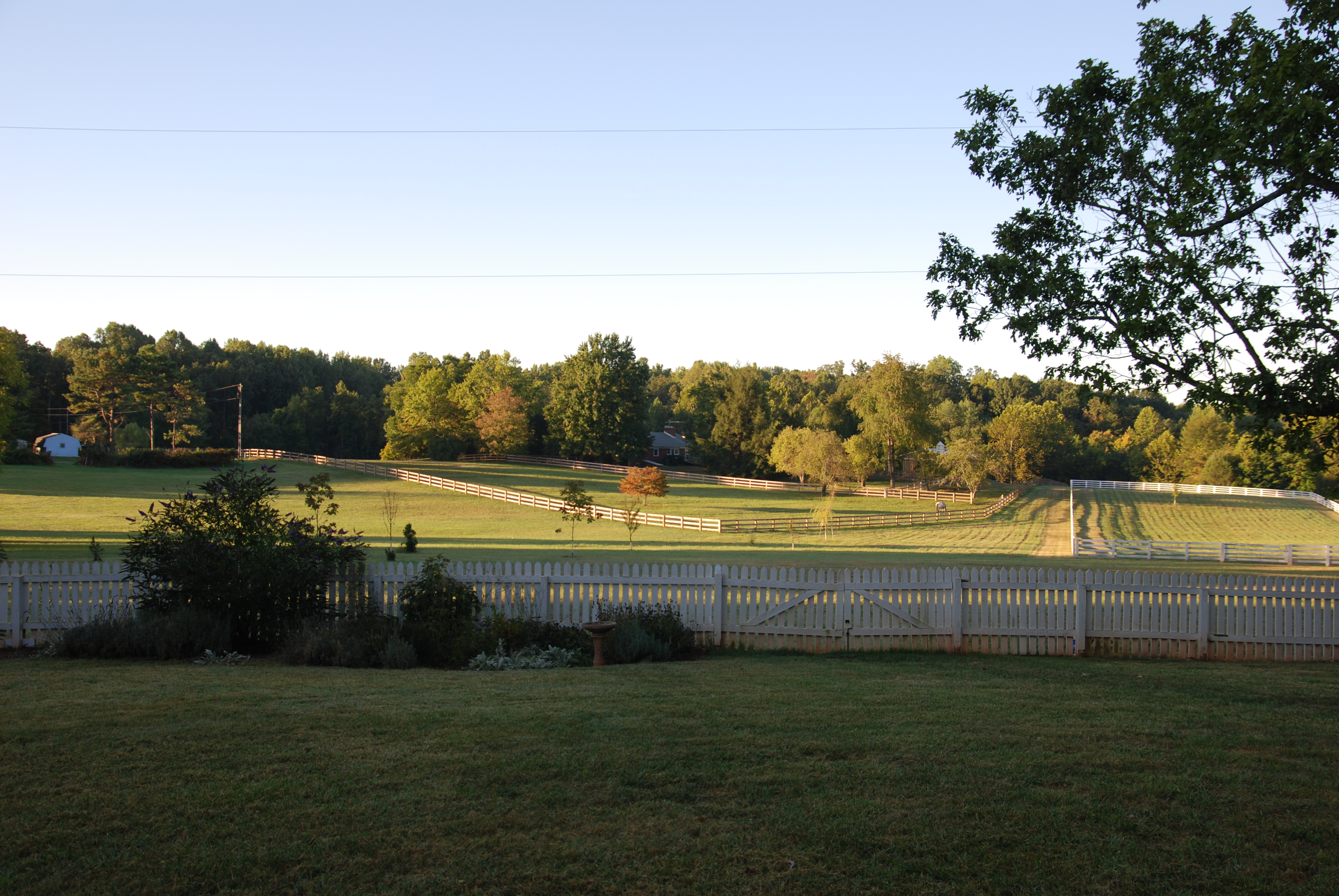
Backyard view

Sunset mailbox [Explored]
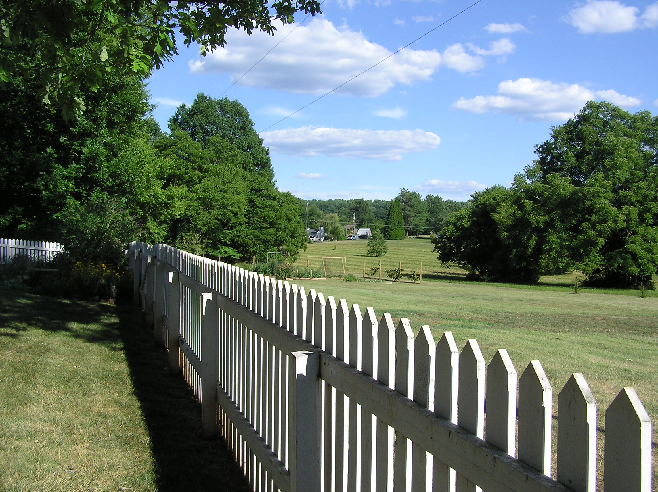
Summer Solstice 2012 - Fence line
Cloud Over Cedar Mountain
historic Mill on the Rapidan River, Virginia
Gloomy country days
Picture Perfect Day
The Road Home
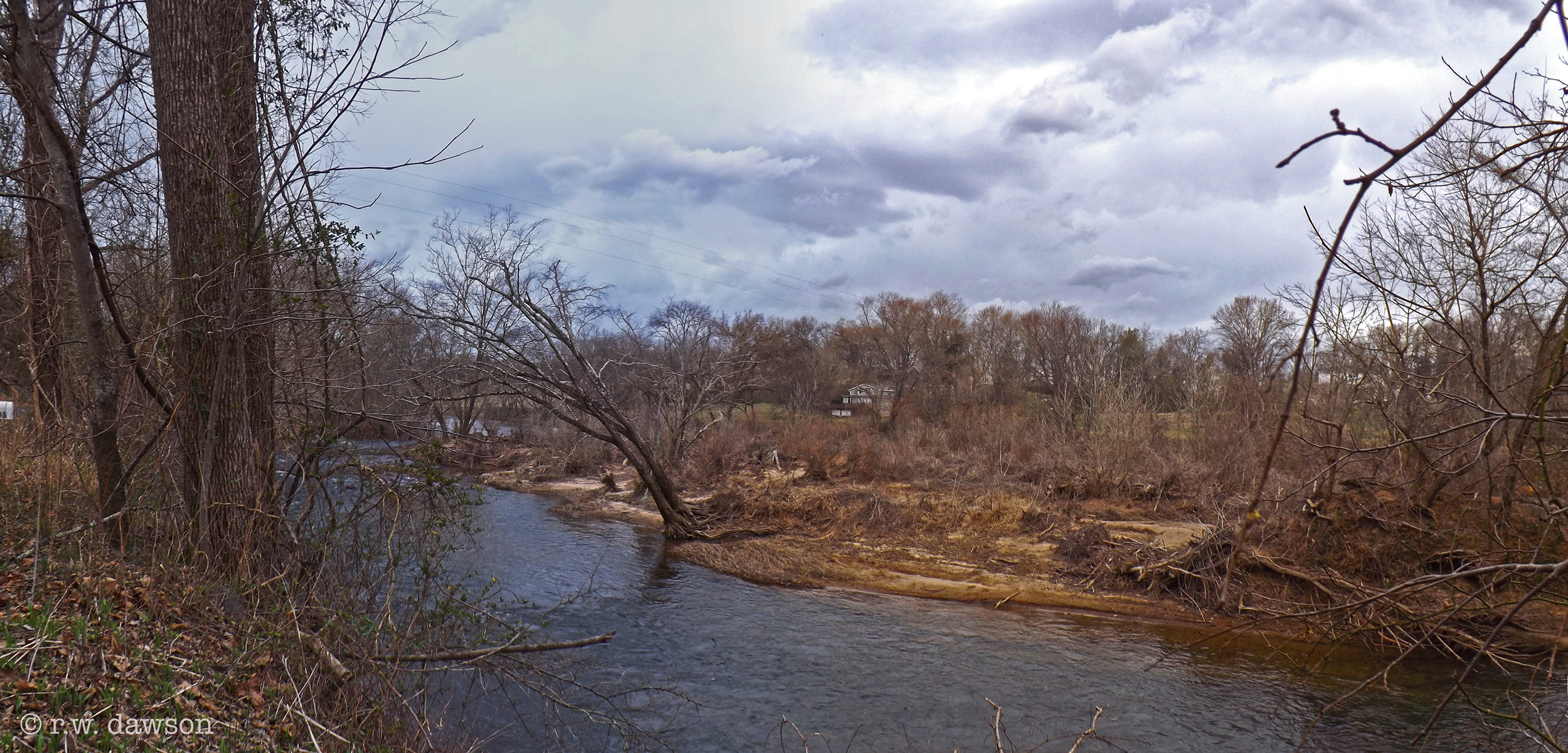
Rapidan River
IMG_0085.jpg

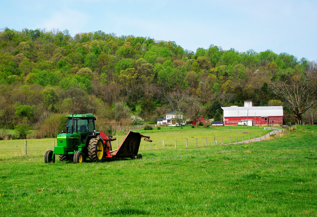
Orange County, Va.

Orange County, Va.
Springtime on Cedar Mountain

_IGP7753.jpg

Green, Red, White, and Blue

Paddock Line
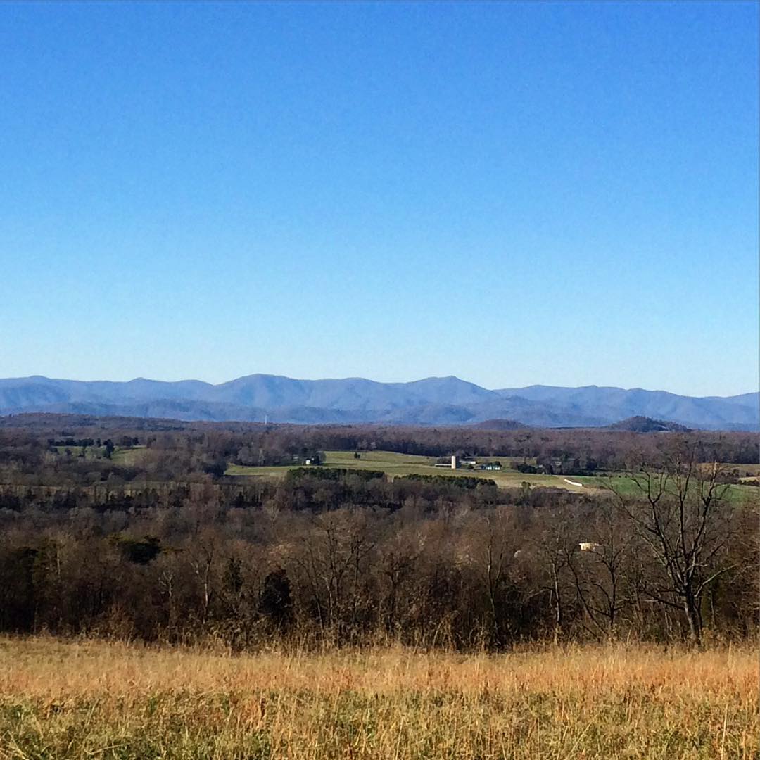
Blue Ridge Mountains.
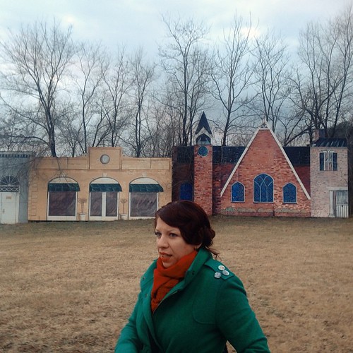
@spectacleandmirth and a facade ghost town. There is a ruined house behind this facade. #ruinporn #weird #landscape #fake #roadside #piedmont

Orange County, Va.

Hills of Virginia
Topographic Map of Moormont Rd, Rapidan, VA, USA
Find elevation by address:

Places near Moormont Rd, Rapidan, VA, USA:
3, VA, USA
Constitution Hwy, Unionville, VA, USA
Orange County
11201 Tower Rd
Old Office Road
Old Office Road
Old Office Road
2, VA, USA
4, VA, USA
Thornhill Rd, Orange, VA, USA
29482 Hicks Rd
Locust Grove
Post Oak Rd, Spotsylvania Courthouse, VA, USA
Orange Plank Rd, Locust Grove, VA, USA
Post Oak Rd, Spotsylvania Courthouse, VA, USA
W Catharpin Rd, Spotsylvania Courthouse, VA, USA
9641 Nottoway Ln
11205 Preswick Ln
11300 Longstreet Dr
11607 Longstreet Dr
Recent Searches:
- Elevation of Corso Fratelli Cairoli, 35, Macerata MC, Italy
- Elevation of Tallevast Rd, Sarasota, FL, USA
- Elevation of 4th St E, Sonoma, CA, USA
- Elevation of Black Hollow Rd, Pennsdale, PA, USA
- Elevation of Oakland Ave, Williamsport, PA, USA
- Elevation of Pedrógão Grande, Portugal
- Elevation of Klee Dr, Martinsburg, WV, USA
- Elevation of Via Roma, Pieranica CR, Italy
- Elevation of Tavkvetili Mountain, Georgia
- Elevation of Hartfords Bluff Cir, Mt Pleasant, SC, USA