Elevation of Onion Peak, Clearwater County, AB T0M, Canada
Location: Canada > Alberta > Division No. 9 >
Longitude: -116.035
Latitude: 52.1383333
Elevation: 2447m / 8028feet
Barometric Pressure: 75KPa
Elevation Map:
Satellite Map:
Related Photos:
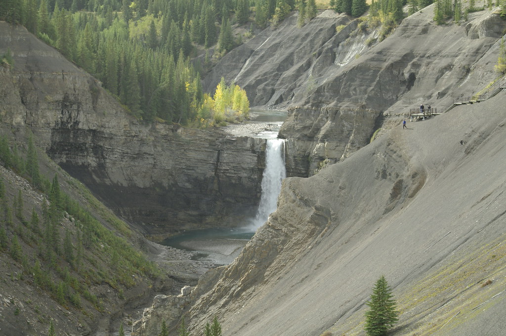
Ram Falls, Alberta Summer 2011
Topographic Map of Onion Peak, Clearwater County, AB T0M, Canada
Find elevation by address:

Places near Onion Peak, Clearwater County, AB T0M, Canada:
Sufi Peak
Hummingbird Road
Kista Se4
Kista Peak
Mount Bramwell
William Booth Se2
Mount Mumford
Mount William Booth
Stan Waters Peak
Rhine Peak
Nordegg
2 Stuart St, Nordegg, AB T0M 2H0, Canada
Mount Michener
Clearwater County
Abraham Lake
Mount Ernest Ross
Elliot Peak
Columbia Icefields Tour
Cline River
Abraham Mountain
Recent Searches:
- Elevation of Corso Fratelli Cairoli, 35, Macerata MC, Italy
- Elevation of Tallevast Rd, Sarasota, FL, USA
- Elevation of 4th St E, Sonoma, CA, USA
- Elevation of Black Hollow Rd, Pennsdale, PA, USA
- Elevation of Oakland Ave, Williamsport, PA, USA
- Elevation of Pedrógão Grande, Portugal
- Elevation of Klee Dr, Martinsburg, WV, USA
- Elevation of Via Roma, Pieranica CR, Italy
- Elevation of Tavkvetili Mountain, Georgia
- Elevation of Hartfords Bluff Cir, Mt Pleasant, SC, USA