Elevation map of Clearwater County, AB, Canada
Location: Canada > Alberta > Division No. 9 >
Longitude: -115.66052
Latitude: 52.1191648
Elevation: 1693m / 5554feet
Barometric Pressure: 83KPa
Elevation Map:
Satellite Map:
Related Photos:
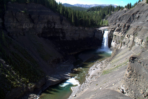
Ram Falls, Alberta Summer 2011
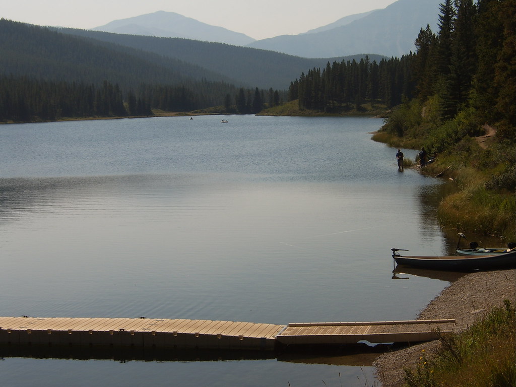
SV500484 - Peppers Lake, AB

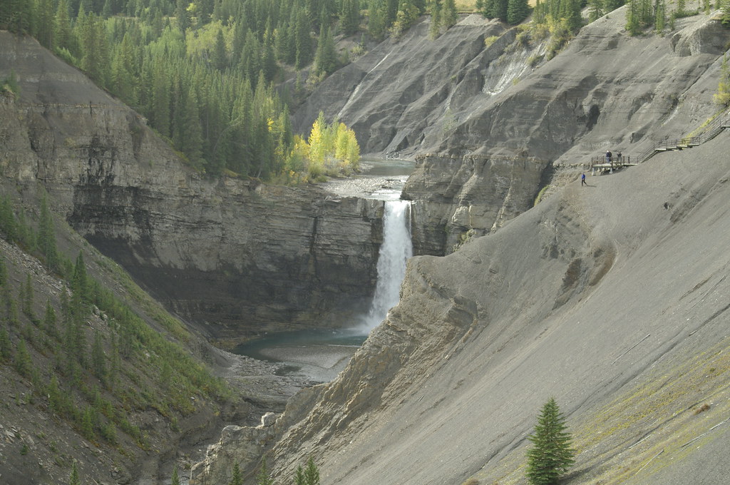
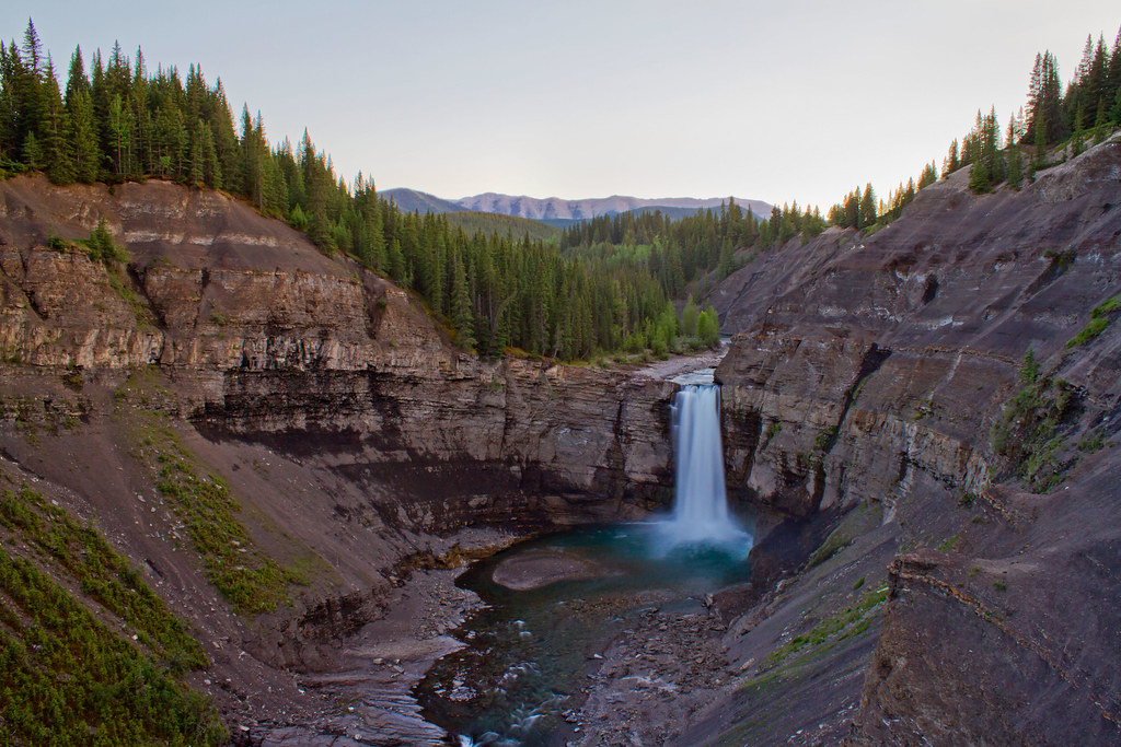
Ram river falls
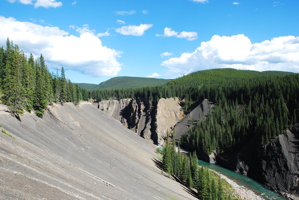
Ram river canyon

Thunder of the canyon

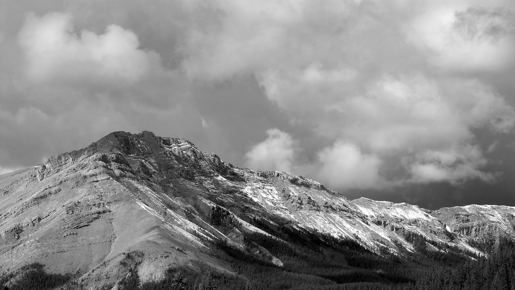
Mountain sheep

Ram falls
DSC_0008_edited-2
Ram Falls
Ram Falls, AB

Sheep at Ram River Falls
Topographic Map of Clearwater County, AB, Canada
Find elevation by address:

Places in Clearwater County, AB, Canada:
Places near Clearwater County, AB, Canada:
Division No. 9
Hummingbird Road
Onion Peak
Sufi Peak
Kista Se4
2 Stuart St, Nordegg, AB T0M 2H0, Canada
Nordegg
Kista Peak
Mount Bramwell
William Booth Se2
Mount Mumford
Mount William Booth
Stan Waters Peak
Rhine Peak
Mount Michener
Abraham Lake
Mount Ernest Ross
Elliot Peak
Abraham Mountain
Cline River
Recent Searches:
- Elevation of Corso Fratelli Cairoli, 35, Macerata MC, Italy
- Elevation of Tallevast Rd, Sarasota, FL, USA
- Elevation of 4th St E, Sonoma, CA, USA
- Elevation of Black Hollow Rd, Pennsdale, PA, USA
- Elevation of Oakland Ave, Williamsport, PA, USA
- Elevation of Pedrógão Grande, Portugal
- Elevation of Klee Dr, Martinsburg, WV, USA
- Elevation of Via Roma, Pieranica CR, Italy
- Elevation of Tavkvetili Mountain, Georgia
- Elevation of Hartfords Bluff Cir, Mt Pleasant, SC, USA