Elevation of Mount Bramwell, Clearwater County, AB T0M, Canada
Location: Canada > Alberta > Division No. 9 >
Longitude: -116.24333
Latitude: 52.0766666
Elevation: 2679m / 8789feet
Barometric Pressure: 73KPa
Elevation Map:
Satellite Map:
Related Photos:
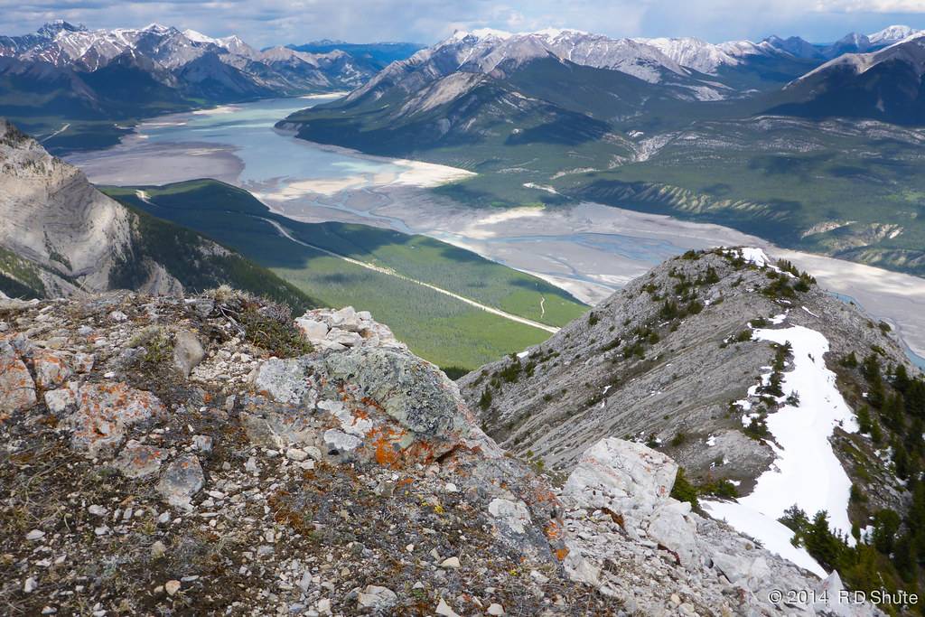
View from the Twins
Topographic Map of Mount Bramwell, Clearwater County, AB T0M, Canada
Find elevation by address:

Places near Mount Bramwell, Clearwater County, AB T0M, Canada:
William Booth Se2
Mount William Booth
Mount Mumford
Stan Waters Peak
Rhine Peak
Kista Se4
Kista Peak
Sufi Peak
Mount Michener
Mount Ernest Ross
Onion Peak
Abraham Lake
Elliot Peak
Sentinel Mountain
Columbia Icefields Tour
Cline River
Hummingbird Road
Abraham Mountain
Allstones Peak
Mount Stelfox
Recent Searches:
- Elevation of Corso Fratelli Cairoli, 35, Macerata MC, Italy
- Elevation of Tallevast Rd, Sarasota, FL, USA
- Elevation of 4th St E, Sonoma, CA, USA
- Elevation of Black Hollow Rd, Pennsdale, PA, USA
- Elevation of Oakland Ave, Williamsport, PA, USA
- Elevation of Pedrógão Grande, Portugal
- Elevation of Klee Dr, Martinsburg, WV, USA
- Elevation of Via Roma, Pieranica CR, Italy
- Elevation of Tavkvetili Mountain, Georgia
- Elevation of Hartfords Bluff Cir, Mt Pleasant, SC, USA