Elevation of Mount Mumford, Clearwater County, AB T0M, Canada
Location: Canada > Alberta > Division No. 9 >
Longitude: -116.3166666
Latitude: 52.1316666
Elevation: 2613m / 8573feet
Barometric Pressure: 0KPa
Related Photos:

Ice Flowers of Abraham Lake

Starry Night Over a Cold Abraham Lake
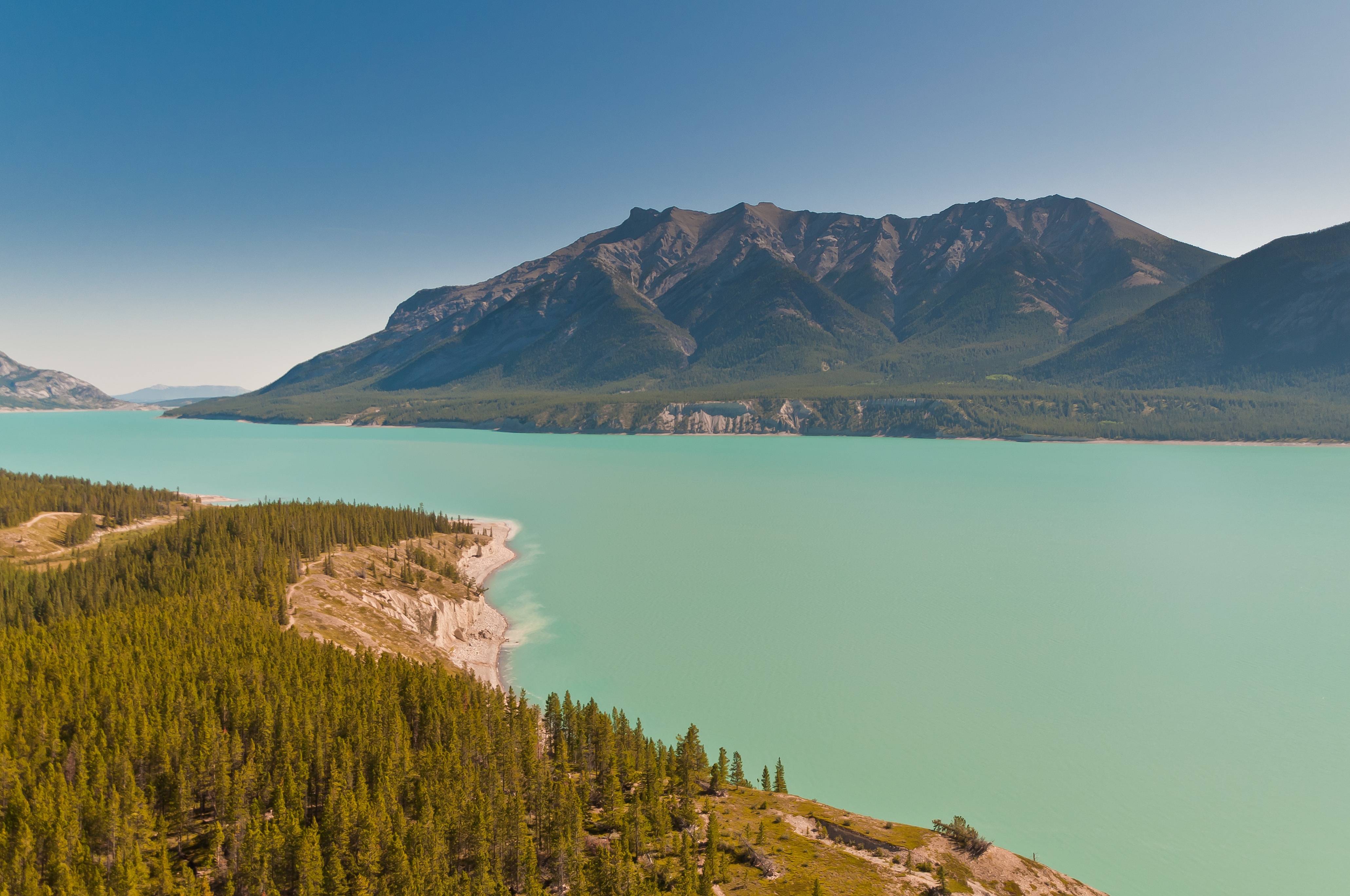
Abraham Lake, Alberta (View from the Helicopter)
View from the Twins

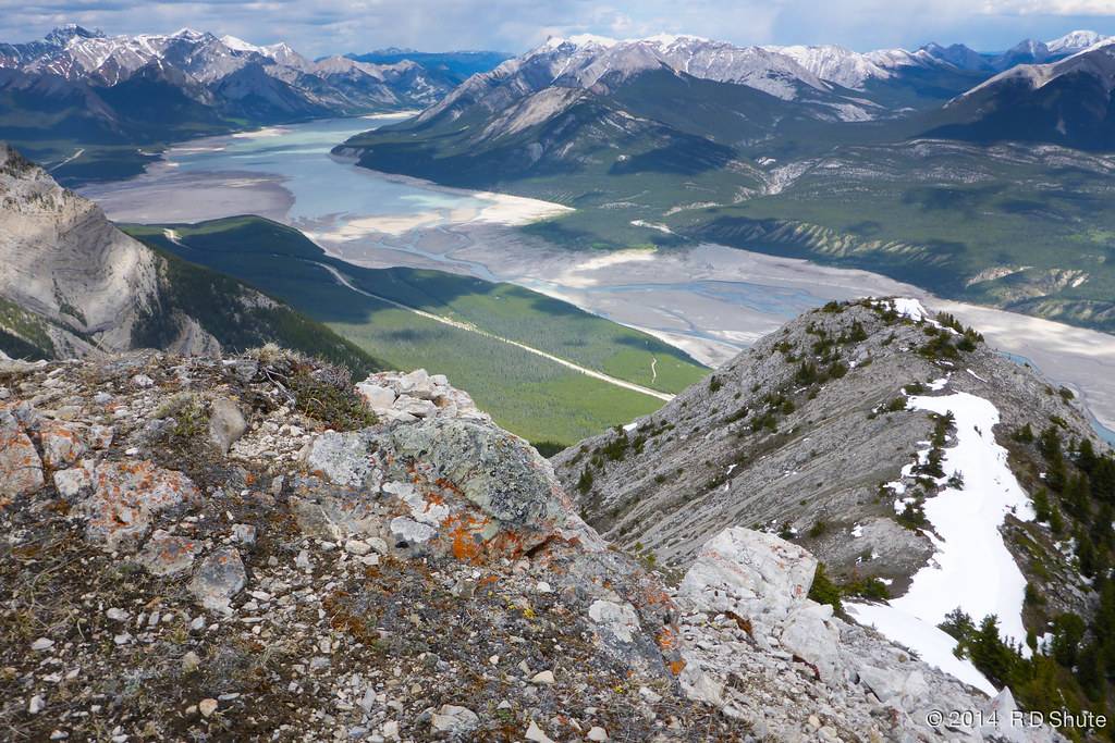
A scenic view
Topographic Map of Mount Mumford, Clearwater County, AB T0M, Canada
Find elevation by address:

Places near Mount Mumford, Clearwater County, AB T0M, Canada:
Mount William Booth
William Booth Se2
Mount Bramwell
Stan Waters Peak
Rhine Peak
Mount Michener
Kista Peak
Mount Ernest Ross
Abraham Lake
Kista Se4
Elliot Peak
Columbia Icefields Tour
Cline River
Sentinel Mountain
Abraham Mountain
Sufi Peak
Allstones Peak
Mount Stelfox
Onion Peak
Bright Star Peak
Recent Searches:
- Elevation of Denver, 2314, Arapahoe Street, Five Points, Denver, Colorado, 80205, USA
- Elevation of Community of the Beatitudes, 2924, West 43rd Avenue, Sunnyside, Denver, Colorado, 80211, USA
- Elevation map of Litang County, Sichuan, China
- Elevation map of Madoi County, Qinghai, China
- Elevation of 3314, Ohio State Route 114, Payne, Paulding County, Ohio, 45880, USA
- Elevation of Sarahills Drive, Saratoga, Santa Clara County, California, 95070, USA
- Elevation of Town of Bombay, Franklin County, New York, USA
- Elevation of 9, Convent Lane, Center Moriches, Suffolk County, New York, 11934, USA
- Elevation of Saint Angelas Convent, 9, Convent Lane, Center Moriches, Suffolk County, New York, 11934, USA
- Elevation of 131st Street Southwest, Mukilteo, Snohomish County, Washington, 98275, USA
- Elevation of 304, Harrison Road, Naples, Cumberland County, Maine, 04055, USA
- Elevation of 2362, Timber Ridge Road, Harrisburg, Cabarrus County, North Carolina, 28075, USA
- Elevation of Ridge Road, Marshalltown, Marshall County, Iowa, 50158, USA
- Elevation of 2459, Misty Shadows Drive, Pigeon Forge, Sevier County, Tennessee, 37862, USA
- Elevation of 8043, Brightwater Way, Spring Hill, Williamson County, Tennessee, 37179, USA
- Elevation of Starkweather Road, San Luis, Costilla County, Colorado, 81152, USA
- Elevation of 5277, Woodside Drive, Baton Rouge, East Baton Rouge Parish, Louisiana, 70808, USA
- Elevation of 1139, Curtin Street, Shepherd Park Plaza, Houston, Harris County, Texas, 77018, USA
- Elevation of 136, Sellers Lane, Repton, Monroe County, Alabama, 36475, USA
- Elevation of 12914, Elmington Drive, Lakewood Forest, Houston, Harris County, Texas, 77429, USA