Elevation of Olive St, Murray, KY, USA
Location: United States > Kentucky > Calloway County > Murray >
Longitude: -88.306199
Latitude: 36.6125447
Elevation: 152m / 499feet
Barometric Pressure: 100KPa
Elevation Map:
Satellite Map:
Related Photos:

Another view of the head
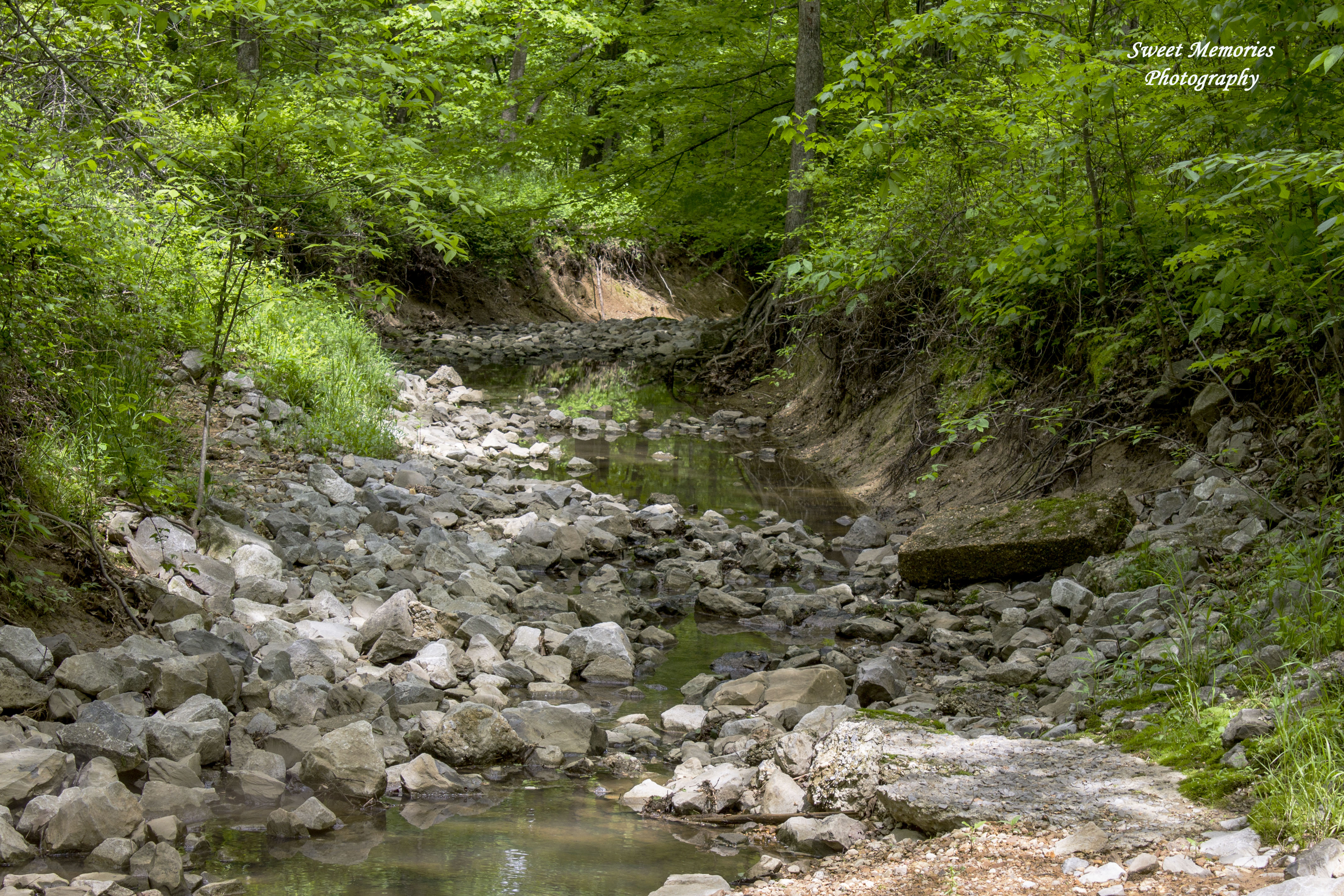
Rock Creek

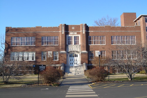
Faculty Hall Murray State
D71_3455 E
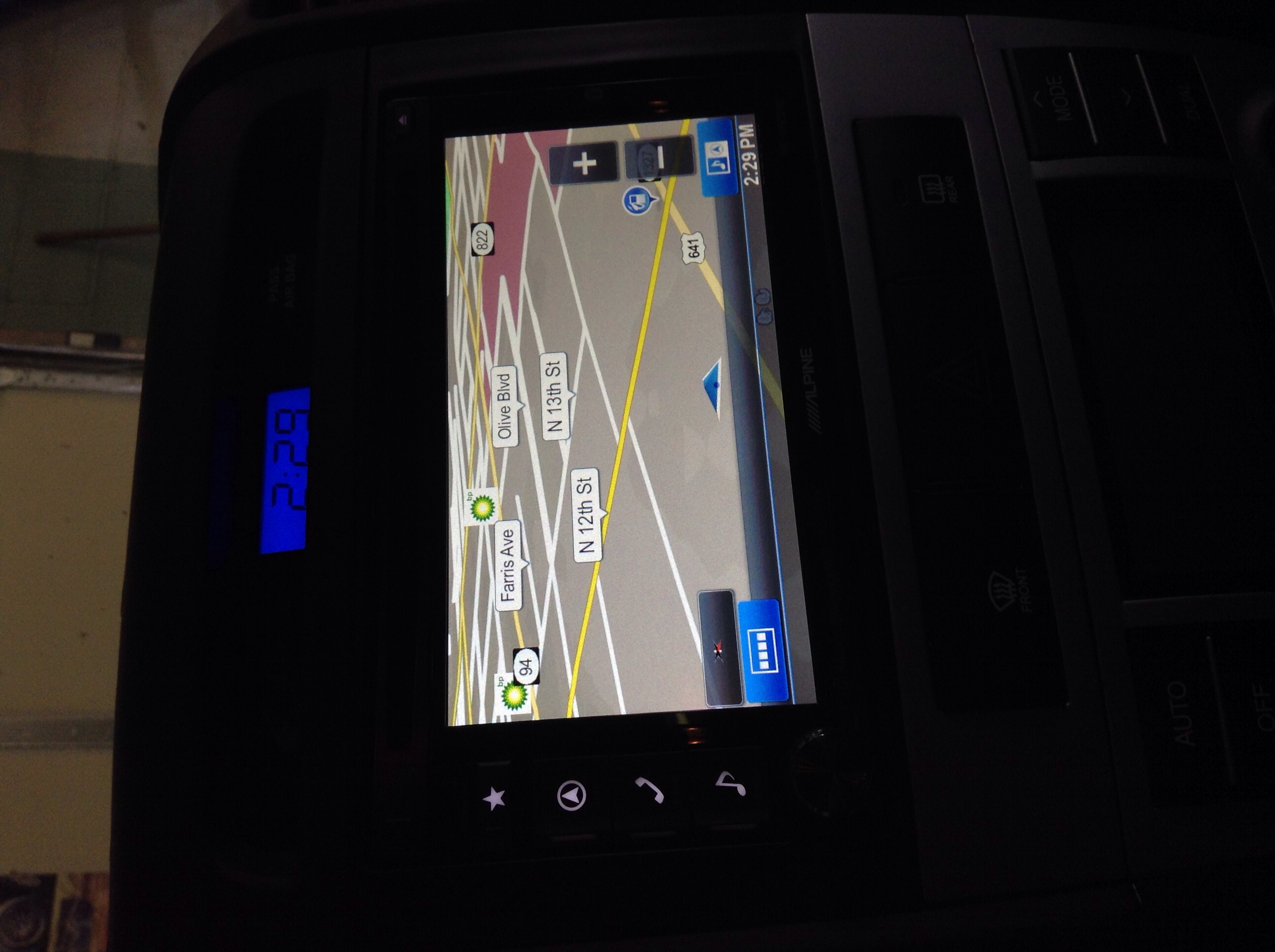
Alpine INE-S920HD

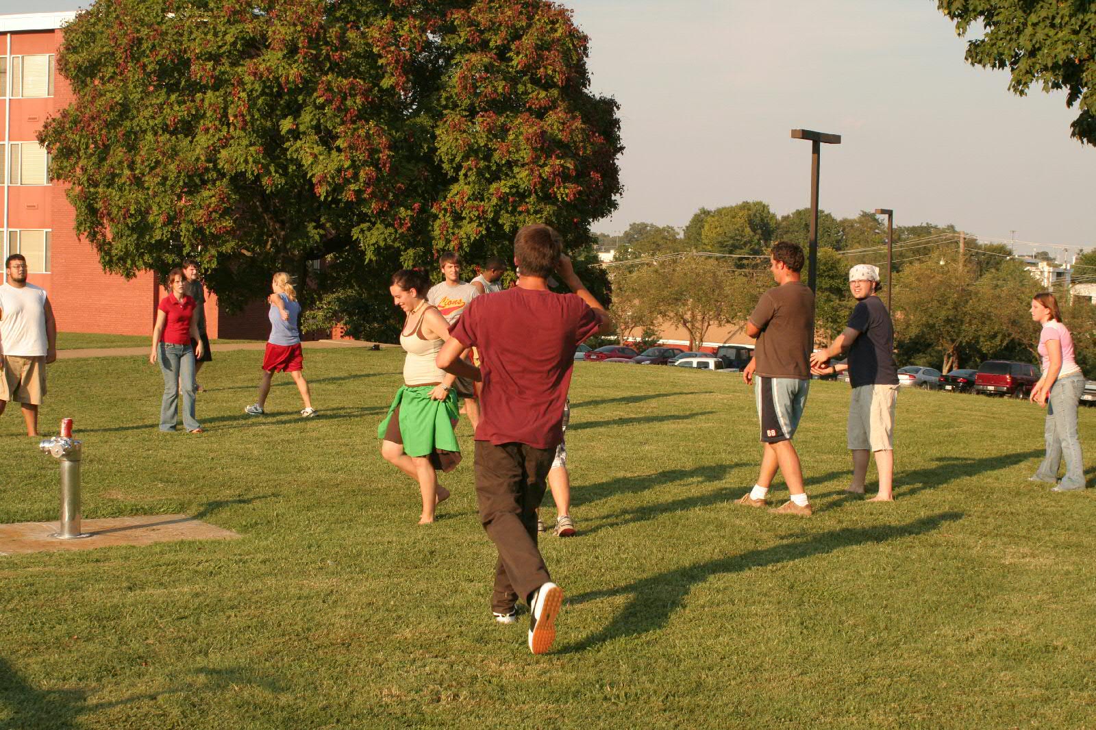
Murray State

Jones Family Clock Tower

Veggie Omelette

Bradley-DesktopPic
IMG_1637.JPG

IMG_1626.JPG
Wrather Hall
IMG_2834.JPG

I feel like they're talking about me.
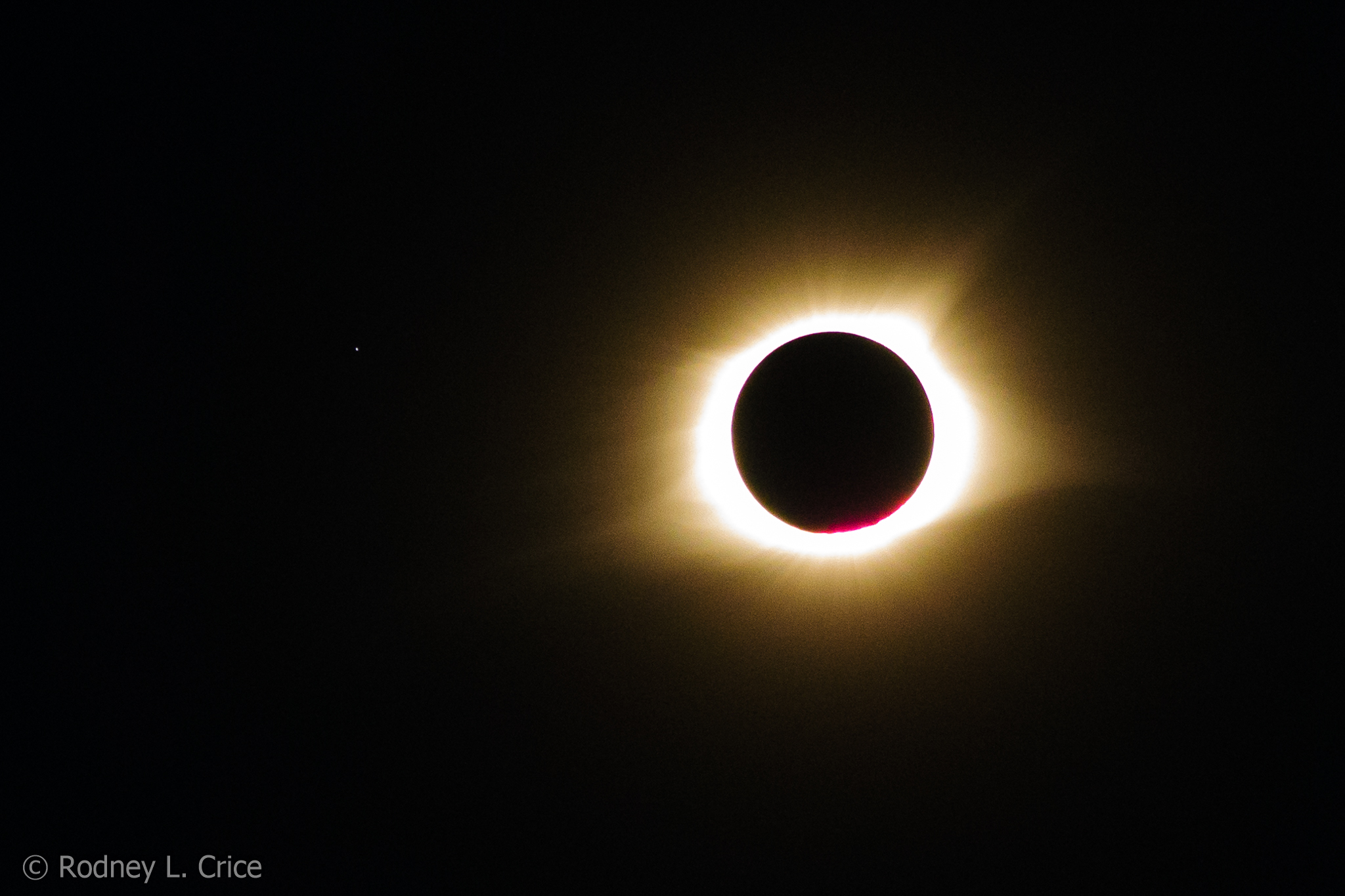
total solar eclipse
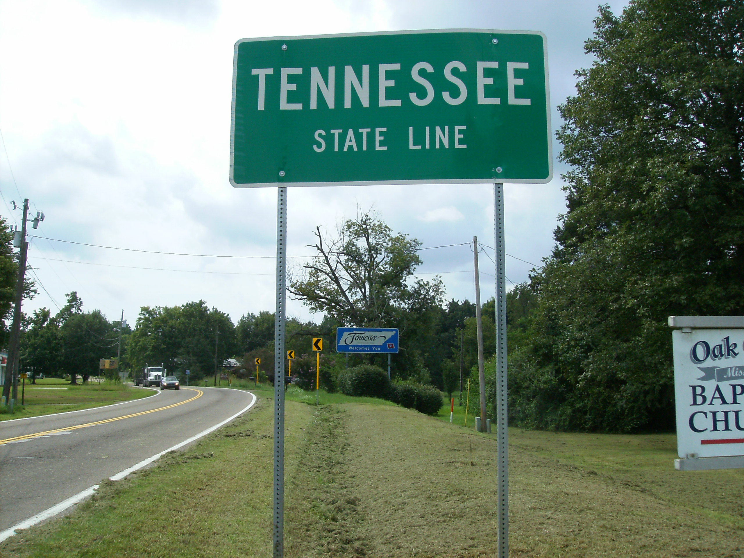
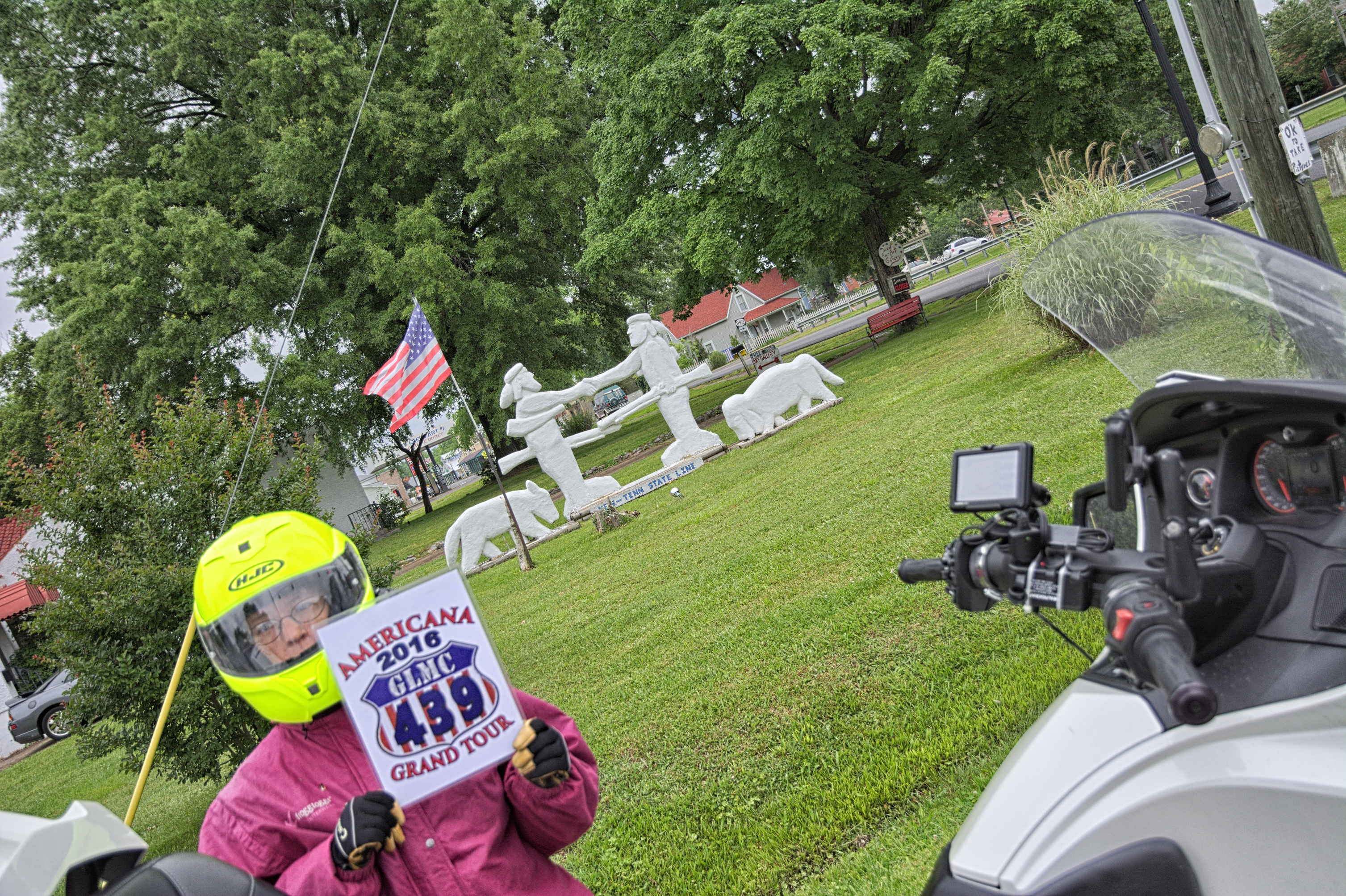
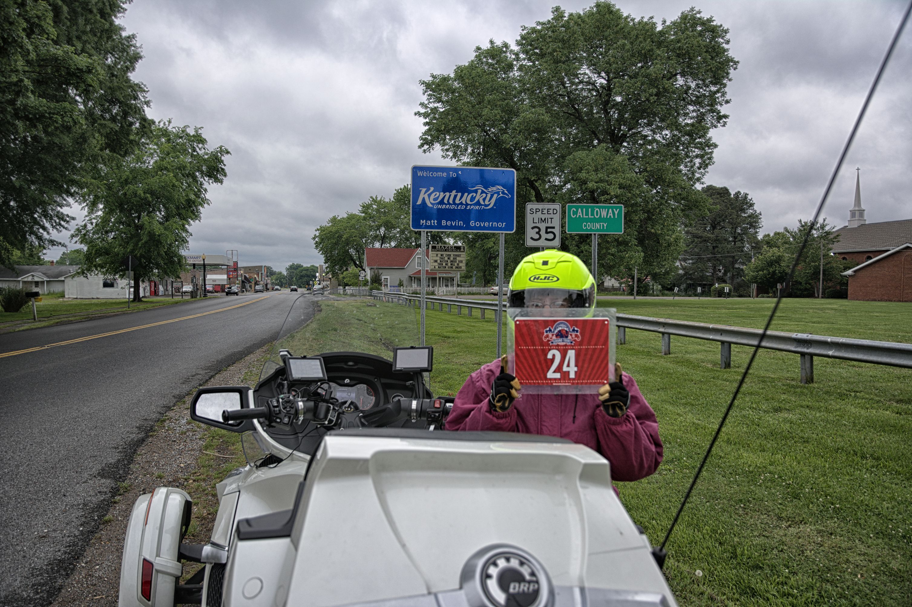
KY-TN Line Hazel KY
Welcome to Kentucky
Topographic Map of Olive St, Murray, KY, USA
Find elevation by address:

Places near Olive St, Murray, KY, USA:
Briggs & Stratton
Main St, Murray, KY, USA
Murray
Murray State University
1415 Lowes Dr
Dr. James R. Wells Iii, Dmd
1508 London Dr
Calloway County
169 North Dr
Almo Rd, Almo, KY, USA
KY-94, Almo, KY, USA
Almo
1494 Pleasant Hill Dr
1777 Hopkins Rd
1361 Almo-shiloh Rd
Kirksey
95 Dogwood Ln, Kirksey, KY, USA
4th St, Hardin, KY, USA
Hardin
Boatwright Trail, Murray, KY, USA
Recent Searches:
- Elevation of Corso Fratelli Cairoli, 35, Macerata MC, Italy
- Elevation of Tallevast Rd, Sarasota, FL, USA
- Elevation of 4th St E, Sonoma, CA, USA
- Elevation of Black Hollow Rd, Pennsdale, PA, USA
- Elevation of Oakland Ave, Williamsport, PA, USA
- Elevation of Pedrógão Grande, Portugal
- Elevation of Klee Dr, Martinsburg, WV, USA
- Elevation of Via Roma, Pieranica CR, Italy
- Elevation of Tavkvetili Mountain, Georgia
- Elevation of Hartfords Bluff Cir, Mt Pleasant, SC, USA