Elevation of Calloway County, KY, USA
Location: United States > Kentucky >
Longitude: -88.285042
Latitude: 36.6402766
Elevation: 136m / 446feet
Barometric Pressure: 100KPa
Elevation Map:
Satellite Map:
Related Photos:

Another view of the head
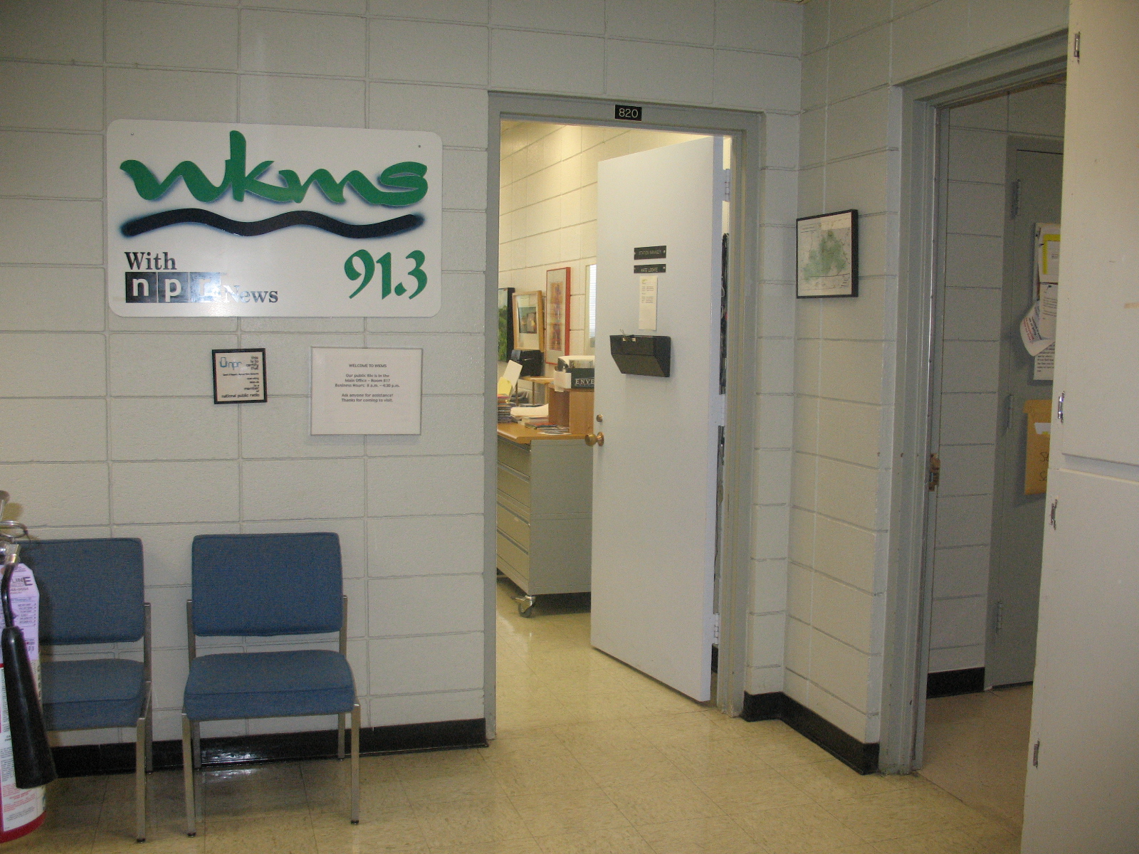
Entrance area to WKMS
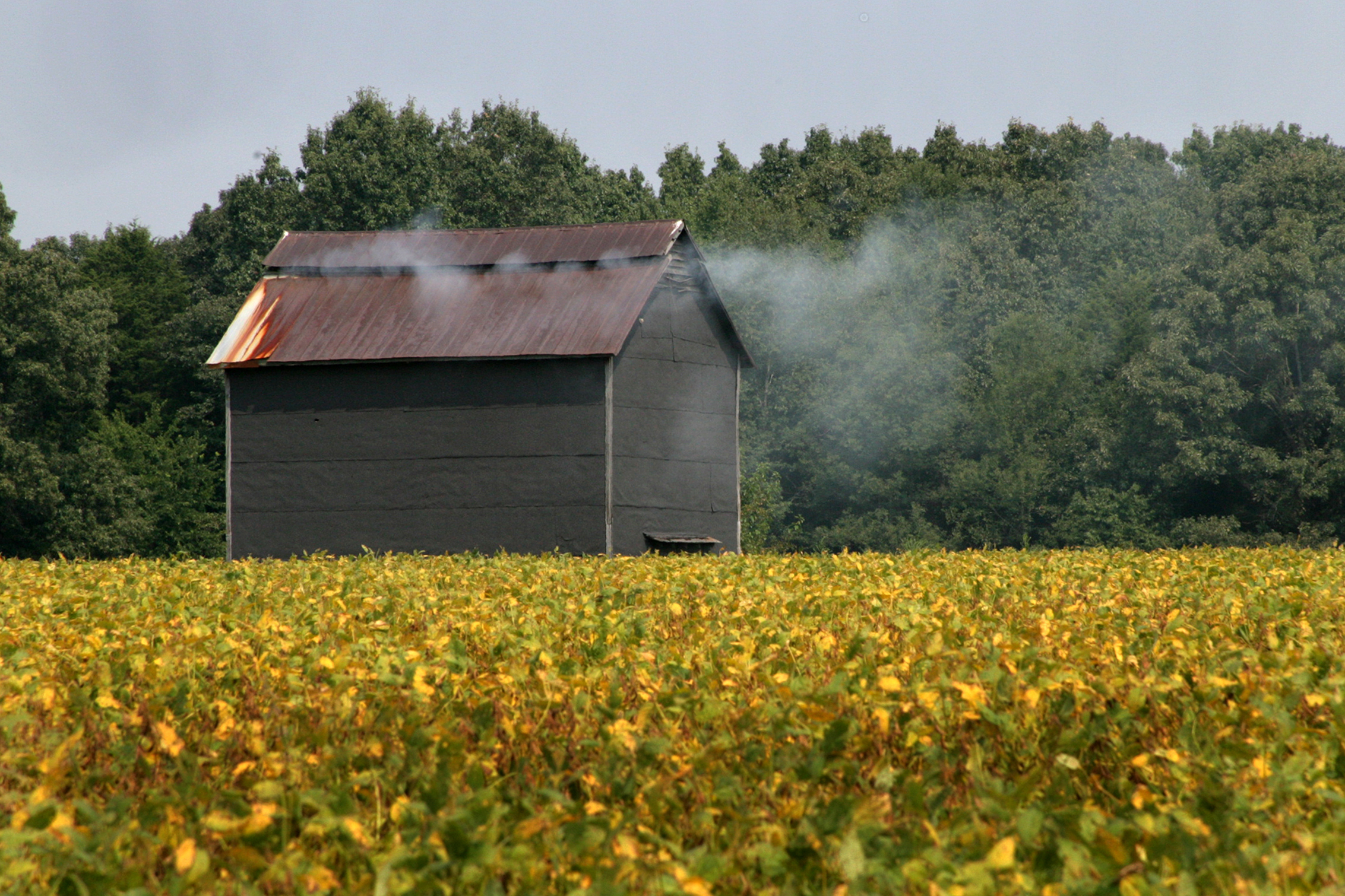
Tobacco barn in a soybean field

Overgrowth 2
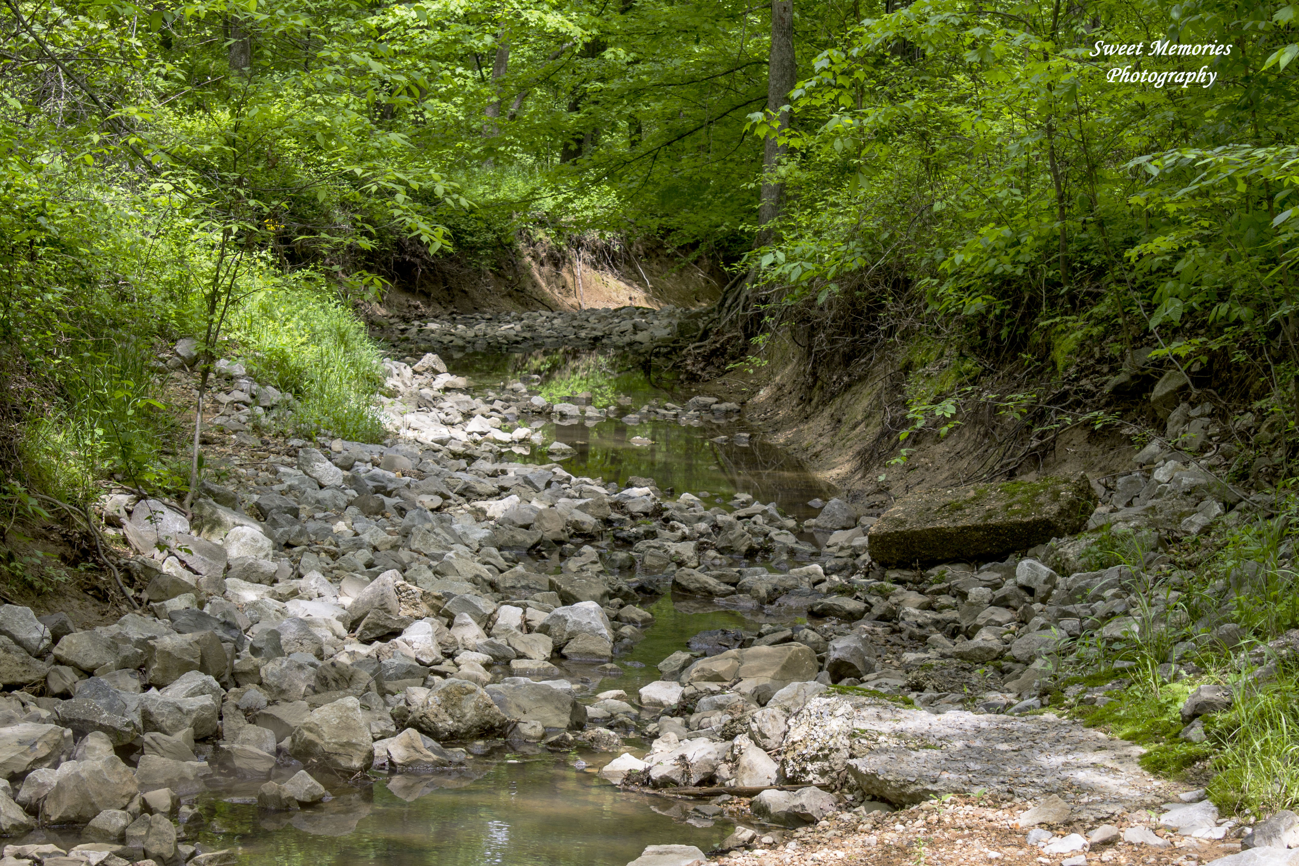
Rock Creek
IMG_20160110_131744_edited-1
Dover lock

Cheri Theater

AFLV Central 01

MLK Day of Service 2016

MLK Day of Service 2016

MLK Day of Service 2016

MLK Day of Service 2016

Order of Omega Speed Dating
I heart Kentucky.
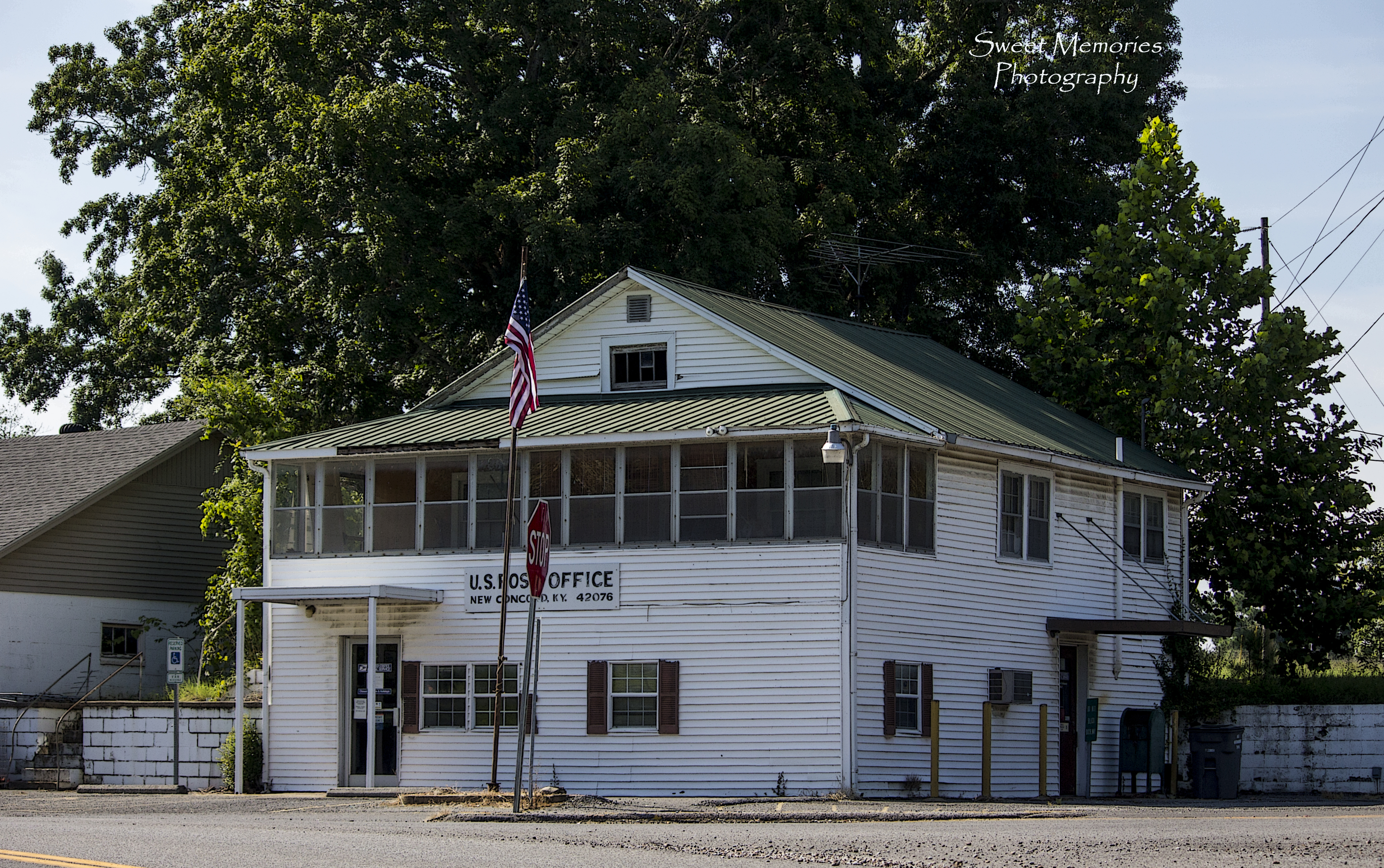
U.S. Post Office
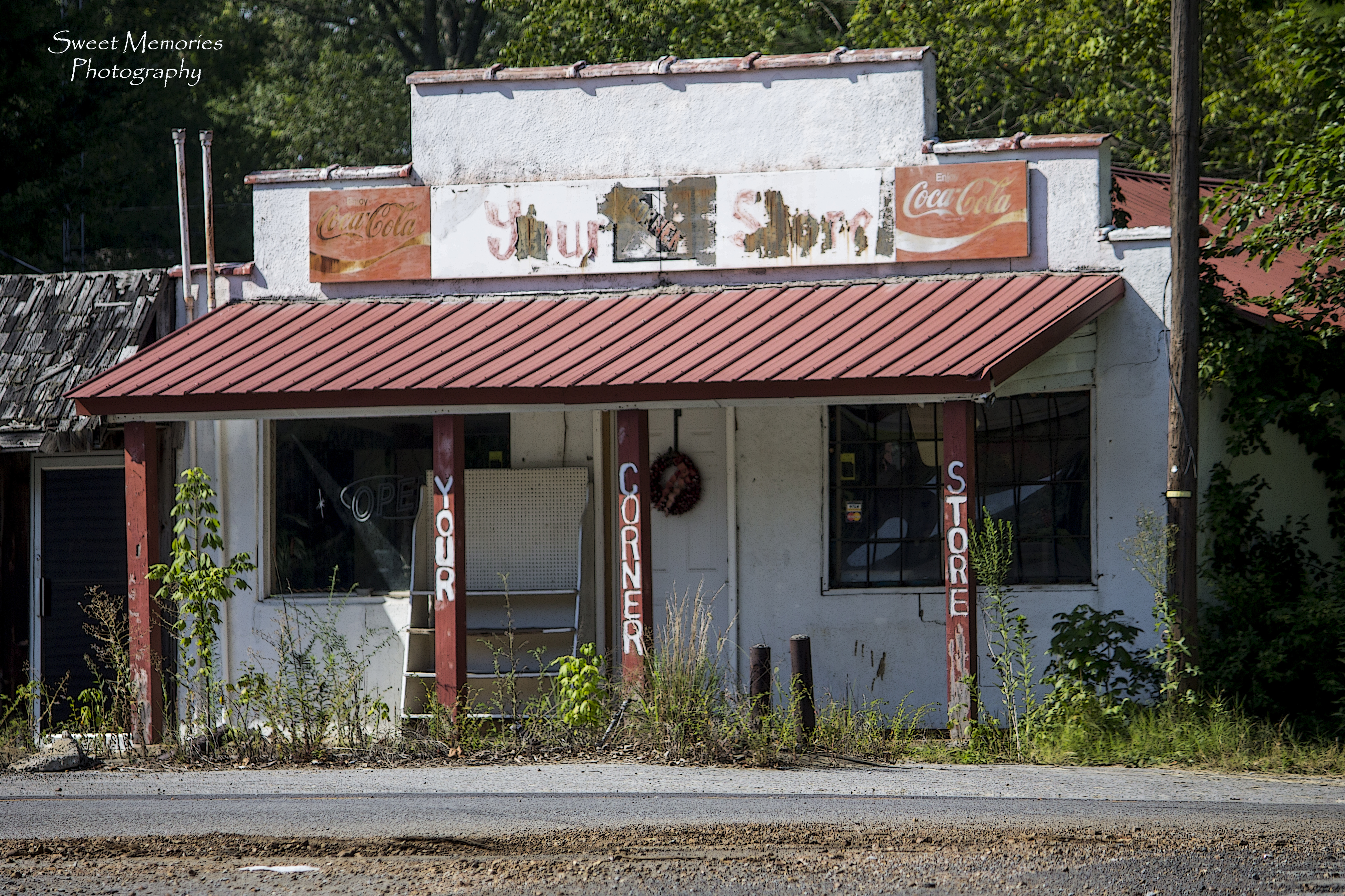
Your Corner Store

Hidden Gem
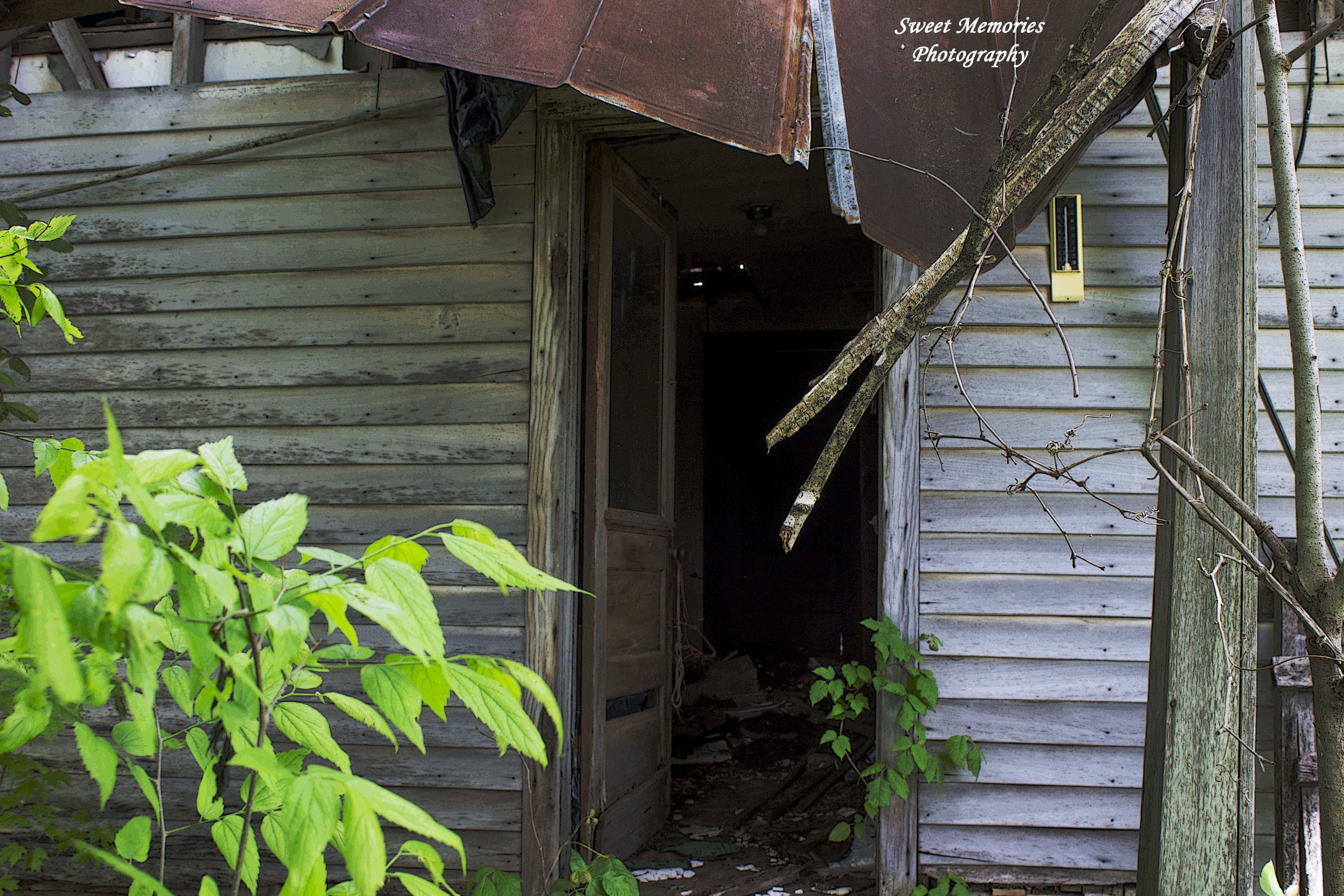
Open Door
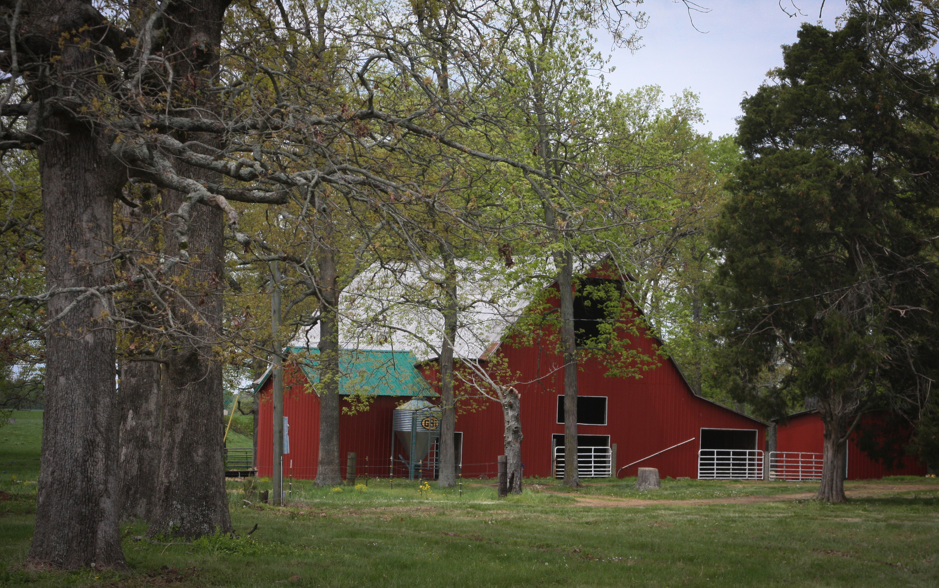
Calloway Co. KY Barn

Red Barn with Yellow Weeds
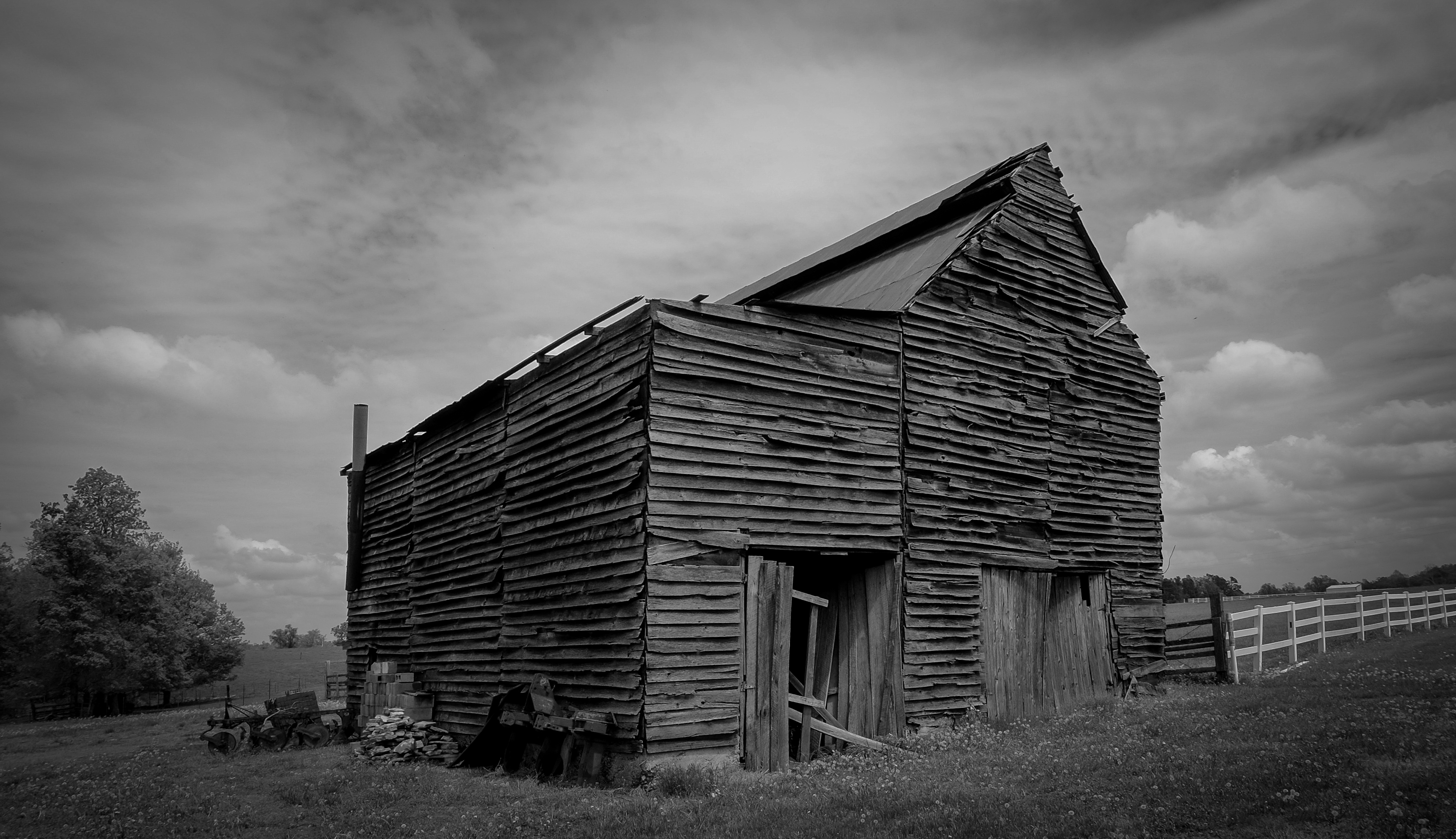
Plank Barn

Courtney's first dog

Hair cut for summer heat

The Most BEATIFUL women in the WORLD
Topographic Map of Calloway County, KY, USA
Find elevation by address:

Places in Calloway County, KY, USA:
Places near Calloway County, KY, USA:
Briggs & Stratton
701 Olive St
1415 Lowes Dr
Murray
Main St, Murray, KY, USA
Murray State University
Dr. James R. Wells Iii, Dmd
169 North Dr
Almo Rd, Almo, KY, USA
Almo
KY-94, Almo, KY, USA
1508 London Dr
1494 Pleasant Hill Dr
1361 Almo-shiloh Rd
1777 Hopkins Rd
4th St, Hardin, KY, USA
Hardin
Kirksey
95 Dogwood Ln, Kirksey, KY, USA
Boatwright Trail, Murray, KY, USA
Recent Searches:
- Elevation of Corso Fratelli Cairoli, 35, Macerata MC, Italy
- Elevation of Tallevast Rd, Sarasota, FL, USA
- Elevation of 4th St E, Sonoma, CA, USA
- Elevation of Black Hollow Rd, Pennsdale, PA, USA
- Elevation of Oakland Ave, Williamsport, PA, USA
- Elevation of Pedrógão Grande, Portugal
- Elevation of Klee Dr, Martinsburg, WV, USA
- Elevation of Via Roma, Pieranica CR, Italy
- Elevation of Tavkvetili Mountain, Georgia
- Elevation of Hartfords Bluff Cir, Mt Pleasant, SC, USA